Elevation of Inverness, Jamaica
Location: Jamaica > Saint Ann Parish >
Longitude: -77.361872
Latitude: 18.2773354
Elevation: 637m / 2090feet
Barometric Pressure: 94KPa
Elevation Map:
Satellite Map:
Related Photos:
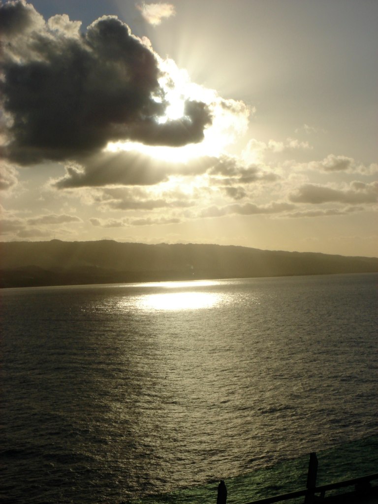
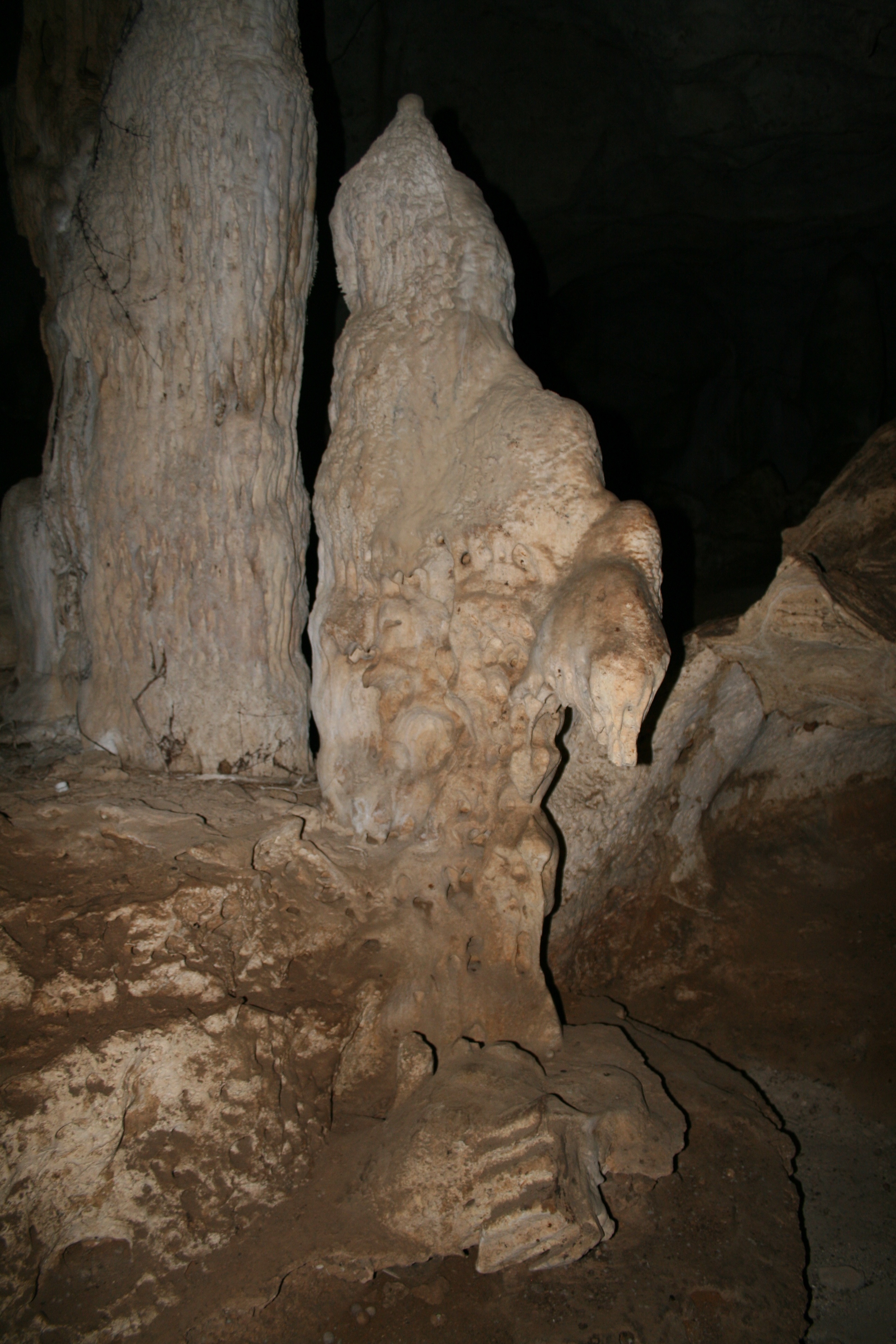
DSC06288.JPG

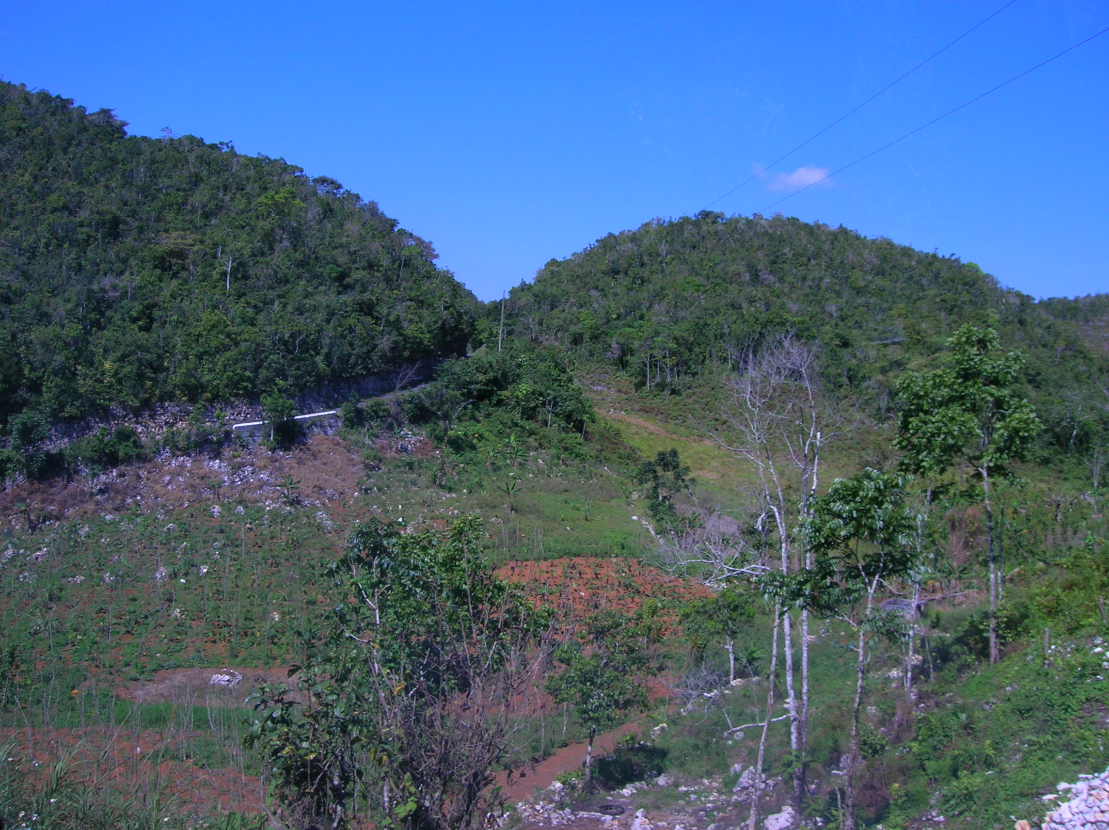
Countryside Outside of Brown's Town, Saint Ann, Jamaica
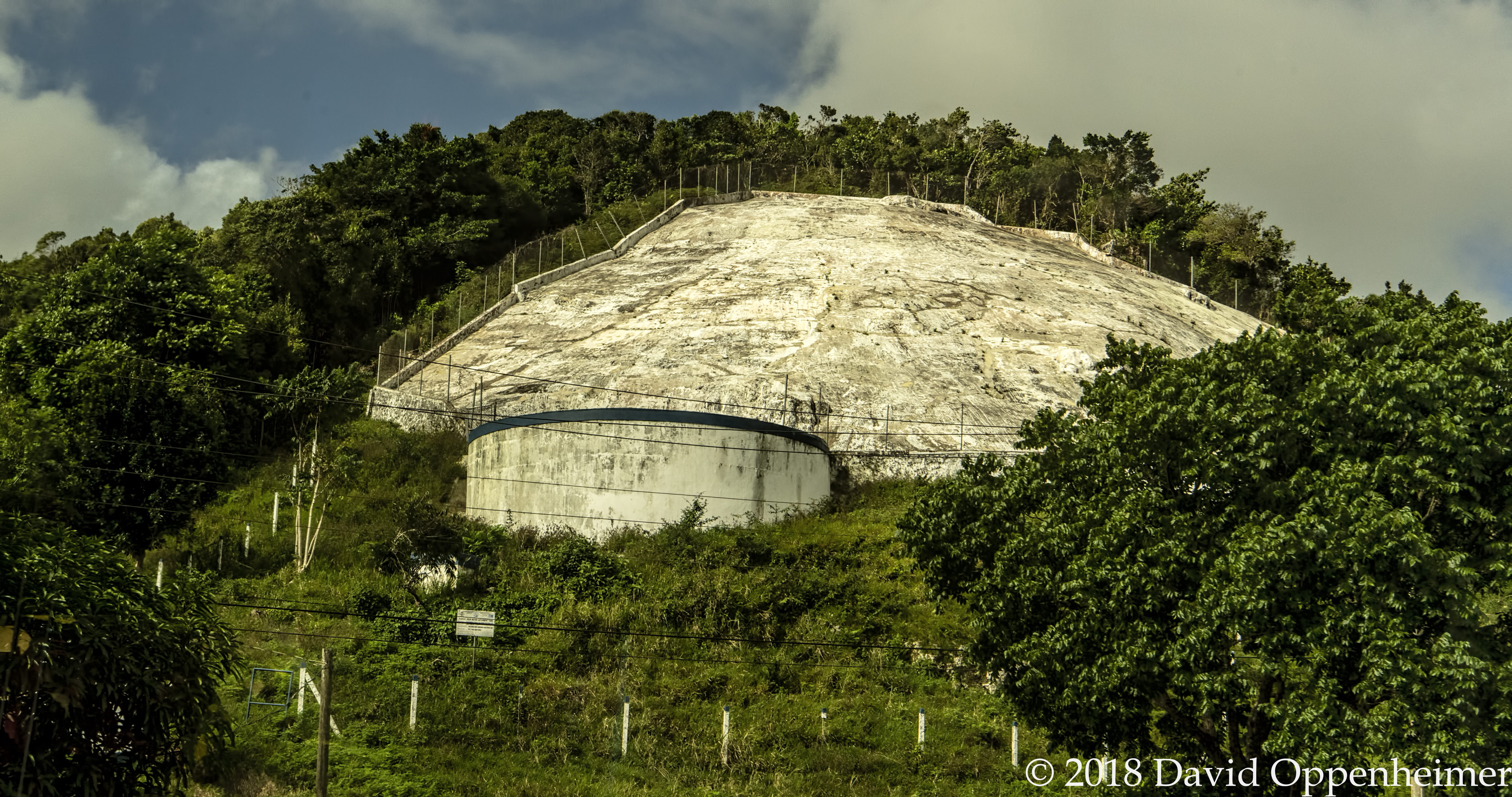
Rainwater Collection Rock in Jamaica
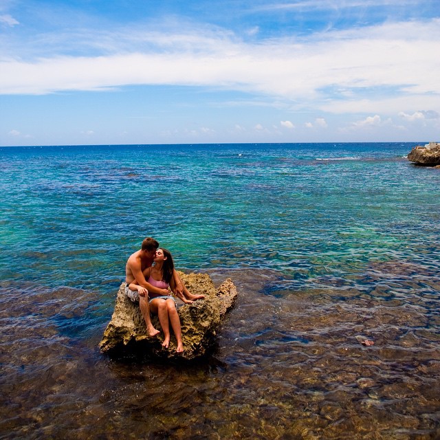
Grab the one you love and tell them how much they mean to you - Happy Valentine's Day!! #carypenningtonphotography #jamaica #engagementphotos
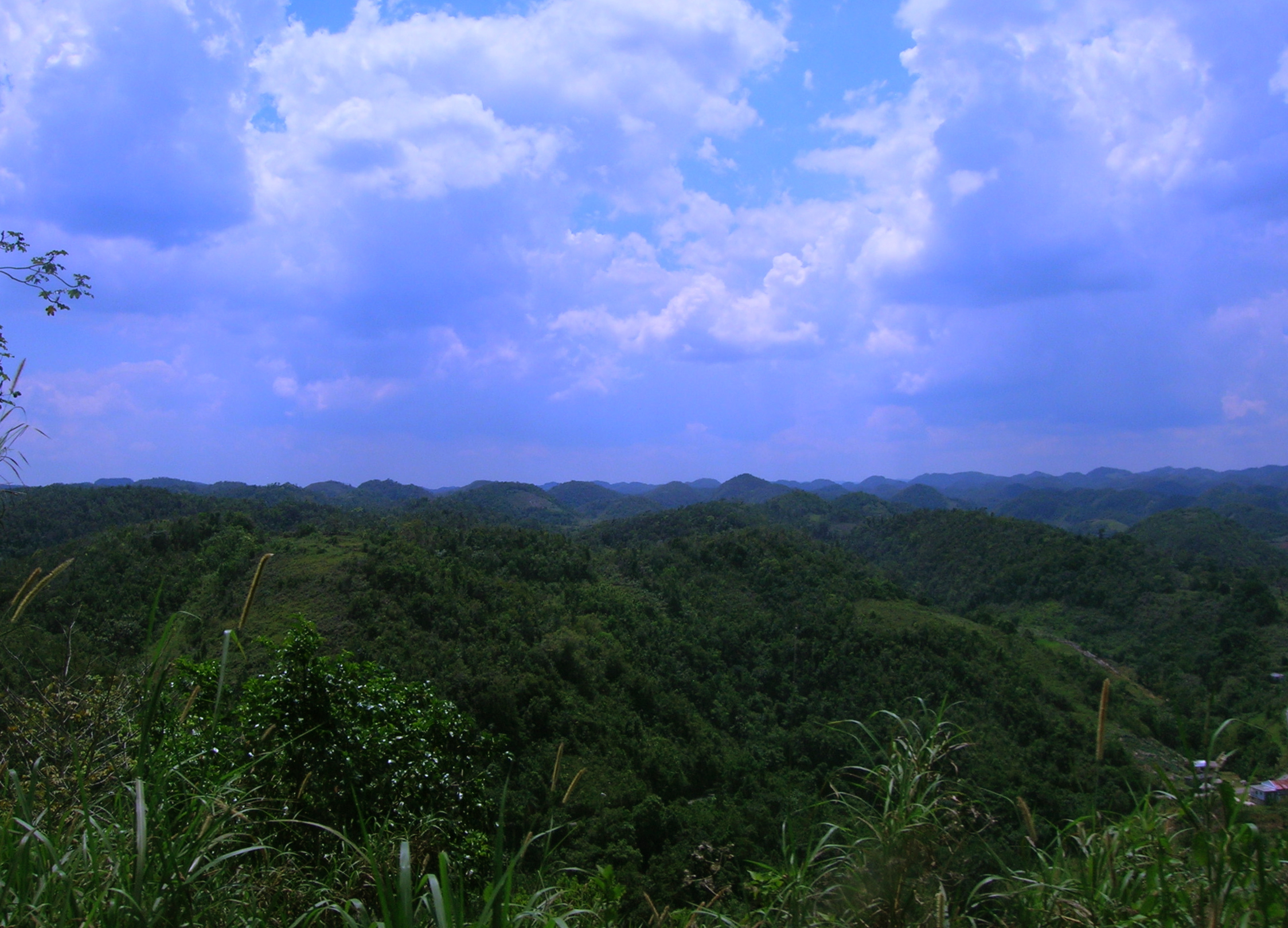
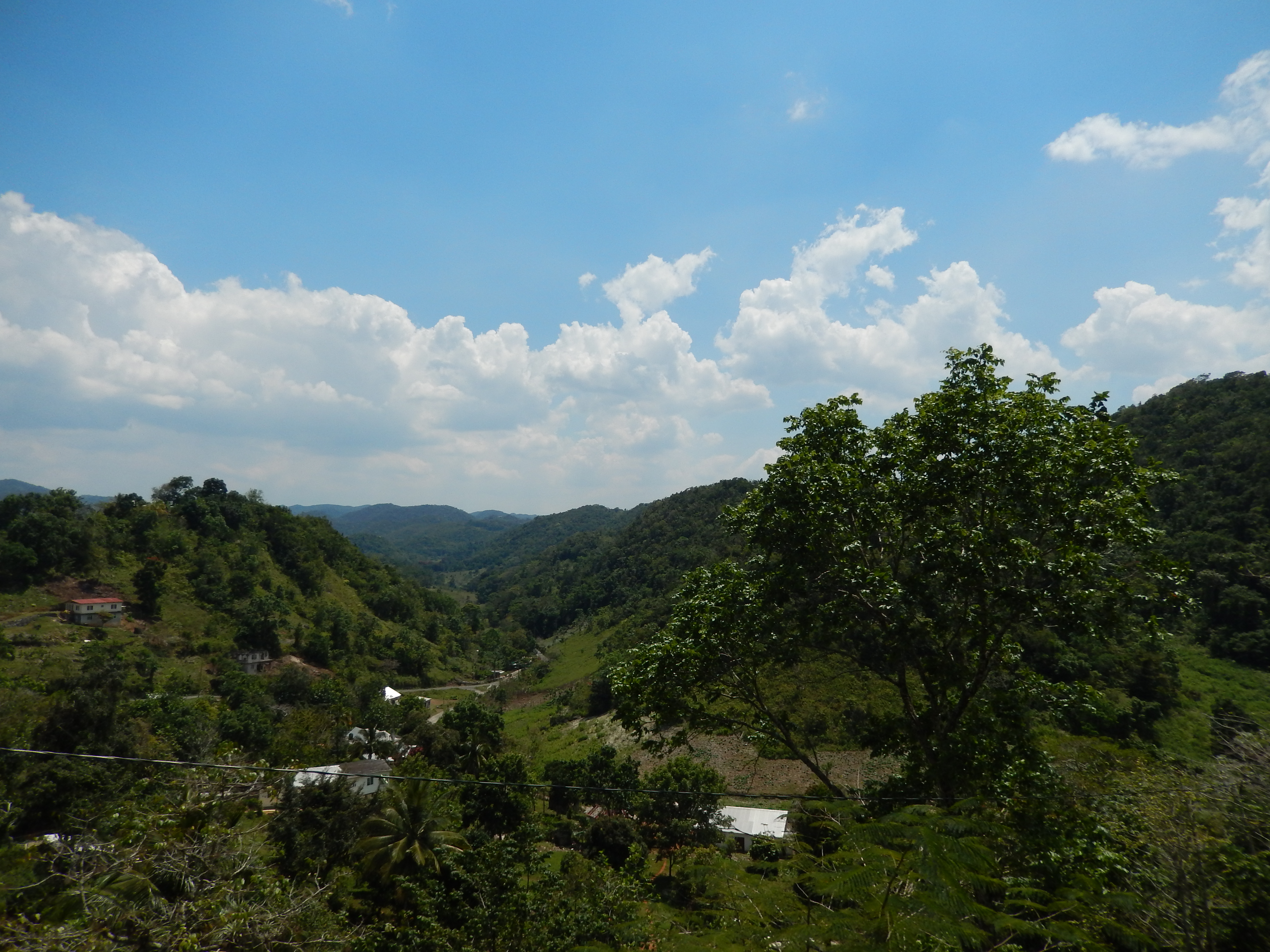
Jamaican Countryside
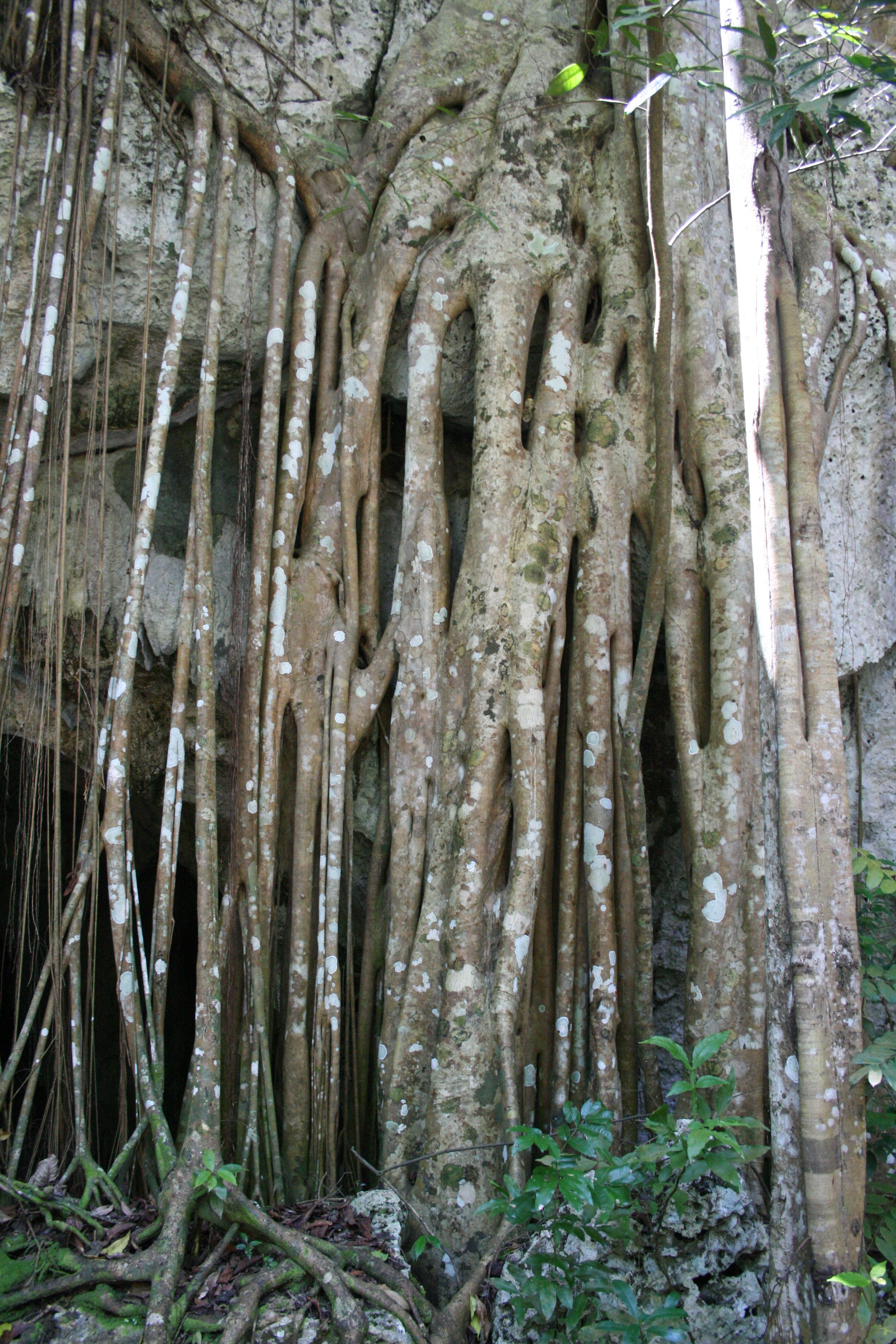
IMG_4381.JPG
Jamaican Countryside

Jamaican Countryside

IMG_4384.JPG
IMG_4403.JPG
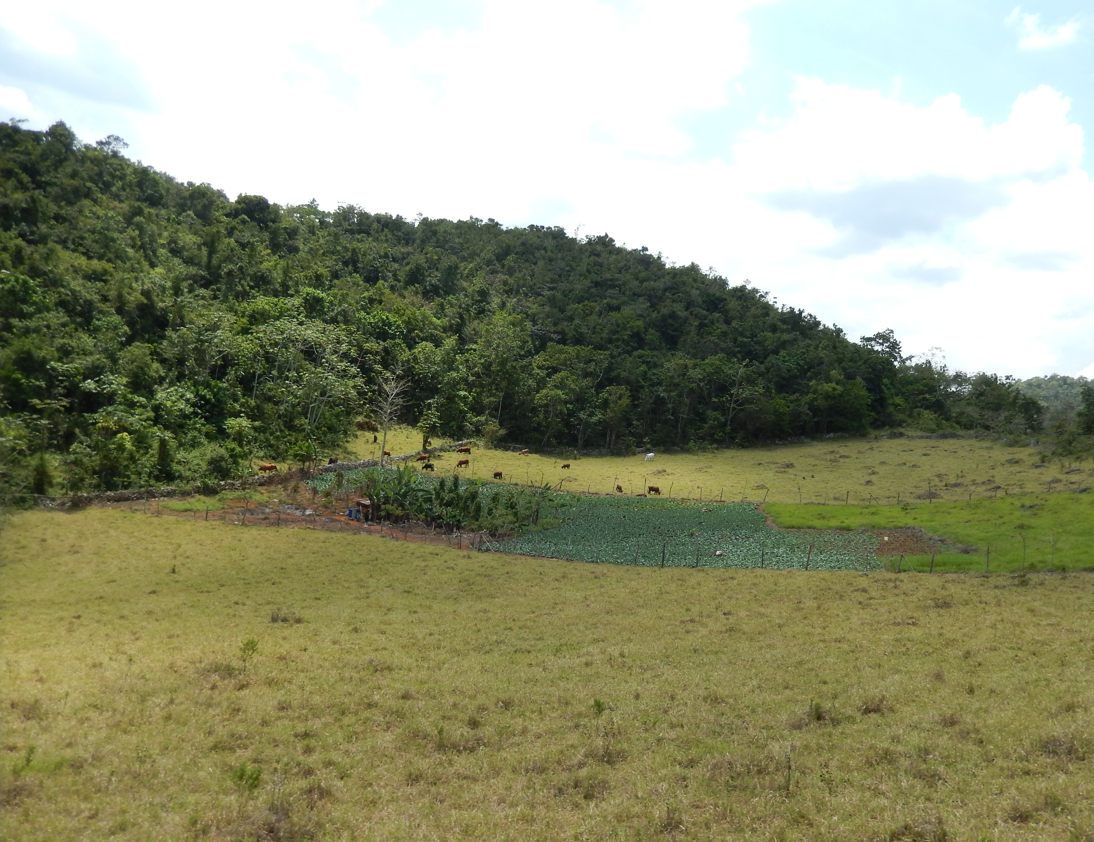
Jamaican Countryside
Jamaican Countryside
Topographic Map of Inverness, Jamaica
Find elevation by address:

Places near Inverness, Jamaica:
Inverness Post Office
Cave Valley
Aenon Town
Frankfield
Lorrimers
Spalding
Coleyville Seventh-day Adventist Church
Christiana
Devon
Kendal Police Station
Royal Flat
Porus
Troy
Heartease
Manchester Parish
Battersea Road
Maidstone Branch Library
Mandeville
Waltham Road & Rockton Drive
Waltham Road & Rockton Drive
Recent Searches:
- Elevation of Gateway Blvd SE, Canton, OH, USA
- Elevation of East W.T. Harris Boulevard, E W.T. Harris Blvd, Charlotte, NC, USA
- Elevation of West Sugar Creek, Charlotte, NC, USA
- Elevation of Wayland, NY, USA
- Elevation of Steadfast Ct, Daphne, AL, USA
- Elevation of Lagasgasan, X+CQH, Tiaong, Quezon, Philippines
- Elevation of Rojo Ct, Atascadero, CA, USA
- Elevation of Flagstaff Drive, Flagstaff Dr, North Carolina, USA
- Elevation of Avery Ln, Lakeland, FL, USA
- Elevation of Woolwine, VA, USA