Elevation map of Inuvik, Unorganized, NT, Canada
Location: Canada > Northwest Territories > Inuvik Region >
Longitude: -121.70037
Latitude: 71.6238064
Elevation: 101m / 331feet
Barometric Pressure: 100KPa
Elevation Map:
Satellite Map:
Related Photos:
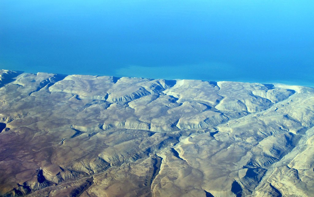
Northeastern coast of Banks Island (Inuvik, Unorganized, NT, Canada)
Topographic Map of Inuvik, Unorganized, NT, Canada
Find elevation by address:

Places in Inuvik, Unorganized, NT, Canada:
Recent Searches:
- Elevation of Leguwa, Nepal
- Elevation of County Rd, Enterprise, AL, USA
- Elevation of Kolchuginsky District, Vladimir Oblast, Russia
- Elevation of Shustino, Vladimir Oblast, Russia
- Elevation of Lampiasi St, Sarasota, FL, USA
- Elevation of Elwyn Dr, Roanoke Rapids, NC, USA
- Elevation of Congressional Dr, Stevensville, MD, USA
- Elevation of Bellview Rd, McLean, VA, USA
- Elevation of Stage Island Rd, Chatham, MA, USA
- Elevation of Shibuya Scramble Crossing, 21 Udagawacho, Shibuya City, Tokyo -, Japan