Elevation of Innisfail, AB, Canada
Location: Canada > Alberta > Division No. 8 >
Longitude: -113.94709
Latitude: 52.0274064
Elevation: 948m / 3110feet
Barometric Pressure: 90KPa
Elevation Map:
Satellite Map:
Related Photos:
A heavenly view

View through the chicken coop

Red Deer river
Passed its prime
1307xx trip home to Canada 01
One Tin Soldier

Spring has Sprung, the grass has 'riss, I wonder where the bird . . . never mind, I see him (Explored 5/01/15)
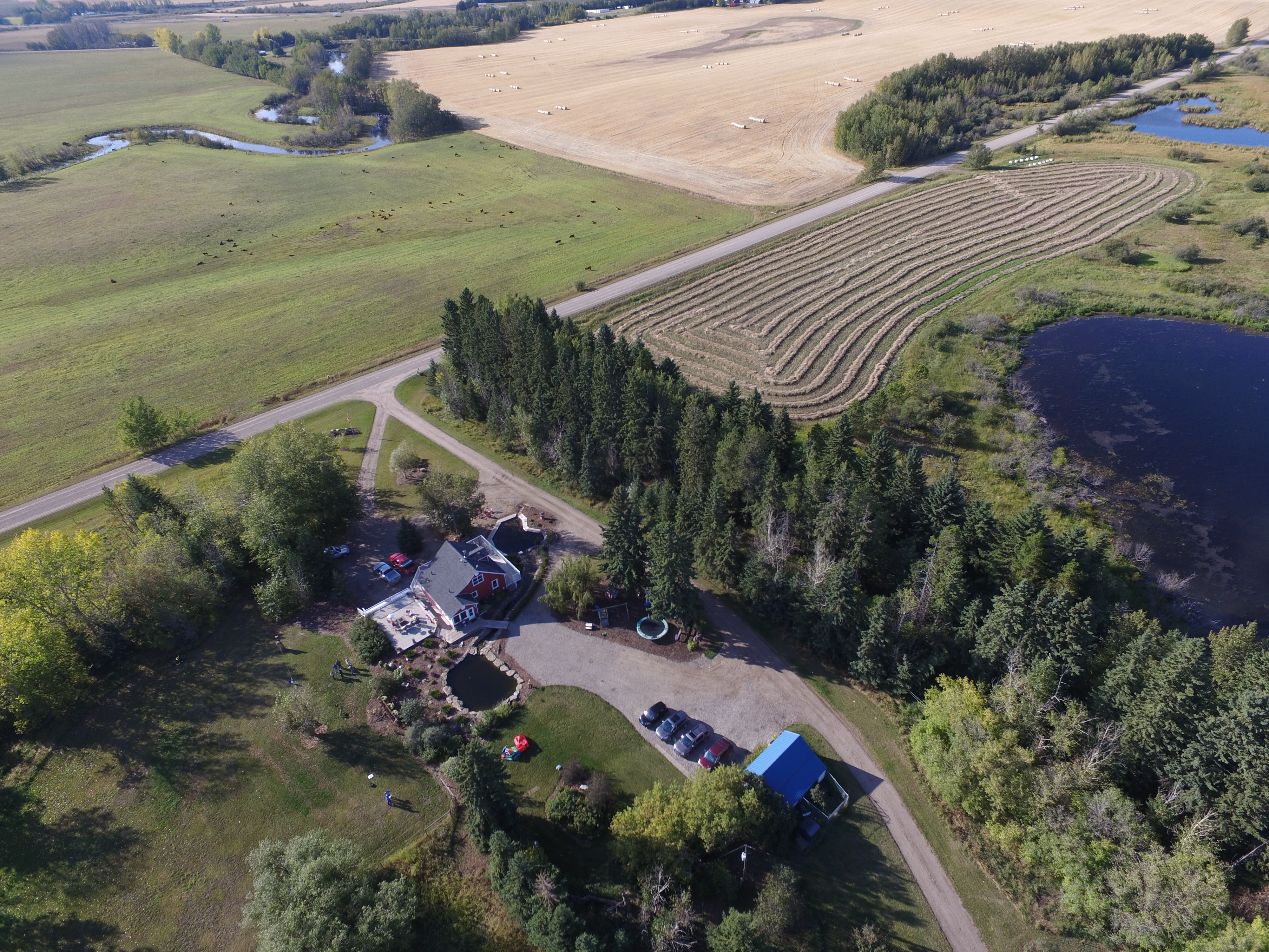
Rural farm
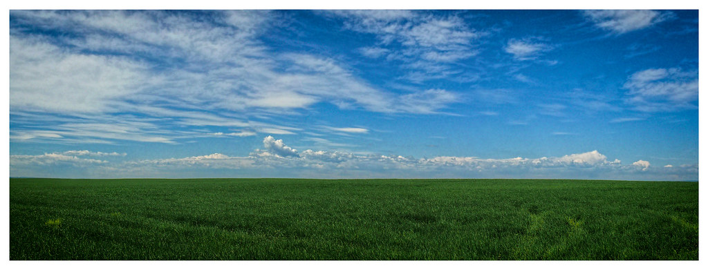
Prairie Sea
2011-08-02 Voyage à Calgary

922-33

Hiking the Plain of Six Glaciers Trail in Banff National Park, Canada
IMG_9386 bwcopy

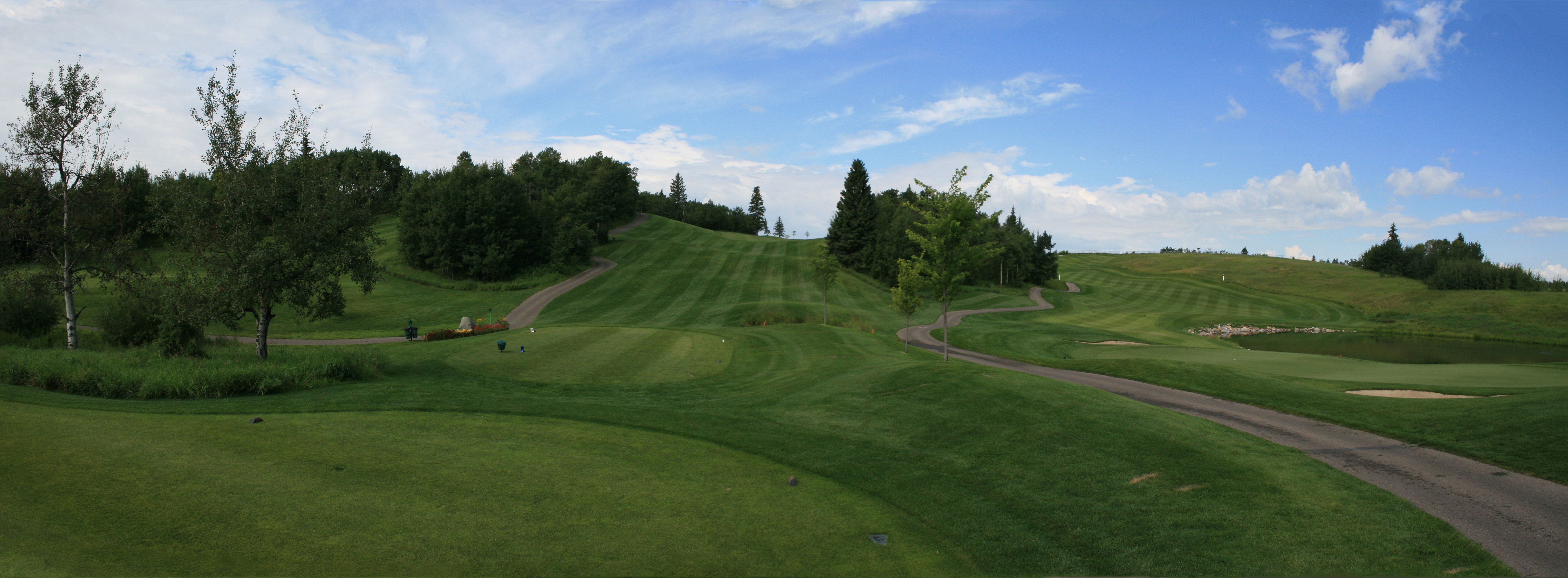
hazelwood 2 Panorama
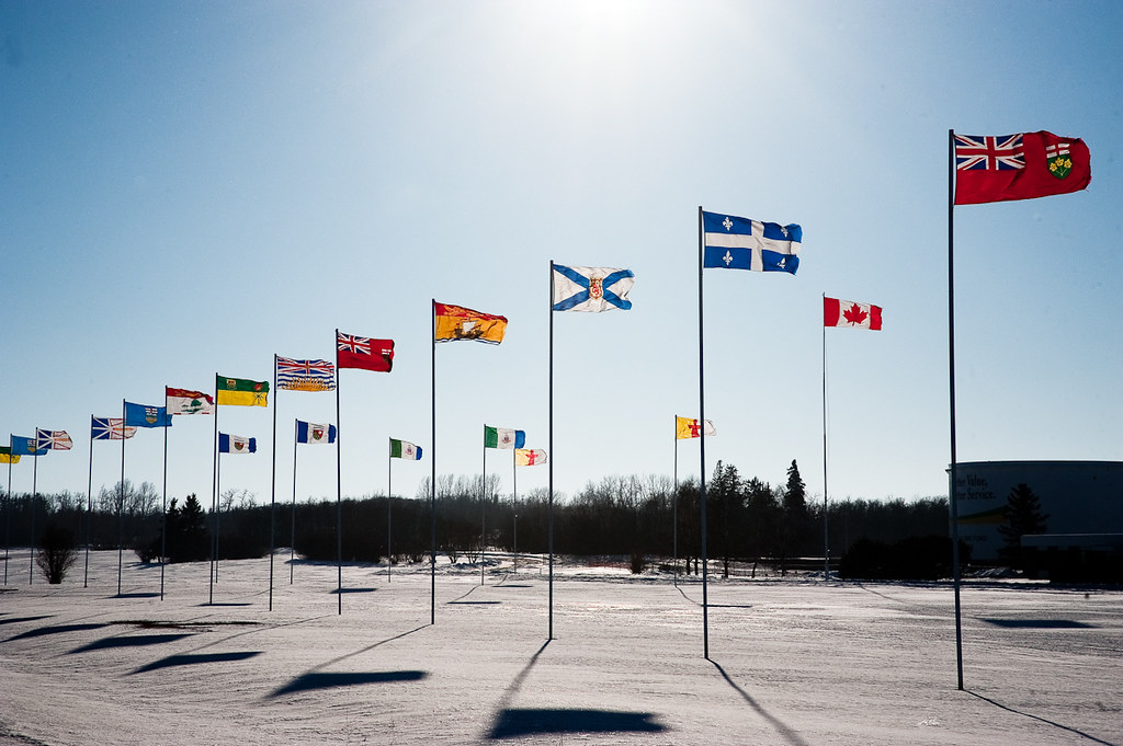
Flags at Bowden
IMG_2854 -2
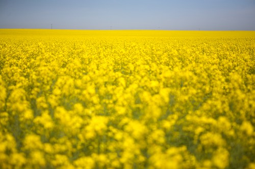
Canola / Koolzaad

IMG_0211 copy

IMG_9228 copy
Aspen 7 Panorama
Topographic Map of Innisfail, AB, Canada
Find elevation by address:

Places near Innisfail, AB, Canada:
5120 39 St
5123 Shannon Dr
5123 Shannon Dr
5123 Shannon Dr
4500 50 Ave Unit 41
4500 50 St
4727 49 St Unit 4
Olds
5633 Sherwood Crescent
5505 51 St
5904 Park Meadows Cres
35 Erhart Cl
63 Briegel Rd
19 Park Ln
Didsbury
19 St, Didsbury, AB T0M 0W0, Canada
Range Rd 20A, Didsbury, AB T0M 0W0, Canada
Mountain View County
Crossfield
Ellen Way
Recent Searches:
- Elevation of Corso Fratelli Cairoli, 35, Macerata MC, Italy
- Elevation of Tallevast Rd, Sarasota, FL, USA
- Elevation of 4th St E, Sonoma, CA, USA
- Elevation of Black Hollow Rd, Pennsdale, PA, USA
- Elevation of Oakland Ave, Williamsport, PA, USA
- Elevation of Pedrógão Grande, Portugal
- Elevation of Klee Dr, Martinsburg, WV, USA
- Elevation of Via Roma, Pieranica CR, Italy
- Elevation of Tavkvetili Mountain, Georgia
- Elevation of Hartfords Bluff Cir, Mt Pleasant, SC, USA