Elevation of Ingot Rd, Cobble Hill, BC V0R 1L6, Canada
Location: Canada > British Columbia > Cowichan Valley > Cowichan Valley B >
Longitude: -123.63886
Latitude: 48.6665477
Elevation: 136m / 446feet
Barometric Pressure: 100KPa
Elevation Map:
Satellite Map:
Related Photos:
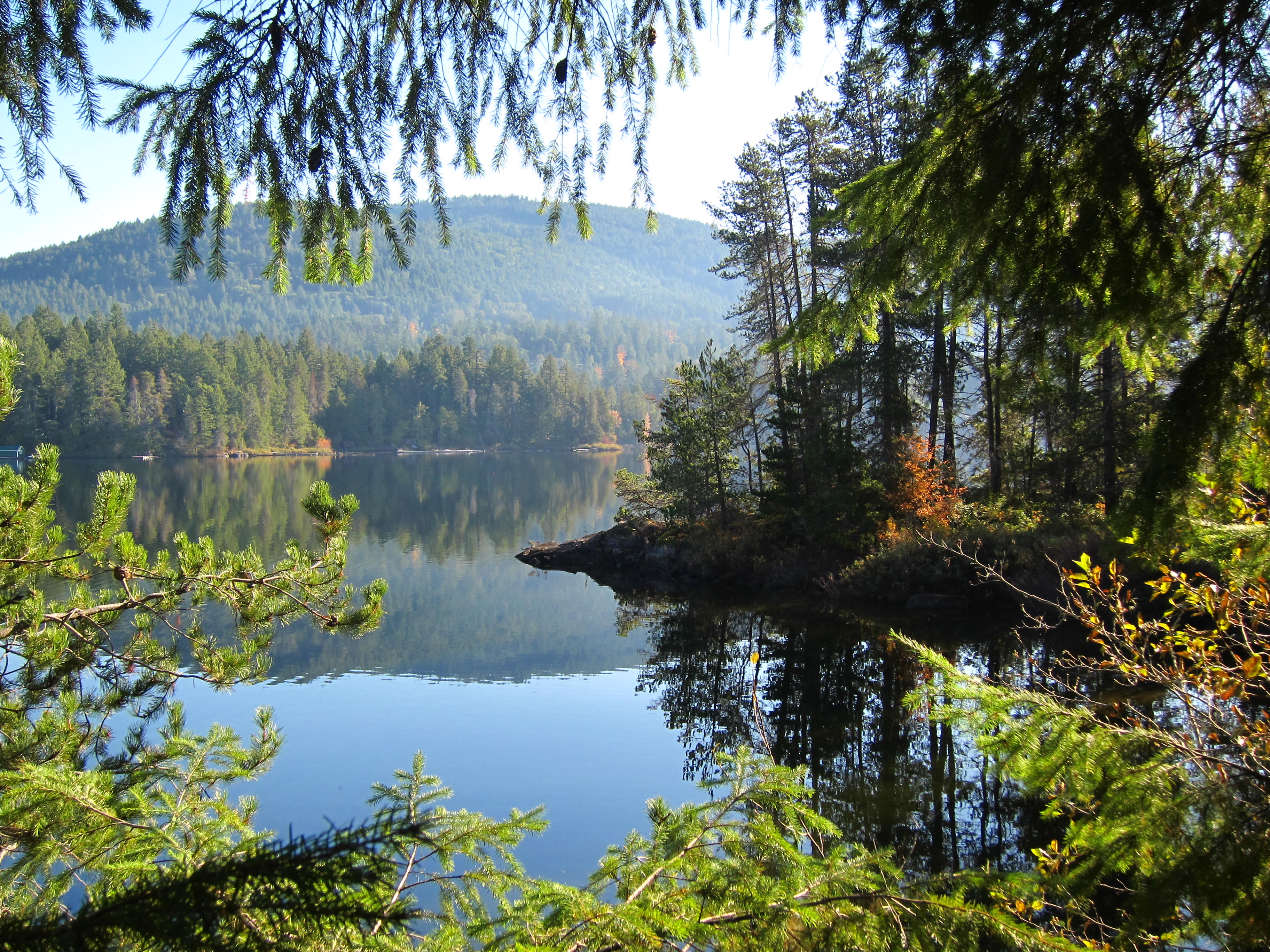
the view from the family cabin

AUTUMN TRAIL

at a window

The view from our cabin

once upon a peaceful afternoon

ALONG THE EDGE

Saanich Inlet
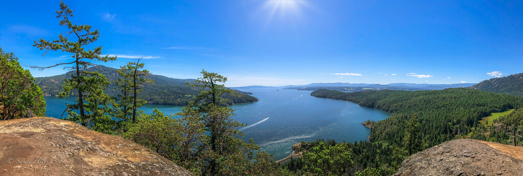
SANSUM NARROWS

Rat Lake Aerial Drone Pic

Another View Of Flowing Water

Skywalk Establishing Shot

Happy Earth Day

Opposite the Twilight Sun

Cobble Hill Mountain

Room with a View

Sunset over Cowichan Bay

The view from our cabin
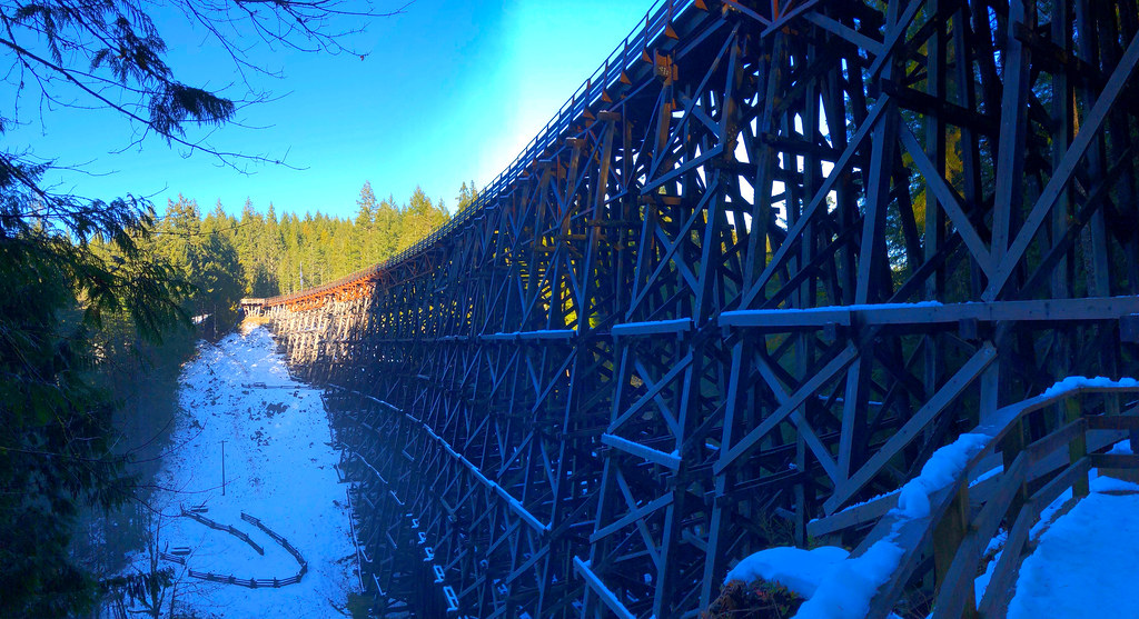
Kinsol Trestle

The view from our cabin series

Drone View Goldstream Heights

MASTS AT IDLE - (Selected by GETTY IMAGES & FLICKR EXPLORE)

Sunlight breaks

A RAY OF SUNSHINE

Mt Baker moonrise

Mist on the lake

Gowlland Tod Provincial Park

GARY OAK SUNSET

Misty farm [Explored]

Malahat dawn

Mill Bay dawn (in explore 13-02-2017)

Fire in the sky

Along the Koksilah River

Buchart Gardens

Cowichan Valley

Cowichan River

Valley Sunset
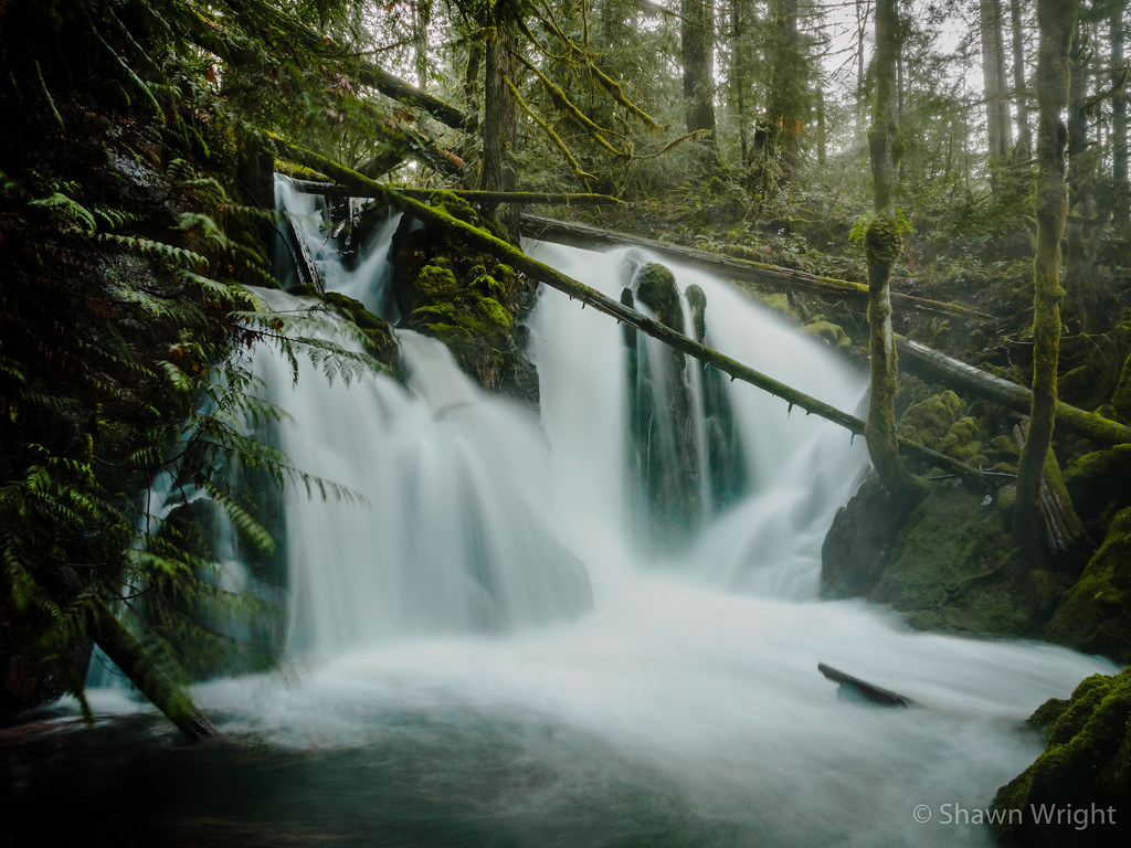
Along the Koksilah River

Fall is coming
Topographic Map of Ingot Rd, Cobble Hill, BC V0R 1L6, Canada
Find elevation by address:

Places near Ingot Rd, Cobble Hill, BC V0R 1L6, Canada:
2122 Wildflower Rd
2866 Meadowview Rd
2234 Ingot Rd
Widows Walk
Shawnigan Lake
Shawnigan Lake Museum
1695 Wilmot Ave
2645 W Shawnigan Lake Rd
2645 W Shawnigan Lake Rd
2645 W Shawnigan Lake Rd
2645 W Shawnigan Lake Rd
2645 W Shawnigan Lake Rd
2645 W Shawnigan Lake Rd
2645 W Shawnigan Lake Rd
3500 Cameron Taggart Rd
2119 Shawnigan Lake Rd
Cobble Hill
2701 Bonnie Pl
2031 Mable Rd
2070 Ida Ave
Recent Searches:
- Elevation of Vista Blvd, Sparks, NV, USA
- Elevation of 15th Ave SE, St. Petersburg, FL, USA
- Elevation of Beall Road, Beall Rd, Florida, USA
- Elevation of Leguwa, Nepal
- Elevation of County Rd, Enterprise, AL, USA
- Elevation of Kolchuginsky District, Vladimir Oblast, Russia
- Elevation of Shustino, Vladimir Oblast, Russia
- Elevation of Lampiasi St, Sarasota, FL, USA
- Elevation of Elwyn Dr, Roanoke Rapids, NC, USA
- Elevation of Congressional Dr, Stevensville, MD, USA