Elevation of Ingleside Rd, Kevil, KY, USA
Location: United States > Kentucky > Ballard County > Kevil >
Longitude: -88.896553
Latitude: 37.1347091
Elevation: 118m / 387feet
Barometric Pressure: 100KPa
Elevation Map:
Satellite Map:
Related Photos:
I ain't seen the sunshine since I don't know when
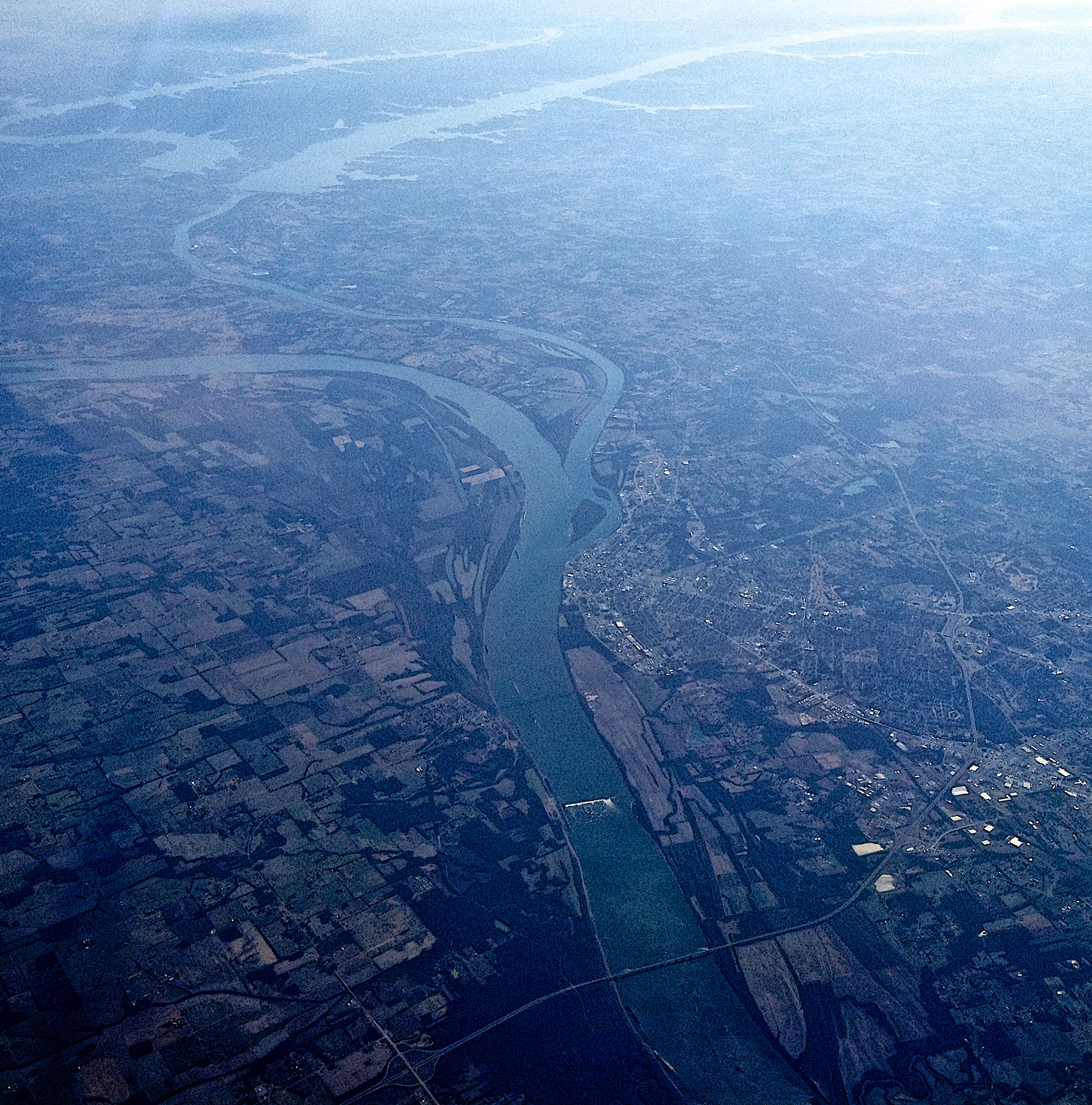
from 37,000 feet

Scenic view

The Man of Steel

You can hear #uncletupelo on the wind... #potter5roadtrip

Mermet Lake

Marsh Spring

Mermet Reserve

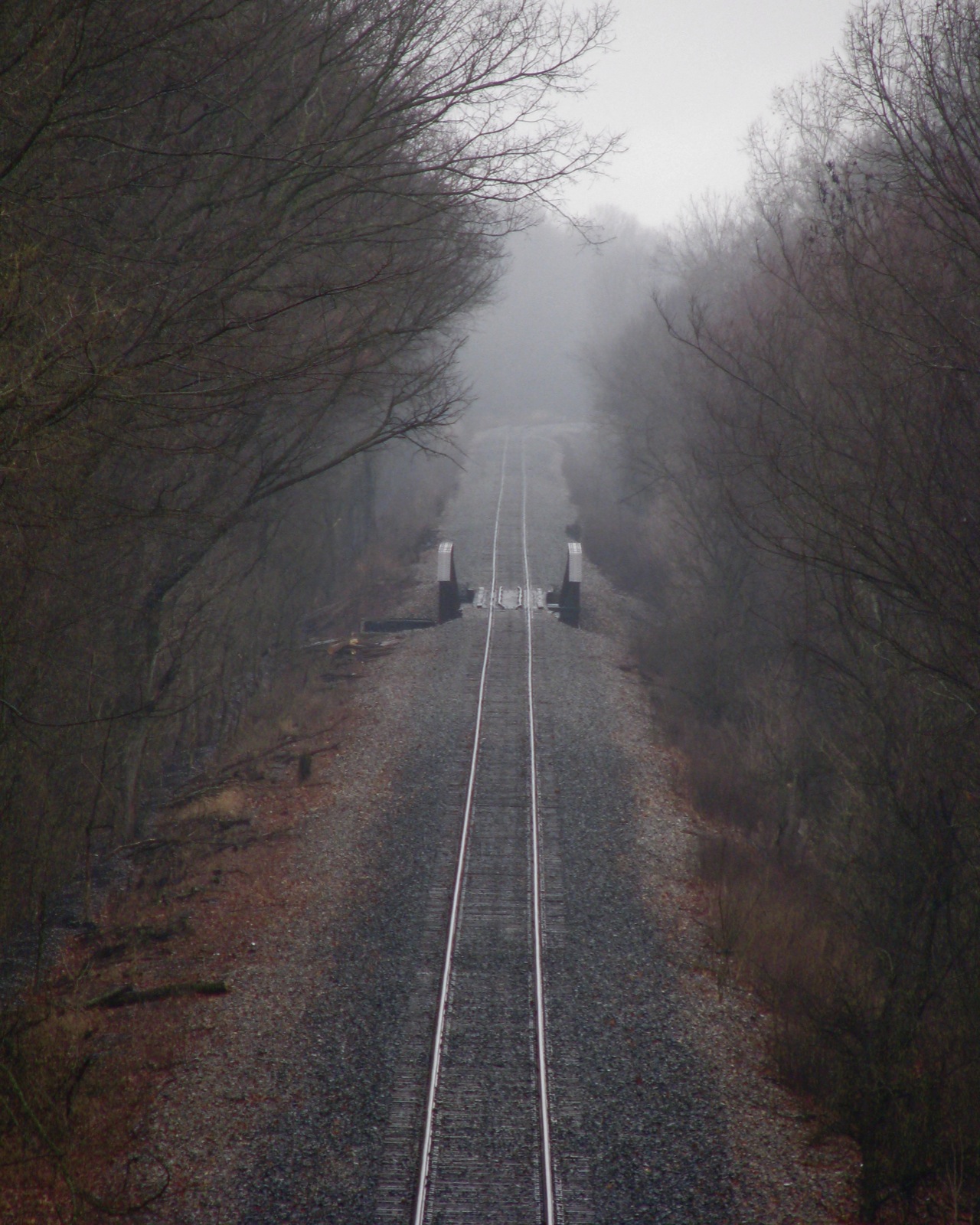
Burning Bridge 1

Ohio River at Metropolis

October Rush

Ohio River at Metropolis
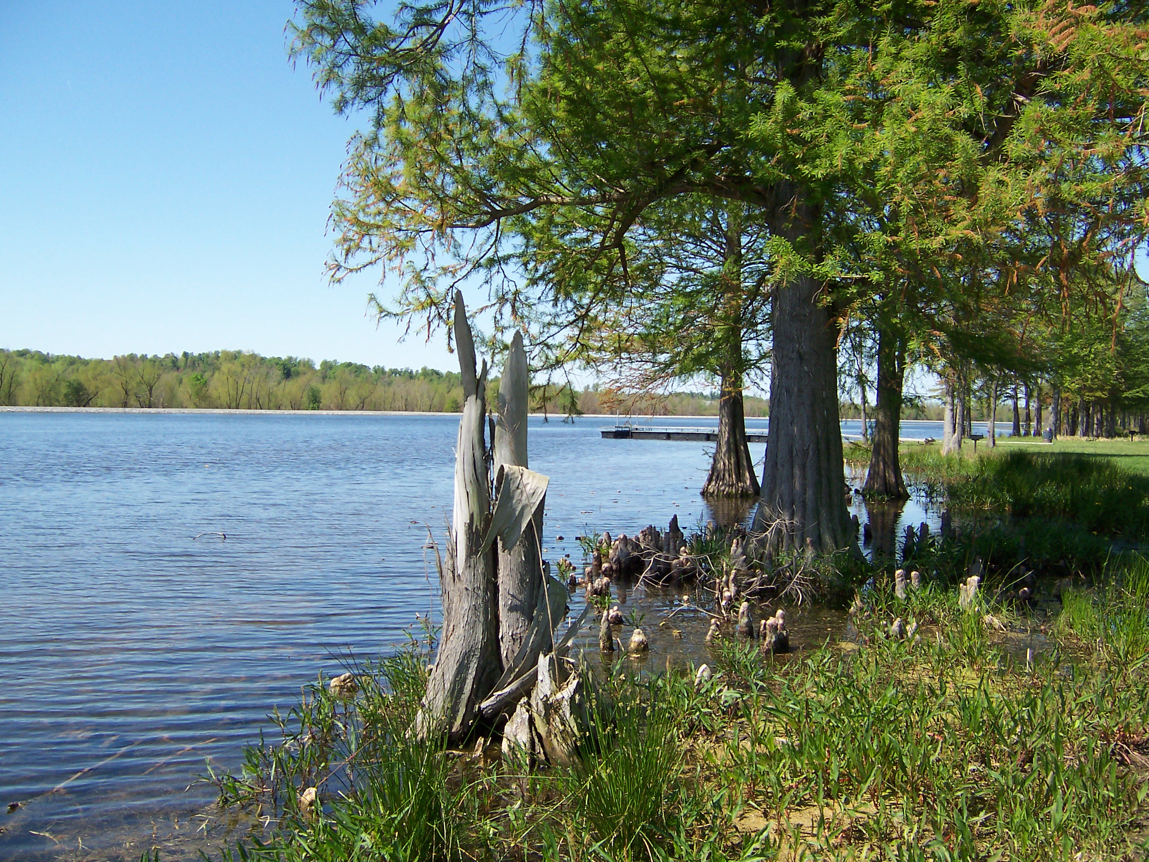
Mermet Lake

Lucerne Moth Nomophila nearctica (Hodges#5156) ky_0816

Ohio River
Topographic Map of Ingleside Rd, Kevil, KY, USA
Find elevation by address:

Places near Ingleside Rd, Kevil, KY, USA:
7410 Crawford Lake Rd
Grand Chain Rd, Grand Chain, IL, USA
Hillerman Precinct
7900 Metropolis Lake Rd
Ogden Landing Rd, West Paducah, KY, USA
7900 Metropolis Lake Rd
4105 Macedonia Church Rd
Mayfield Metropolis Rd, West Paducah, KY, USA
3675 George May Ln
Grant
70 Jon St
Metropolis
210 W 9th St
110 W 9th St
920 Metropolis St
516 E 6th St
122 Carter Dr
712 Scott St
307 Massac Creek Rd
Massac County
Recent Searches:
- Elevation of Corso Fratelli Cairoli, 35, Macerata MC, Italy
- Elevation of Tallevast Rd, Sarasota, FL, USA
- Elevation of 4th St E, Sonoma, CA, USA
- Elevation of Black Hollow Rd, Pennsdale, PA, USA
- Elevation of Oakland Ave, Williamsport, PA, USA
- Elevation of Pedrógão Grande, Portugal
- Elevation of Klee Dr, Martinsburg, WV, USA
- Elevation of Via Roma, Pieranica CR, Italy
- Elevation of Tavkvetili Mountain, Georgia
- Elevation of Hartfords Bluff Cir, Mt Pleasant, SC, USA