Elevation of Ingersoll Rd SW, Fife Lake, MI, USA
Location: United States > Michigan > Kalkaska County > Springfield Township >
Longitude: -85.332481
Latitude: 44.569739
Elevation: 317m / 1040feet
Barometric Pressure: 98KPa
Elevation Map:
Satellite Map:
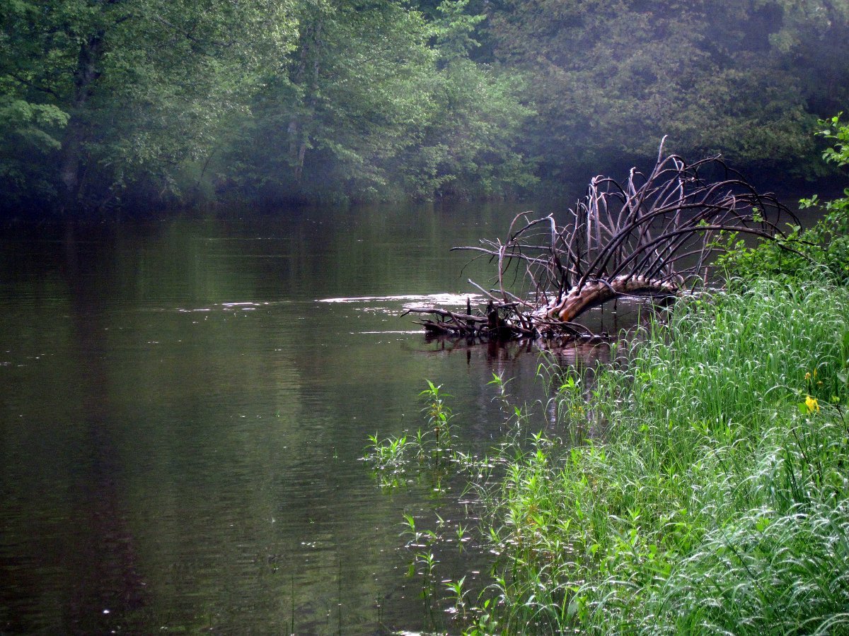
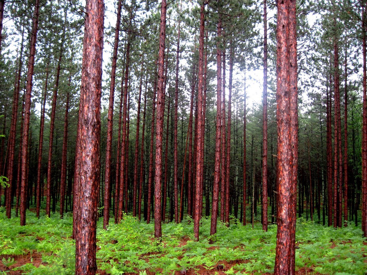
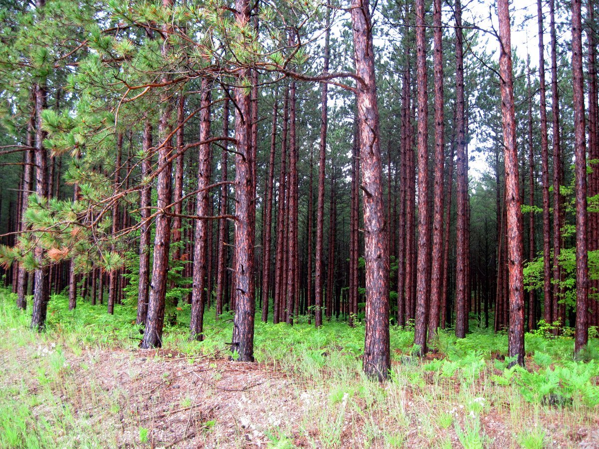
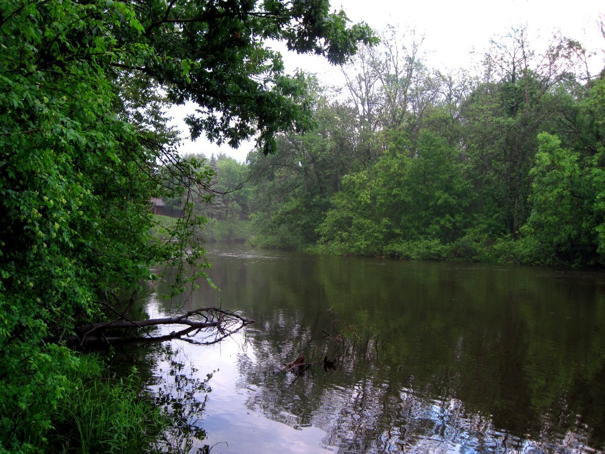
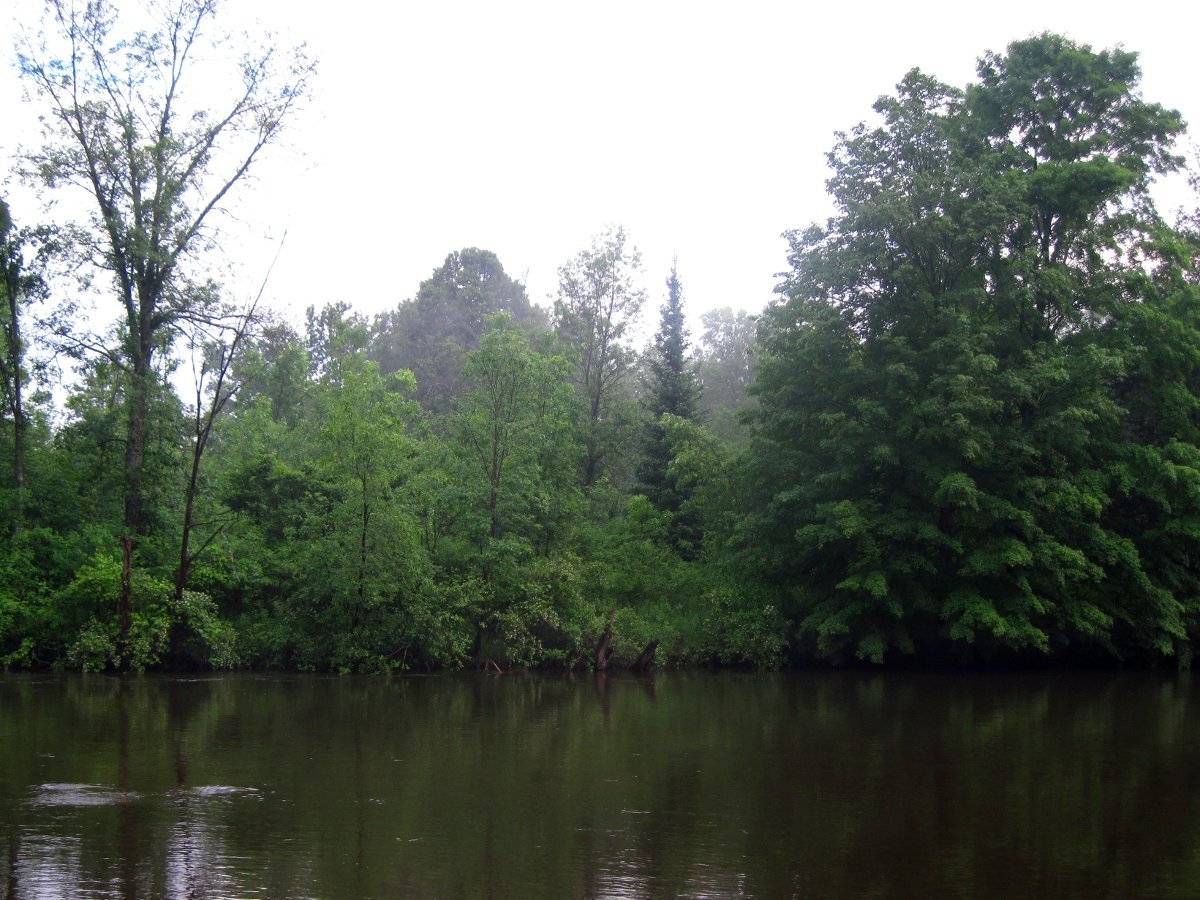
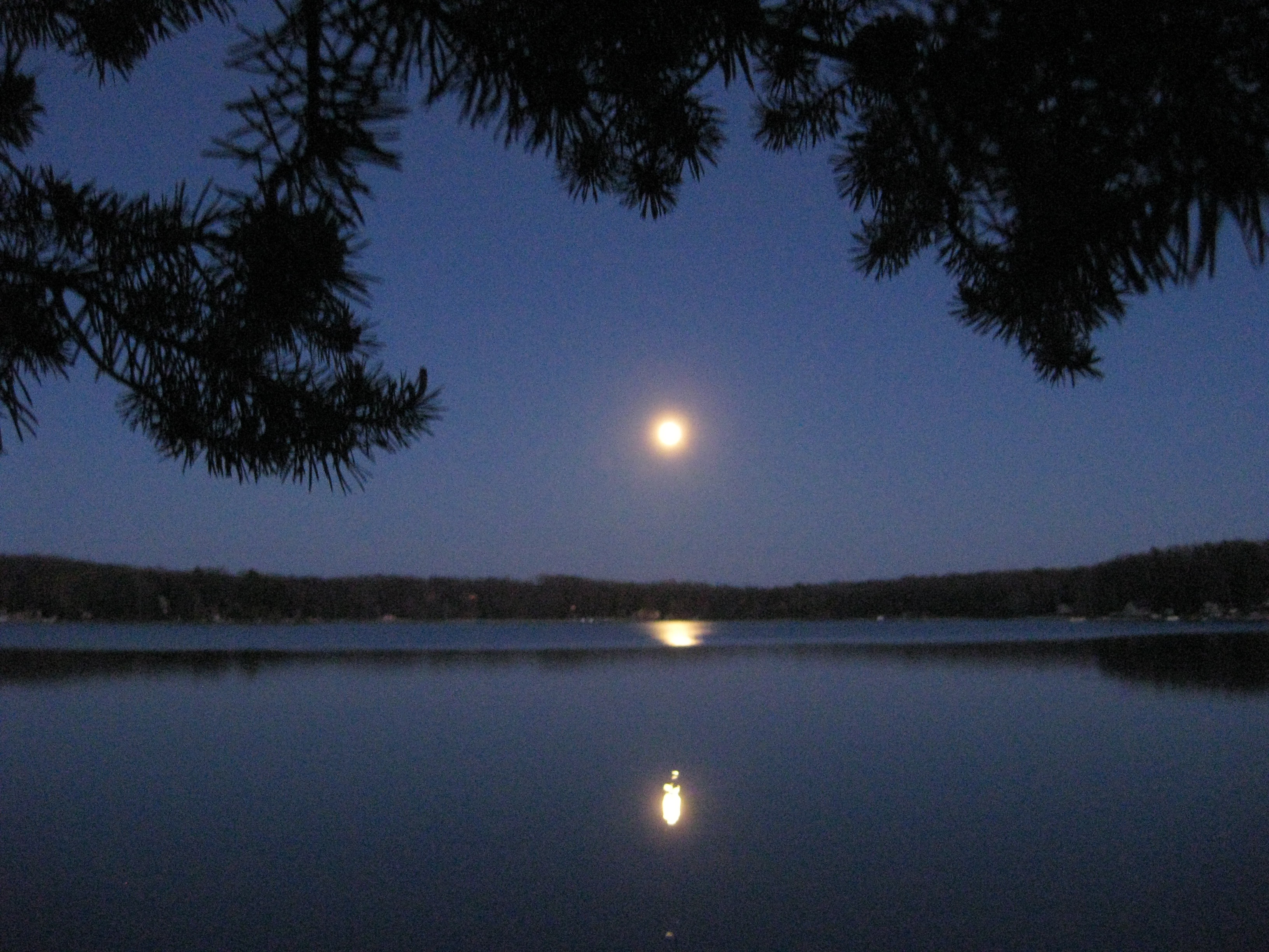
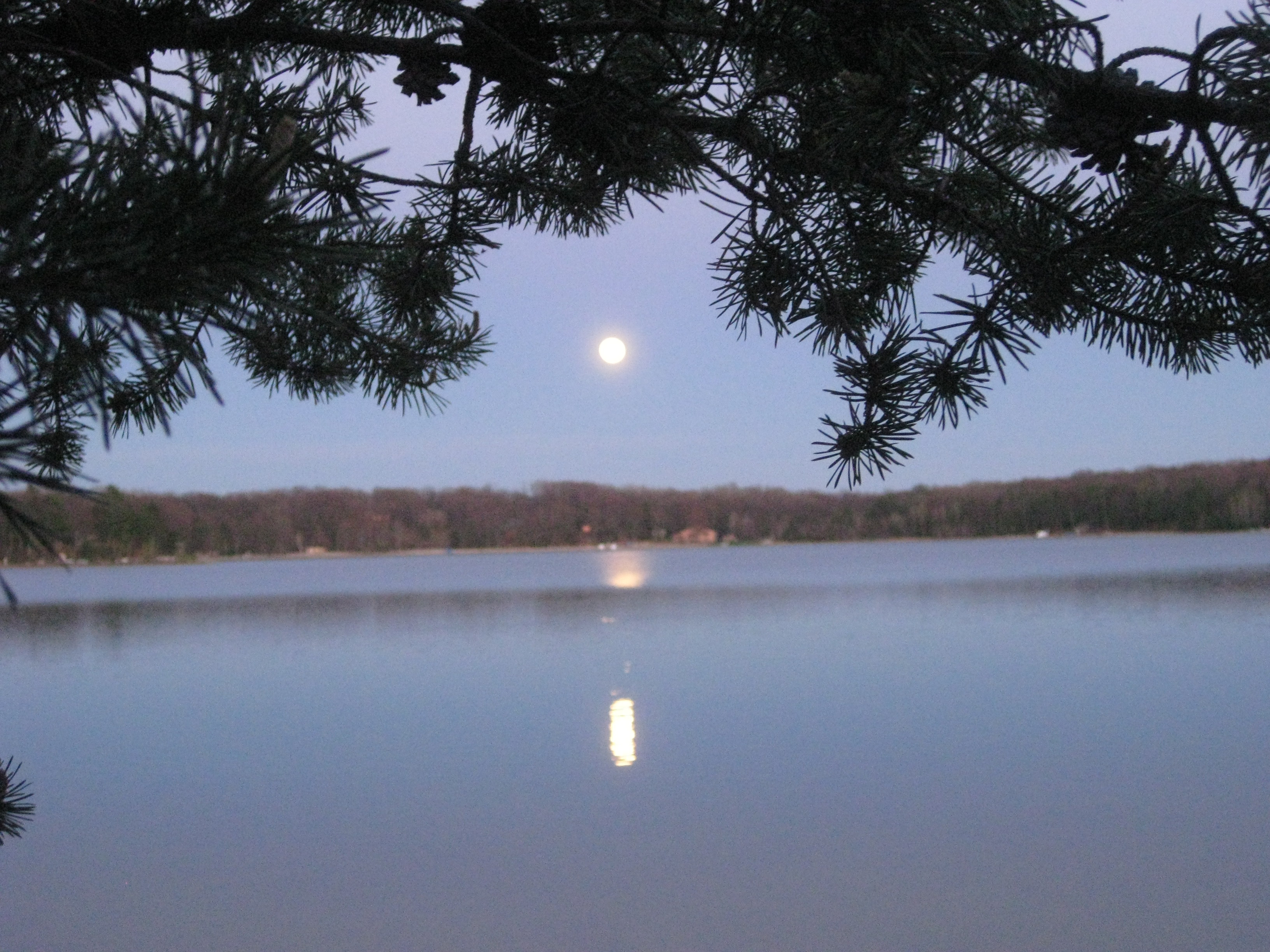
Related Photos:
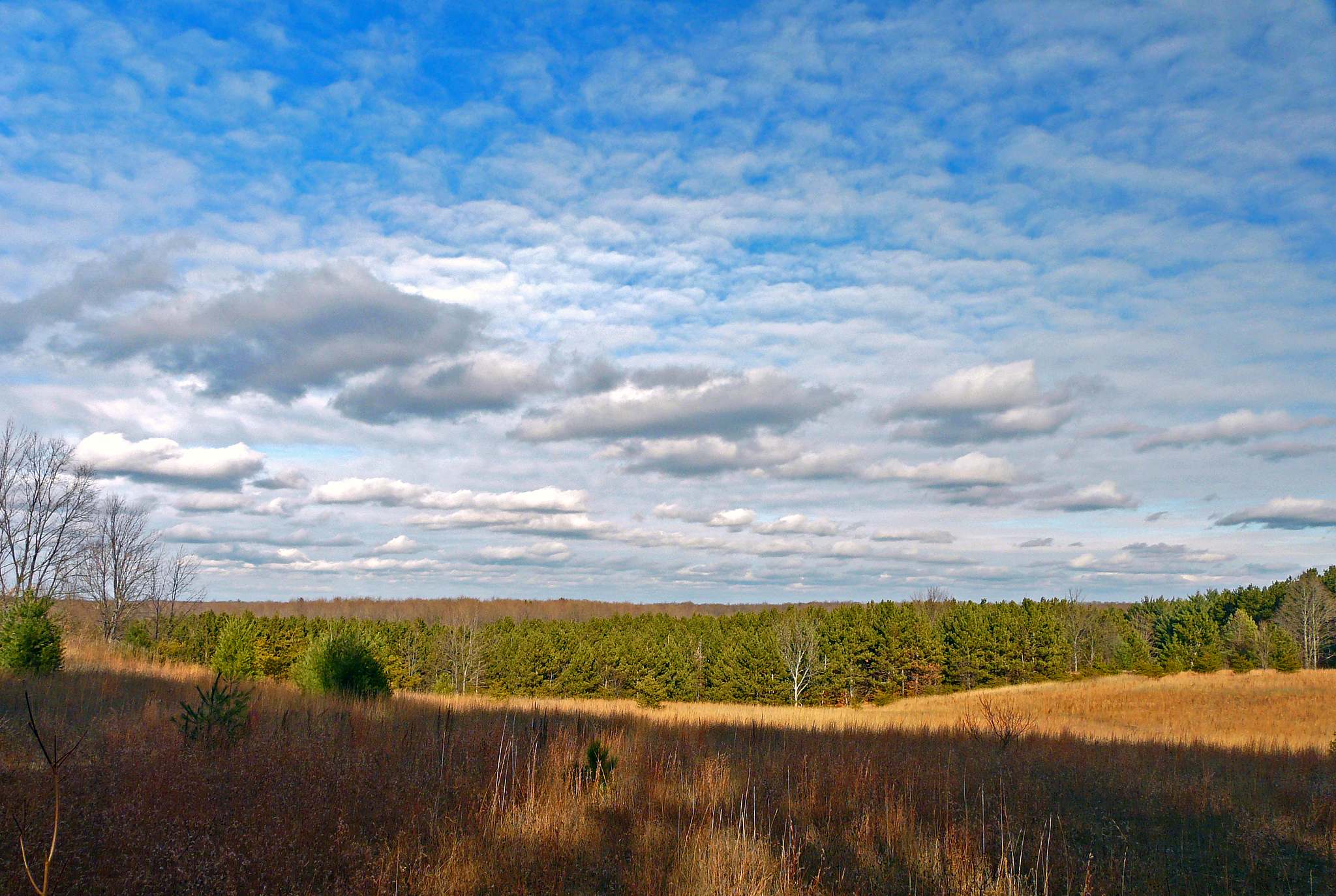
View at the Halladay-Blackhurst-Chowning (HBC) Nature Preserve
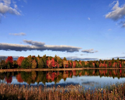
Autumn in Michigan

20141005-0001-5
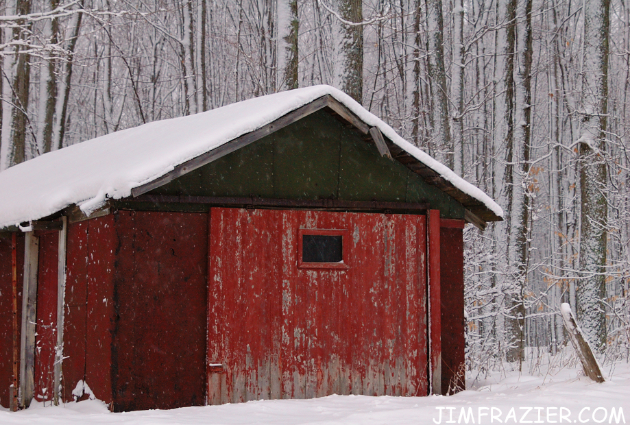
Red Cabin in Snow
2002-2006-13

Brown Leaves and Snow

Brown Leaves and Snow
img001973.JPG
img002003.JPG

img001975.JPG
img002005.JPG

img001978.JPG
img001972.JPG
img001974.JPG
img002004.JPG

img002011.JPG
img002006.JPG
2002-2006-14
img001971.JPG
IMG_1664.JPG
IMG_1654.JPG

foxRaven-1921
Topographic Map of Ingersoll Rd SW, Fife Lake, MI, USA
Find elevation by address:

Places near Ingersoll Rd SW, Fife Lake, MI, USA:
Fife Lake
Springfield Township
South Boardman
Ingersoll Lake
Boardman Township
Tree Ln SW, South Boardman, MI, USA
Rennie View, Traverse City, MI, USA
Manton
M-66, Kalkaska, MI, USA
Donathan Road
Crouch Road Southeast
Whitewater Township
Forest Lakes
Kalkaska Township
3878 Forest Lakes Dr
Arbutus Lake
7692 Crisp Rd
East Bay Township
Williamsburg
2299 Salon Rd
Recent Searches:
- Elevation of Foligno, Province of Perugia, Italy
- Elevation of Blauwestad, Netherlands
- Elevation of Bella Terra Blvd, Estero, FL, USA
- Elevation of Estates Loop, Priest River, ID, USA
- Elevation of Woodland Oak Pl, Thousand Oaks, CA, USA
- Elevation of Brownsdale Rd, Renfrew, PA, USA
- Elevation of Corcoran Ln, Suffolk, VA, USA
- Elevation of Mamala II, Sariaya, Quezon, Philippines
- Elevation of Sarangdanda, Nepal
- Elevation of 7 Waterfall Way, Tomball, TX, USA