Elevation of Indian Lakes Rd, Fallon, NV, USA
Location: United States > Nevada > Fallon >
Longitude: -118.66568
Latitude: 39.5936647
Elevation: 1192m / 3911feet
Barometric Pressure: 88KPa
Elevation Map:
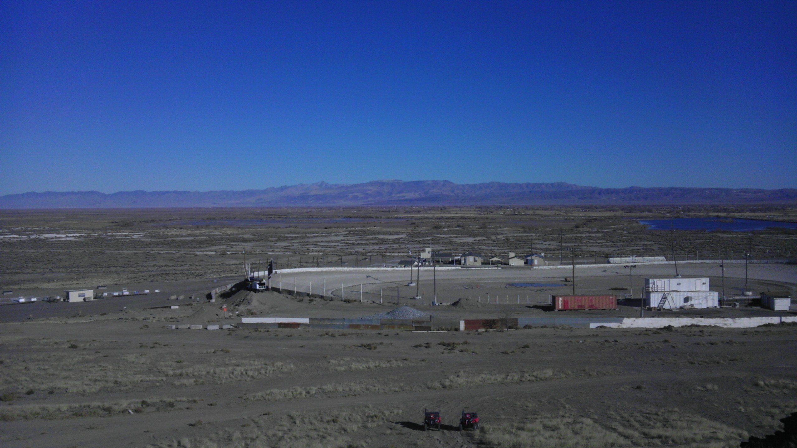
Satellite Map:
Related Photos:
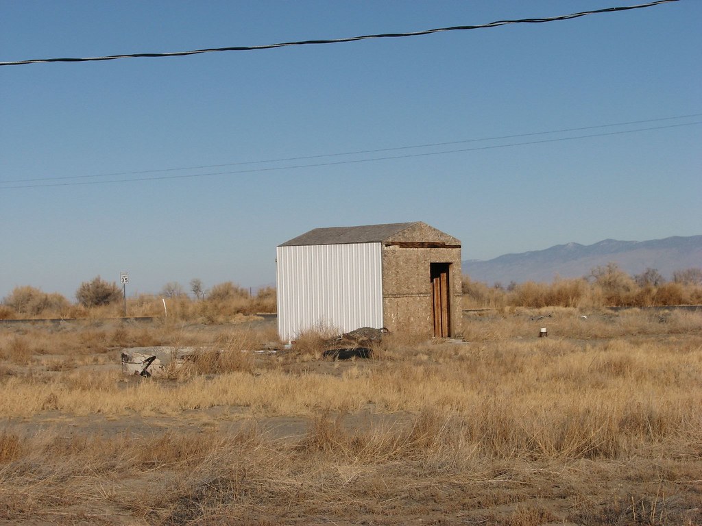
back view
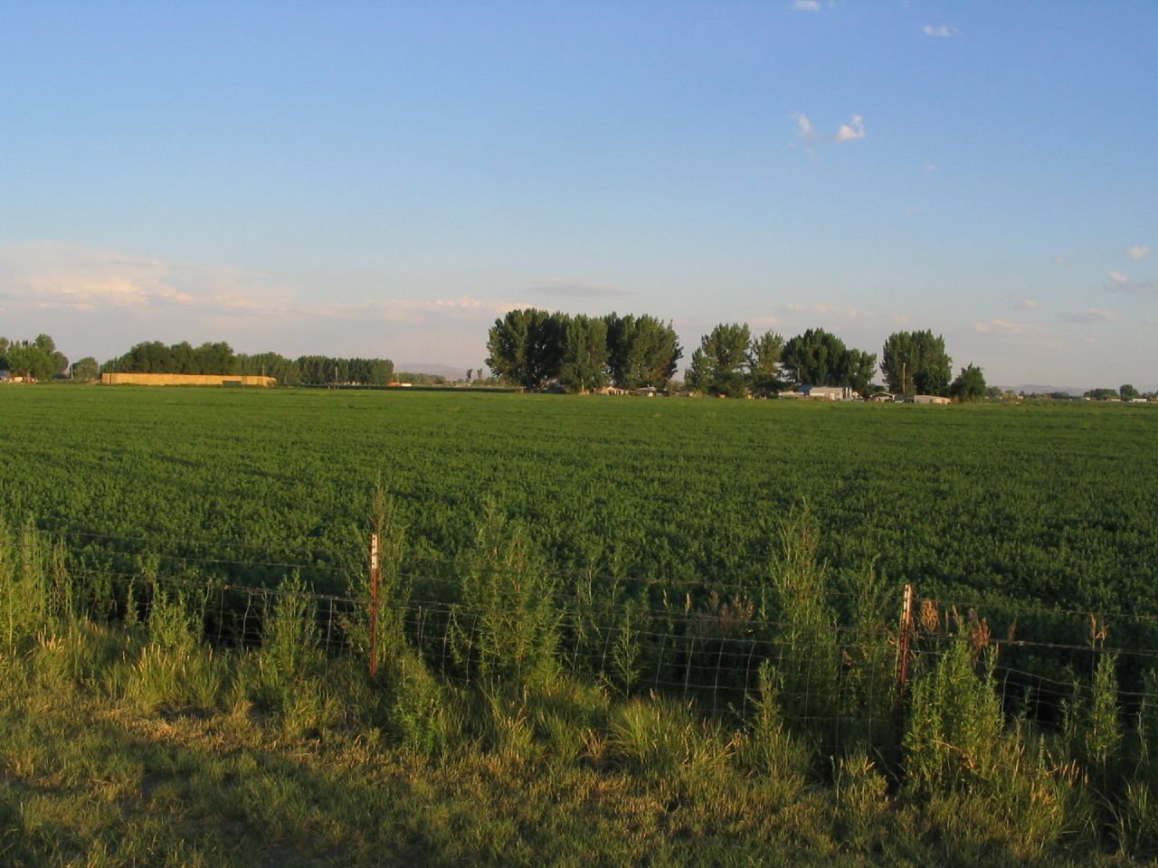
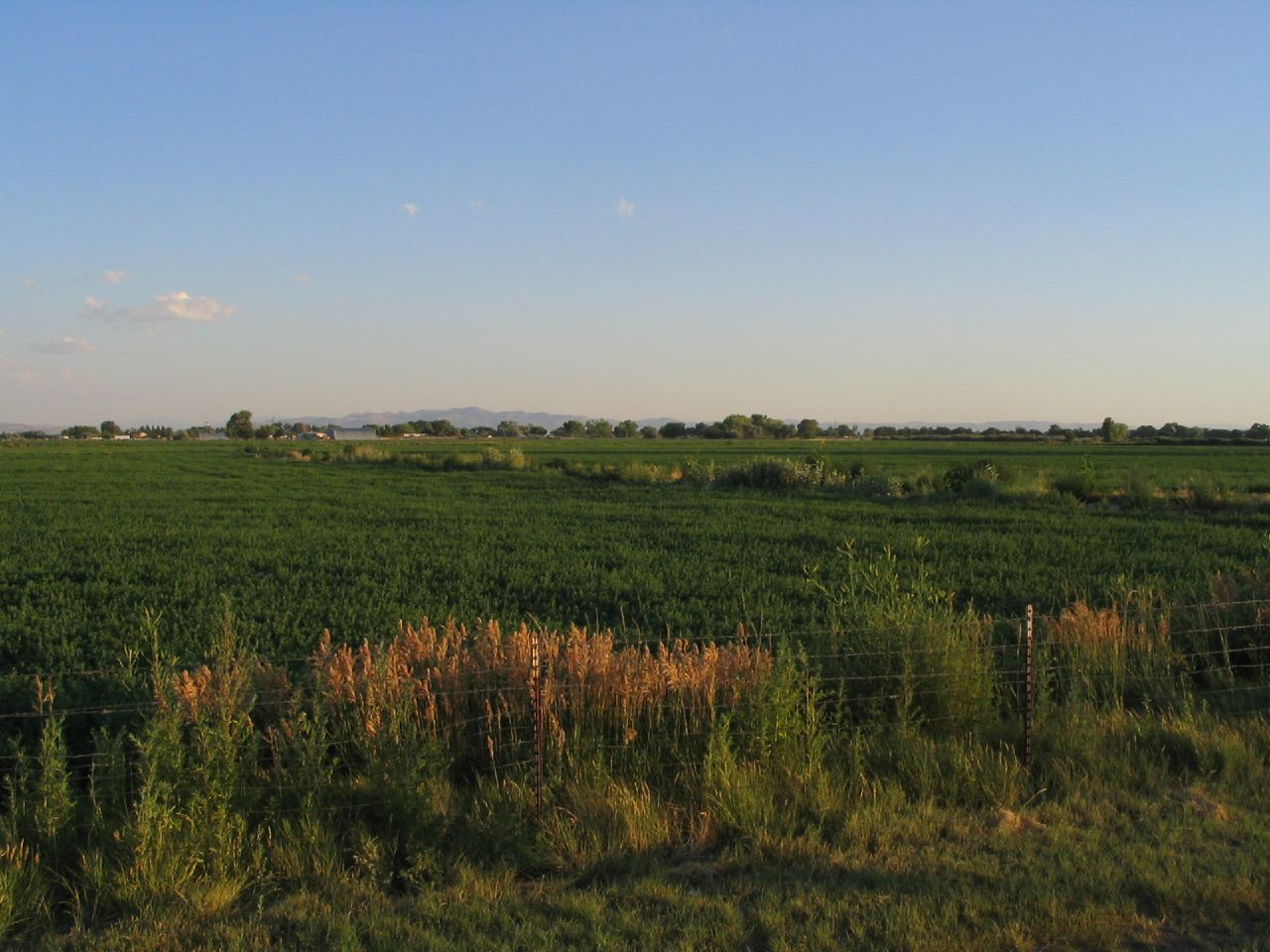
View in Fallon, NV

Evening Clouds

Snow on the Stillwaters
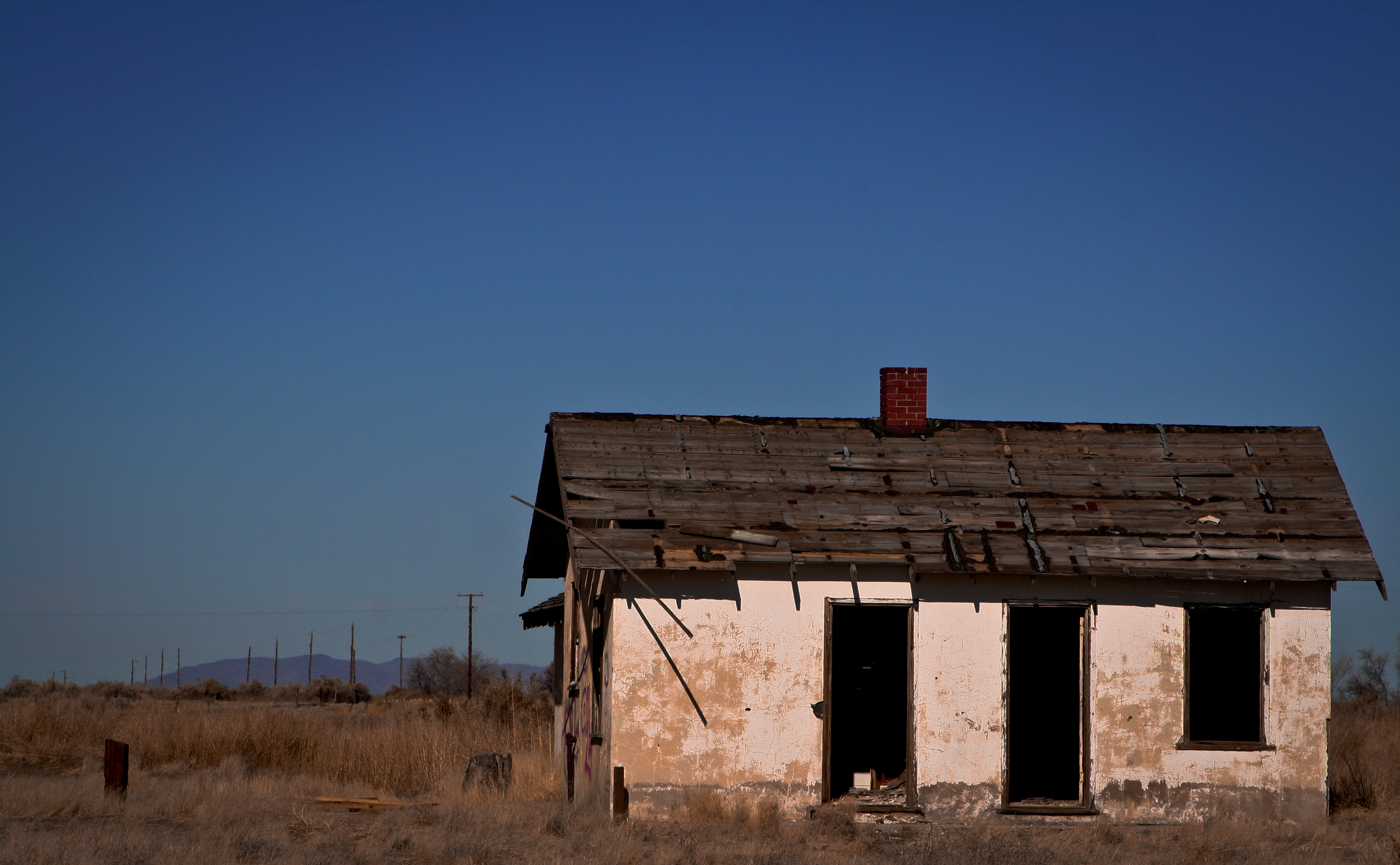
left unfinished

Snow on the Stillwaters
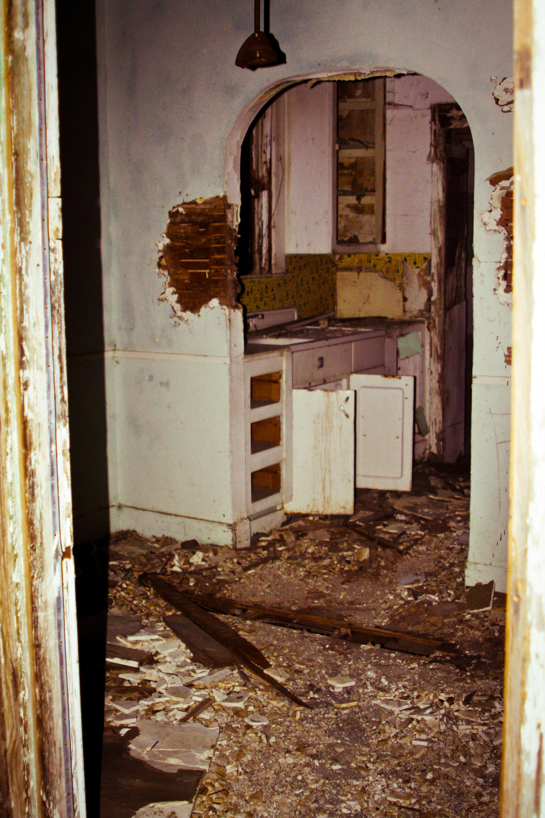
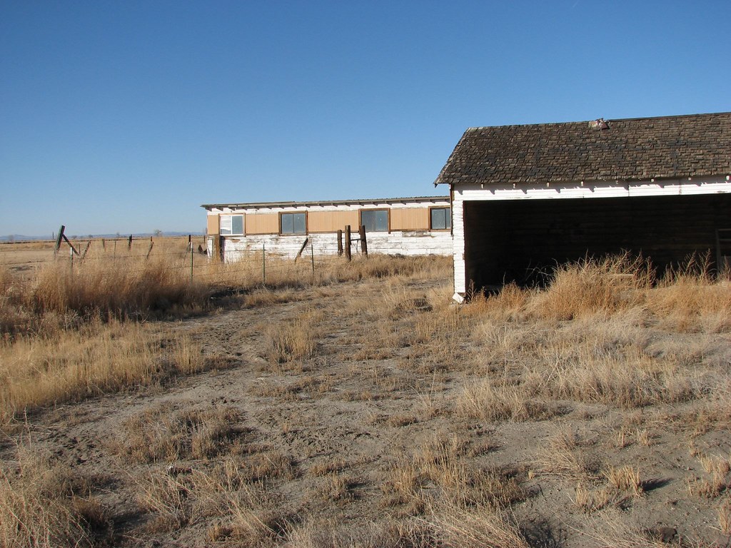
Ruins 8

Winter Clouds
U.S. Route 50 Near Fallon, Nevada
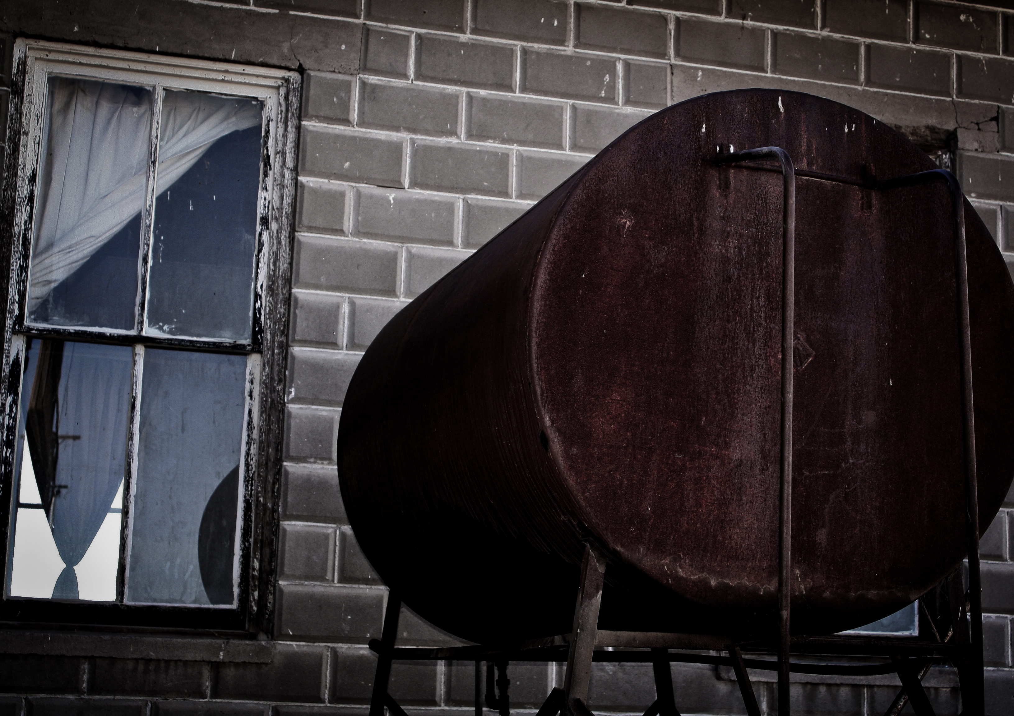
Ruins 5

Ruins 3
Ruins 2
U.S. Route 50 Near Fallon, Nevada

Ruins 4

Mountain Sunset
Topographic Map of Indian Lakes Rd, Fallon, NV, USA
Find elevation by address:

Places near Indian Lakes Rd, Fallon, NV, USA:
4805 Kirn Rd
2500 Indian Lakes Rd
640 N Downs Ln
5900 Stillwater Rd
3175 Austin Hwy
3175 Austin Hwy
3175 Austin Hwy
3175 Austin Hwy
3175 Austin Hwy
Freeman Ln, Fallon, NV, USA
2134 Stark Ln
Carson River Drive
271 Carson River Dr
1250 Golden Park Way
1234 Golden Park Way
1175 Golden Park Way
1330 Golden Park Way
475 Sunrise Terrace
Fox Peak Cinema
850 Hunter Park Way
Recent Searches:
- Elevation of Elwyn Dr, Roanoke Rapids, NC, USA
- Elevation of Congressional Dr, Stevensville, MD, USA
- Elevation of Bellview Rd, McLean, VA, USA
- Elevation of Stage Island Rd, Chatham, MA, USA
- Elevation of Shibuya Scramble Crossing, 21 Udagawacho, Shibuya City, Tokyo -, Japan
- Elevation of Jadagoniai, Kaunas District Municipality, Lithuania
- Elevation of Pagonija rock, Kranto 7-oji g. 8"N, Kaunas, Lithuania
- Elevation of Co Rd 87, Jamestown, CO, USA
- Elevation of Tenjo, Cundinamarca, Colombia
- Elevation of Côte-des-Neiges, Montreal, QC H4A 3J6, Canada