Elevation map of In Amenas, Algeria
Longitude: 9.576449
Latitude: 28.038478
Elevation: 554m / 1818feet
Barometric Pressure: 95KPa
Elevation Map:
Satellite Map:
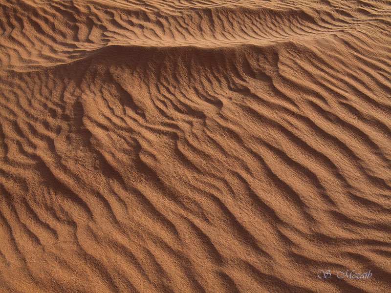
Related Photos:

IMG_0581

IMG_0715
IMG_0723

IMG_0741

IMG_0722

IMG_0784

IMG_0721

IMG_0717

IMG_0716

IMG_0736

IMG_0790

IMG_0726

IMG_0718

IMG_0727
Topographic Map of In Amenas, Algeria
Find elevation by address:

Recent Searches:
- Elevation of Suffield, AB T0J 2N0, Canada
- Elevation of Coan West, Coon West, Co. Kilkenny, Ireland
- Elevation of 8 Rue Raoul Dufy, Collioure, France
- Elevation of 6 Muir St, Medowie NSW, Australia
- Elevation of Woodland Road, Woodland Rd, Lee, MA, USA
- Elevation of Turner Mill Rd, Talladega, AL, USA
- Elevation of Wylie Ridge Rd, New Cumberland, WV, USA
- Elevation of Dogwood Ln, Millsboro, DE, USA
- Elevation of Paseo Lucido, San Diego, CA, USA
- Elevation of W S, Orem, UT, USA