Elevation of IN-60, Borden, IN, USA
Location: United States > Indiana > Clark County > Wood Township > Borden >
Longitude: -85.910304
Latitude: 38.448461
Elevation: 191m / 627feet
Barometric Pressure: 99KPa
Elevation Map:
Satellite Map:
Related Photos:

My view right now, my son, Joseph Patrick.
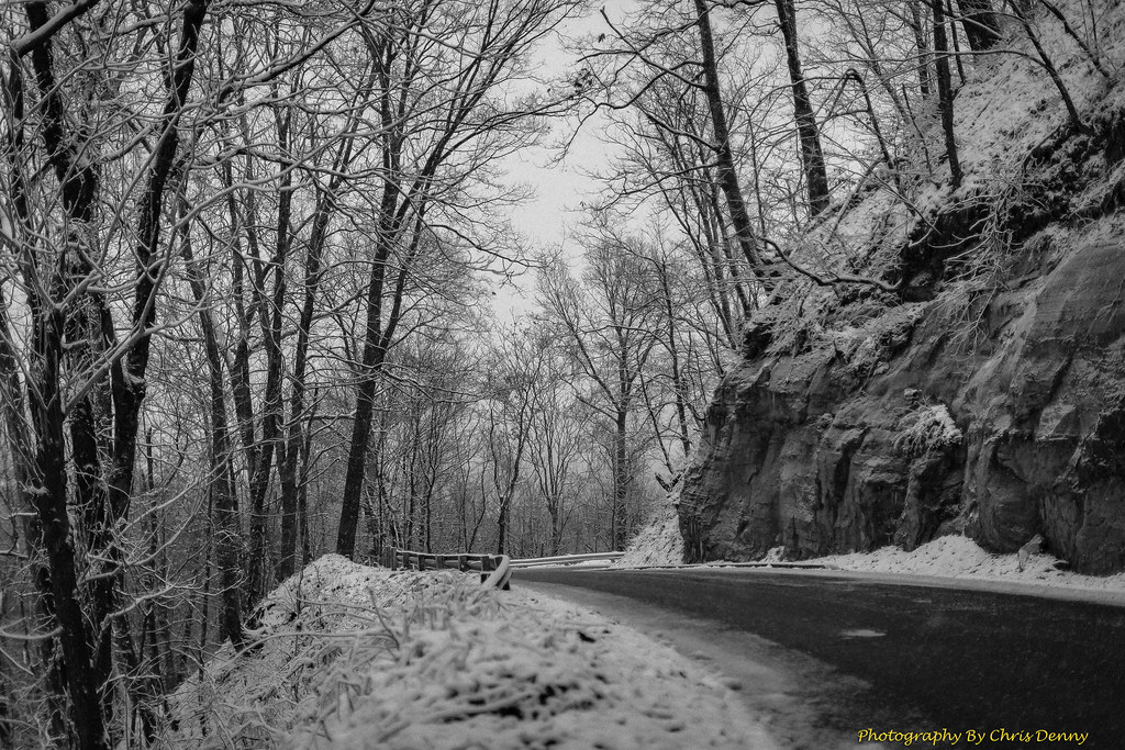
Monochrome Snow

What's in my Bag 2013
Floyd Knobs, Indiana
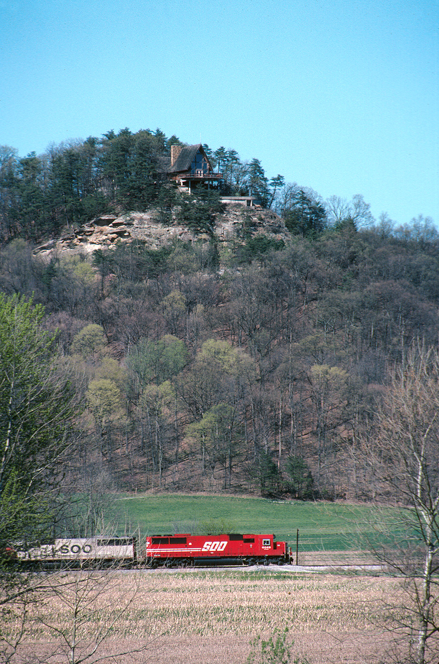
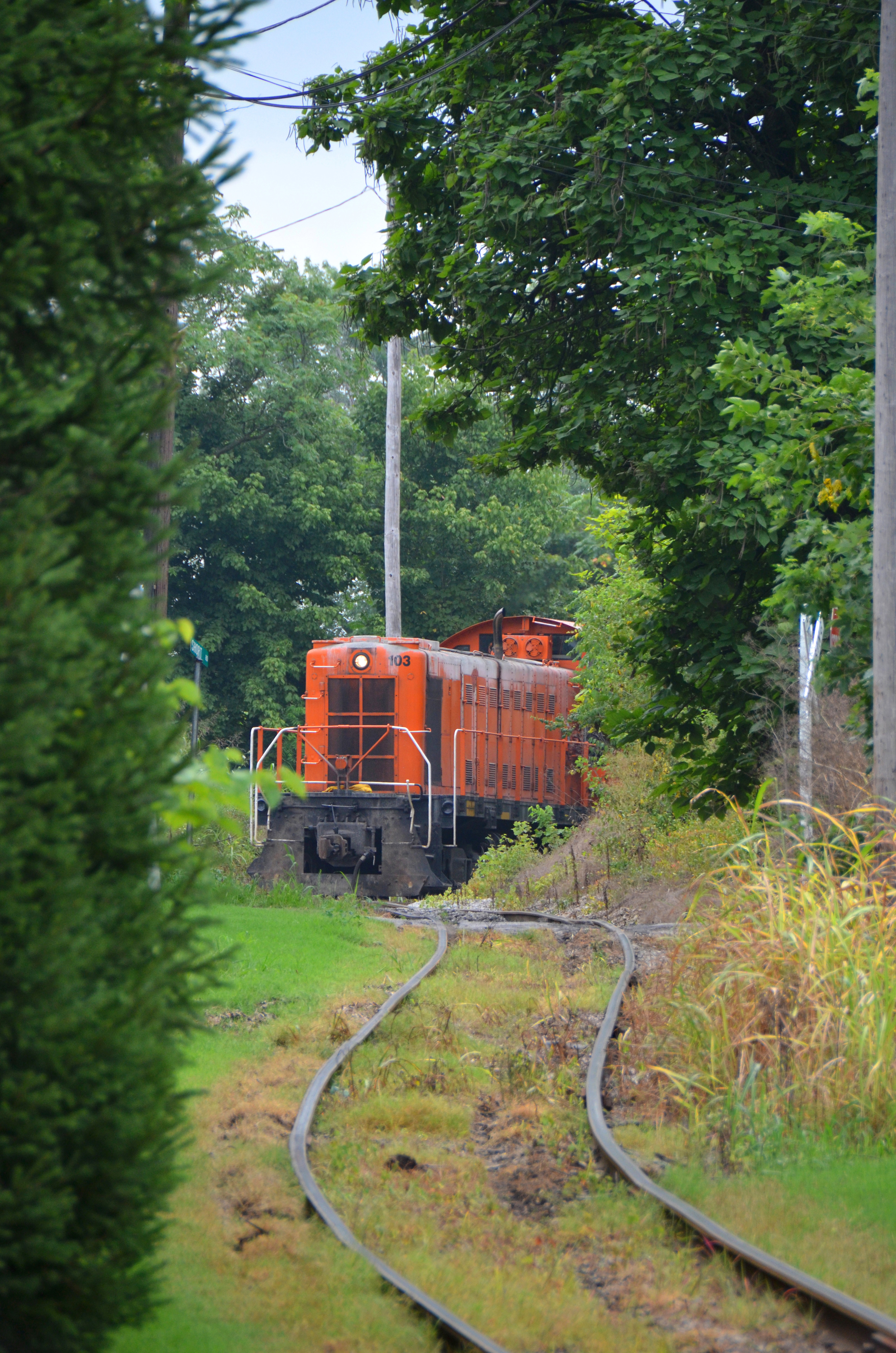
Southbound 240 south of Borden

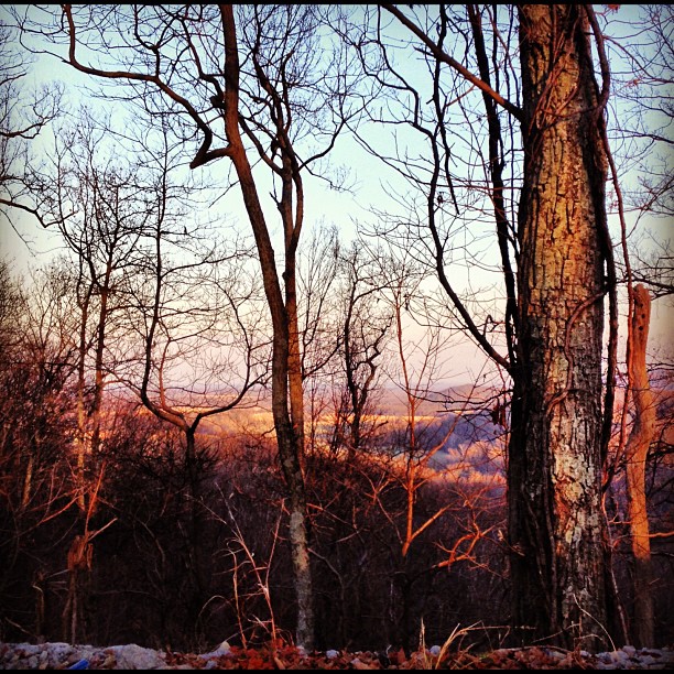
View from the Fire Tower
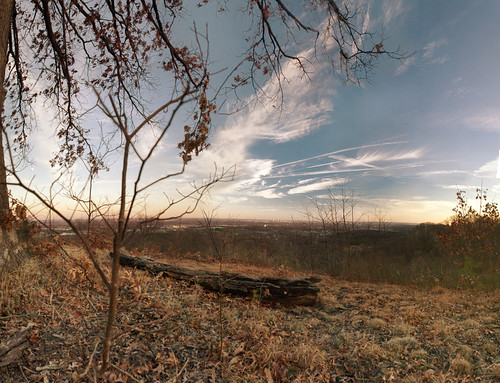
What a View
There She Is!

Floyd Knobs, Indiana

DSC-HX1 Panorama

Overhead view of Salem, Indiana, with Indiana State Road 135 (center, bottom to top) and State Road 60 (middle left to bottom right) as well as Salem Municipal Airport and Salem Speedway (near left middle)
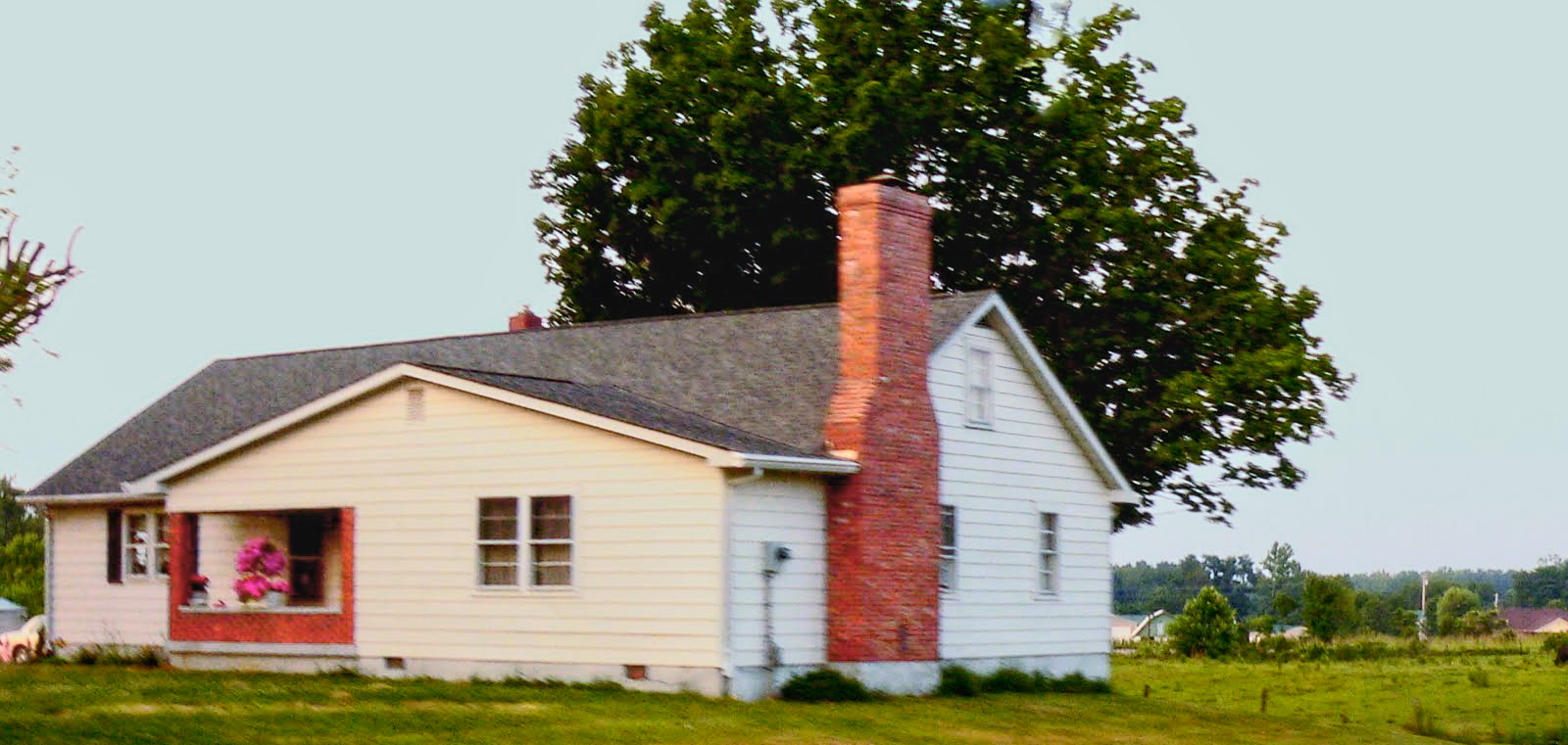
wood township gable front and wing house

Great day for golf! #latergram @CoveredBridgeGC

Morning fog

Deam Lake State Recreation Area, IN

Thunderstorm Sunset
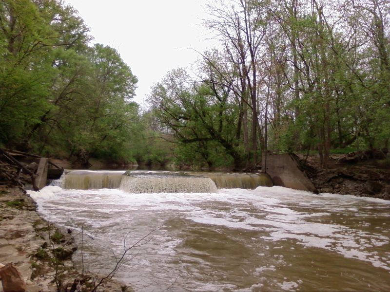
Silver Creek(vi0l)

20160704 165347 1SL6
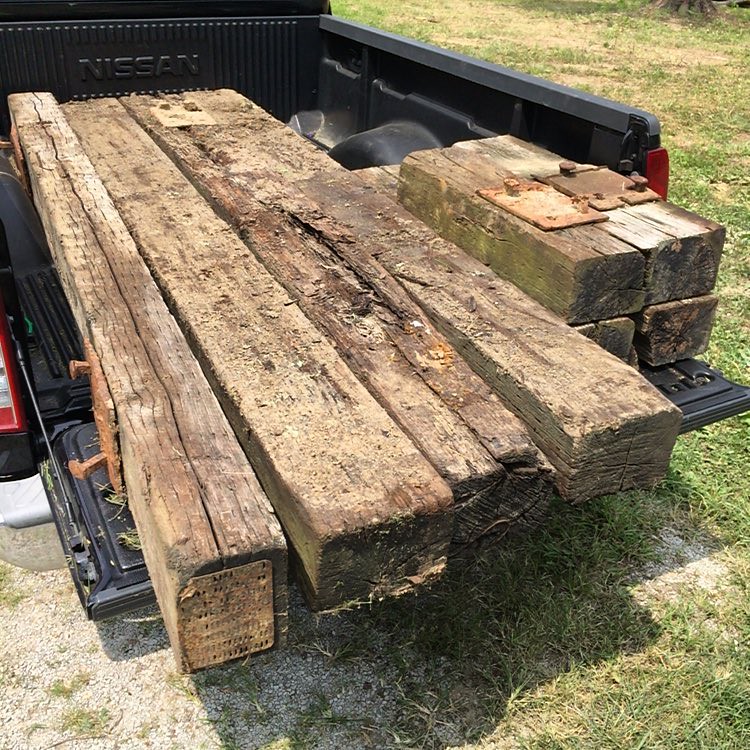
Got some old railroad ties. Any ideas for landscaping? #railroadties #landscaping

20131006_191703_Riley Rd_Richtone(HDR)

The quiet

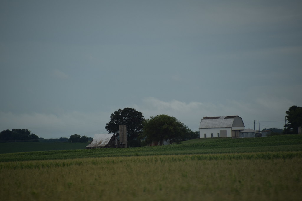
golden barn
Undisturbed.
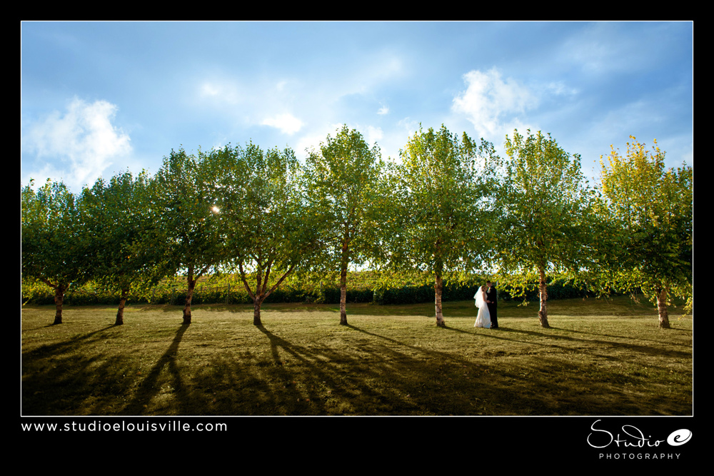
Photographers-in-Louisville-ky-138
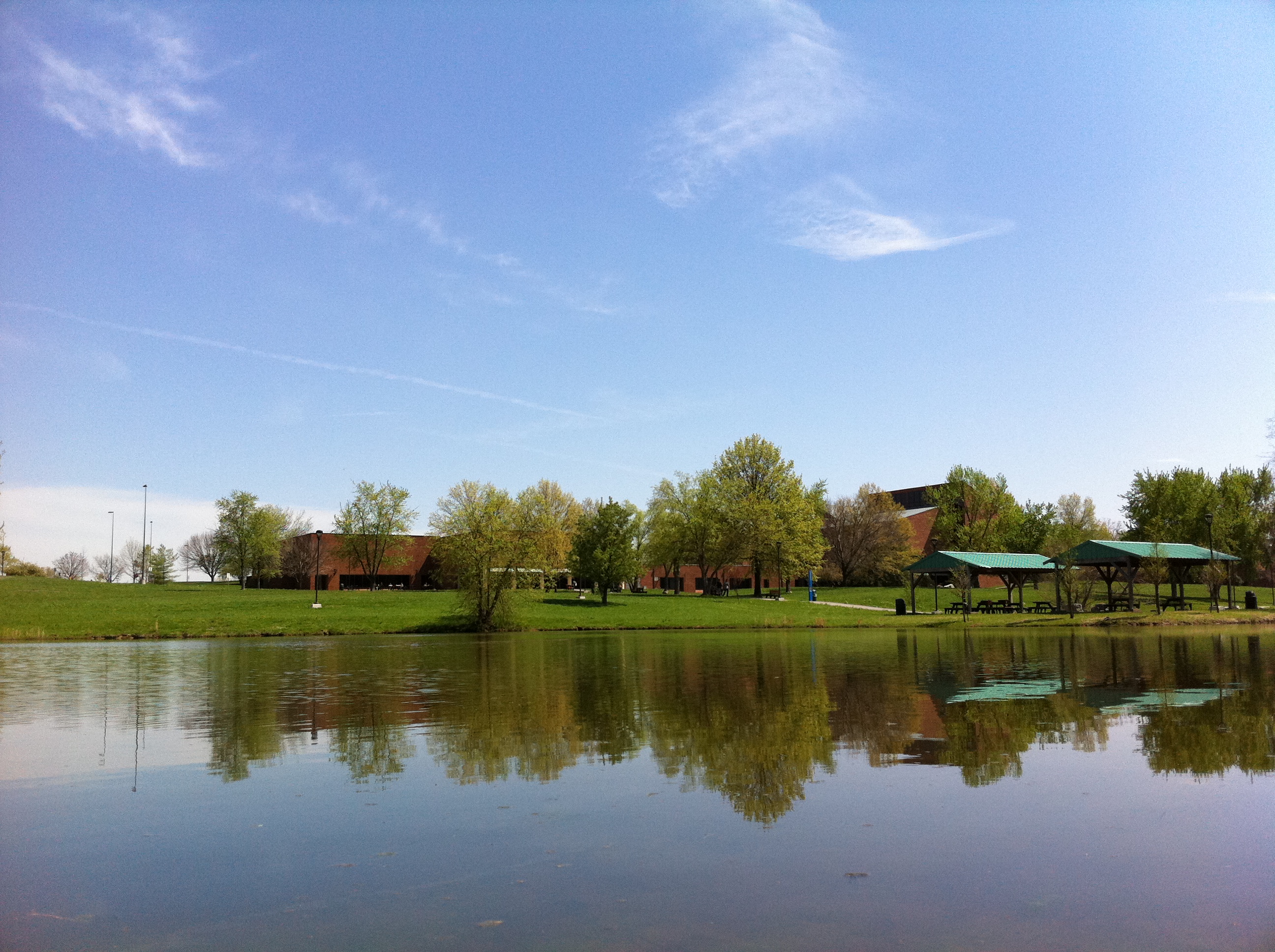
Campus Buildings in Spring
20160704 154925 1SL6
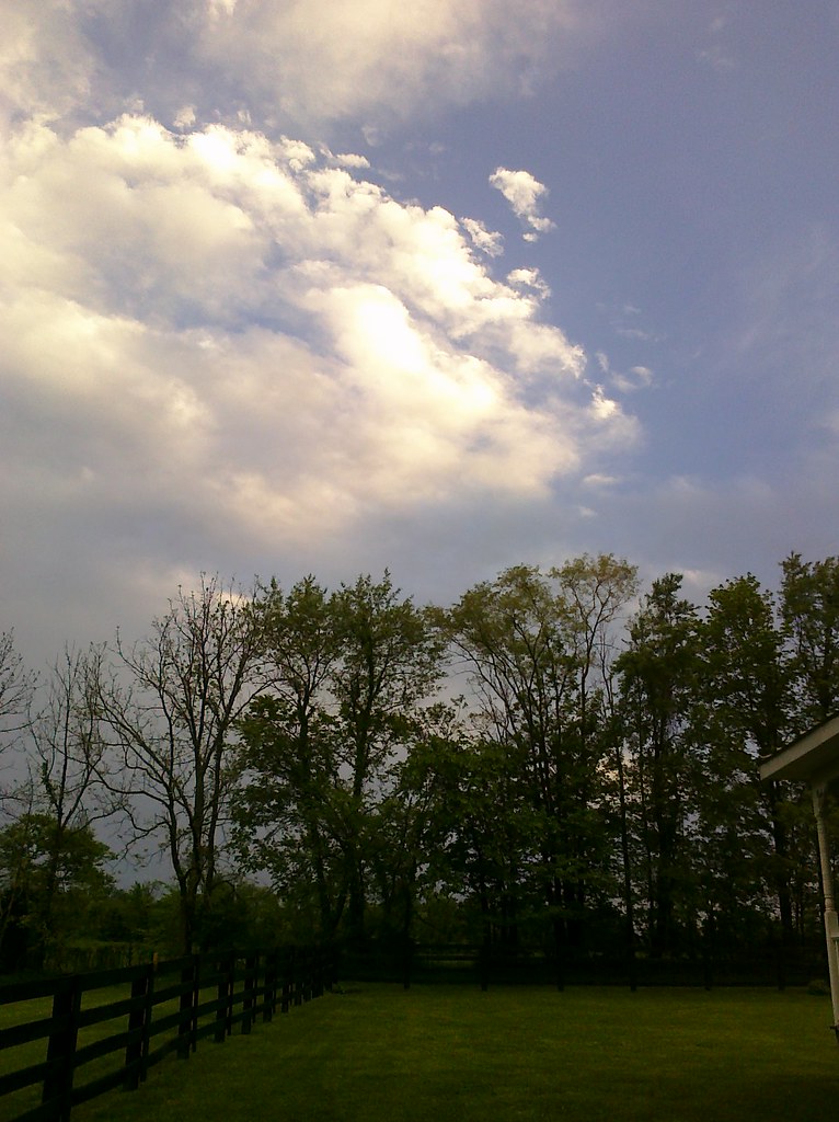
Beautiful clouds coming in over the farm

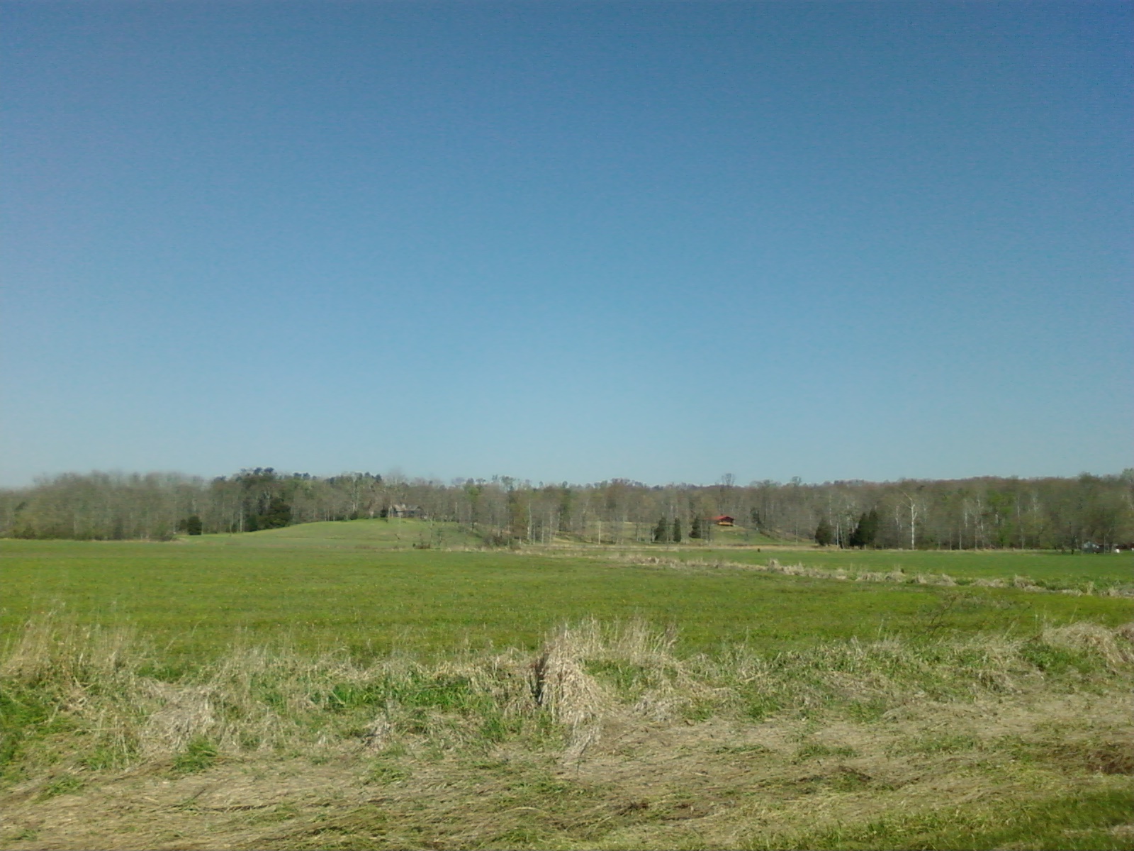
Joe Hurber Corn Field

Pumpkin Patch at Joe Hurber Farms
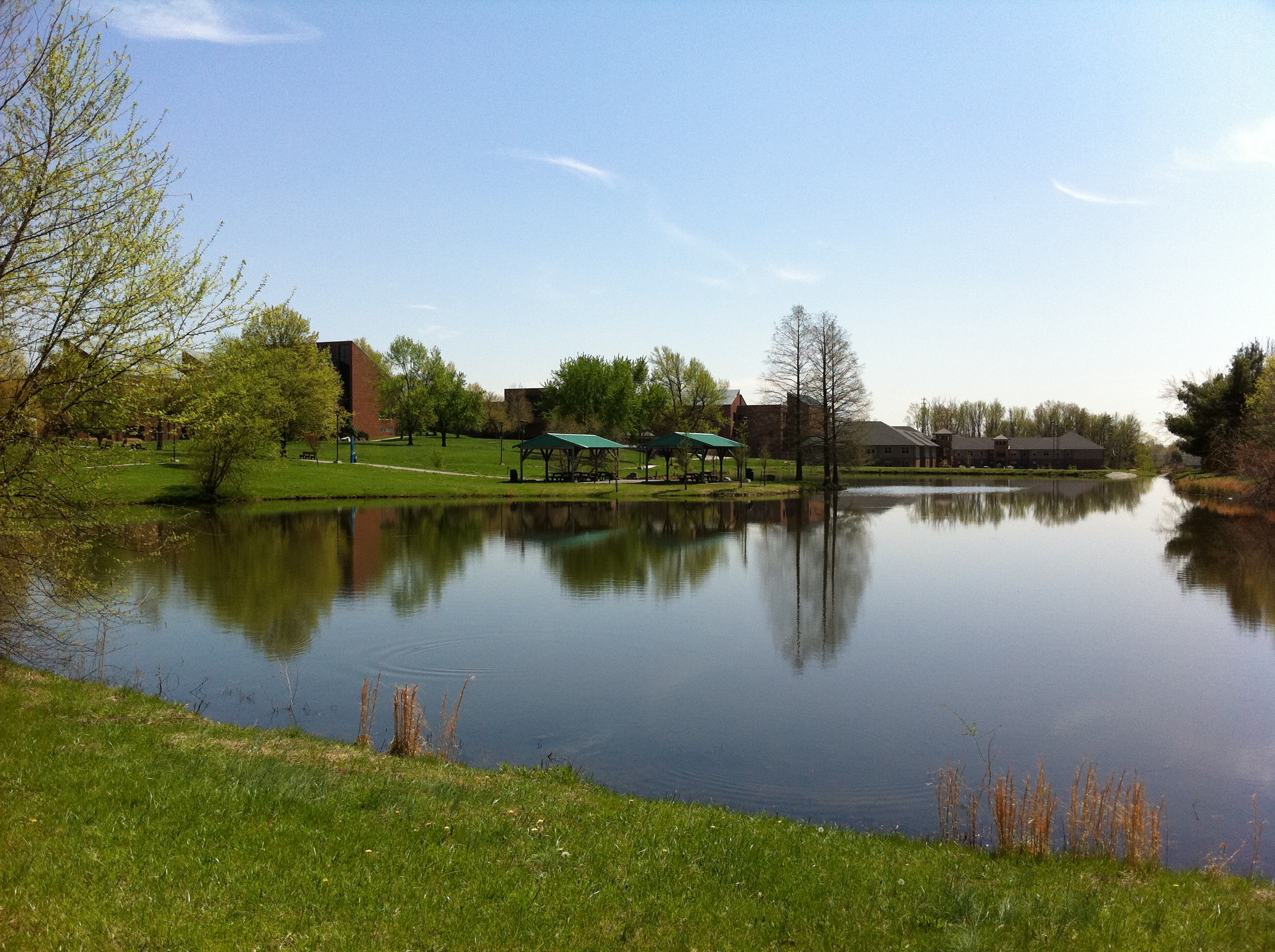
Campus Buildings in Spring
Topographic Map of IN-60, Borden, IN, USA
Find elevation by address:

Places near IN-60, Borden, IN, USA:
1233 E Water St
Broom Hill Rd, Borden, IN, USA
104 Brewer Dr
Starlight
Borden
Market St, Borden, IN, USA
Jackson Rd, Borden, IN, USA
Wood Township
Carrwood Rd, Borden, IN, USA
Scottsville Rd, Borden, IN, USA
25312 Daisy Hill Rd
Deam Lake State Recreation Area
Carr Township
Navilleton Rd, Floyds Knobs, IN, USA
9006 Atkins Rd
4809 Wieska Knob Rd
Lafayette Township
Floyds Knobs, IN, USA
5150 Buck Creek Rd
Galena
Recent Searches:
- Elevation of Spaceport America, Co Rd A, Truth or Consequences, NM, USA
- Elevation of Warwick, RI, USA
- Elevation of Fern Rd, Whitmore, CA, USA
- Elevation of 62 Abbey St, Marshfield, MA, USA
- Elevation of Fernwood, Bradenton, FL, USA
- Elevation of Felindre, Swansea SA5 7LU, UK
- Elevation of Leyte Industrial Development Estate, Isabel, Leyte, Philippines
- Elevation of W Granada St, Tampa, FL, USA
- Elevation of Pykes Down, Ivybridge PL21 0BY, UK
- Elevation of Jalan Senandin, Lutong, Miri, Sarawak, Malaysia