Elevation of Impasugong Communal Ranch, Unnamed Road, Impasug-ong, Bukidnon, Philippines
Location: Philippines > Northern Mindanao > Bukidnon > Impasug-ong > Capitan Bayong >
Longitude: 125.028755
Latitude: 8.3049606
Elevation: 607m / 1991feet
Barometric Pressure: 94KPa
Elevation Map:
Satellite Map:
Related Photos:
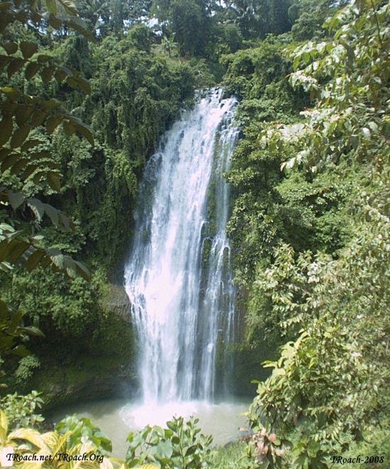
WaterFall-SD08080004A
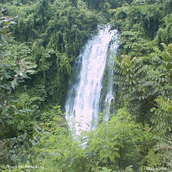
WaterFall-SD08080001A
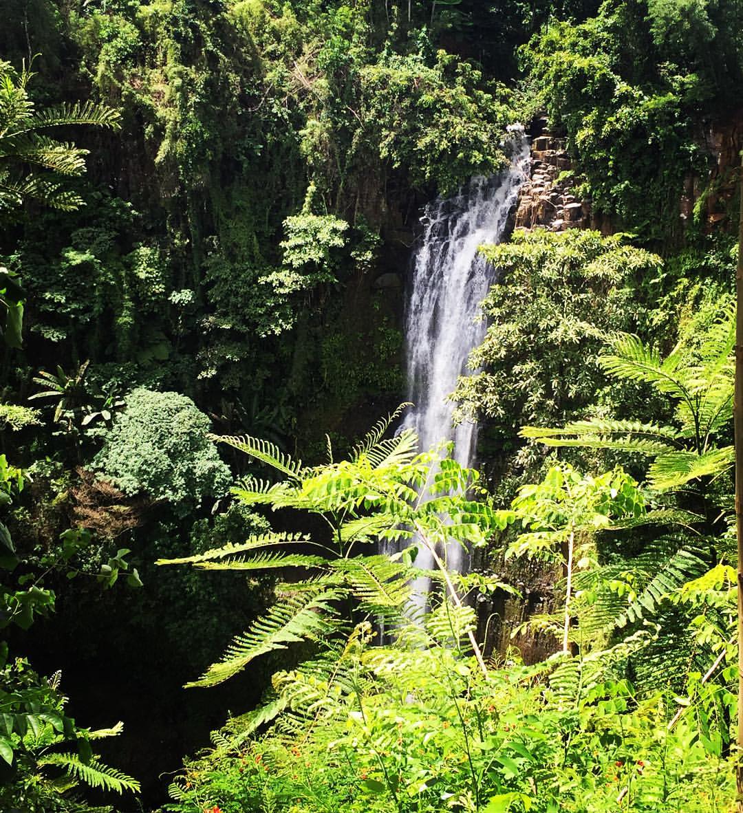
Hiding in plain sight #chasingwaterfalls #hiking #trekking #nature #instanature #hubnature #hikeph
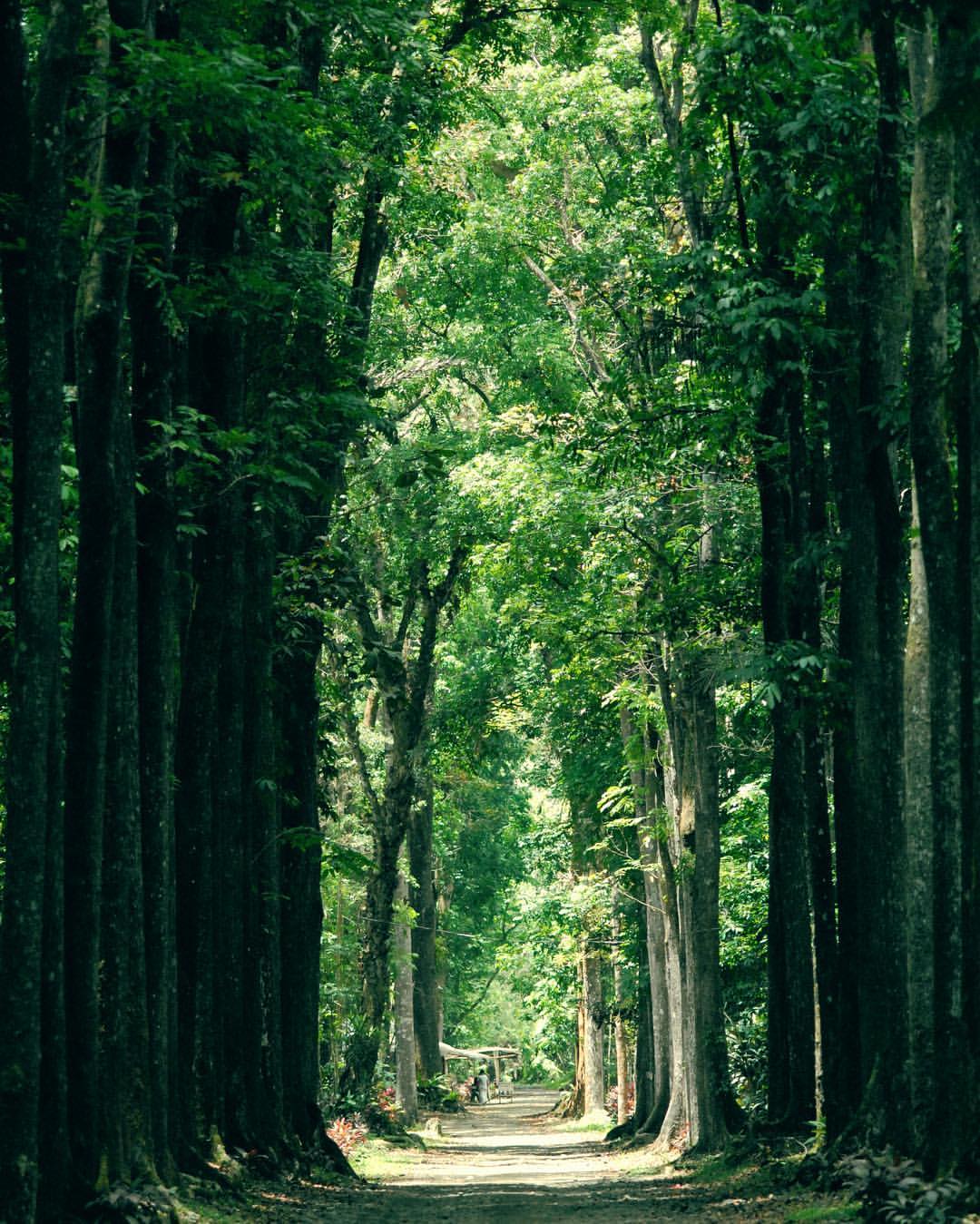
The path of excess leads to tower of wisdom #kahoygraphy #treemagic #tree_magic #forest #forestpath #nikond200 #nikonphotography #nature #hubnature #instanature #instagramhub
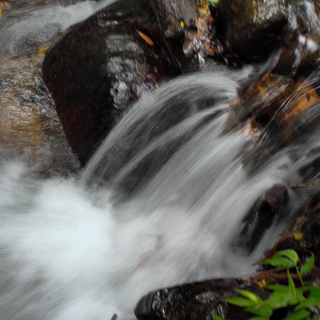
Yatis Batis #spring #watertracing #nikond200 #nikonphotography #water #coldspring #nature #instanature #hubnature #instagramhub
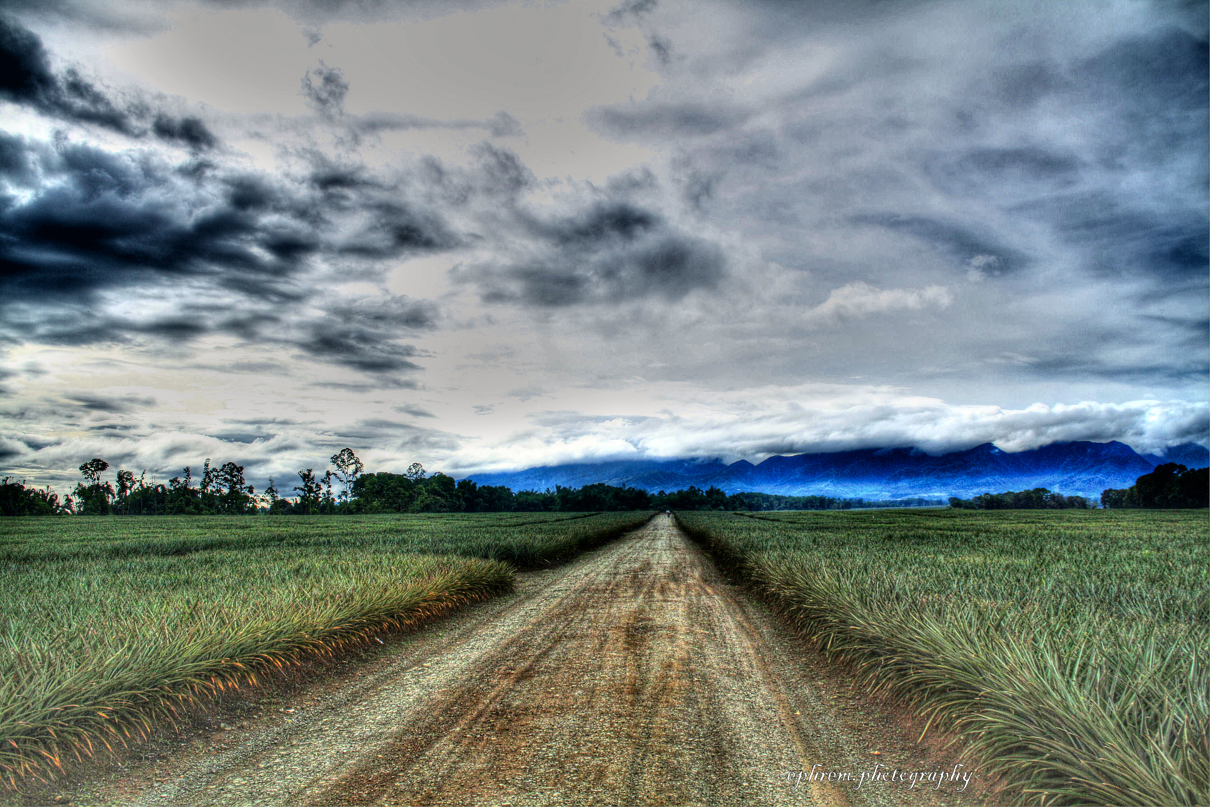
pineapple plantation in bukidnon

Rural Tours 2509
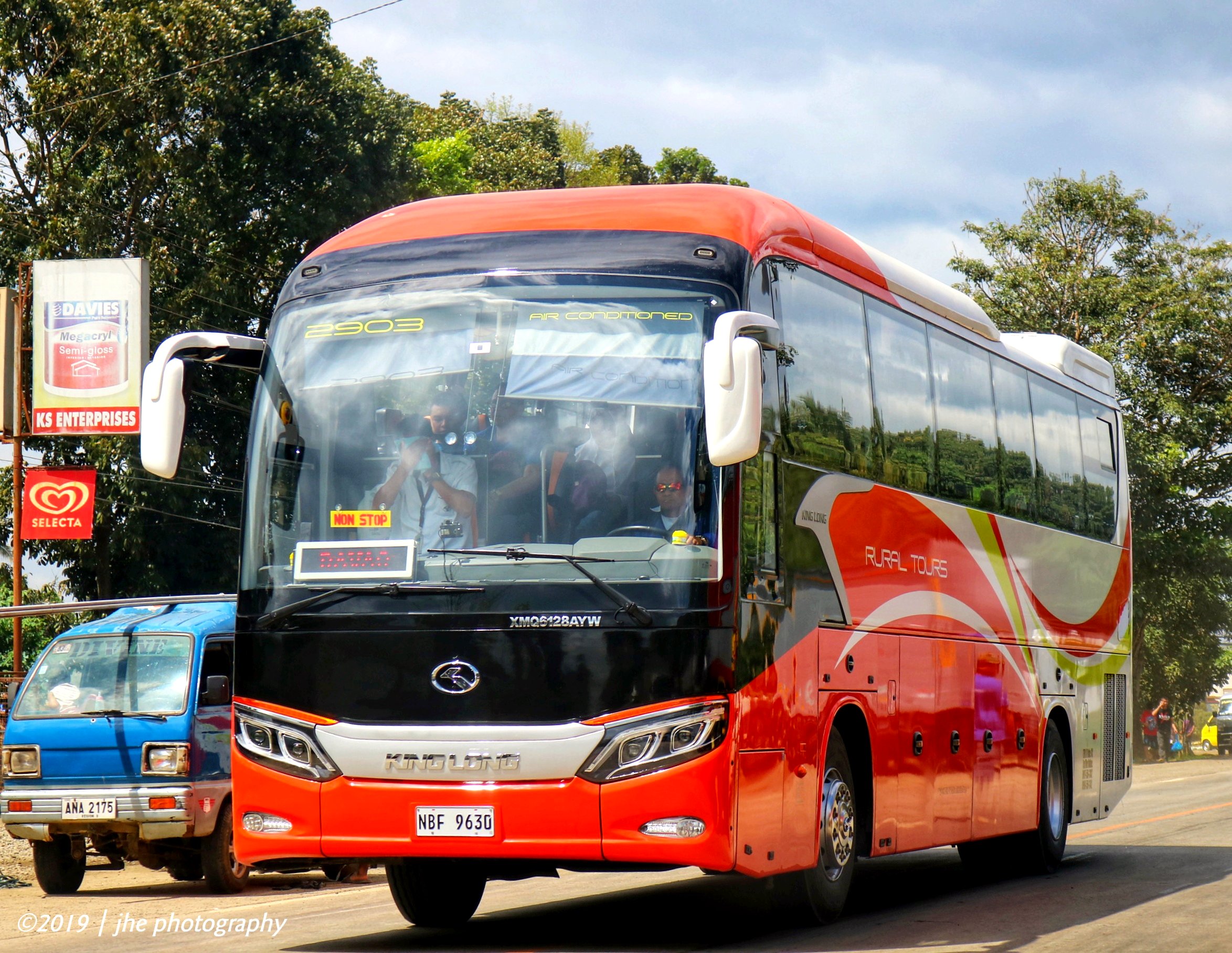
Rural Tours 2903

Rural Tours 2905
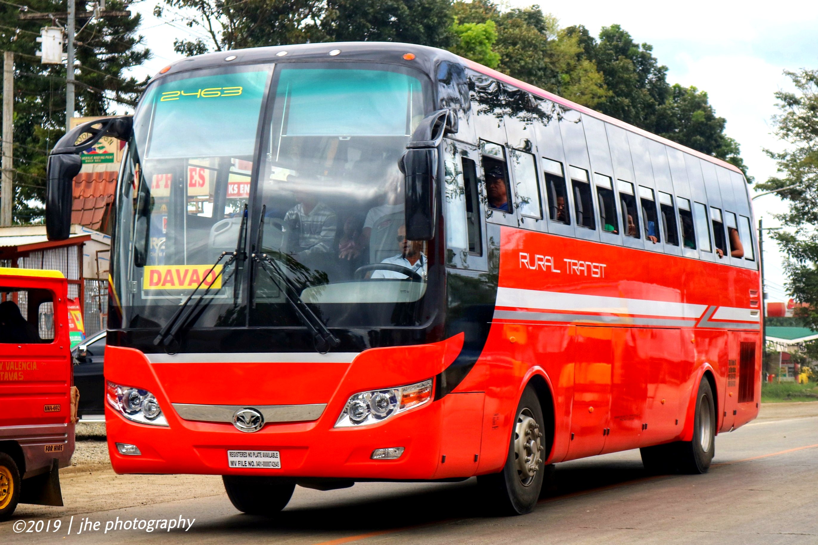
Rural Transit 2463

Super Five S 217
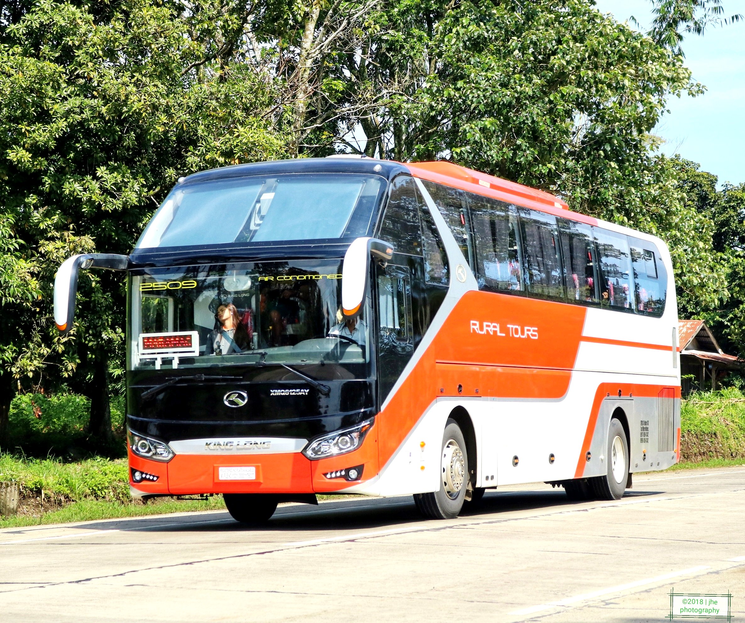
Rural Tours 2509

Super Five S 253
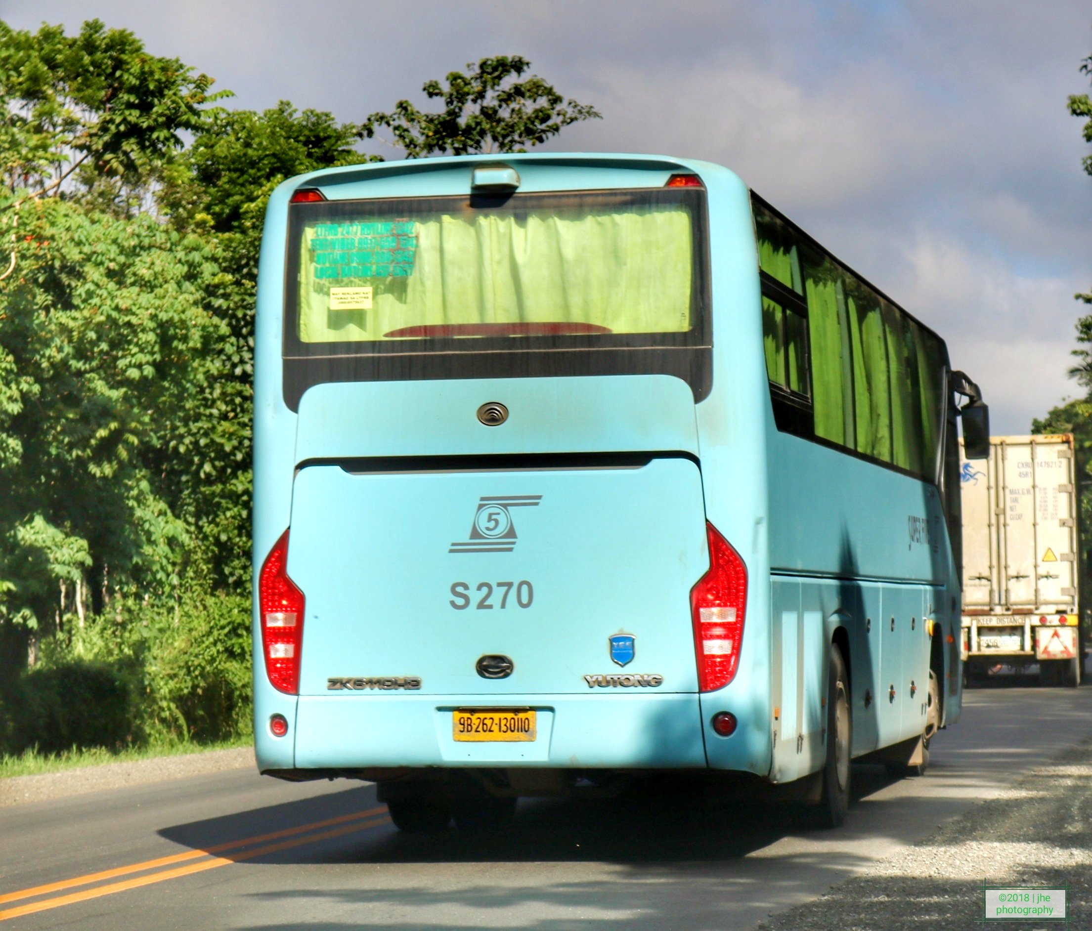
Super Five S 270
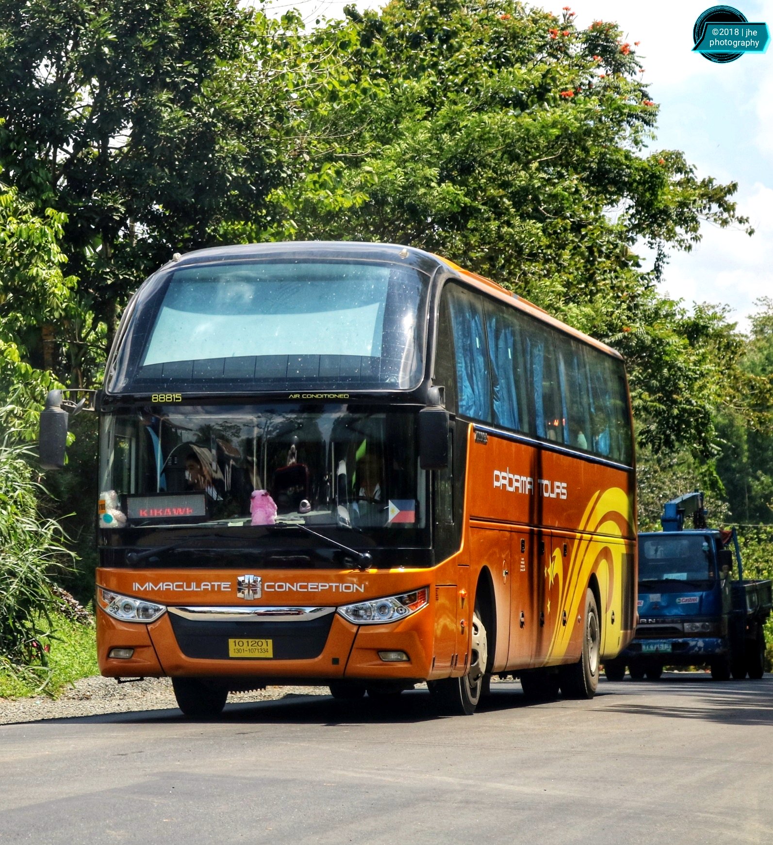
Pabama Tours 88815
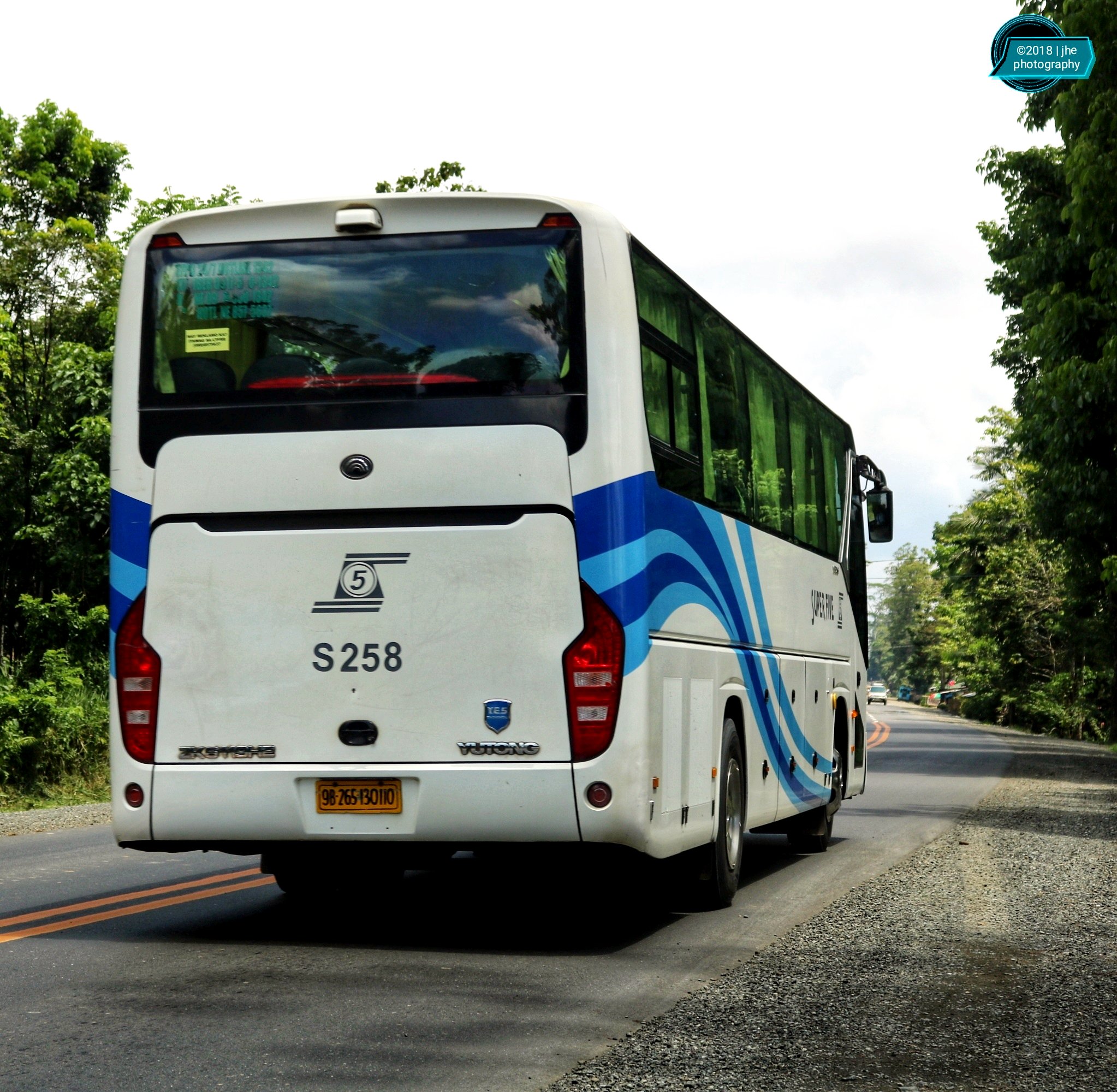
Super Five S 258

Rural Tours 2201 and 2501

Bukidnon State University Bus

Super Five S258

Rural Tours AY

Rural Tours Chevron

empty shells????????
Super Five S 228
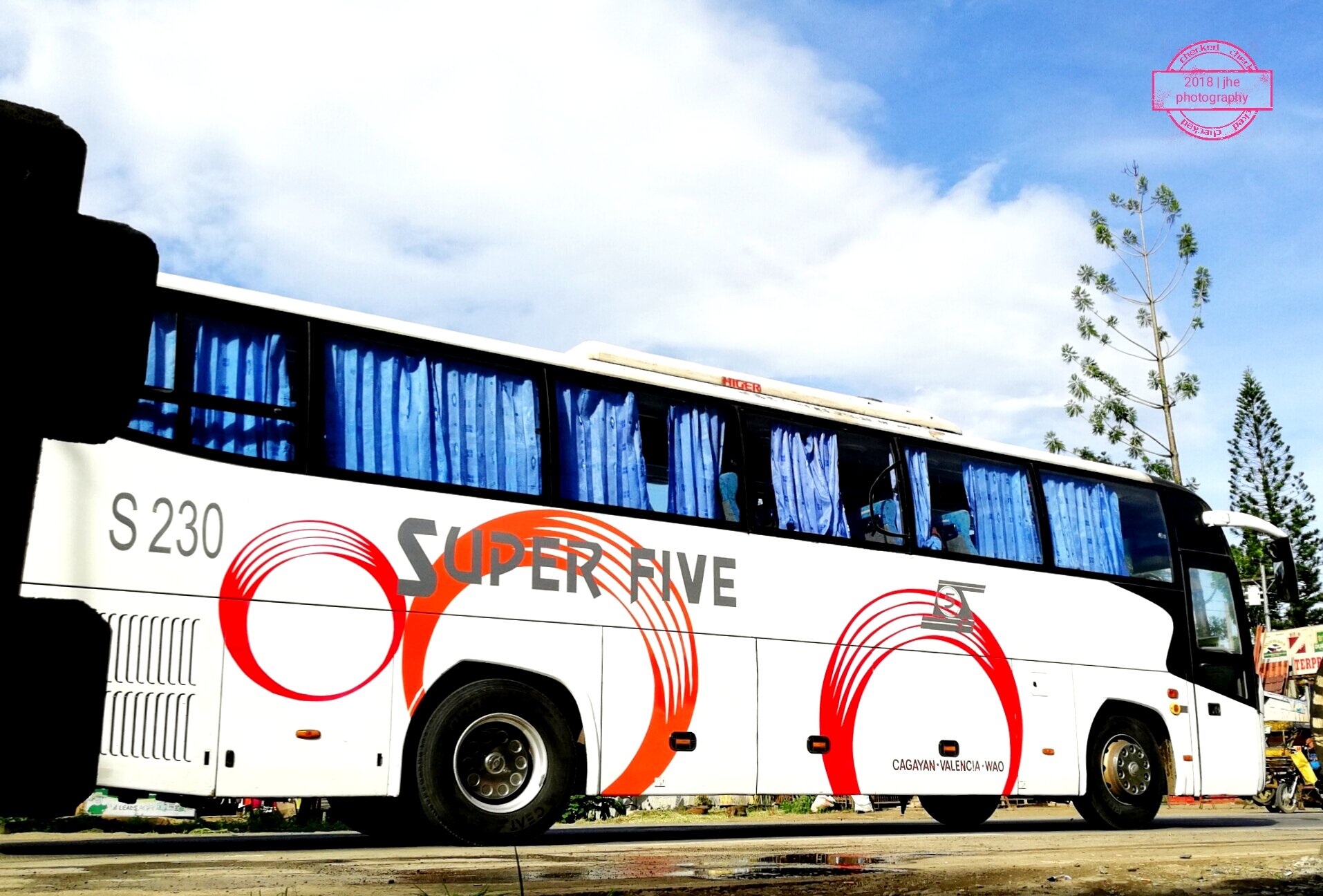
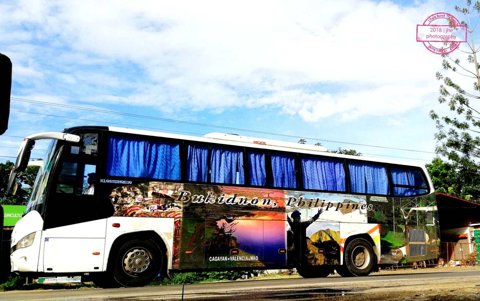
S 230

Pabama Tours

Toyota coaster

Rural Tours Viking
Topographic Map of Impasugong Communal Ranch, Unnamed Road, Impasug-ong, Bukidnon, Philippines
Find elevation by address:

Places near Impasugong Communal Ranch, Unnamed Road, Impasug-ong, Bukidnon, Philippines:
Capitan Bayong
Atugan Canyon
Purok-6
Panimahawa Ridge
Poblacion
Impasug-ong National High School
Kapayawan Ridge
Impalutao
Intavas Road
Sumilao Municipal Hall
Kisolon
Sumilao
San Vicente
Sayawan
Dumalaguing
Impasug-ong
Impasug-ong
Kalampigan Elementary School
Palaopao Mountains
Guihean
Recent Searches:
- Elevation of Tenjo, Cundinamarca, Colombia
- Elevation of Côte-des-Neiges, Montreal, QC H4A 3J6, Canada
- Elevation of Bobcat Dr, Helena, MT, USA
- Elevation of Zu den Ihlowbergen, Althüttendorf, Germany
- Elevation of Badaber, Peshawar, Khyber Pakhtunkhwa, Pakistan
- Elevation of SE Heron Loop, Lincoln City, OR, USA
- Elevation of Slanický ostrov, 01 Námestovo, Slovakia
- Elevation of Spaceport America, Co Rd A, Truth or Consequences, NM, USA
- Elevation of Warwick, RI, USA
- Elevation of Fern Rd, Whitmore, CA, USA