Elevation of Immigrant Road, NB E4A, Canada
Location: Canada > New Brunswick > Sunbury County > Northfield >
Longitude: -66.067654
Latitude: 46.2370083
Elevation: 159m / 522feet
Barometric Pressure: 99KPa
Elevation Map:
Satellite Map:
Related Photos:
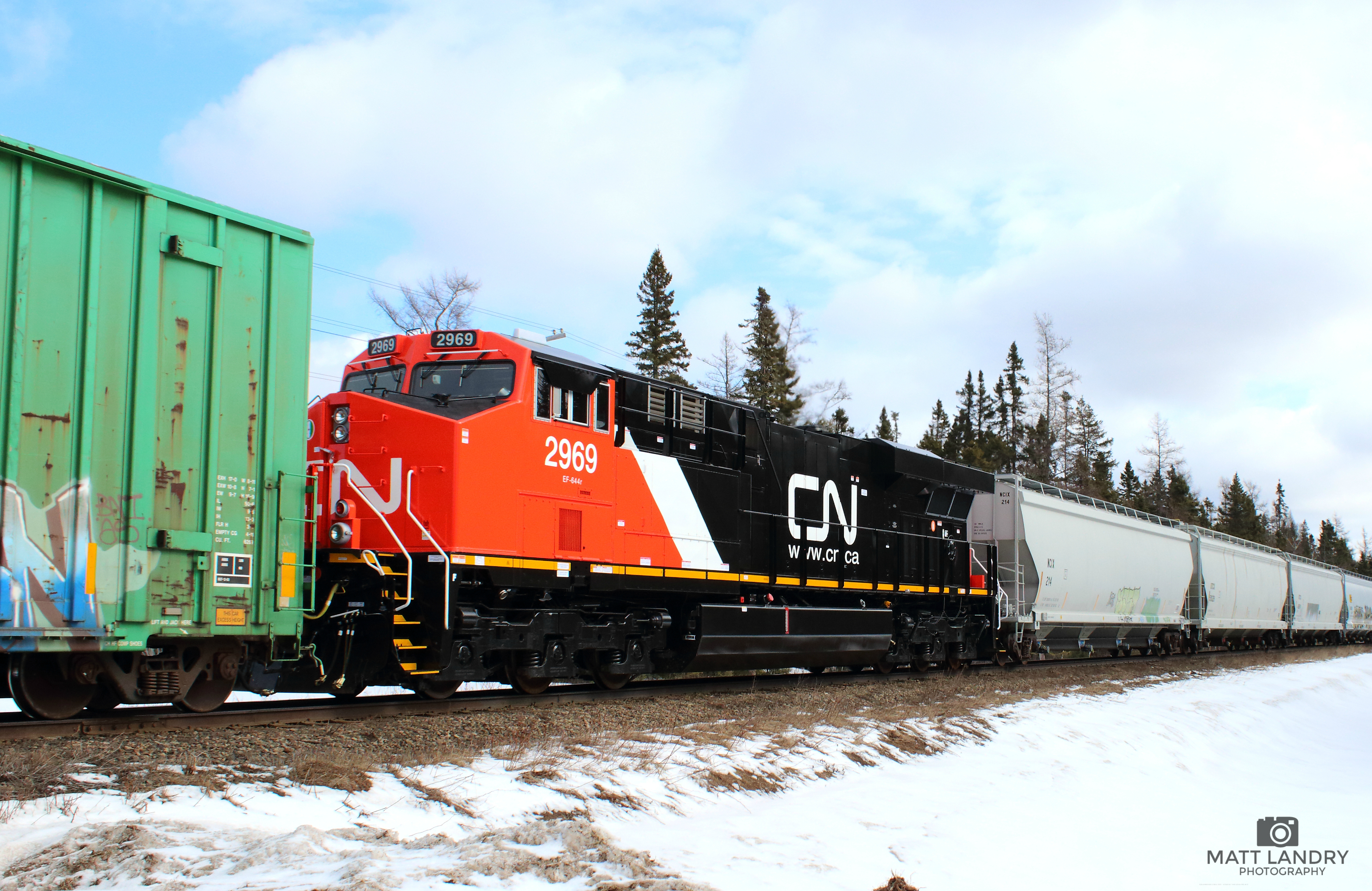
CN 2969, Running Mid Train
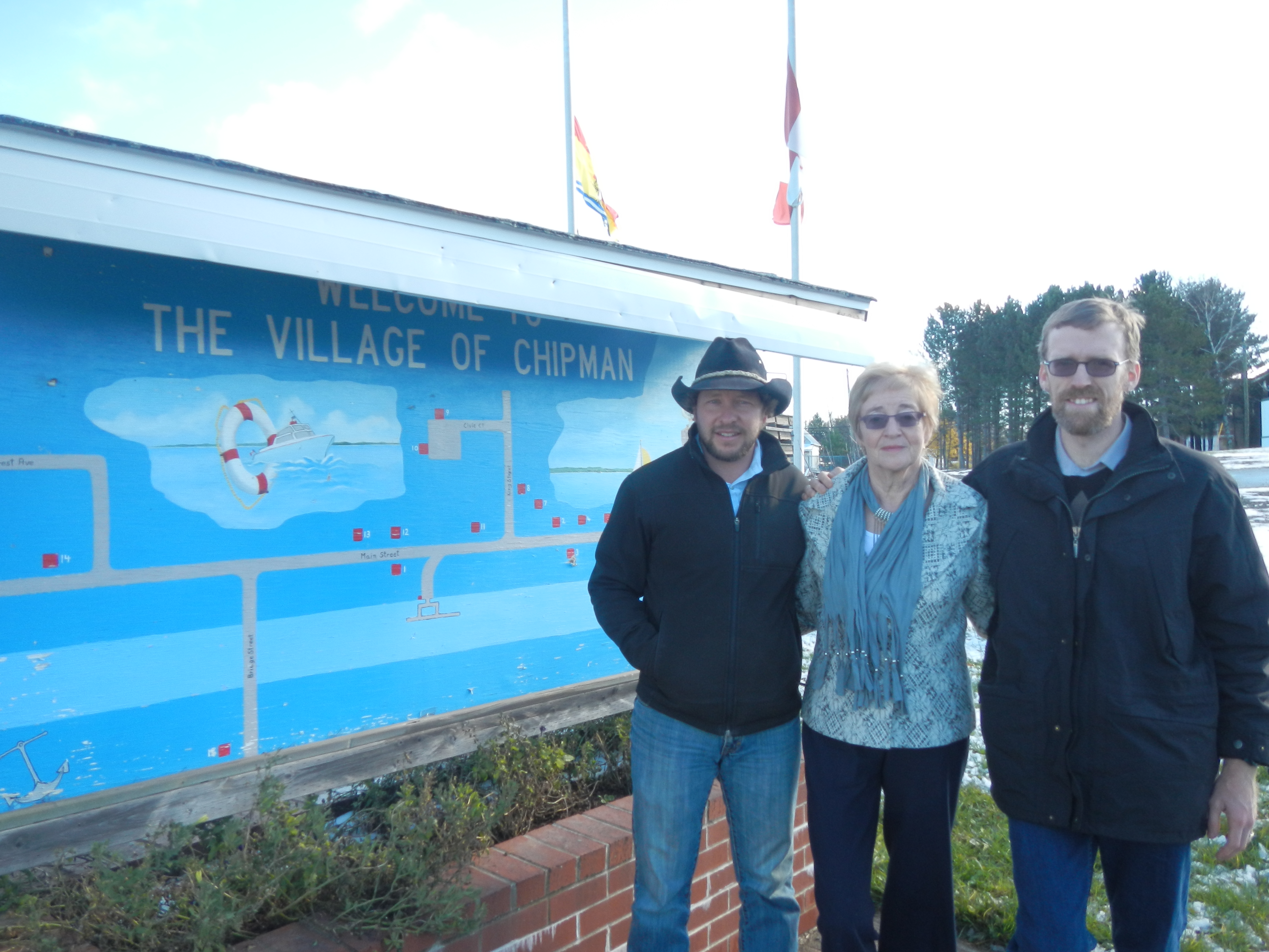
Chipman and Fredericton 04Nov2014 (2)
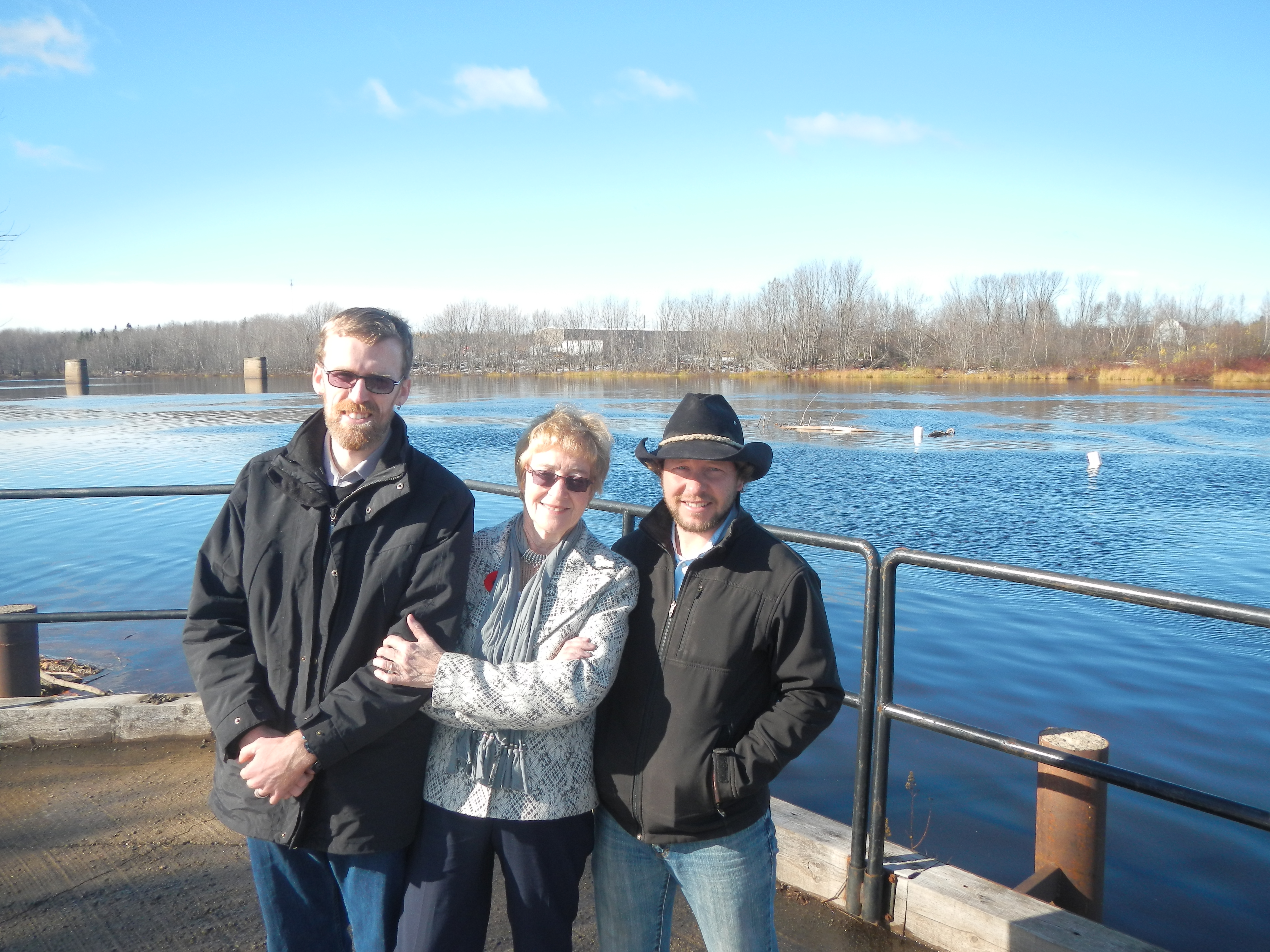
Chipman and Fredericton 04Nov2014 (5)

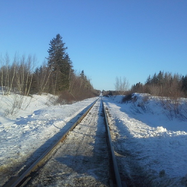
Chipman and Fredericton 04Nov2014 (7)
Train crossing at the rte 116 amd rte 126 junction in New Brunswick. The Federal government wants to shut this part of the line down. This was part of the intercolonial railway that was put in place at the Confederation of Canada. This is a shame that

Jamie Catches Big Smallie

Fishing In The Rain
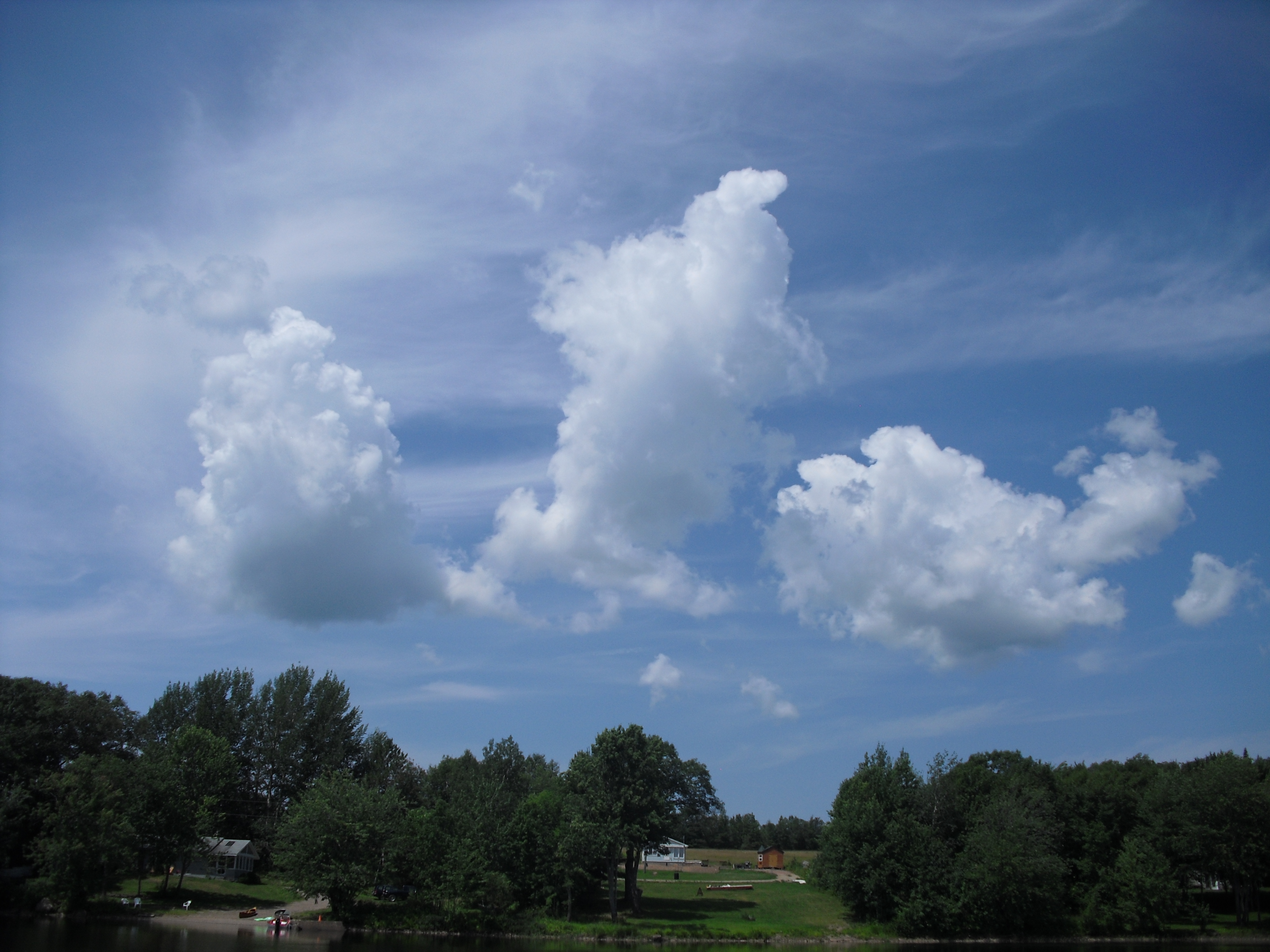
Fluffy Clouds over Cannan River New Brunswick
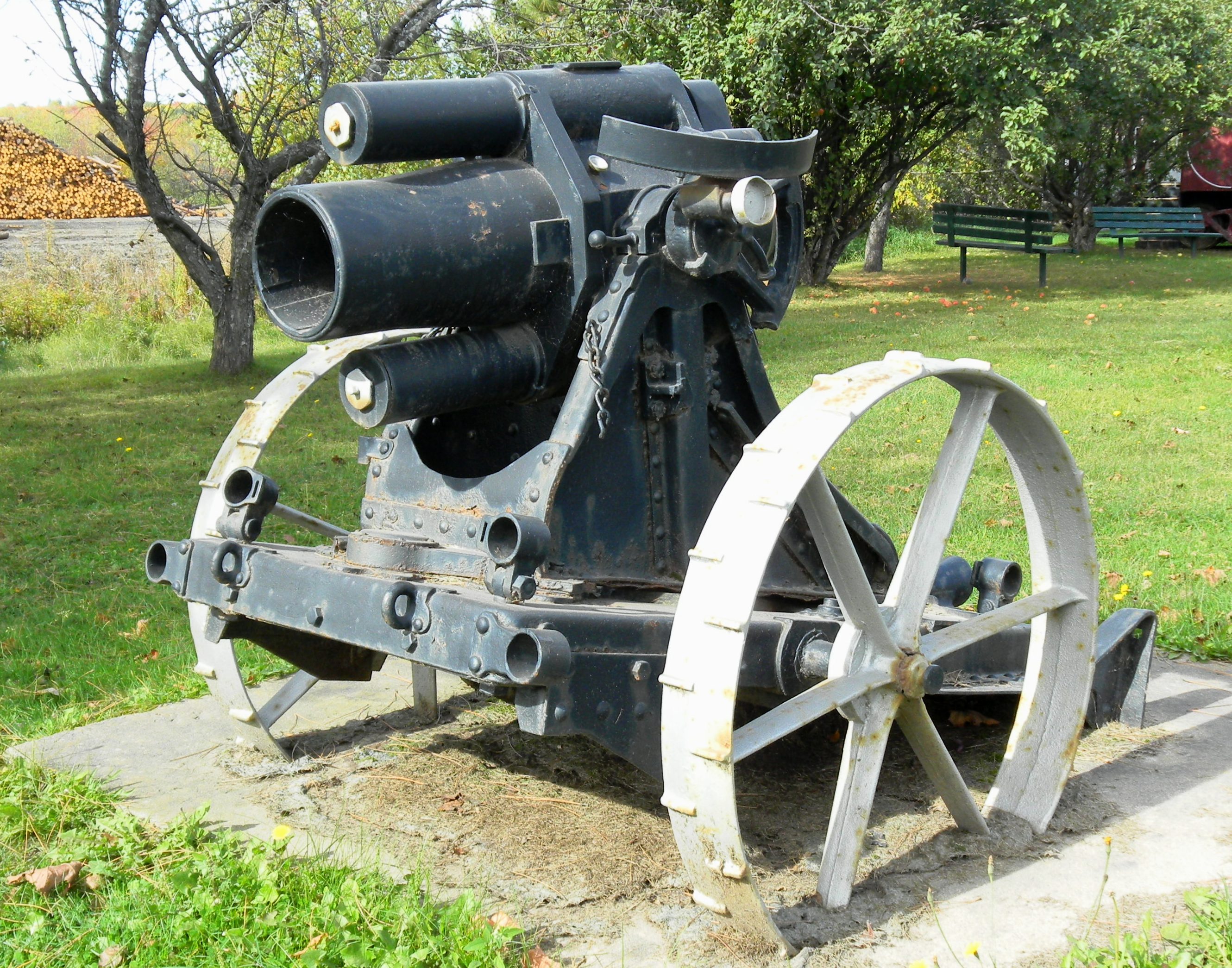
German Great War 17-cm mittlerer Minenwerfer, Trench Mortar, Chipman, New Brunswick
Topographic Map of Immigrant Road, NB E4A, Canada
Find elevation by address:

Places in Immigrant Road, NB E4A, Canada:
Places near Immigrant Road, NB E4A, Canada:
Northfield
36 Immigrant Rd, Immigrant Road, NB E4A 1B7, Canada
Post Rd, Chipman, NB E4A 1T7, Canada
6816 Nb-10
1140 Northside Dr
Minto
300 Northfield Ave
Jd Irving Sawmill - Grand Lake Timber
290 Main St
Chipman
70 Queen St
Red Bank Drive
Red Bank Drive
Red Bank Dr, Chipman, NB E4A 2A4, Canada
10 Sunview Ln W, Canning, NB E4B, Canada
Chipman
Canning
290 Cumberland Point Rd
290 Cumberland Point Rd
290 Cumberland Point Rd
Recent Searches:
- Elevation of Fairland Ave, Fairhope, AL, USA
- Elevation of Sunset Dr, Richmond, VA, USA
- Elevation of Grodna District, Hrodna Region, Belarus
- Elevation of Hrodna, Hrodna Region, Belarus
- Elevation of Sandia Derby Estates, Tijeras, NM, USA
- Elevation of 23 Sunrise View Ct, Tijeras, NM, USA
- Elevation of Lytham Ln, Katy, TX, USA
- Elevation of Tater Hill, Oklahoma, USA
- Elevation of NY-, Friendship, NY, USA
- Elevation of 64 Danakas Dr, Winnipeg, MB R2C 5N7, Canada