Elevation of Imabetsu, Higashitsugaru District, Aomori Prefecture, Japan
Location: Japan > Aomori Prefecture > Higashitsugaru District >
Longitude: 140.481654
Latitude: 41.1817573
Elevation: 15m / 49feet
Barometric Pressure: 101KPa
Elevation Map:
Satellite Map:
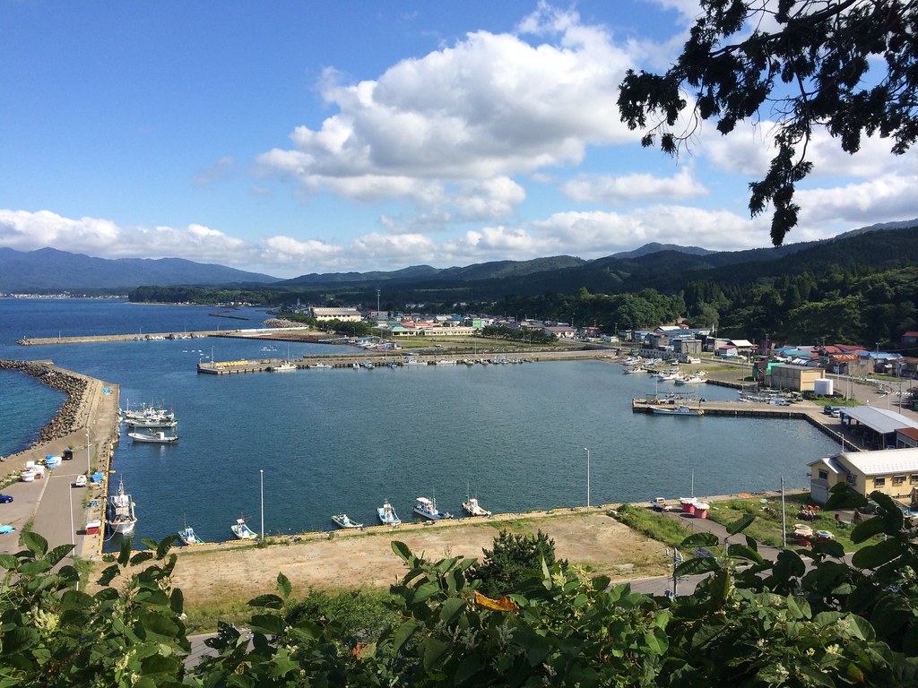
Related Photos:
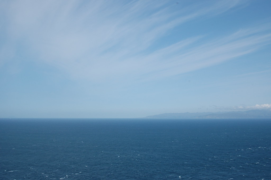
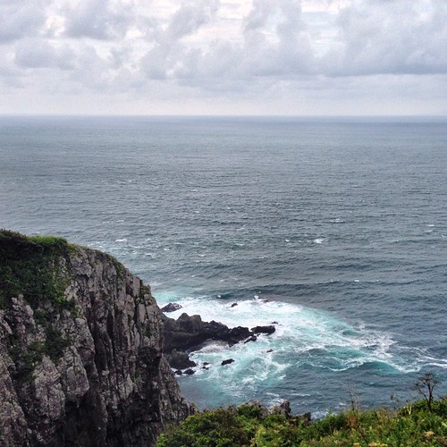
The view of the Hokkaido from the Cape Tappi @ Aomori

Now I'm On Journey
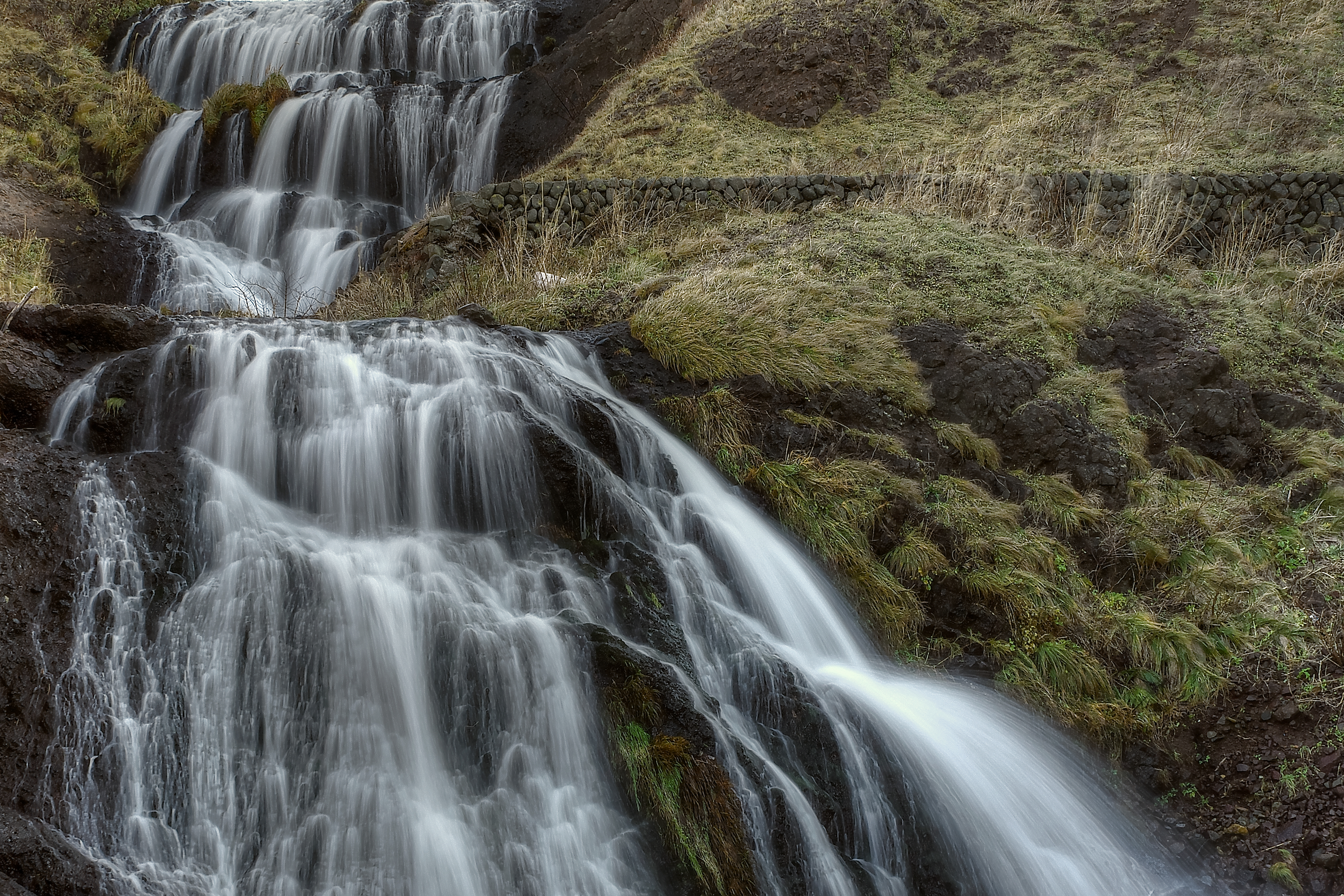
WaterFall 3 HDR

青森ツーリング
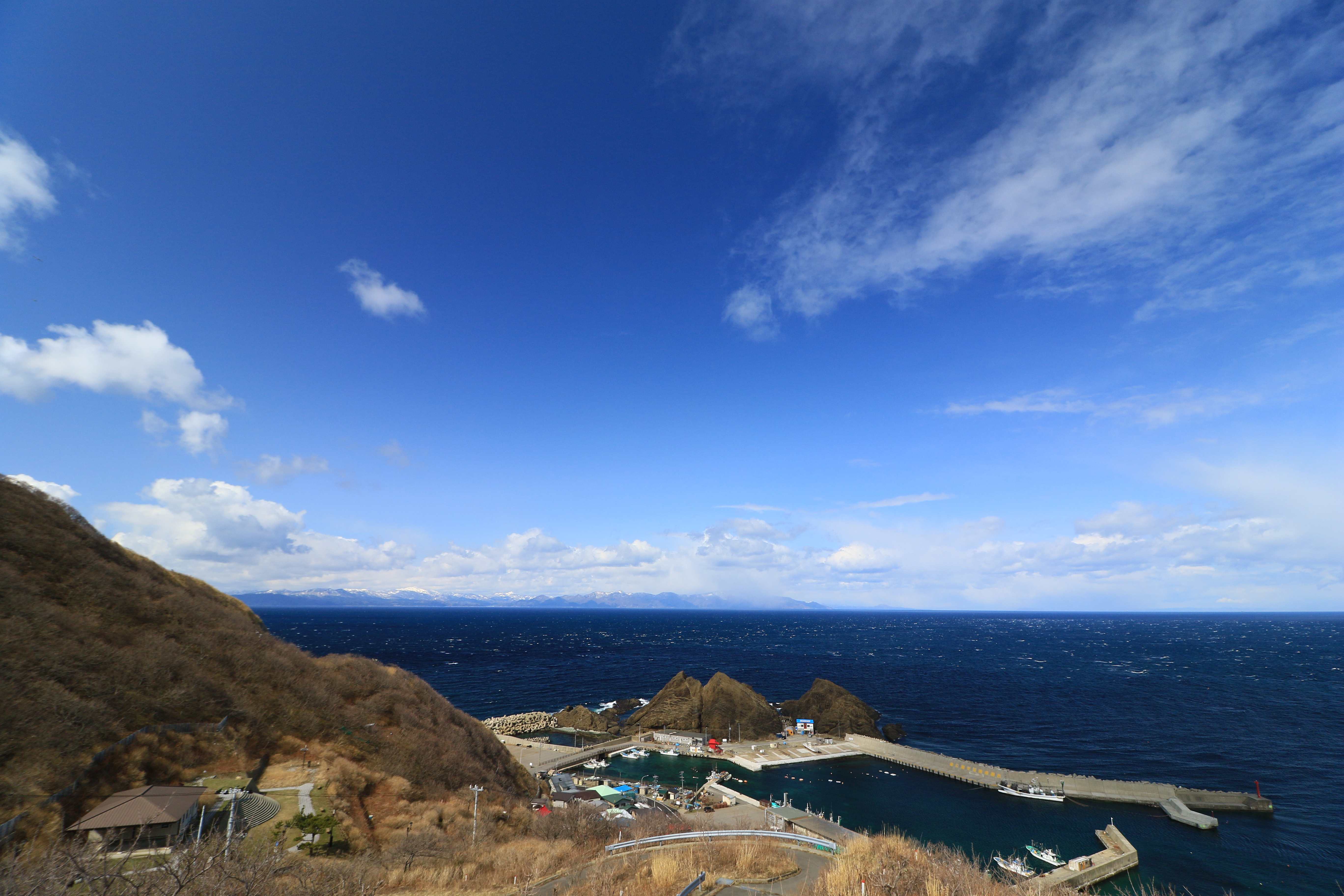
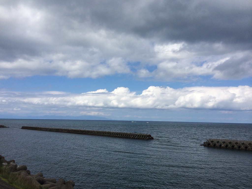
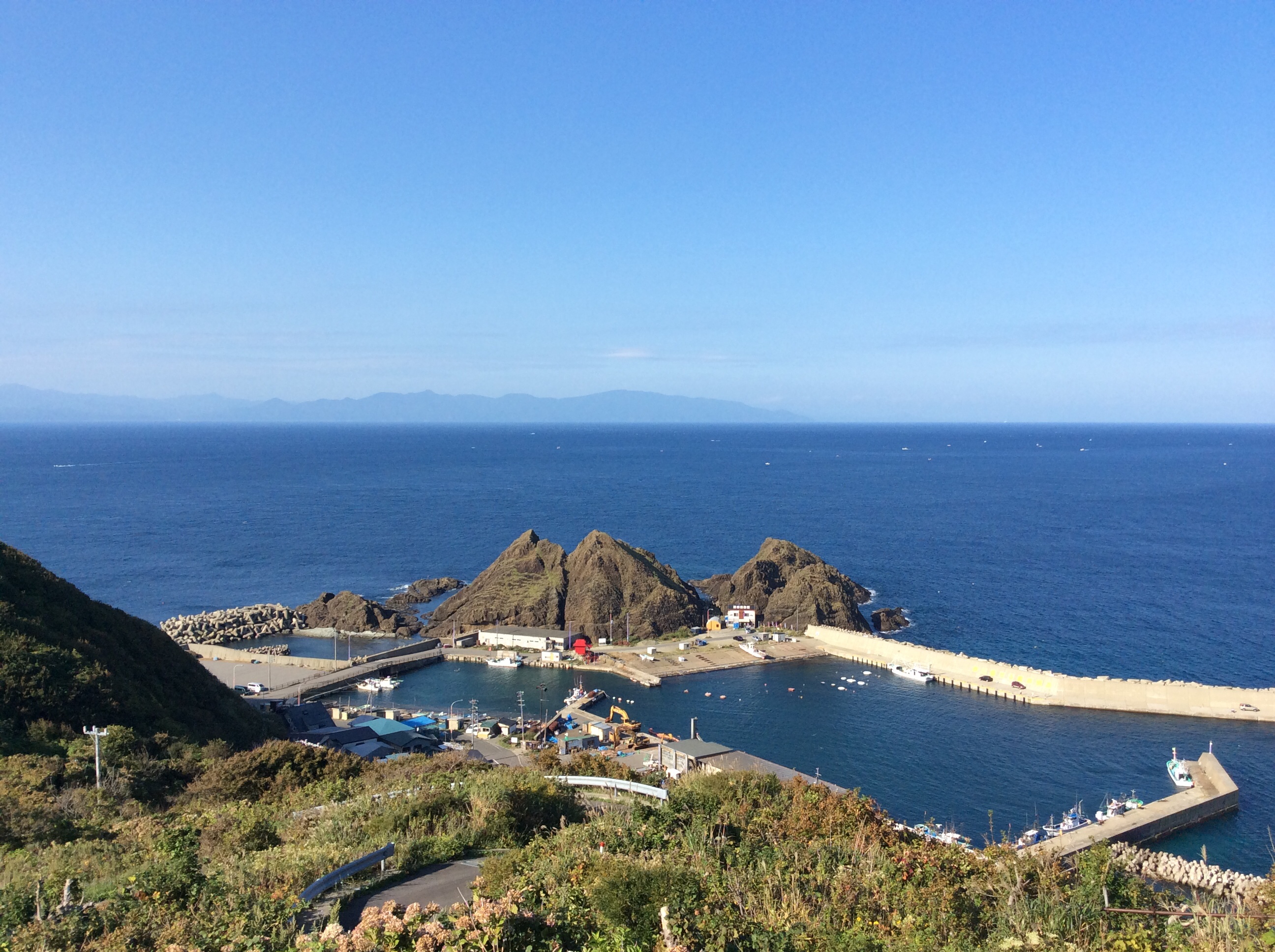
龍飛漁港
Igamazaki, Imabetsu
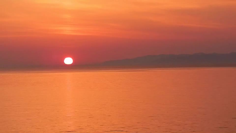
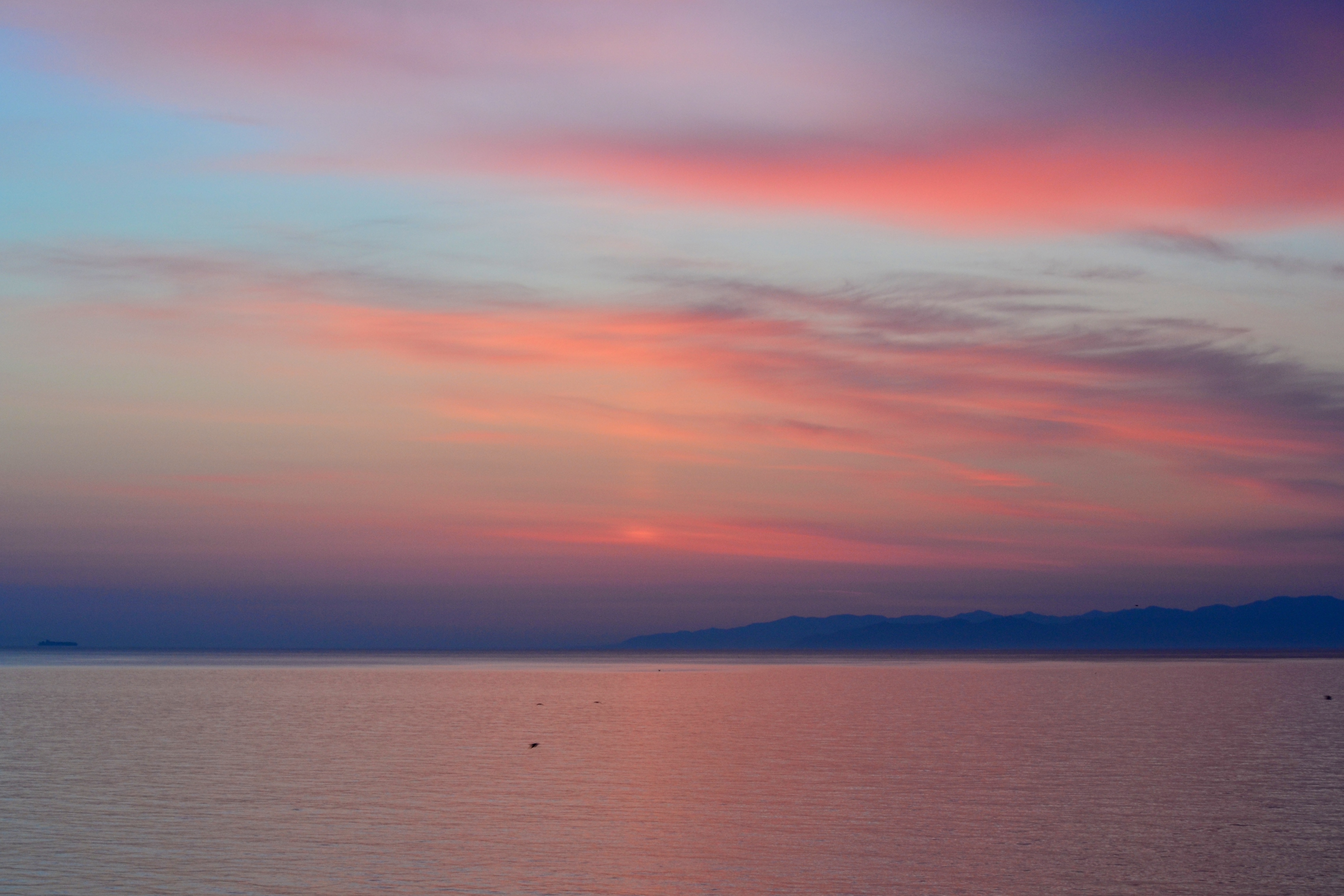
sunset - dolphins, Imabetsu
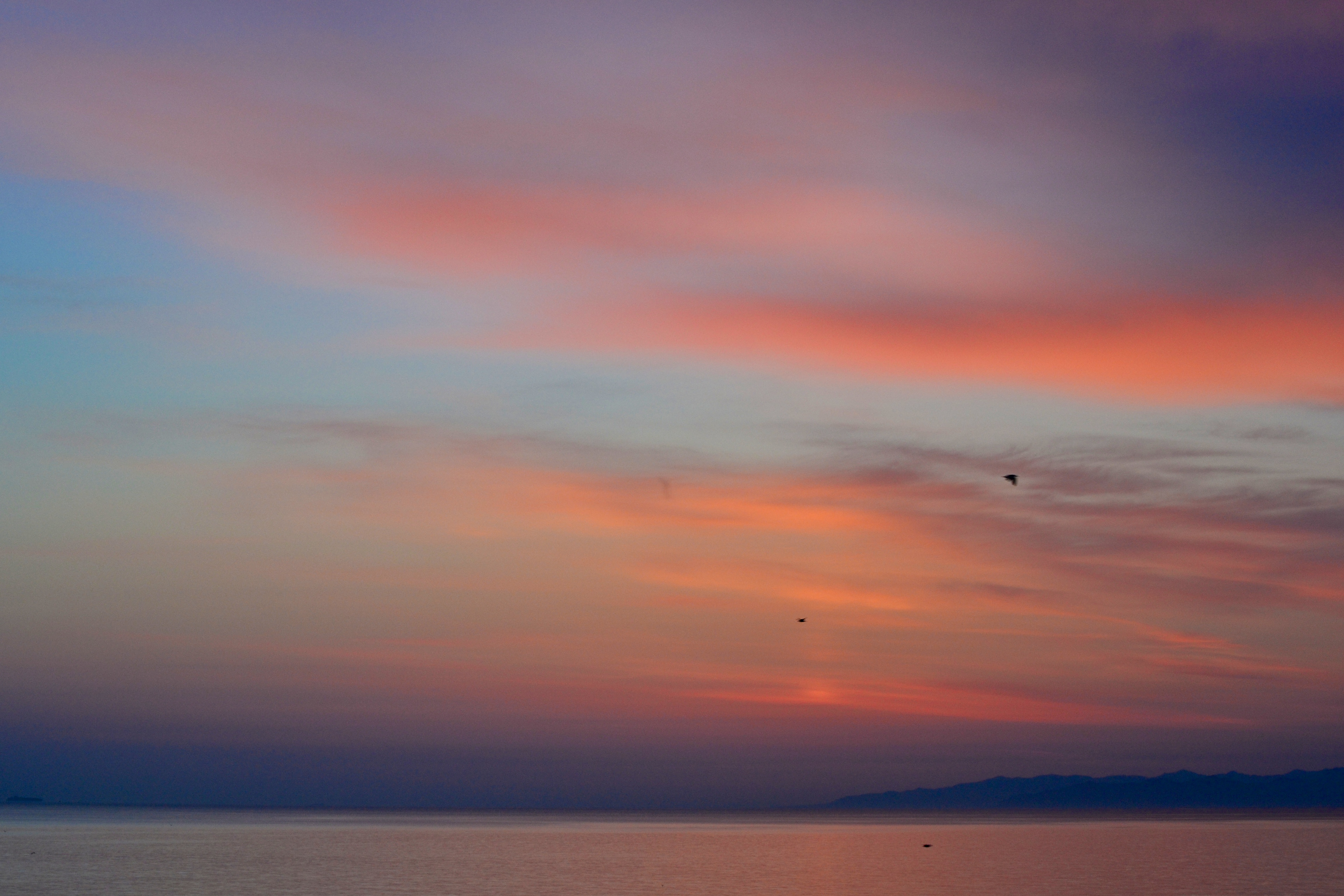
Igamazaki, Imabetsu
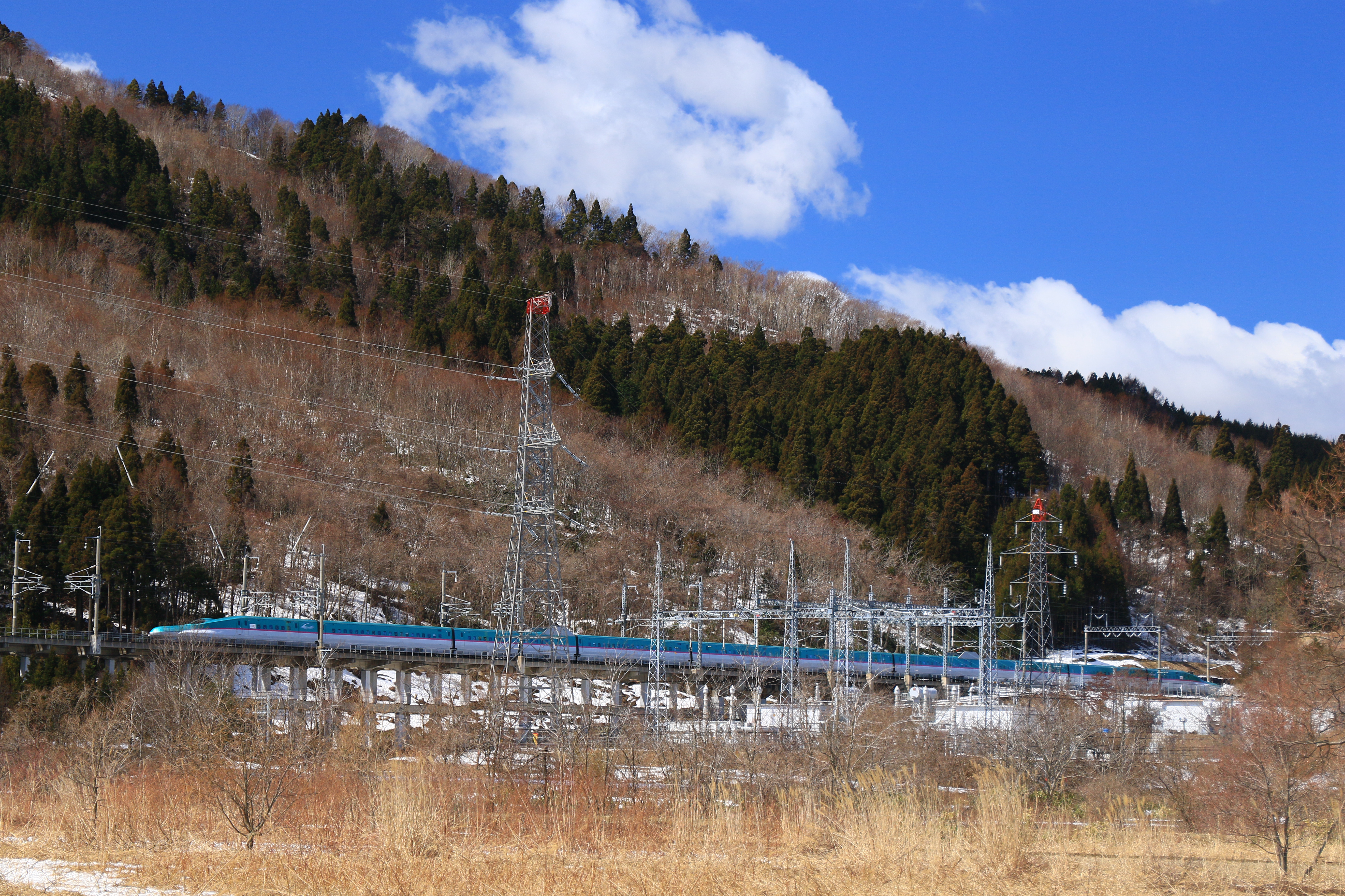
E5系 はやぶさ18号
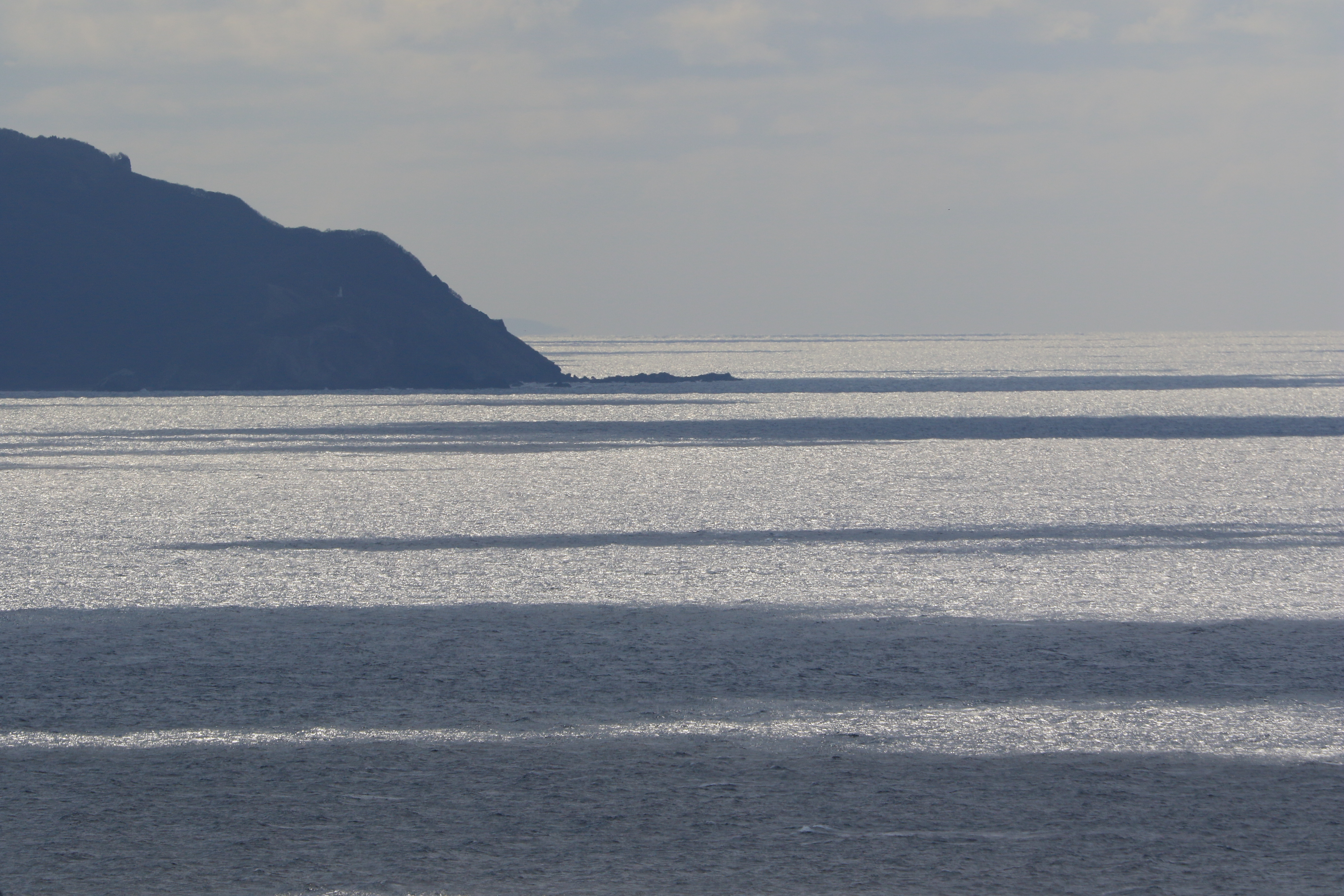
日本海
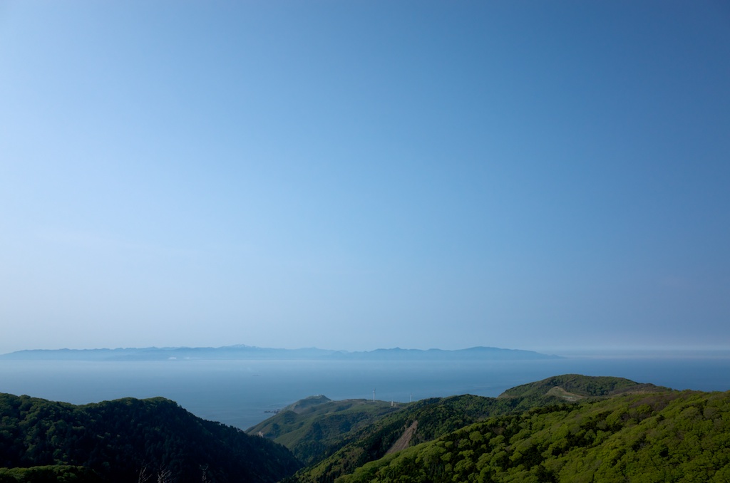
北海道はかすかに
20130526 15:24 Nakadomari,Aomori
iPhone5sで撮影 夏の東北旅行2014
201507青森〜新潟〜福島
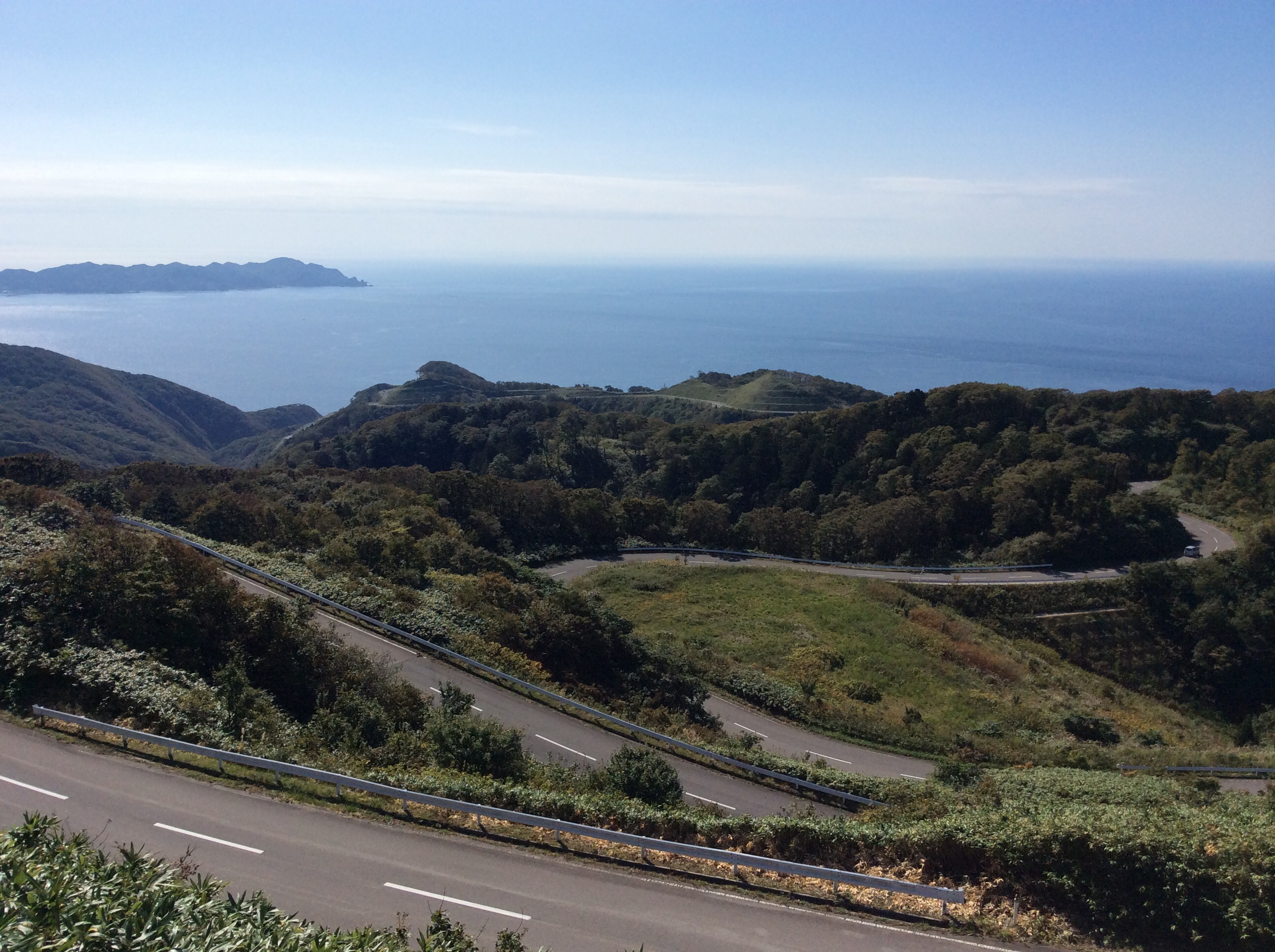
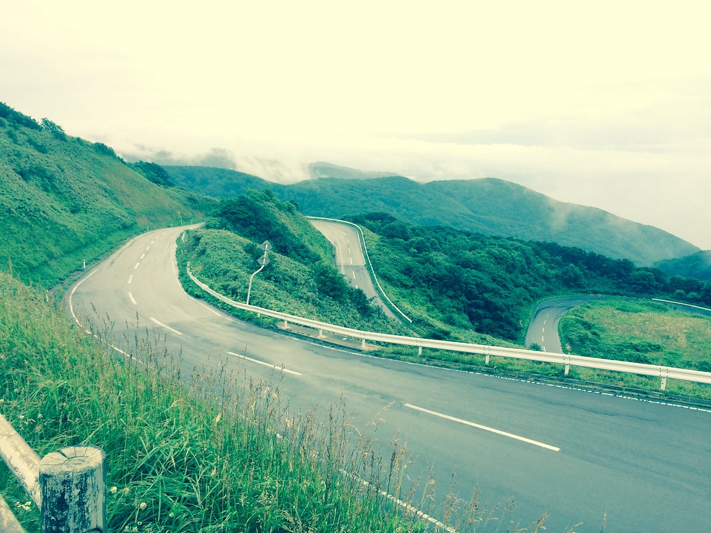
Looking back down that twisty road at Tappizaki.
Tappizaki.

青森ツーリング
iPhone5sで撮影 夏の東北旅行2014

青森ツーリング
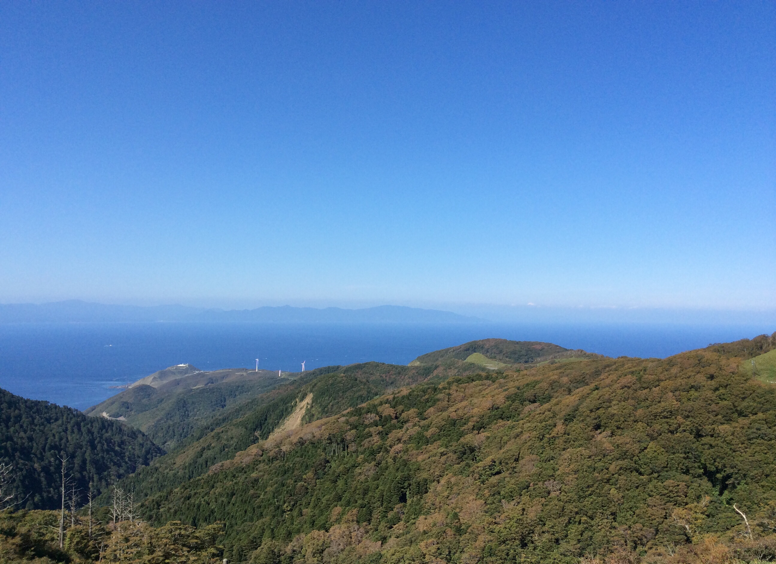
Tappizaki wind turbines, Hokkaido in the distance.
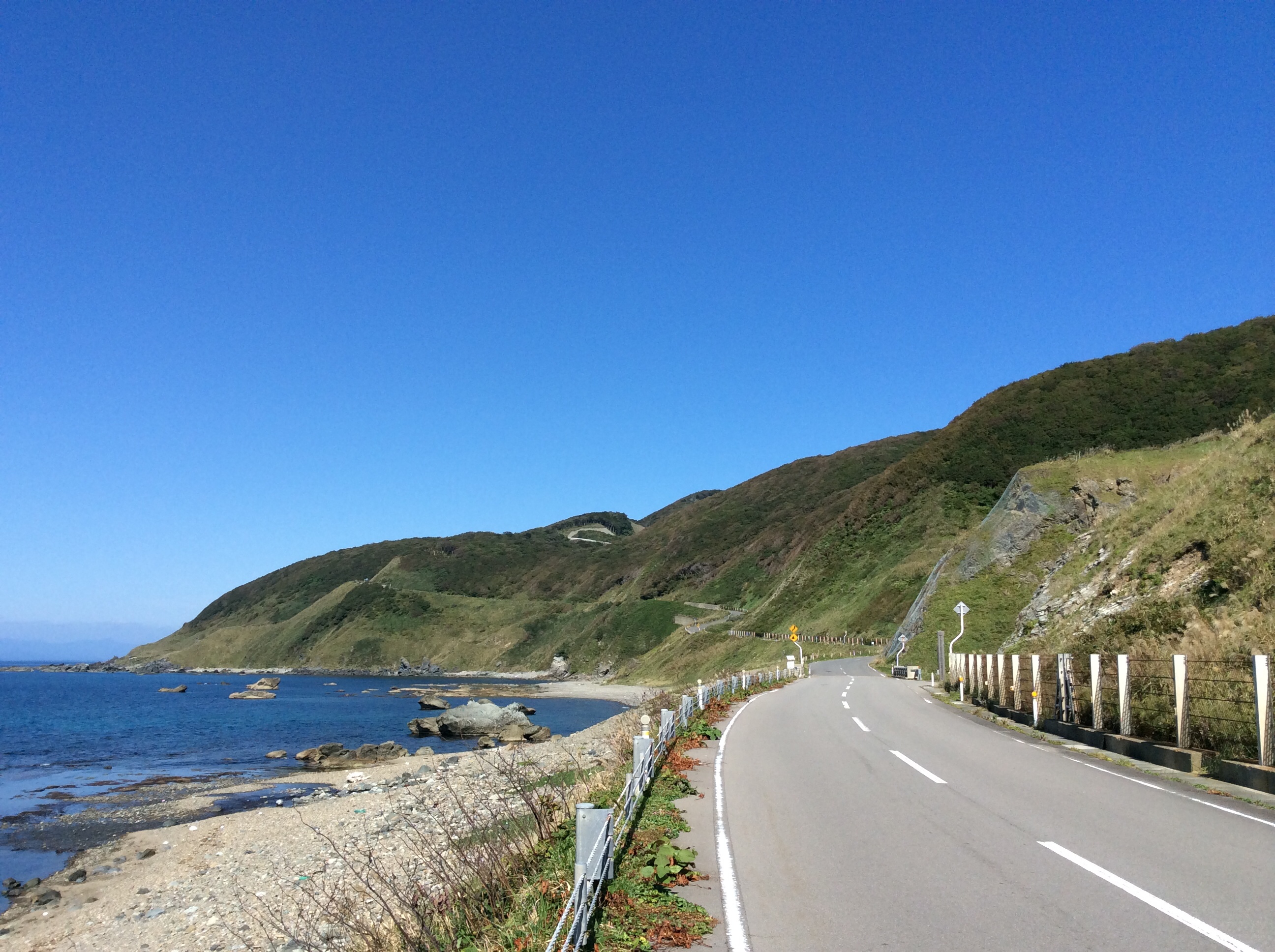
This road gets pretty steep.
Topographic Map of Imabetsu, Higashitsugaru District, Aomori Prefecture, Japan
Find elevation by address:

Places in Imabetsu, Higashitsugaru District, Aomori Prefecture, Japan:
Places near Imabetsu, Higashitsugaru District, Aomori Prefecture, Japan:
Kiyokawa- Ōkawadai, Imabetsu-machi, Higashitsugaru-gun, Aomori-ken -, Japan
Higashitsugaru District
国指定史跡 大平山元遺跡
67 Minmayatatsuhama, Sotogahama-machi, Higashitsugaru-gun, Aomori-ken -, Japan
Kodomari- Kodomari, Nakadomari-machi, Kitatsugaru-gun, Aomori-ken -, Japan
Aiuchi, Goshogawara-shi, Aomori-ken -, Japan
Kitatsugaru District
Nakadomari
Momijizaka- Nakasato, Nakadomari-machi, Kitatsugaru-gun, Aomori-ken -, Japan
Byōbuzan-1- Toyotomichō, Tsugaru-shi, Aomori-ken -, Japan
Shichisekino-84- Kanagichō Kawakura, Goshogawara-shi, Aomori-ken -, Japan
Hatanawa-23 Kizukuridōgizaka, Tsugaru-shi, Aomori-ken -, Japan
番外地
Tachiuchi
Sawarabi Tachiuchi
Kuchiba-12 Kizukuriōbata, Tsugaru-shi, Aomori-ken -, Japan
Goshogawara
Tsugaru
Shiriuchi
Matsumae
Recent Searches:
- Elevation of Lampiasi St, Sarasota, FL, USA
- Elevation of Elwyn Dr, Roanoke Rapids, NC, USA
- Elevation of Congressional Dr, Stevensville, MD, USA
- Elevation of Bellview Rd, McLean, VA, USA
- Elevation of Stage Island Rd, Chatham, MA, USA
- Elevation of Shibuya Scramble Crossing, 21 Udagawacho, Shibuya City, Tokyo -, Japan
- Elevation of Jadagoniai, Kaunas District Municipality, Lithuania
- Elevation of Pagonija rock, Kranto 7-oji g. 8"N, Kaunas, Lithuania
- Elevation of Co Rd 87, Jamestown, CO, USA
- Elevation of Tenjo, Cundinamarca, Colombia