Elevation of IL-71, Sheridan, IL, USA
Location: United States > Illinois > Lasalle County > Mission Township > Sheridan >
Longitude: -88.666572
Latitude: 41.4646189
Elevation: 196m / 643feet
Barometric Pressure: 99KPa
Elevation Map:
Satellite Map:
Related Photos:

Light as a feather

2011-03-26 06.36.23

Rt. 71 Barns

2011-03-26 06.38.15
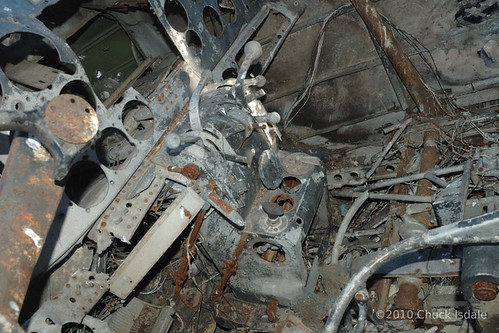
Controls and misc in cockpit
Valley from the top ridge.

2011-03-26 06.31.28
2011-03-26 06.35.56

2011-03-26 06.35.45

2011-03-26 06.36.04
[earth-marathon-blog:01288] 時間。
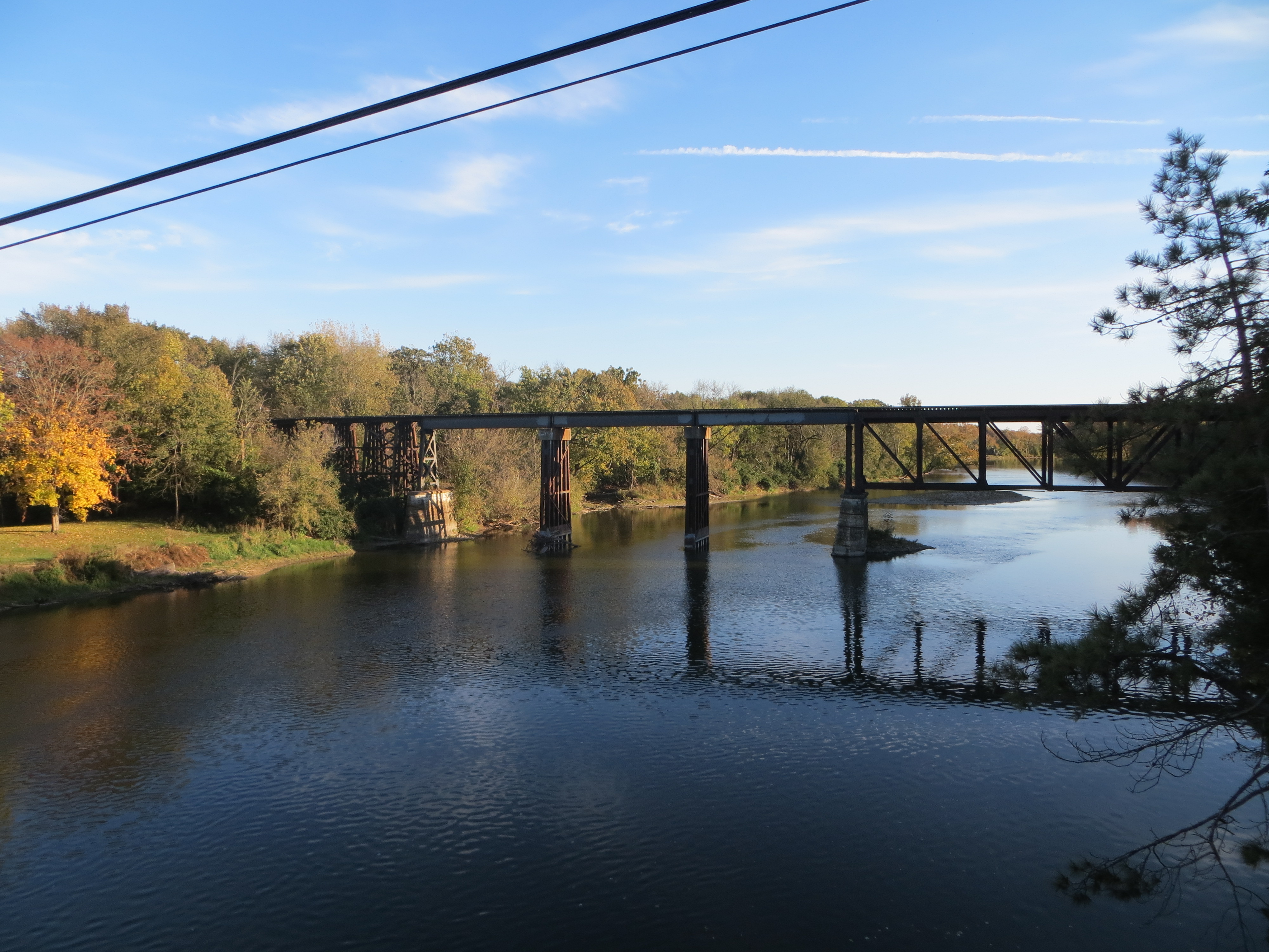
20131027 49 Illinois Railway crossing Fox River
20131028 13 Rural Illinois

Millington Tracks
Water level

Trike landing at sunset
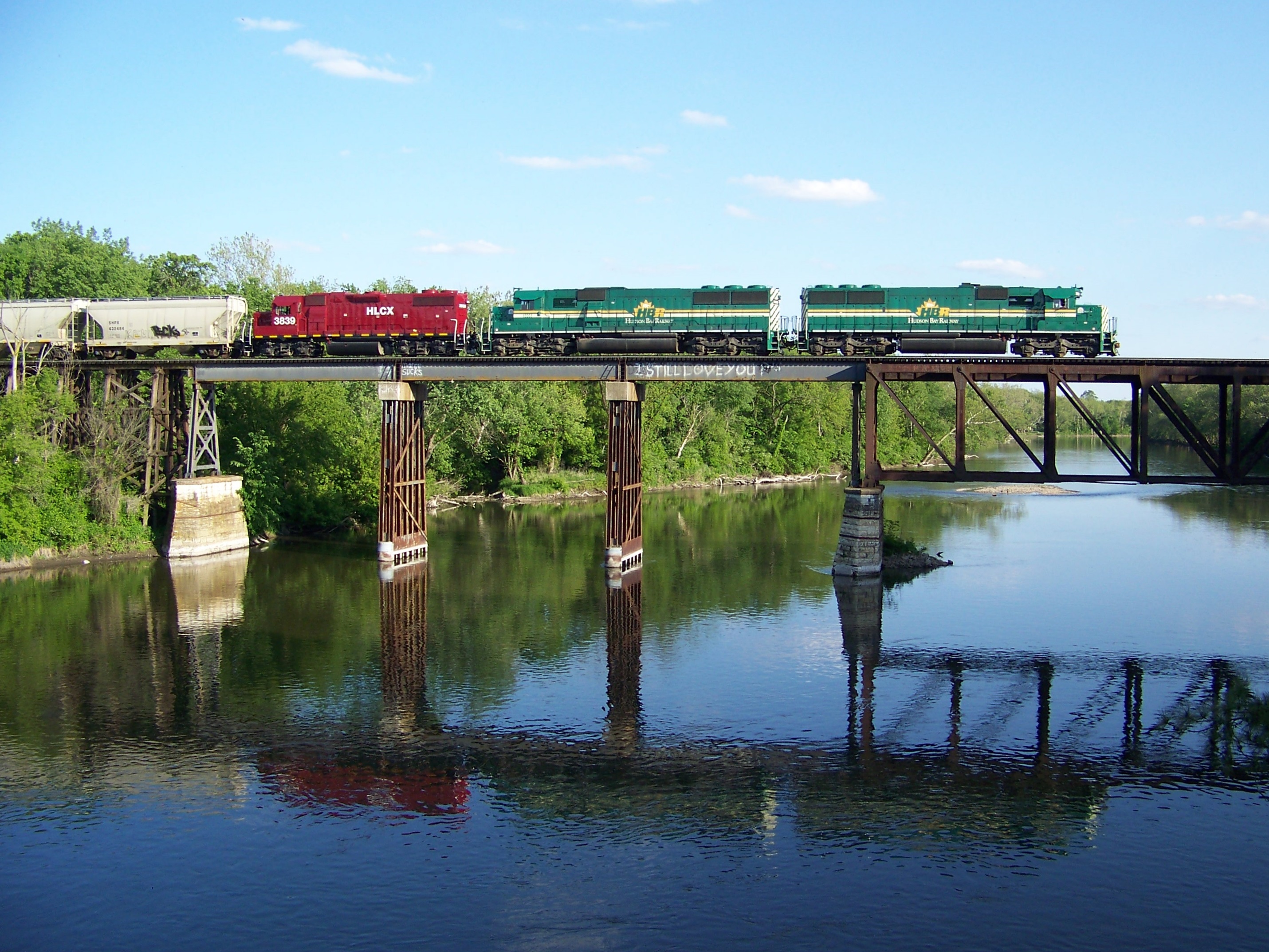
Railnet Reflections

Frozen Tree
41st Rd
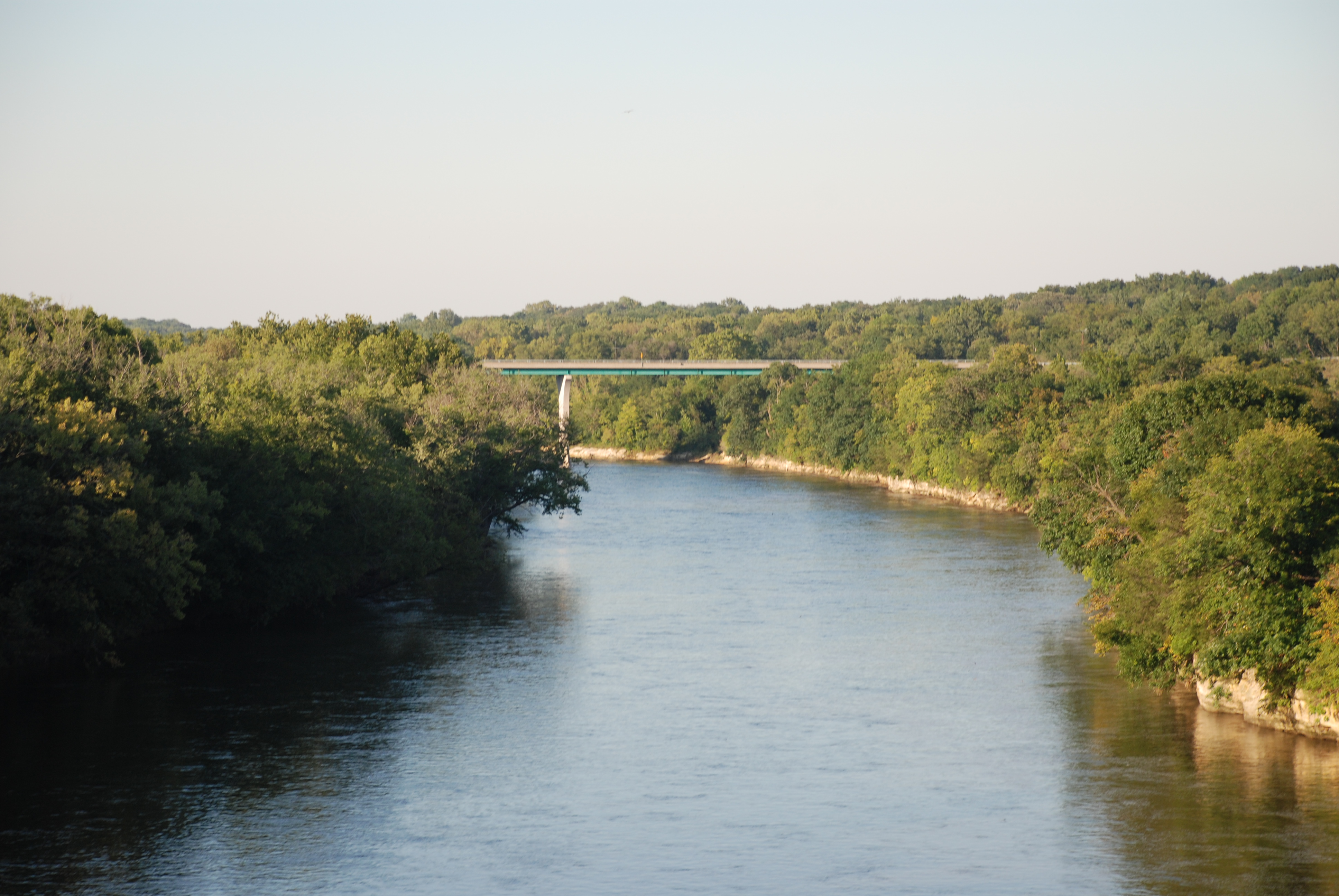
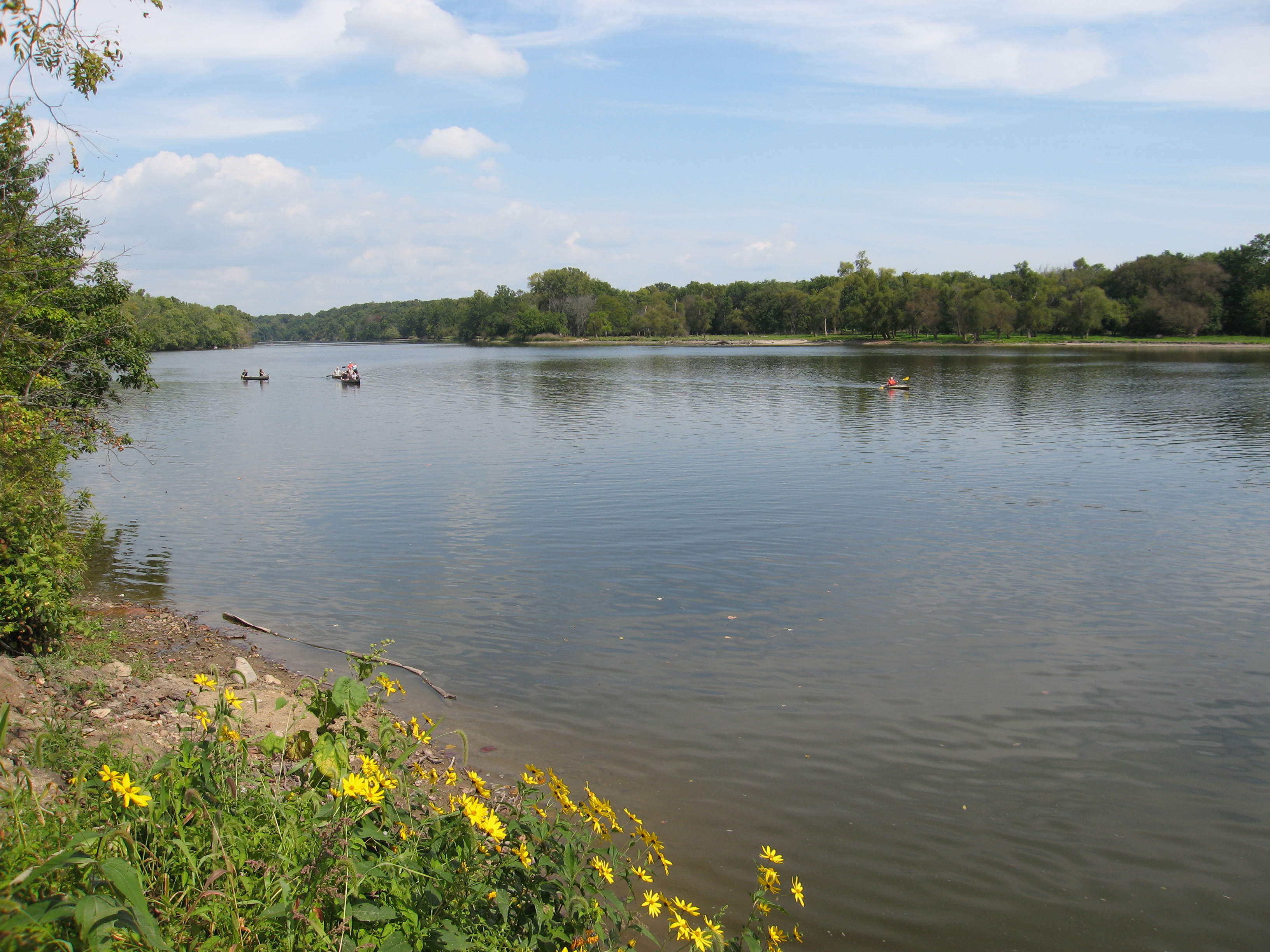
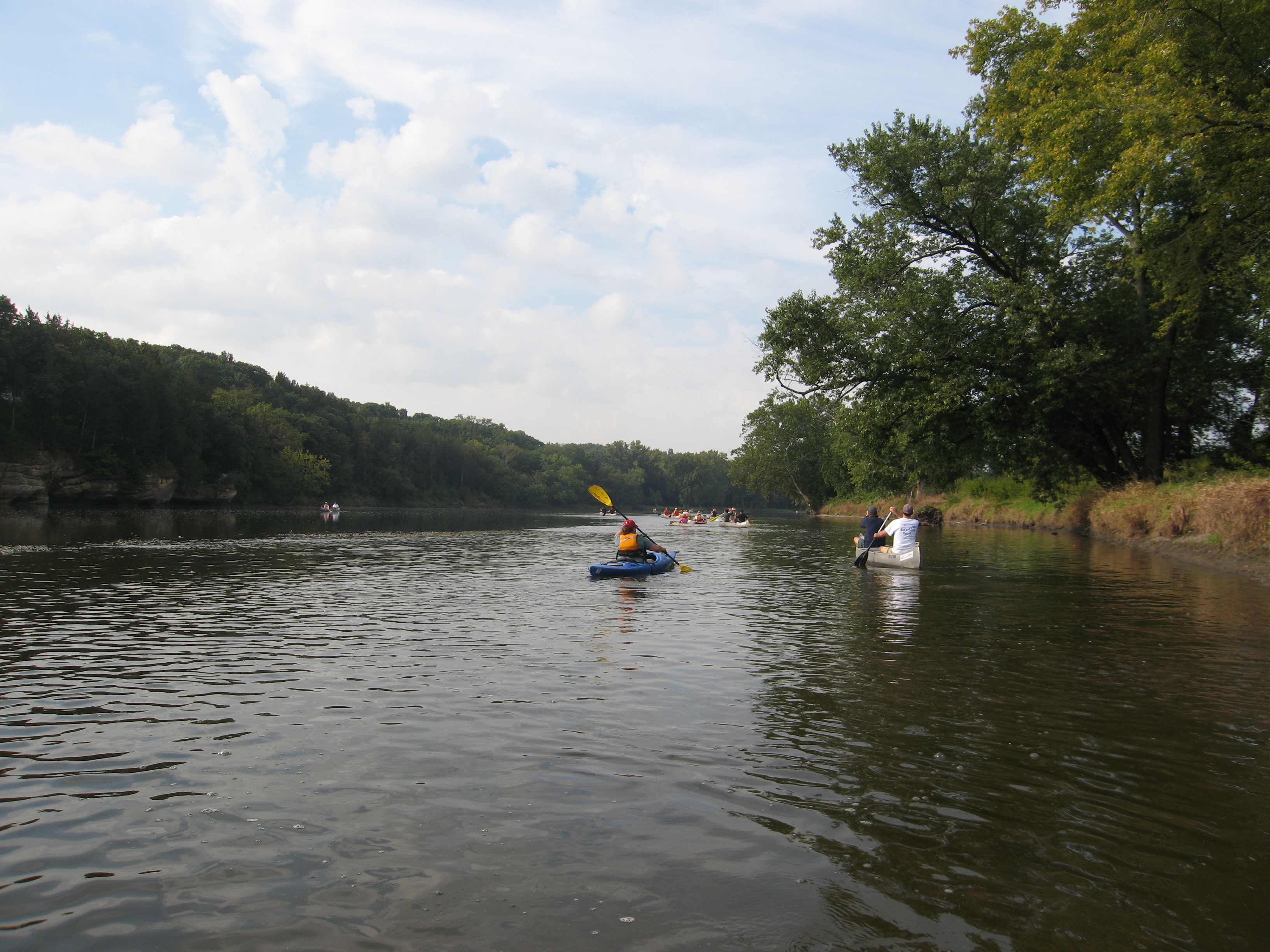
Fox River - Dayton IL

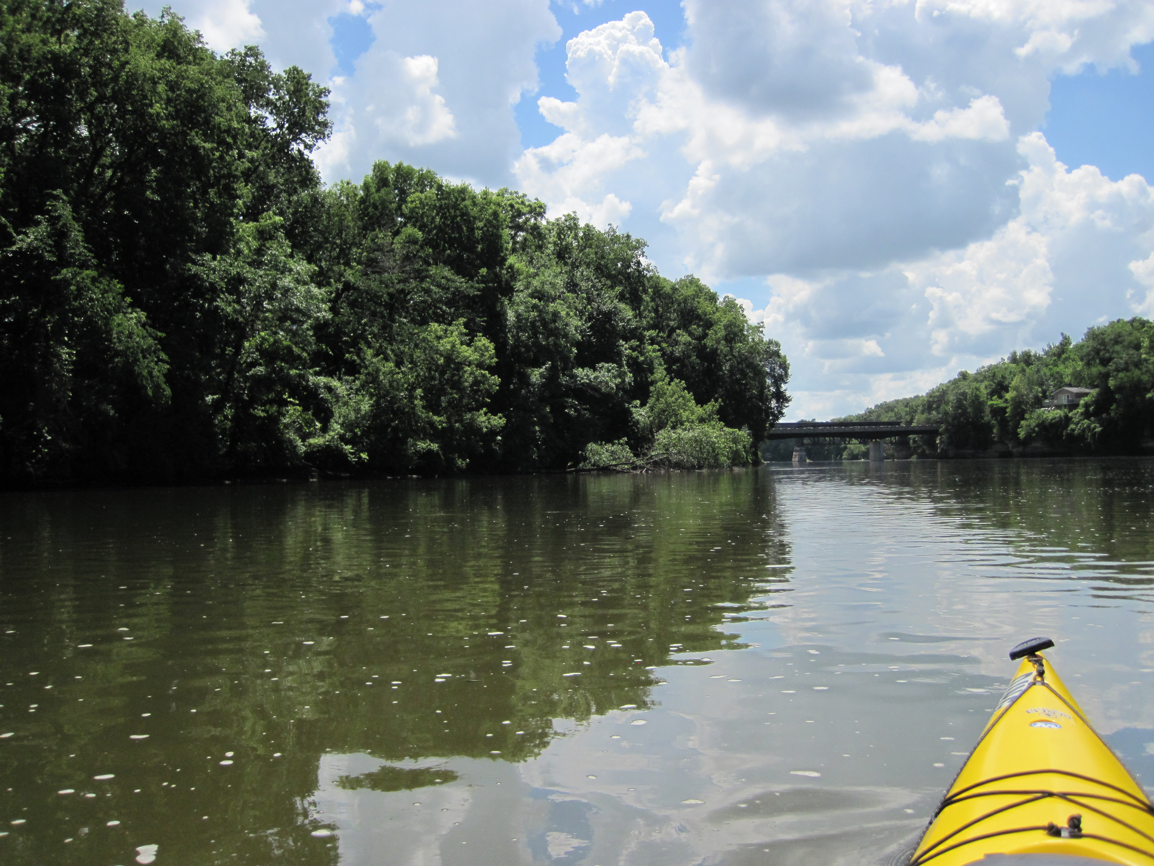
FoxRiverKayak110809-080027
FoxRiverKayak102409-240033
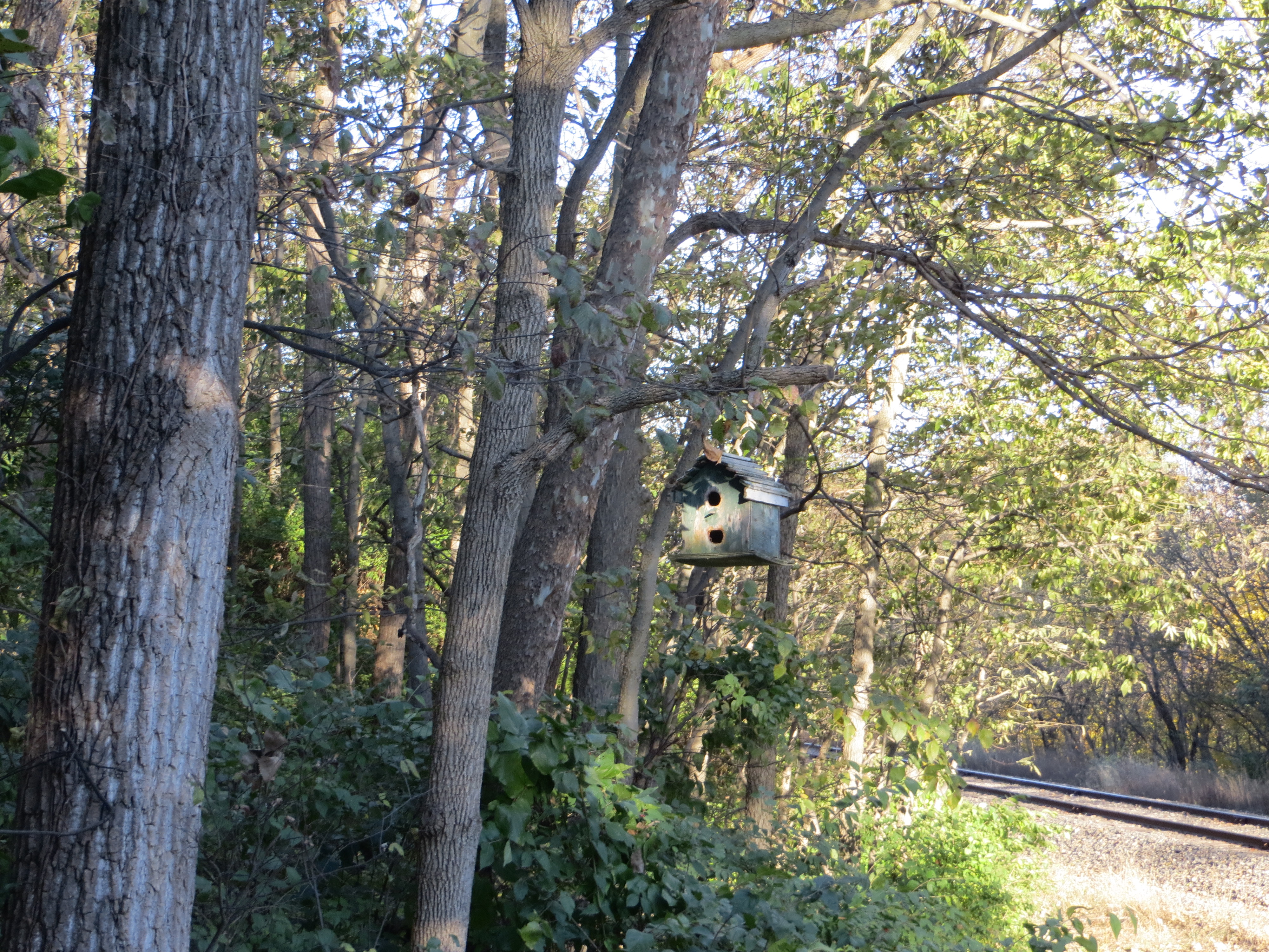
20131027 48 Birdhouse near Sheridan, Illinois

Lois Landing Takeout
090919_033-Shot from the take-out point

Rt. 71 Barns
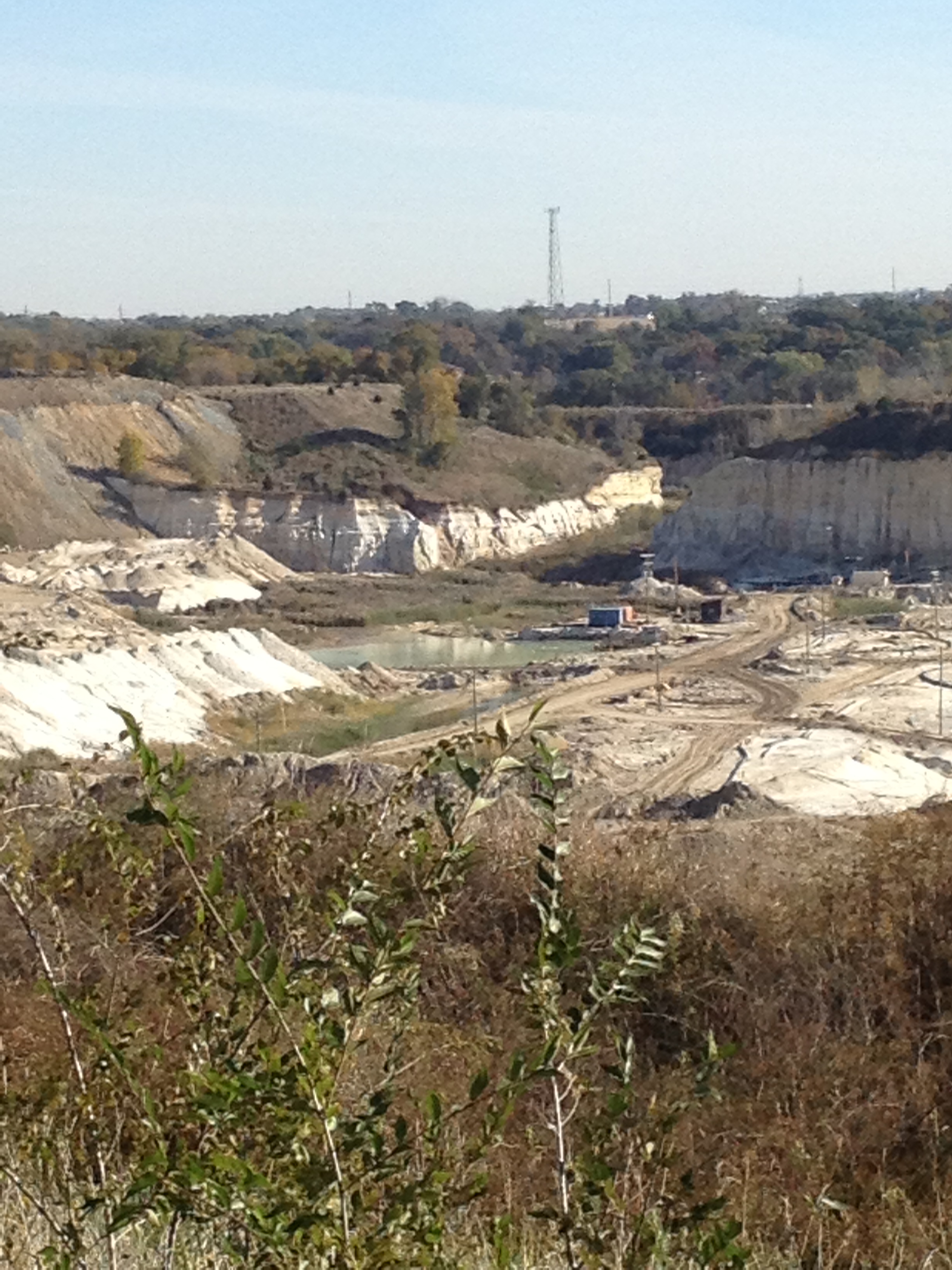
20131027 16 Sandpits near Wedron, Illinois
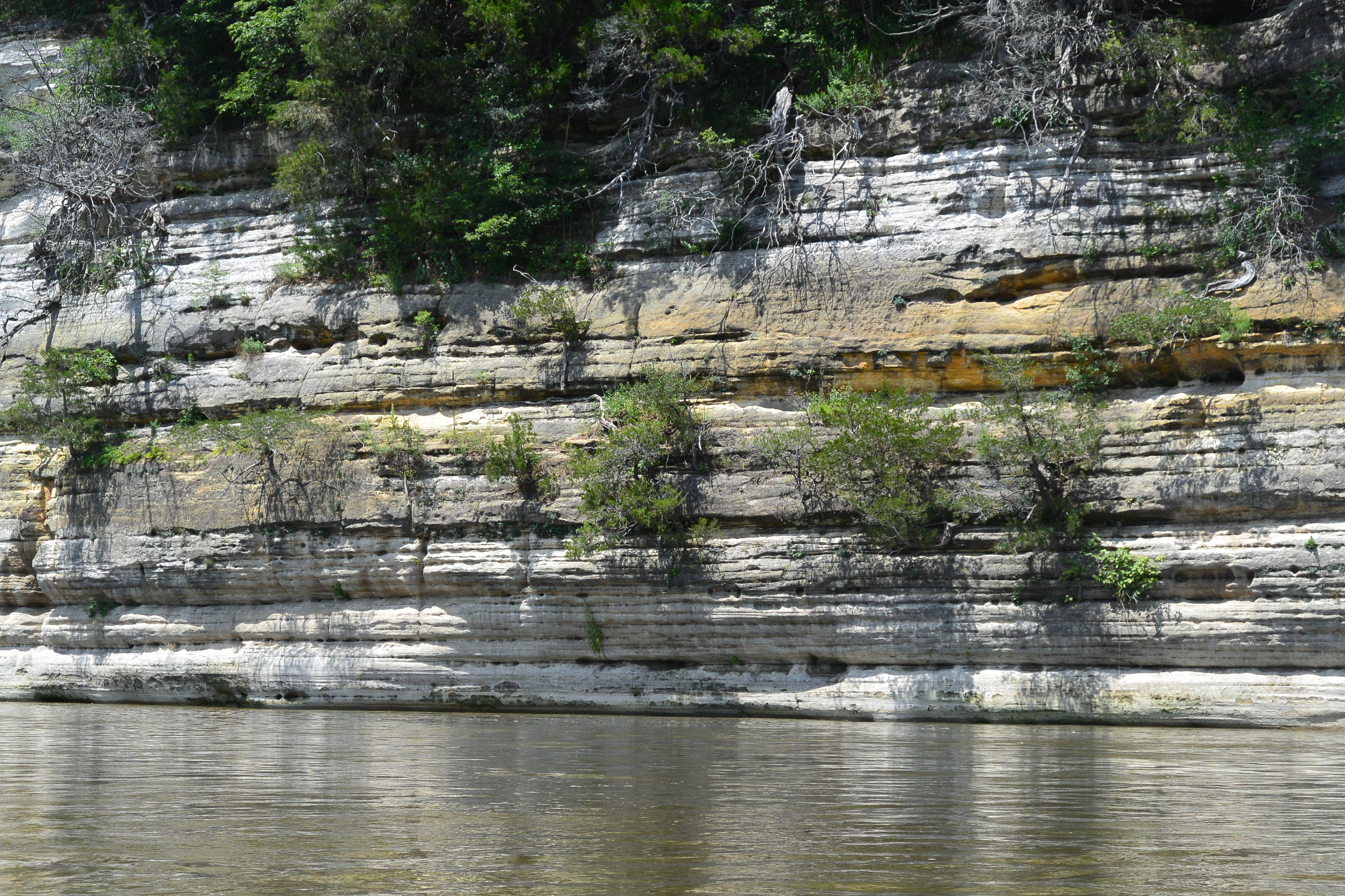
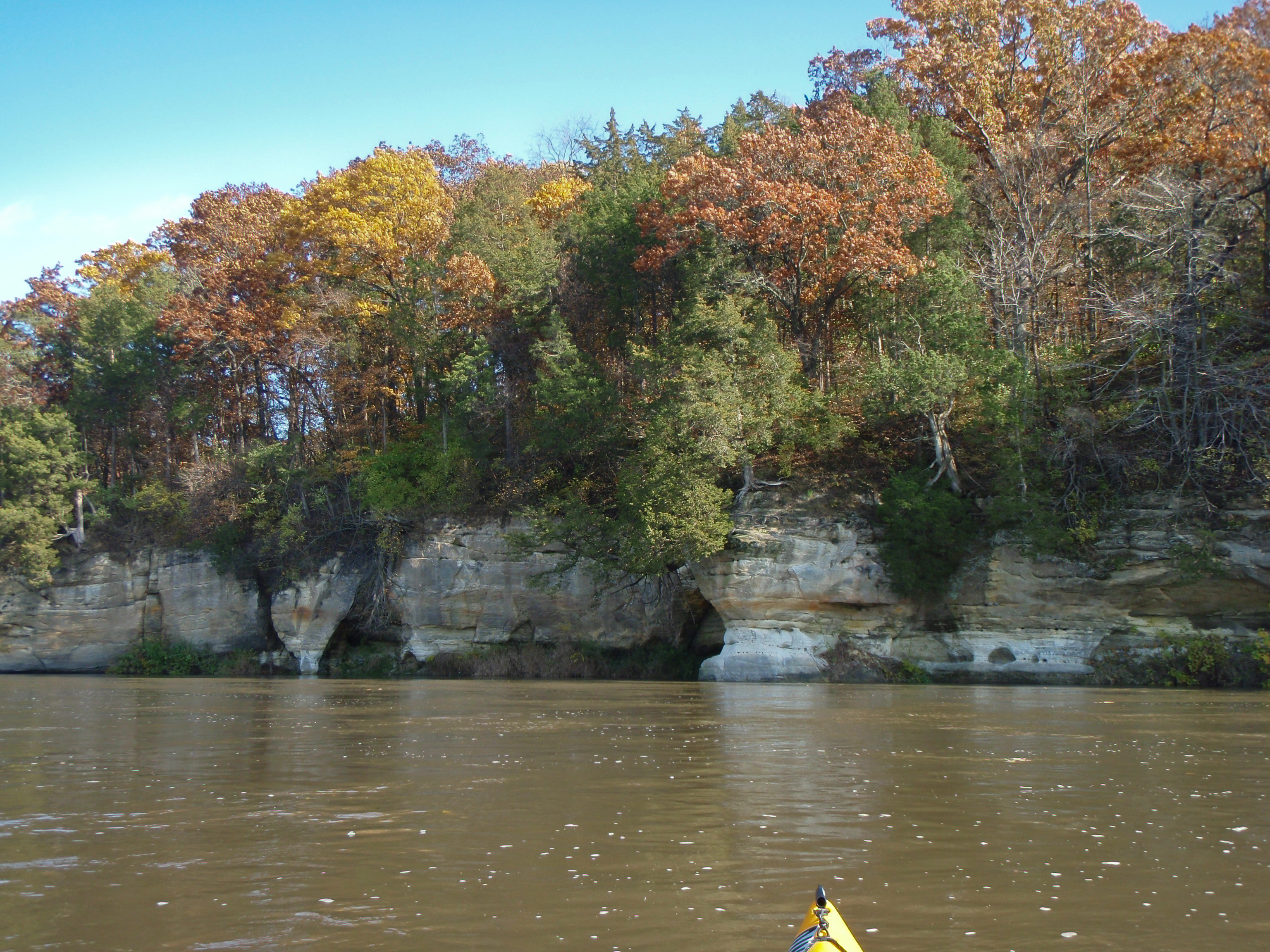
St Peter's Sandstone cliffs
Matthiessen Park Illinois

Rt. 71 Barns
090919_007-On the water
Topographic Map of IL-71, Sheridan, IL, USA
Find elevation by address:

Places near IL-71, Sheridan, IL, USA:
Norway
Miller Township
N 37th Rd, Serena, IL, USA
Stavanger
1120 Carter St
E 28th Rd, Seneca, IL, USA
806 Bratton Ave
Marseilles, IL, USA
Seneca, IL, USA
957 Glen Ave
501 1st Ave
Marseilles
Skydive Chicago
Manlius Township
201 Chicago St
Dayton Township
Seneca
1 W Union St, Seneca, IL, USA
Miller & Co
733 E Main St
Recent Searches:
- Elevation of Blattner Rd, Philo, CA, USA
- Elevation of Polzela, Slovenia
- Elevation of Gorod Kislovodsk, Stavropol Krai, Russia
- Elevation of Kislovodsk, Stavropol Krai, Russia
- Elevation of Eagle Stone Drive, Eagle Stone Dr, The Preserve at Corkscrew, FL, USA
- Elevation of Formby Ct, Myrtle Beach, SC, USA
- Elevation of Hobbyhorse Ct, Dover, DE, USA
- Elevation of Horseshoe Ln, Dahlonega, GA, USA
- Elevation of Village Point Dr, Daphne, AL, USA
- Elevation map of Kabardino-Balkarian Republic, Russia