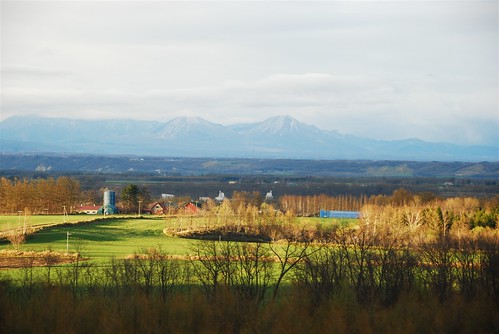
Elevation of Ikutora, Minamifurano, Sorachi District, Hokkaido -, Japan
Location: Japan > Hokkaido Prefecture > Sorachi District > Minamifurano >
Longitude: 142.586785
Latitude: 43.166912
Elevation: 383m / 1257feet
Barometric Pressure: 97KPa
Elevation Map:
Satellite Map:
Related Photos:
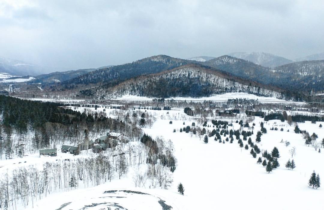
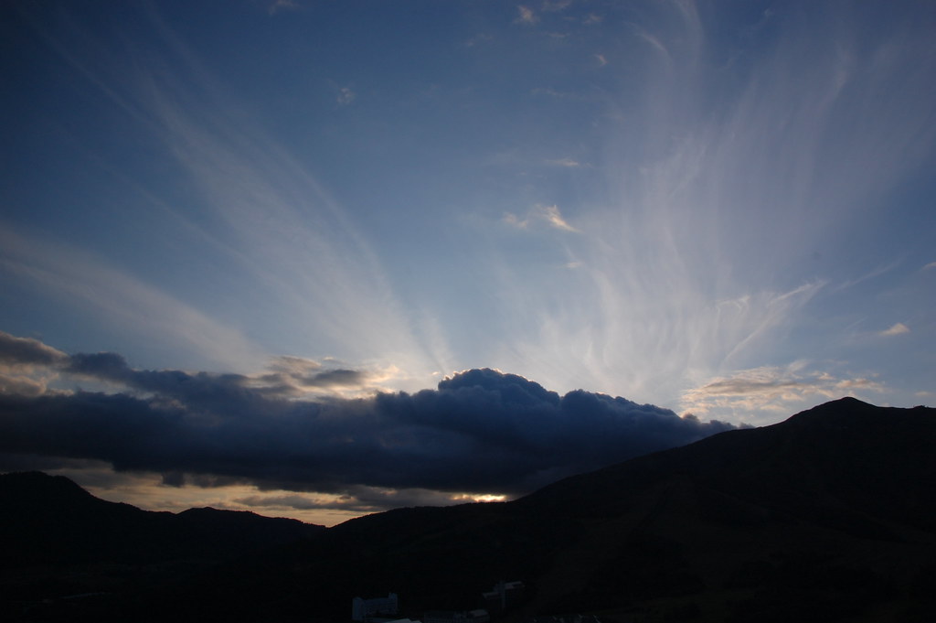
View from my today's window ❄️

[iphone photo] Sea of clouds
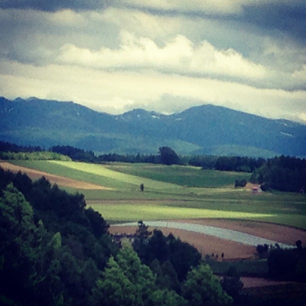
午後/此刻窗景。❄️❄️❄️❄️❄️ View from my hotel room this afternoon (/now).

午間窗景。View from my hotel room this noon. ????????✨
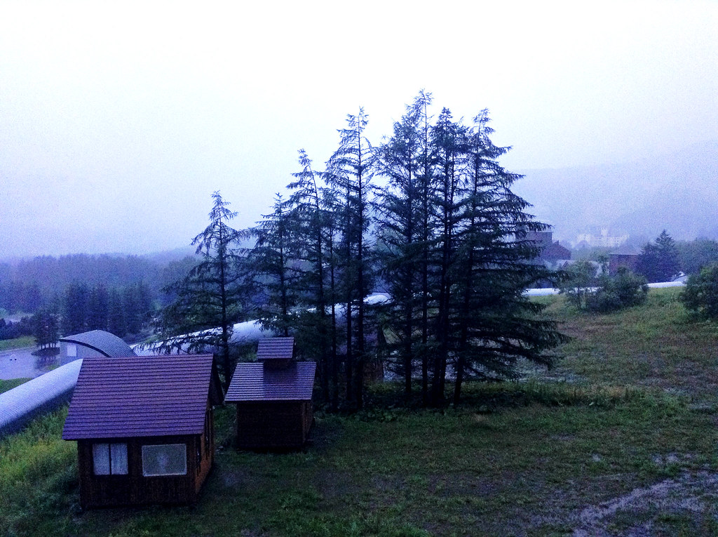
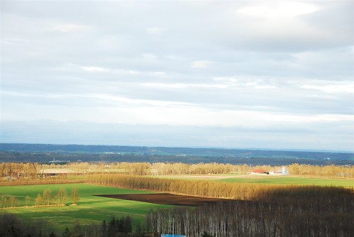
Thick Fog

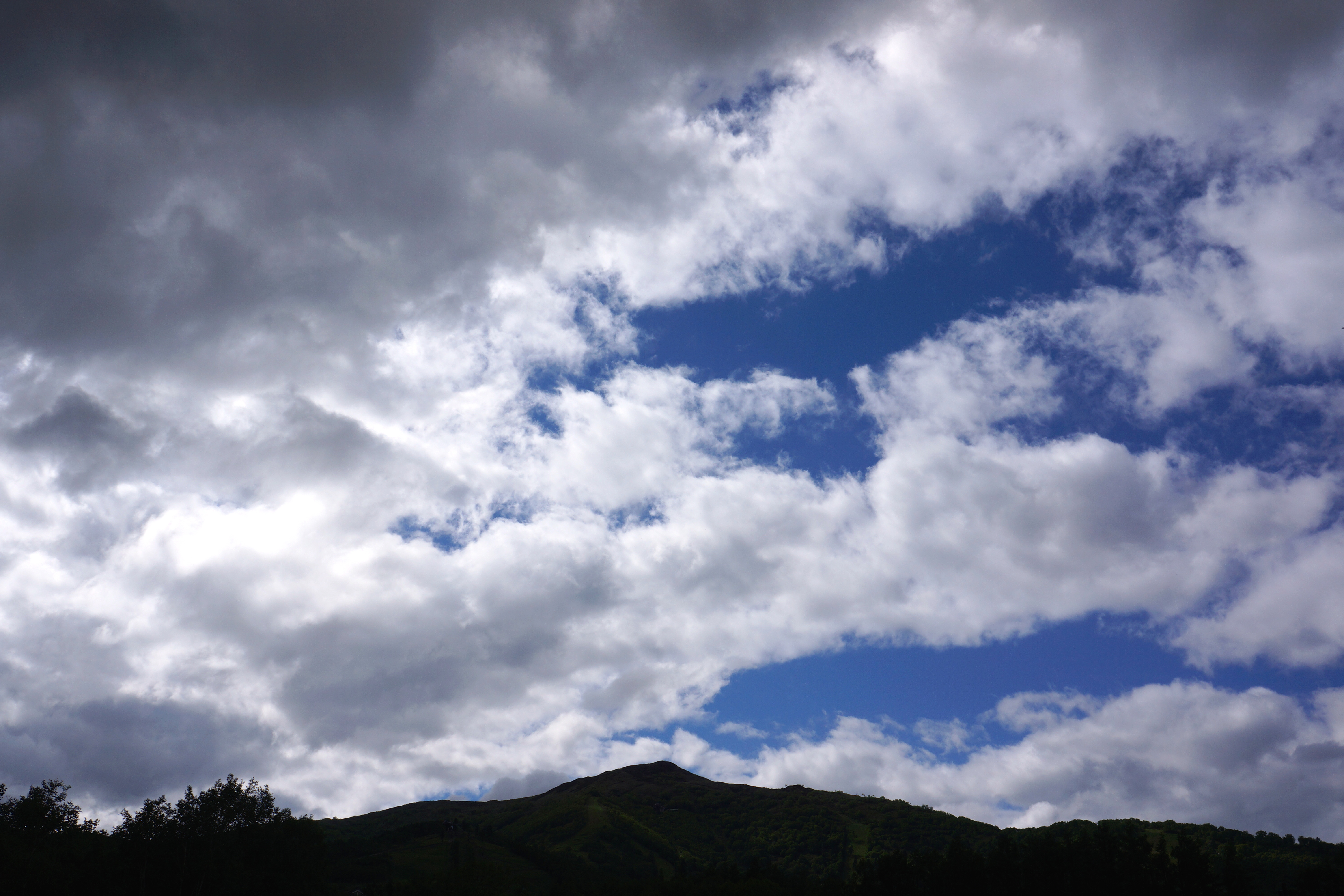
雲海テラス / UNKAI TERRACE
トマム
ひかり
492535261763824242_997969720130815-3361-kc7ma4

492531099495918142_997969720130815-3361-19q6pze
DSC_7546.JPG
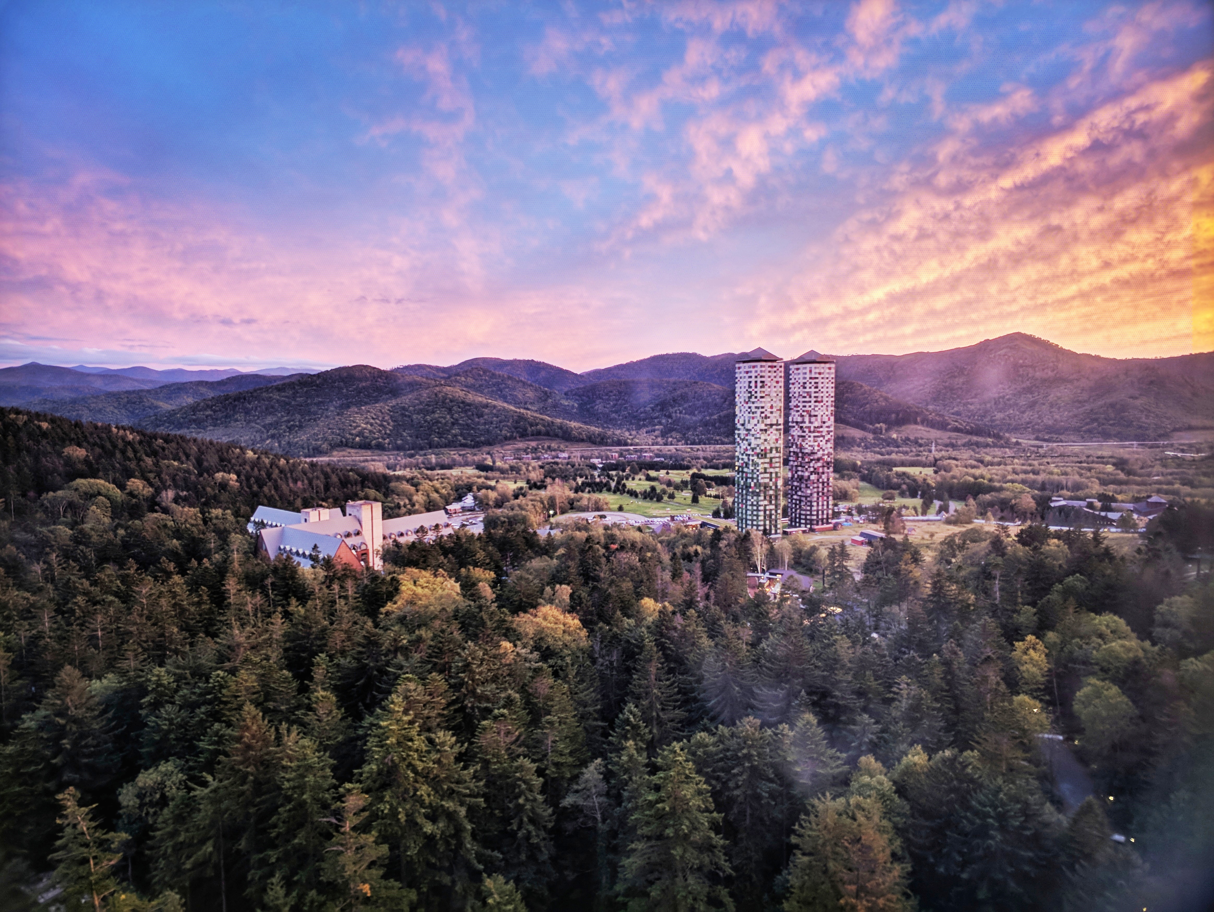
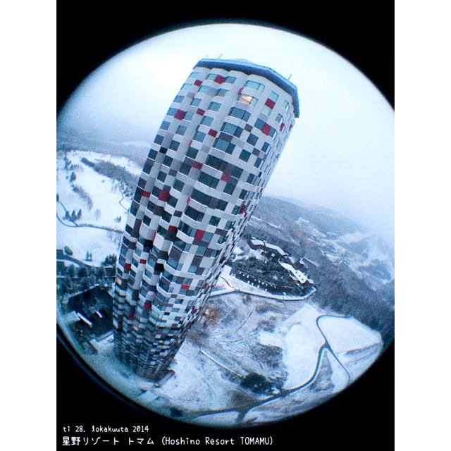
Tomamu the Towers

DSC_7542.JPG
DSC_7542.JPG
HOKKAIDO (802)

The Tower!!!

美瑛 富良野
1709-_0009
Topographic Map of Ikutora, Minamifurano, Sorachi District, Hokkaido -, Japan
Find elevation by address:

Places near Ikutora, Minamifurano, Sorachi District, Hokkaido -, Japan:
Minamifurano
-5 Ikutora, Minamifurano-chō, Sorachi-gun, Hokkaidō -, Japan
Fukiage
Shintoku
1 Asahimachi
Mount Tokachi
Furano Natulux Hotel
16 Gō-27 Higashi 6 Senkita, Kamifurano-chō, Sorachi-gun, Hokkaidō -, Japan
Furano
La Vista Furano Hillshot Springs
5 Asahimachi
4-19 Katsuragichō, Furano-shi, Hokkaidō -, Japan
New Furano Prince Hotel
Furano Lofts And Chalet
12 Go
23 Kitanominecho
Hitohana
20 Kitanominecho
Fuyunoki
Nakagoryo
Recent Searches:
- Elevation of 6 Rue Jules Ferry, Beausoleil, France
- Elevation of Sattva Horizon, 4JC6+G9P, Vinayak Nagar, Kattigenahalli, Bengaluru, Karnataka, India
- Elevation of Great Brook Sports, Gold Star Hwy, Groton, CT, USA
- Elevation of 10 Mountain Laurels Dr, Nashua, NH, USA
- Elevation of 16 Gilboa Ln, Nashua, NH, USA
- Elevation of Laurel Rd, Townsend, TN, USA
- Elevation of 3 Nestling Wood Dr, Long Valley, NJ, USA
- Elevation of Ilungu, Tanzania
- Elevation of Yellow Springs Road, Yellow Springs Rd, Chester Springs, PA, USA
- Elevation of Rēzekne Municipality, Latvia