Elevation of ID-54, Athol, ID, USA
Location: United States > Idaho > Kootenai County > Athol >
Longitude: -116.70775
Latitude: 47.948059
Elevation: 729m / 2392feet
Barometric Pressure: 93KPa
Elevation Map:
Satellite Map:
Related Photos:
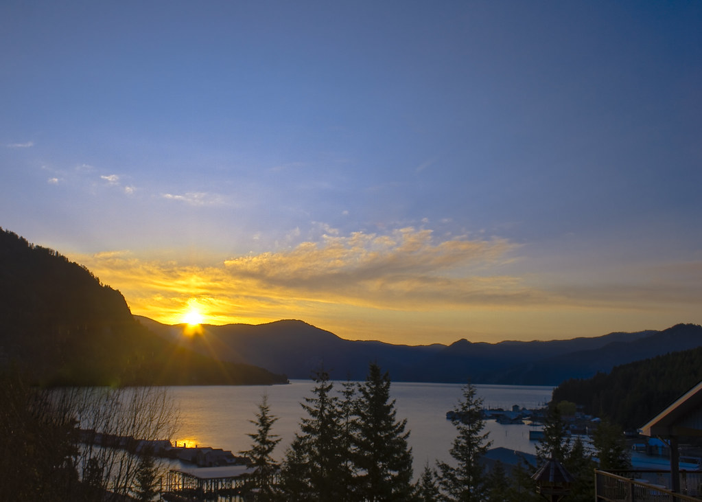
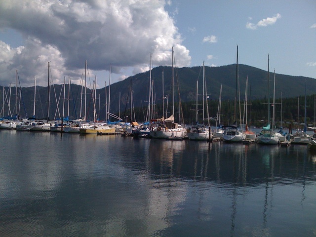
Bayview Sunrise 5.20am HDR
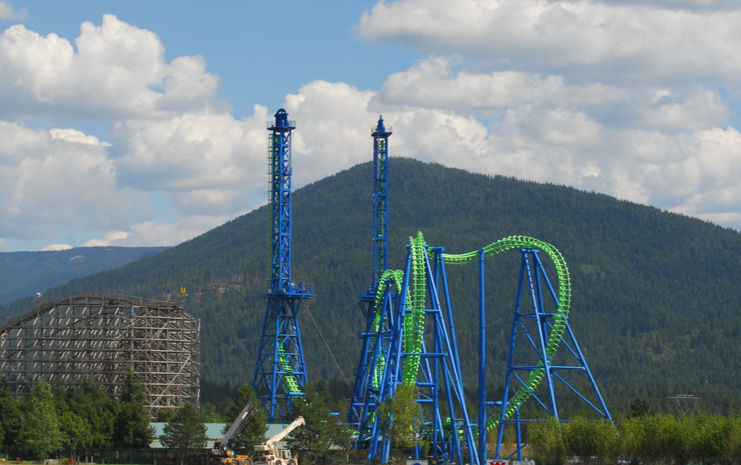
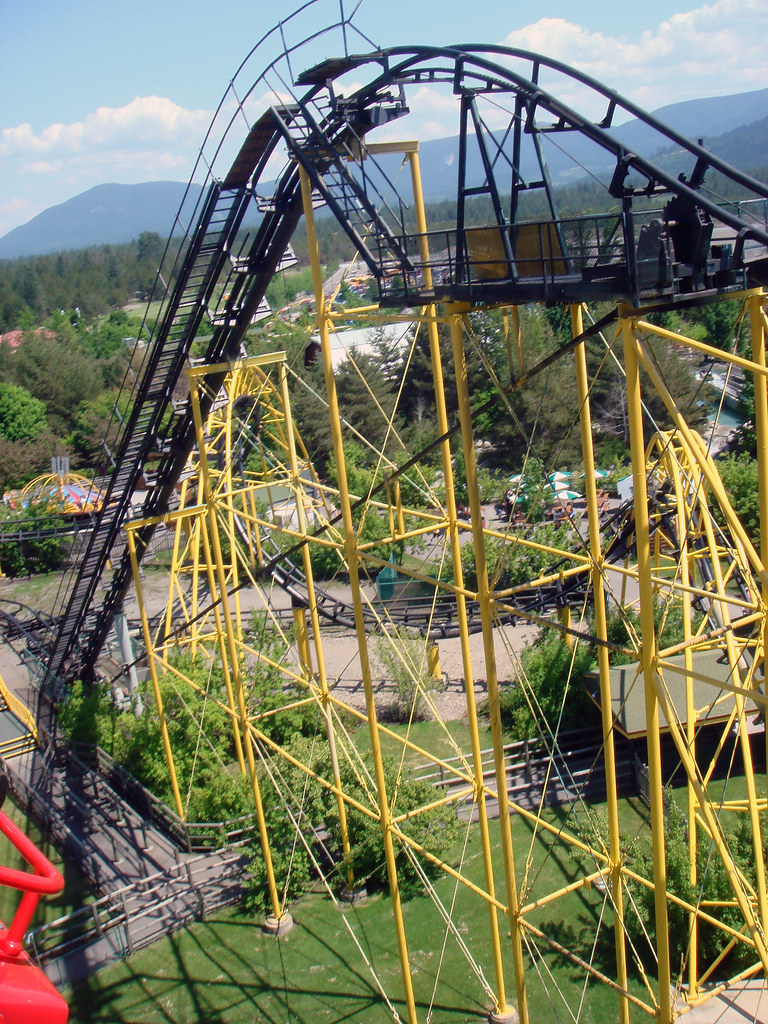
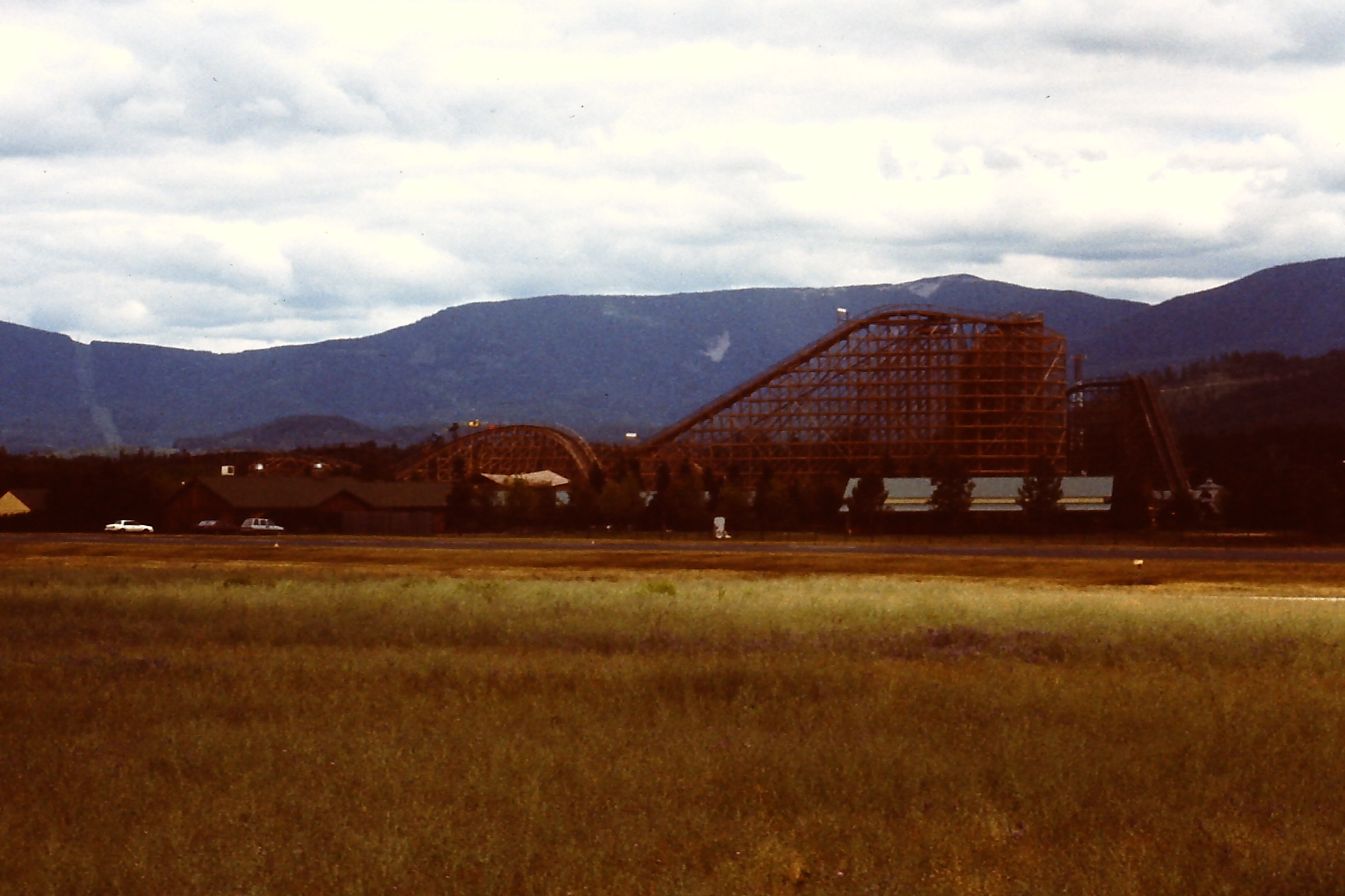
Silverwood Roller Coasters
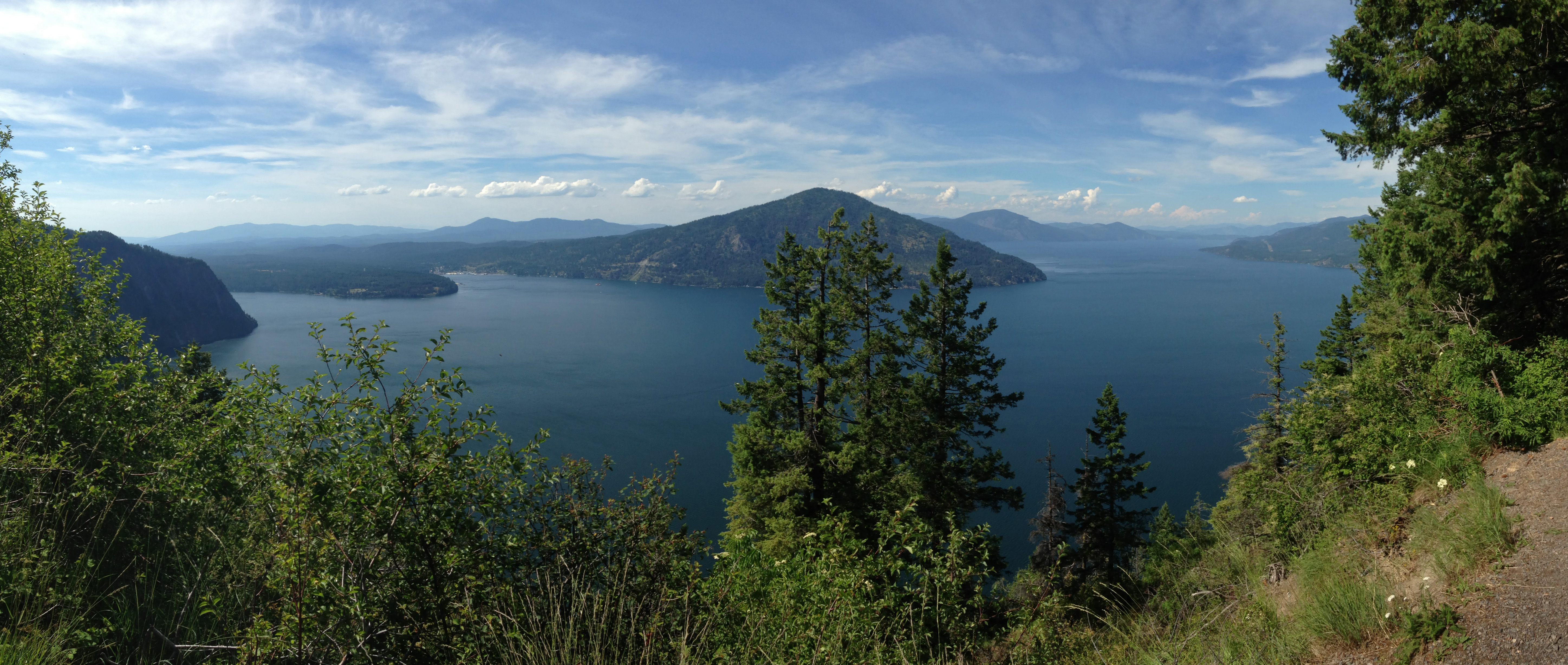
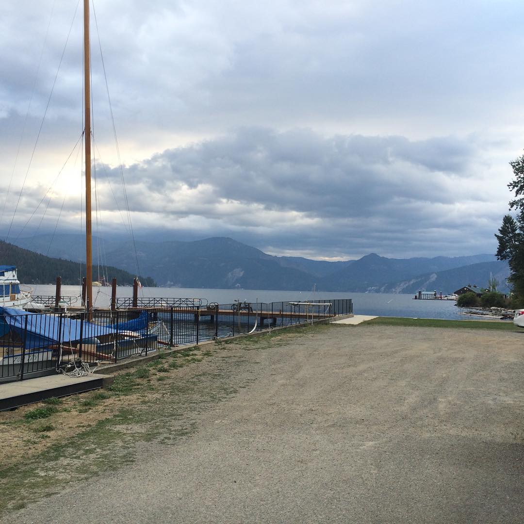
Lake Pend Oreille, Idaho - 2014
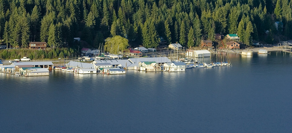
McDonald's Resort, Bayview, ID
Great View!
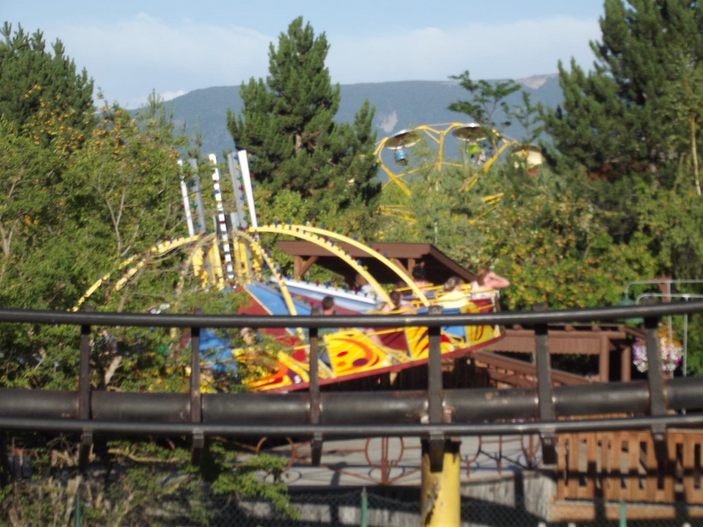
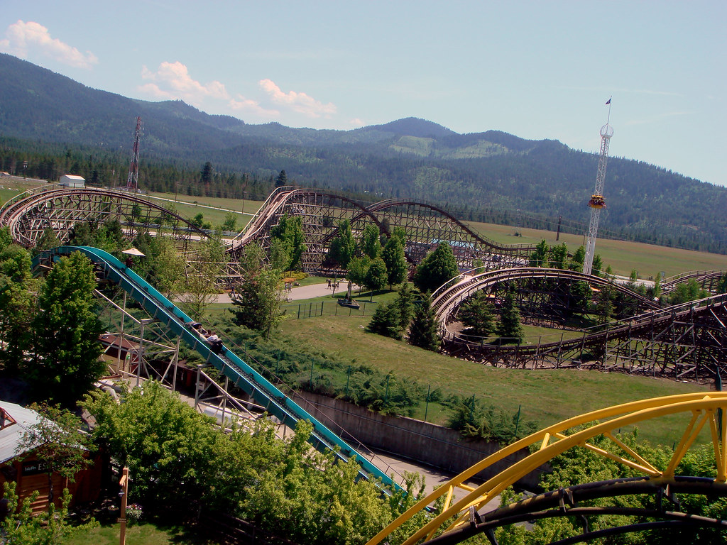
Silverwood Amusement Park
Quite a view out here

looking northeast towards Cabinets from Chilco Mountain Trail, Idaho

Snowbank on South Chilco Mountain, Idaho

Looking northeast towards Cabinets from Chilco Mountain, Idaho

Looking towards Lake Pend Oreille from Chilco Mountain, Idaho

Looking southwest from Chilco Mountain, Chilco Mountain Trail, Idaho

Chilco Mountain, Chilco Mountain Trail, Idaho
Aug 31, 2008

Top of South Chilco, Idaho

Ridgeline on Chilco Mountain Trail, Idaho

Looking towards Cabinets from Chilco Mountain Trail, Idaho

looking southwest from South Chilco Mountain, Idaho

Looking north towards Lake Pend Oreille, Chilco Mountain Trail, Idaho
USSP07181999 - 13

South Chilco Mountain, Idaho

South Chilco Mountain, Idaho
Silverwood 018

Bayview (HDR)

South Chilco from Chilco Mountain, Chilco Mountain Trail, Idaho

On the way to Sandpoint
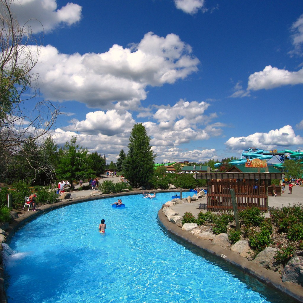
Silverwood Tubing River
Topographic Map of ID-54, Athol, ID, USA
Find elevation by address:

Places near ID-54, Athol, ID, USA:
Athol
27858 N Parkridge Rd
Careywood
1103 Huckleberry Mountain Rd
Bayview
221 Dinkum Faire
17502 E North Shore Ln
Cocolalla
Spyglass Hill Rd, Careywood, ID, USA
215 Monteval Rd
95 Trickle Creek
Otts Road
816 Red Cloud Rd
Sagle
82 Lodge Ln, Sagle, ID, USA
3315 Wrenco Loop
40 Big Burl Rd
Tank Hill
Dover
3819 Sagle Rd
Recent Searches:
- Elevation of Corso Fratelli Cairoli, 35, Macerata MC, Italy
- Elevation of Tallevast Rd, Sarasota, FL, USA
- Elevation of 4th St E, Sonoma, CA, USA
- Elevation of Black Hollow Rd, Pennsdale, PA, USA
- Elevation of Oakland Ave, Williamsport, PA, USA
- Elevation of Pedrógão Grande, Portugal
- Elevation of Klee Dr, Martinsburg, WV, USA
- Elevation of Via Roma, Pieranica CR, Italy
- Elevation of Tavkvetili Mountain, Georgia
- Elevation of Hartfords Bluff Cir, Mt Pleasant, SC, USA