Elevation of ID-11, Pierce, ID, USA
Location: United States > Idaho > Clearwater County >
Longitude: -115.813059
Latitude: 46.5744169
Elevation: 1045m / 3428feet
Barometric Pressure: 0KPa
Related Photos:

Sunset from FL310 [Explored]
Last sight
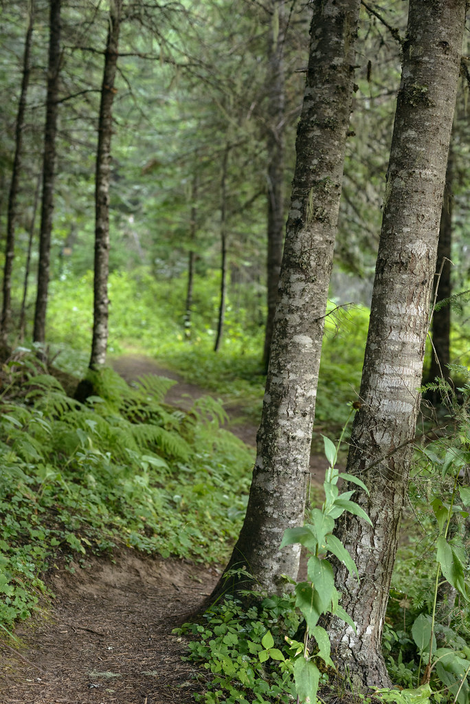
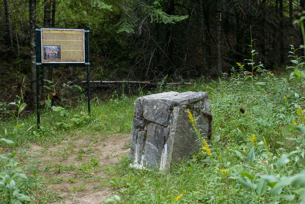
Dead men in a forest
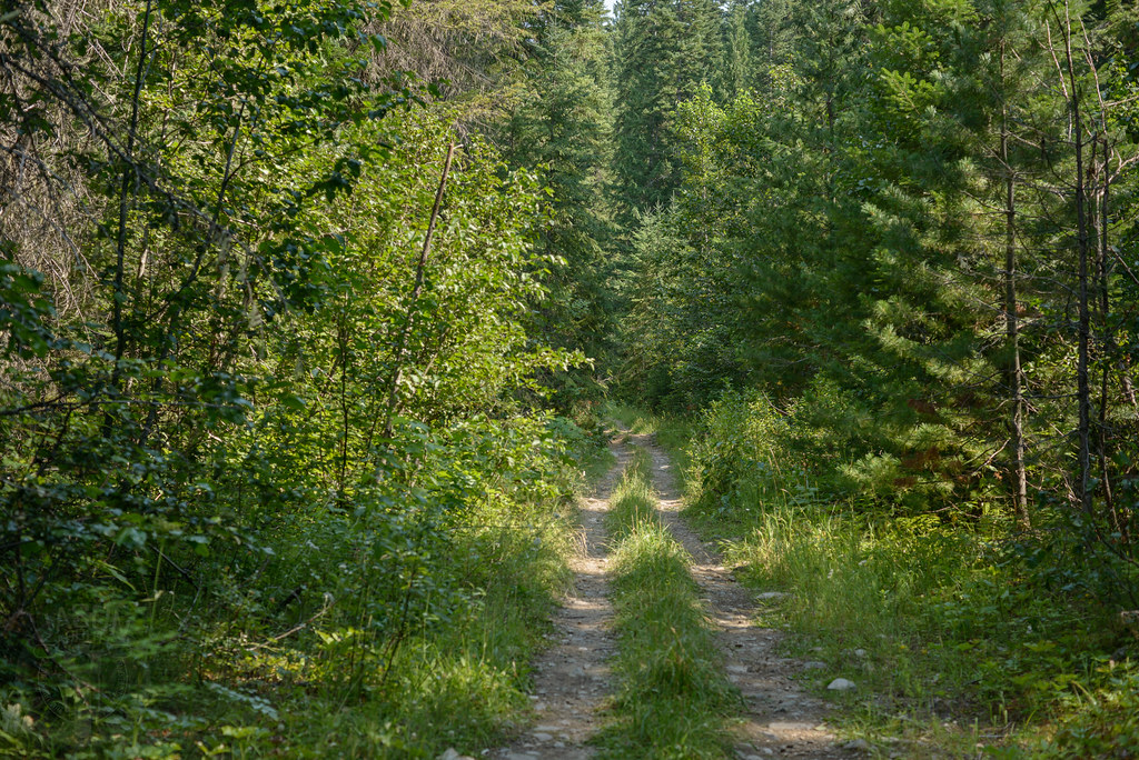
Clearwater Gulch
Items for the afterlife
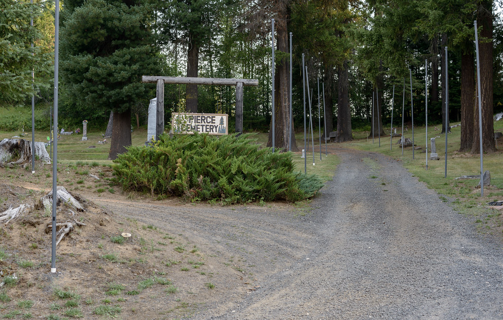
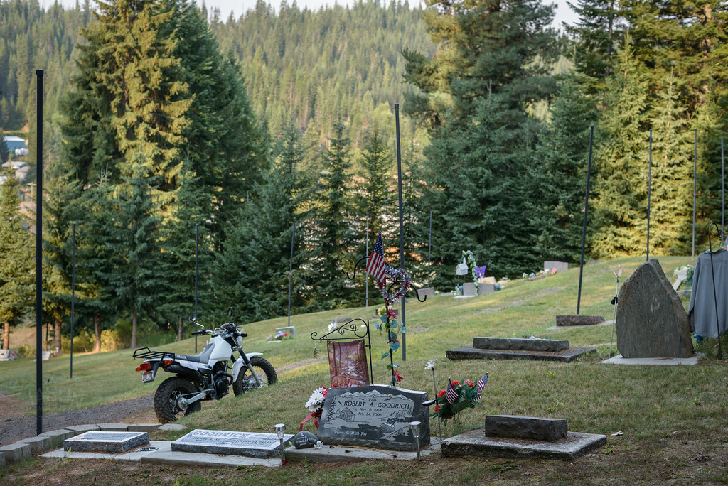
Pierce Cemetery
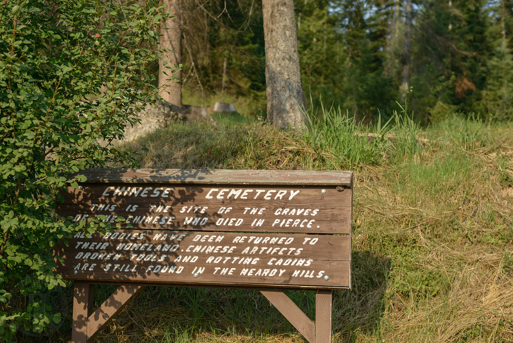
Chinese Cemetery
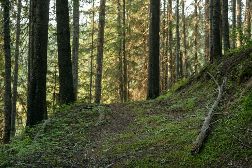
Black pines
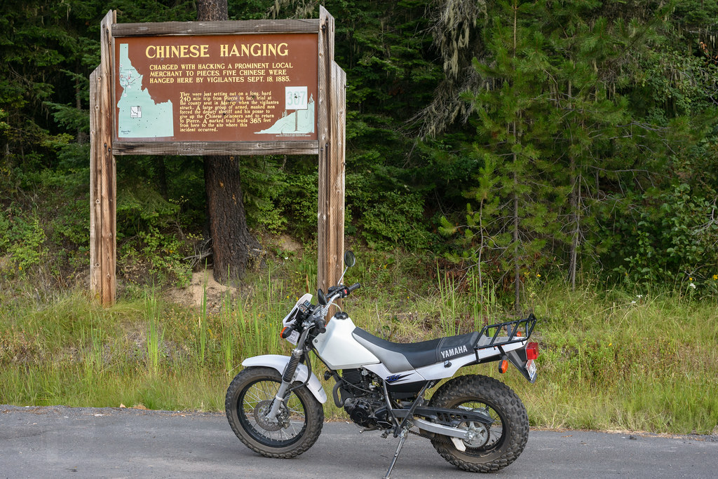
Chinese Hanging
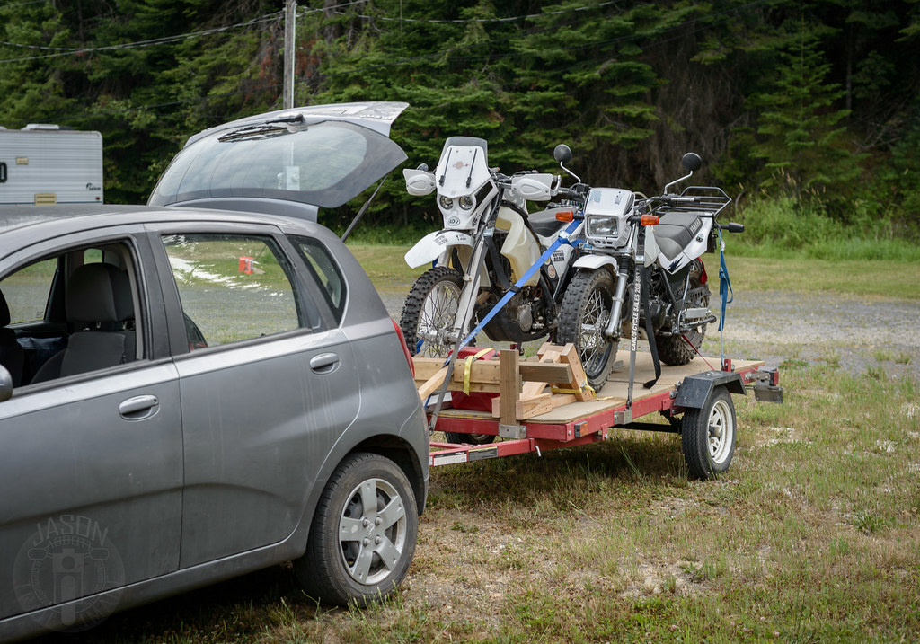
Home for the night
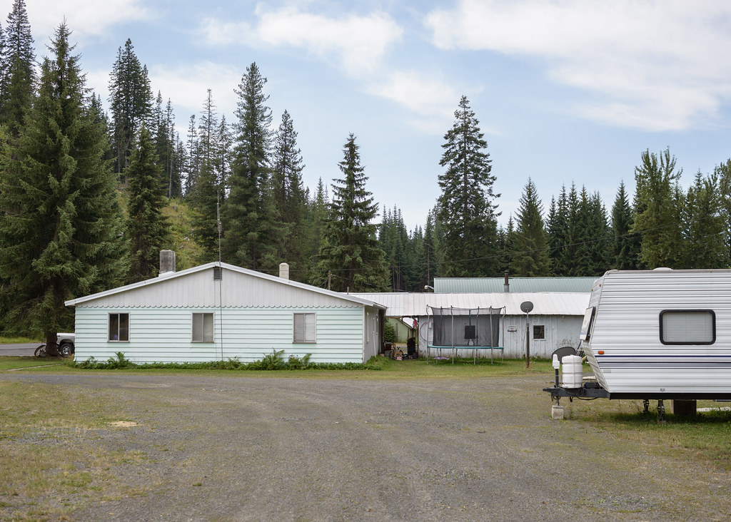
RV Park
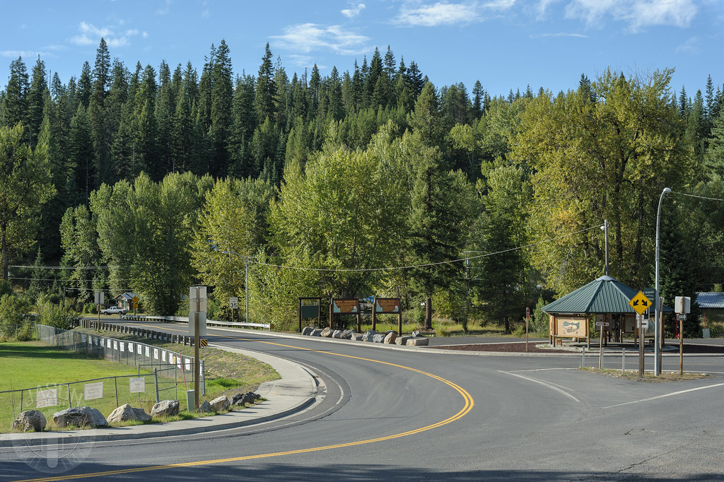
Entering Pierce
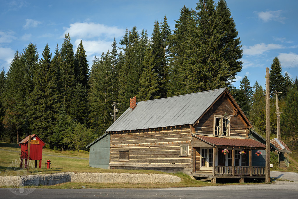
Through Headquarters
Topographic Map of ID-11, Pierce, ID, USA
Find elevation by address:

Places near ID-11, Pierce, ID, USA:
ID-11, Pierce, ID, USA
Pierce
French Mountain Rd, Pierce, ID, USA
Grangemont Rd, Orofino, ID, USA
18565 Upper Fords Creek Rd
18565 Upper Fords Creek Rd
18565 Upper Fords Creek Rd
Idaho, USA
Rudo Rd, Orofino, ID, USA
Black Bear Road
115 Mountain Lovers Ln
Clearwater County
Johnson Mill Rd, Orofino, ID, USA
Huckleberry Butte Road
Huckleberry Butte, Orofino, ID, USA
7481 Upper Fords Creek Rd
Dent Bridge Rd, Orofino, ID, USA
1499 Dent Bridge Rd
Tom Ho Rd, Lenore, ID, USA
Old Dent Rd, Orofino, ID, USA
Recent Searches:
- Elevation of Sullivan Hill, New York, New York, 10002, USA
- Elevation of Morehead Road, Withrow Downs, Charlotte, Mecklenburg County, North Carolina, 28262, USA
- Elevation of 2800, Morehead Road, Withrow Downs, Charlotte, Mecklenburg County, North Carolina, 28262, USA
- Elevation of Yangbi Yi Autonomous County, Yunnan, China
- Elevation of Pingpo, Yangbi Yi Autonomous County, Yunnan, China
- Elevation of Mount Malong, Pingpo, Yangbi Yi Autonomous County, Yunnan, China
- Elevation map of Yongping County, Yunnan, China
- Elevation of North 8th Street, Palatka, Putnam County, Florida, 32177, USA
- Elevation of 107, Big Apple Road, East Palatka, Putnam County, Florida, 32131, USA
- Elevation of Jiezi, Chongzhou City, Sichuan, China
- Elevation of Chongzhou City, Sichuan, China
- Elevation of Huaiyuan, Chongzhou City, Sichuan, China
- Elevation of Qingxia, Chengdu, Sichuan, China
- Elevation of Corso Fratelli Cairoli, 35, Macerata MC, Italy
- Elevation of Tallevast Rd, Sarasota, FL, USA
- Elevation of 4th St E, Sonoma, CA, USA
- Elevation of Black Hollow Rd, Pennsdale, PA, USA
- Elevation of Oakland Ave, Williamsport, PA, USA
- Elevation of Pedrógão Grande, Portugal
- Elevation of Klee Dr, Martinsburg, WV, USA