Elevation of Hyde Oakfield Rd NW, Bristolville, OH, USA
Location: United States > Ohio > Trumbull County > Bristol Township > Bristolville >
Longitude: -80.87255
Latitude: 41.408224
Elevation: 267m / 876feet
Barometric Pressure: 98KPa
Elevation Map:
Satellite Map:
Related Photos:

Light Poured Like Honey ....
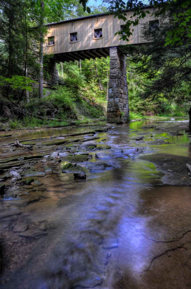
Windsor Mills Bridge
View from the front porch

watercolor painting

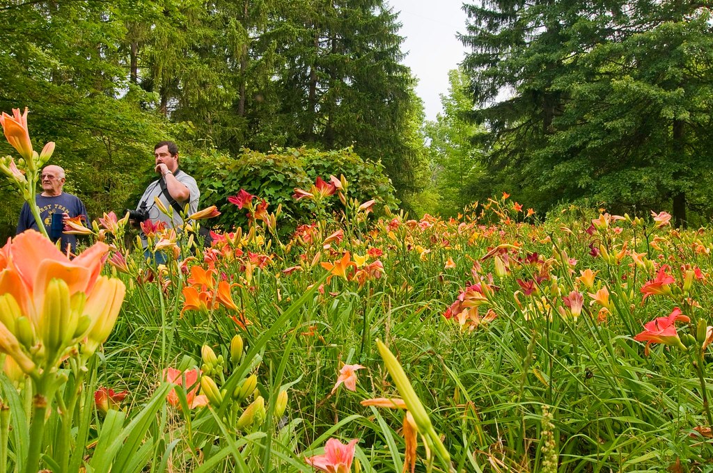
more Bill's Hybrids
View from the driveway
tanker 15 rear view

Bill's Hybrids...
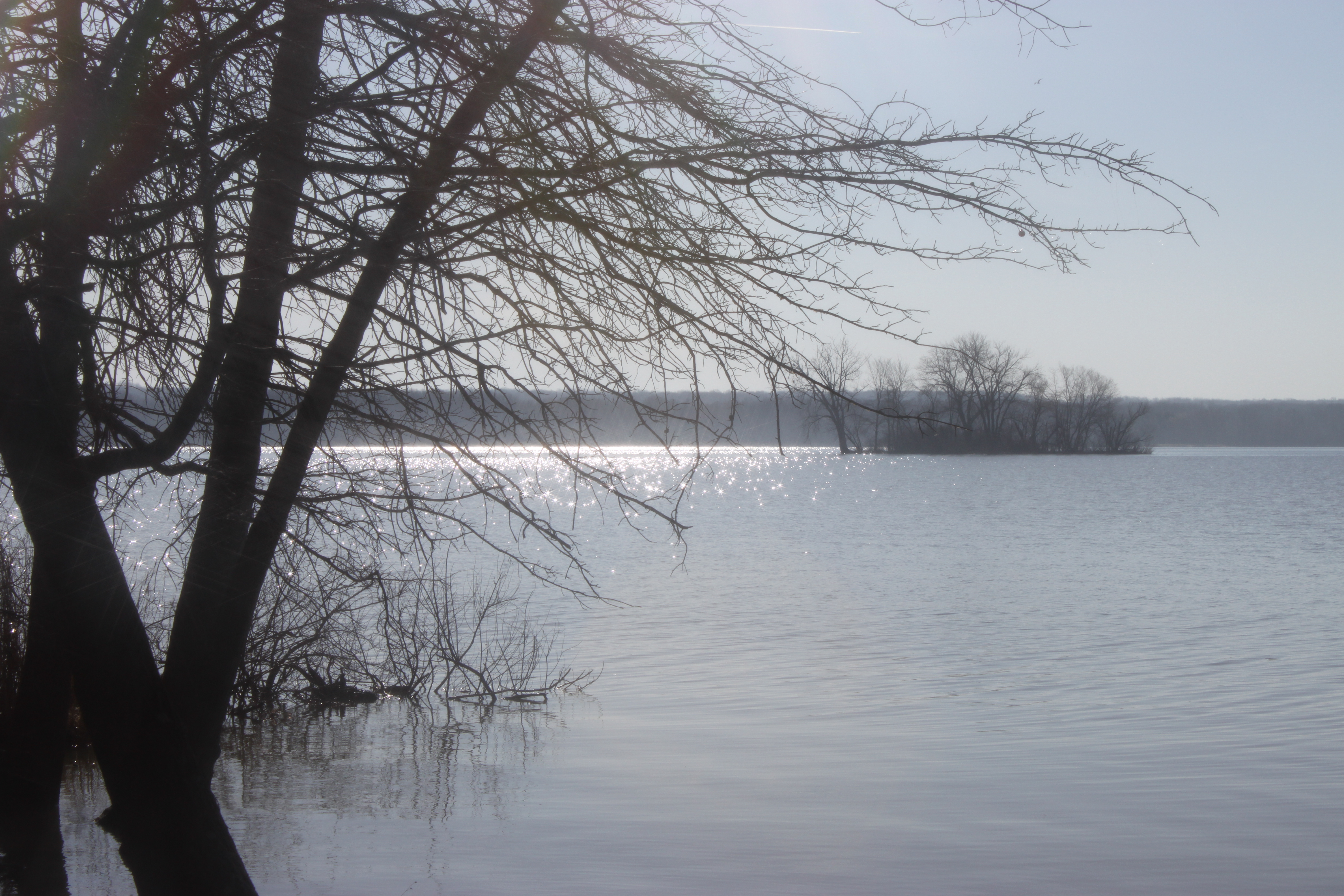
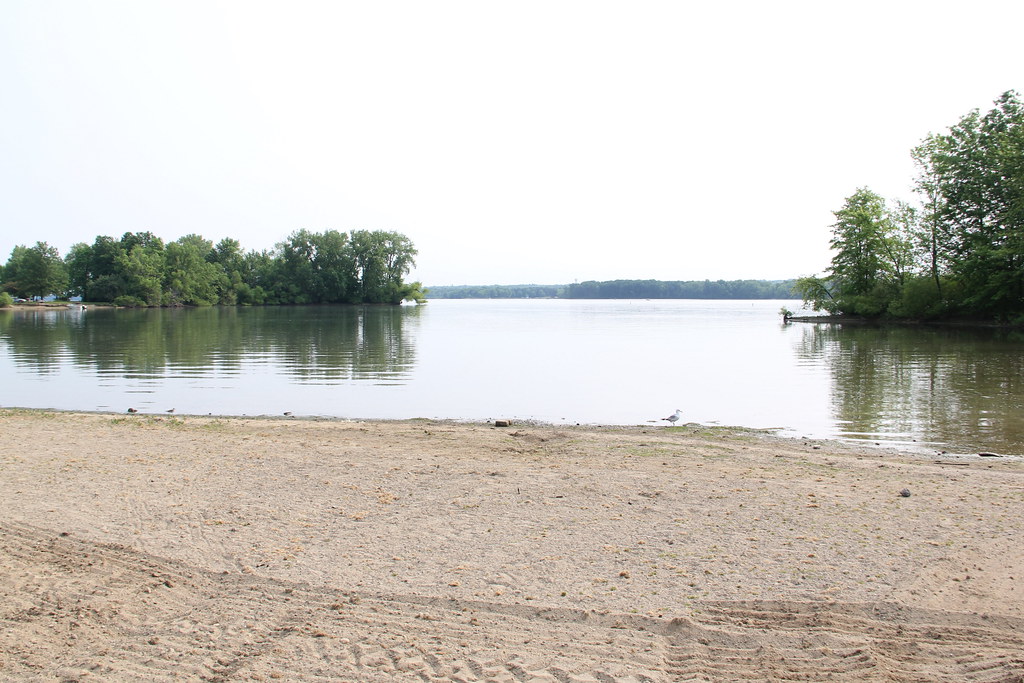
Mosquito Lake
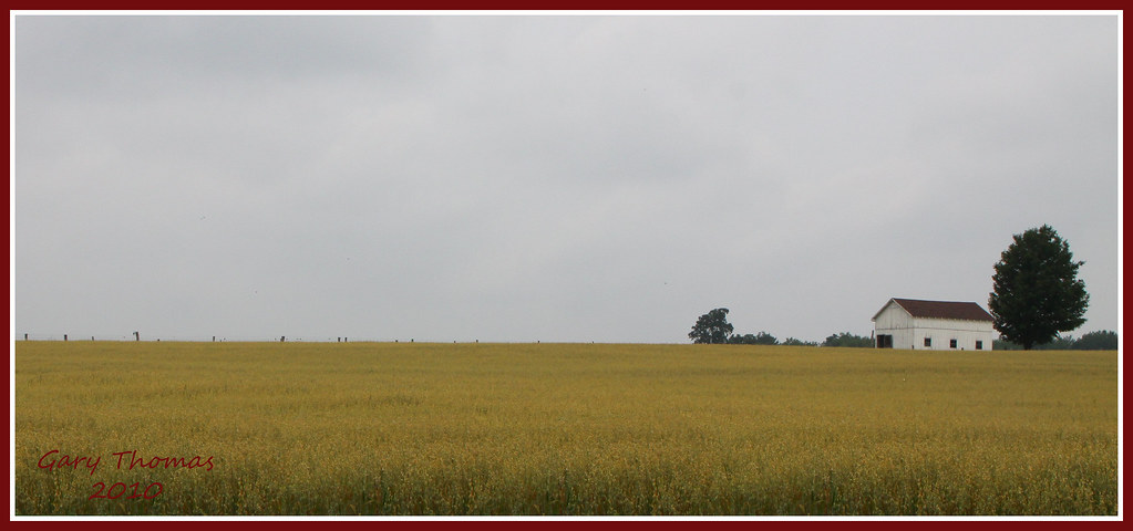
Field of dreams...
Side view
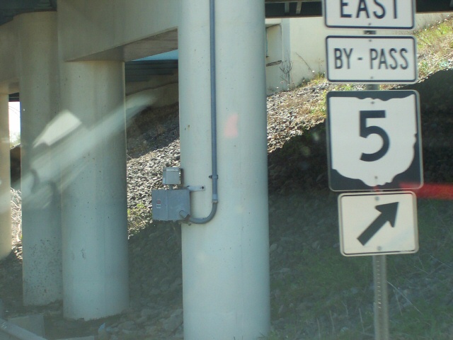
SR SR 45 Near SR 5/82 East On-ramp
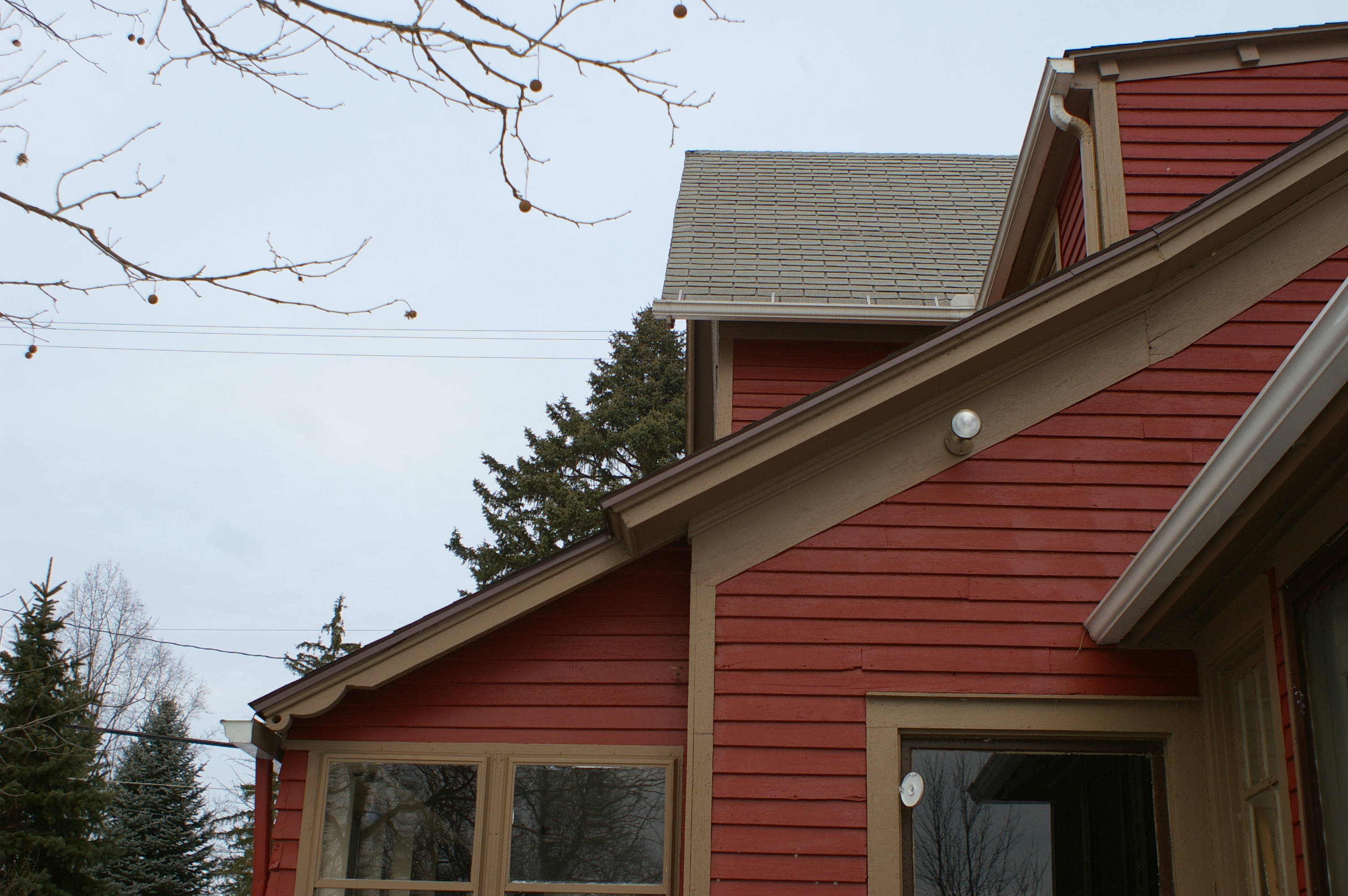
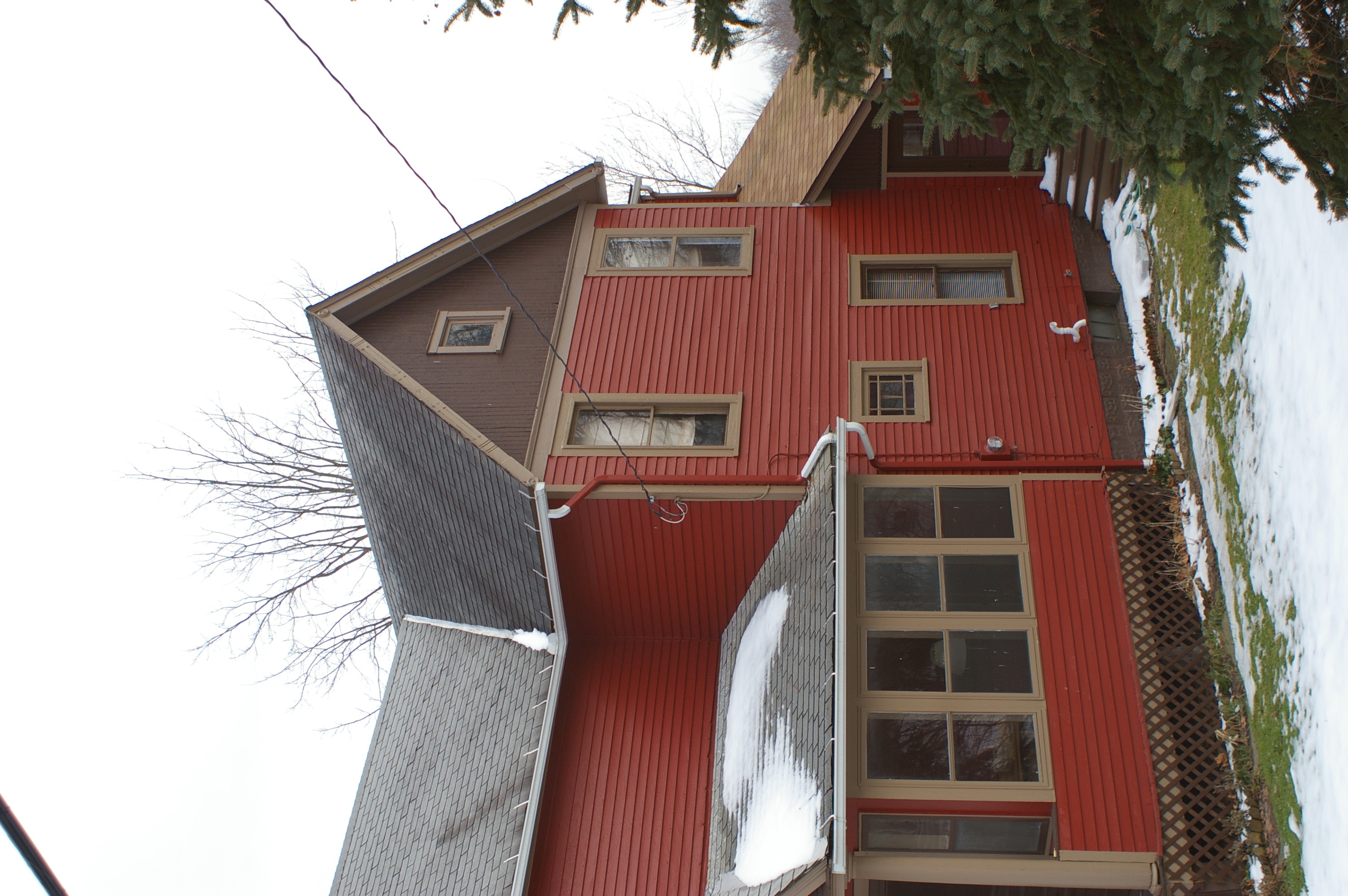
House, back view
View Towards Rt 87

Christmas colors
Champion Township-Copperweld Steel (COAF)
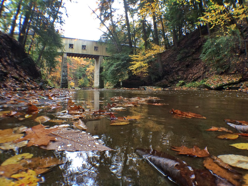
Windsor Mills Bridge
Mosquito Lake State Park
Windsor Mills Covered Bridge - Ashtabula County, Ohio.
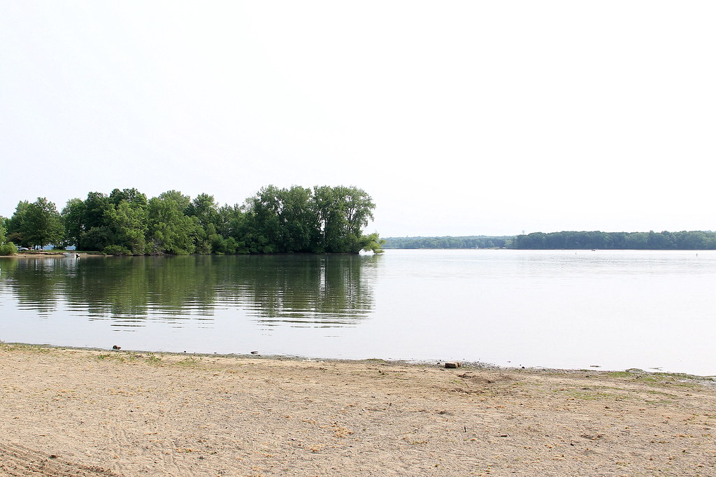
Mosquito Lake State Park
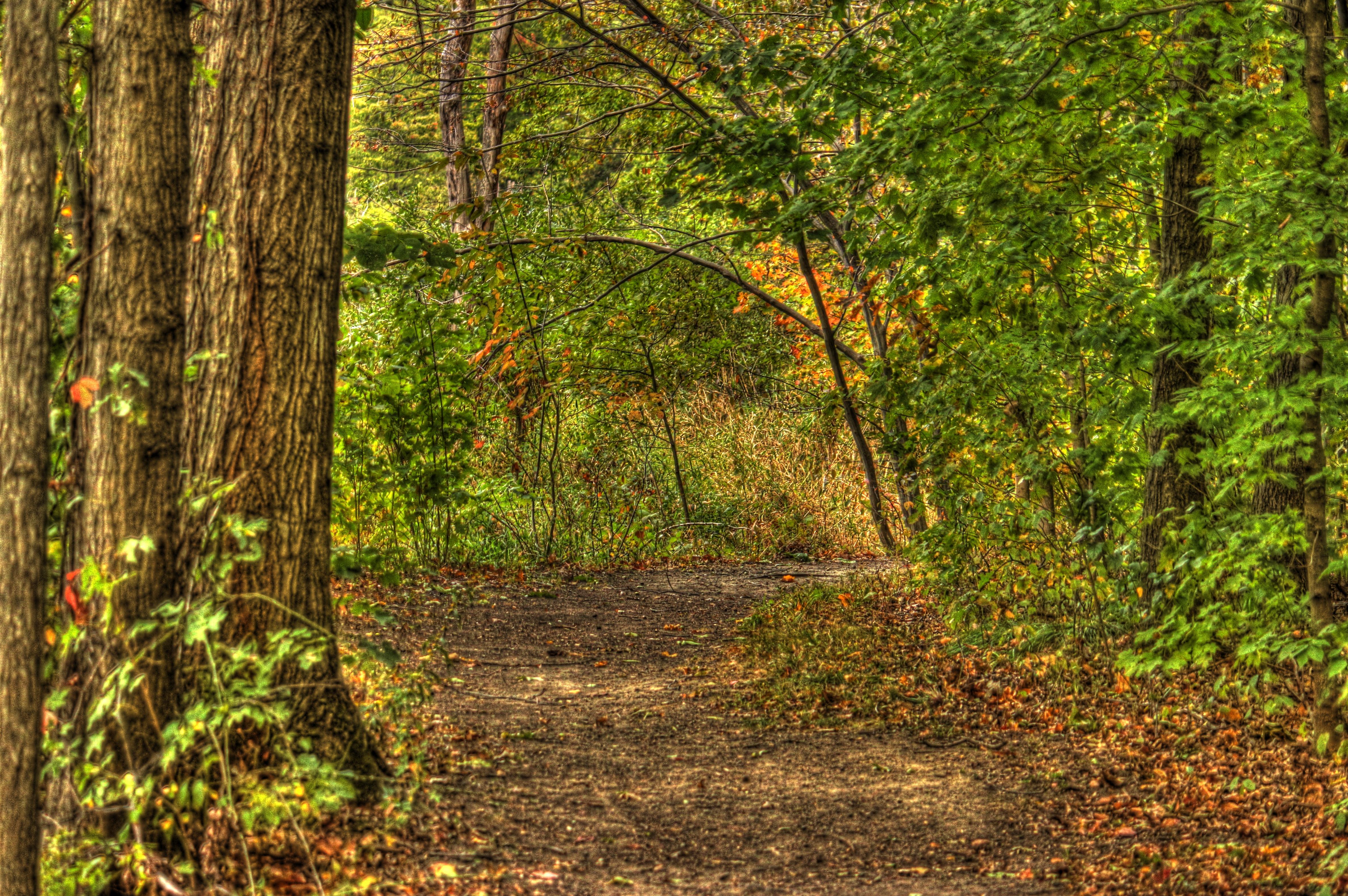
Open Spaces
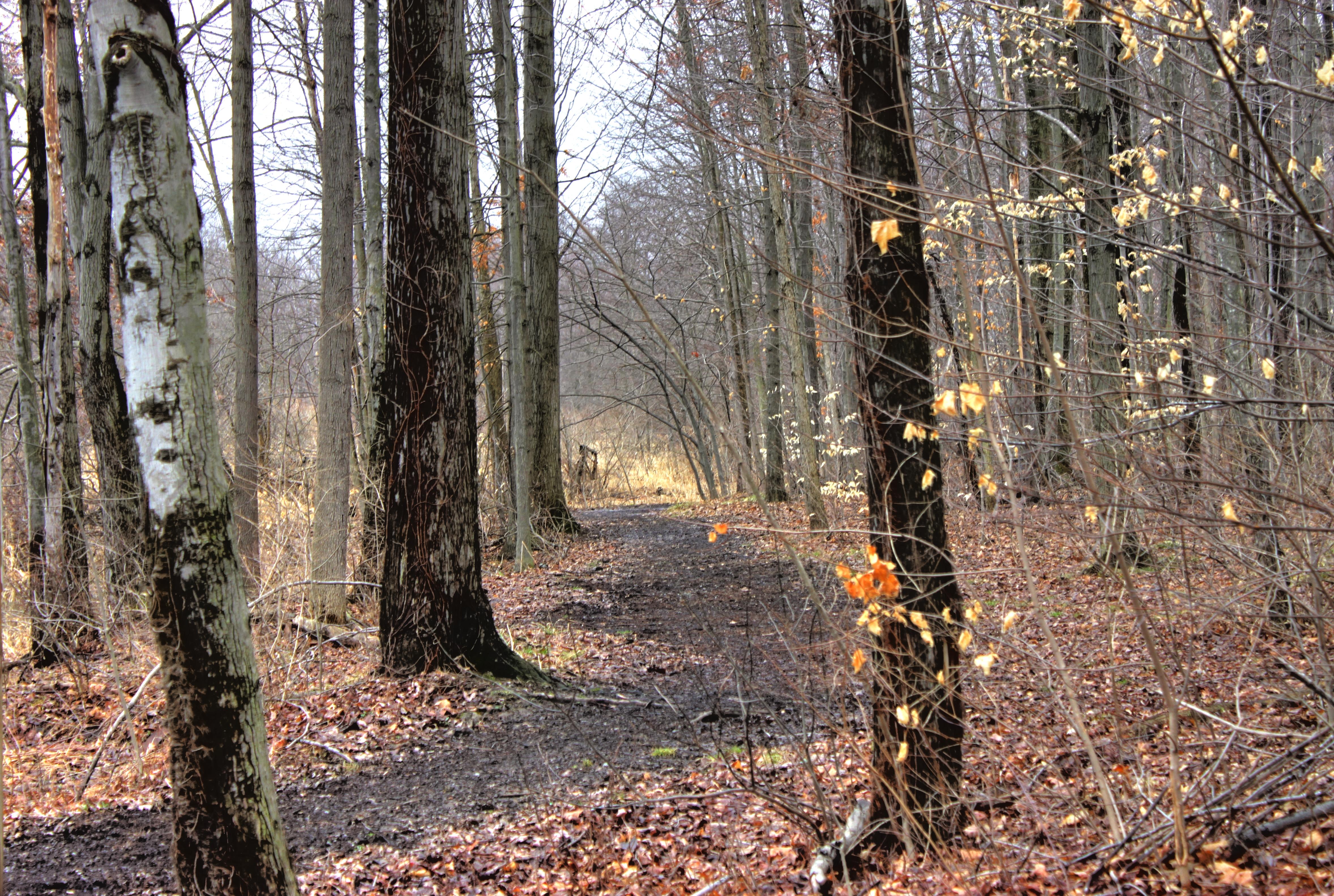
Trail 2

IMG_0205.jpg
Mosquito Creek Trail

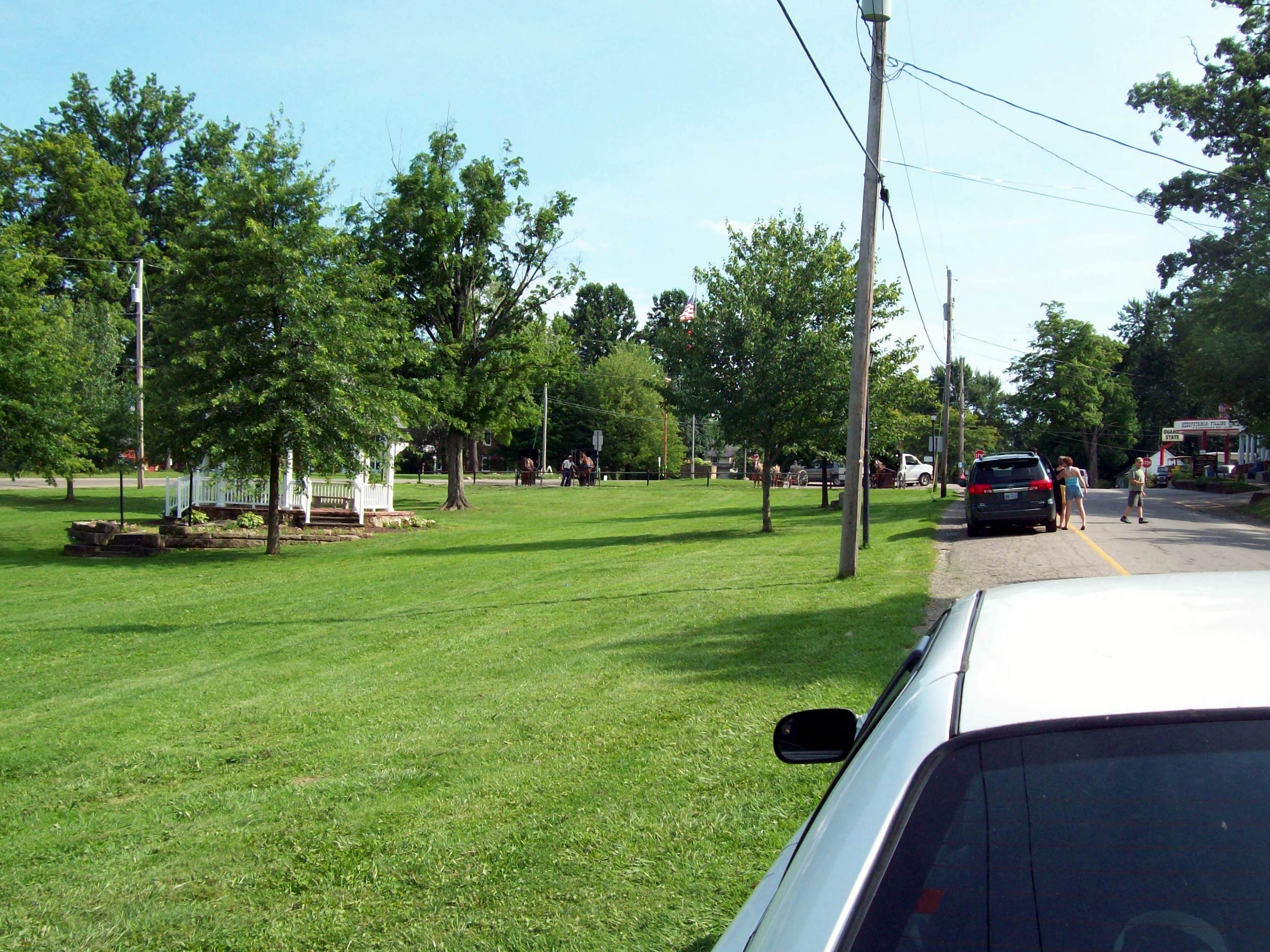
Amish Country
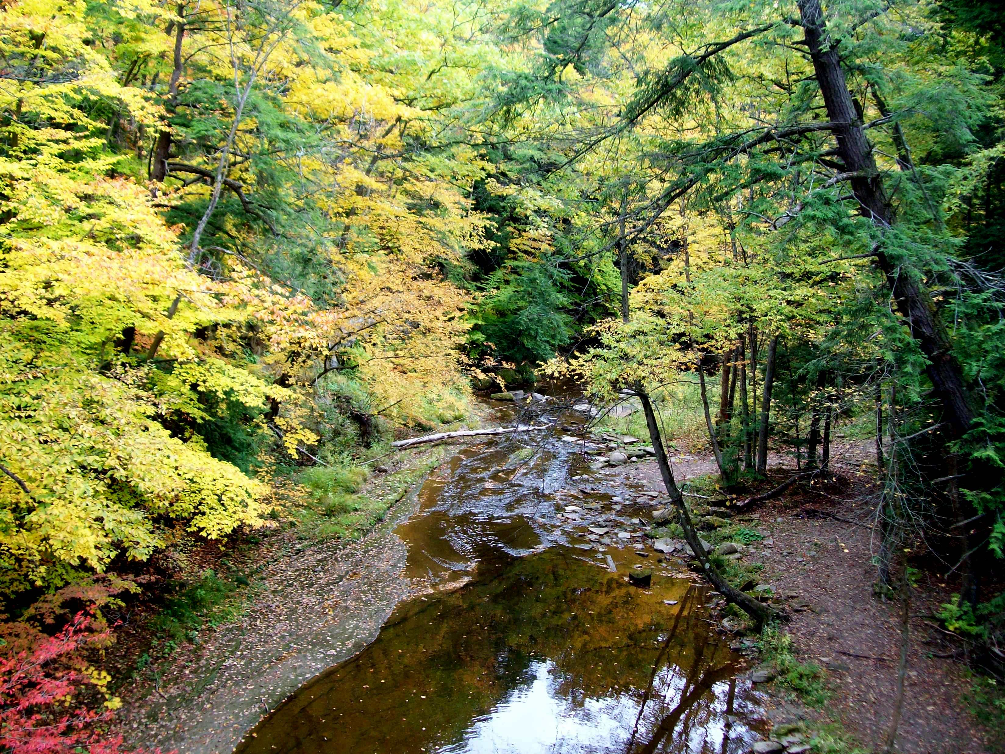
Phelps Creek

Train Tracks on Ridge Rd HDR

IMG_6637.jpg
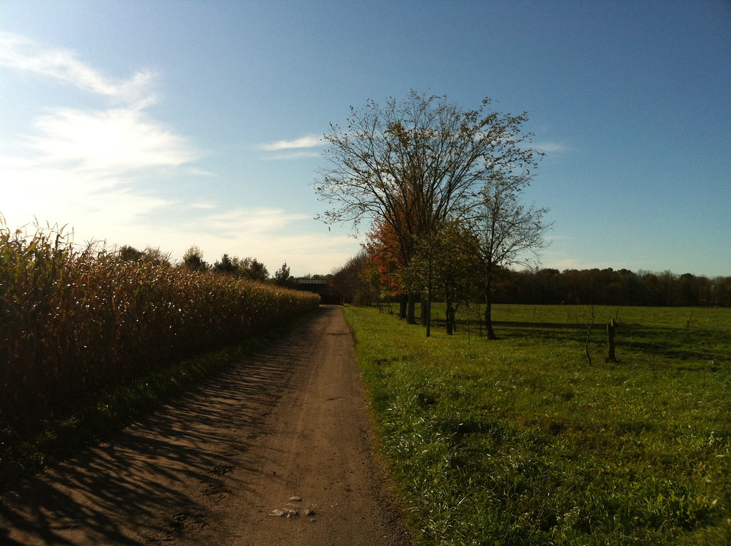
norman's corn

Mosquito Lake in January 1 HDR
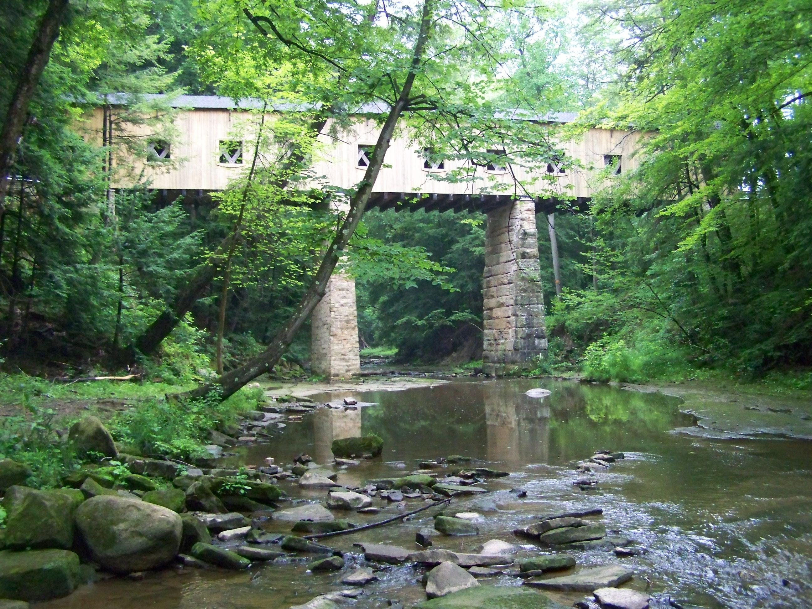
Wiswell Road Covered Bridge- Windsor Mills OH (2)

Ominous Sky..
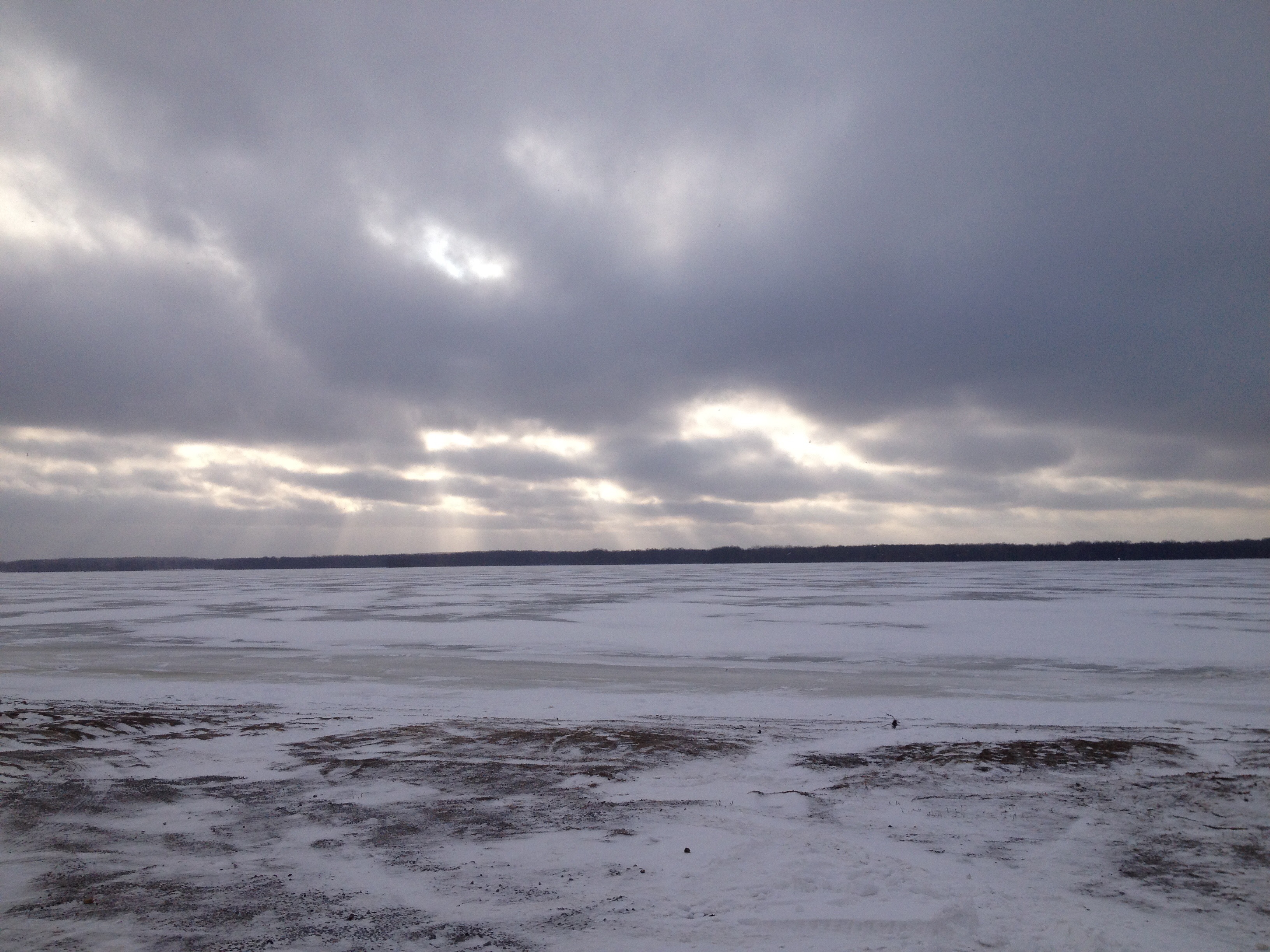
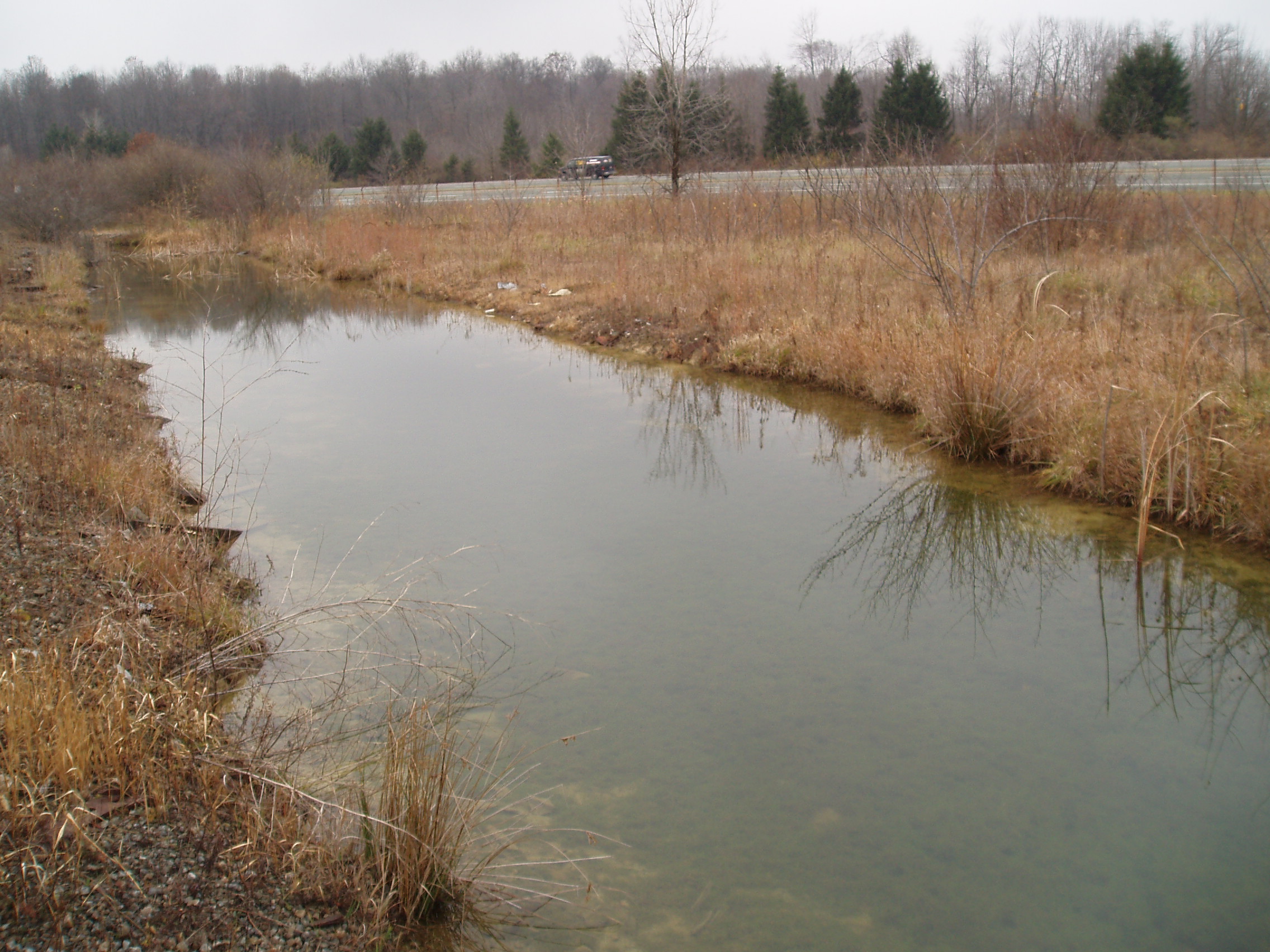
Mosquito Creek Lake
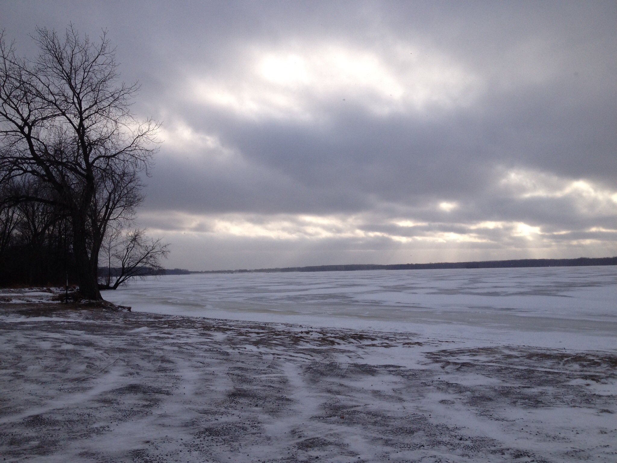
Mosquito Creek Lake
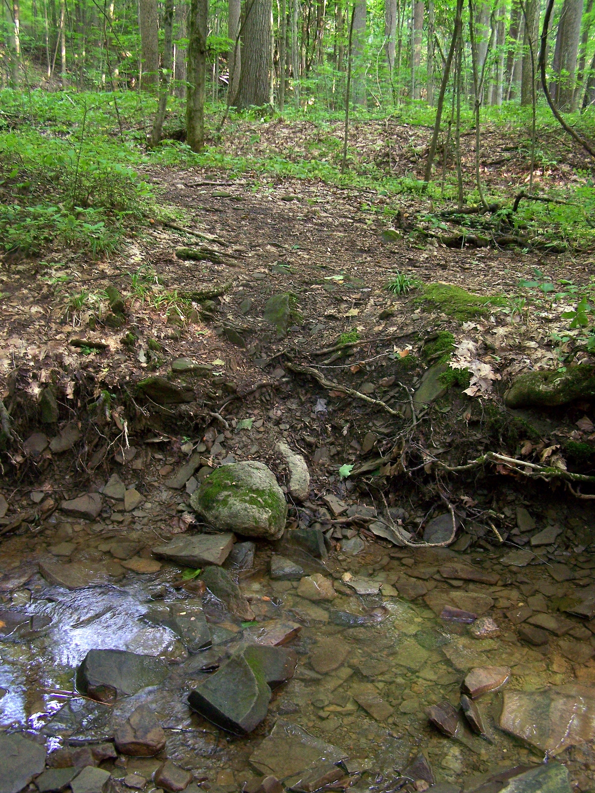
Creek crossing
Topographic Map of Hyde Oakfield Rd NW, Bristolville, OH, USA
Find elevation by address:

Places near Hyde Oakfield Rd NW, Bristolville, OH, USA:
6407 Oh-45
Bristolville
Bristol Township
OH-88, Bristolville, OH, USA
Bloomfield Township
North Bloomfield
6880 Oak Hill Dr
County Line Rd, Southington, OH, USA
Farmington Township
OH-87, Farmdale, OH, USA
West Farmington
Parkman Township
16434 Main Market Rd
Norton, Burton, OH, USA
Nelson Township
W High St, Middlefield, OH, USA
Troy Township
E Park St, Burton, OH, USA
Burton
Hiram
Recent Searches:
- Elevation of Felindre, Swansea SA5 7LU, UK
- Elevation of Leyte Industrial Development Estate, Isabel, Leyte, Philippines
- Elevation of W Granada St, Tampa, FL, USA
- Elevation of Pykes Down, Ivybridge PL21 0BY, UK
- Elevation of Jalan Senandin, Lutong, Miri, Sarawak, Malaysia
- Elevation of Bilohirs'k
- Elevation of 30 Oak Lawn Dr, Barkhamsted, CT, USA
- Elevation of Luther Road, Luther Rd, Auburn, CA, USA
- Elevation of Unnamed Road, Respublika Severnaya Osetiya — Alaniya, Russia
- Elevation of Verkhny Fiagdon, North Ossetia–Alania Republic, Russia