Elevation of Hwy 62 E, Mountain Home, AR, USA
Location: United States > Arkansas > Baxter County > Mountain Home Township > Mountain Home >
Longitude: -92.366955
Latitude: 36.350867
Elevation: -10000m / -32808feet
Barometric Pressure: 295KPa
Elevation Map:
Satellite Map:
Related Photos:

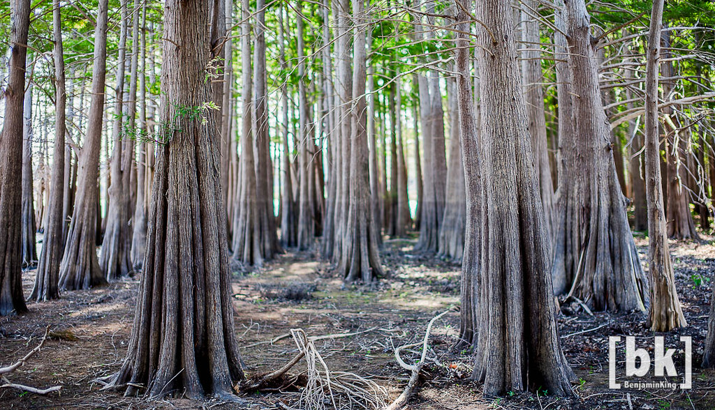
Listen to the Trees

Riverfront fixer-upper with a view.
pigeon creek view

Google Street View 365° by Andrea Speziali

Ride to Arkansas

not cool

view from the photo stage

Exploring 3

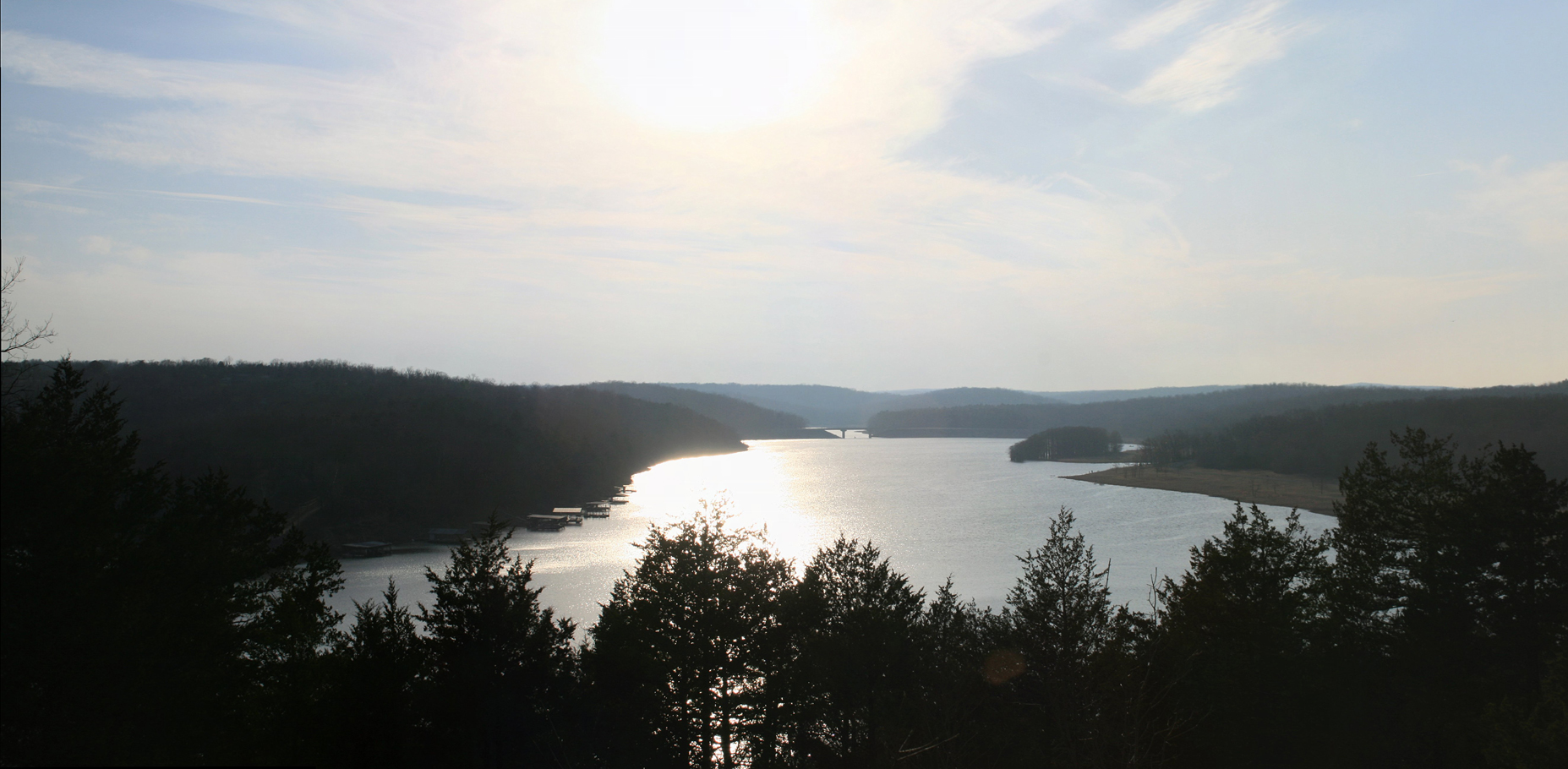
Along the White River

IMG_0011-Pano-Edit.jpg

46/52 - A Moment of Quiet Reflection

Sunset 1

Rock Makes Splash 2

Peaceful Stream

Rock Makes Splash 1

Another Excellent Spot

Stopping for a Smile
Untitled_HDR8-2-Edit.jpg

Exploring 2
_IGP5299.jpg

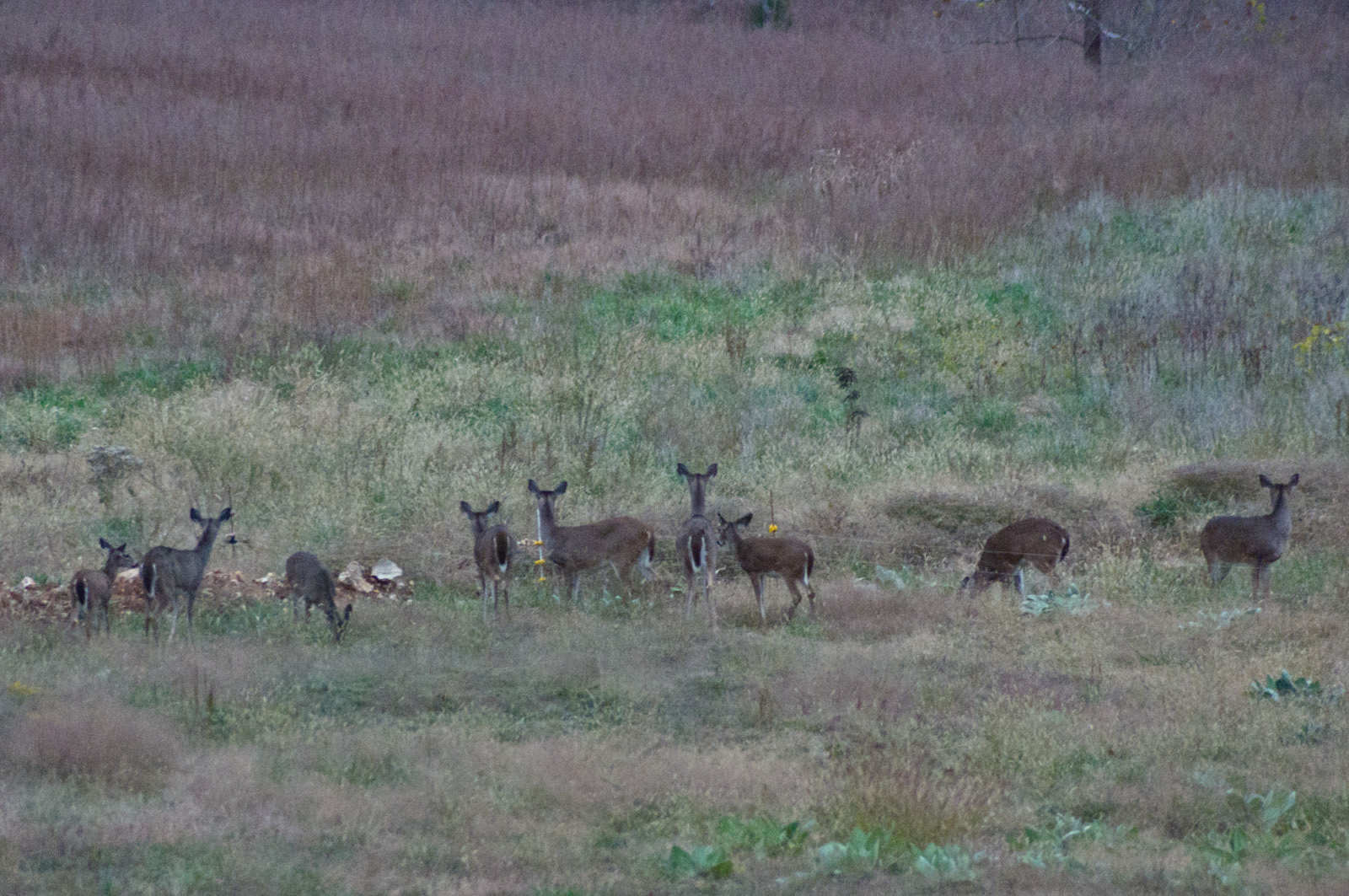
Deer 5

Pier on Lake Norfork
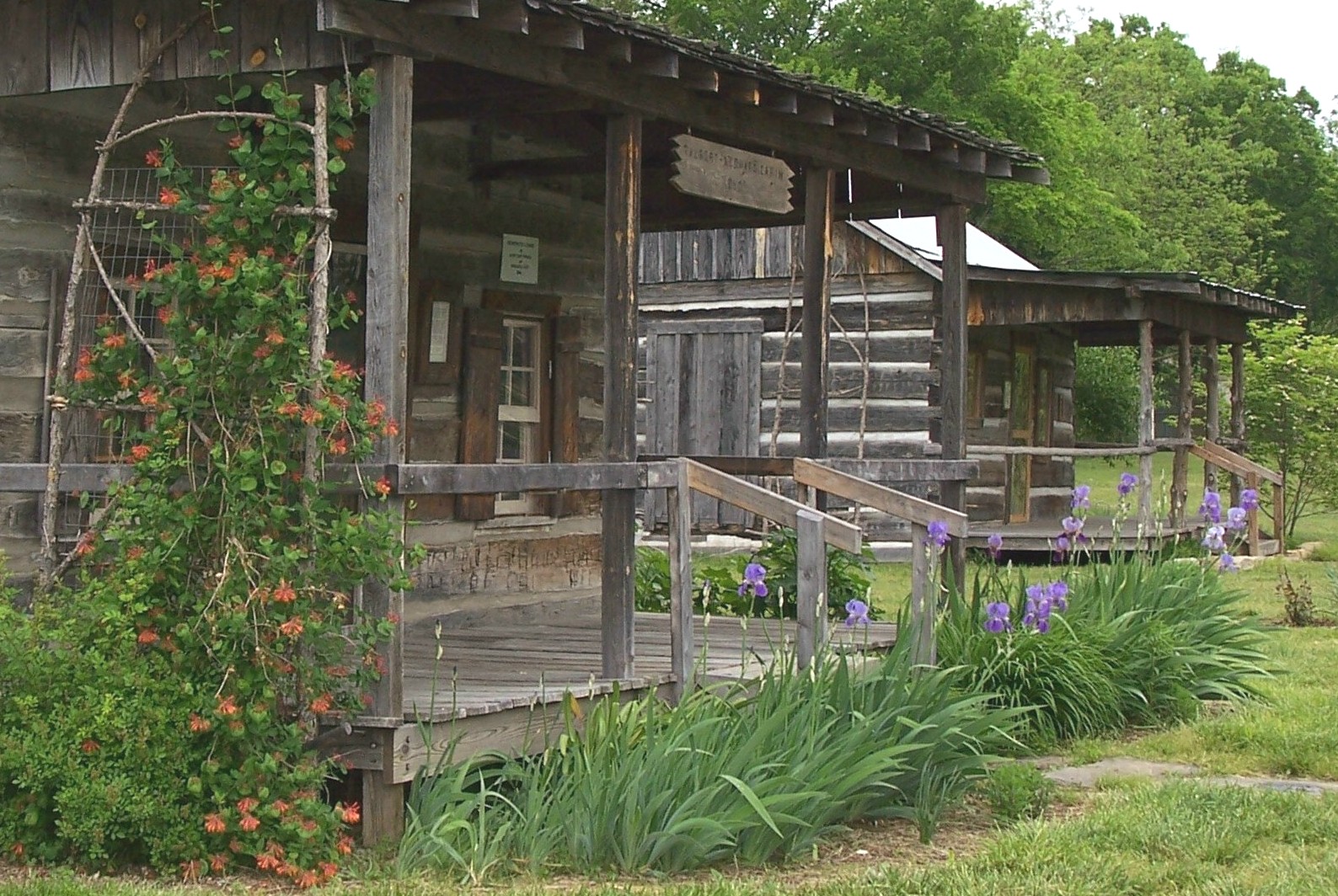
Rapps Barren Settlement

Listen to the Trees. No. 3 (infrared fun)

Taking It All In
Topographic Map of Hwy 62 E, Mountain Home, AR, USA
Find elevation by address:

Places near Hwy 62 E, Mountain Home, AR, USA:
Sun Valley Cinema
Highway 62 East
Mountain Home Township
Baxter Crematory
149 S Baker St
Mountain Home
Sneed Eye Associates
Sneed Eye Associates
7 E 7th St
Mountain Home, AR, USA
1033 South St
407 Co Rd 25
Hospital Drive
Baxter County
1300 Hwy 62 W
Skyline Drive
1521 Mistletoe
18 Windy Dr, Mountain Home, AR, USA
Western Hills Loop, Mountain Home, AR, USA
Kelley Thomas Landscape Nursery
Recent Searches:
- Elevation of Congressional Dr, Stevensville, MD, USA
- Elevation of Bellview Rd, McLean, VA, USA
- Elevation of Stage Island Rd, Chatham, MA, USA
- Elevation of Shibuya Scramble Crossing, 21 Udagawacho, Shibuya City, Tokyo -, Japan
- Elevation of Jadagoniai, Kaunas District Municipality, Lithuania
- Elevation of Pagonija rock, Kranto 7-oji g. 8"N, Kaunas, Lithuania
- Elevation of Co Rd 87, Jamestown, CO, USA
- Elevation of Tenjo, Cundinamarca, Colombia
- Elevation of Côte-des-Neiges, Montreal, QC H4A 3J6, Canada
- Elevation of Bobcat Dr, Helena, MT, USA