Elevation of Hurricane Creek Rd, Lebanon, TN, USA
Location: United States > Tennessee > Wilson County > Lebanon >
Longitude: -86.31189
Latitude: 36.054359
Elevation: 210m / 689feet
Barometric Pressure: 99KPa
Elevation Map:
Satellite Map:
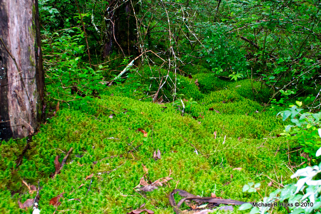
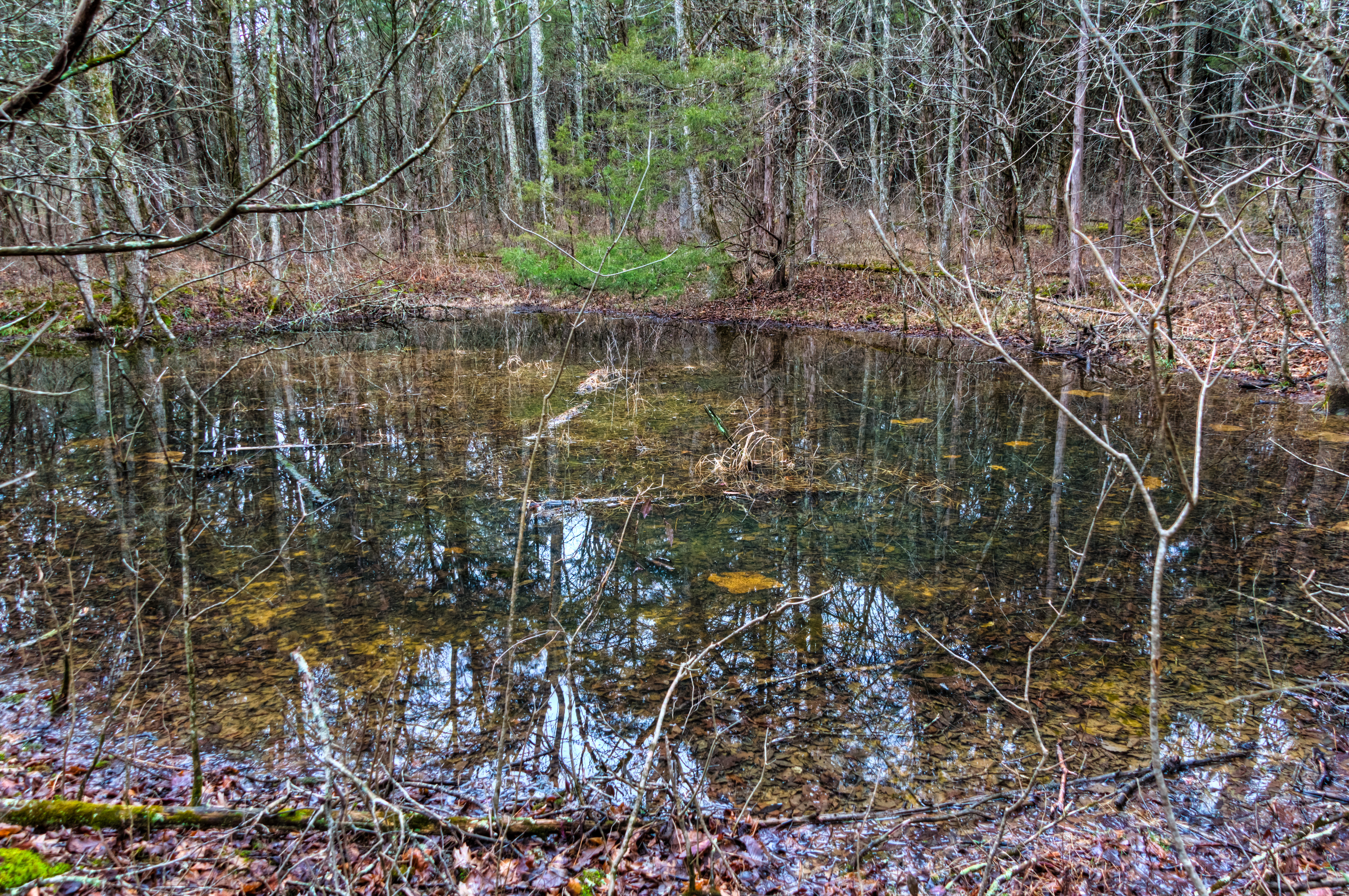
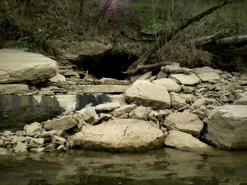
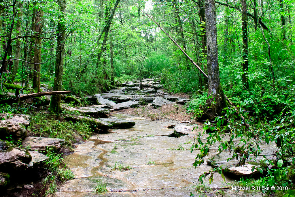
Related Photos:

Passion Flower with Bug -- View Me LARGE, I Think You Will Like What You See!

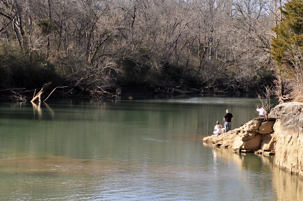
250/365 - Afternoon on the River
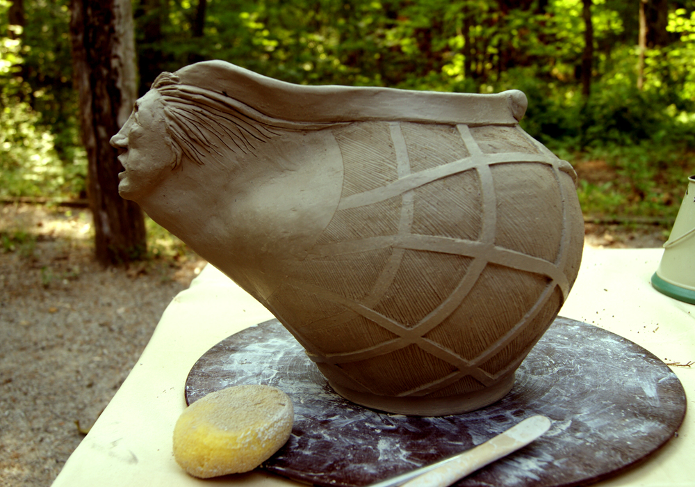
Yarn Caddy - Side View
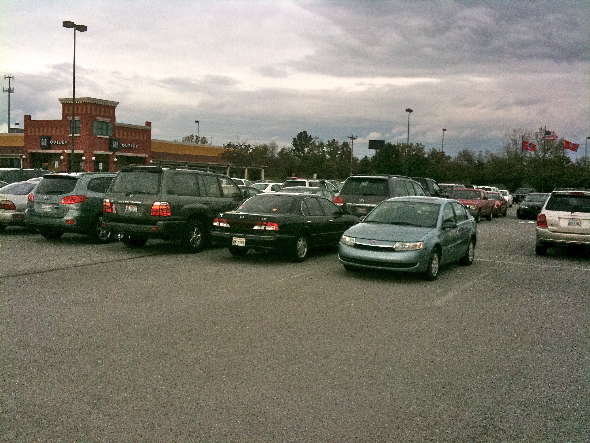
Prime Outlet Mall Lebanon TN

18/366 Holly-wood
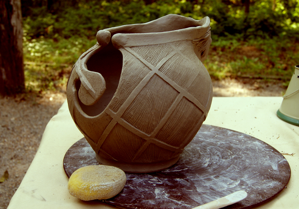
Yarn Caddy - Rear View

2010-06 SCCA at Nashville

Walter Hill Dam
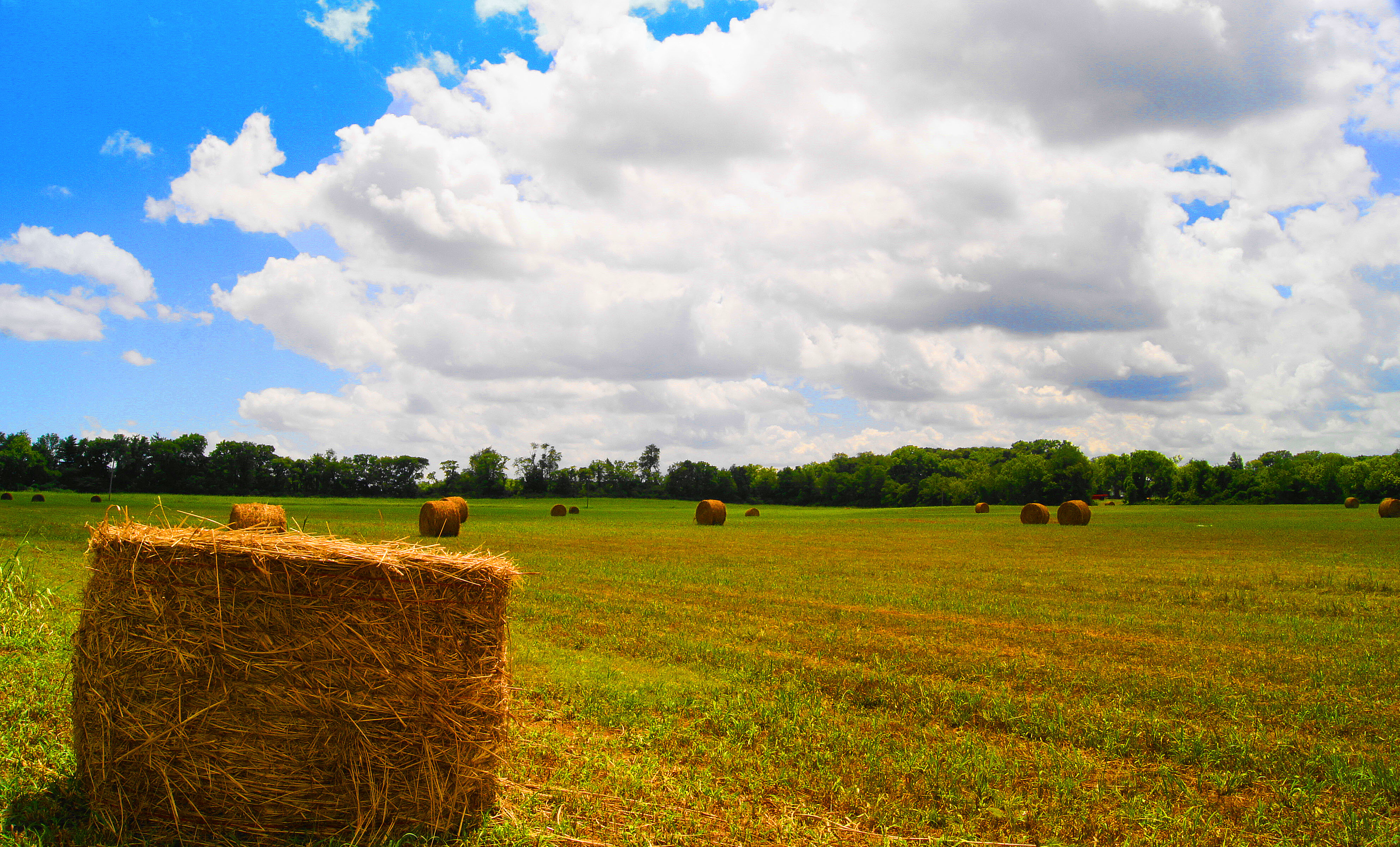
HAY there......

Waterfall on East Fork of Stones River B&W
The beautiful Cedars of Lebanon state park.
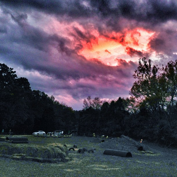
Fire in the Sky
1 (27)
Mona Boat Ramp, Percy Priest Lake
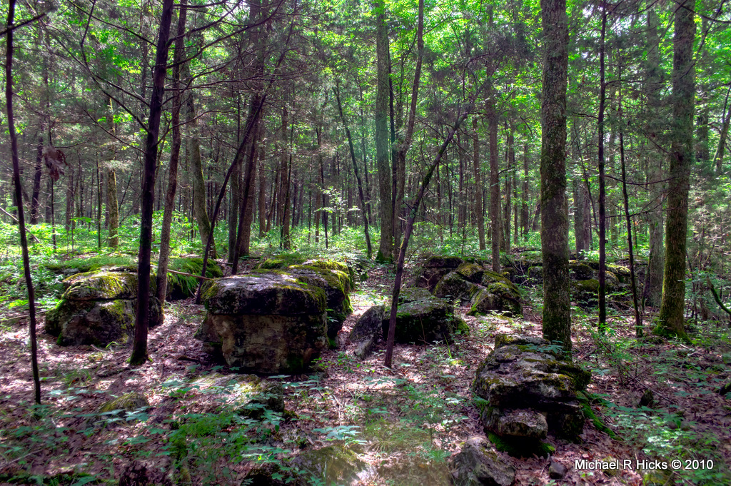
Cedars of Lebanon State Park

Corn Maze

Cedars of Lebanon State Park
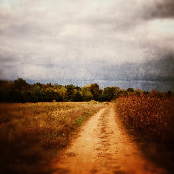
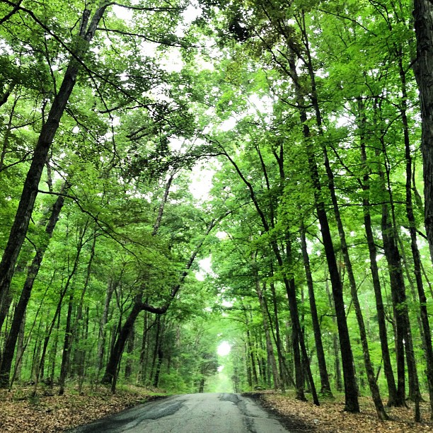
Country Road
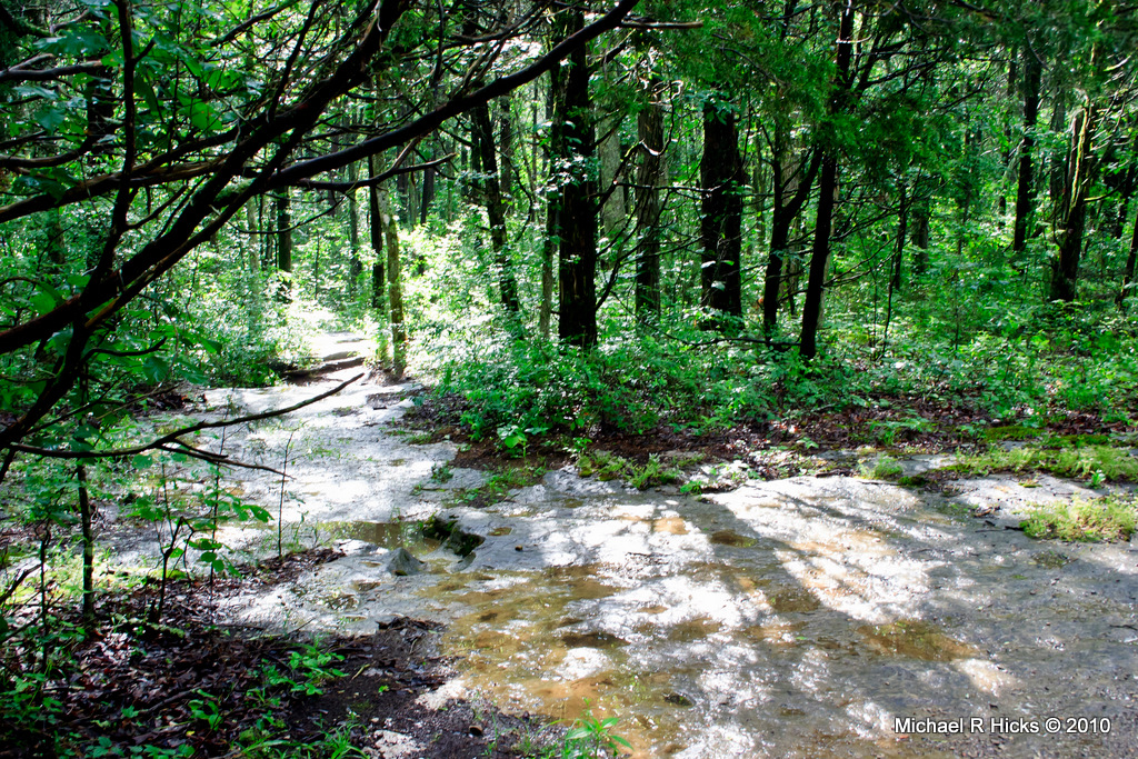
Cedars of Lebanon State Park
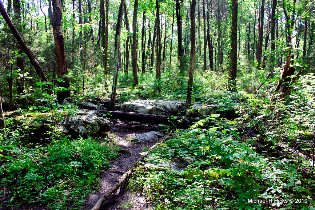
Cedars of Lebanon State Park
Cedars of Lebanon State Park

30/366 Amber Waves
Cedars of Lebanon State Park
1 (34)
Cedars of Lebanon State Park
Cedars of Lebanon State Park
Cedars of Lebanon State Park
Topographic Map of Hurricane Creek Rd, Lebanon, TN, USA
Find elevation by address:

Places near Hurricane Creek Rd, Lebanon, TN, USA:
W Richmond Shop Rd, Lebanon, TN, USA
Central Pike, Lebanon, TN, USA
413 Niagra Ln
Lascassas, TN, USA
1375 Walnut Grove Rd
1450 Walnut Grove Rd
Wilson County
Holly Grove Rd, Lascassas, TN, USA
8959 Big Oak Dr
210 Alligood Way
Lascassas
Greenvale Rd, Watertown, TN, USA
534 Tuckers Gap Rd
Lascassas Pike
North Lamar Road
Cider Dr, Murfreesboro, TN, USA
116 S Tarver Ave
Lebanon
N Lamar Rd, Mt Juliet, TN, USA
219 Virginia Ave
Recent Searches:
- Elevation of Corso Fratelli Cairoli, 35, Macerata MC, Italy
- Elevation of Tallevast Rd, Sarasota, FL, USA
- Elevation of 4th St E, Sonoma, CA, USA
- Elevation of Black Hollow Rd, Pennsdale, PA, USA
- Elevation of Oakland Ave, Williamsport, PA, USA
- Elevation of Pedrógão Grande, Portugal
- Elevation of Klee Dr, Martinsburg, WV, USA
- Elevation of Via Roma, Pieranica CR, Italy
- Elevation of Tavkvetili Mountain, Georgia
- Elevation of Hartfords Bluff Cir, Mt Pleasant, SC, USA