Elevation of Huntington, MA, USA
Location: United States > Massachusetts > Hampshire County >
Longitude: -72.879601
Latitude: 42.2335218
Elevation: 111m / 364feet
Barometric Pressure: 100KPa
Elevation Map:
Satellite Map:
Related Photos:

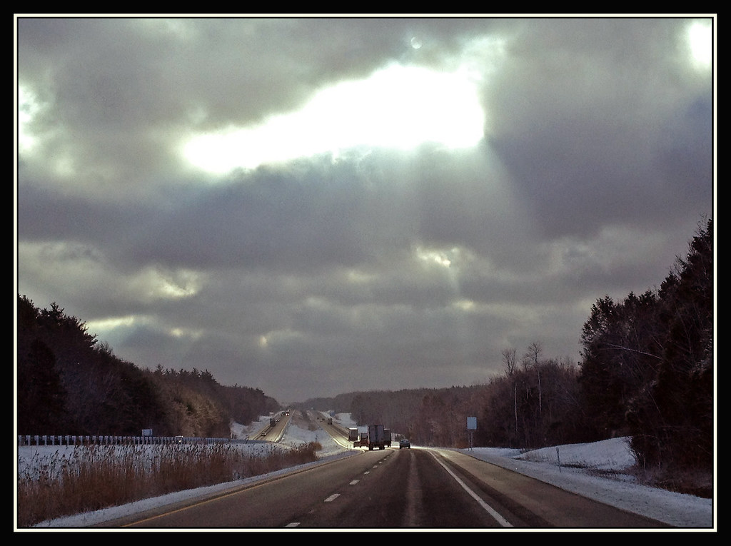
Let there be Clouds
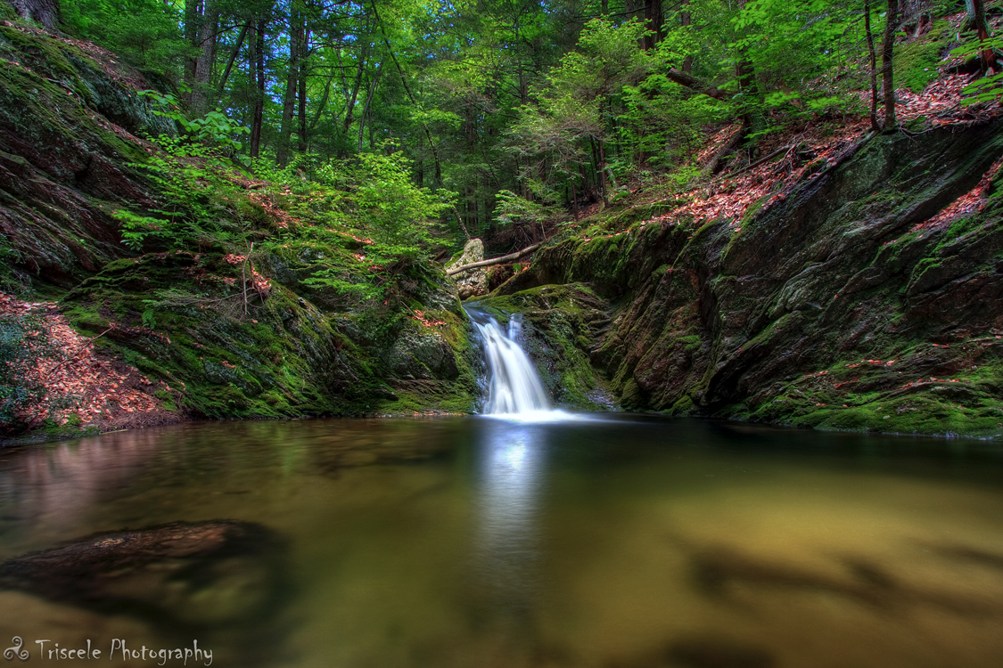
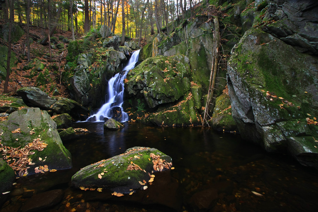
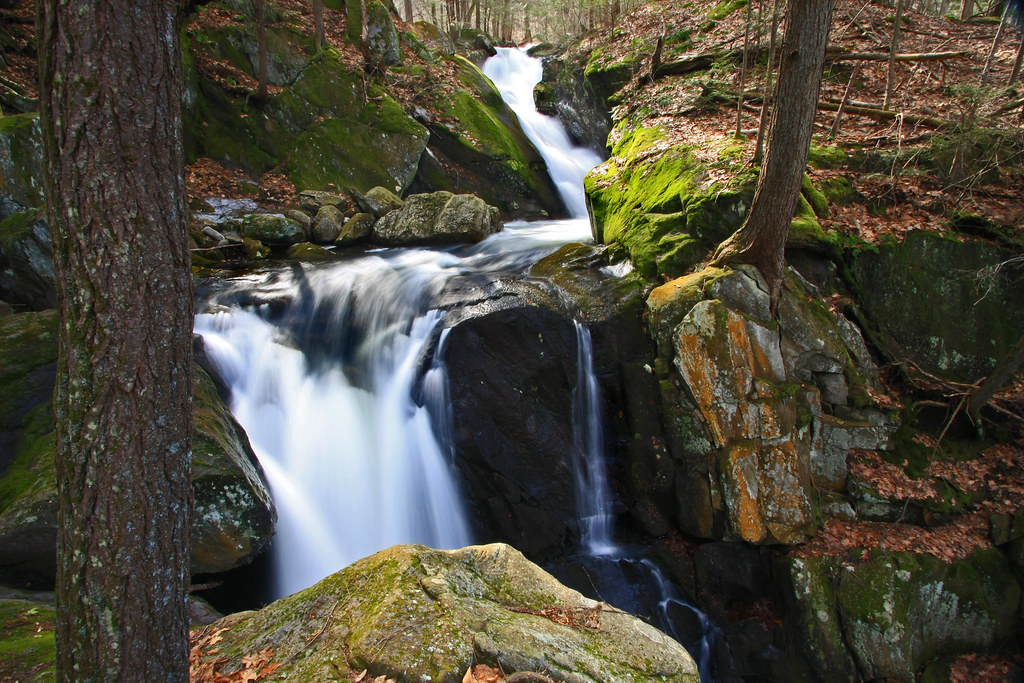
Little Pitcher Falls
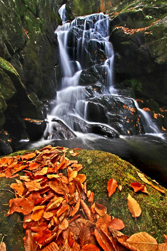
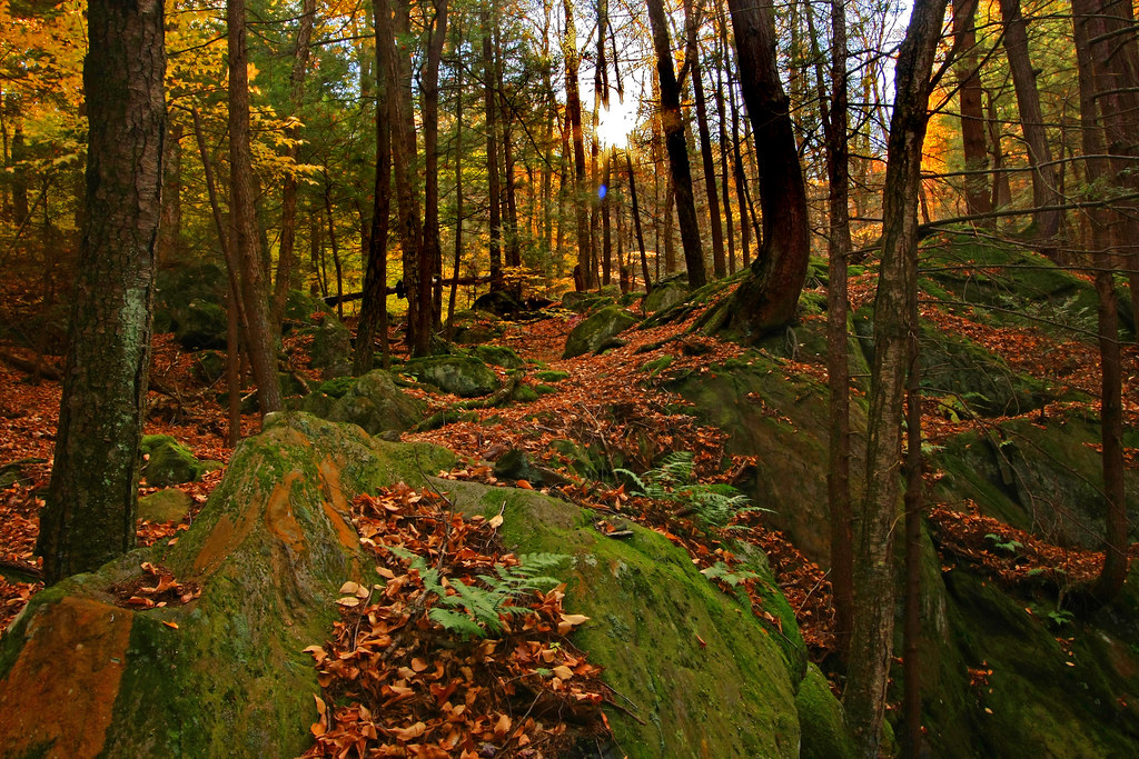
Leaf Me Alone
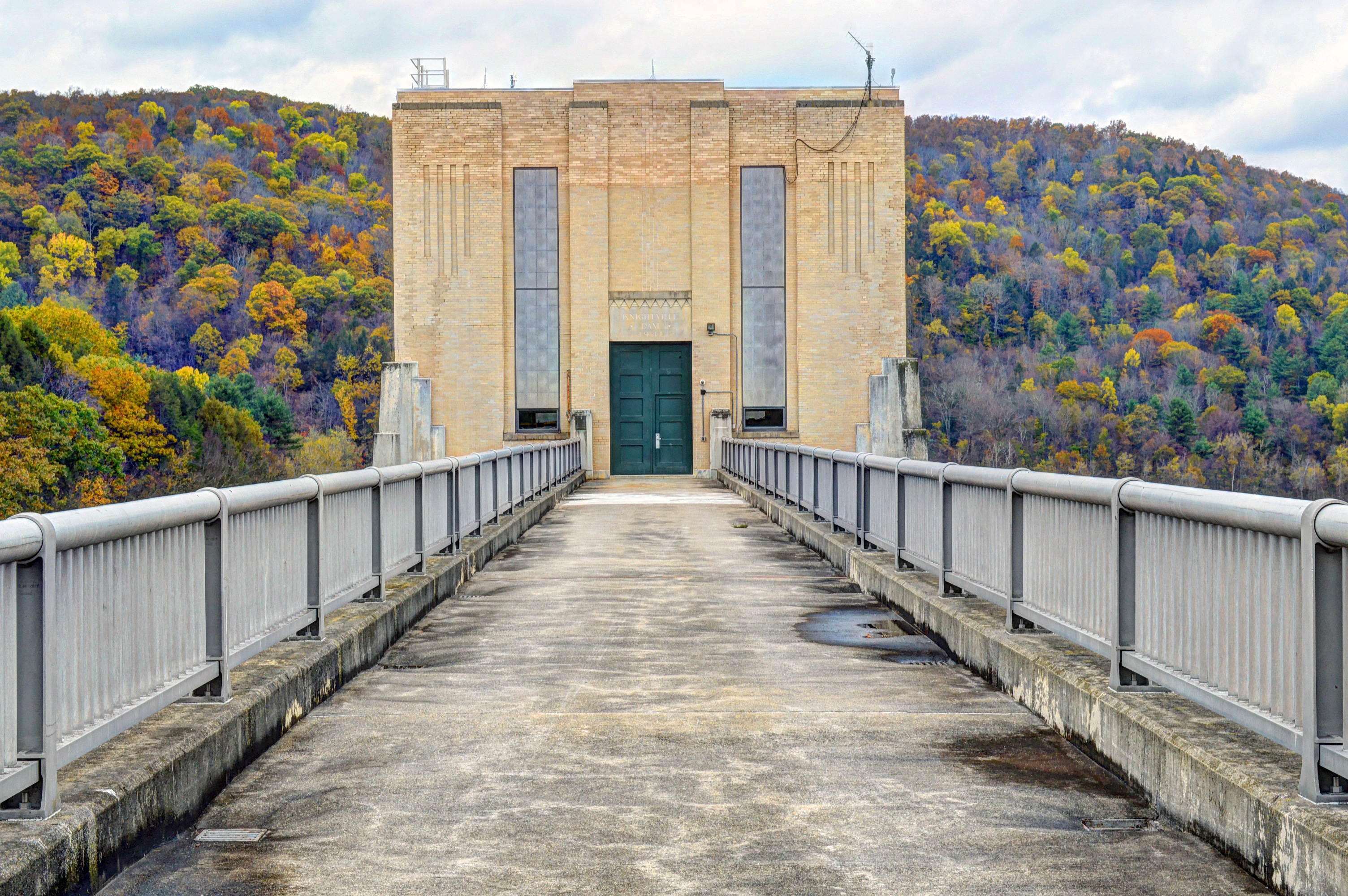
Knightville Dam
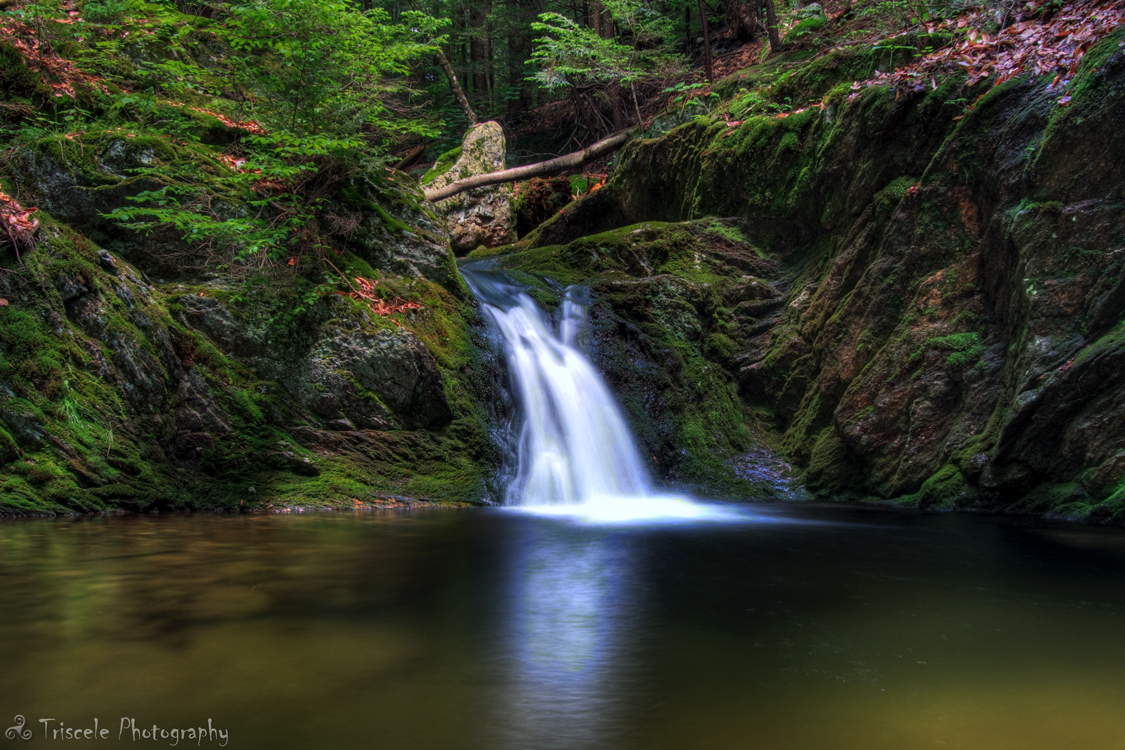
Little Pitcher Falls Part 2
Struck By Heaven's Light
Woodland Pool
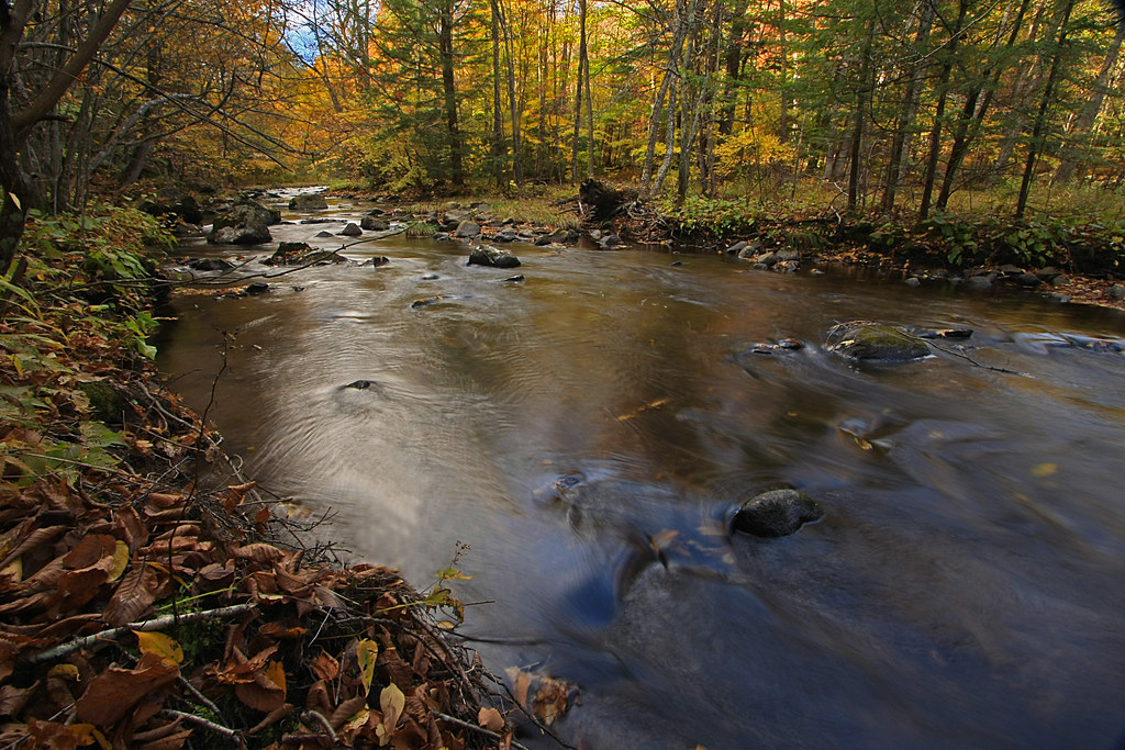
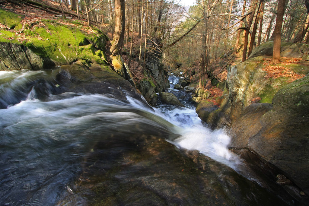
The Soothing Flow of a Woodland Stream
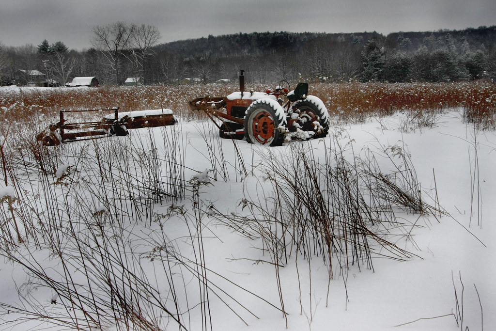
The Harsh Reality of Winter
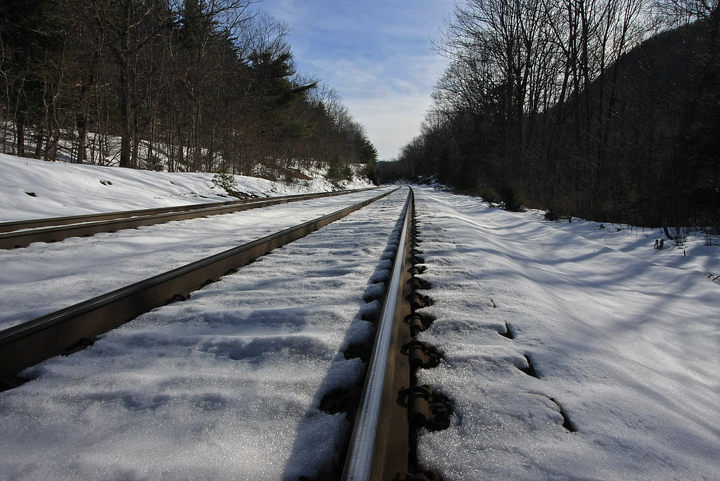
Tracks in the Snow
Climb toward the Sun
The Point of No Return

Spring Runoff
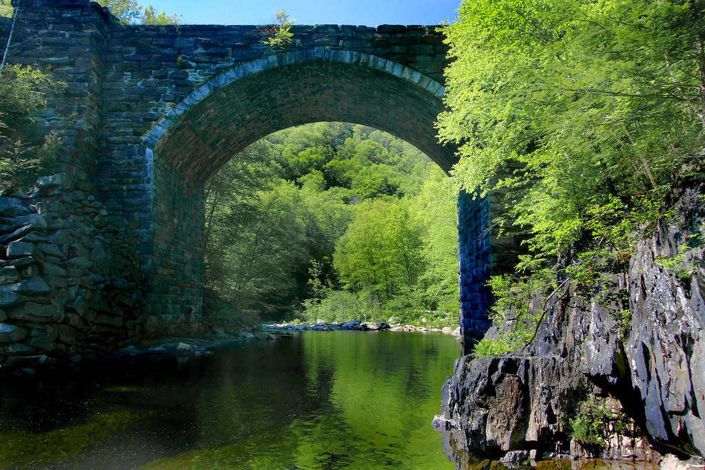
Keystone Arch Bridge
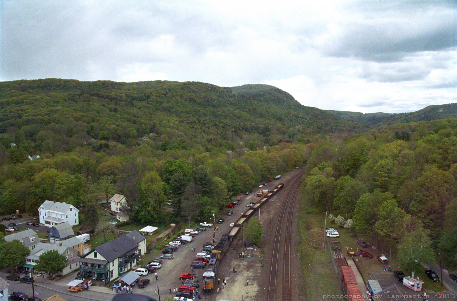
Aerial View
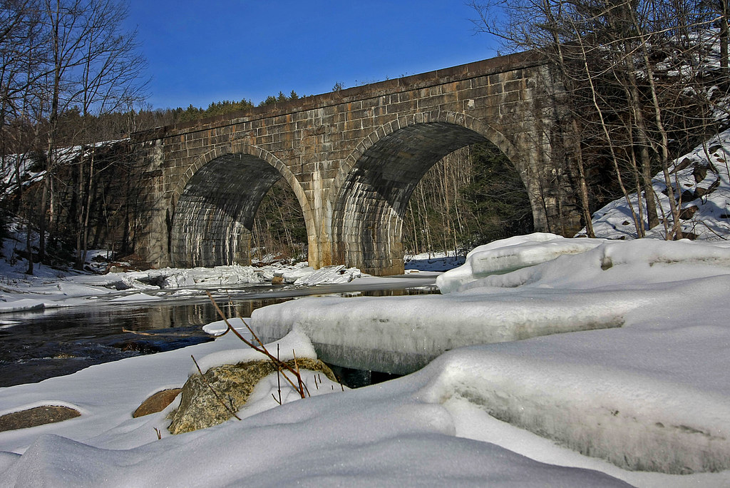
Double Arch

Double arched railroad bridge
Find Your Way
Tumble, Tumble
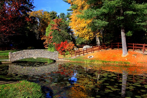
The Lily Pond in Fall
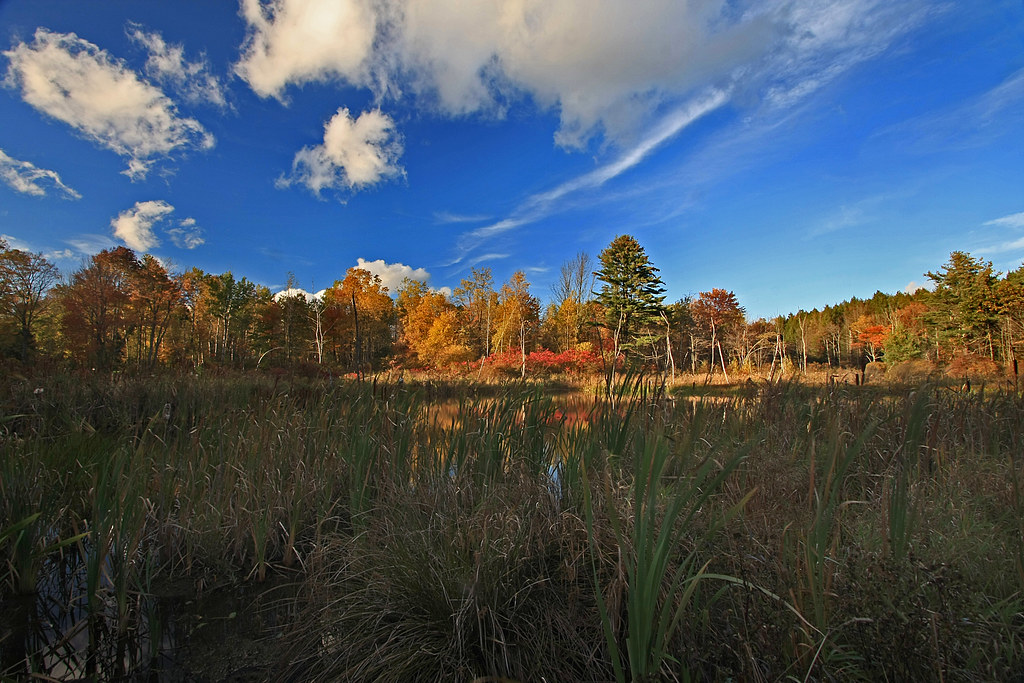
Beyond the Rushes

Lap 2

IMGP0028.jpg
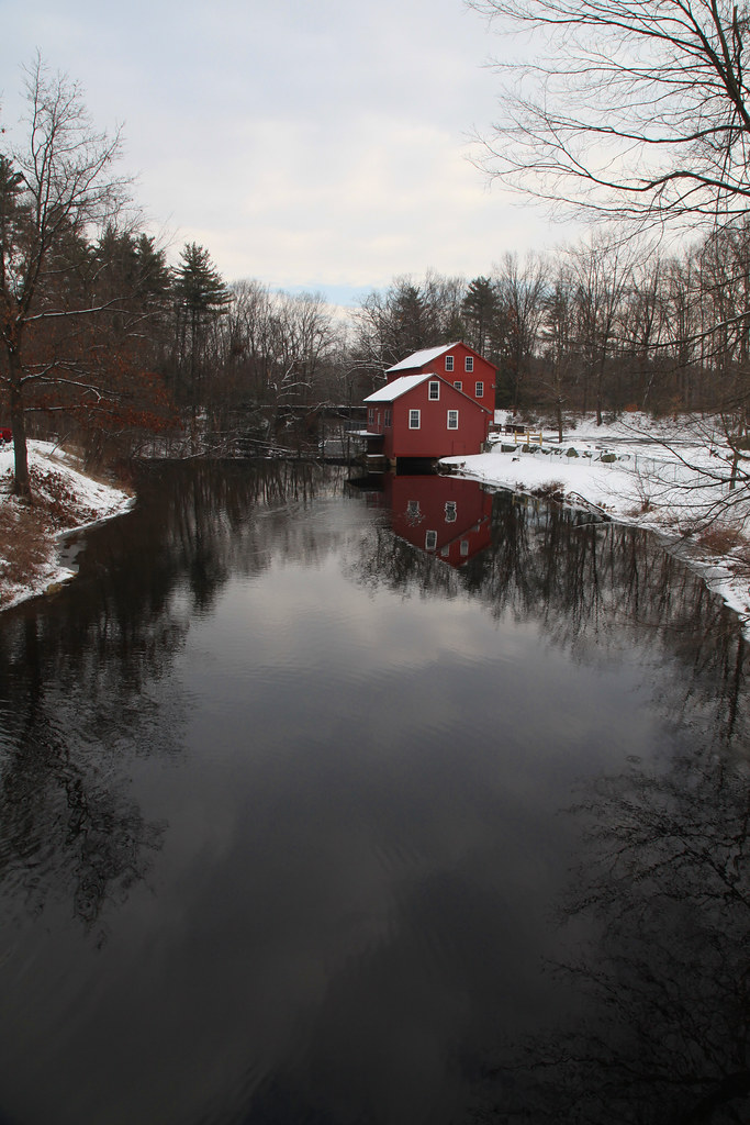
Refections on a Winter's day

DSC00331.JPG

DSC_0932 - Version 2

DSC00334.JPG

DSC00324.JPG

EOS 40D_2650

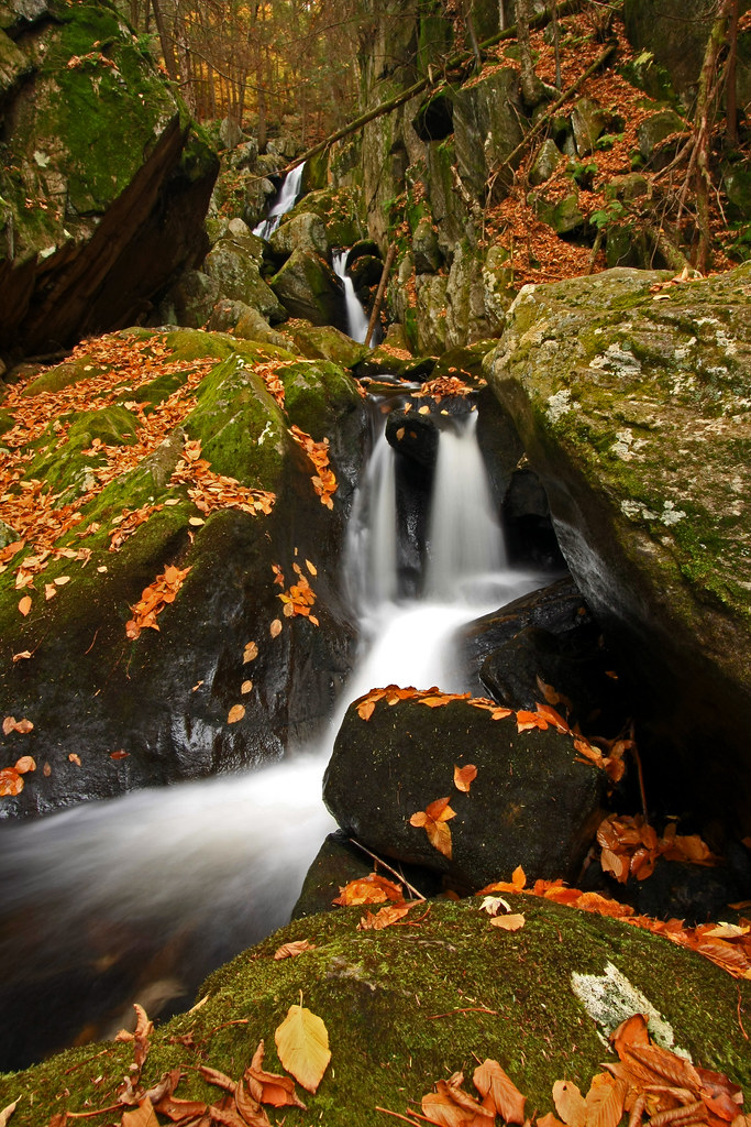
Goldmine Brook Falls - Chester, MA

DSC00327.JPG
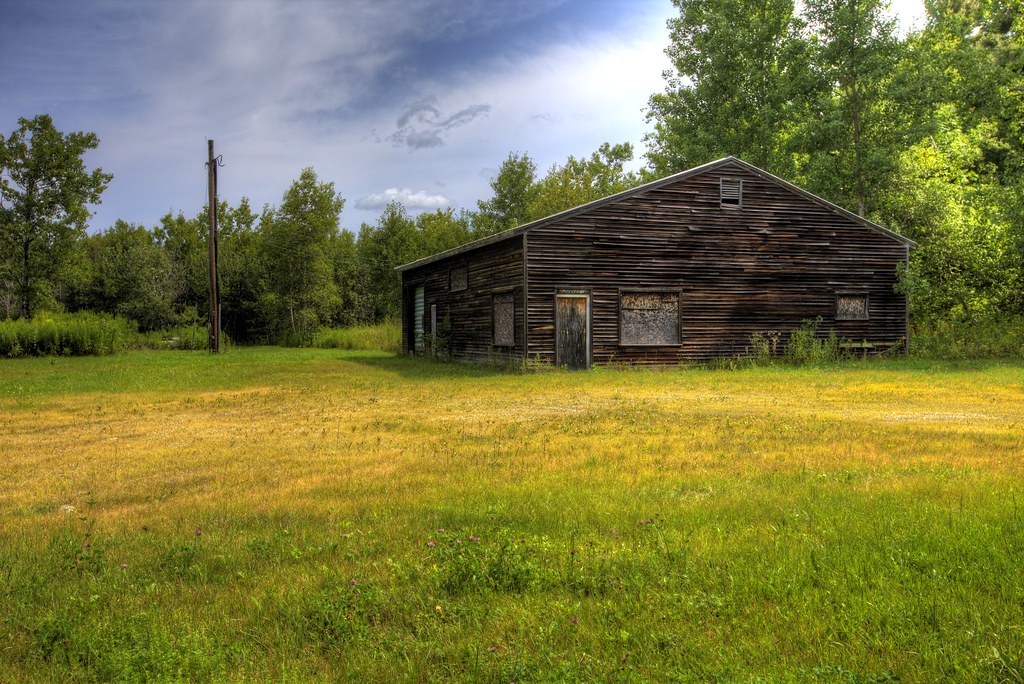
Office No More
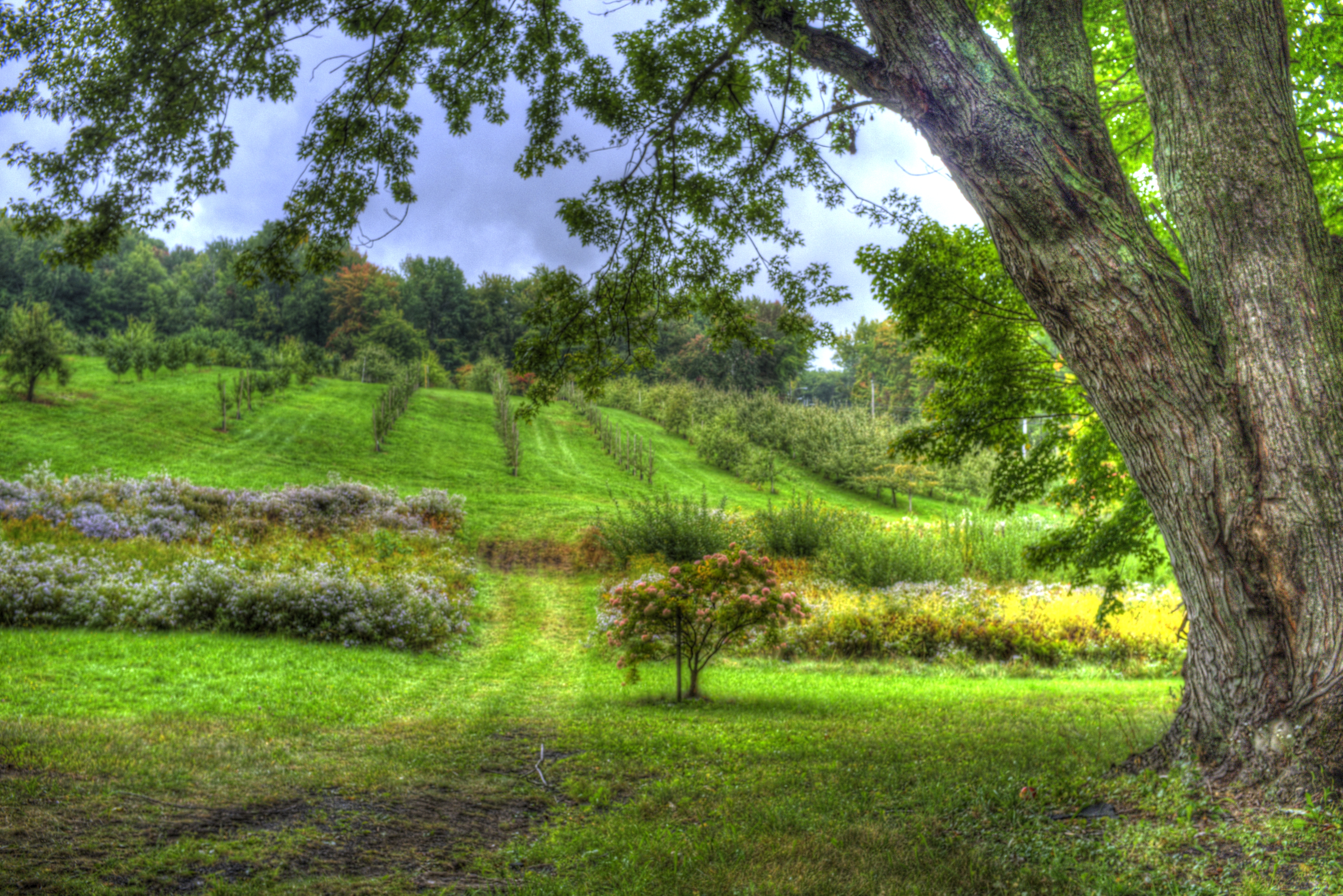
West Parish Orchard

EOS 40D_2638

DSC00321.JPG

EOS 40D_2657

The going gets steep.

EOS 40D_2641
Topographic Map of Huntington, MA, USA
Find elevation by address:

Places in Huntington, MA, USA:
Places near Huntington, MA, USA:
7 Basket St
31 Basket St
Huntington Rd, Huntington, MA, USA
11 Skyline Trail
4 Higgins Rd
Sunset Lane
County Road
60 New State Rd
91 Jourdan Rd
208 Skyline Trail
Littleville
251 Skyline Trail
22 Nagler Cross Rd
115 County Rd
33 Church Rd
13 E River Rd
Blandford Service Plaza Eastbound
14 Beulah Land Rd
106 Pond Brook Rd
138 Pond Brook Rd
Recent Searches:
- Elevation of Steadfast Ct, Daphne, AL, USA
- Elevation of Lagasgasan, X+CQH, Tiaong, Quezon, Philippines
- Elevation of Rojo Ct, Atascadero, CA, USA
- Elevation of Flagstaff Drive, Flagstaff Dr, North Carolina, USA
- Elevation of Avery Ln, Lakeland, FL, USA
- Elevation of Woolwine, VA, USA
- Elevation of Lumagwas Diversified Farmers Multi-Purpose Cooperative, Lumagwas, Adtuyon, RV32+MH7, Pangantucan, Bukidnon, Philippines
- Elevation of Homestead Ridge, New Braunfels, TX, USA
- Elevation of Orchard Road, Orchard Rd, Marlborough, NY, USA
- Elevation of 12 Hutchinson Woods Dr, Fletcher, NC, USA