Elevation of Hunter, KS, USA
Location: United States > Kansas > Mitchell County > Custer >
Longitude: -98.397283
Latitude: 39.2341752
Elevation: 488m / 1601feet
Barometric Pressure: 96KPa
Elevation Map:
Satellite Map:
Related Photos:

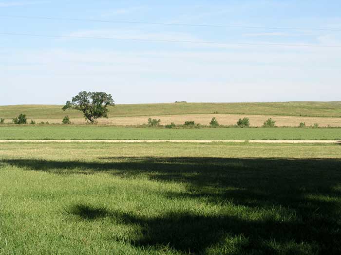
P1012043

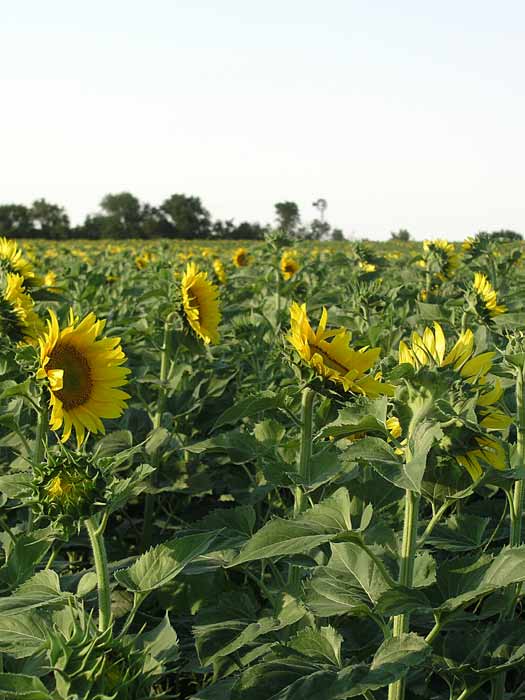
P1012281
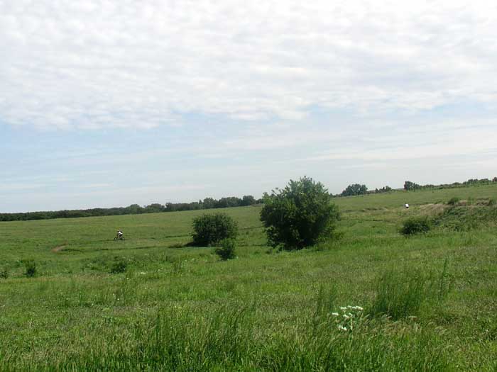
P1012044
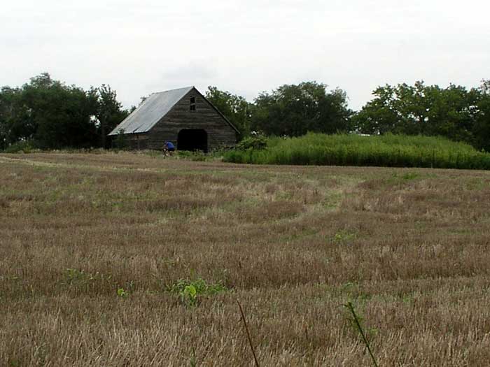
P1012217
P1012174
P1012052
P1012115
P1012145
P1012046
P1012225
P1012136

P1012226
Topographic Map of Hunter, KS, USA
Find elevation by address:

Places in Hunter, KS, USA:
Places near Hunter, KS, USA:
1st St, Hunter, KS, USA
Custer
Union Rd, Sylvan Grove, KS, USA
Orange
Grant
Main St, Lincoln, KS, USA
Lincoln County
Scott
1890 N 215th Rd
1890 N 215th Rd
Beaver
Mills Ave, Barnard, KS, USA
Barnard
Wilson
Logan
Beverly
Main St, Beverly, KS, USA
Colorado
Main St, Beverly, KS, USA
Solomon
Recent Searches:
- Elevation of Rojo Ct, Atascadero, CA, USA
- Elevation of Flagstaff Drive, Flagstaff Dr, North Carolina, USA
- Elevation of Avery Ln, Lakeland, FL, USA
- Elevation of Woolwine, VA, USA
- Elevation of Lumagwas Diversified Farmers Multi-Purpose Cooperative, Lumagwas, Adtuyon, RV32+MH7, Pangantucan, Bukidnon, Philippines
- Elevation of Homestead Ridge, New Braunfels, TX, USA
- Elevation of Orchard Road, Orchard Rd, Marlborough, NY, USA
- Elevation of 12 Hutchinson Woods Dr, Fletcher, NC, USA
- Elevation of Holloway Ave, San Francisco, CA, USA
- Elevation of Norfolk, NY, USA