Elevation of Hunter Farm Rd, East Burke, VT, USA
Location: United States > Vermont > Caledonia County > Burke > East Burke >
Longitude: -71.939162
Latitude: 44.564621
Elevation: 346m / 1135feet
Barometric Pressure: 97KPa
Elevation Map:
Satellite Map:
Related Photos:

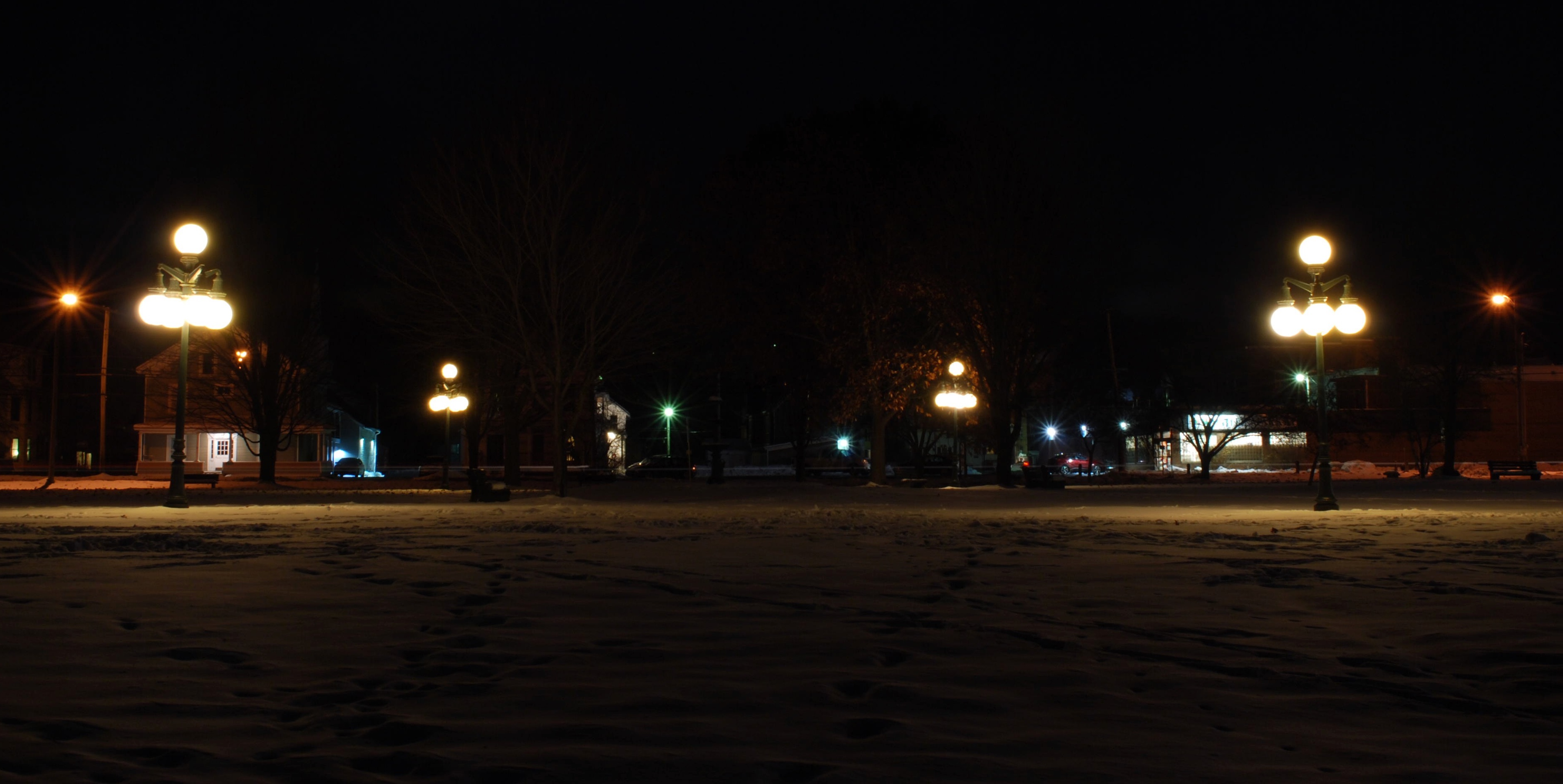
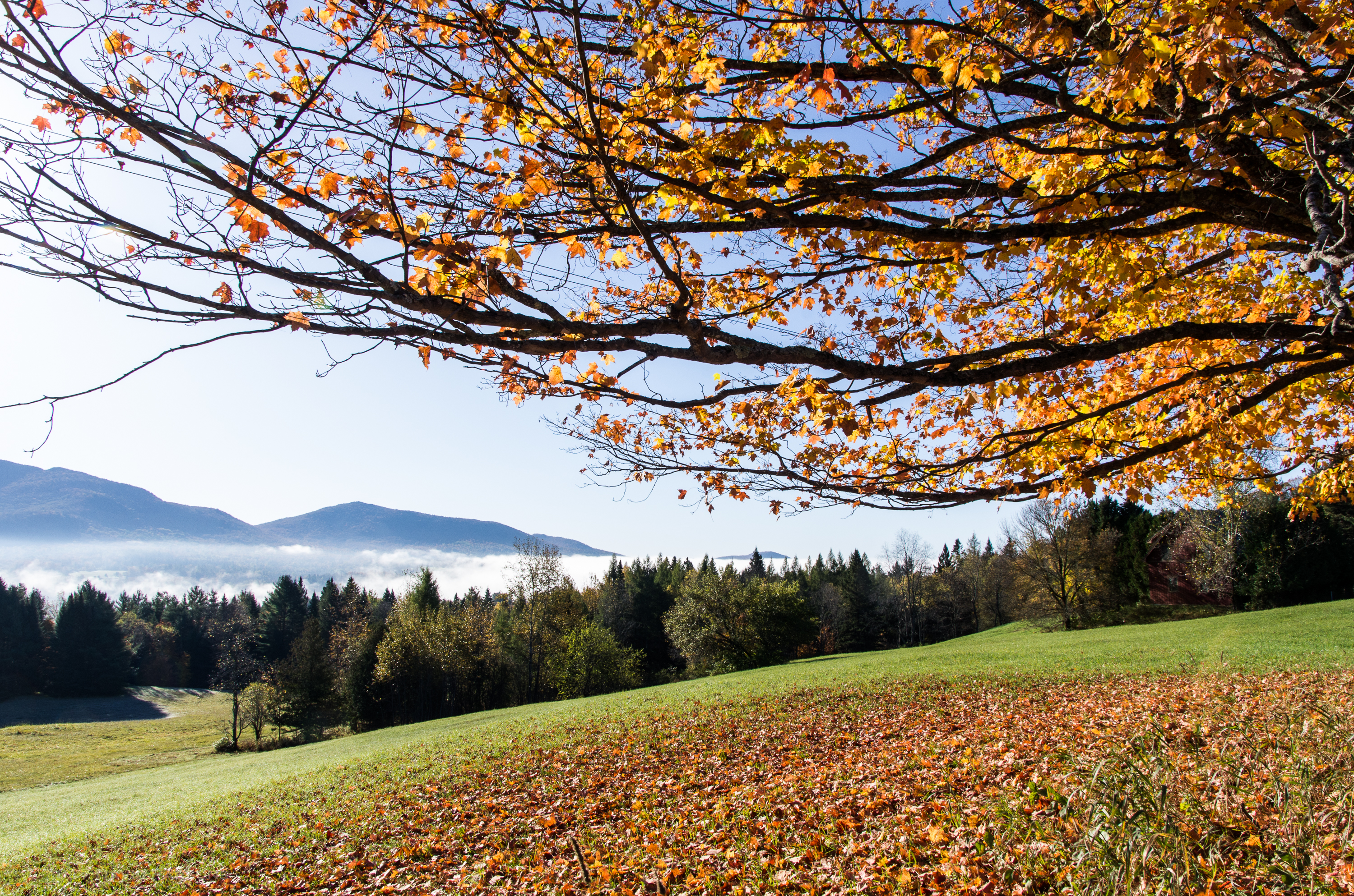
Looking Out the Barn Window

Mountain View Inn Barn
Gazebo views

The Back Barn
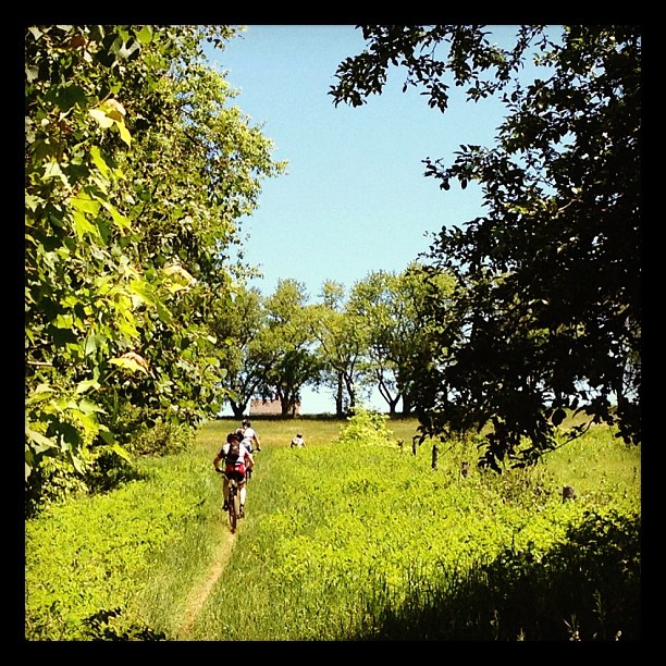
Riding the trails
View from the chapel

Kingdom Trails, Vermont - Mountain Biking
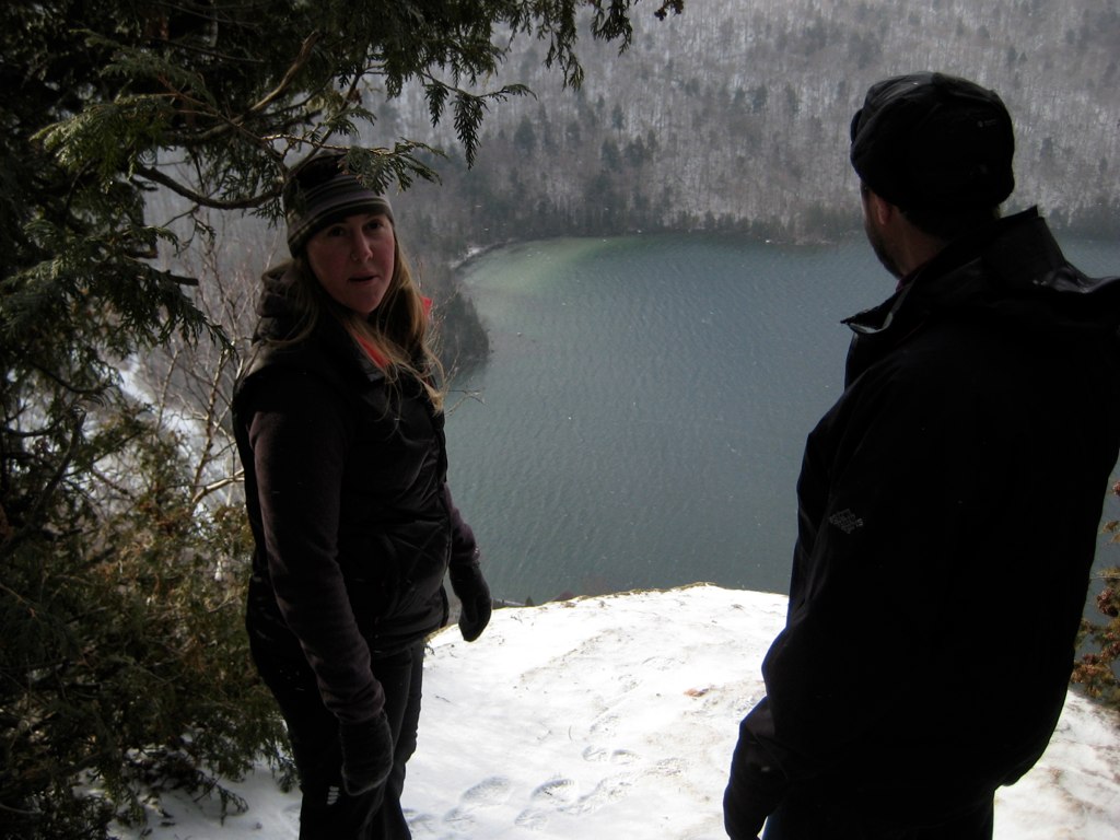
Lake view

Lake view
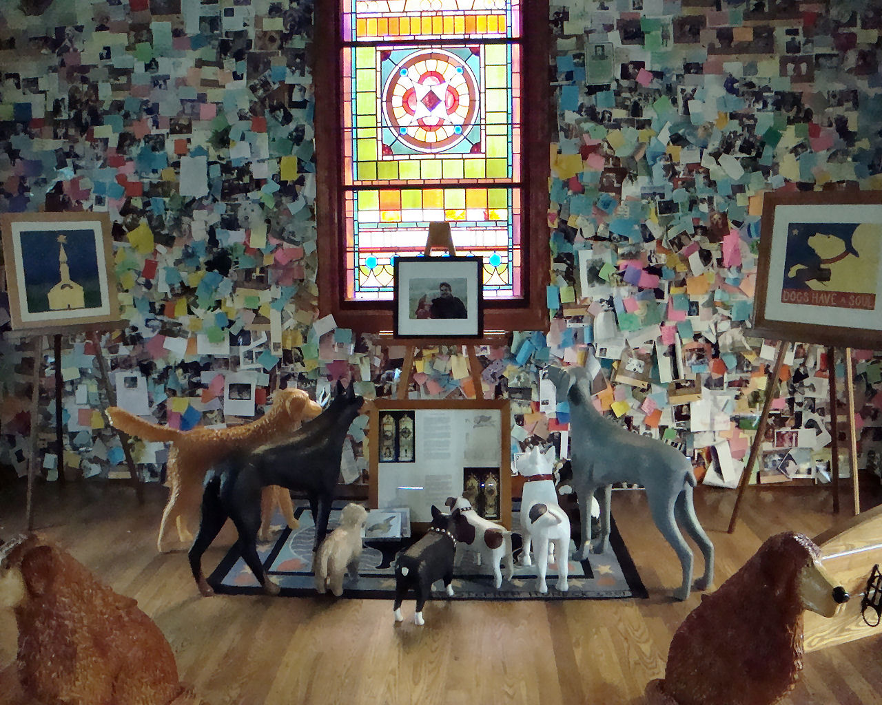
2013 Vacation #16-Dog Chapel Interior-St. Johnsbury, Vermont
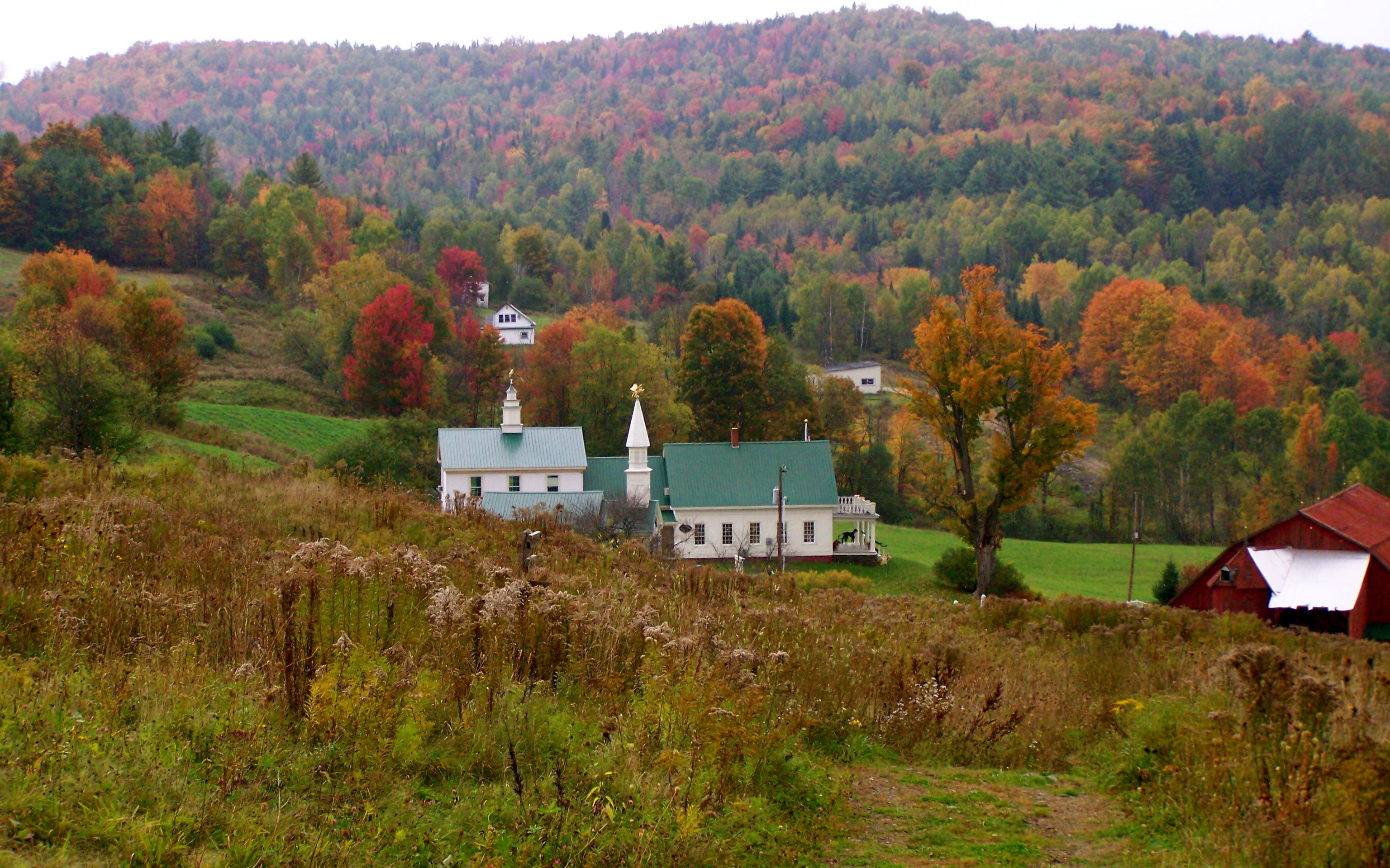
View of chapel/store

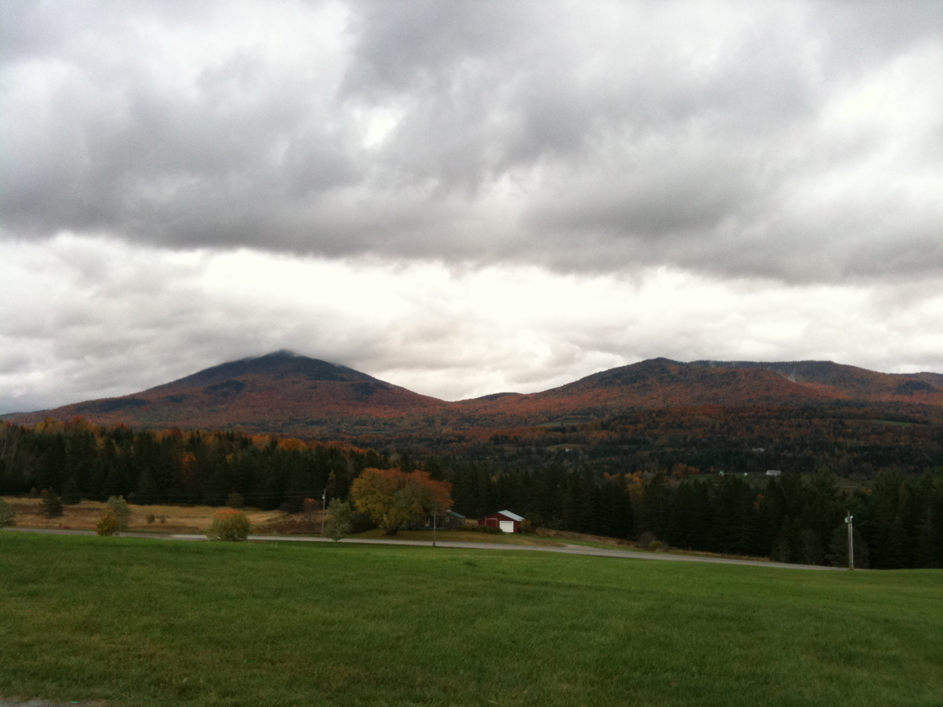
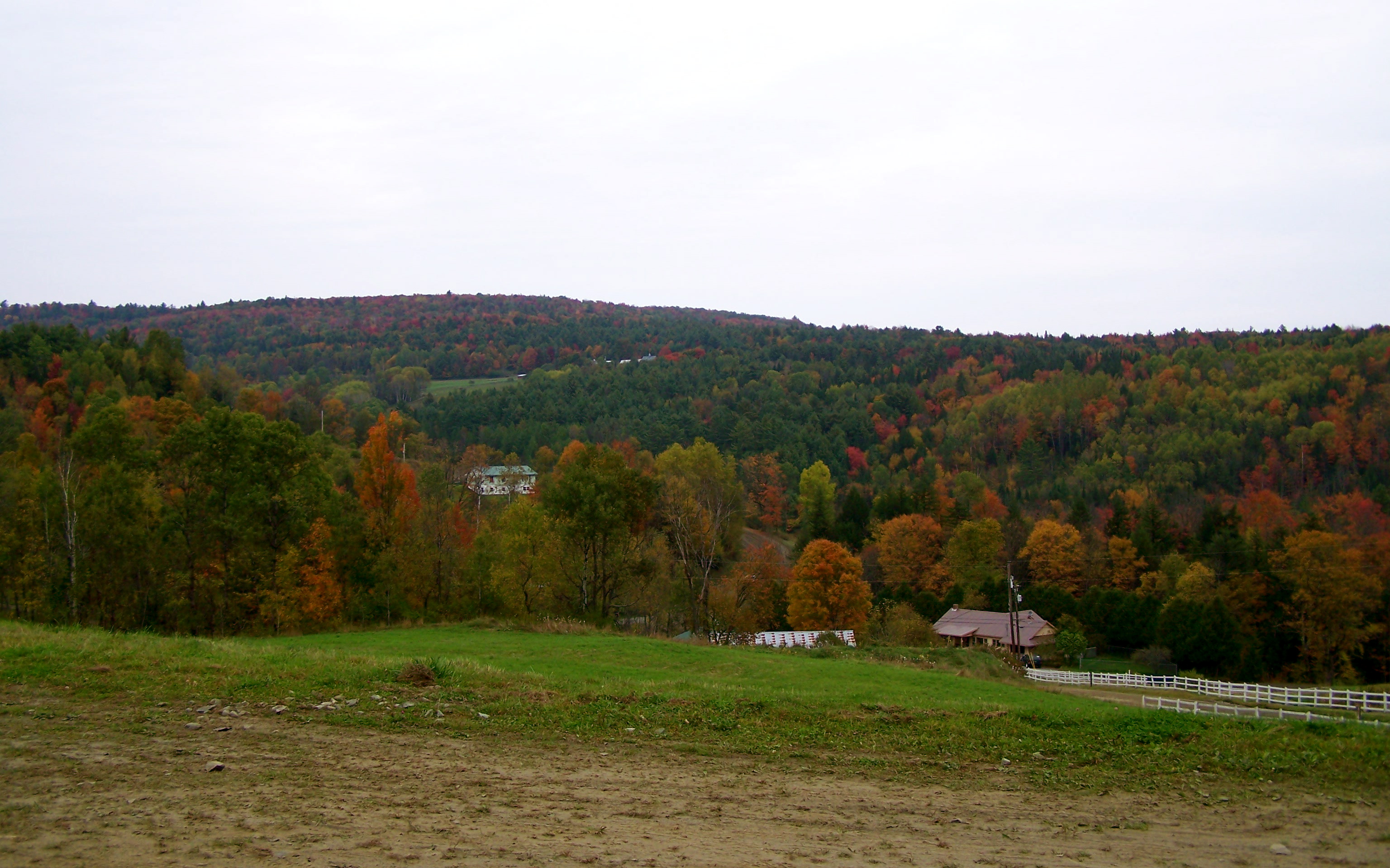
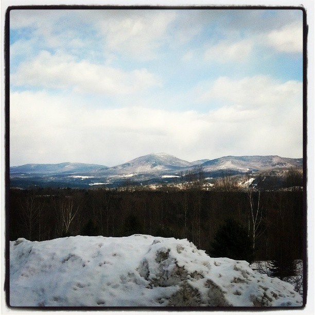
View from ridge
View from parking lot
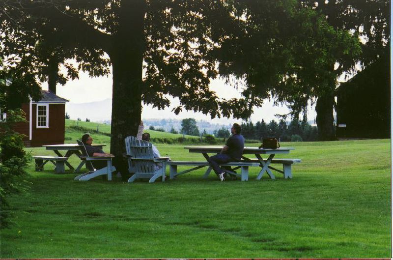
the view relaxing

View of chapel/store/pond from above
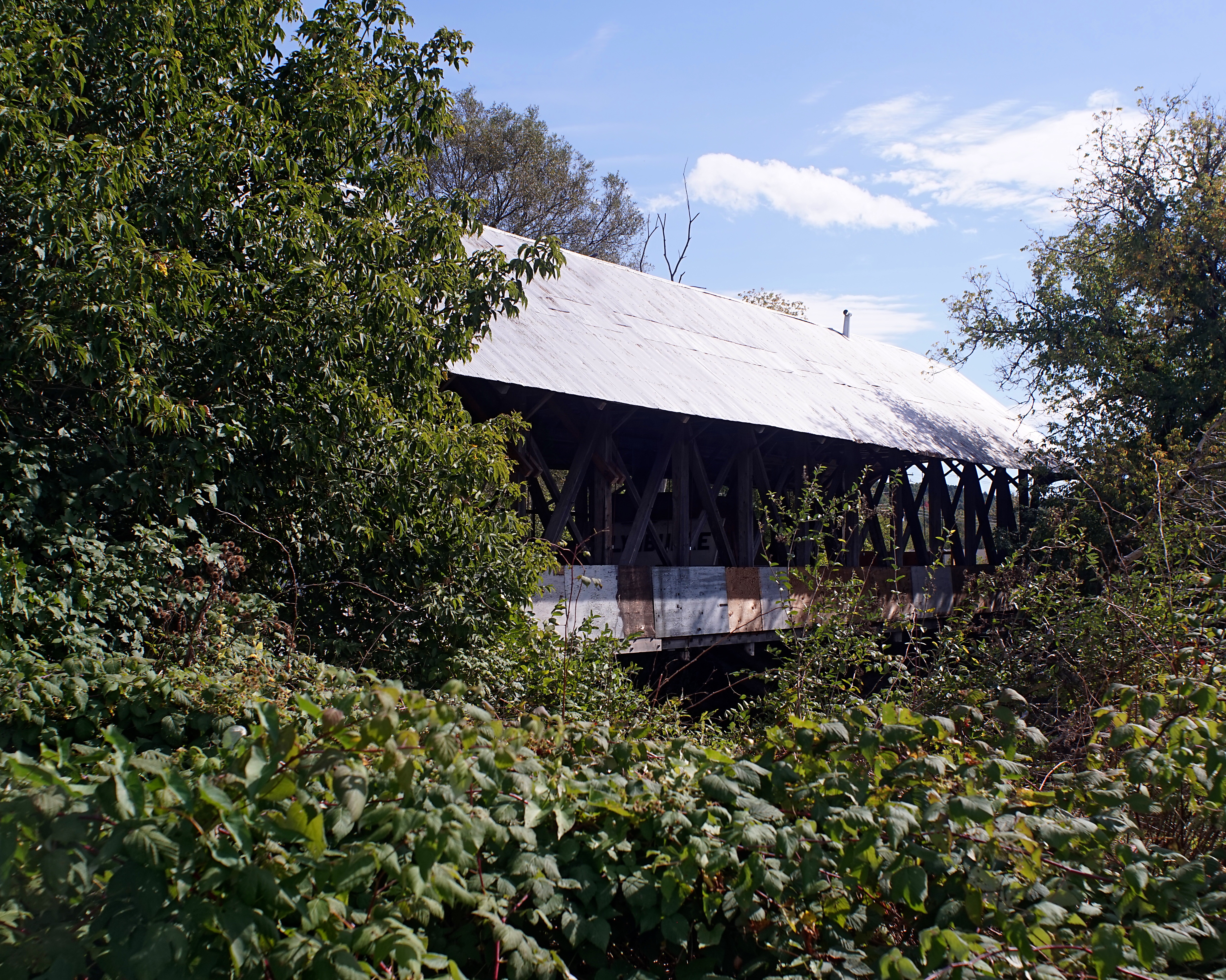
Sanborn Bridge II
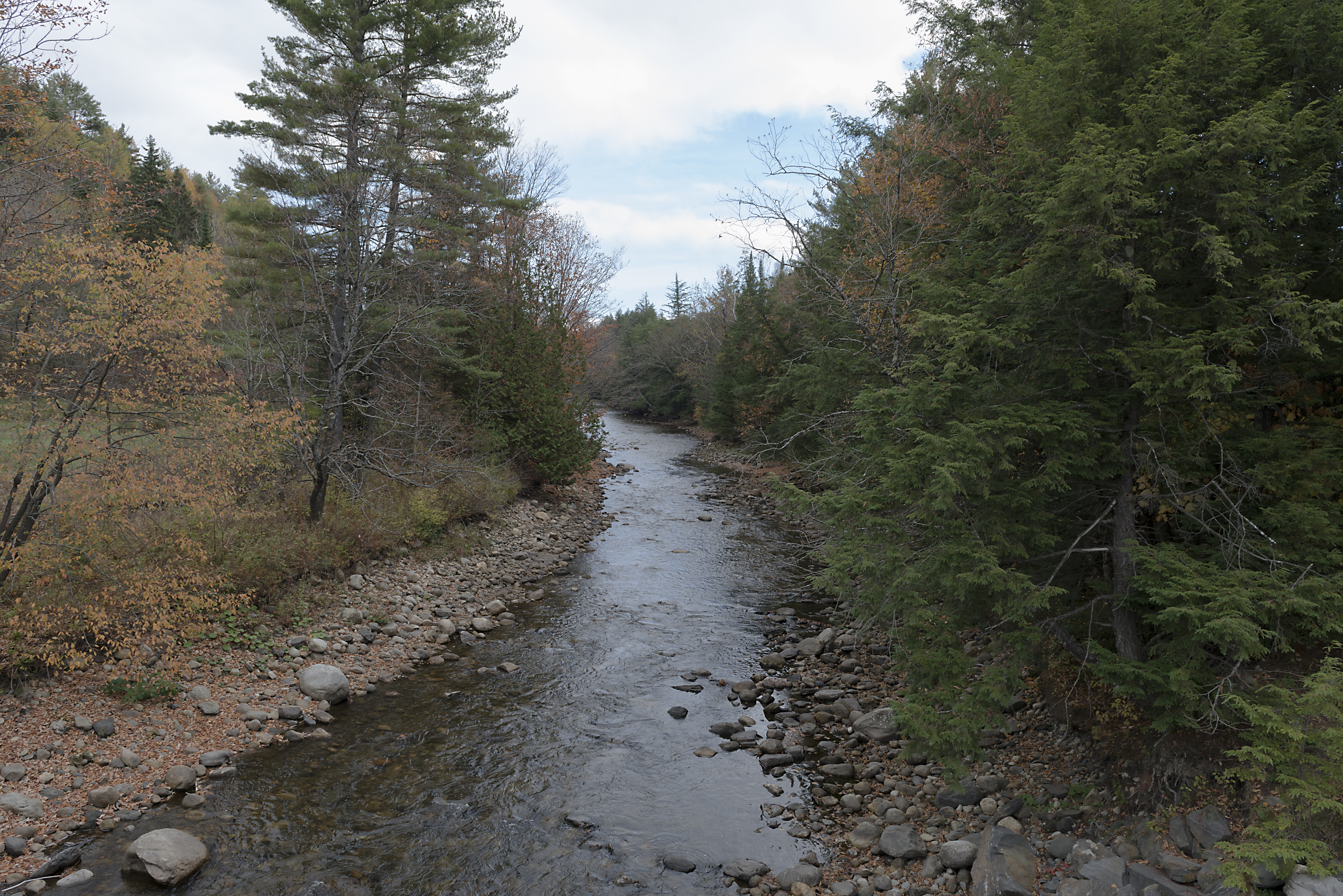
The East Branch of the Passumpsic River
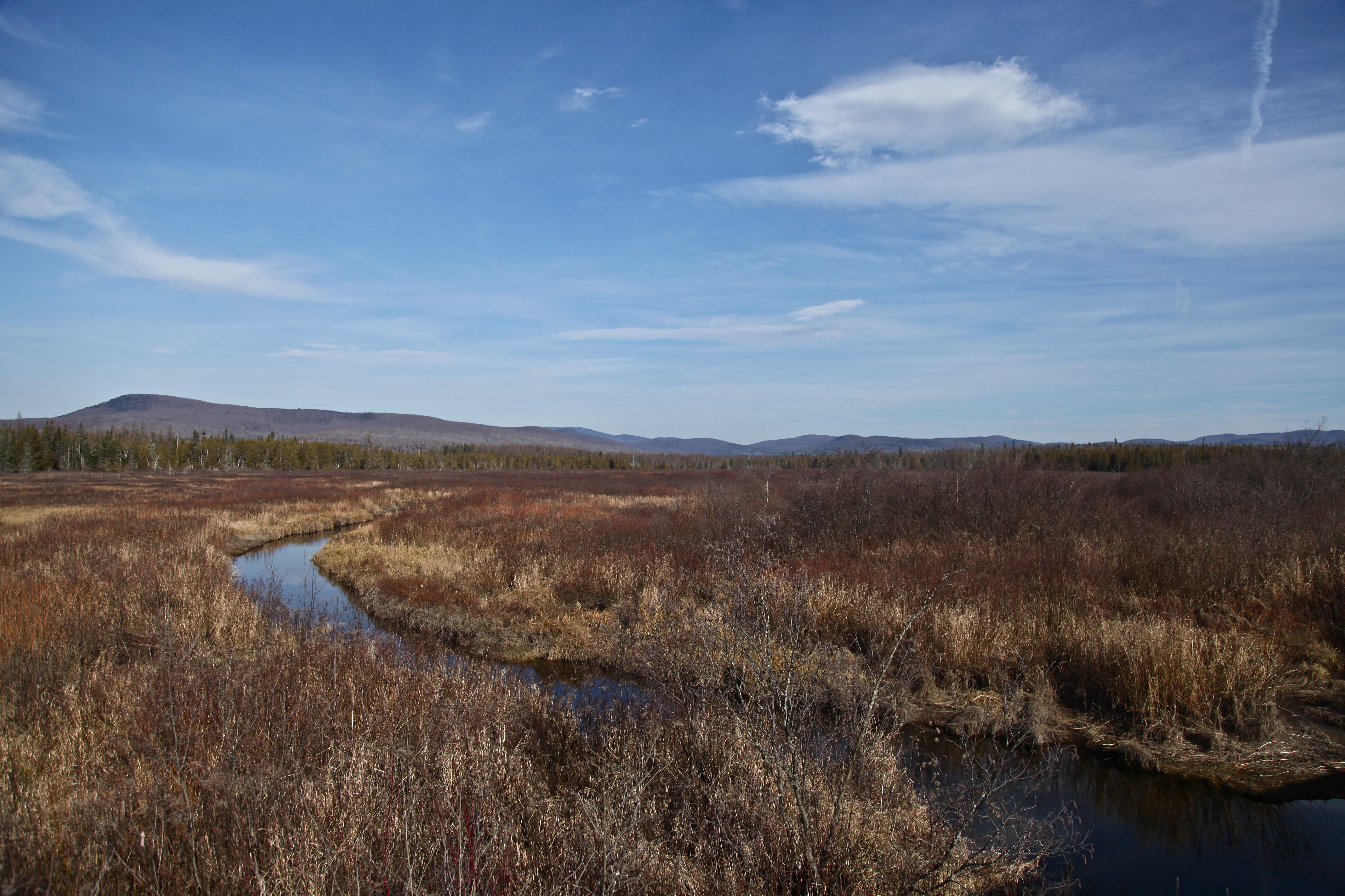
victory basin wildlife management area, vt.

Morning Fog

Icy Fall
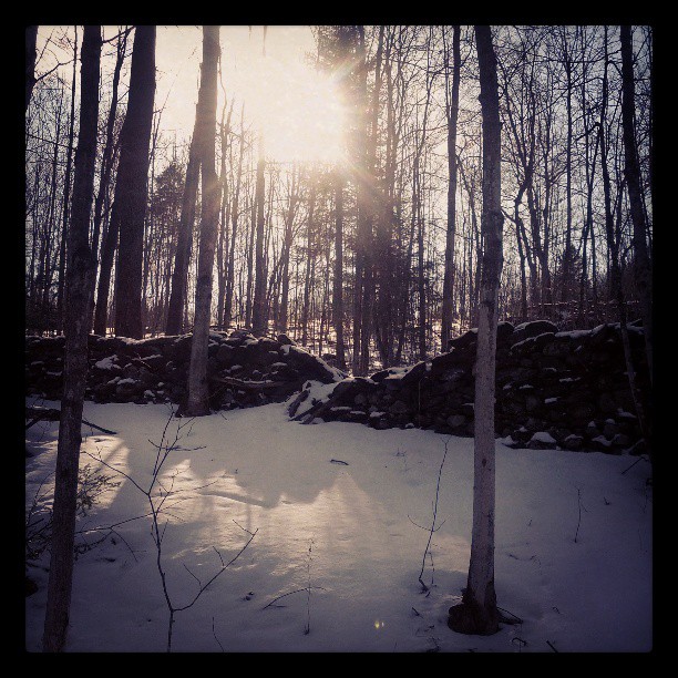
Wall, unmended
In the frosty highlands
Radar Ledges.NEF
Kingdom idyll
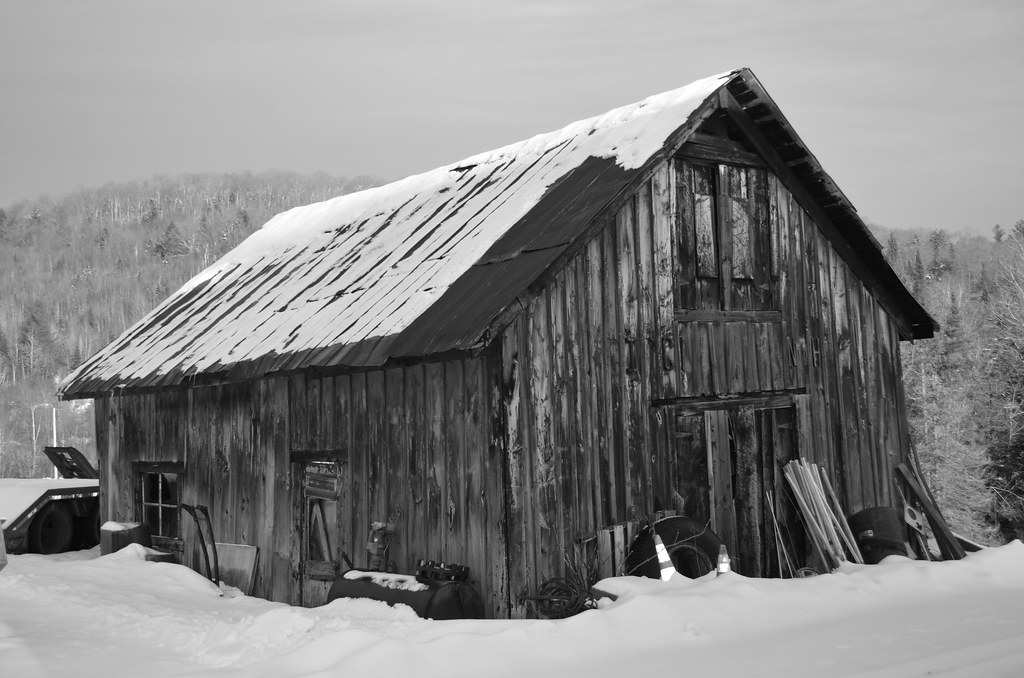
Old Barn

Log Landing
Darling Hill Road
Vermont_20120708_310.NEF
Vermont_20120707_190.NEF
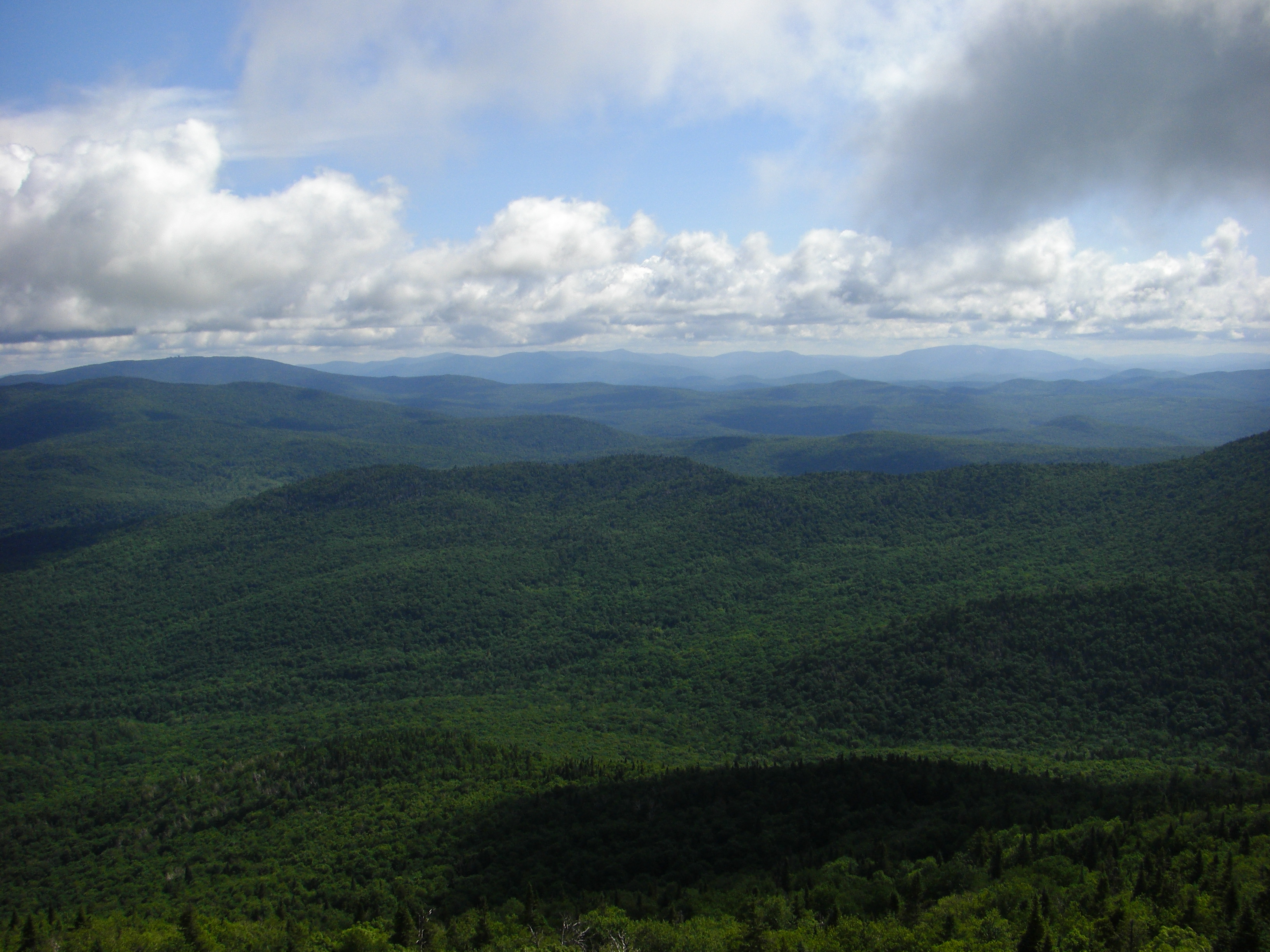
Northeast Kingdom, Vermont
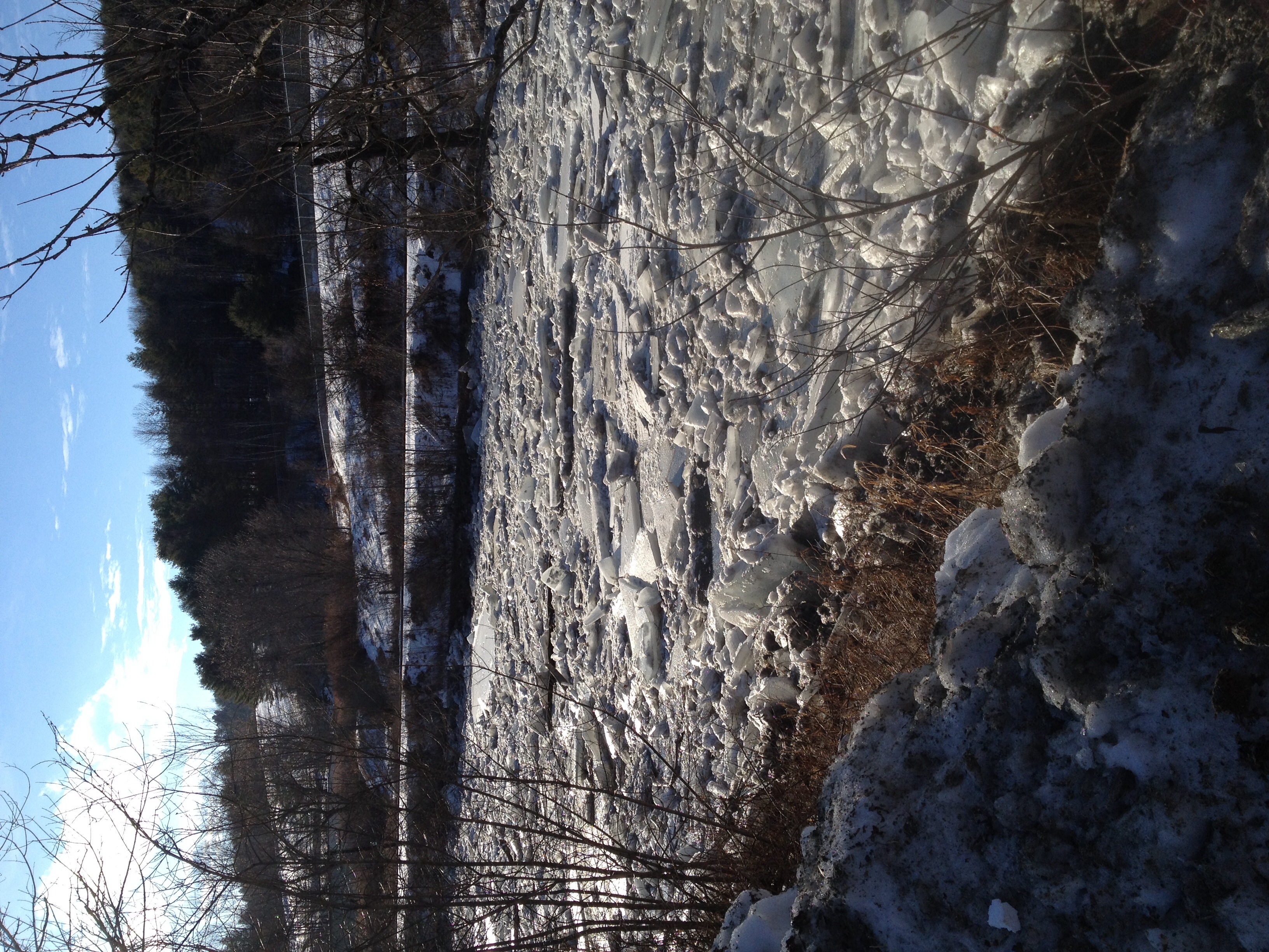
Ice jam during a midwinter thaw
Ashton at the falls.jpg
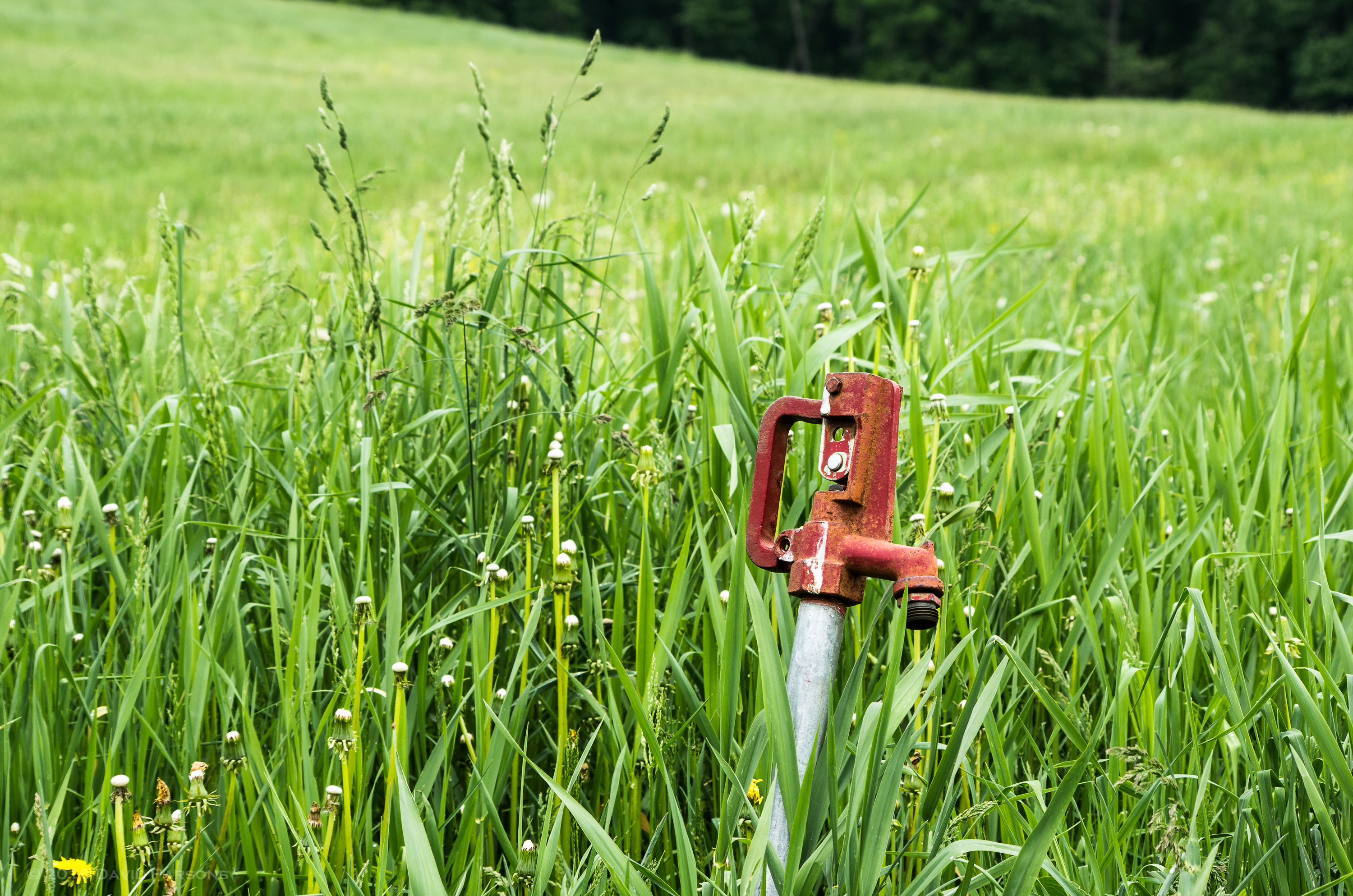
Chandler Pond Farm spigot
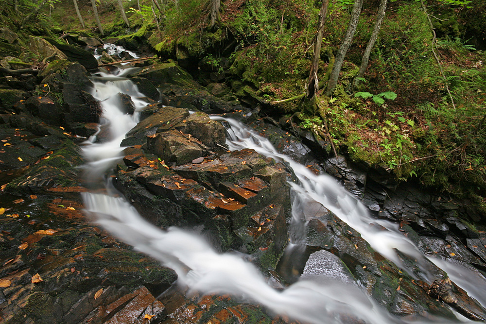
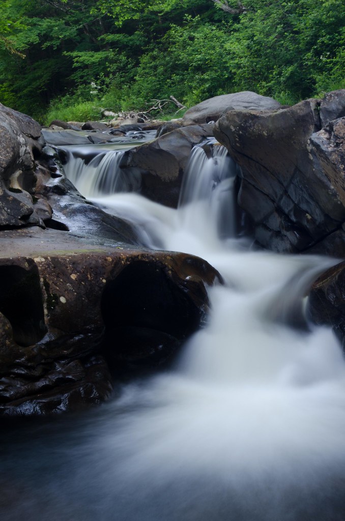
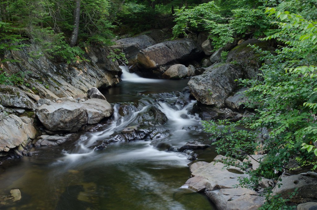
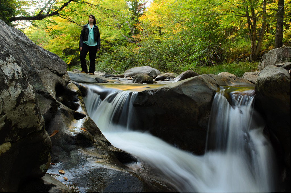
Mill Brook Cascades
Topographic Map of Hunter Farm Rd, East Burke, VT, USA
Find elevation by address:

Places near Hunter Farm Rd, East Burke, VT, USA:
East Burke
60 Alpine Ln
Burke Mountain Hotel & Conference Center
2264 Vt-114
Burke Mountain
Burke
14 Oakwood Ln
1147 Brown Farm Rd
Lyndon
668 Sheldon Brook Rd
438 Charles St
Lyndonville
Back Center Rd, Lyndonville, VT, USA
West Burke
3000 Victory Hill Rd
23 York St, Lyndonville, VT, USA
37 Ledge Rd
Industrial Parkway
Victory
Caledonia County
Recent Searches:
- Elevation of Woolwine, VA, USA
- Elevation of Lumagwas Diversified Farmers Multi-Purpose Cooperative, Lumagwas, Adtuyon, RV32+MH7, Pangantucan, Bukidnon, Philippines
- Elevation of Homestead Ridge, New Braunfels, TX, USA
- Elevation of Orchard Road, Orchard Rd, Marlborough, NY, USA
- Elevation of 12 Hutchinson Woods Dr, Fletcher, NC, USA
- Elevation of Holloway Ave, San Francisco, CA, USA
- Elevation of Norfolk, NY, USA
- Elevation of - San Marcos Pass Rd, Santa Barbara, CA, USA
- Elevation of th Pl SE, Issaquah, WA, USA
- Elevation of 82- D Rd, Captain Cook, HI, USA