Elevation of Hunsur, Karnataka, India
Location: India > Karnataka > Mysuru >
Longitude: 76.2884592
Latitude: 12.3009419
Elevation: 781m / 2562feet
Barometric Pressure: 92KPa
Elevation Map:
Satellite Map:
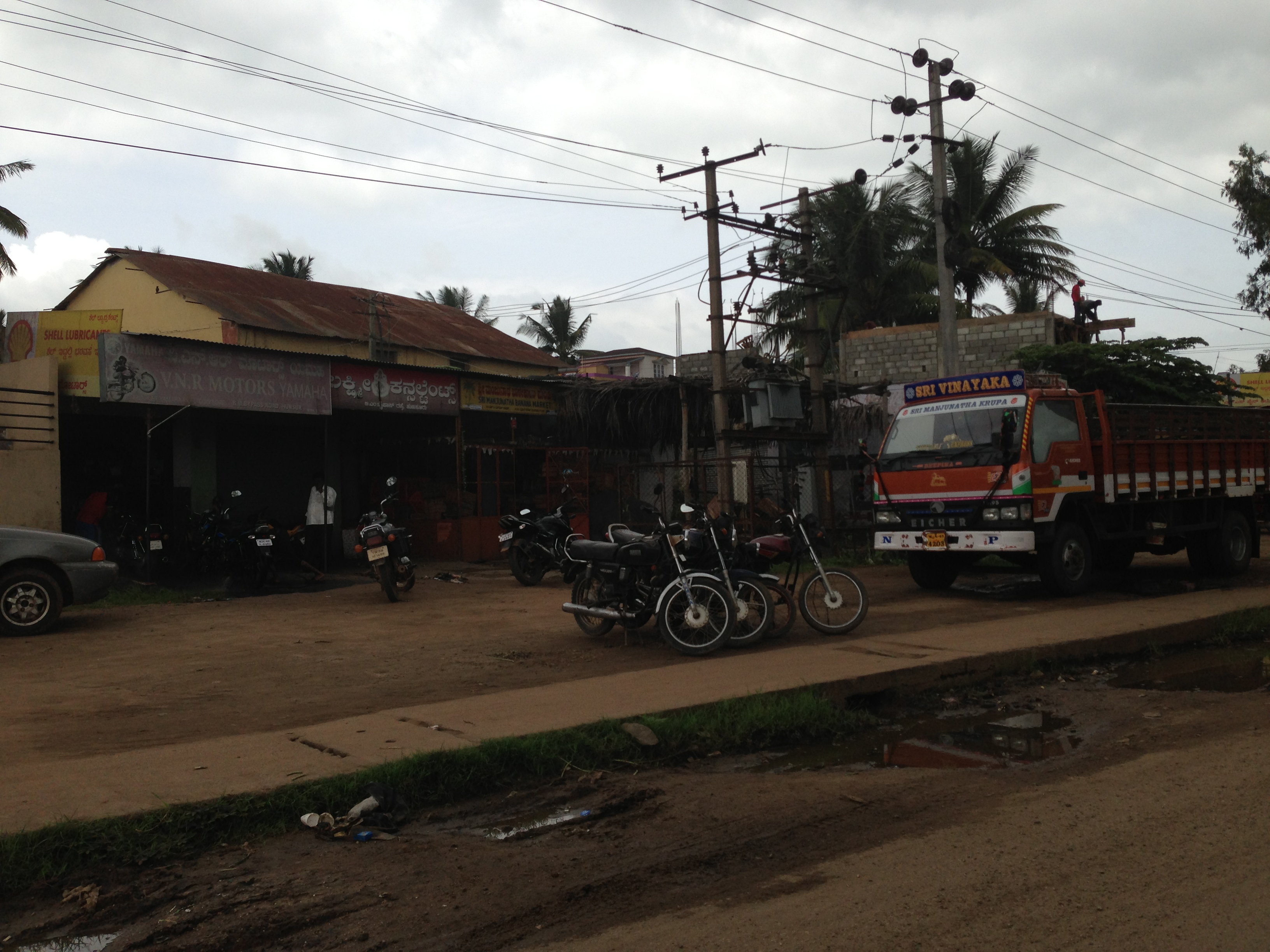
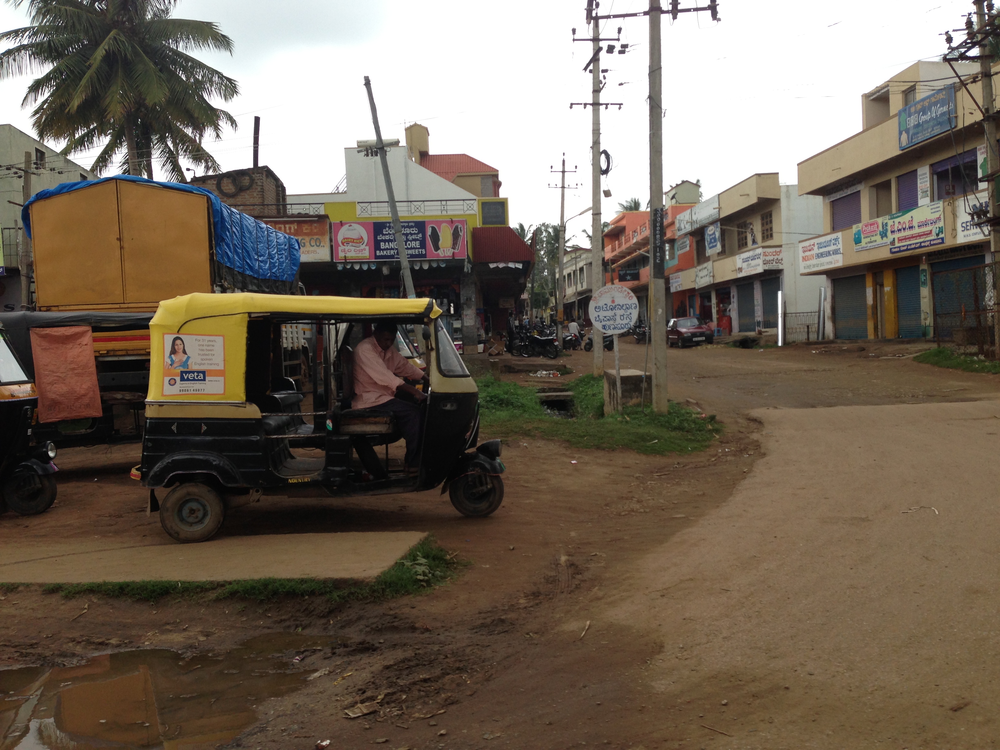
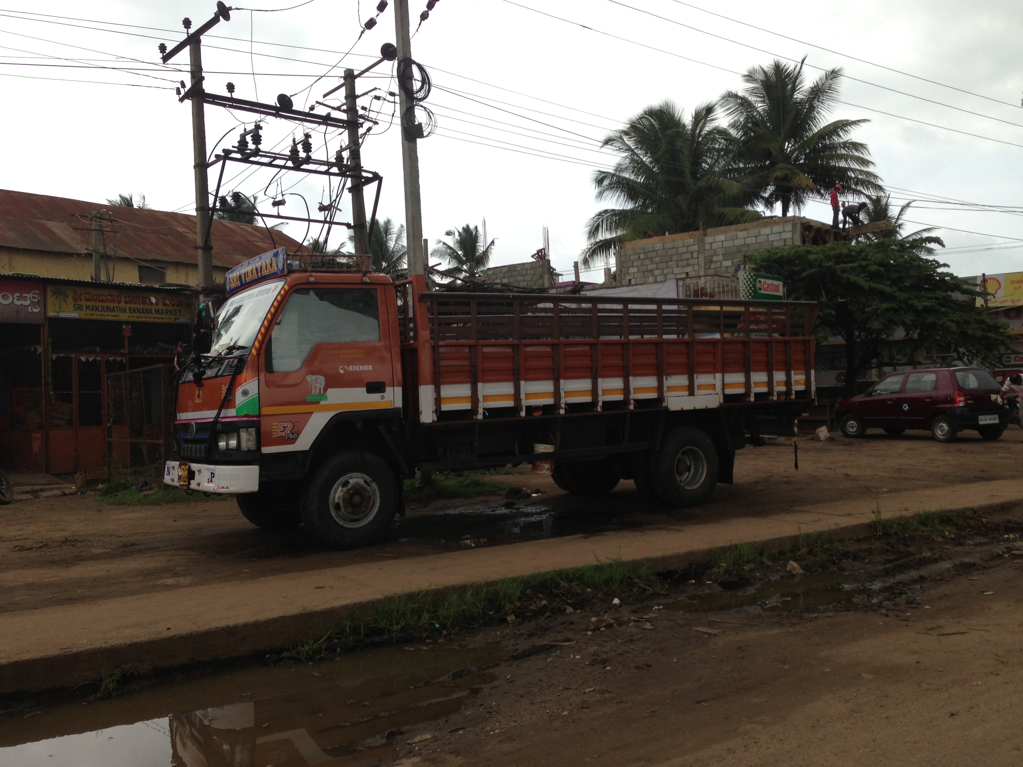
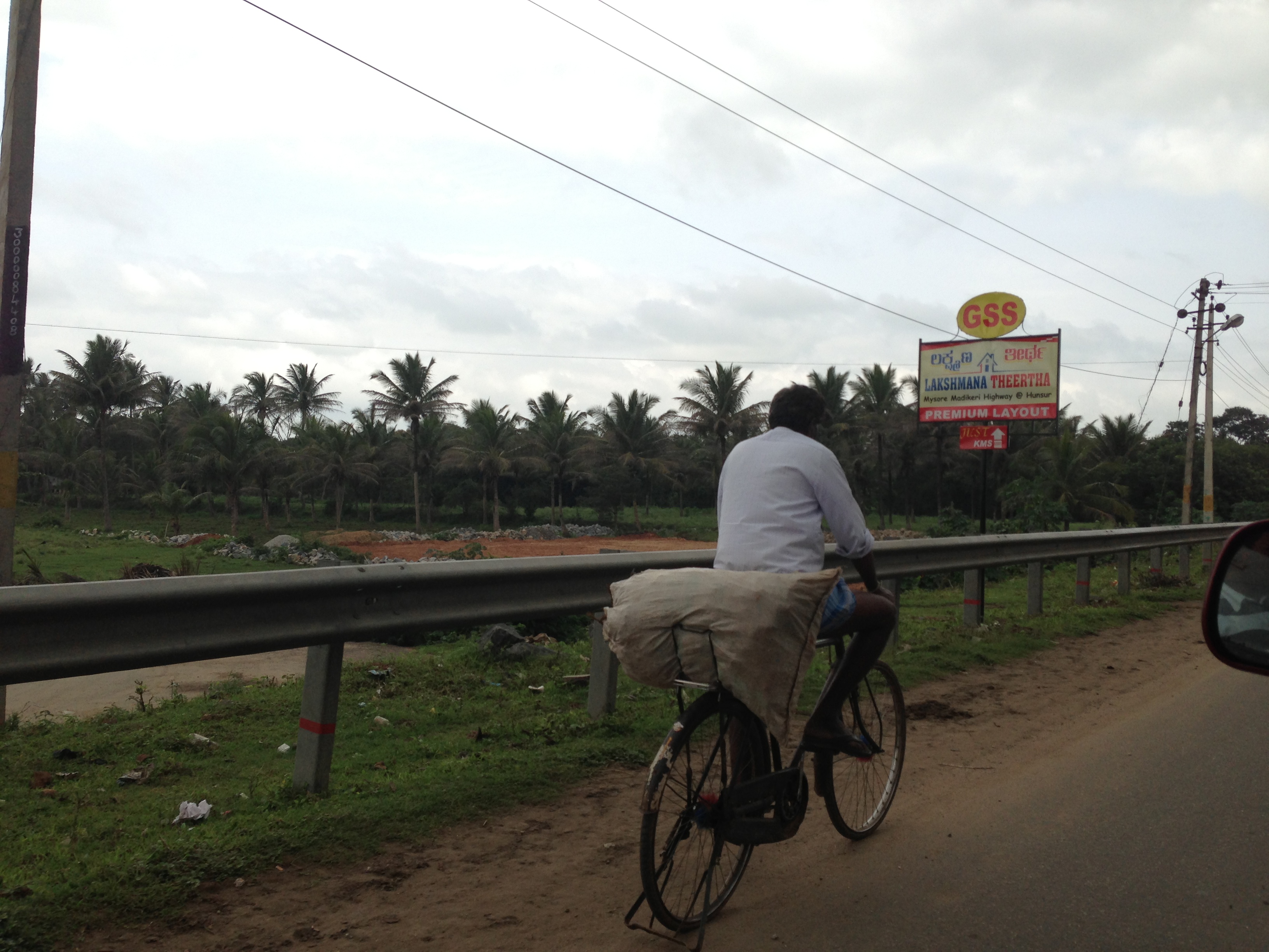
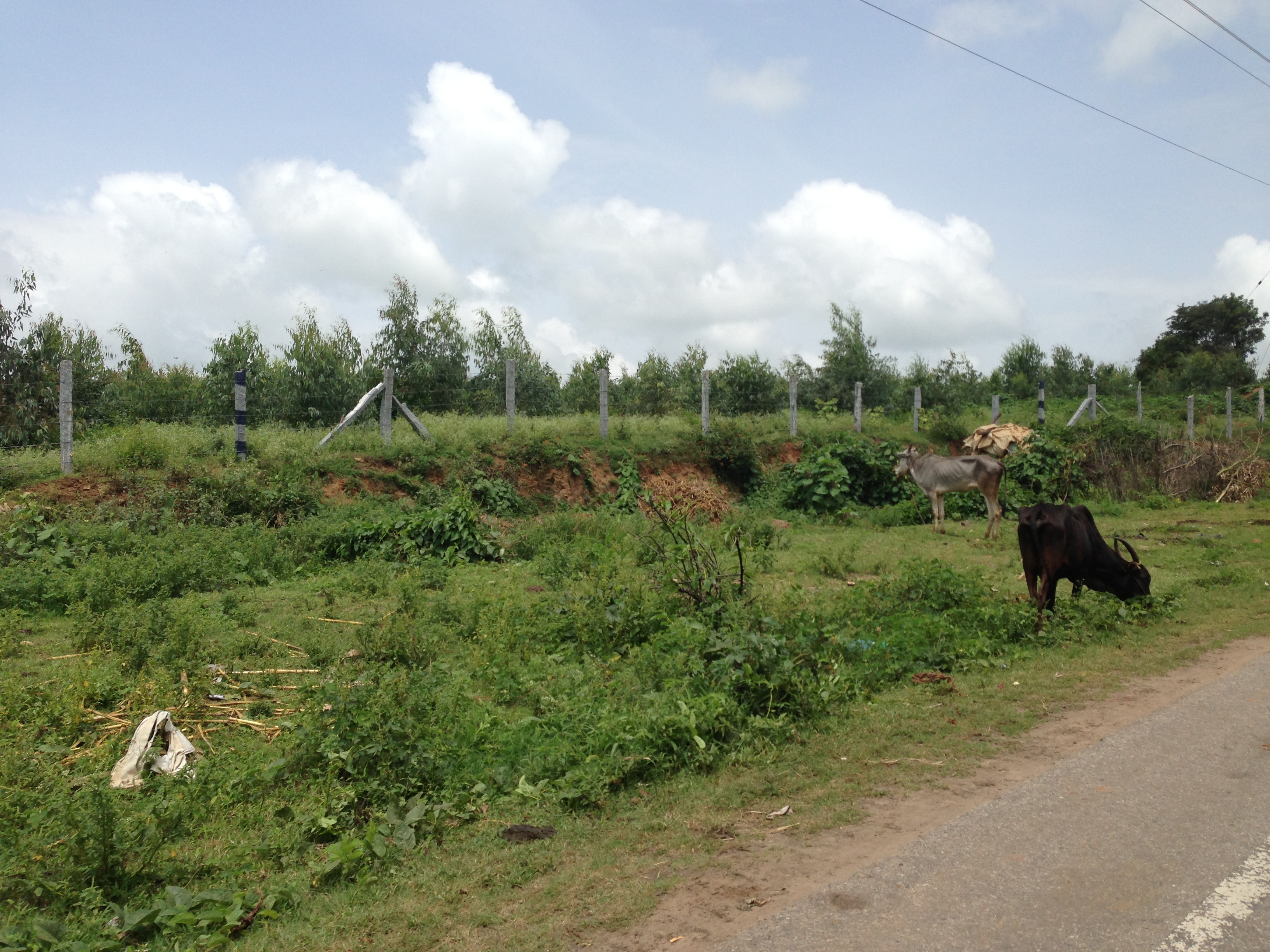
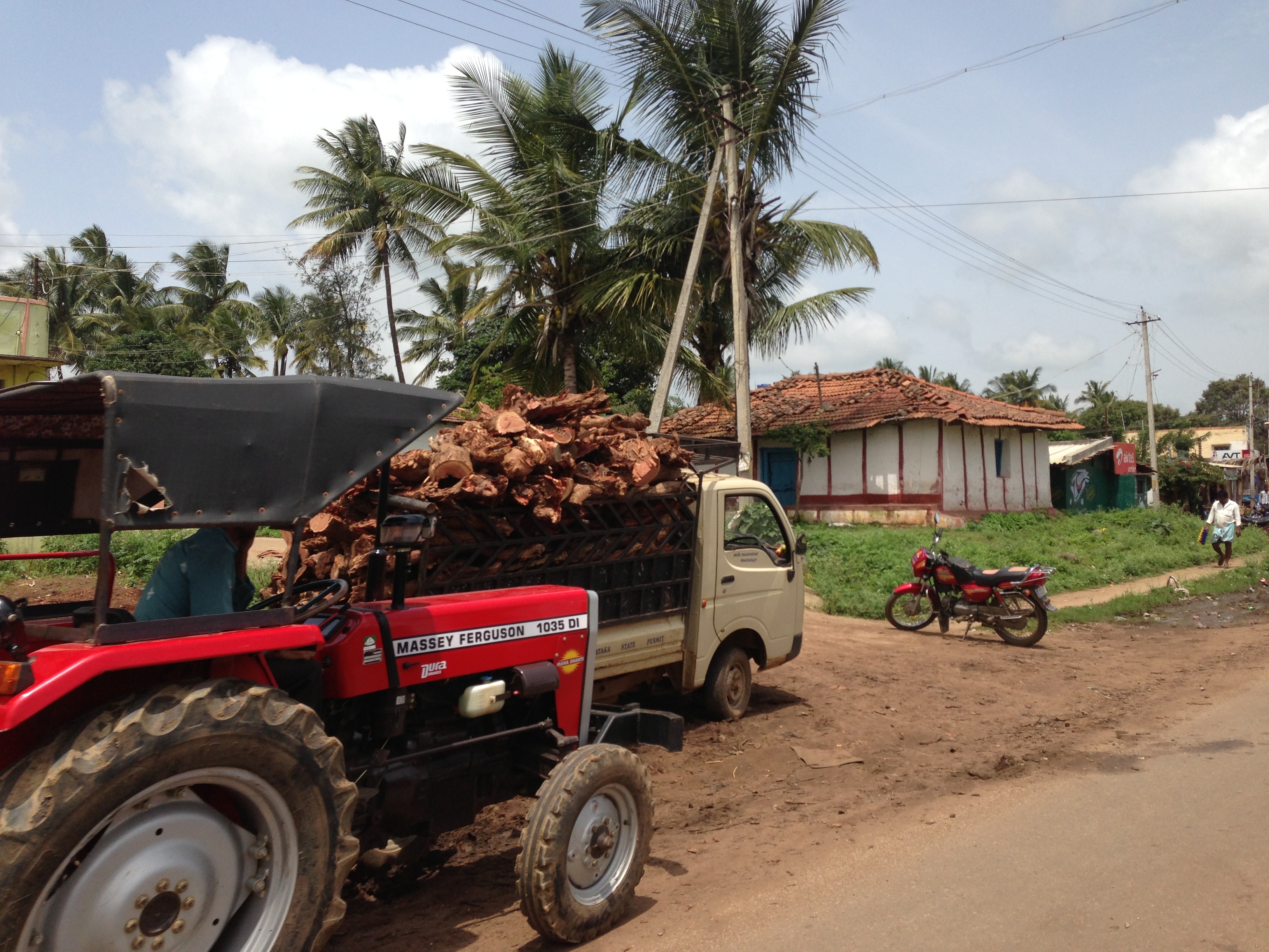
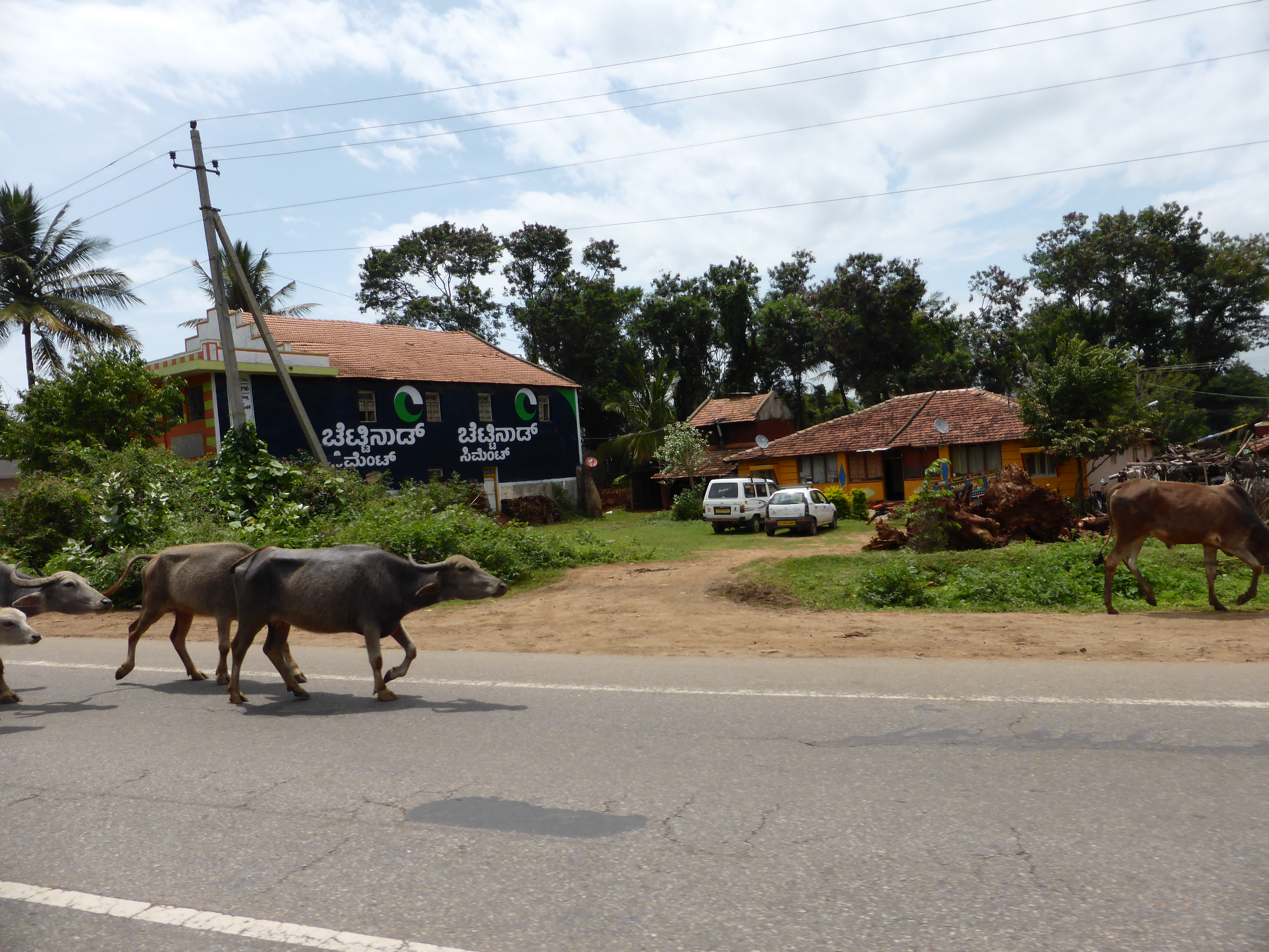
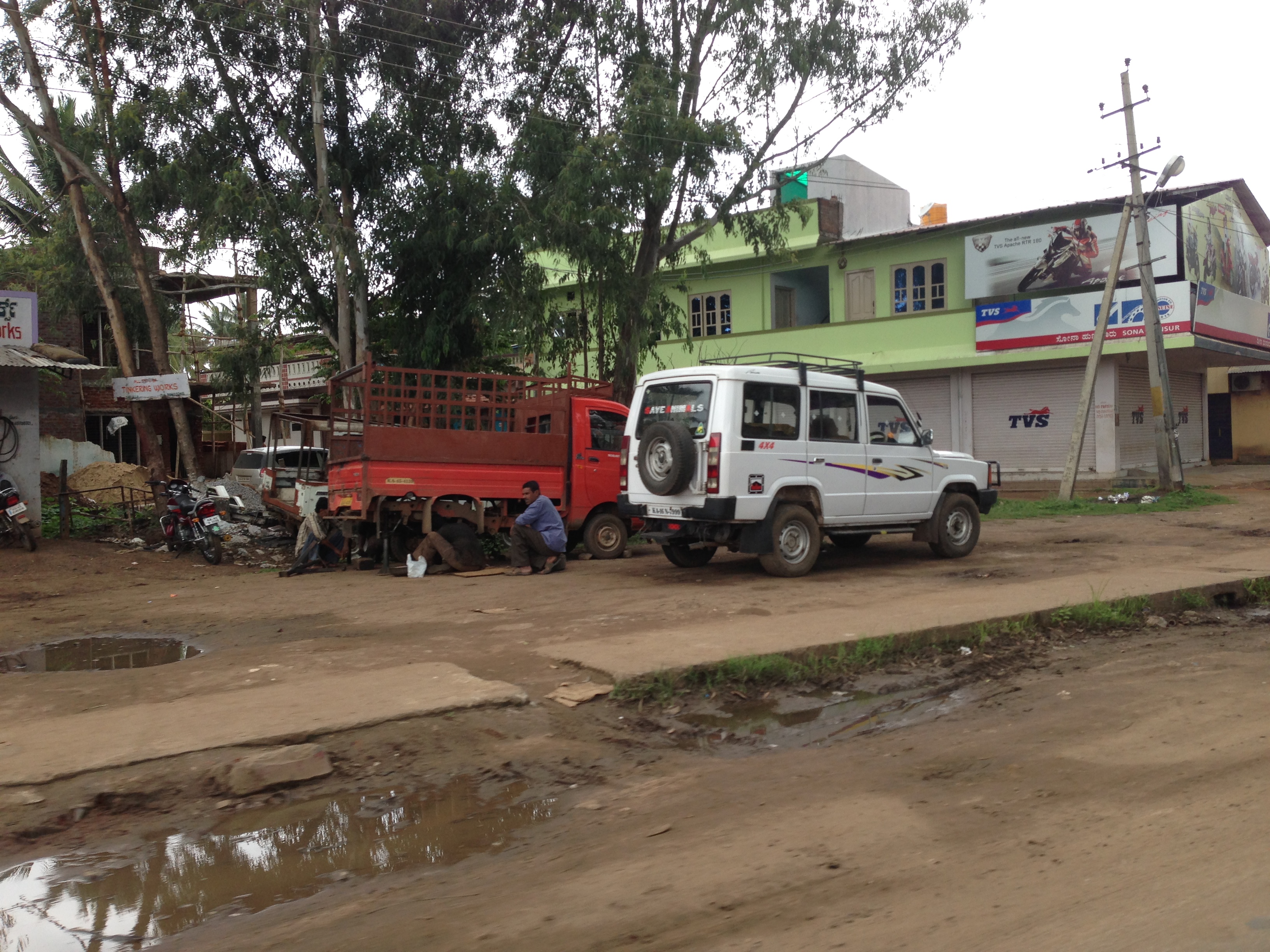
Related Photos:
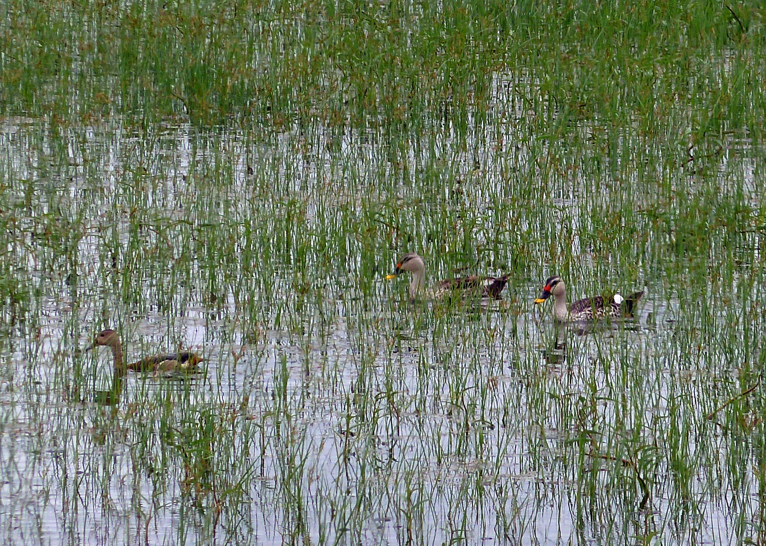
Indian spot-billed ducks

Picture 258
Picture 260
dare devil
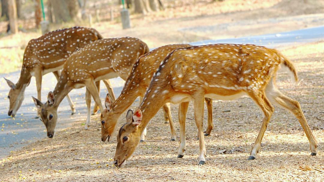
#nagarholenationalpark #karnataka #deer #vcreativephotography

Picture 245
Picture 247
Picture 246

Picture 249
Picture 248
Picture 253
Picture 251
Picture 254
Picture 255
Picture 257
Picture 259

Picture 261
Picture 263
Picture 1005
Picture 250
Picture 252
Topographic Map of Hunsur, Karnataka, India
Find elevation by address:

Places near Hunsur, Karnataka, India:
Mysuru
Krishnarajanagara
Periyapatna
Heggadadevankote
Devanoor
Oyo 46045 Coorg Gateway
Excel Public School
Kiadb Road Koorgalli
Infosys Leadership Institute
Sargur
Muda Sports Ground
Balmuri Falls
5th Cross Road, HIG, Sriramapura, Srirampura 2nd stage, Mysuru, Karnataka, India
Sriramapura
Hig
Kumbarakoppal
Oyo 6458 Golden Landmark
Kabini Reservoir
Mysuru
Jp Nagar
Recent Searches:
- Elevation of Holloway Ave, San Francisco, CA, USA
- Elevation of Norfolk, NY, USA
- Elevation of - San Marcos Pass Rd, Santa Barbara, CA, USA
- Elevation of th Pl SE, Issaquah, WA, USA
- Elevation of 82- D Rd, Captain Cook, HI, USA
- Elevation of Harlow CM20 2PR, UK
- Elevation of Shenyang Agricultural University, Dong Ling Lu, Shen He Qu, Shen Yang Shi, Liao Ning Sheng, China
- Elevation of Alpha Dr, Melbourne, FL, USA
- Elevation of Hiroshima University, 1-chōme-3-2 Kagamiyama, Higashihiroshima, Hiroshima -, Japan
- Elevation of Bernina Dr, Lake Arrowhead, CA, USA