Elevation of Hullett Ln, Rockfield, KY, USA
Location: United States > Kentucky > Warren County > Rockfield >
Longitude: -86.658411
Latitude: 36.9956784
Elevation: 155m / 509feet
Barometric Pressure: 99KPa
Elevation Map:
Satellite Map:
Related Photos:
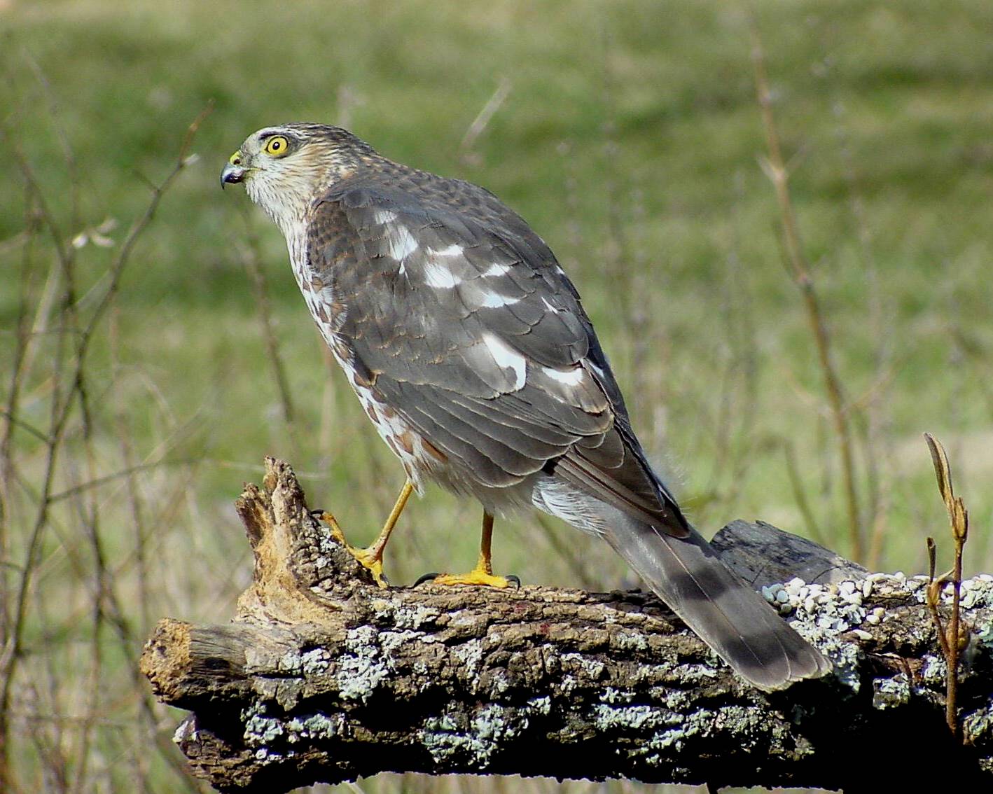
Sharp-shinned Hawk by Jackie B. Elmore 2-12-2005 Warren Co. KY

Rufous Hummer side view 10-22-2003
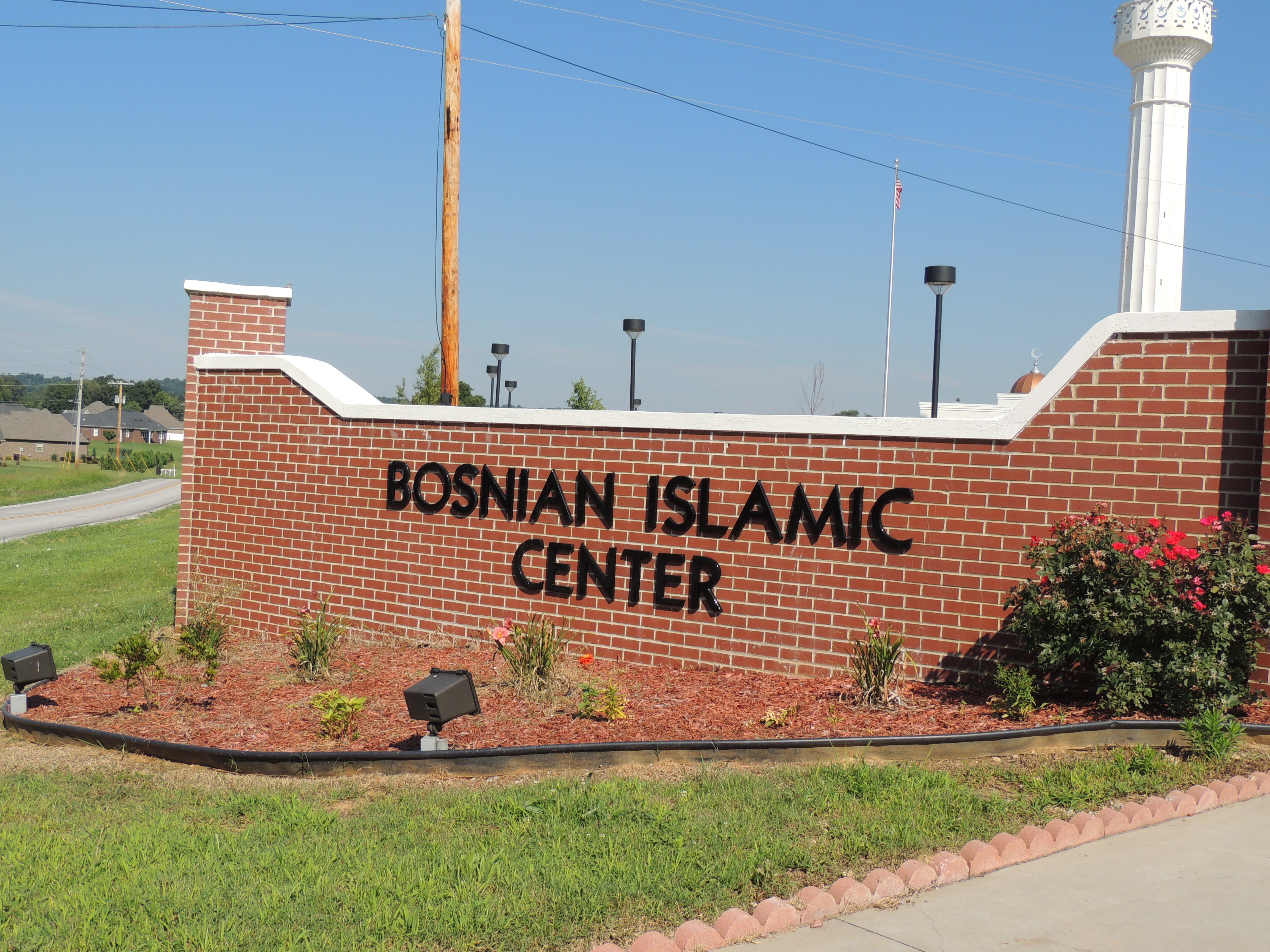
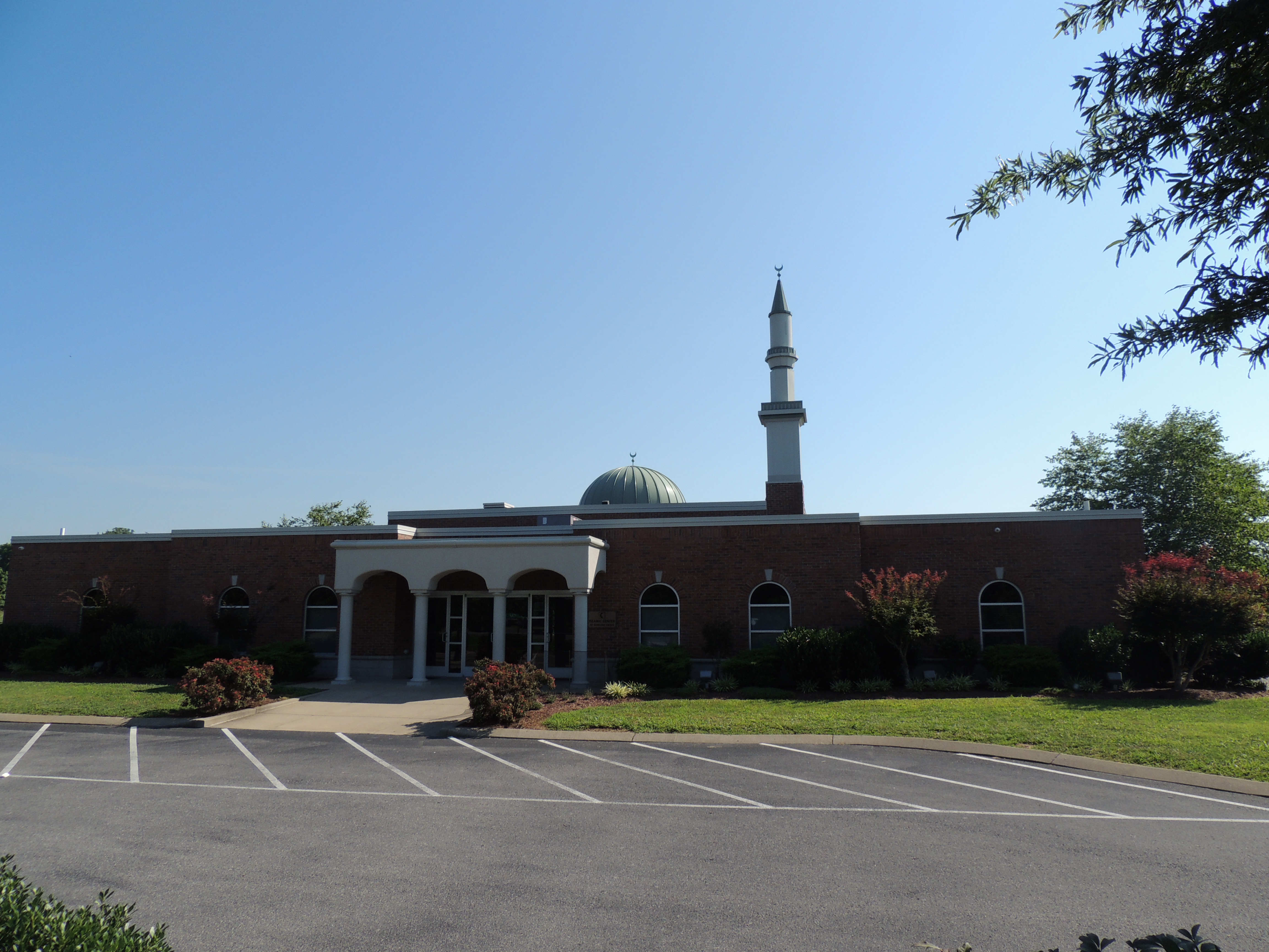
Bosnian Islamic Center (Bowling Green, KY)
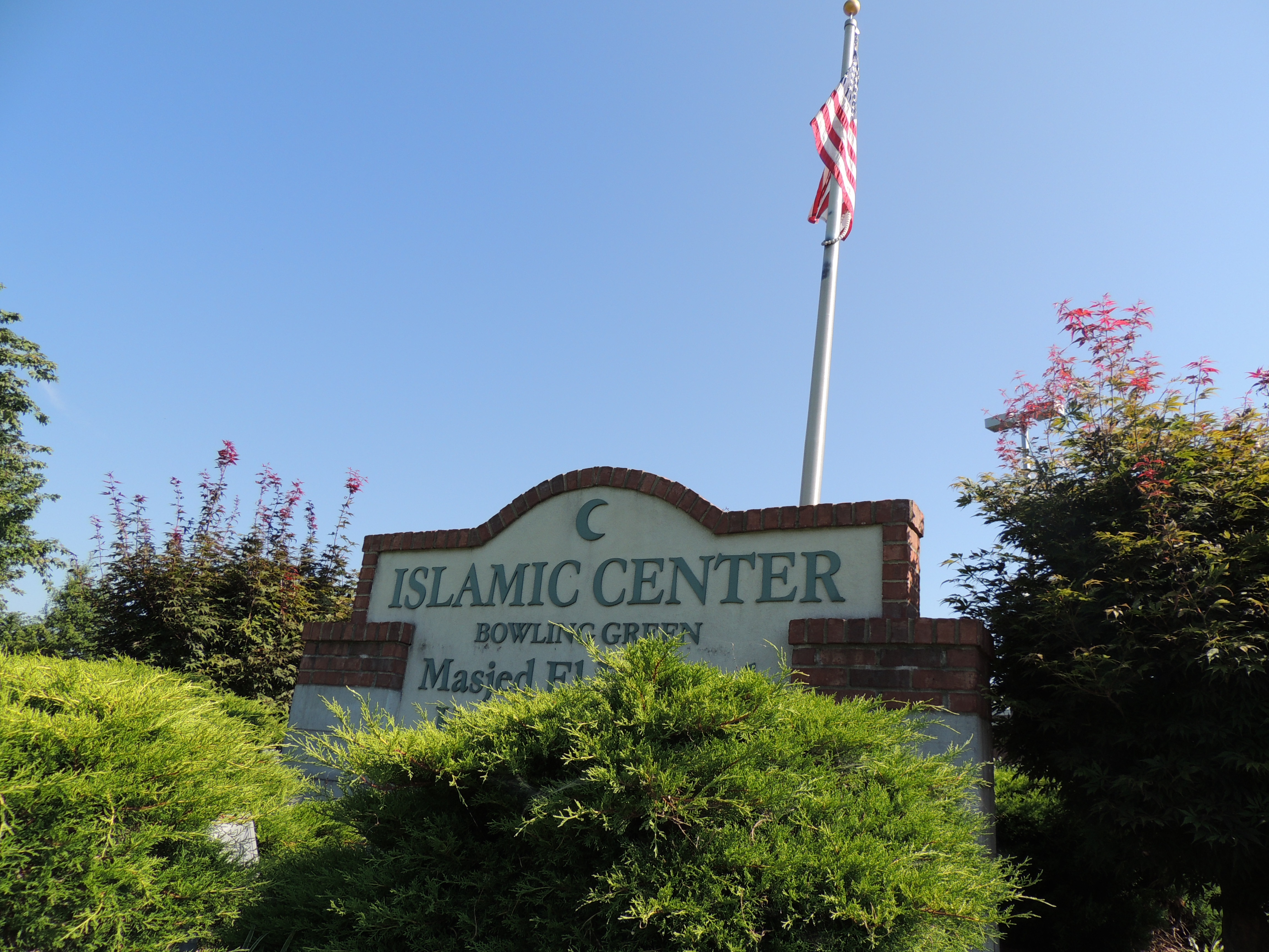
Islamic Center of Bowling Green
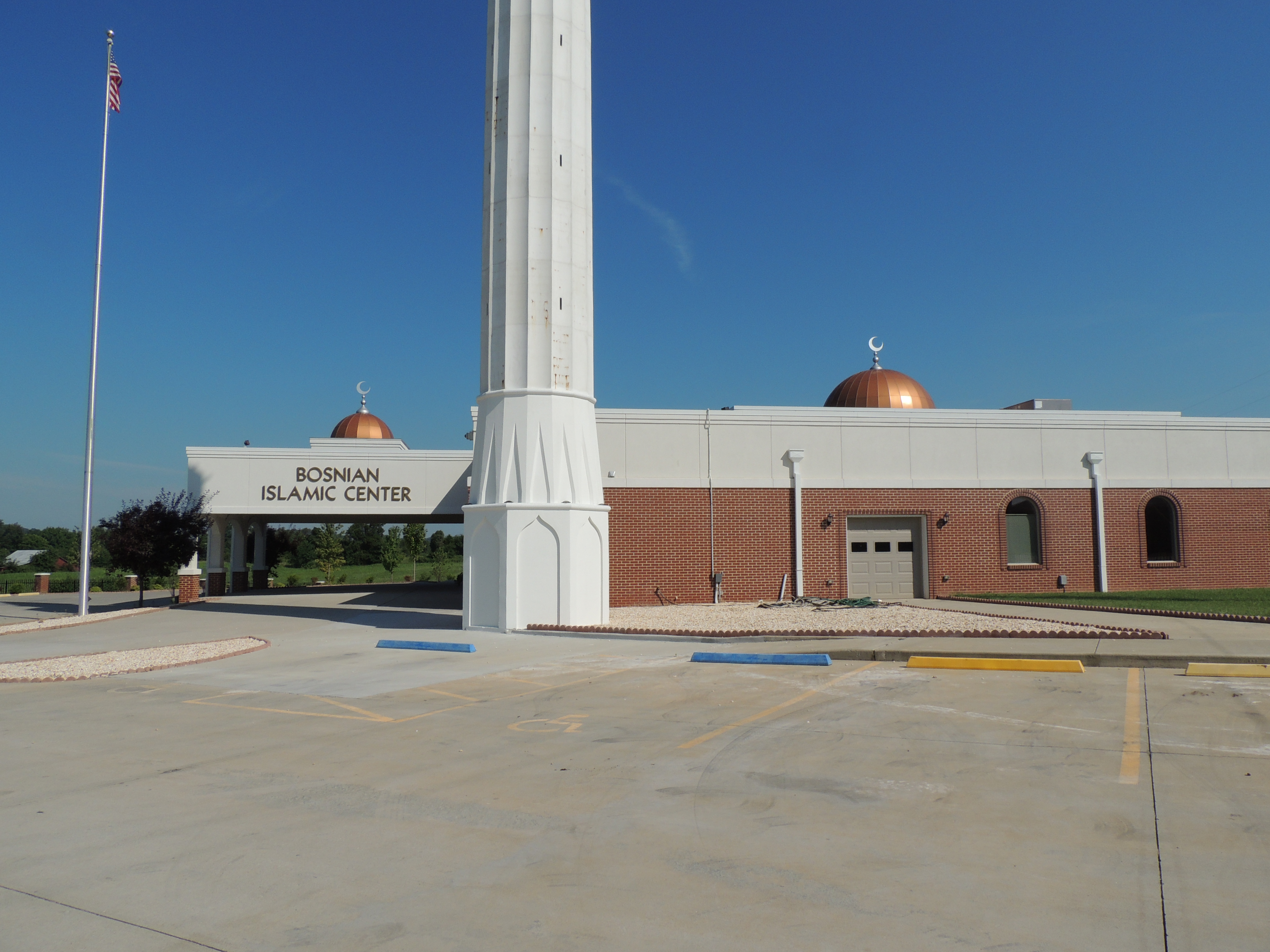
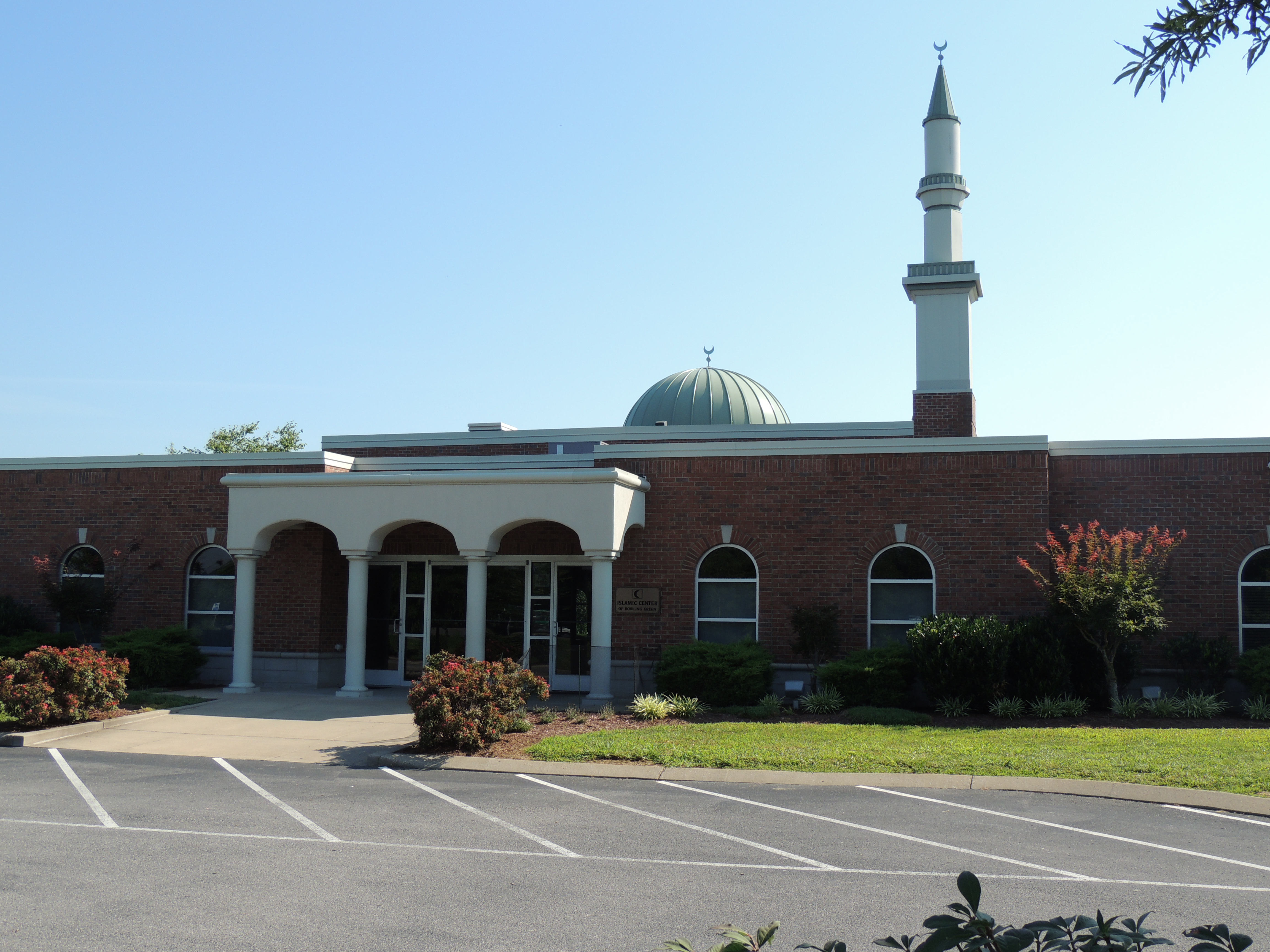
Bosnian Islamic Center (Bowling Green, KY)

Bosnian Islamic Center (Bowling Green, KY)
Islamic Center of Bowling Green
Islamic Center of Bowling Green
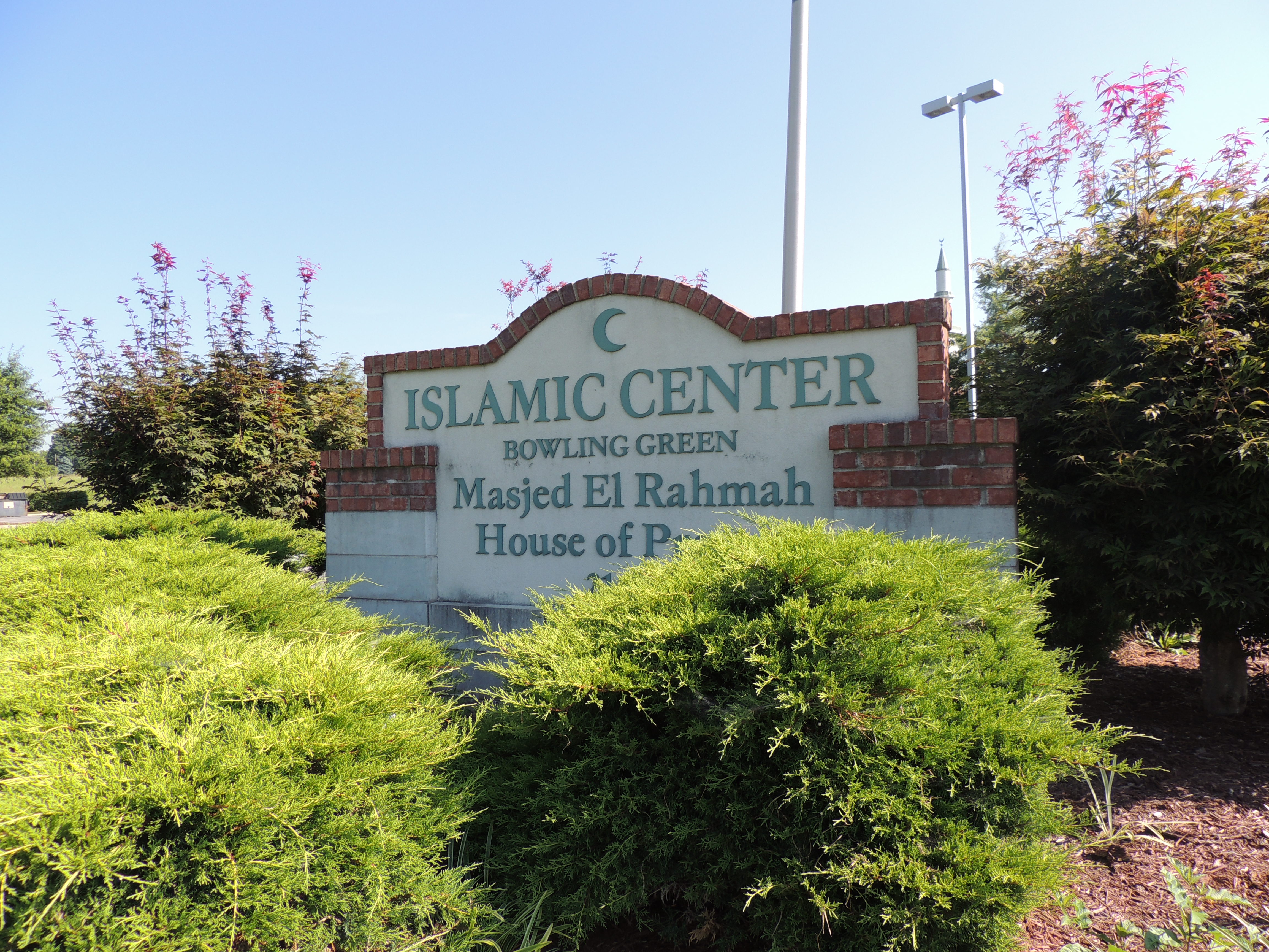
Islamic Center of Bowling Green
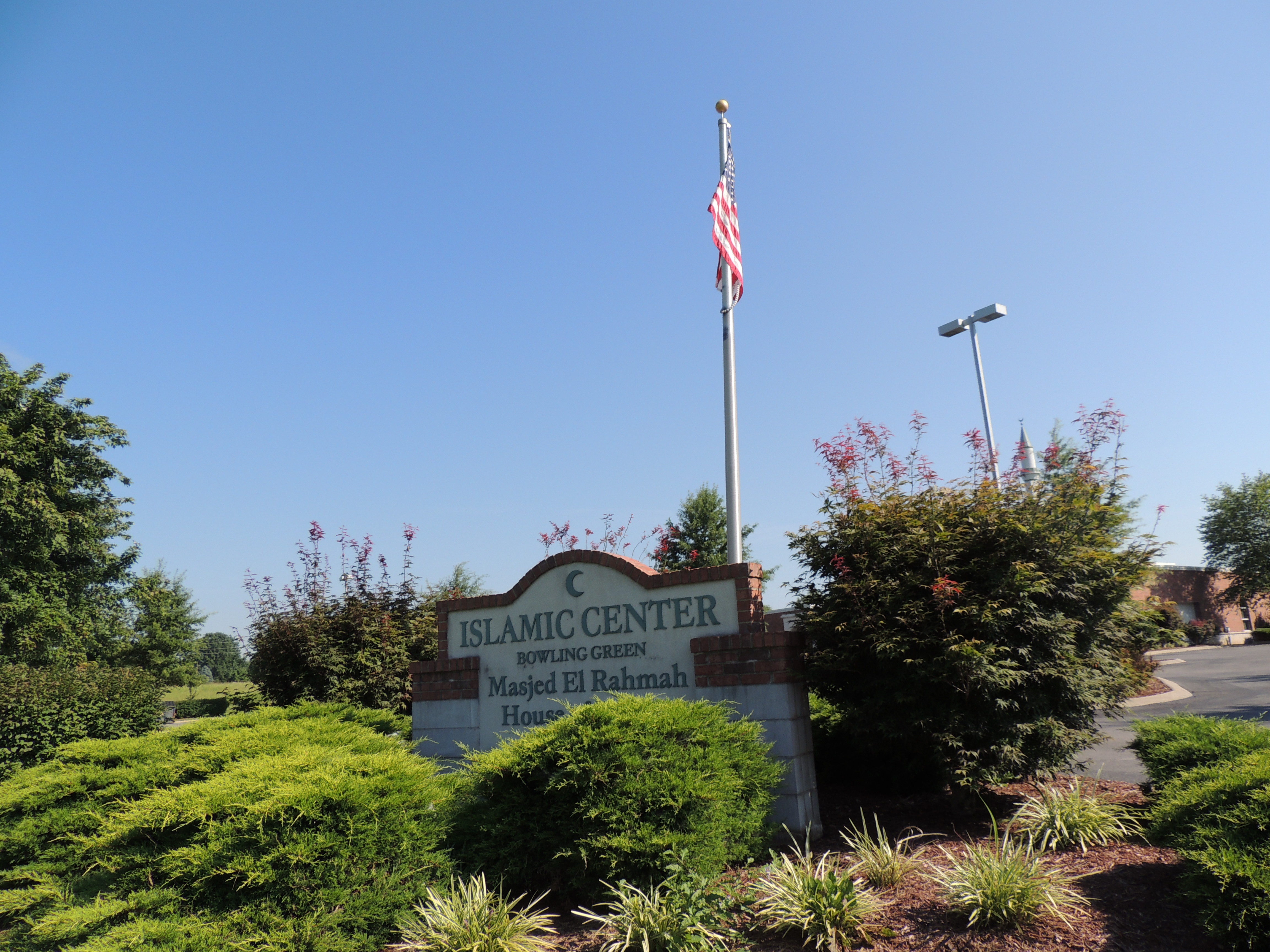
Islamic Center of Bowling Green

The boys are planting the Japanese Maple Ryan and I delivered.
Waterfall in small creek

green acres

Clifty Hollow Rd

Rolled Hay on US 68 near Auburn, KY #photoart #artsy #travel #farmland #kytourism
Topographic Map of Hullett Ln, Rockfield, KY, USA
Find elevation by address:

Places near Hullett Ln, Rockfield, KY, USA:
2700 Galloways Mill Rd
Russellville Rd, Rockfield, KY, USA
White Stone Quarry Rd, Bowling Green, KY, USA
S Union Rd, Woodburn, KY, USA
White Stone Quarry
Rockfield
726 Murphy Rd
Pearl St, Auburn, KY, USA
Auburn
348 Brighton Ave
N Clark Landing Rd, Bowling Green, KY, USA
Warren County
2660 Russellville Rd
Bowling Green
2785 T Mc Reynolds Rd
Nashville Rd, Bowling Green, KY, USA
Brentmoor Ave, Bowling Green, KY, USA
1909 Creason St
Echo Valley Rd, Auburn, KY, USA
Western Kentucky University
Recent Searches:
- Elevation of W Granada St, Tampa, FL, USA
- Elevation of Pykes Down, Ivybridge PL21 0BY, UK
- Elevation of Jalan Senandin, Lutong, Miri, Sarawak, Malaysia
- Elevation of Bilohirs'k
- Elevation of 30 Oak Lawn Dr, Barkhamsted, CT, USA
- Elevation of Luther Road, Luther Rd, Auburn, CA, USA
- Elevation of Unnamed Road, Respublika Severnaya Osetiya — Alaniya, Russia
- Elevation of Verkhny Fiagdon, North Ossetia–Alania Republic, Russia
- Elevation of F. Viola Hiway, San Rafael, Bulacan, Philippines
- Elevation of Herbage Dr, Gulfport, MS, USA