Elevation of Hull Rd, Empire, AL, USA
Location: United States > Alabama > Walker County > Empire >
Longitude: -87.053550
Latitude: 33.8024015
Elevation: 131m / 430feet
Barometric Pressure: 100KPa
Elevation Map:
Satellite Map:
Related Photos:

Grandma
IMG_1058_edited-1
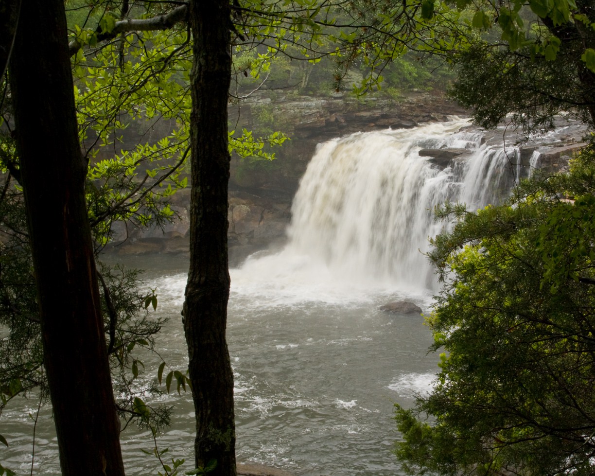
Knob Mine Bucyrus Erie 1570 Walking Dragline

Knob Mine Bucyrus 1260 Dragline

NS Train 21R

Ethan Graduation 2012

Bible belt

NS Train 173

#TractorSupplyCo next pin up girl #payupsuckers #smokinhotwife

Male Northern Cardinal

Ruby-crowned Kingle

Cedar Waxwings

Hermit Thrush

Carolina Chickadee

Eastern Bluebird

first night out since surgery! #celebrate #corkandpork #julesbertavineyard #wine #lifeisgood #myview #mylifeinphotos #roadtrip #fun

Water Jewel Aladdin doll

Work work work, whatcha workin wit!!!!!!

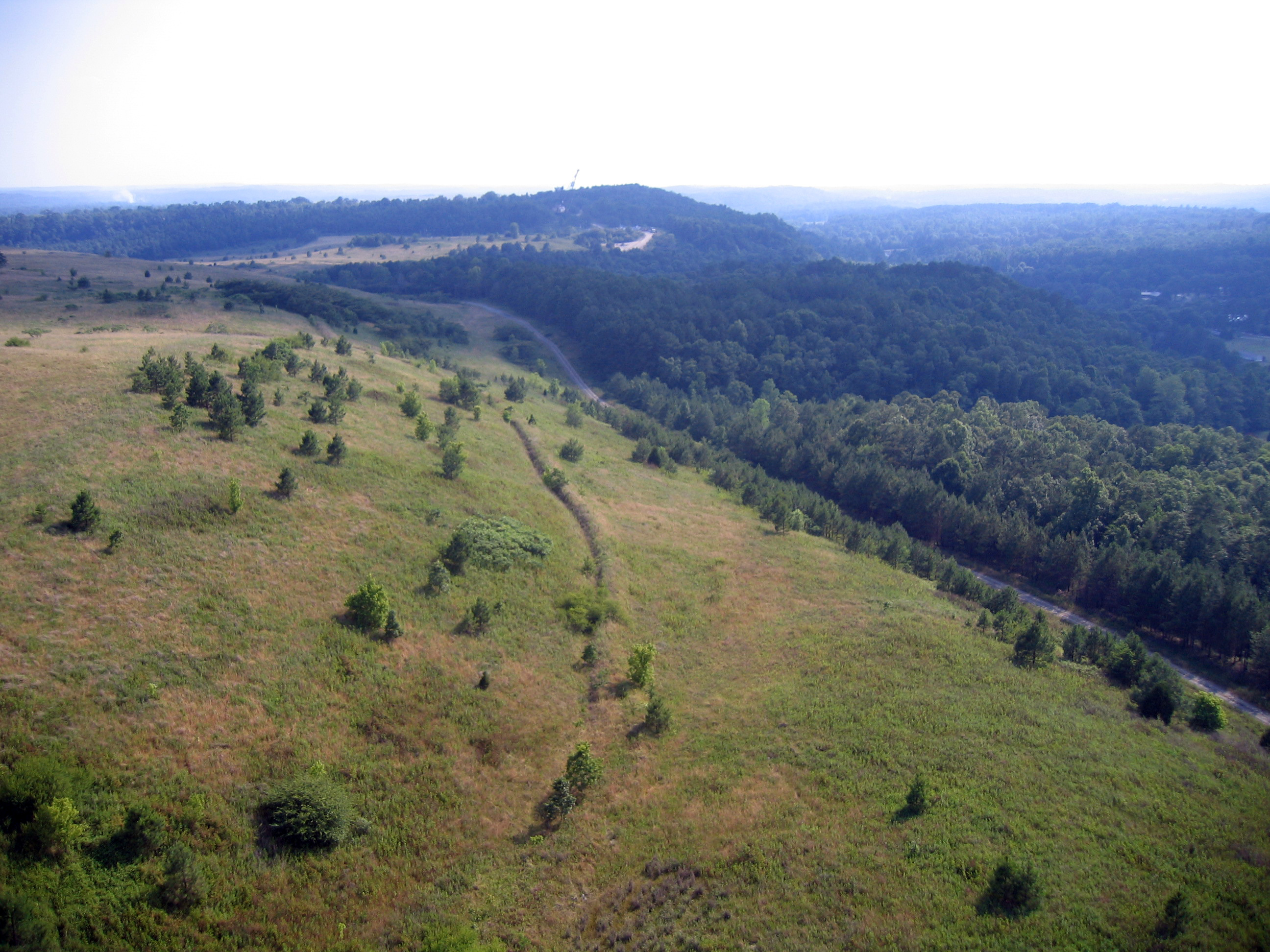
Driving home in Alabama

Winters variations of grey

Day 28-29 010

Day 28-29 011

Day 28-29 012
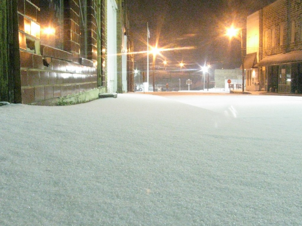
Downtown Cordova Alabama January 2011 Snow

My baby
Topographic Map of Hull Rd, Empire, AL, USA
Find elevation by address:

Places near Hull Rd, Empire, AL, USA:
380 Harding Rd
1st Ave, Sumiton, AL, USA
95 Cottontail Rd
Rice Hill Road
36 Stella Lockard Rd, Cordova, AL, USA
Sipsey Rd, Sipsey, AL, USA
Sipsey
Empire
Sumiton
671 Debardeleben Rd
Hwy 78, Dora, AL, USA
8664 County Line Rd
Daniel Trl, Dora, AL, USA
York Mountain Road
Sardis Cemetery Rd, Cordova, AL, USA
4201 Co Rd 18
9632 Bankston Rd
9632 Bankston Rd
Bagley Rd, Warrior, AL, USA
Misty Dr, Empire, AL, USA
Recent Searches:
- Elevation of 1 Zion Park Blvd, Springdale, UT, USA
- Elevation of Ganderbal
- Elevation map of Konkan Division, Maharashtra, India
- Elevation of Netaji Nagar, Hallow Pul, Kurla, Mumbai, Maharashtra, India
- Elevation of Uralsk, Kazakhstan
- Elevation of 45- Kahana Dr, Honokaa, HI, USA
- Elevation of New Mexico 30, NM-30, Española, NM, USA
- Elevation of Santmyer Way, Charles Town, WV, USA
- Elevation of Riserva Naturale Lago di Montepulciano, Italy
- Elevation of Marjorie Lane, Marjorie Ln, Whitefield, NH, USA