Elevation of Hugo, OR, USA
Location: United States > Oregon > Josephine County >
Longitude: -123.40256
Latitude: 42.5845614
Elevation: 401m / 1316feet
Barometric Pressure: 97KPa
Elevation Map:
Satellite Map:
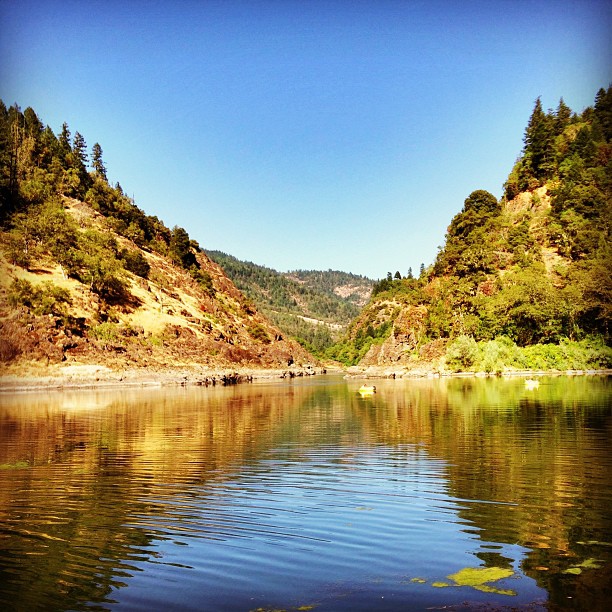
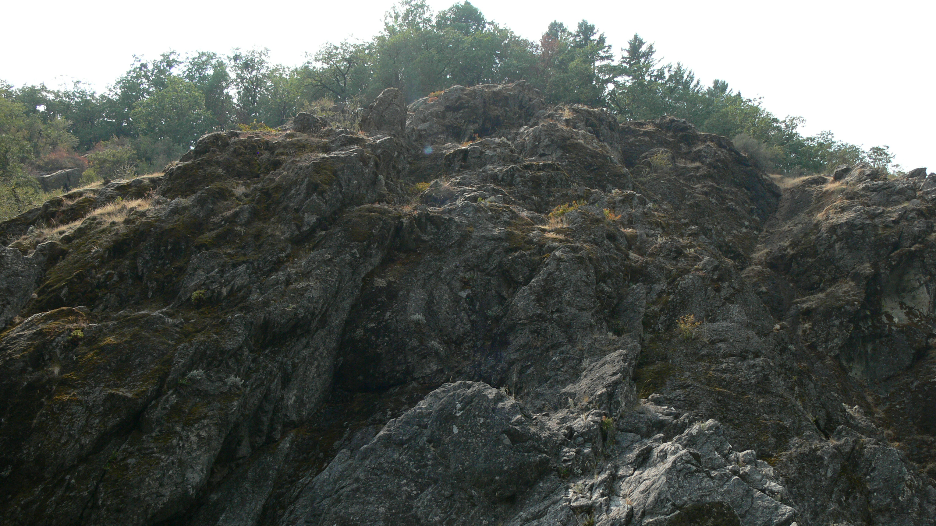
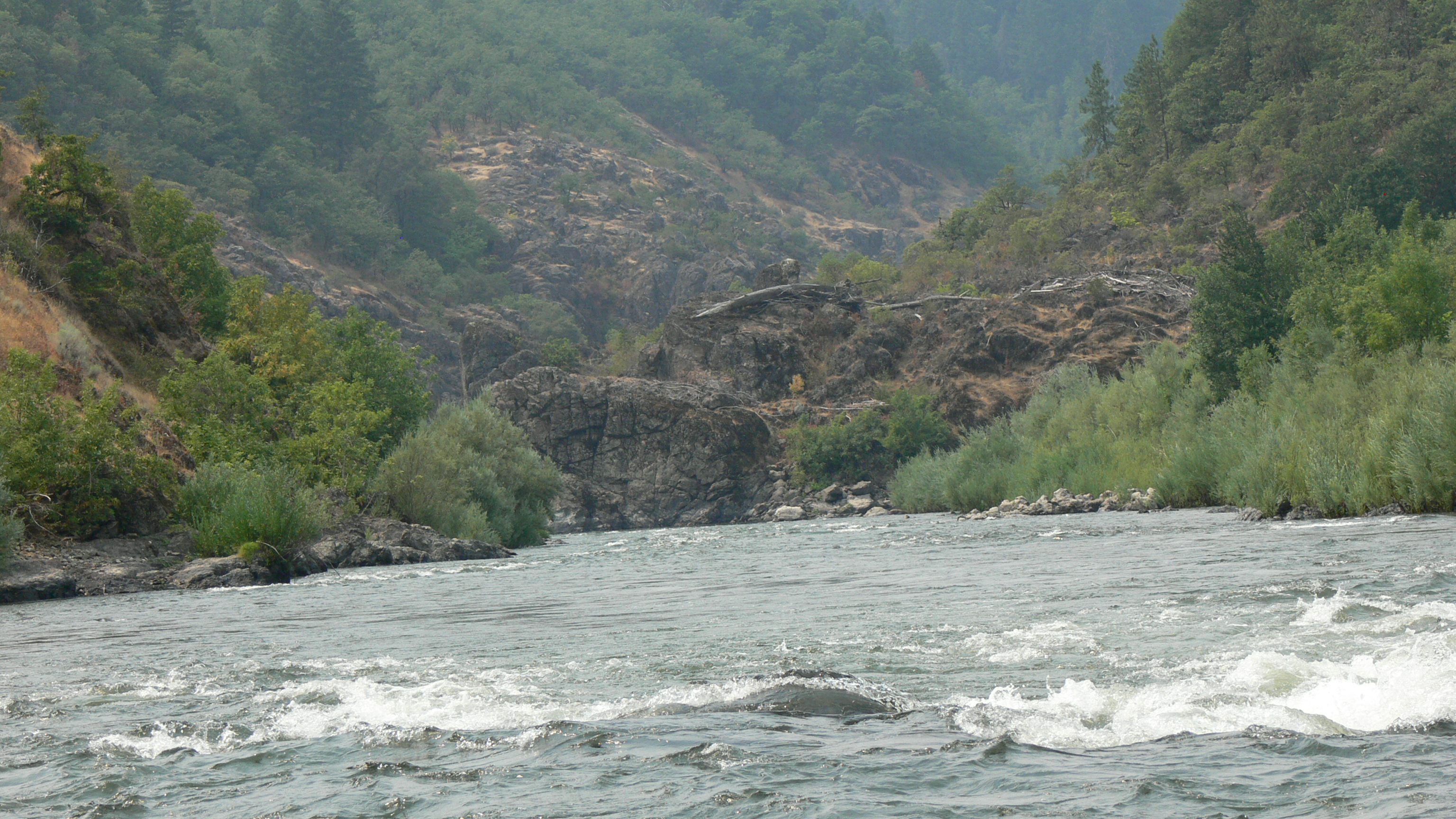
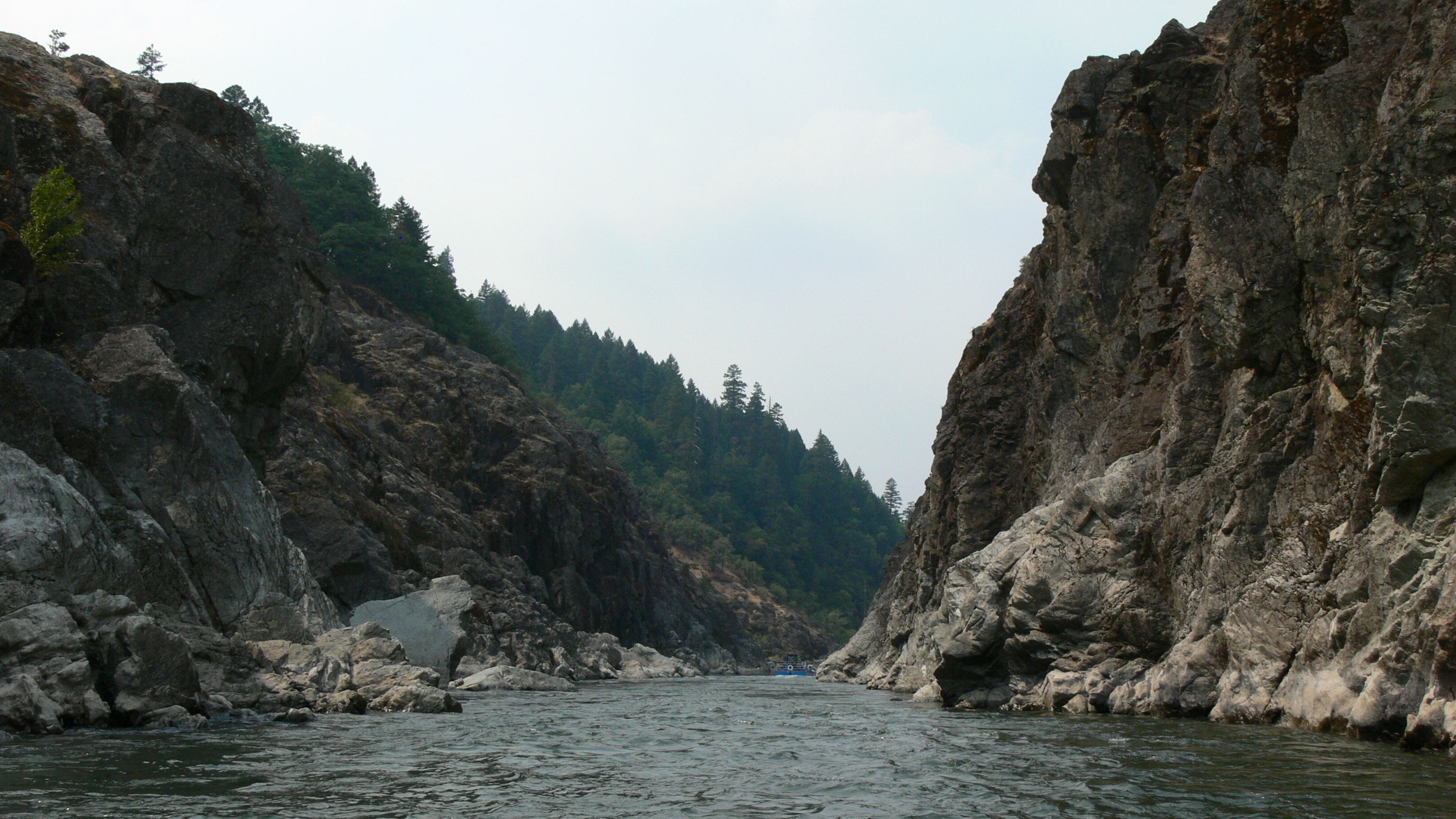
Related Photos:

Darryl (Stranger 5/100)

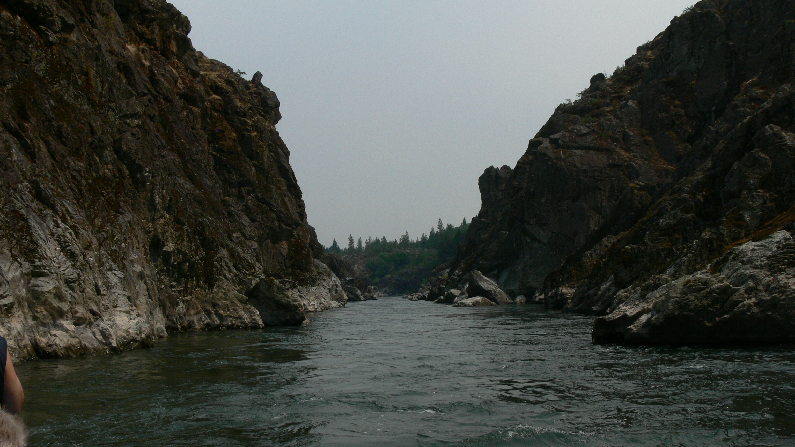
Hellgate: a backdrop for John Wayne, Kathryn Hepburn and Meryl Streep
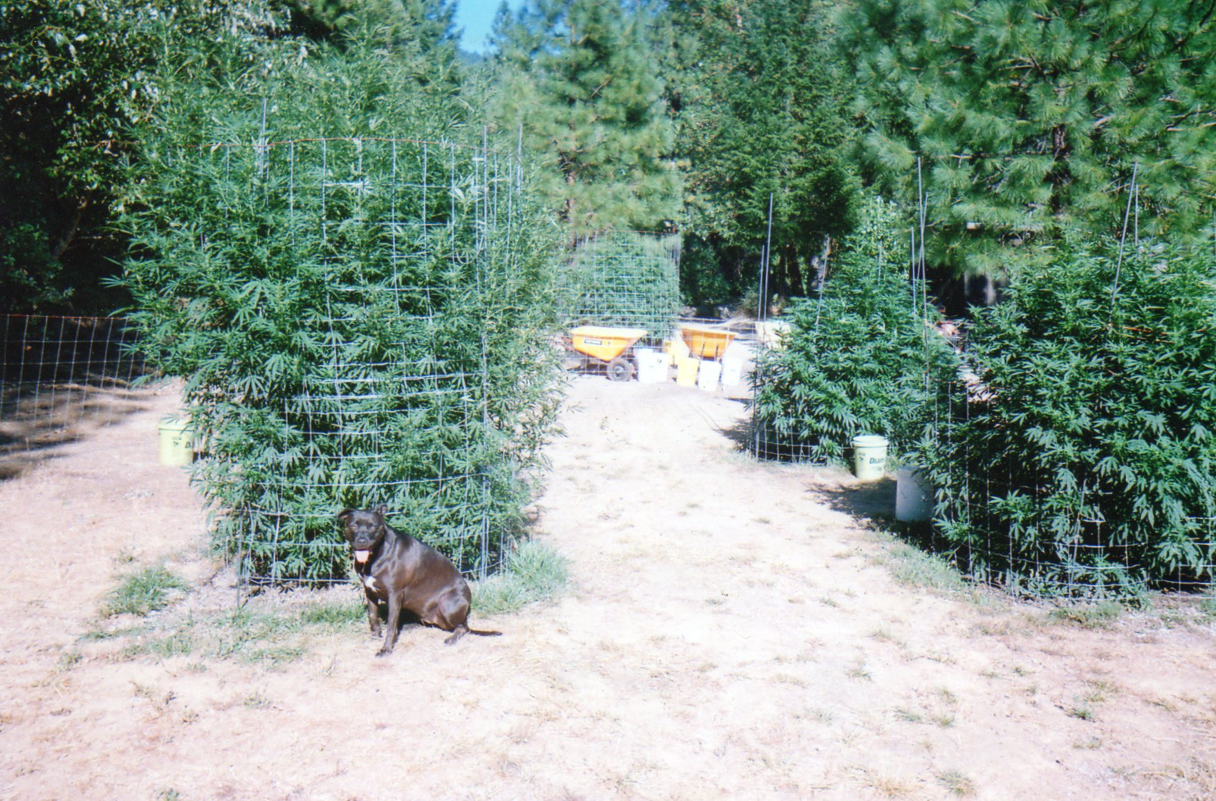
Oregon Medical Marijuana Outdoor Grow

Over the Edge
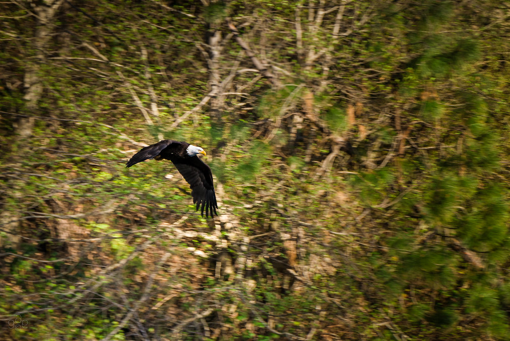
Eagle eyes over the Rogue
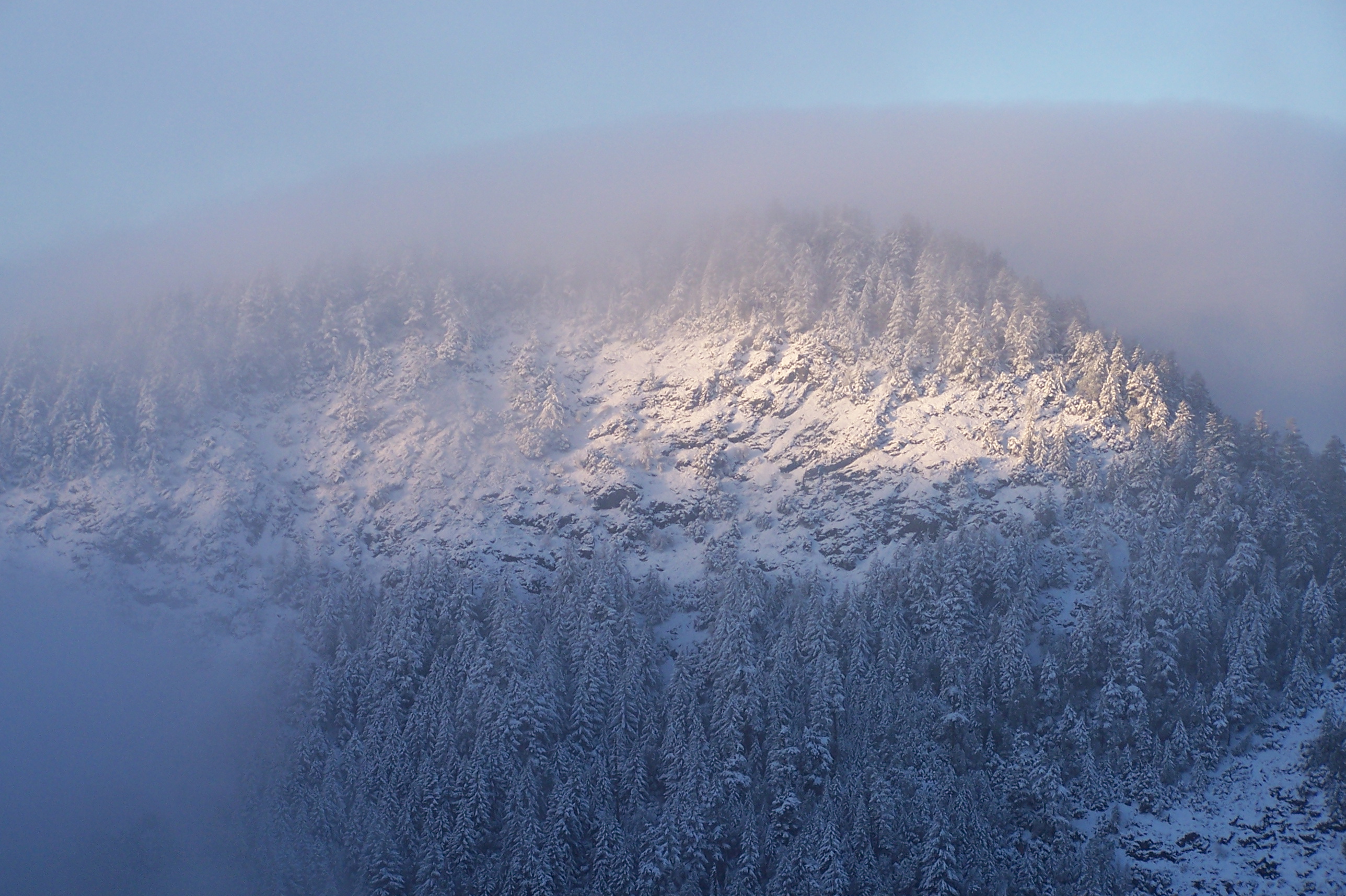
A winters view from Londons Peak

CA Trip Day 12: Covered Bridge, Morning Fog
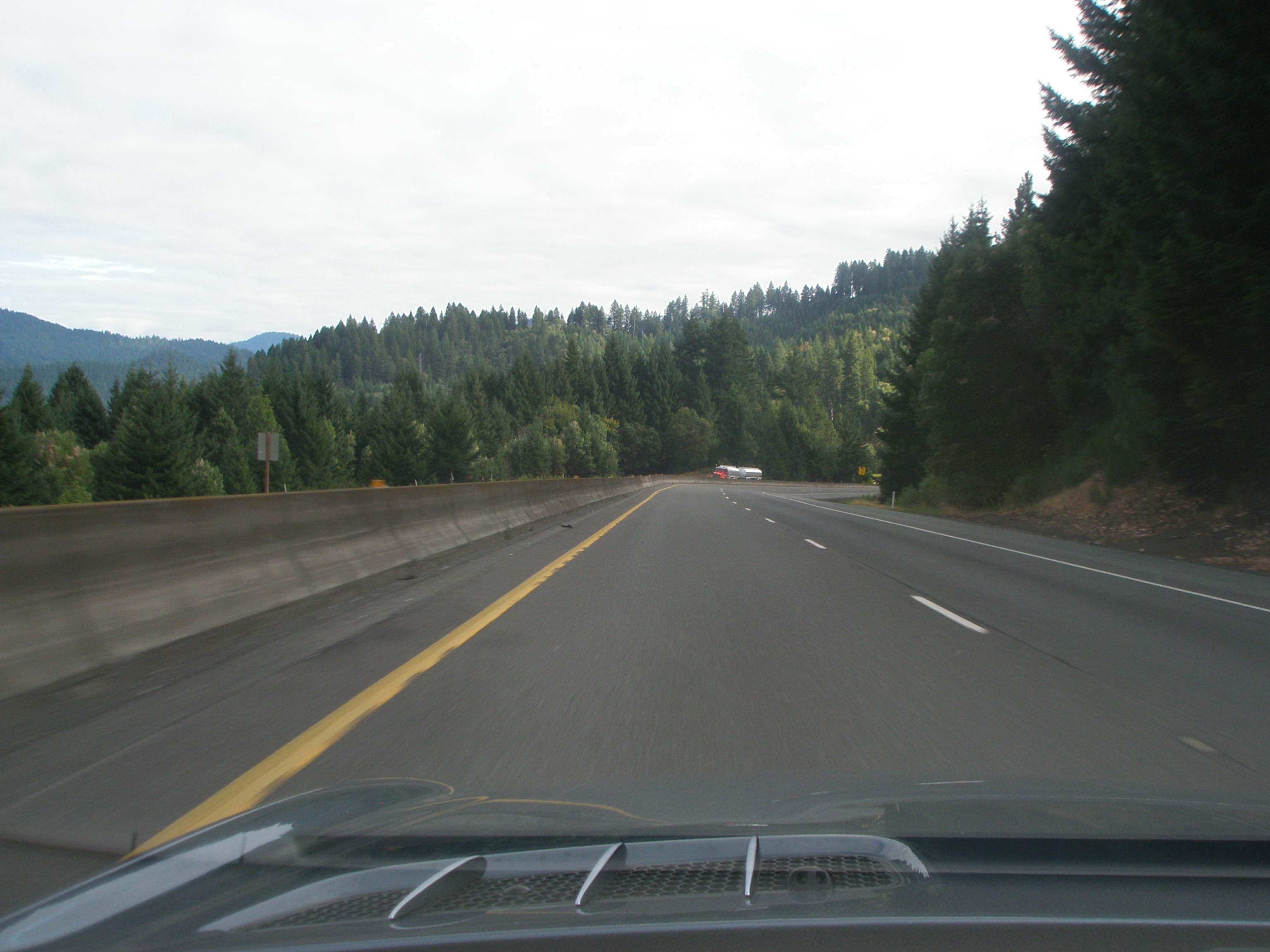
Through the trees

CA Trip Day 12: Farm. Morning

My Town

We are five
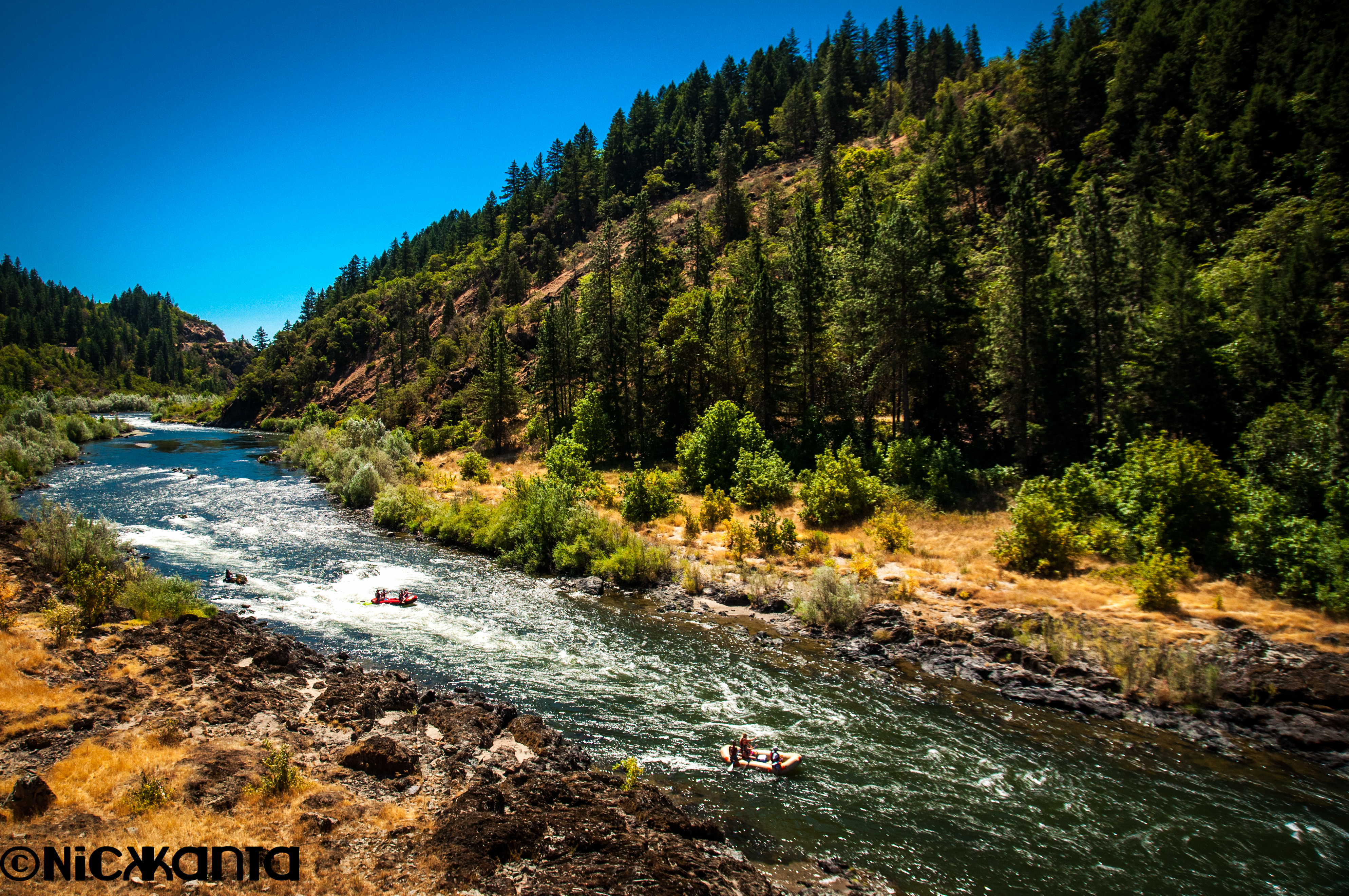
Rogue River Rafters
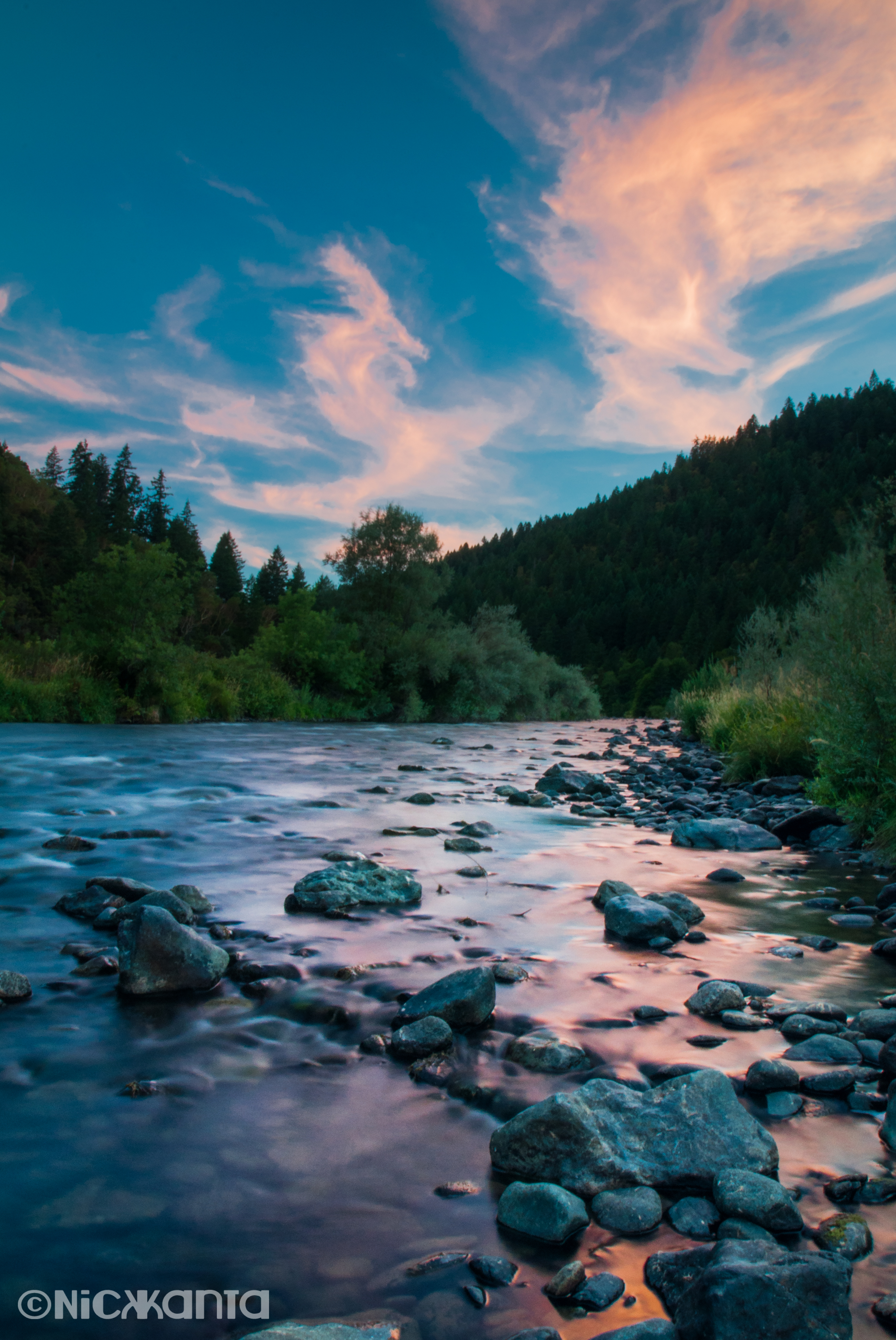
Rogue River Sunset
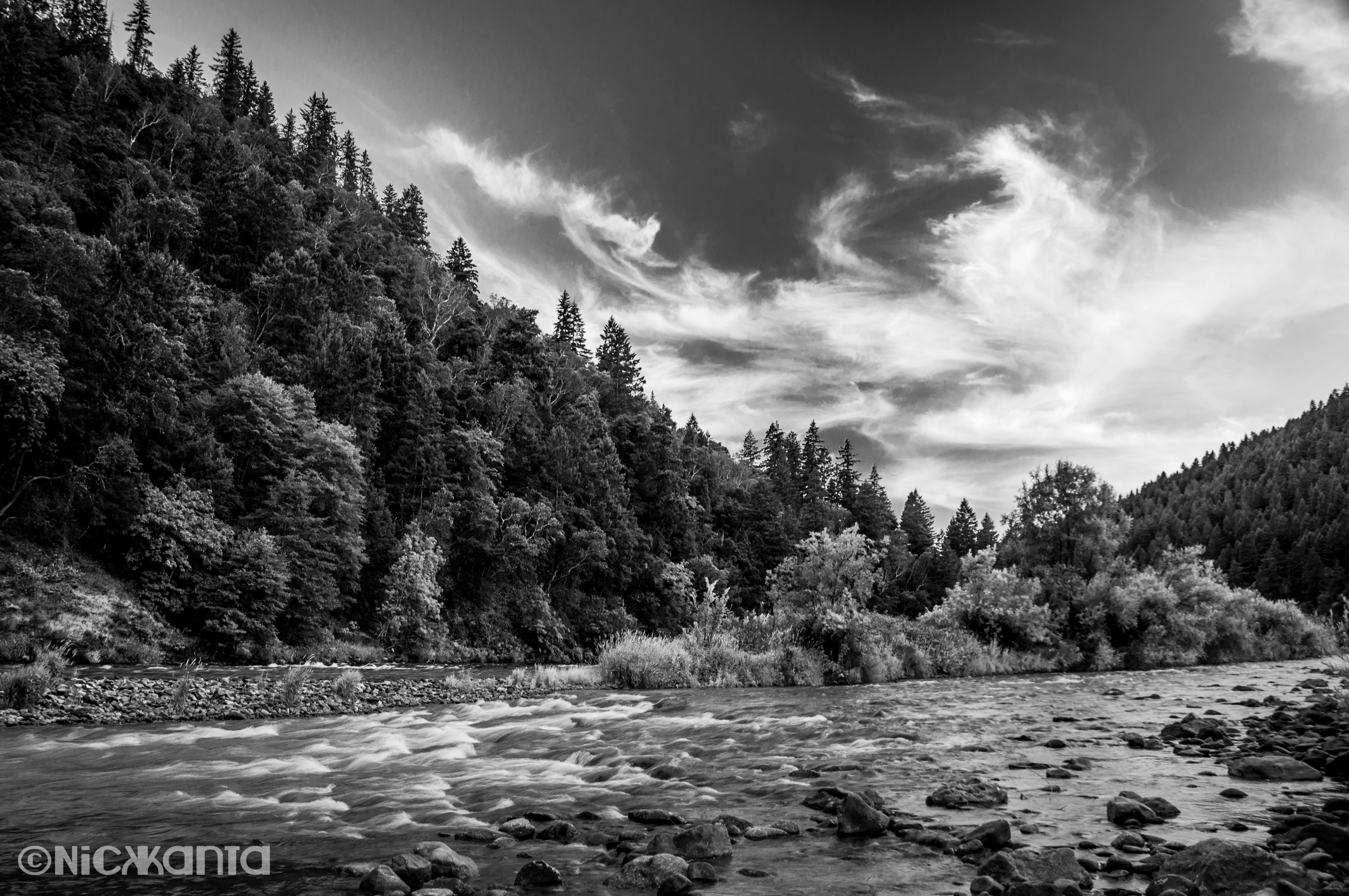
The Mighty Rogue

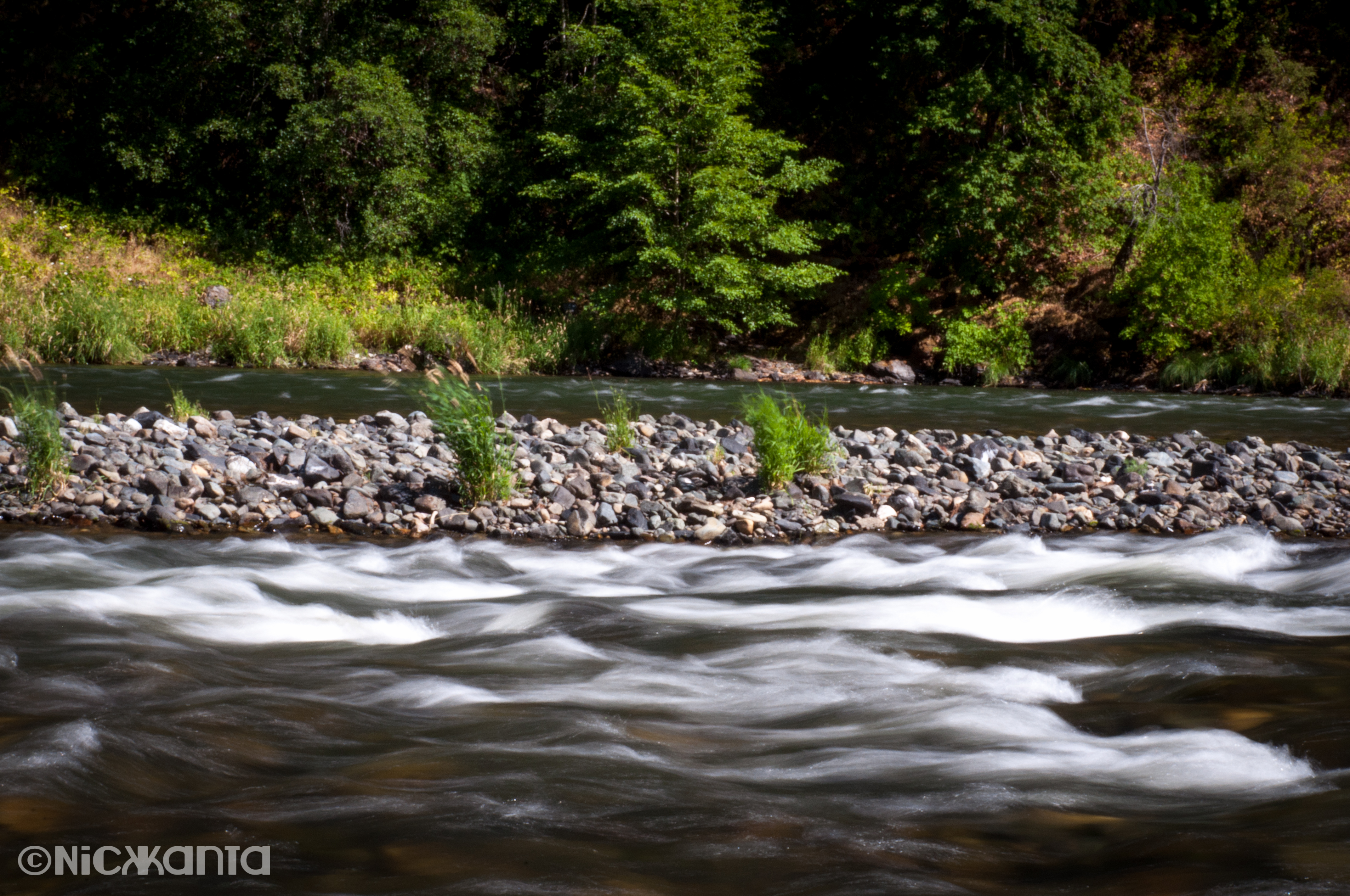
Layered Elements
Marks Island

Lotus Hairstreak (Callophrys dumetorum)

@mamajill13 SUP-ing on the #rogueriver
Plant in Sunny Valley, OR

Rogue River Valley -16a
h70 070 (2) Water Under The Bridge (Grave Creek)
pinto pony
'merica
Rogue River from Morrison's Rogue River Lodge. #rogueriver #southernoregon #oregon

Winded Dandelion

P1130379.JPG
P1130380.JPG
P1130365.JPG
P1130372.JPG
P1130373.JPG
Topographic Map of Hugo, OR, USA
Find elevation by address:

Places near Hugo, OR, USA:
7029 Tunnel Loop Rd
405 Hitching Post Rd
Three Pines
330 Tunnel Creek Rd
558 Boyer Rd
Joe Creek Waterfalls R.v. Resort
575 Williamson Loop
8175 Monument Dr
1480 Russell Rd
240 Leaning Pine Ln
Sunny Valley
676 Becklin Dr
1100 Placer Rd
500 Pleasant Valley Rd
872 Barker Dr
Merlin
168 Gary Ln
Grayback Forestry Inc
1390 Crow Rd
Crow Road
Recent Searches:
- Elevation of Tenjo, Cundinamarca, Colombia
- Elevation of Côte-des-Neiges, Montreal, QC H4A 3J6, Canada
- Elevation of Bobcat Dr, Helena, MT, USA
- Elevation of Zu den Ihlowbergen, Althüttendorf, Germany
- Elevation of Badaber, Peshawar, Khyber Pakhtunkhwa, Pakistan
- Elevation of SE Heron Loop, Lincoln City, OR, USA
- Elevation of Slanický ostrov, 01 Námestovo, Slovakia
- Elevation of Spaceport America, Co Rd A, Truth or Consequences, NM, USA
- Elevation of Warwick, RI, USA
- Elevation of Fern Rd, Whitmore, CA, USA