Elevation of Hugh Story Rd, Limestone, TN, USA
Location: United States > Tennessee > Washington County > Limestone >
Longitude: -82.638088
Latitude: 36.22266
Elevation: -10000m / -32808feet
Barometric Pressure: 295KPa
Elevation Map:
Satellite Map:
Related Photos:

Feild View

Foggy View.

Ebenezer Methodist Church

Earnest Fort House

The View Blows

View of Earnest Farms Area 05
Down in the Valley

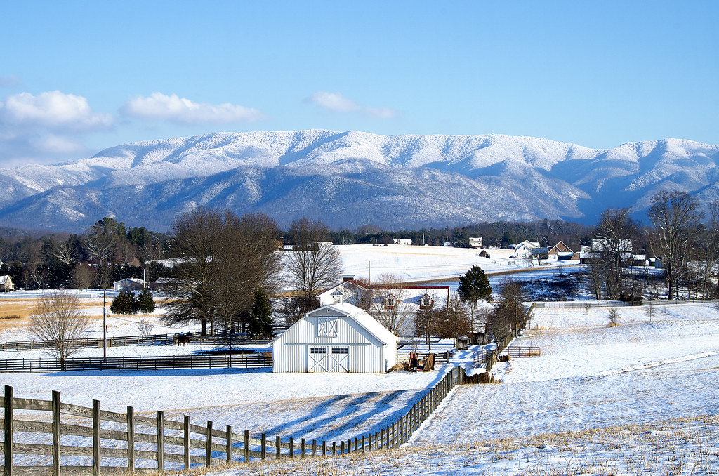
Tennessee Landscape

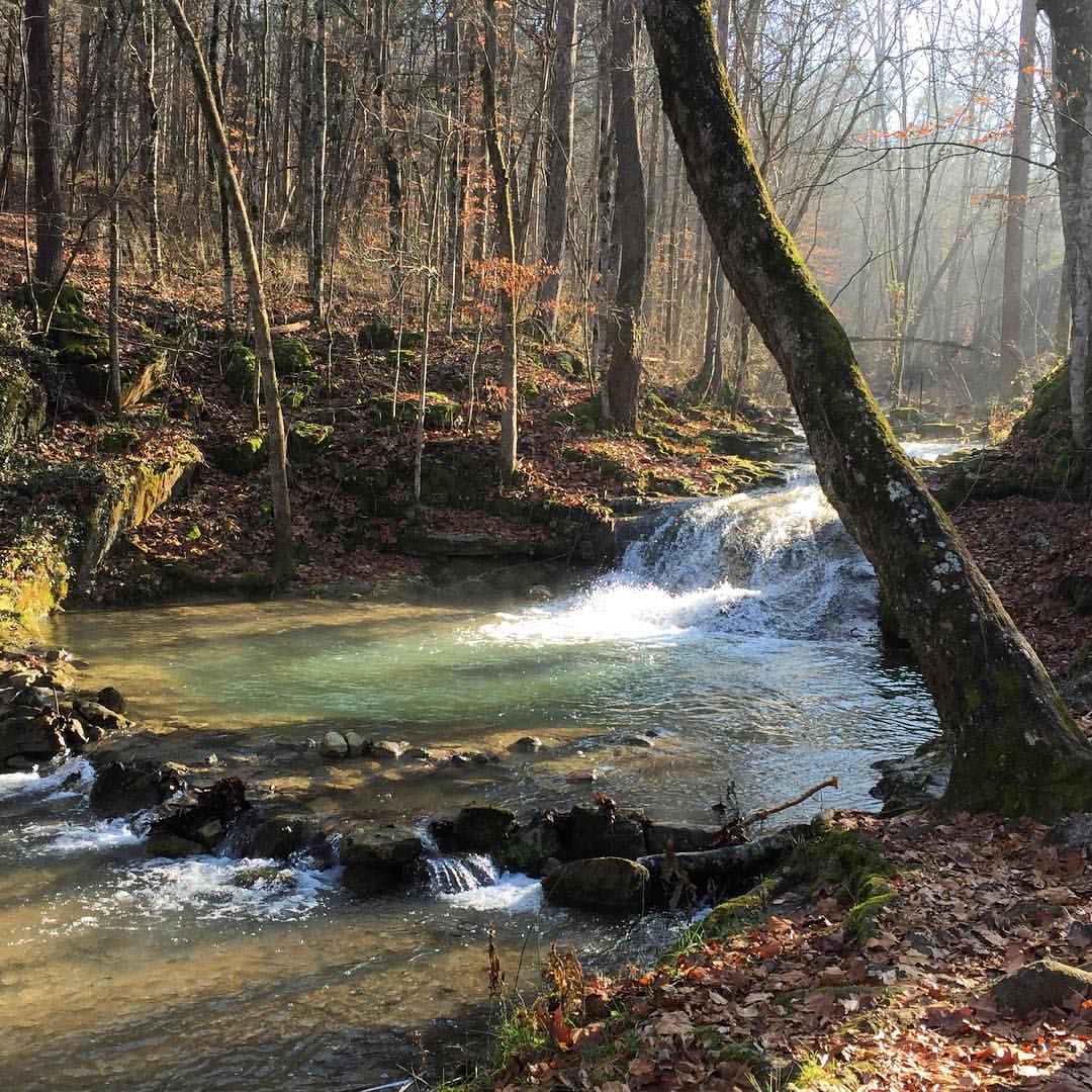
Clark's Creek

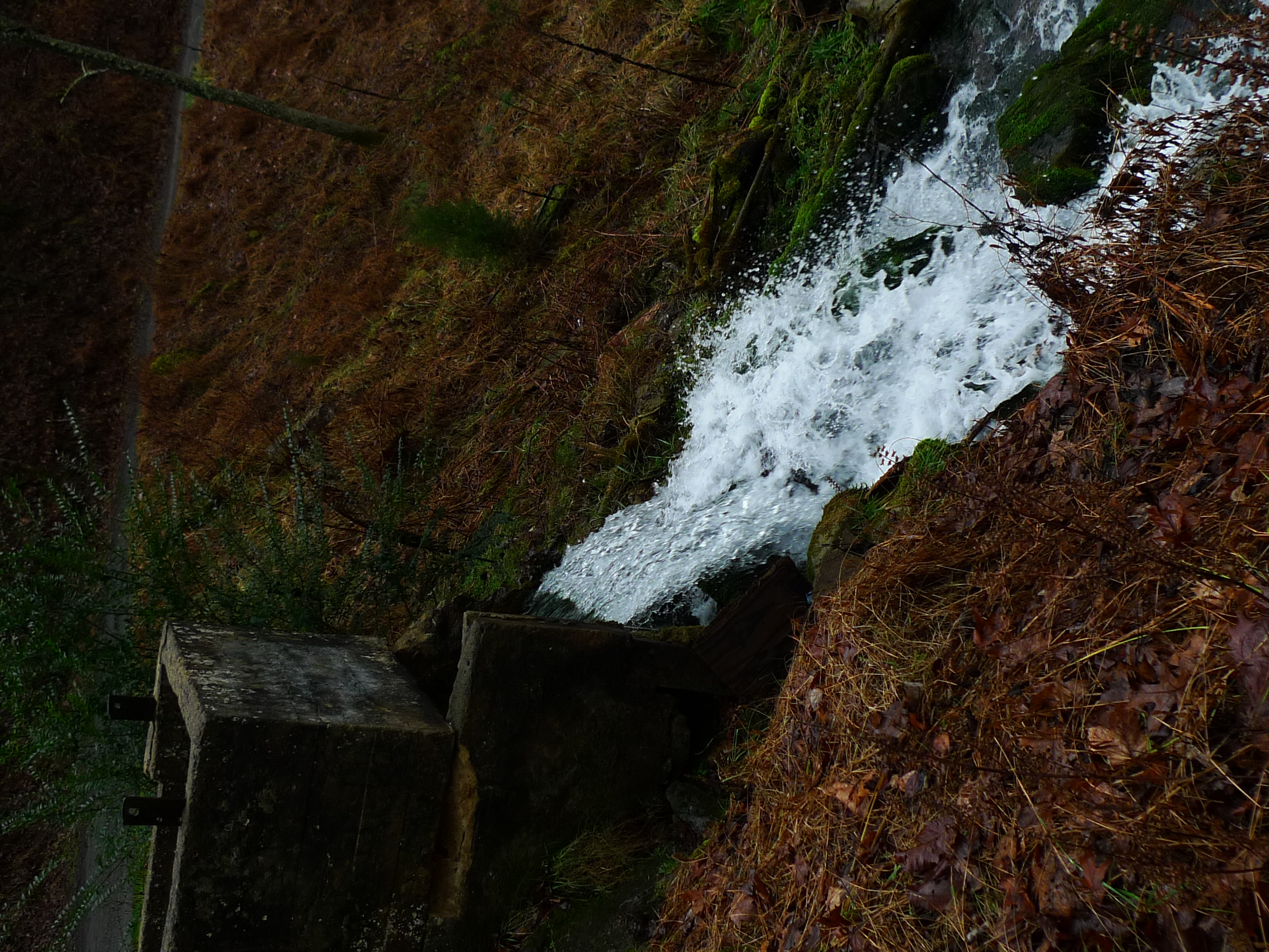
Sill Branch Falls

WP_20141123_063.JPG

WP_20151120_002 (2)

Nolichucky River
Roaring Springs
#oldmill

Sampson Mountain Wilderness - Horse Cove - Turkeypen Cove

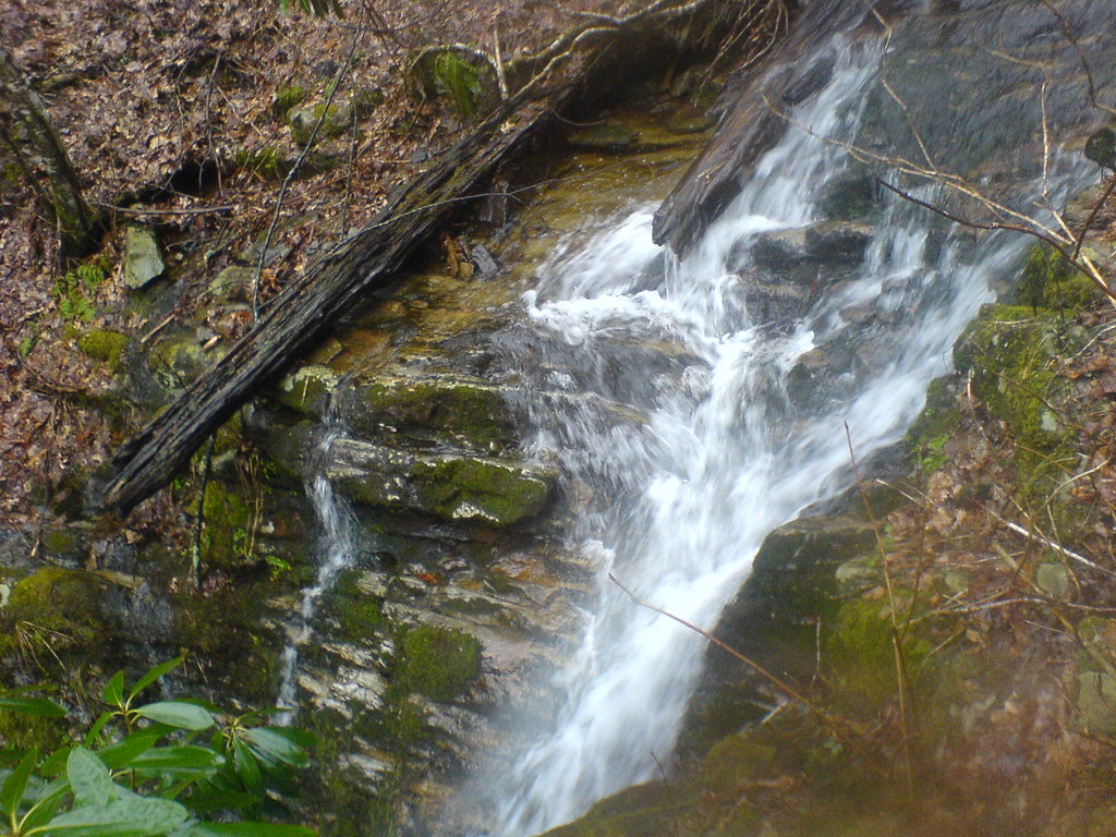
Small Cascade along Sill Branch

#sunsets #sunset

Sill Branch Falls

#kudzu #south this stuff can cover everything
Squibb Falls

Petes Branch Falls

Old Forge - Jennings Creek

Small Fall on Long Arm Branch

Petes Branch Falls

Spring Sunrise
Topographic Map of Hugh Story Rd, Limestone, TN, USA
Find elevation by address:

Places near Hugh Story Rd, Limestone, TN, USA:
287 Hugh Story Rd
Limestone
155 Anderson St
251 Anderson St
296 Anderson St
Limestone, TN, USA
4057 Us-11e
107 Lambs Park
3453 Chuckey Hwy
Chuckey
85 Dykes Hill Rd
330 Rheatown Rd
485 Carson Creek Rd
1480 Martin Rd
195 Saylor Hill Rd
1885 Martin Rd
165 Wagon Wheel Trail
125 Keys Rd
2147 Milburnton Rd
255 Ralph Rhea Ln
Recent Searches:
- Elevation of Fernwood, Bradenton, FL, USA
- Elevation of Felindre, Swansea SA5 7LU, UK
- Elevation of Leyte Industrial Development Estate, Isabel, Leyte, Philippines
- Elevation of W Granada St, Tampa, FL, USA
- Elevation of Pykes Down, Ivybridge PL21 0BY, UK
- Elevation of Jalan Senandin, Lutong, Miri, Sarawak, Malaysia
- Elevation of Bilohirs'k
- Elevation of 30 Oak Lawn Dr, Barkhamsted, CT, USA
- Elevation of Luther Road, Luther Rd, Auburn, CA, USA
- Elevation of Unnamed Road, Respublika Severnaya Osetiya — Alaniya, Russia