Elevation of Hufford Ranch Rd, Whitmore, CA, USA
Location: United States > California > Shasta County > Whitmore >
Longitude: -121.96554
Latitude: 40.5948866
Elevation: 538m / 1765feet
Barometric Pressure: 95KPa
Elevation Map:
Satellite Map:
Related Photos:

Roberts_12 Fountain
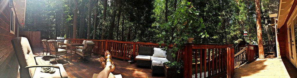
Panoramic view from Larissa's deck
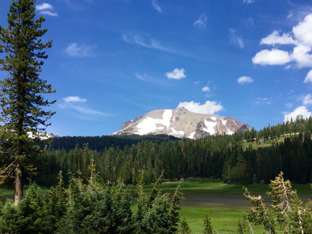
Roberts_80 Lassen Peak

Roberts_75 Summit Lake
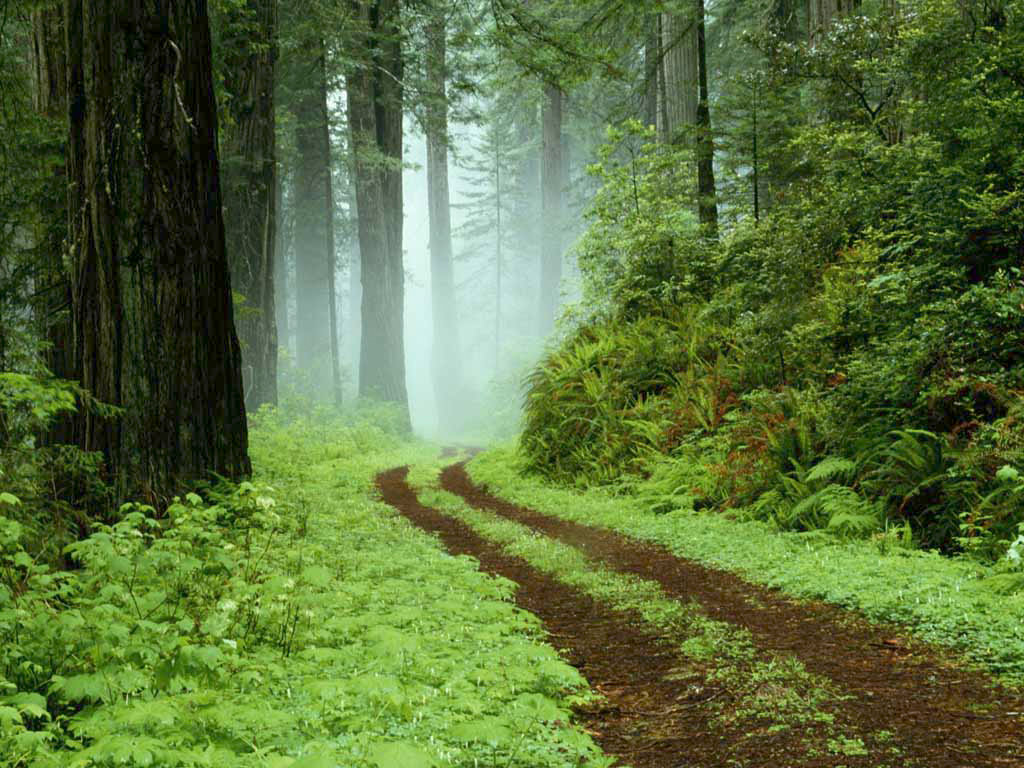
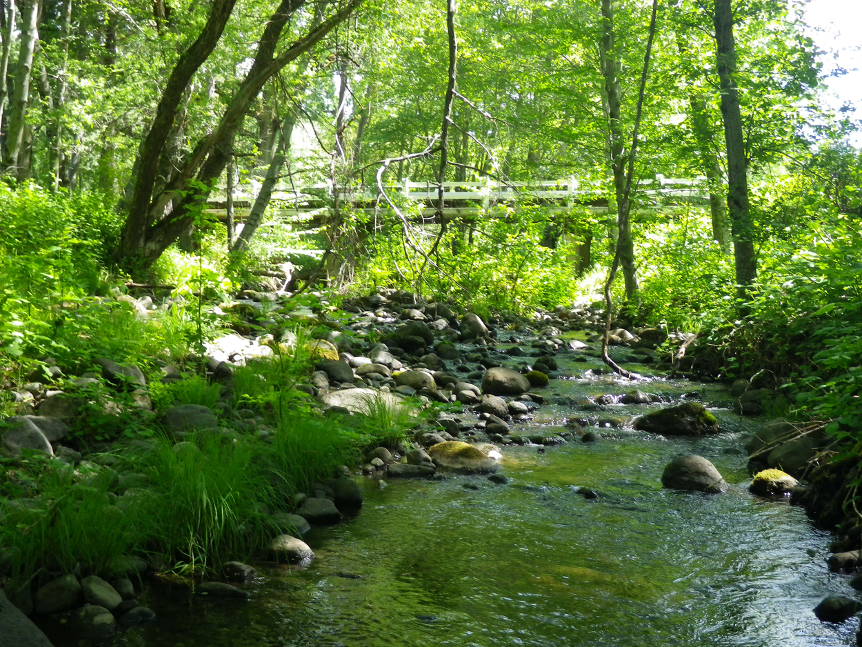
A forest path in Redwoods State Park, California.

A forest path in Redwoods State Park, California.

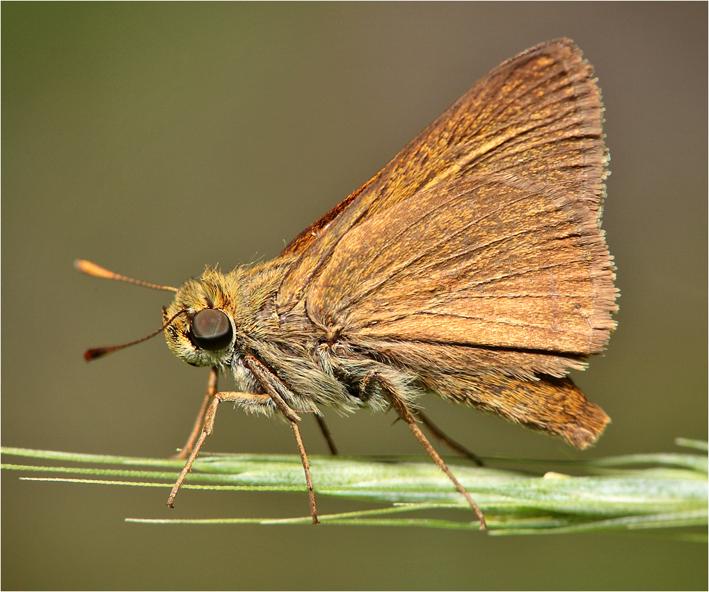
Sandhill Skipper

Sandhill Skipper

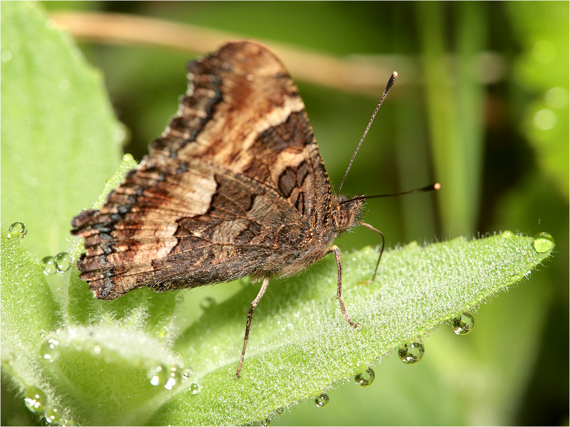
Mylitta Cresent

Kilarc Reservoir
Lassen Volcanic National Park
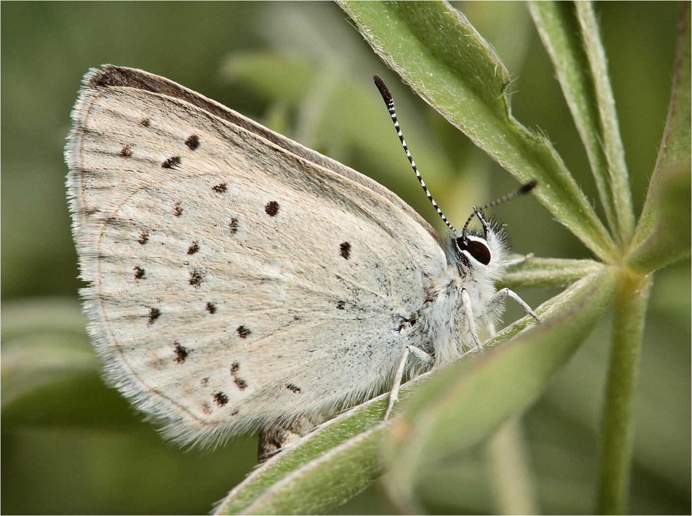
Boisduval's Blue
Dun Skipper

Western Tiger Swallotail

Woodland Skipper

Elk on Oak Run Rd. march 22nd 7am
California Tortoiseshell

Roberts_76 Summit Lake

Roberts_74 Summit Lake

Secret Turkey Spot- decoy in place
Ott-Stahl
Elmer's Way
Topographic Map of Hufford Ranch Rd, Whitmore, CA, USA
Find elevation by address:

Places near Hufford Ranch Rd, Whitmore, CA, USA:
10518 Hufford Ranch Rd
29323 S Cow Creek Rd
29348 S Cow Creek Rd
10473 Blue Mountain Ranch Rd
Blue Mountain Ranch Rd, Whitmore, CA, USA
29246 Westmoore Rd
Doodlebug Lane
7593 Midway Pines Dr
7324 Patience Ln
30562 Thumper Dr
7295 Shasta Forest Dr
7169 Shasta Forest Dr
7354 Shasta Forest Dr
7374 Shasta Forest Dr
7493 Shasta Forest Dr
30763 Thumper Dr
7493 Shasta Forest Dr
7174 Dogwood Cir
30892 Dandelion Ln
Shingletown
Recent Searches:
- Elevation of Steadfast Ct, Daphne, AL, USA
- Elevation of Lagasgasan, X+CQH, Tiaong, Quezon, Philippines
- Elevation of Rojo Ct, Atascadero, CA, USA
- Elevation of Flagstaff Drive, Flagstaff Dr, North Carolina, USA
- Elevation of Avery Ln, Lakeland, FL, USA
- Elevation of Woolwine, VA, USA
- Elevation of Lumagwas Diversified Farmers Multi-Purpose Cooperative, Lumagwas, Adtuyon, RV32+MH7, Pangantucan, Bukidnon, Philippines
- Elevation of Homestead Ridge, New Braunfels, TX, USA
- Elevation of Orchard Road, Orchard Rd, Marlborough, NY, USA
- Elevation of 12 Hutchinson Woods Dr, Fletcher, NC, USA