Elevation of Hudson Township, MO, USA
Location: United States > Missouri > Macon County >
Longitude: -92.480198
Latitude: 39.7285532
Elevation: 257m / 843feet
Barometric Pressure: 98KPa
Elevation Map:
Satellite Map:
Related Photos:

NICE - NEC 1850 LCD Monitor with added Speaker Bar

Long Branch State Park

Long-Branch-Shelf

Using the Sun for advantage

Walking in Macon, Missouri

Fall Colors in North Missouri Oct 9, 2020

City Horses

The City Farm House

1996 Jacksonville, Missouri

1996 Jacksonville, Missouri

Quarter Moon Pit Stop

Beautiful Triple Rose

Yellow Dahlia with/Flag

Miniture Butterfly Bush

Another Wife's Hibiscus

Beautiful Annual Hibiscus

Yellow Hibiscus

Just another butterfly taken a couple days ago.

Black Eyed Susans

Purple Phlox

Purple Lust

Green Frog on My Lily
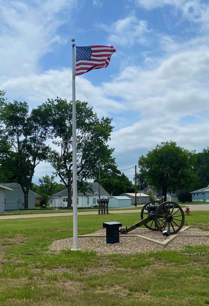
City Park Flag

Red H Again
Topographic Map of Hudson Township, MO, USA
Find elevation by address:

Places in Hudson Township, MO, USA:
Places near Hudson Township, MO, USA:
Macon
Lark Street
Bevier Township
Bevier Township
Bevier Township
Bevier Township
Bevier Township
Bevier Township
Bevier Township
Bevier Township
Bevier Township
Bevier Township
Bevier Township
Bevier Township
Bevier Township
Bevier Township
Bevier Township
Bevier Township
Bevier Township
Bevier Township
Recent Searches:
- Elevation of Congressional Dr, Stevensville, MD, USA
- Elevation of Bellview Rd, McLean, VA, USA
- Elevation of Stage Island Rd, Chatham, MA, USA
- Elevation of Shibuya Scramble Crossing, 21 Udagawacho, Shibuya City, Tokyo -, Japan
- Elevation of Jadagoniai, Kaunas District Municipality, Lithuania
- Elevation of Pagonija rock, Kranto 7-oji g. 8"N, Kaunas, Lithuania
- Elevation of Co Rd 87, Jamestown, CO, USA
- Elevation of Tenjo, Cundinamarca, Colombia
- Elevation of Côte-des-Neiges, Montreal, QC H4A 3J6, Canada
- Elevation of Bobcat Dr, Helena, MT, USA