Elevation map of Huaral Province, Peru
Location: Peru > Lima >
Longitude: -76.924734
Latitude: -11.309635
Elevation: 1786m / 5860feet
Barometric Pressure: 82KPa
Elevation Map:
Satellite Map:
Related Photos:

Rúpac noise

Ray Tracing
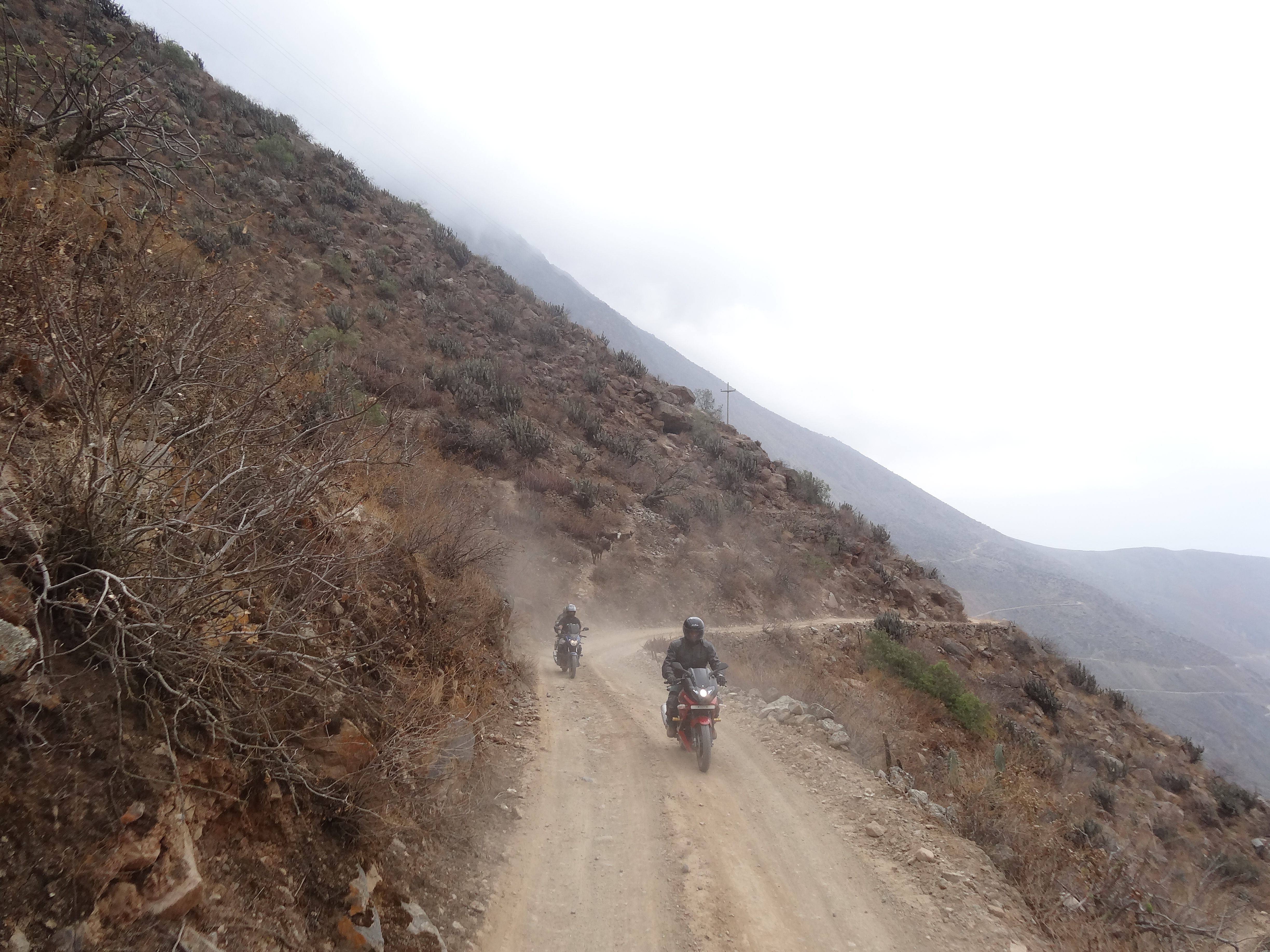
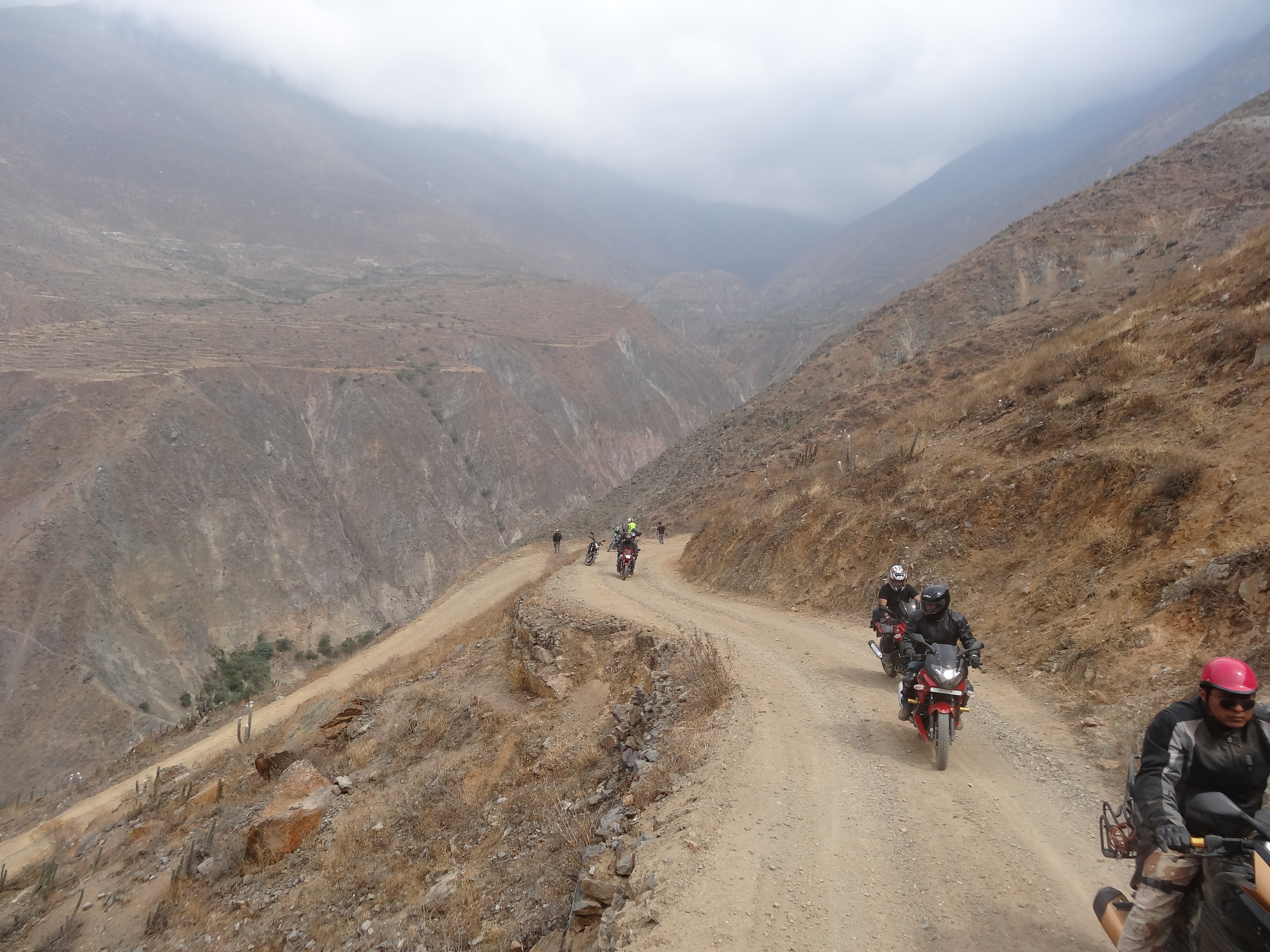
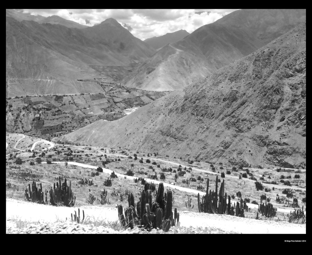
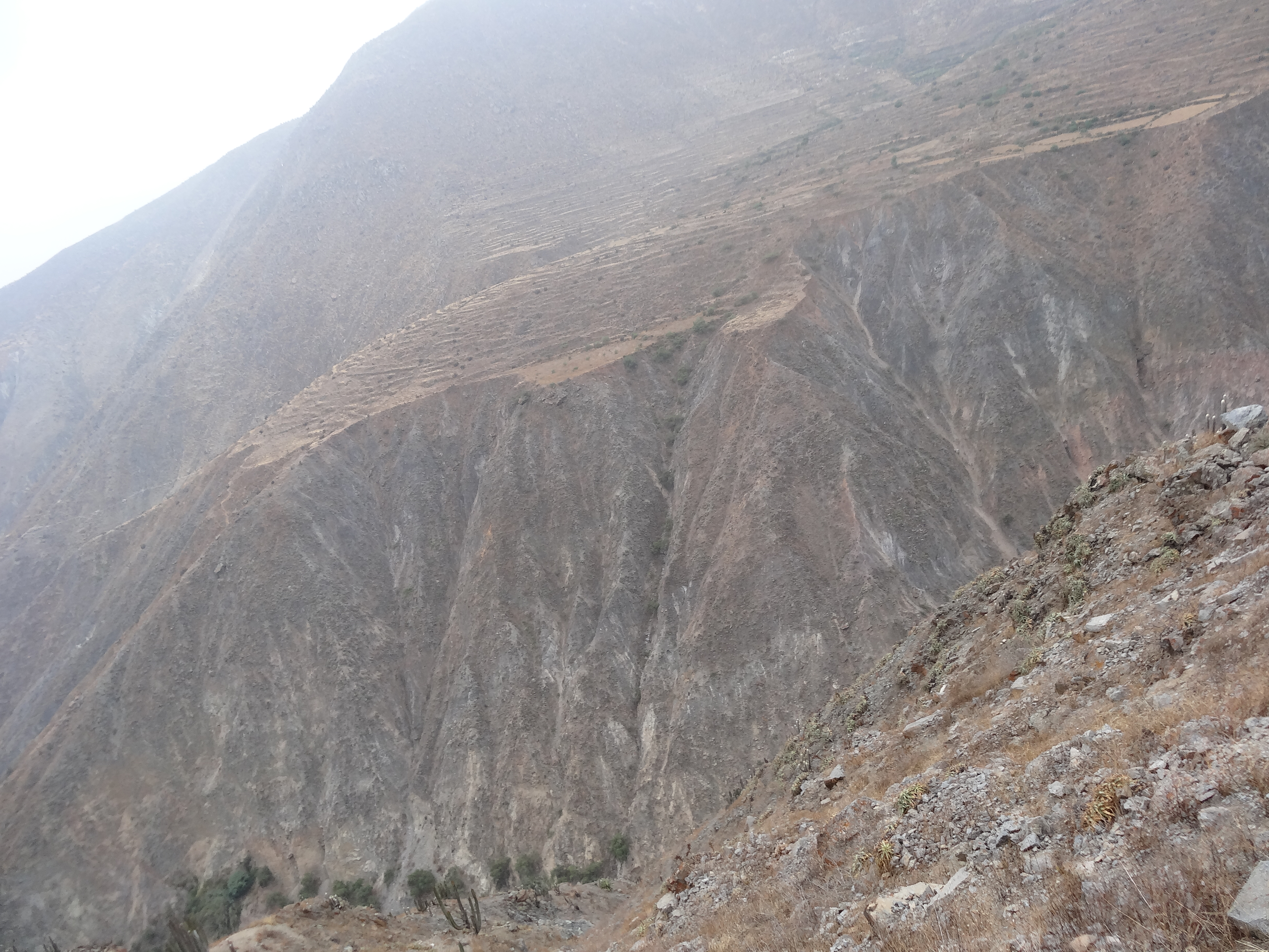
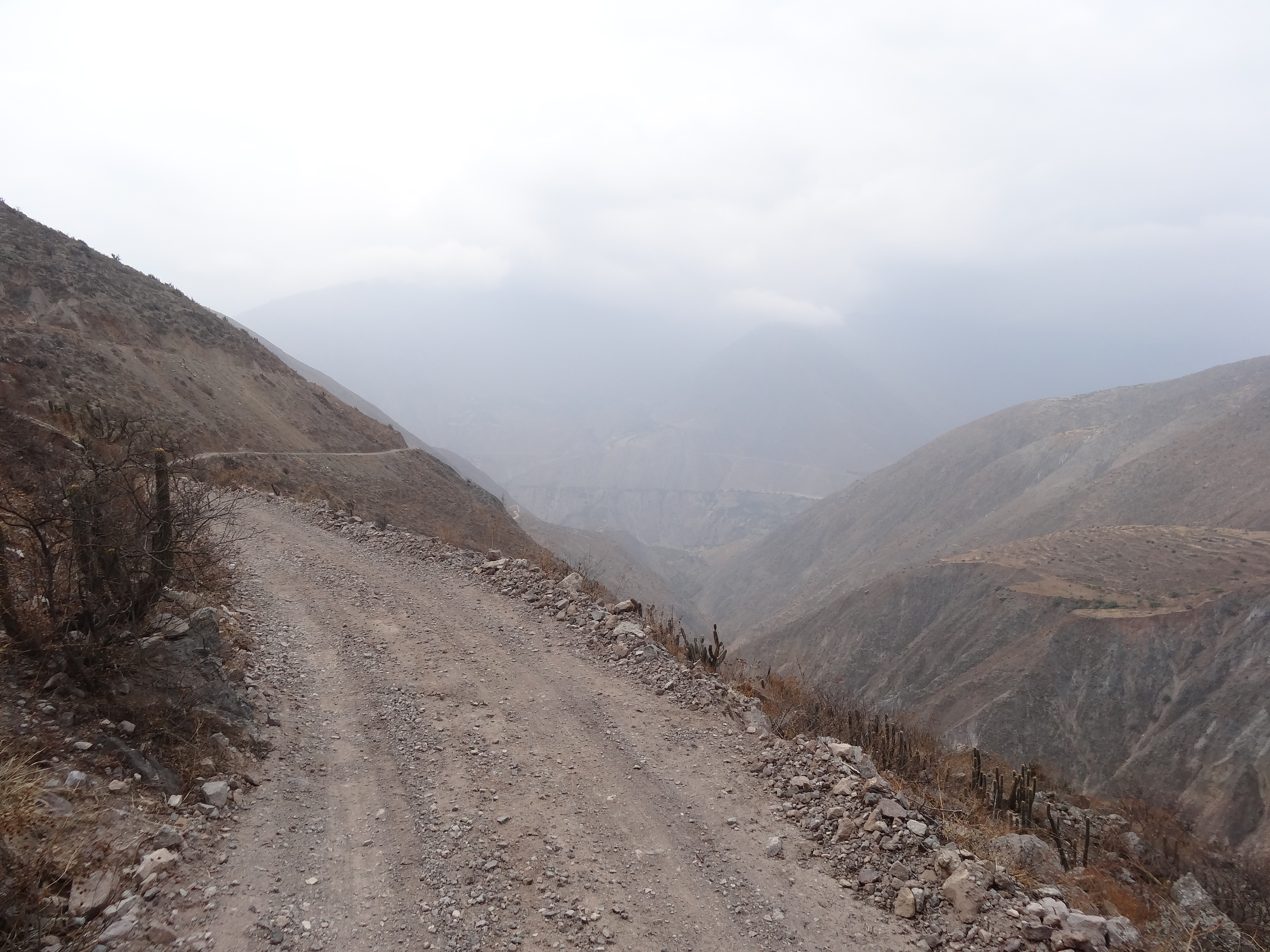
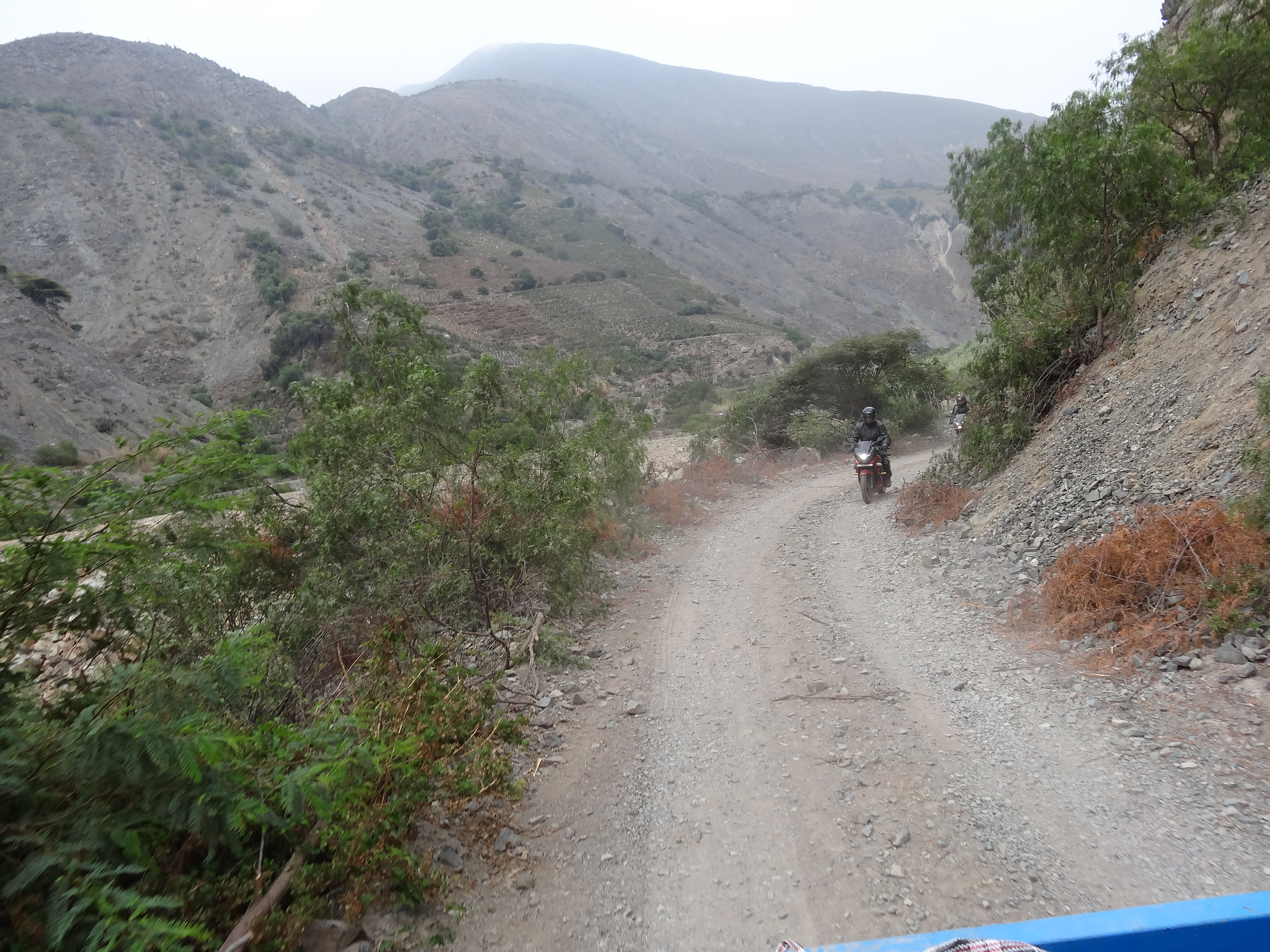
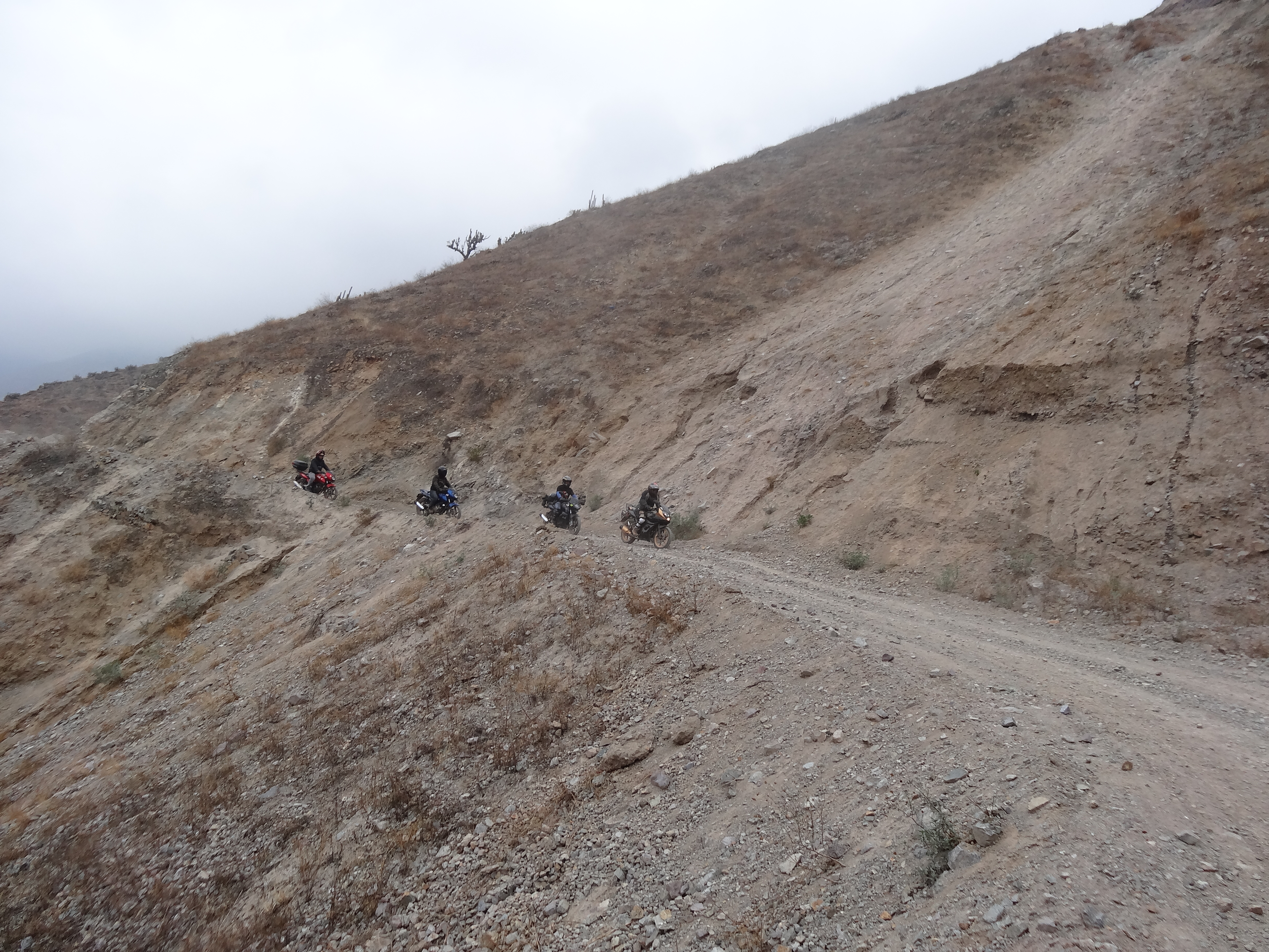
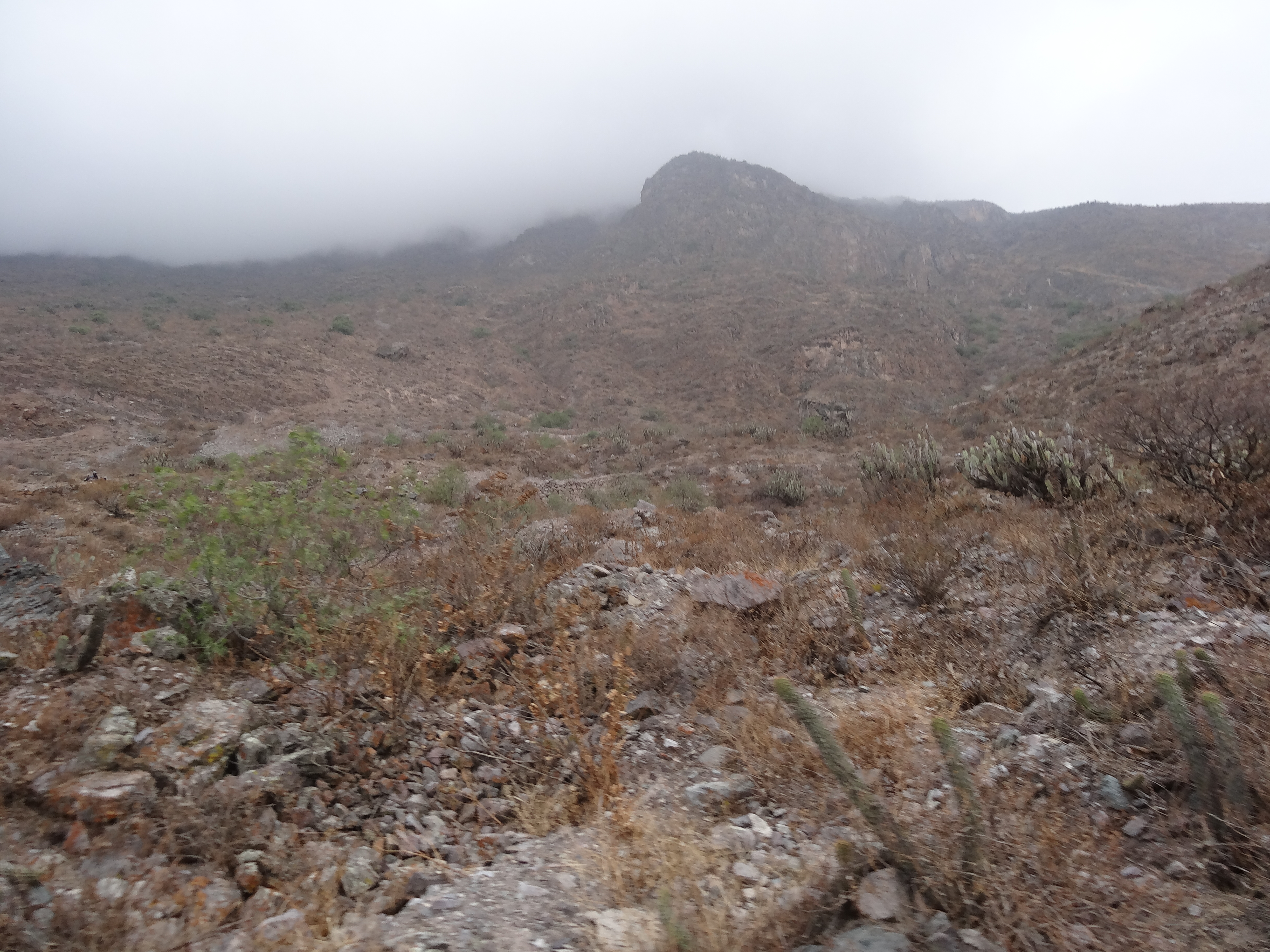
La Florida
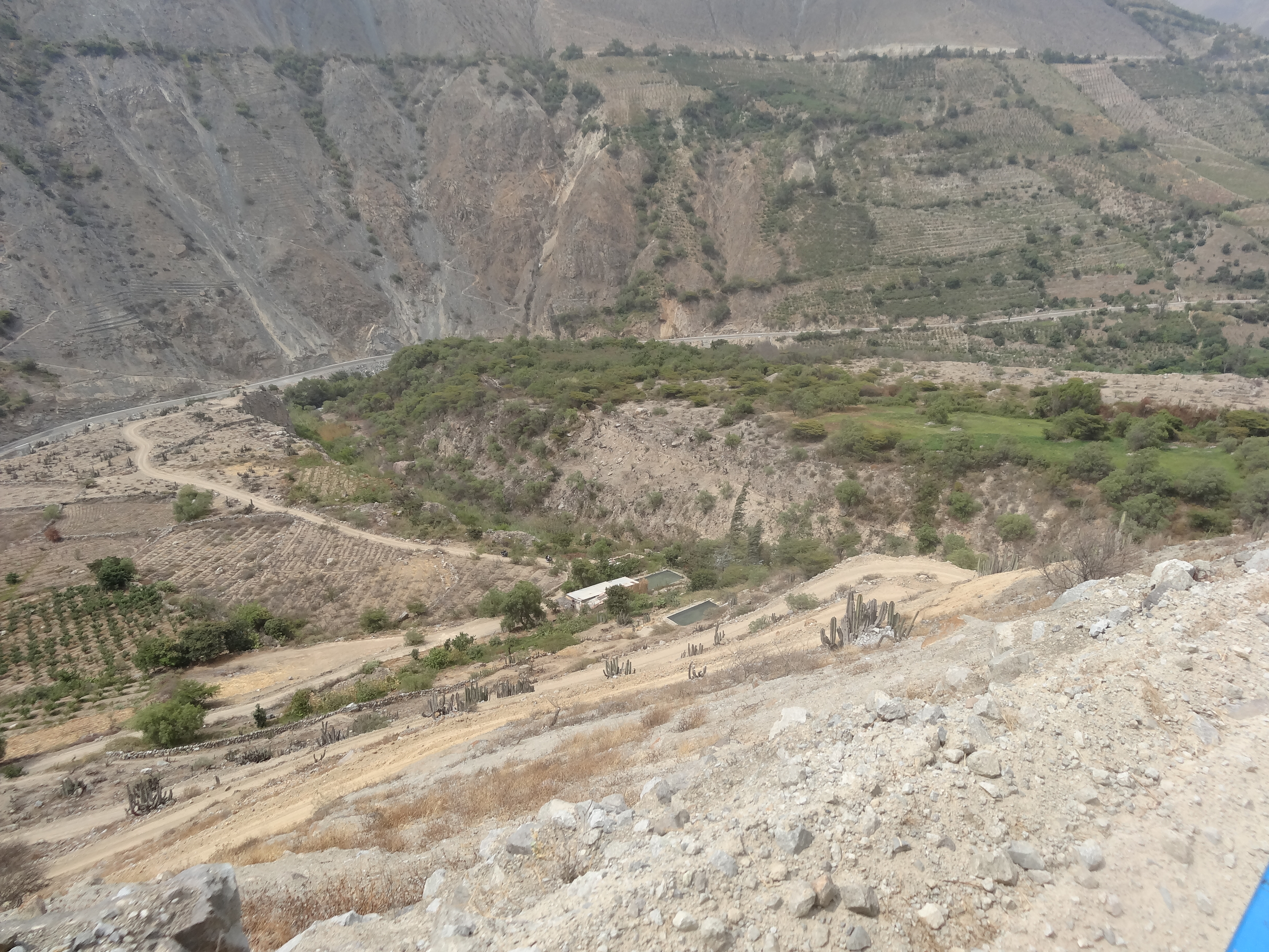
La Florida
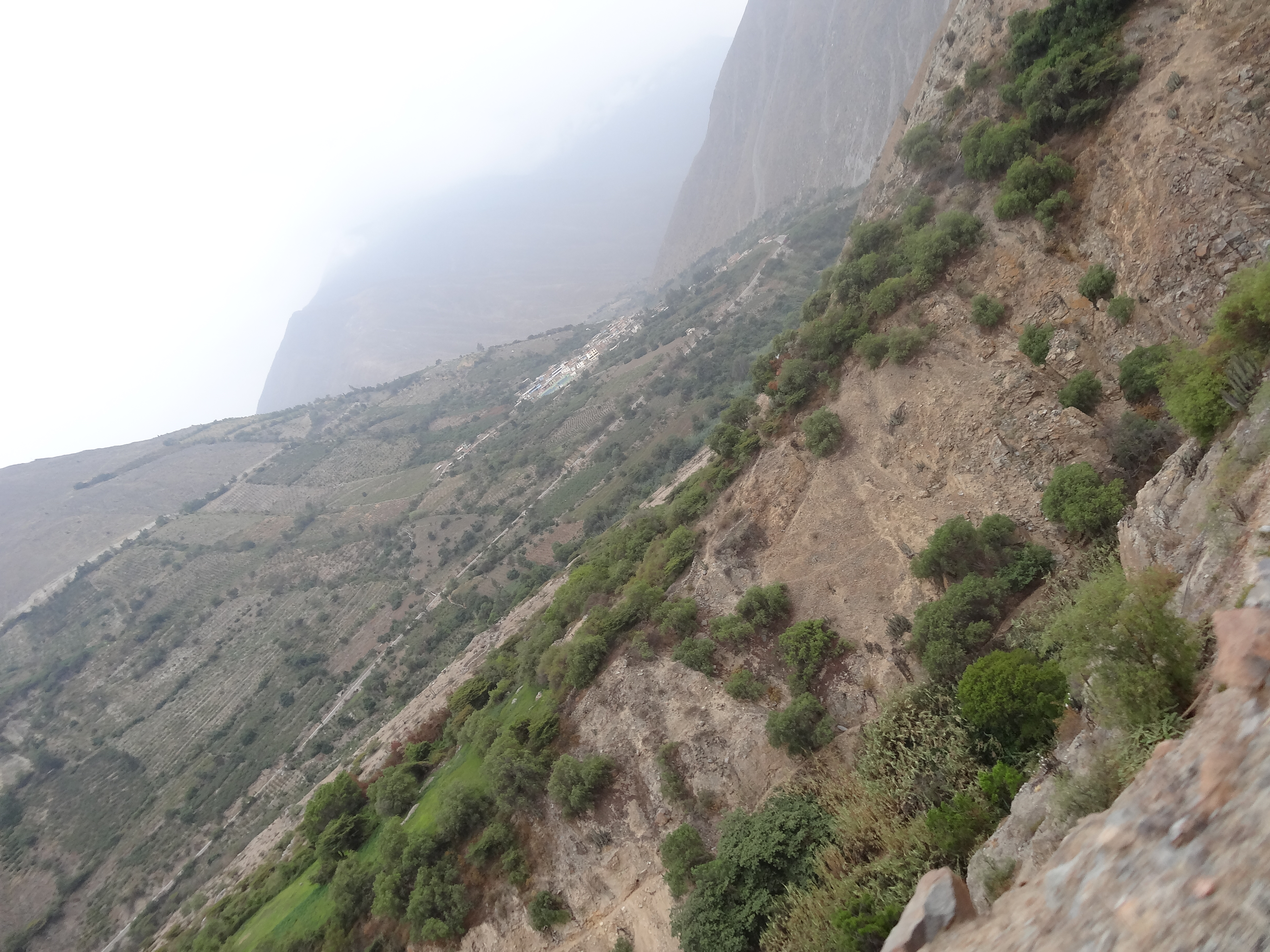
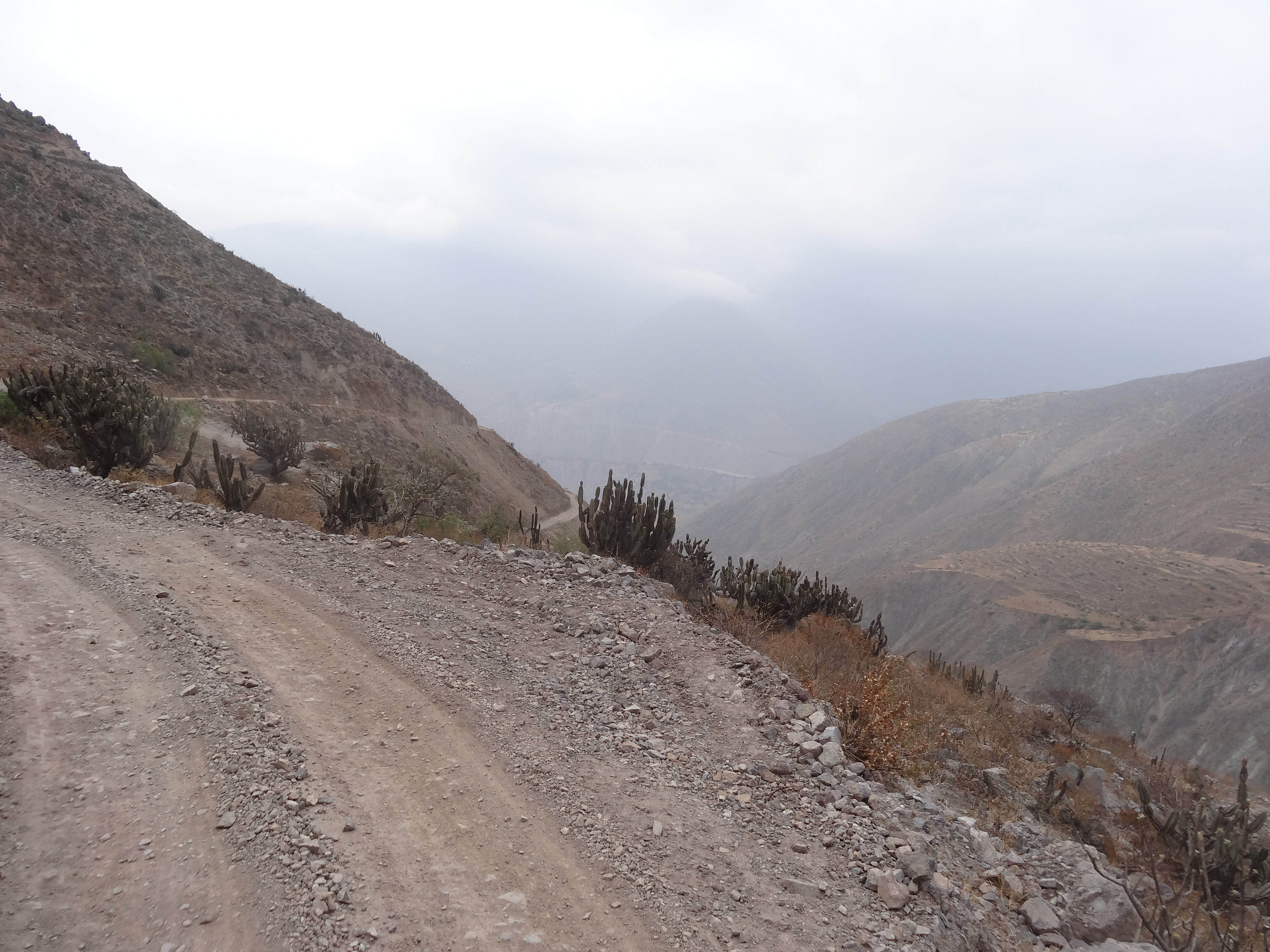
Árido
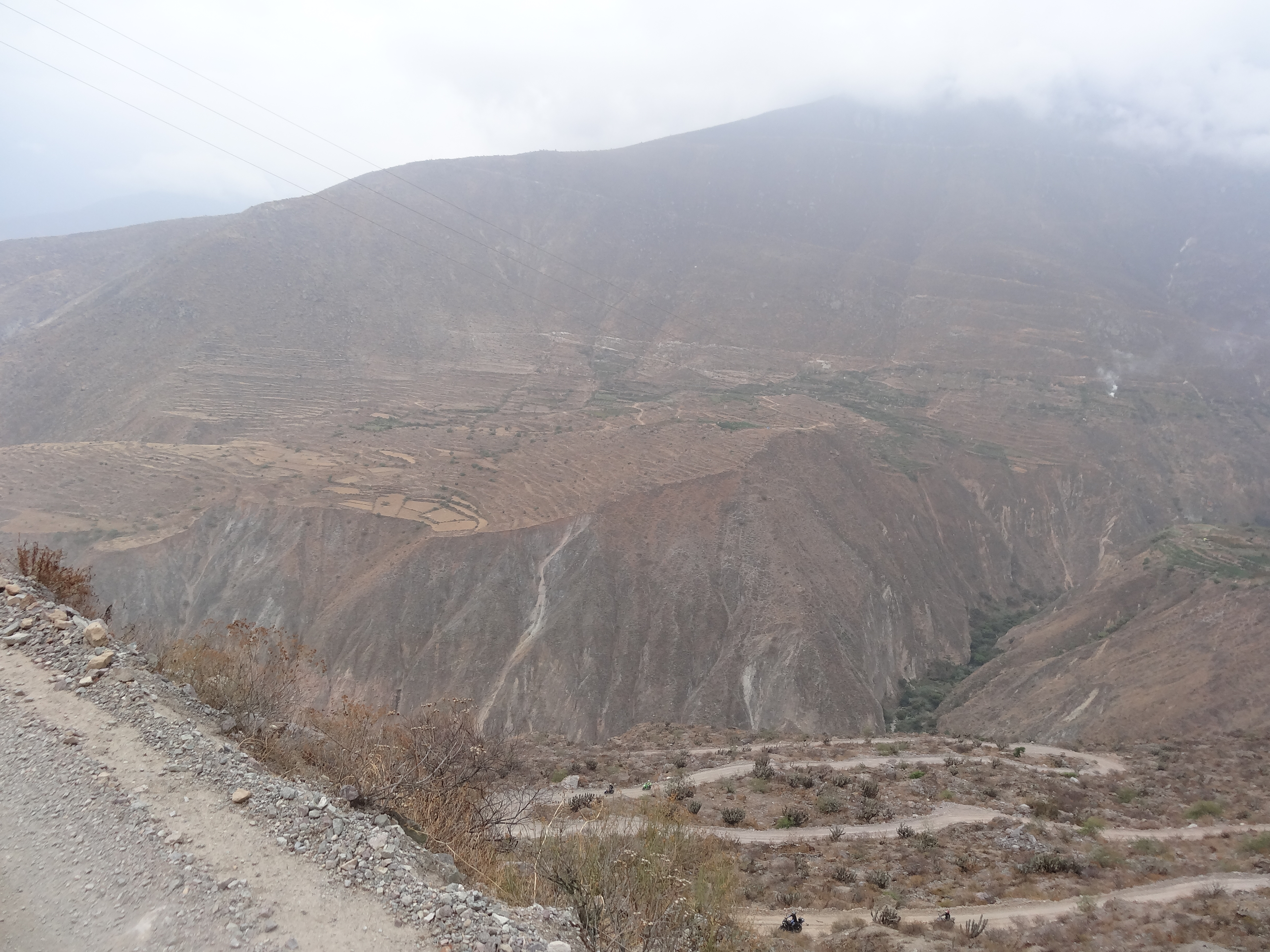
La Florida
La Florida
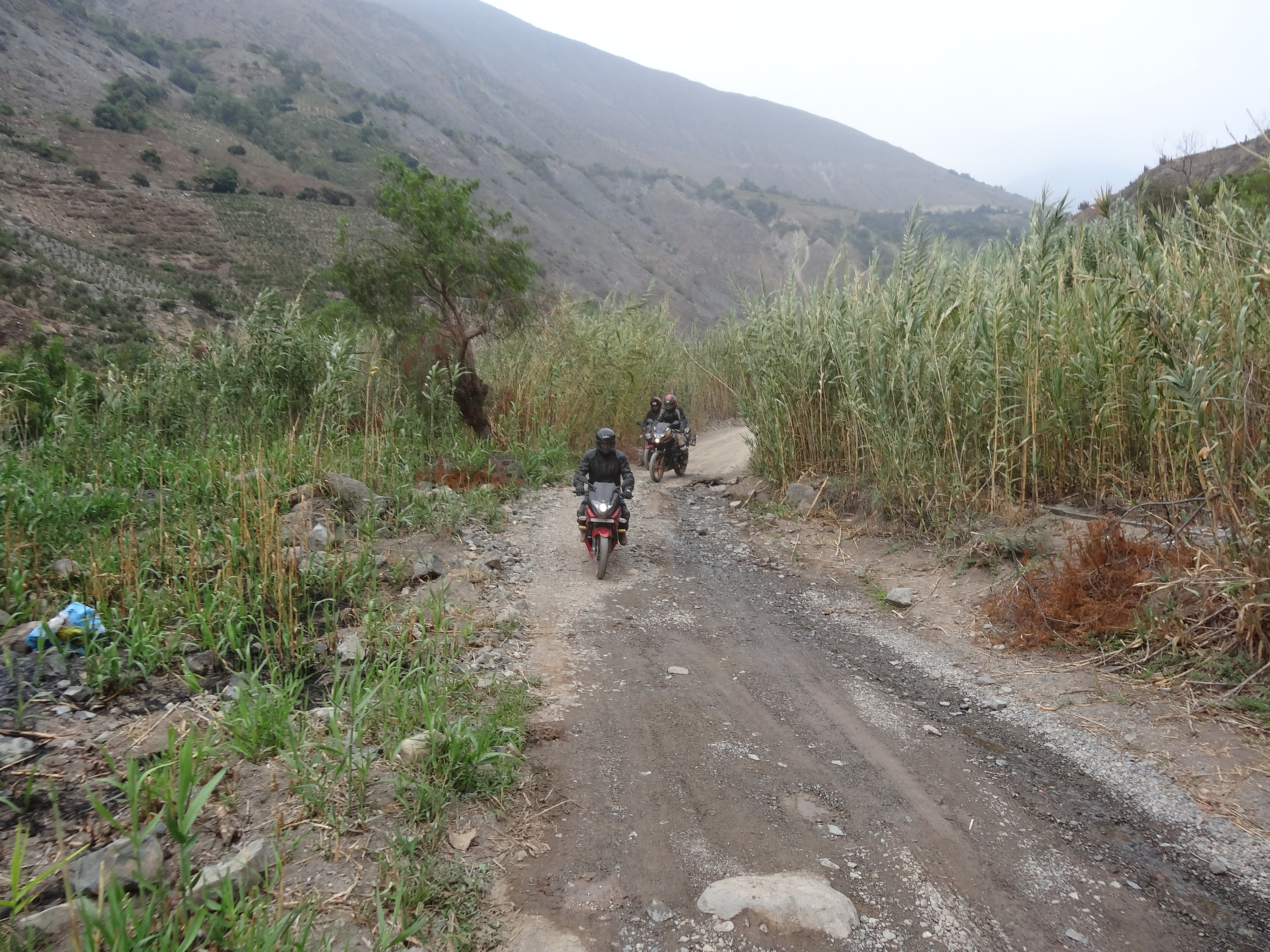
La Florida
La Florida
La Florida

La Florida
La Florida

La Florida

La Florida
La Florida

La Florida
La Florida
La Florida
La Florida

Visita a la Cuenca Chancay - Huaral del Proyecto de Modernización de la Gestión de Recursos Hídricos
Topographic Map of Huaral Province, Peru
Find elevation by address:

Places in Huaral Province, Peru:
Places near Huaral Province, Peru:
Canta Province
Huaral
Hotel Collpa
Santa Rosa De Quives District
Panamericana Nte. 76, Chancayllo, Peru
Serpentín Pasamayo
Ancón
Callao Region
Av. San Martin, Peru
San Juan De Lurigancho
Colegio Santa Rita
San Hilarion
Los Postes
Lurigancho-chosica
Estación Los Jardines
Ate
Columbia Sede Los Olivos
Tierras Viajeras Hostel Cultural
Raza Perú
Machu Picchu
Recent Searches:
- Elevation of State St, Zanesville, OH, USA
- Elevation of Austin Stone Dr, Haslet, TX, USA
- Elevation of Bydgoszcz, Poland
- Elevation of Bydgoszcz, Poland
- Elevation of Calais Dr, Del Mar, CA, USA
- Elevation of Placer Mine Ln, West Jordan, UT, USA
- Elevation of E 63rd St, New York, NY, USA
- Elevation of Elk City, OK, USA
- Elevation of Erika Dr, Windsor, CA, USA
- Elevation of Village Ln, Finleyville, PA, USA