Elevation of Hracholusky 71, 11 Hracholusky, Czech Republic
Location: Czech Republic > South Bohemian Region > Prachatice District > Hracholusky >
Longitude: 14.1163042
Latitude: 49.0673025
Elevation: 522m / 1713feet
Barometric Pressure: 95KPa
Elevation Map:
Satellite Map:
Related Photos:
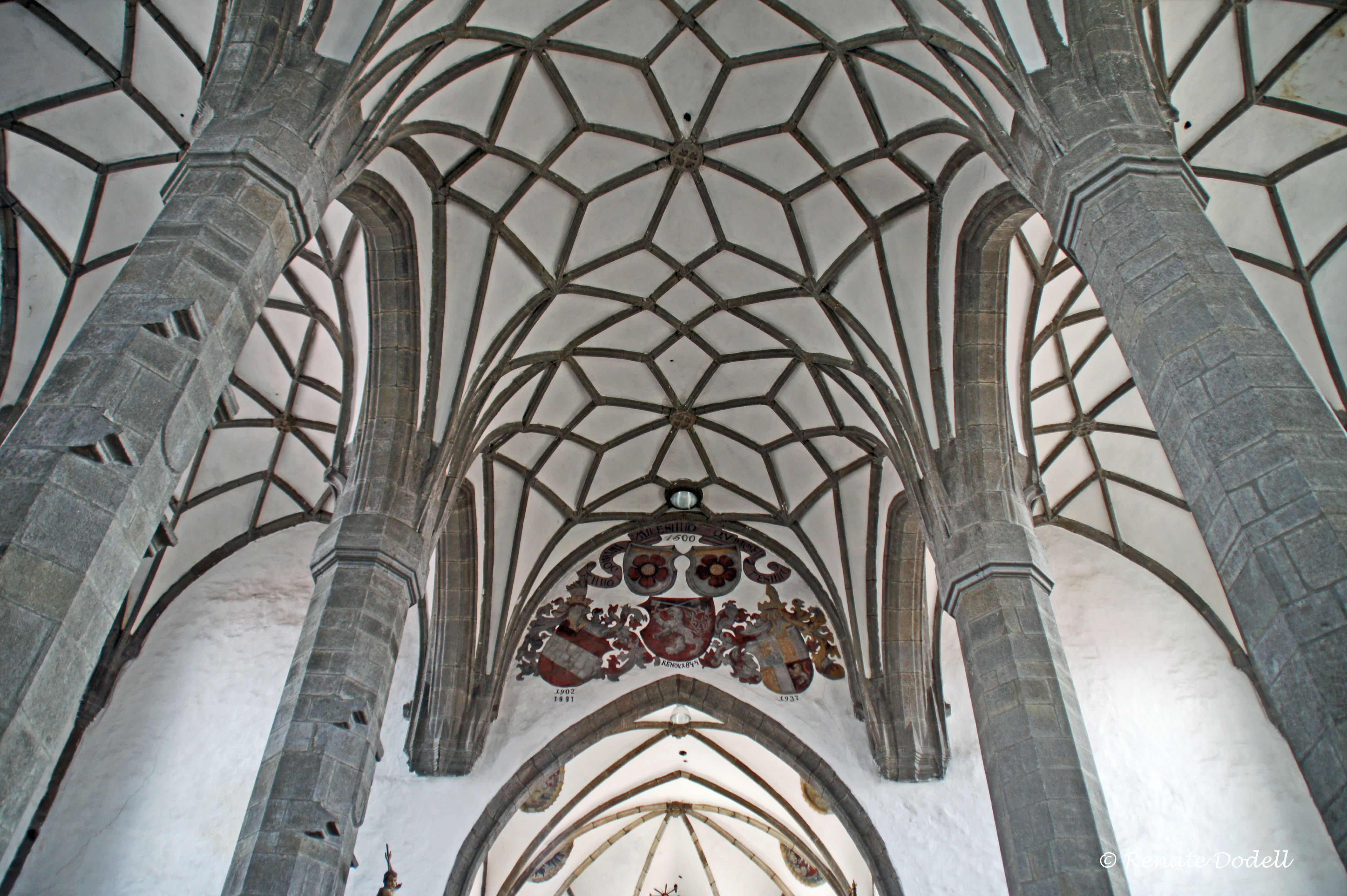
Gotic vaults

Morning in Prachatice

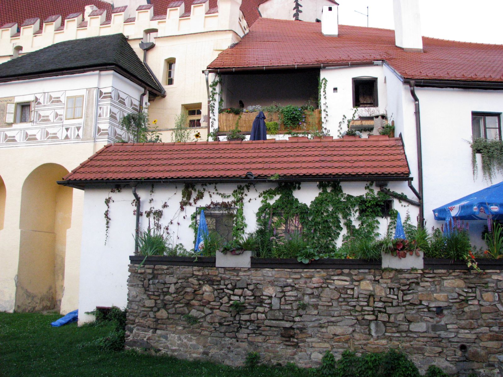
Czech Country House Palasovna
Morning roofs from the Prachatice city garden

Dementia unit view
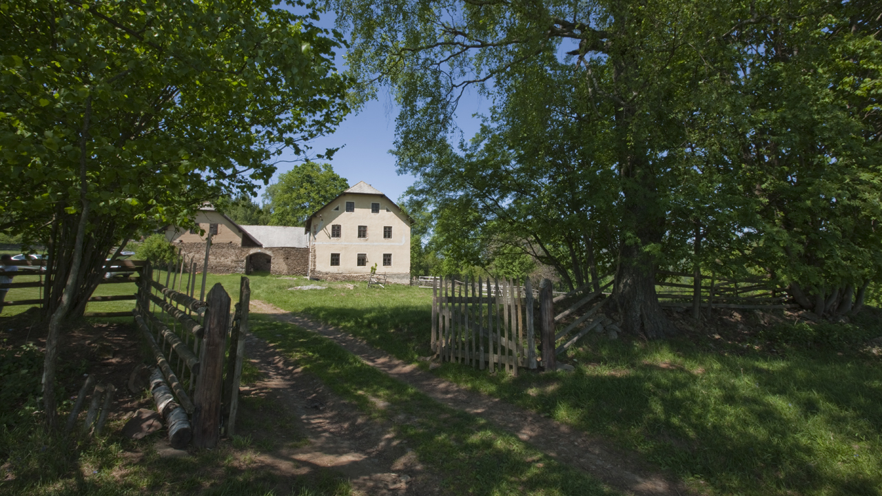
Czech Country House Palasovna

Czech Country House Palasovna

Czech Country House Palasovna

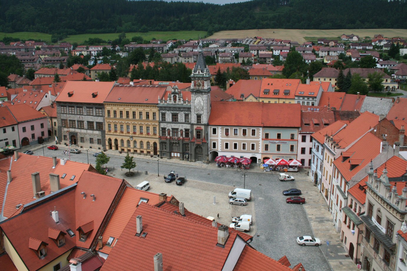
Town square view
Velké náměstí again
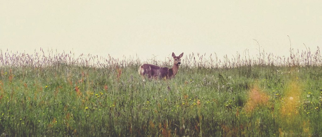
hello, doe
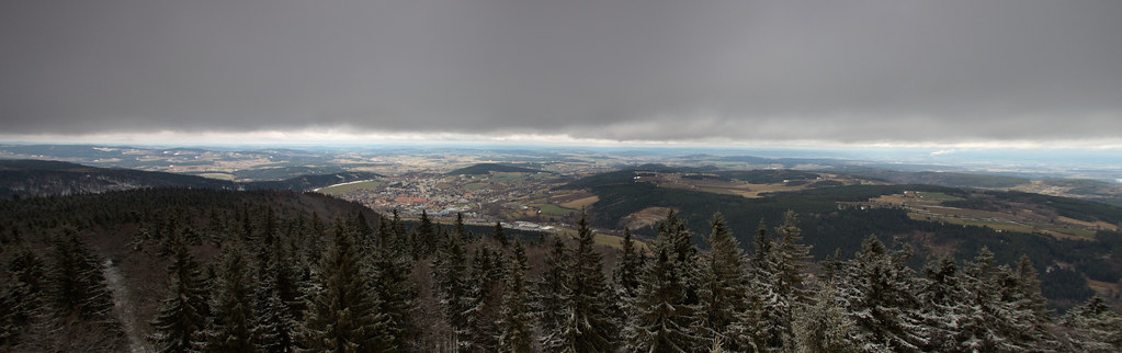
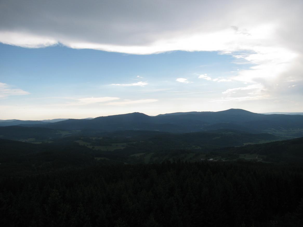
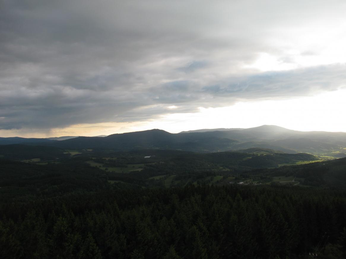
Prachaticko z Libína
20130909-2001
20130901-2022

20130804-2053
20140610-1746
20131006-1854

LKSR Strunkovice - na konci dráhy

20140620-2023

20120707-2025

20130620-1700
20130620-1655
20120924-1913
20140620-2005
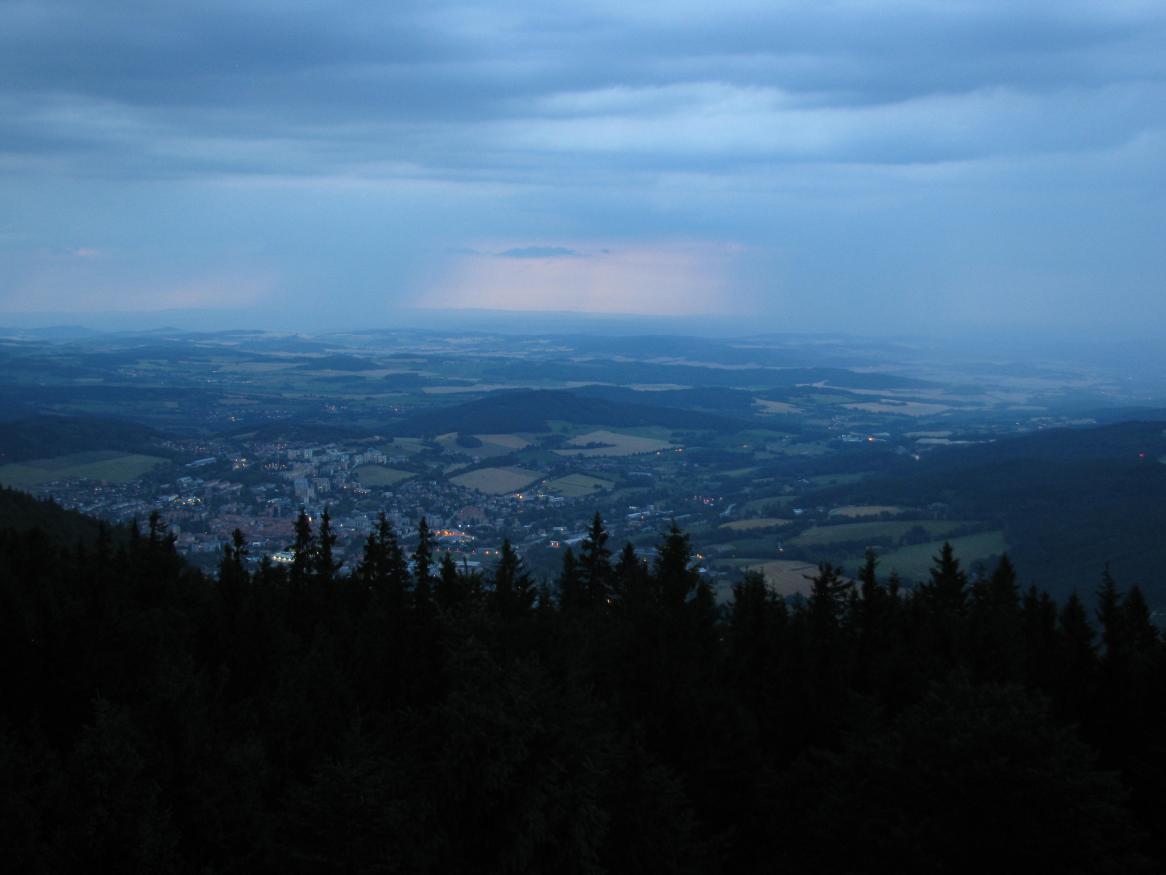
20140707-2121pt
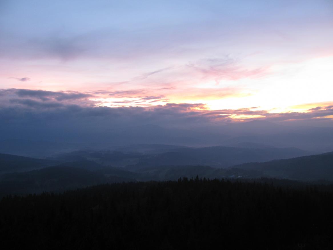
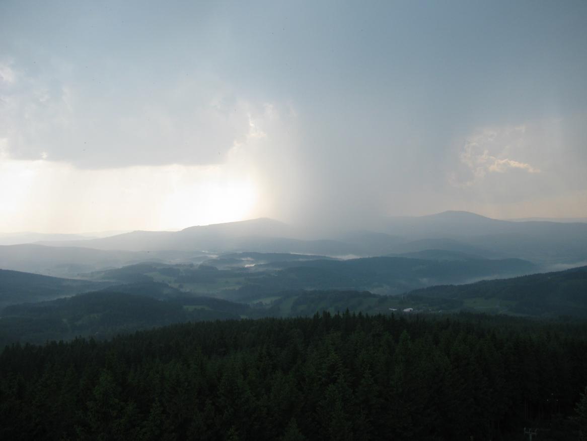
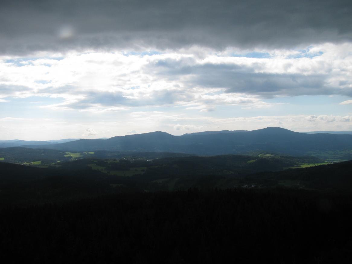
Before the storm
20140824-1628

20140722-1840

20120707-2026pt

20130915-1940

20140630-2110
Topographic Map of Hracholusky 71, 11 Hracholusky, Czech Republic
Find elevation by address:

Places near Hracholusky 71, 11 Hracholusky, Czech Republic:
Hracholusky
Šipoun
Šipoun 20, 01 Strunkovice nad Blanicí, Czech Republic
Mičovice 27, 01 Mičovice, Czech Republic
Mičovice
Vodňany Ii
Vodňany
Staromostecká, Vodňany II, 01 Vodňany, Czech Republic
Babice
Zvěřetice 3, 11 Babice, Czech Republic
Zvěřetice
Hlavatce 37, 48 Hlavatce, Czech Republic
Hlavatce
Skály, 11 Skály, Czech Republic
Radošovice
Protivín
Záboří
Záboří 84, 11 Protivín, Czech Republic
Tupesy 25, 41 Radošovice, Czech Republic
Tupesy
Recent Searches:
- Elevation of Congressional Dr, Stevensville, MD, USA
- Elevation of Bellview Rd, McLean, VA, USA
- Elevation of Stage Island Rd, Chatham, MA, USA
- Elevation of Shibuya Scramble Crossing, 21 Udagawacho, Shibuya City, Tokyo -, Japan
- Elevation of Jadagoniai, Kaunas District Municipality, Lithuania
- Elevation of Pagonija rock, Kranto 7-oji g. 8"N, Kaunas, Lithuania
- Elevation of Co Rd 87, Jamestown, CO, USA
- Elevation of Tenjo, Cundinamarca, Colombia
- Elevation of Côte-des-Neiges, Montreal, QC H4A 3J6, Canada
- Elevation of Bobcat Dr, Helena, MT, USA