Elevation of Hoxie Rd, West Edmeston, NY, USA
Location: United States > New York > Madison County > Brookfield > West Edmeston >
Longitude: -75.294136
Latitude: 42.7844281
Elevation: 515m / 1690feet
Barometric Pressure: 95KPa
Elevation Map:
Satellite Map:
Related Photos:
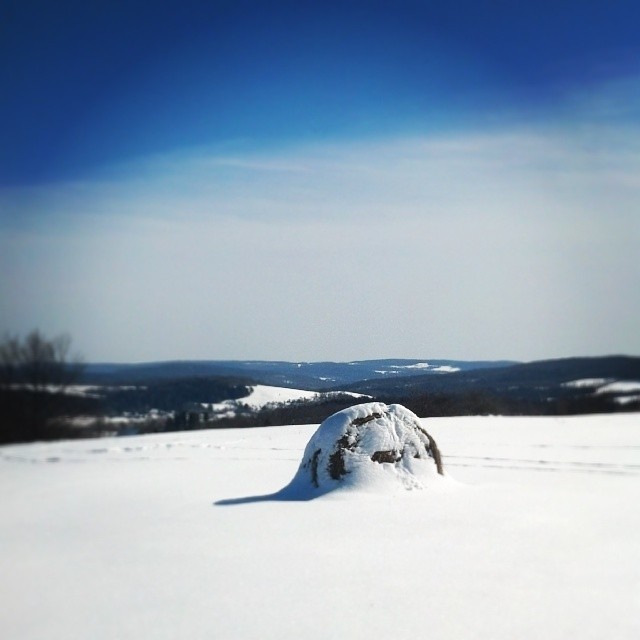
Today's view!!!
100_1723.JPG

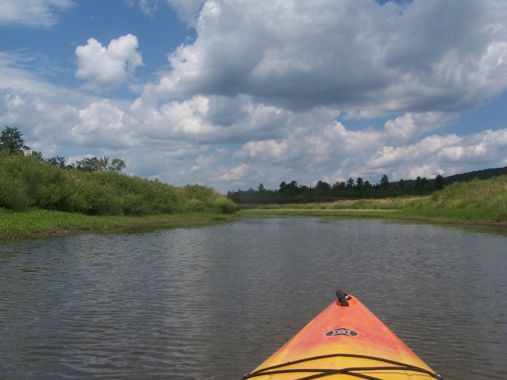
Basswood Pond
Lallier-Walton Wedding-1

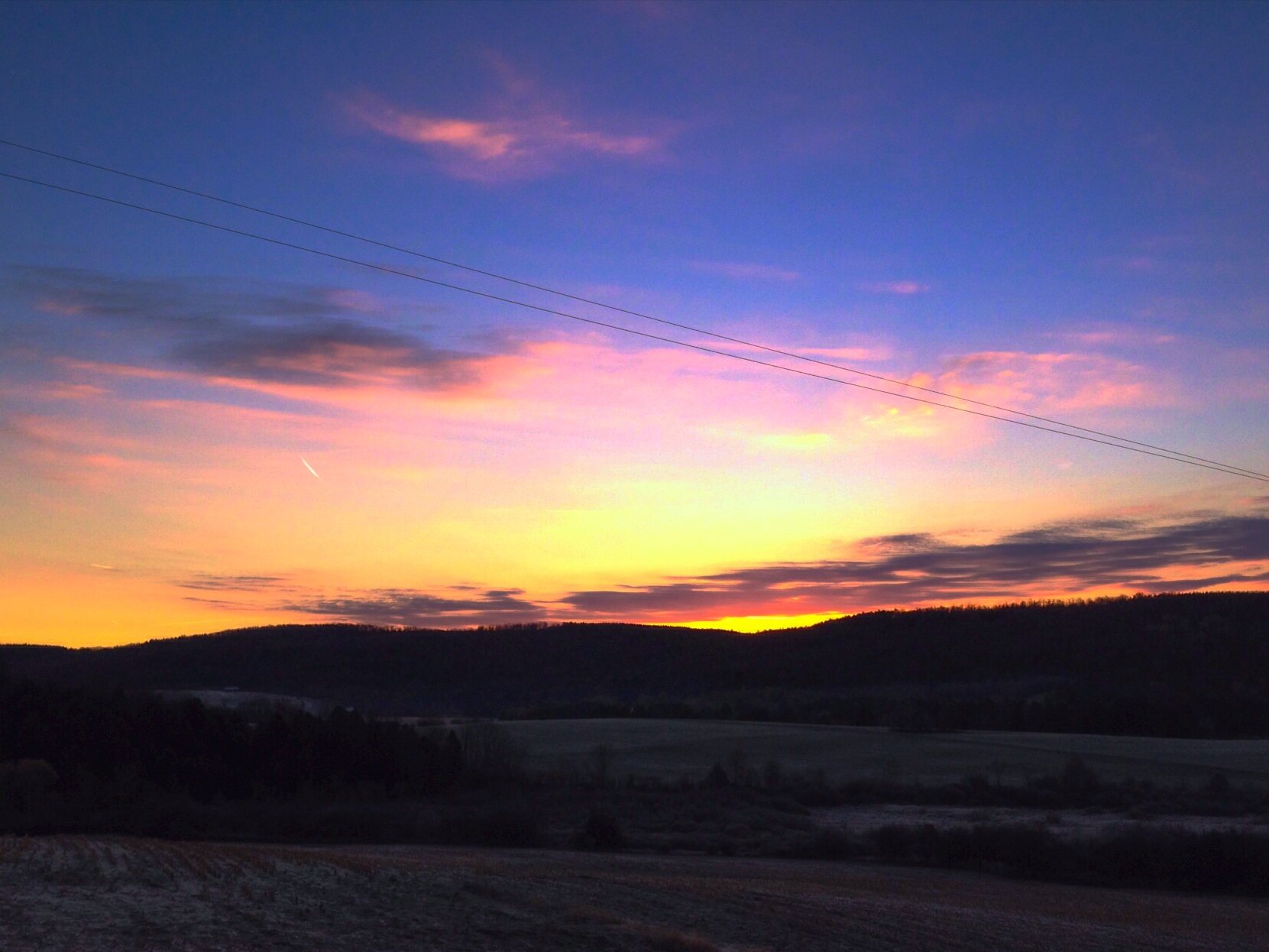
Moon setting

The Grass Whisperer
DSC_0045.jpg
Morning walk

Along the Skanateles Turnpike
DSC_0044.jpg

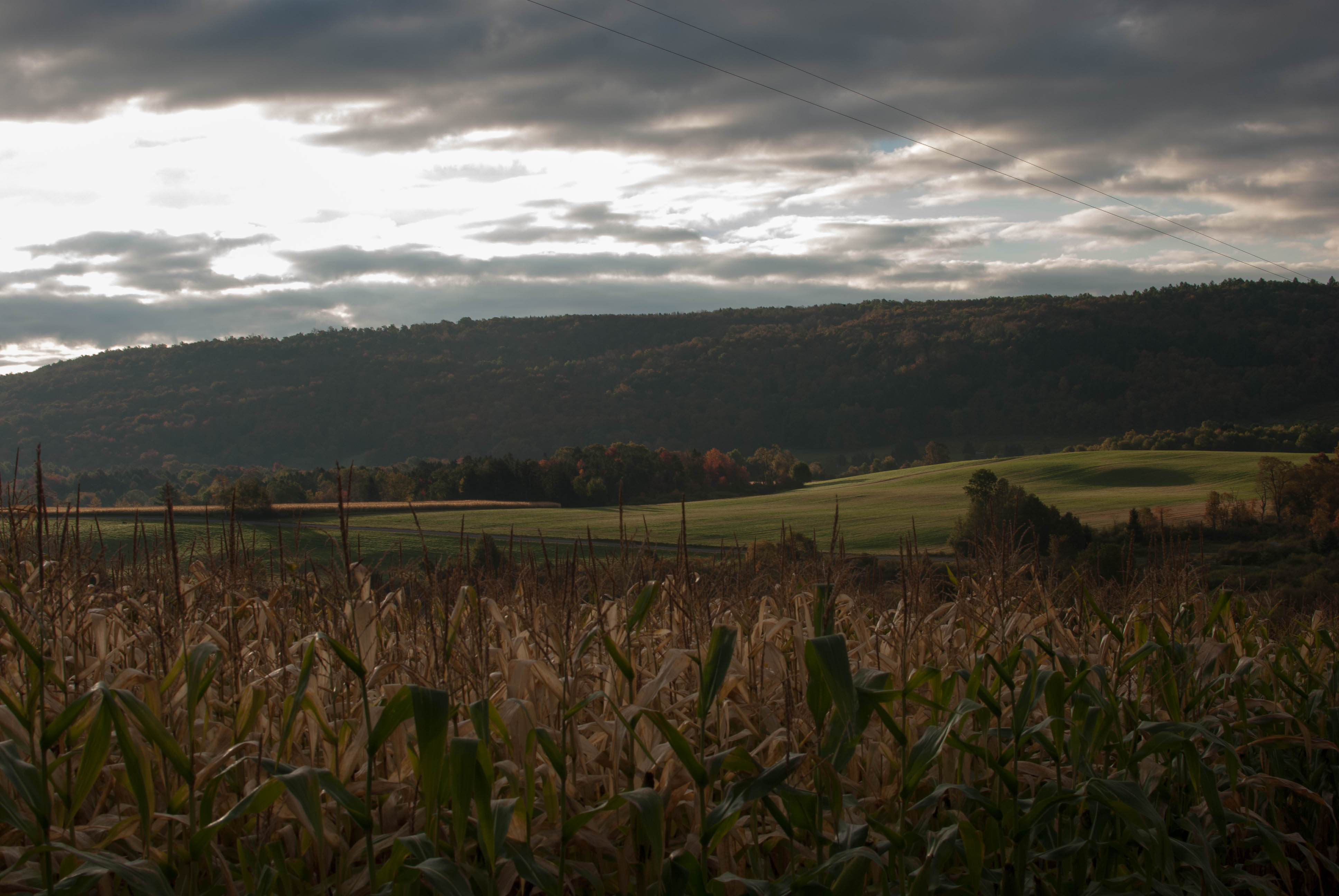
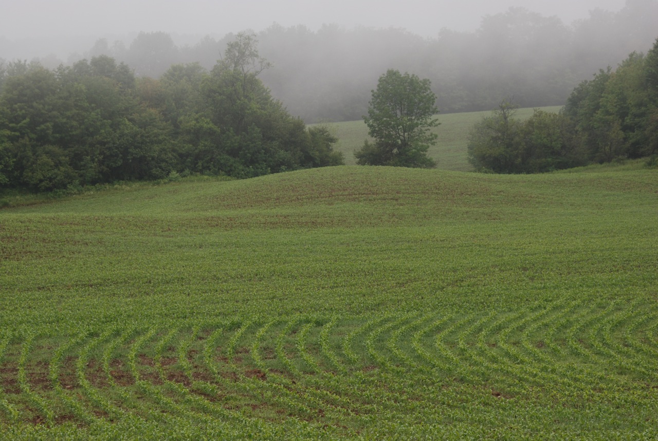
Early Corn
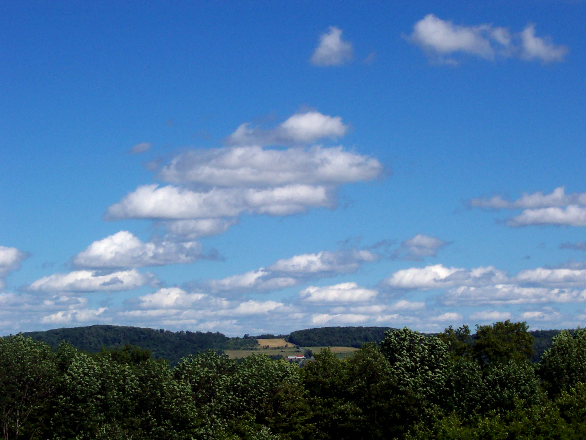
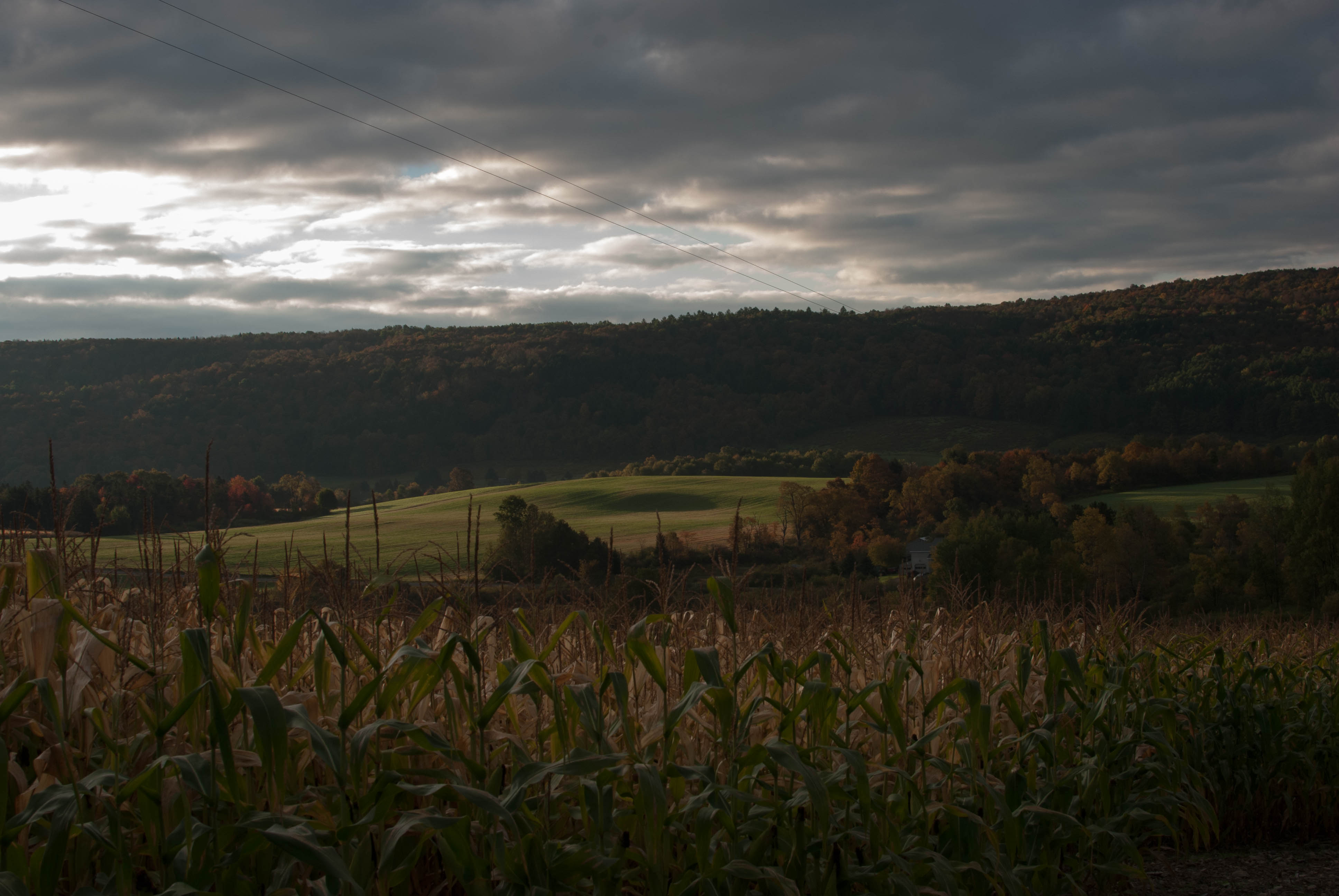
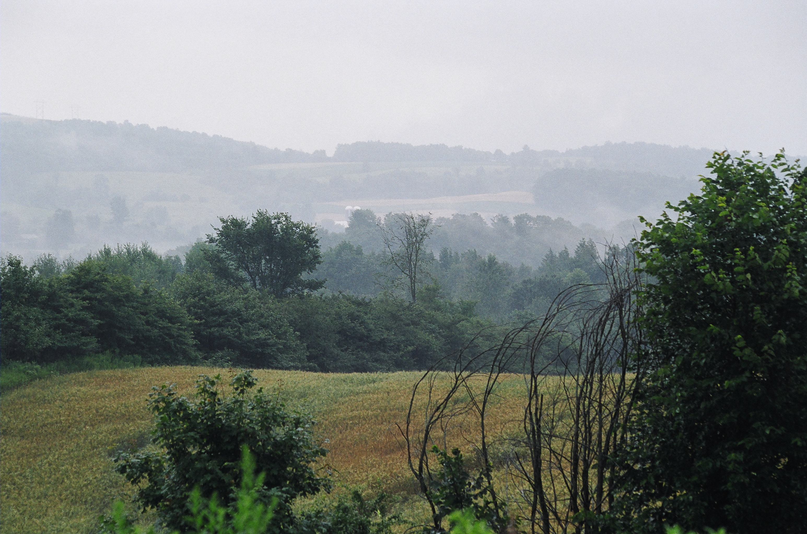
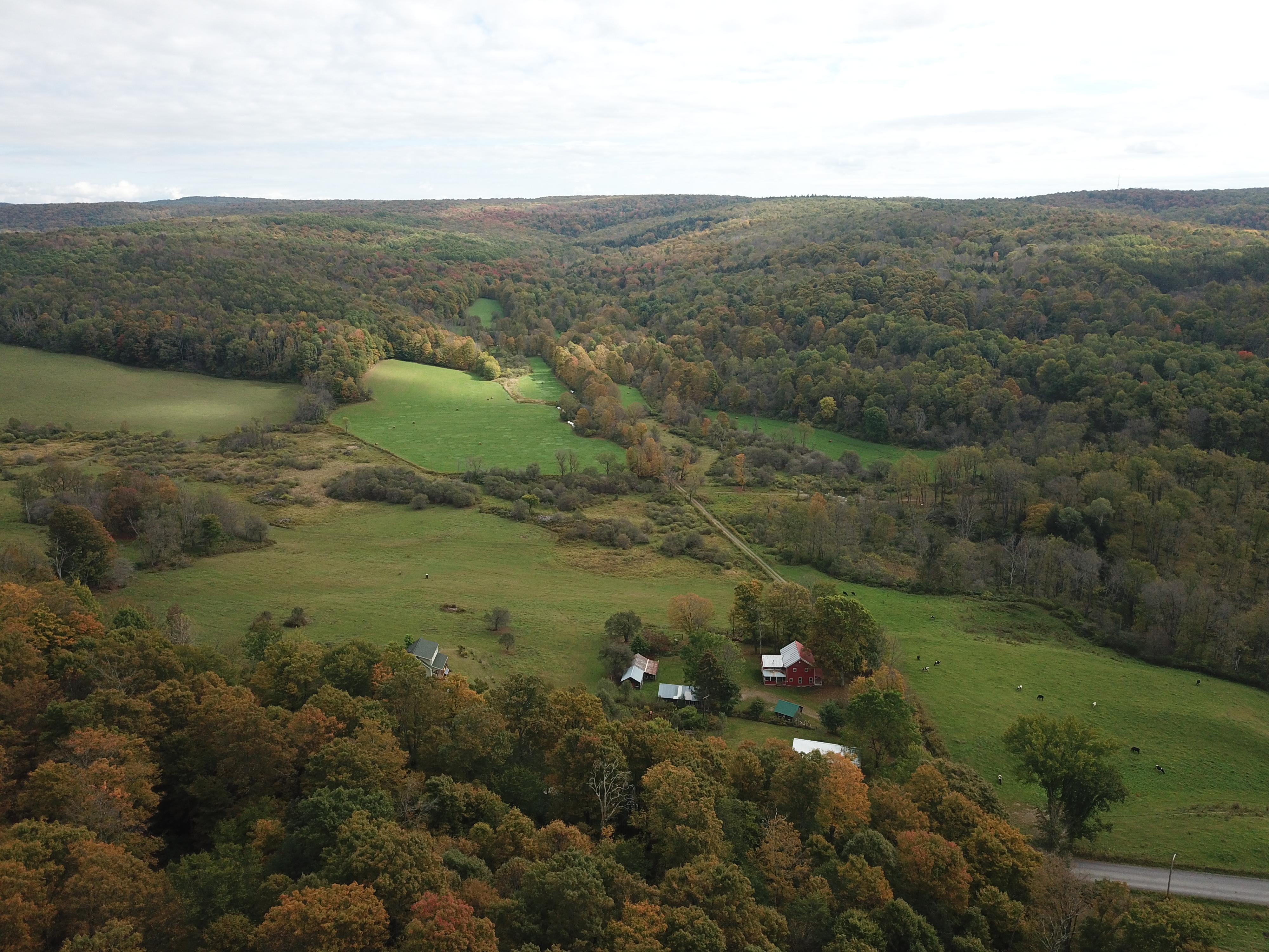
Central New York landscape
Route 20
Central New York landscape
Williams Road
North Brookfield, N.Y.
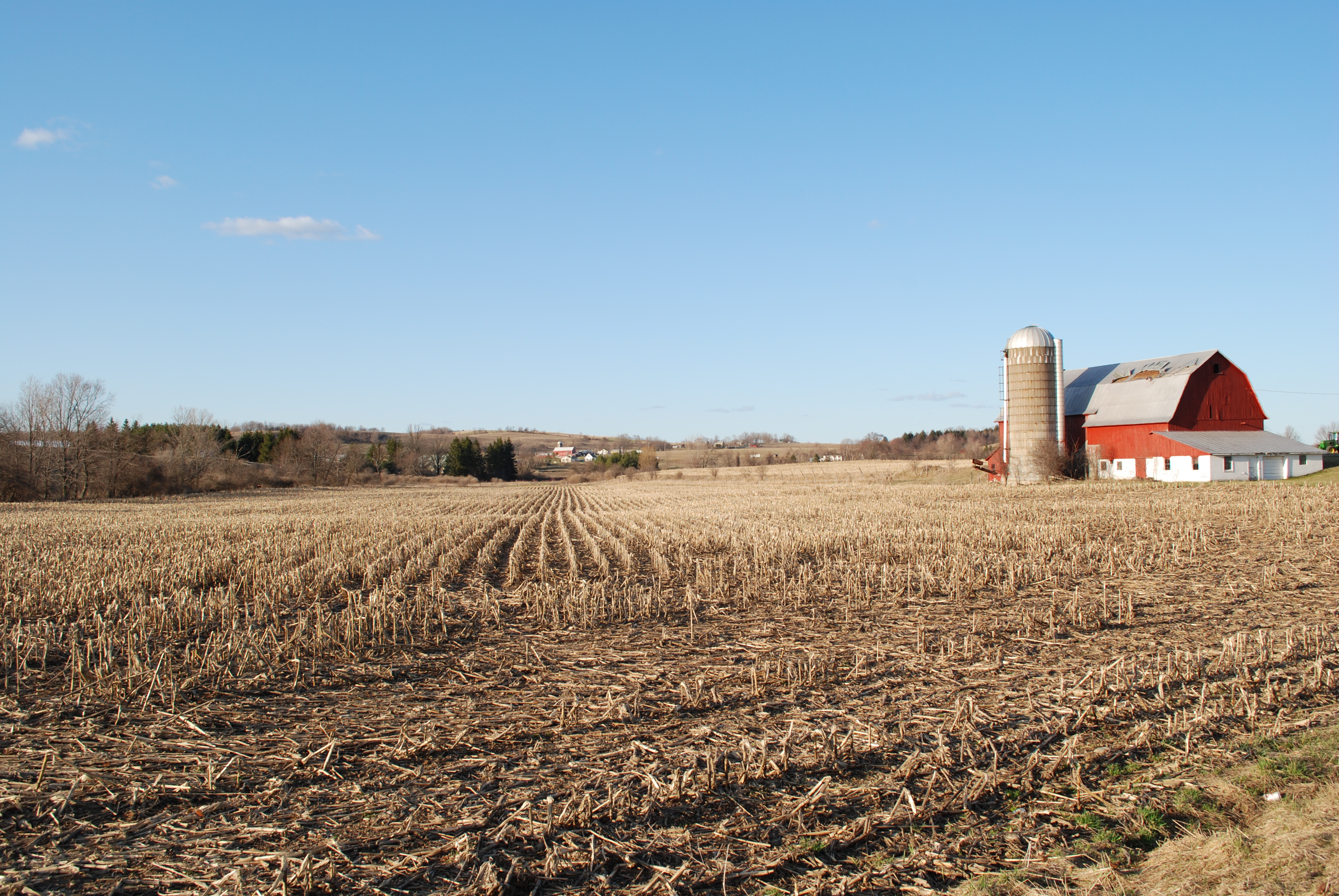
Early Corn

Cherry Hill Camping Area Road

Recently Logged Woods
Central New York landscape
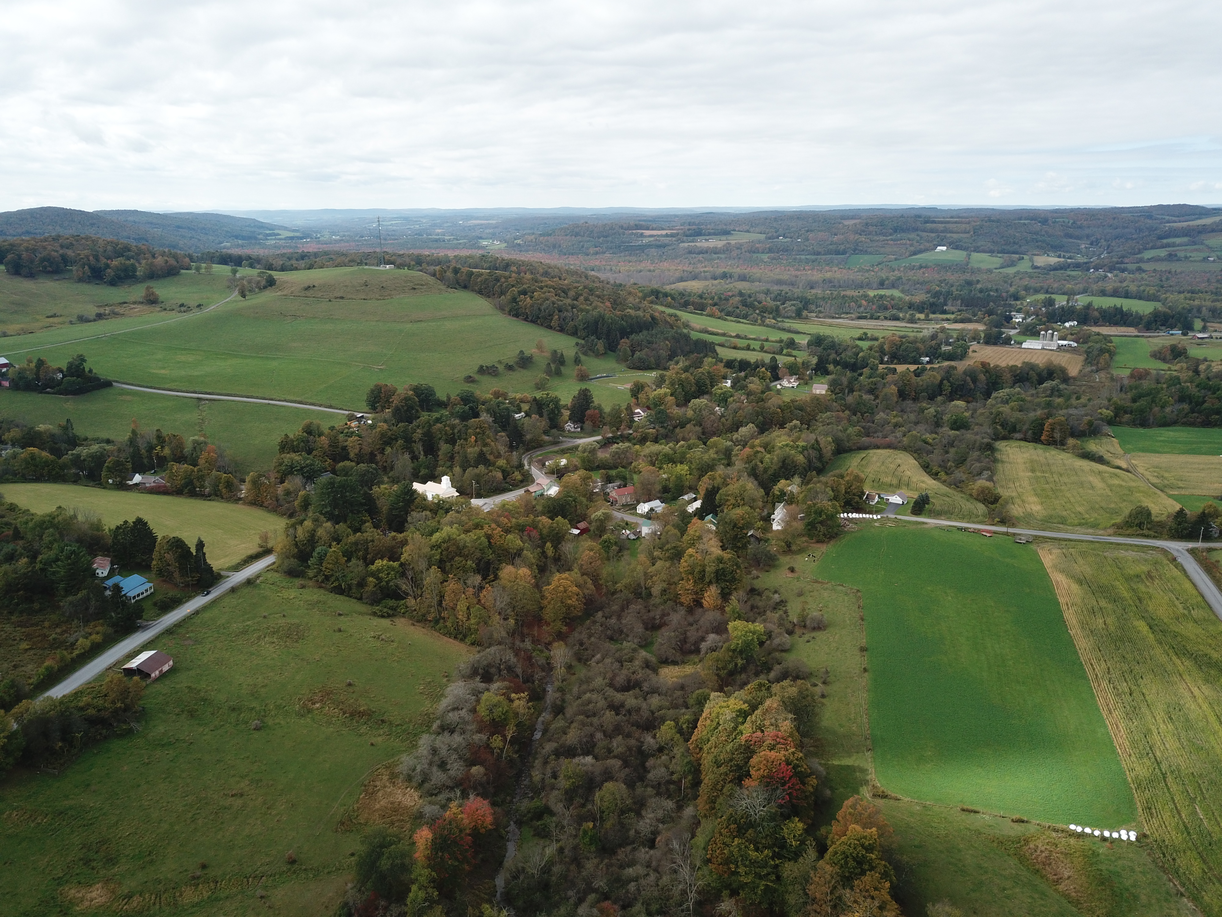
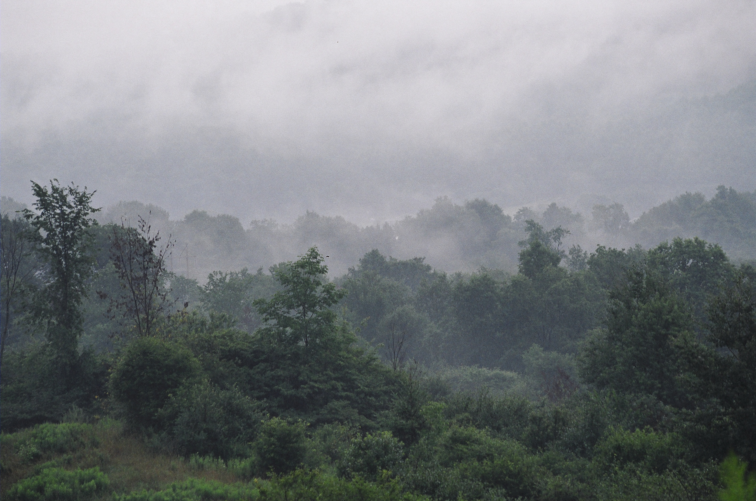
Early fall, in central N.Y. State.
Heading Back

Black berry blossoms natural color
Topographic Map of Hoxie Rd, West Edmeston, NY, USA
Find elevation by address:

Places near Hoxie Rd, West Edmeston, NY, USA:
West Edmeston
Welch Rd, West Edmeston, NY, USA
County Rd 41, New Berlin, NY, USA
NY-8, Columbus, NY, USA
Brookfield
4937 County Hwy 18
4937 County Hwy 18
8213 Bailey Lake Rd
9630 Us-20
Bridgewater
1417 County Rd 24
Skaneateles Turnpike, Hubbardsville, NY, USA
Sears Pond Road
1664 Ny-12
Gorton Lake Rd, Waterville, NY, USA
Hubbardsville
1601 Humphrey Rd
941 Ny-12
7543 Chappel Rd
Hamilton
Recent Searches:
- Elevation of Estates Loop, Priest River, ID, USA
- Elevation of Woodland Oak Pl, Thousand Oaks, CA, USA
- Elevation of Brownsdale Rd, Renfrew, PA, USA
- Elevation of Corcoran Ln, Suffolk, VA, USA
- Elevation of Mamala II, Sariaya, Quezon, Philippines
- Elevation of Sarangdanda, Nepal
- Elevation of 7 Waterfall Way, Tomball, TX, USA
- Elevation of SW 57th Ave, Portland, OR, USA
- Elevation of Crocker Dr, Vacaville, CA, USA
- Elevation of Pu Ngaol Community Meeting Hall, HWHM+3X7, Krong Saen Monourom, Cambodia