Elevation of Howards Gulch Campground, Canby, CA, United States
Location: United States > California > Modoc County > Canby >
Longitude: -120.96996
Latitude: 41.4854446
Elevation: 1459m / 4787feet
Barometric Pressure: 85KPa
Elevation Map:
Satellite Map:
Related Photos:
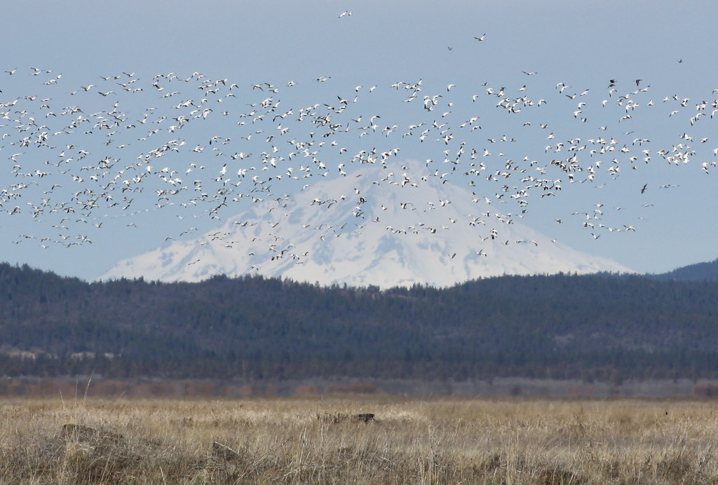
Snow & Ross's Geese and Mount Shasta
Topographic Map of Howards Gulch Campground, Canby, CA, United States
Find elevation by address:

Places near Howards Gulch Campground, Canby, CA, United States:
101 Willow St
Adin
665-750
665-275
Tionesta
Bridge St, Bieber, CA, USA
Bieber
652-890
Lava Beds National Monument Road
Day Rd, McArthur, CA, USA
Co Rd, Tulelake, CA, USA
545 Templehof Ln
Newell
Pittville Rd, McArthur, CA, USA
CA-, Tulelake, CA, USA
Indian Well Campground Trail
Lava Beds National Monument
CA-, Tulelake, CA, USA
Ahjumawi Lava Springs State Park
Mcarthur
Recent Searches:
- Elevation of Corso Fratelli Cairoli, 35, Macerata MC, Italy
- Elevation of Tallevast Rd, Sarasota, FL, USA
- Elevation of 4th St E, Sonoma, CA, USA
- Elevation of Black Hollow Rd, Pennsdale, PA, USA
- Elevation of Oakland Ave, Williamsport, PA, USA
- Elevation of Pedrógão Grande, Portugal
- Elevation of Klee Dr, Martinsburg, WV, USA
- Elevation of Via Roma, Pieranica CR, Italy
- Elevation of Tavkvetili Mountain, Georgia
- Elevation of Hartfords Bluff Cir, Mt Pleasant, SC, USA