Elevation map of Hoshangabad, Madhya Pradesh, India
Location: India > Madhya Pradesh >
Longitude: 78.0195387
Latitude: 22.6446788
Elevation: 338m / 1109feet
Barometric Pressure: 97KPa
Elevation Map:
Satellite Map:
Related Photos:
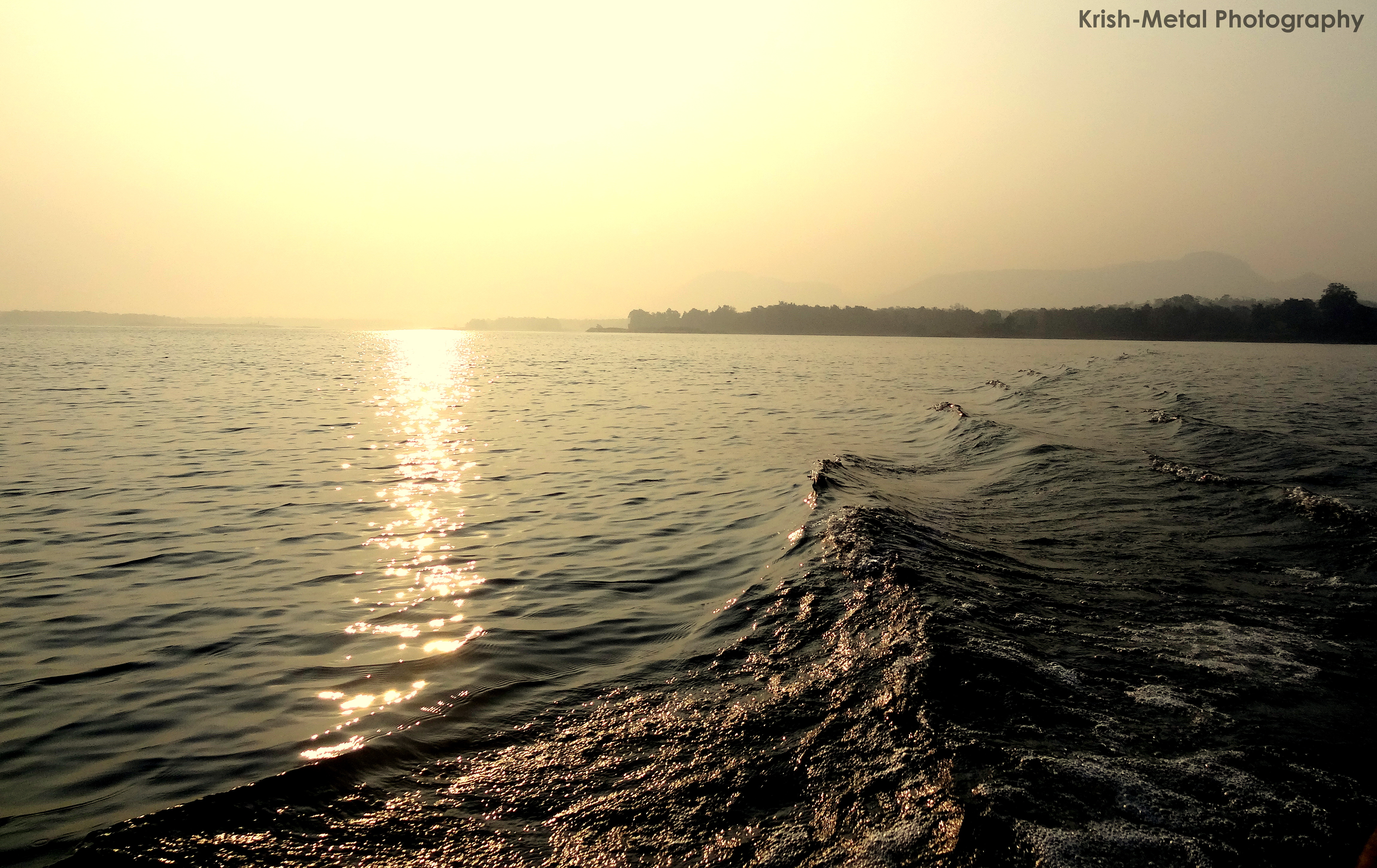
The sea never lies calm

India, 24h train ride

Indian Roller
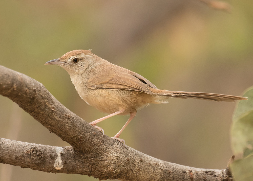
Rufous-fronted Prinia
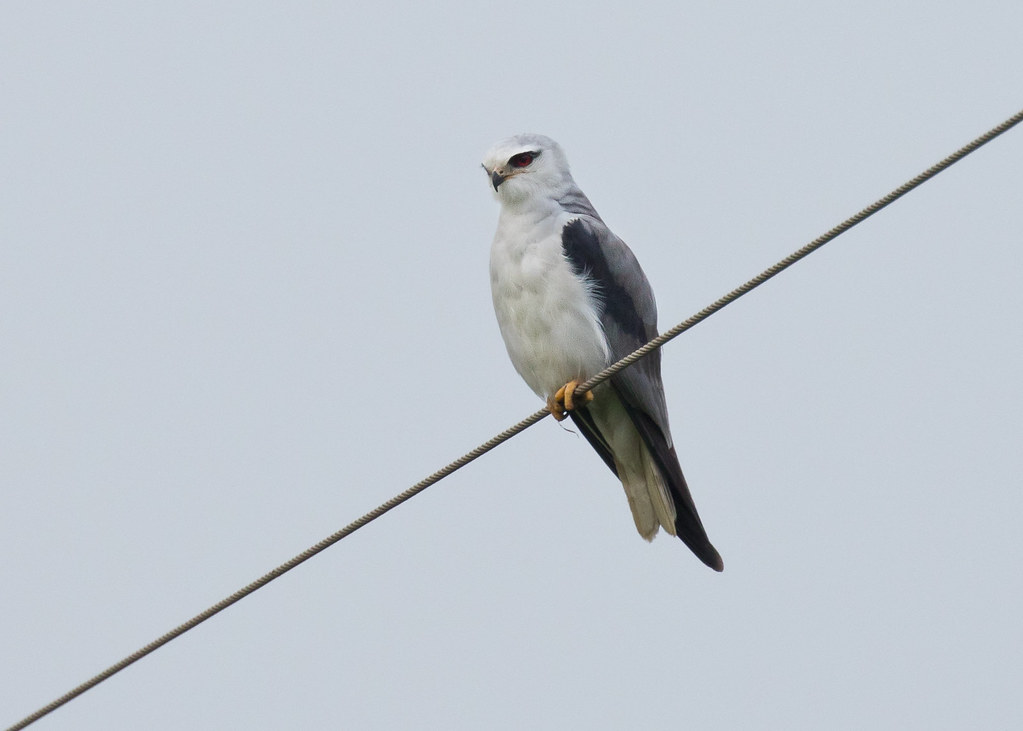
Black-winged Kite
Long-tailed Shrike
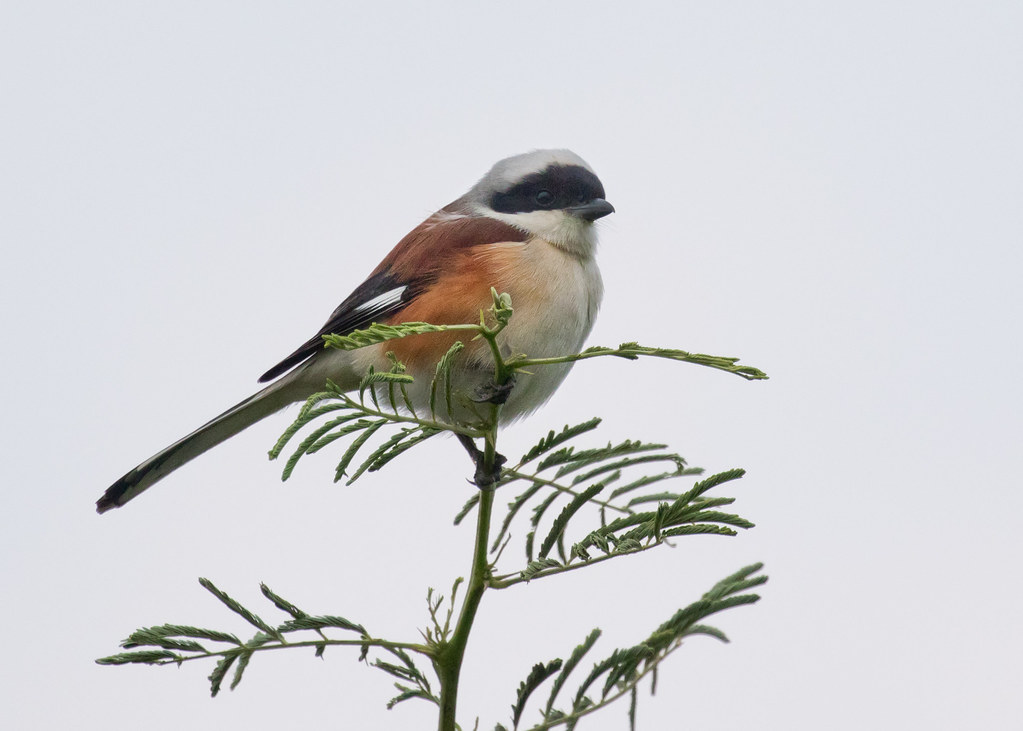
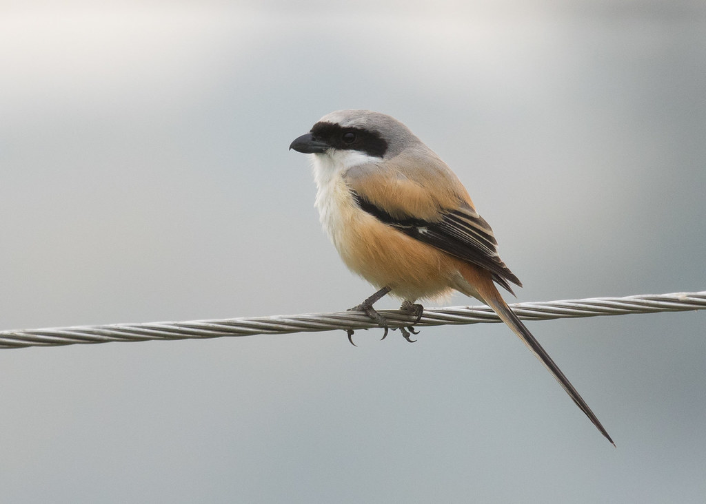
Bay-backed Shrike

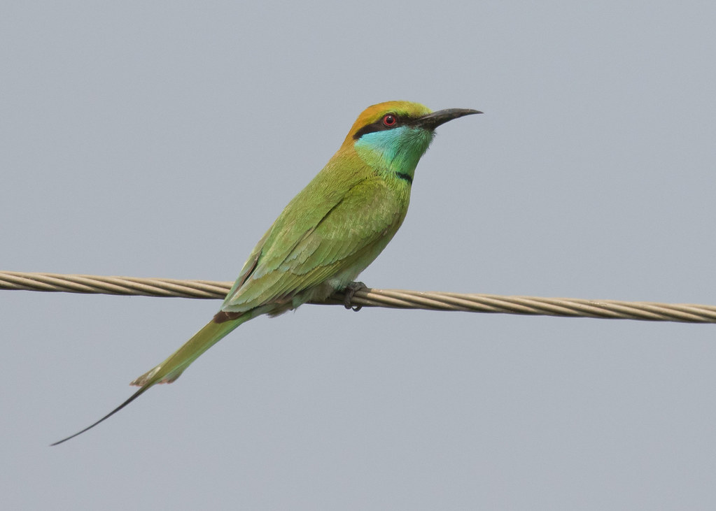
Green Bee-eater

Indian Roller
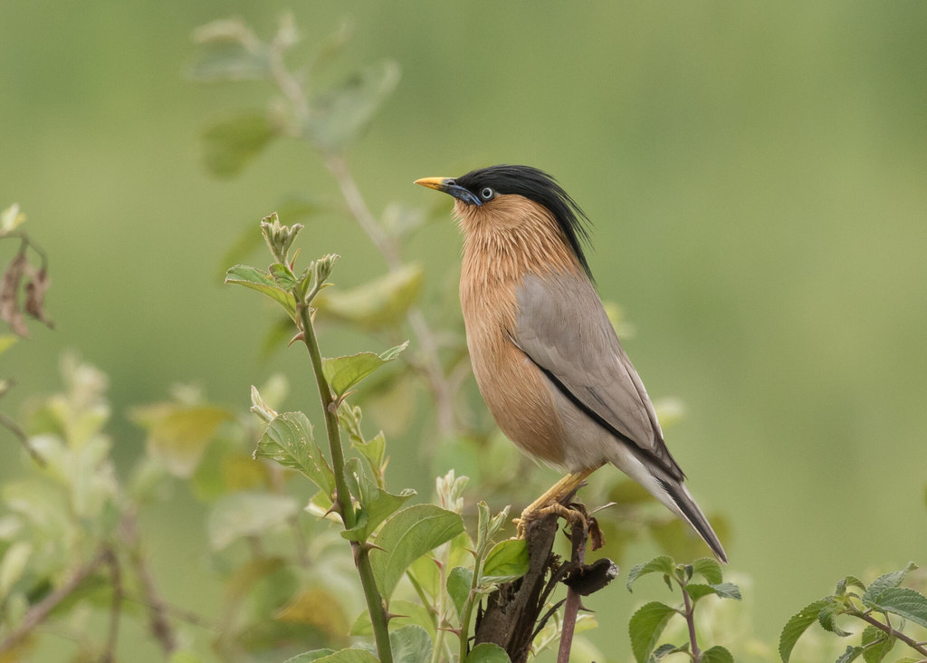
Brahminy Starling
Green Bee-eater

Common Babbler
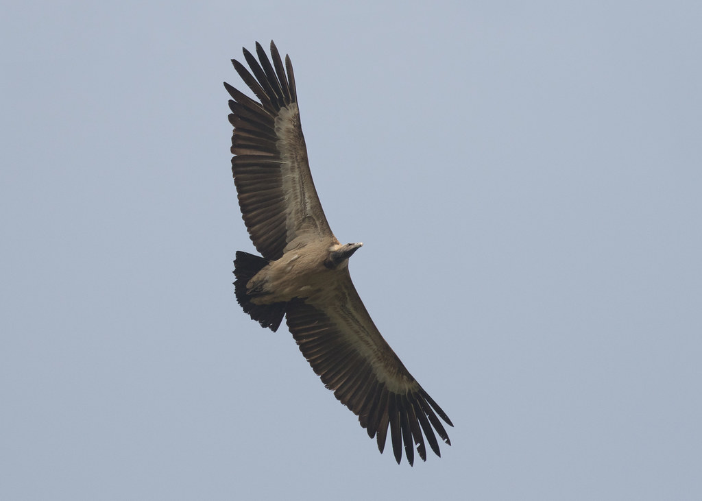
Indian Vulture
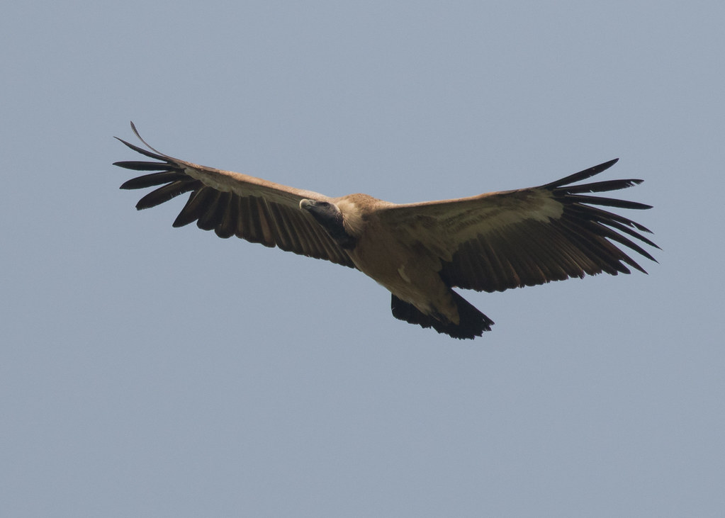
Indian Vulture
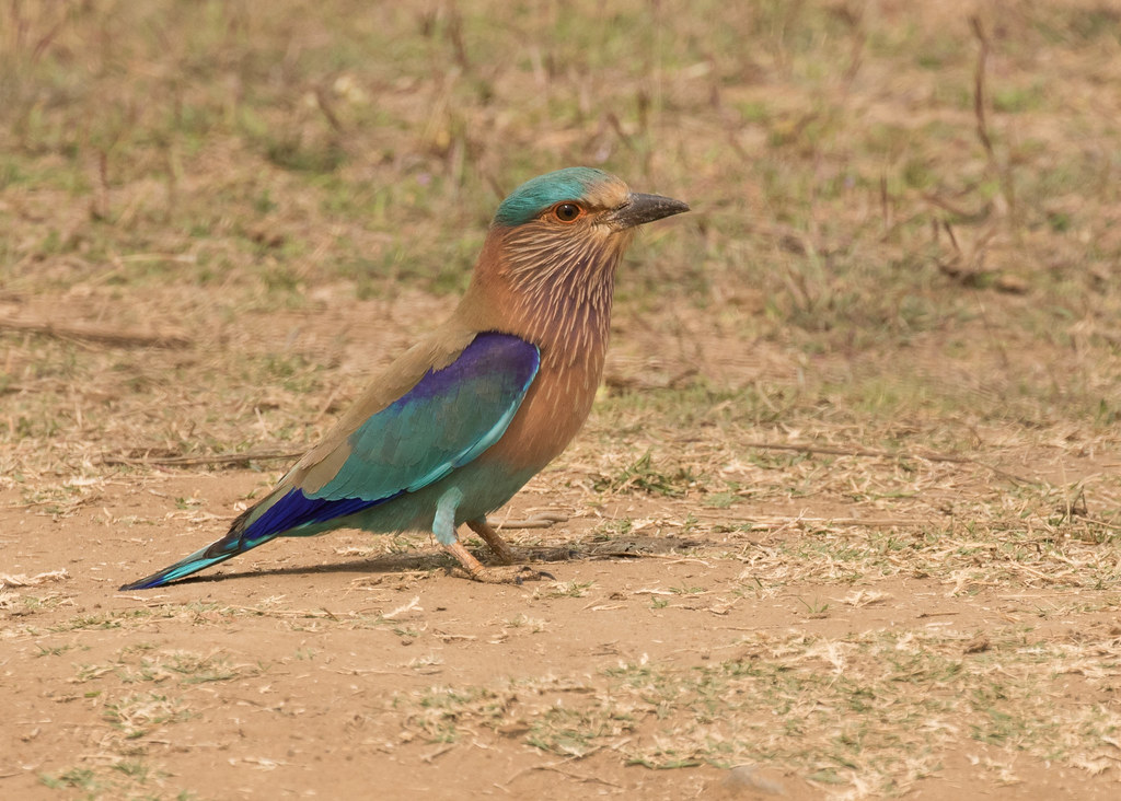
Indian Roller
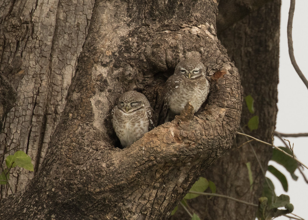
Spotted Owlets
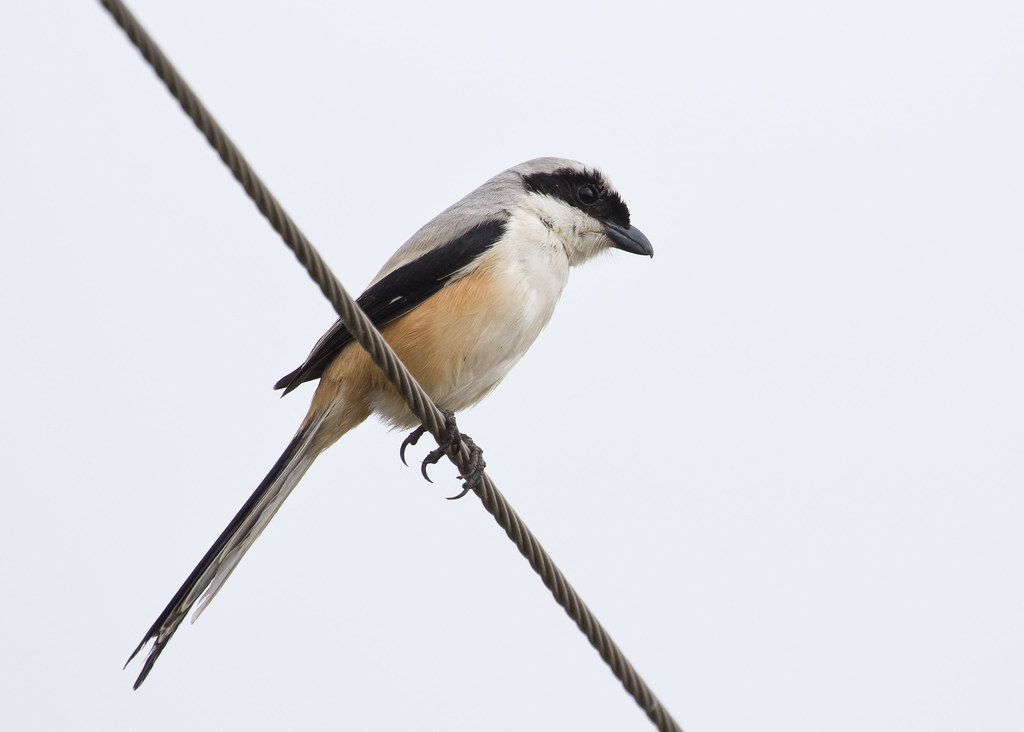
Long-tailed Shrike

Common Kingfisher

Indian Pond Heron
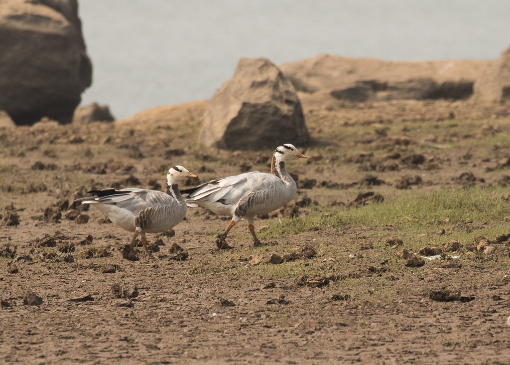
Bar-headed Geese
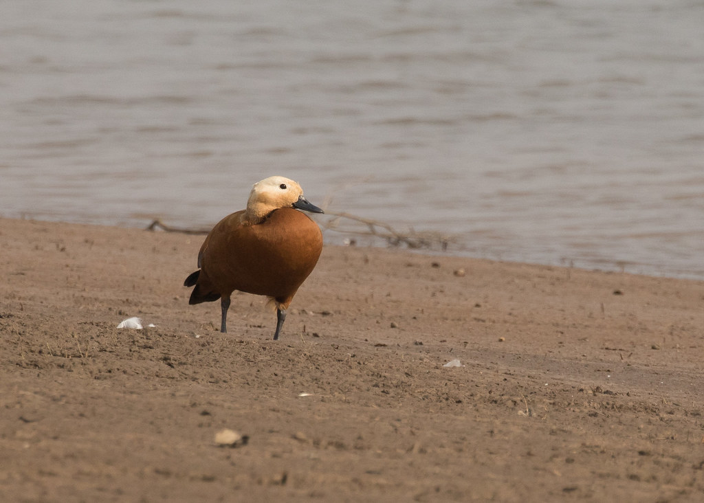
Ruddy Shelduck

Small Pratincole
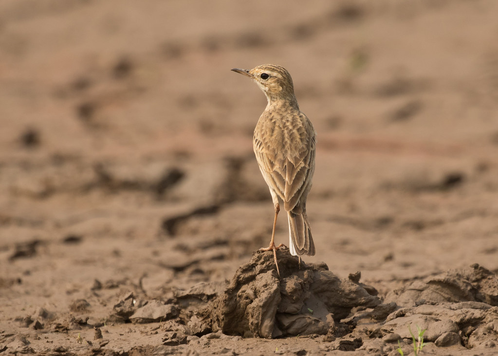
Paddyfield Pipit
Topographic Map of Hoshangabad, Madhya Pradesh, India
Find elevation by address:

Places in Hoshangabad, Madhya Pradesh, India:
Places near Hoshangabad, Madhya Pradesh, India:
Reni Pani Jungle Lodge
Sohagpur
Itarsi
Hoshangabad
Pipariya
Dolaria
Shivni
Matkuli
Raisen
Betwa River
Kanora
Sector B
Vidya Nagar, Mandideep, Bhopal, Madhya Pradesh, India
Mandideep
Madhya Pradesh
Raisen
Panjara
Chaddar
Lower Lake
Bhopal
Recent Searches:
- Elevation of Tater Hill, Oklahoma, USA
- Elevation of NY-, Friendship, NY, USA
- Elevation of 64 Danakas Dr, Winnipeg, MB R2C 5N7, Canada
- Elevation of 4 Vale Rd, Sheffield S3 9QX, UK
- Elevation of Keene Point Drive, Keene Point Dr, Grant, AL, USA
- Elevation of State St, Zanesville, OH, USA
- Elevation of Austin Stone Dr, Haslet, TX, USA
- Elevation of Bydgoszcz, Poland
- Elevation of Bydgoszcz, Poland
- Elevation of Calais Dr, Del Mar, CA, USA