Elevation of Horseshoe Bend, ID, USA
Location: United States > Idaho > Boise County >
Longitude: -116.19790
Latitude: 43.9146123
Elevation: 800m / 2625feet
Barometric Pressure: 92KPa
Elevation Map:
Satellite Map:
Related Photos:
Nightscape Panorama
Horseshoe Bend panoLRwm
Squaw Butte from the air
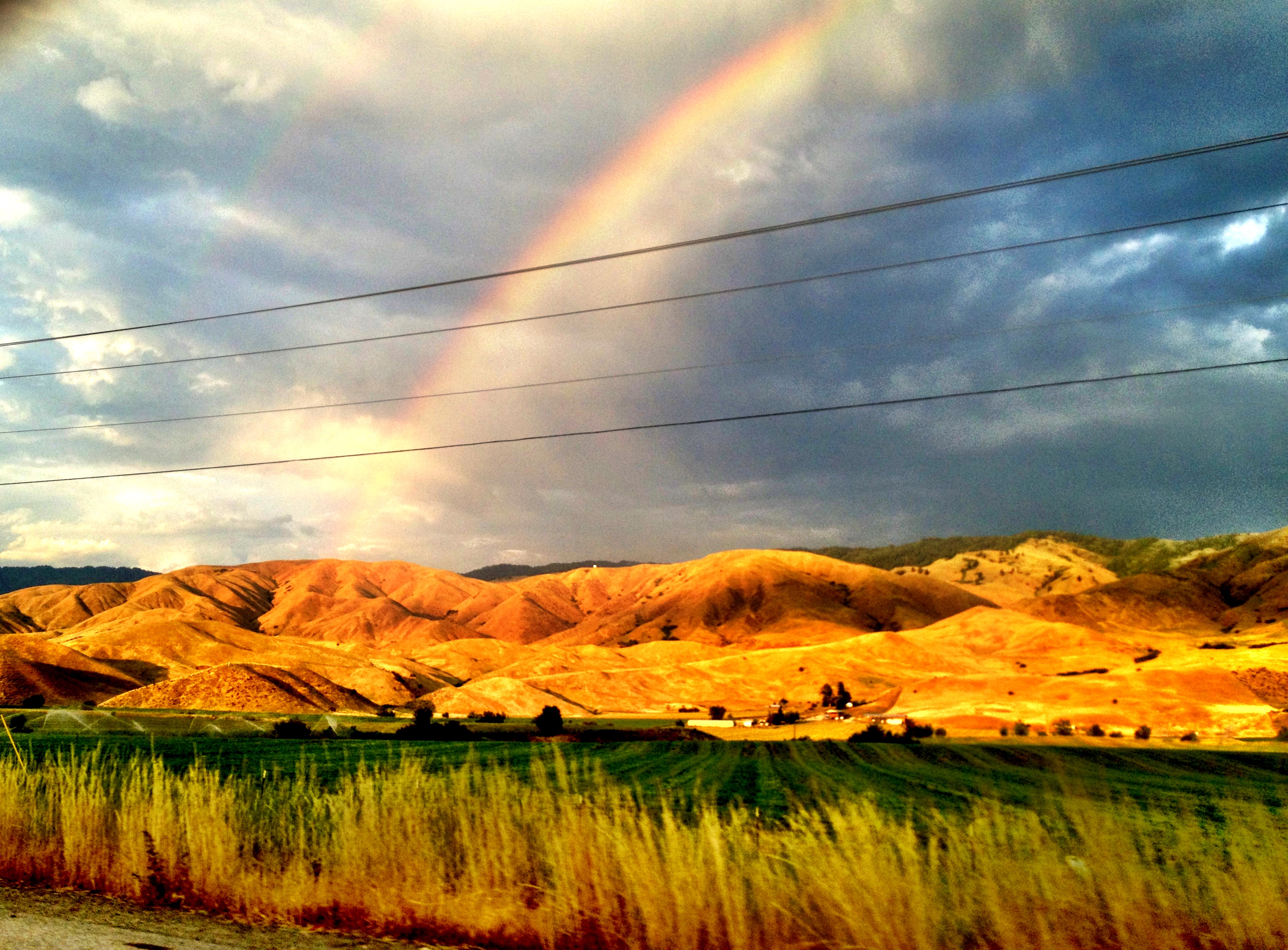
The Heavens Opening
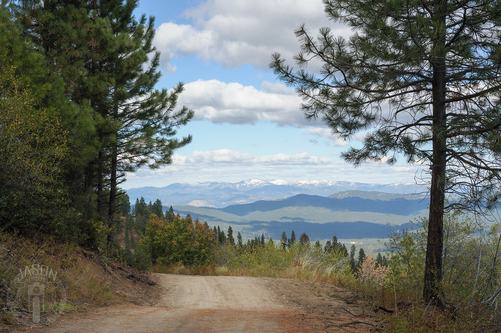
Ridge all the way
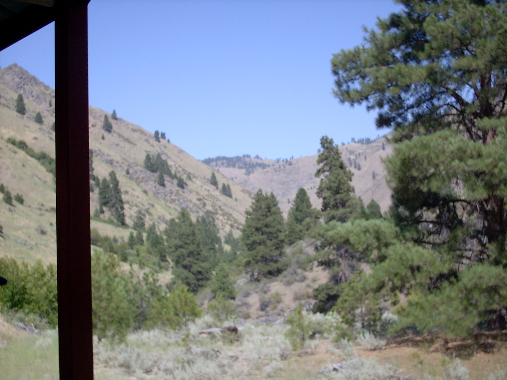
View from train
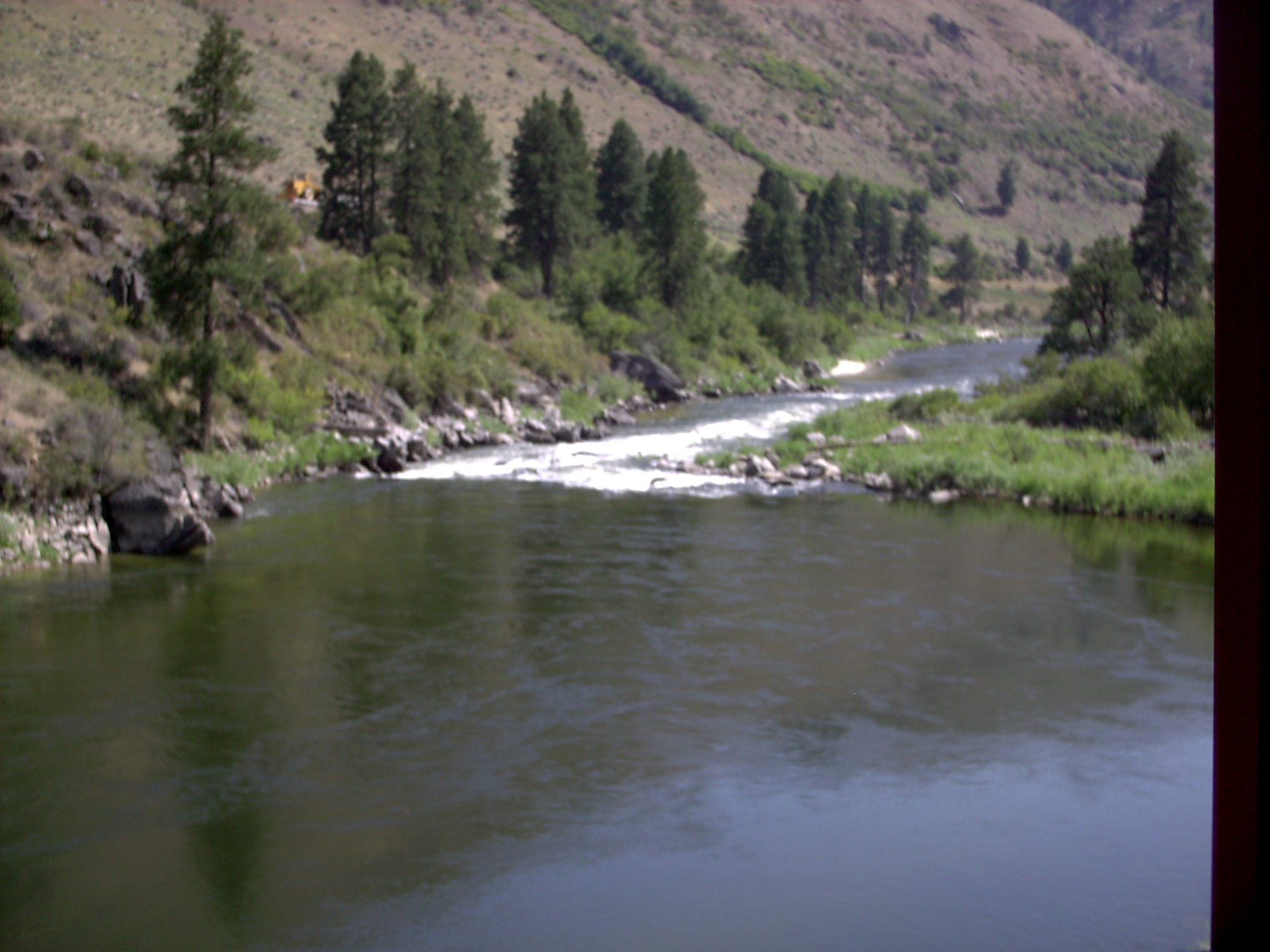
River view from train

Sugarloaf Rock

Reasons to shoot at sunrise

Duck Lake, June 2013

scenery valley county

Duck Lake, June 2013

scenery valley county

scenery valley county

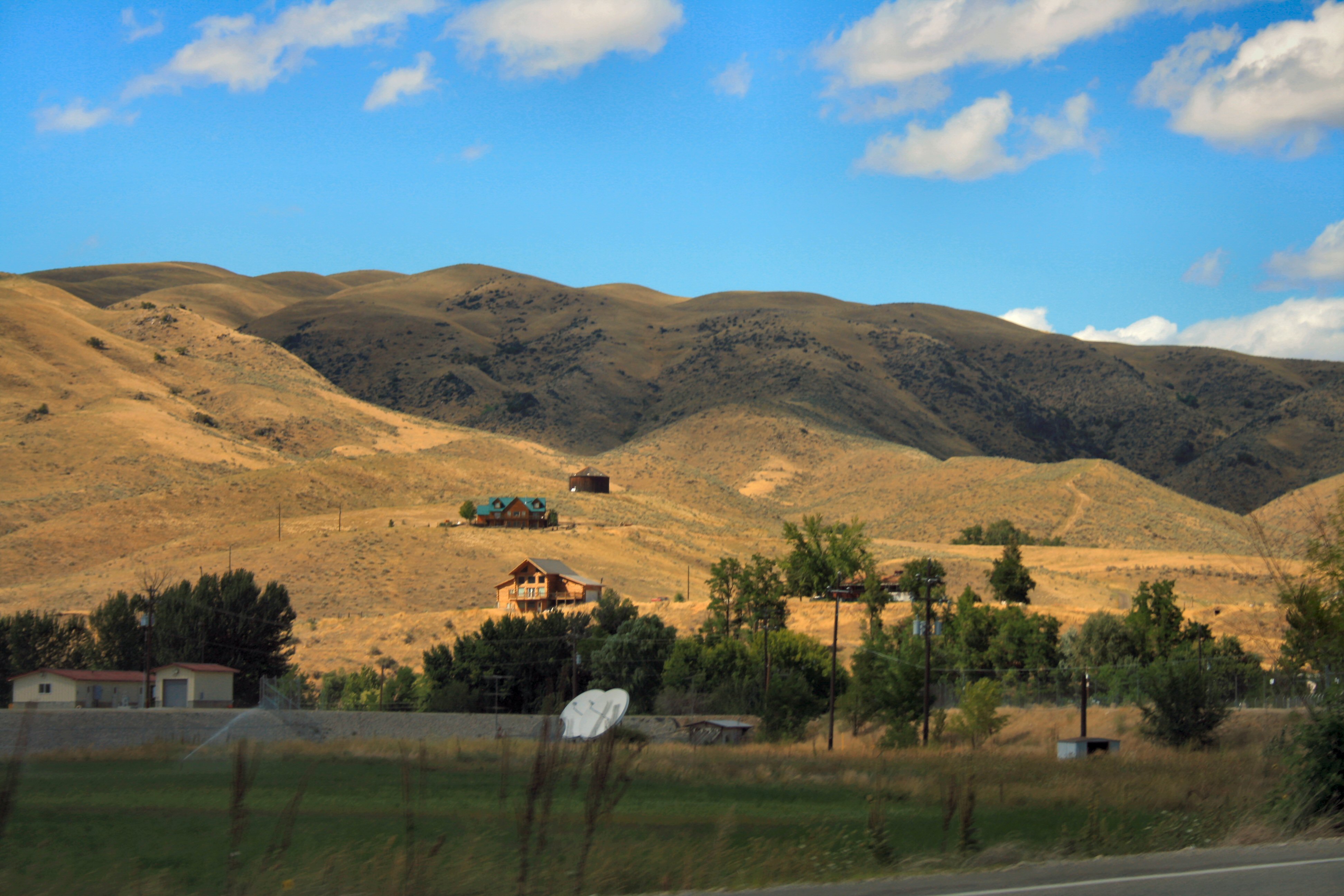
Horseshoe Bend, Idaho
Well Boise it's been real. Off to the wilderness.
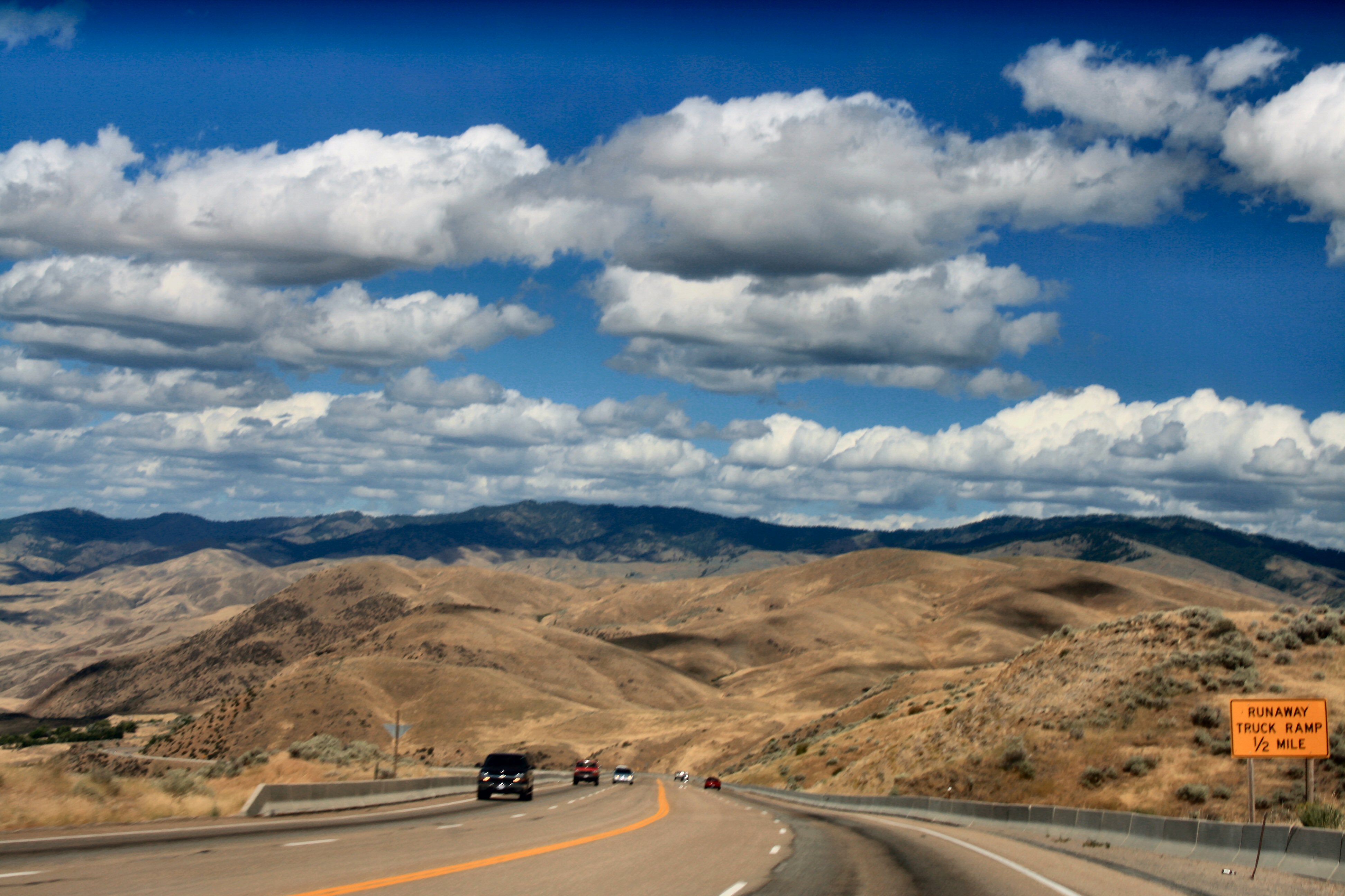
Route 55
20090923-_MG_0491

horseshoe bend hill

2011-01-23_17-47-21_457
Shadows Grow Long

20090922-_MG_0415-20-pan
20090923-_MG_0498-01-pan
Route 55
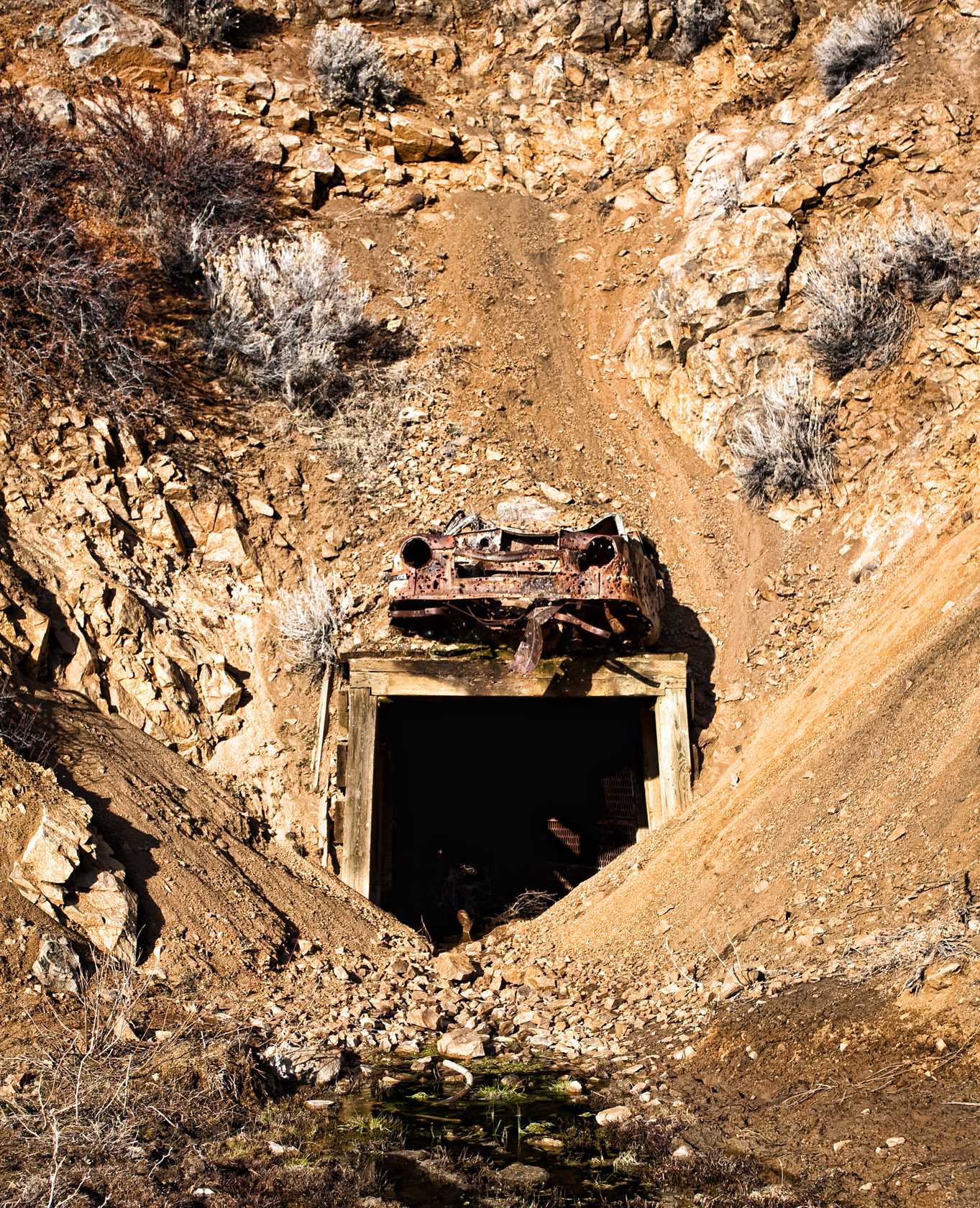
Mine Shaft in Pearl, Idaho
Topographic Map of Horseshoe Bend, ID, USA
Find elevation by address:

Places in Horseshoe Bend, ID, USA:
6th St, Horseshoe Bend, ID, USA
Bogus Basin
Dovetail Drive
Jackass Creek Road
Porter Creek Road
Saddlenotch Drive
Outlaw Trail
Summit Ridge Road
Outlaw Trail
Outlaw Trail
Payette River Avenue
Outlaw Trail
Harris Creek Road
Harris Creek Road
Harris Creek Road
Places near Horseshoe Bend, ID, USA:
6th St, Horseshoe Bend, ID, USA
Saddlenotch Drive
Dovetail Drive
Payette River Avenue
344 Id-55
3 Jackass Creek Rd
3 Jackass Creek Rd
3 Jackass Creek Rd
Jackass Creek Road
35 Lorraine Ln
2 Solar Ct
36 Sunburst Rd #24
36 Sunburst Rd
Summit Ridge Road
2 Summit Ridge Rd
Ramptek
Harris Creek Road
Harris Creek Road
Harris Creek Road
West Old Ranch Street
Recent Searches:
- Elevation of Congressional Dr, Stevensville, MD, USA
- Elevation of Bellview Rd, McLean, VA, USA
- Elevation of Stage Island Rd, Chatham, MA, USA
- Elevation of Shibuya Scramble Crossing, 21 Udagawacho, Shibuya City, Tokyo -, Japan
- Elevation of Jadagoniai, Kaunas District Municipality, Lithuania
- Elevation of Pagonija rock, Kranto 7-oji g. 8"N, Kaunas, Lithuania
- Elevation of Co Rd 87, Jamestown, CO, USA
- Elevation of Tenjo, Cundinamarca, Colombia
- Elevation of Côte-des-Neiges, Montreal, QC H4A 3J6, Canada
- Elevation of Bobcat Dr, Helena, MT, USA