Elevation of Horseshoe Bend, AR, USA
Location: United States > Arkansas > Izard County > Jefferson Township >
Longitude: -91.764312
Latitude: 36.2292338
Elevation: 266m / 873feet
Barometric Pressure: 98KPa
Elevation Map:
Satellite Map:
Related Photos:
Arkansas02.jpg

Montana, Me and Willie

Tyrannosaurus Rex + Velociraptor

You're welcome!
Road to WBC

Let's Take A Long Drive Into The Sunset...

TrudyFamilyChristmas.jpg
Arkansas01.jpg
AR Sharp CH- Ash Flat (2)
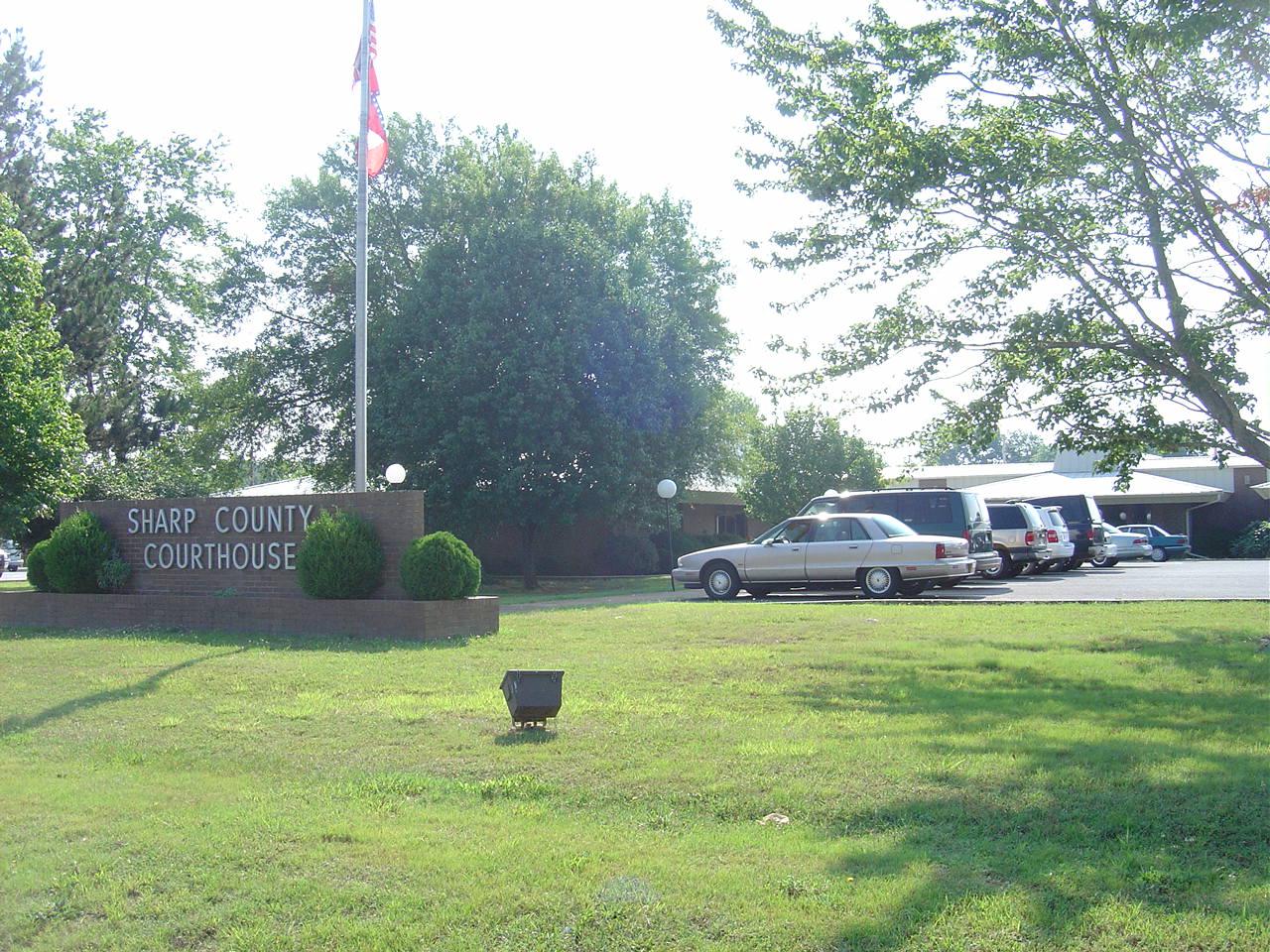
AR Sharp CH- Ash Flat

Smokey II

Smokey I

Smokey III
Topographic Map of Horseshoe Bend, AR, USA
Find elevation by address:

Places in Horseshoe Bend, AR, USA:
Places near Horseshoe Bend, AR, USA:
1309 Scenic Acres Dr
2314 Morriston Rd
Baker Township
Wiseman
Strawberry Township
Cardinal Rd, Salem, AR, USA
4557-4661 Whipporwill Rd
4557-4661 Whipporwill Rd
3222 W Fairview Rd
3222 W Fairview Rd
3222 W Fairview Rd
3222 W Fairview Rd
3222 W Fairview Rd
3222 W Fairview Rd
3222 W Fairview Rd
284 Eagle Spring Trail
Fulton County
Salem
W Church St, Salem, AR, USA
Pilot Hill Drive
Recent Searches:
- Elevation of N, Mt Pleasant, UT, USA
- Elevation of 6 Rue Jules Ferry, Beausoleil, France
- Elevation of Sattva Horizon, 4JC6+G9P, Vinayak Nagar, Kattigenahalli, Bengaluru, Karnataka, India
- Elevation of Great Brook Sports, Gold Star Hwy, Groton, CT, USA
- Elevation of 10 Mountain Laurels Dr, Nashua, NH, USA
- Elevation of 16 Gilboa Ln, Nashua, NH, USA
- Elevation of Laurel Rd, Townsend, TN, USA
- Elevation of 3 Nestling Wood Dr, Long Valley, NJ, USA
- Elevation of Ilungu, Tanzania
- Elevation of Yellow Springs Road, Yellow Springs Rd, Chester Springs, PA, USA