Elevation of Hopkins Ln, Orleans, MA, USA
Location: United States > Massachusetts > Barnstable County > Orleans Town > Orleans >
Longitude: -69.963213
Latitude: 41.792998
Elevation: 16m / 52feet
Barometric Pressure: 101KPa
Elevation Map:
Satellite Map:
Related Photos:
Sunrise Cape Cod - Massachusetts

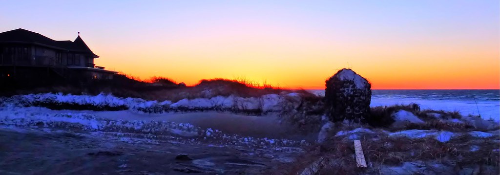
Fog With A Bit Of Color
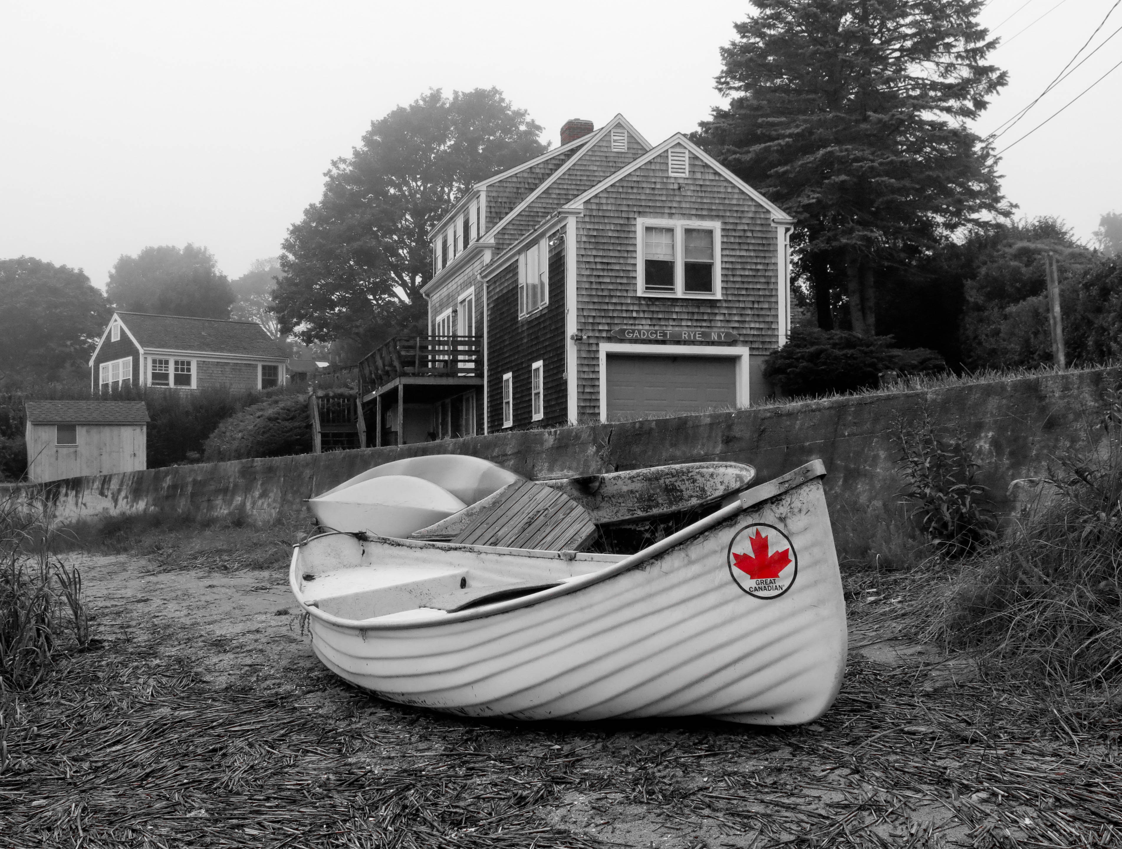
Beached Great Canadian

Coast Guard Station - landscape view
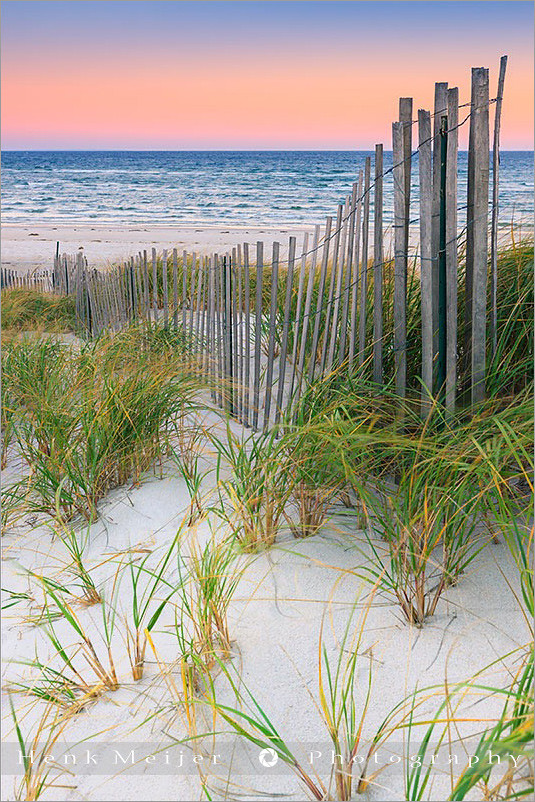
Linger By The Beach - Explored 3/6/13

Sunset View from the Chairs II
Linger View

Marsh View at Sunset

Beach View

Sunset By The Dunes
Linger By The Shore
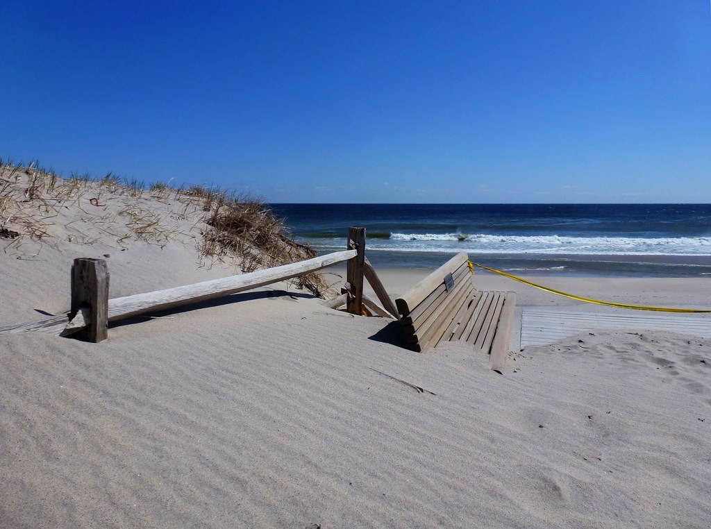
Sand Covered

View from the backyard

Sunset Beach View
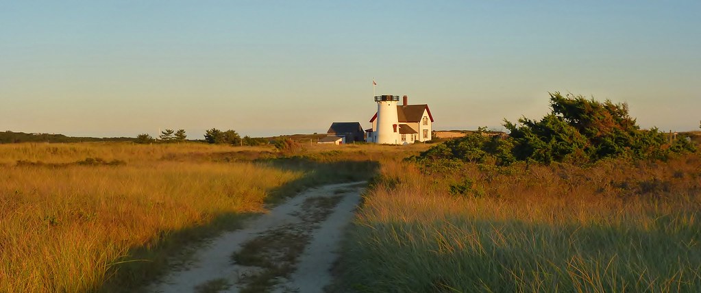
The Path to Stage Harbor Lighthouse
Rock Harbor View

6/19/13 - View from the House

Walk The Pier To The Fog

Storm Damage
Rock Harbor View
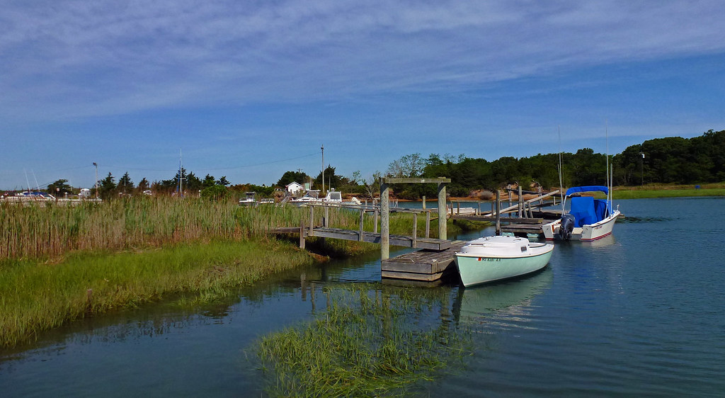
Stage Harbor Channel

Brewster Grist Mill Cape Cod

Winter Shoreline - Explored 3-5-13
Herring Run - Brewster
The Desolate Path to the Ocean

Gone Part I

Paines Creek

Rock Harbor - Orleans

Wellfleet Sunset

Trotting Down The Beach

Over the Horizon

Sunset Layers
Sunset Strip

Brewster Flats On A Sunny Day

Cape Cod
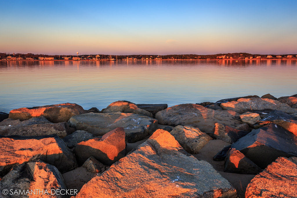
The Last Rays of Sun Hit the Rocks

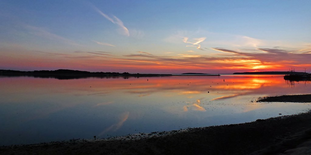
Sunset by The Rocks - Explored 3 - 2- 2013
Topographic Map of Hopkins Ln, Orleans, MA, USA
Find elevation by address:

Places near Hopkins Ln, Orleans, MA, USA:
123 Hopkins Ln
134 Hopkins Ln
74 Captain Curtis Way
11 Pine Needle Way
15 Pine Needle Way
Pineneedle Way
220 Tonset Rd
271 Tonset Rd
252 Brick Hill Rd
25 Prides Path
8 Settler's Trce
125 Mary Chase Rd
12 White Pines Dr
14 White Pines Dr
200 Pine Woods Rd
75 Fort Hill Rd
22 Freedom Trail
20 John Thomas Rd
42 Locust Rd
180 Country Ln
Recent Searches:
- Elevation of East W.T. Harris Boulevard, E W.T. Harris Blvd, Charlotte, NC, USA
- Elevation of West Sugar Creek, Charlotte, NC, USA
- Elevation of Wayland, NY, USA
- Elevation of Steadfast Ct, Daphne, AL, USA
- Elevation of Lagasgasan, X+CQH, Tiaong, Quezon, Philippines
- Elevation of Rojo Ct, Atascadero, CA, USA
- Elevation of Flagstaff Drive, Flagstaff Dr, North Carolina, USA
- Elevation of Avery Ln, Lakeland, FL, USA
- Elevation of Woolwine, VA, USA
- Elevation of Lumagwas Diversified Farmers Multi-Purpose Cooperative, Lumagwas, Adtuyon, RV32+MH7, Pangantucan, Bukidnon, Philippines