Elevation of Hopkins Lane, Hopkins Ln, Becket, MA, USA
Location: United States > Massachusetts > Berkshire County > Becket >
Longitude: -73.045151
Latitude: 42.289043
Elevation: 413m / 1355feet
Barometric Pressure: 96KPa
Elevation Map:
Satellite Map:
Related Photos:
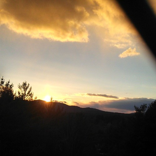
So much for Buy Nothing day... #mayernik40 // getting ready for a long run & realized I didn't pack a base layer. Of course my hometown has an underarmour outlet... let's pretend this view wasn't from the outlets. #berkshires
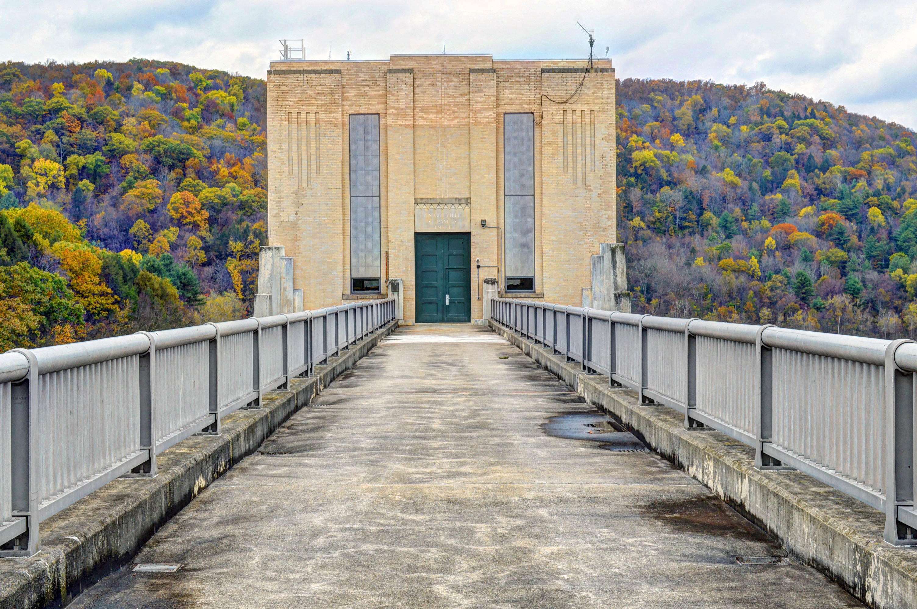
Knightville Dam
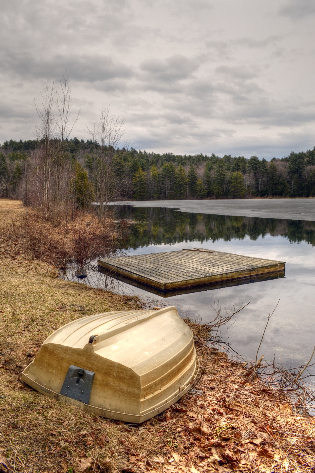
Steadman Pond in Early Spring
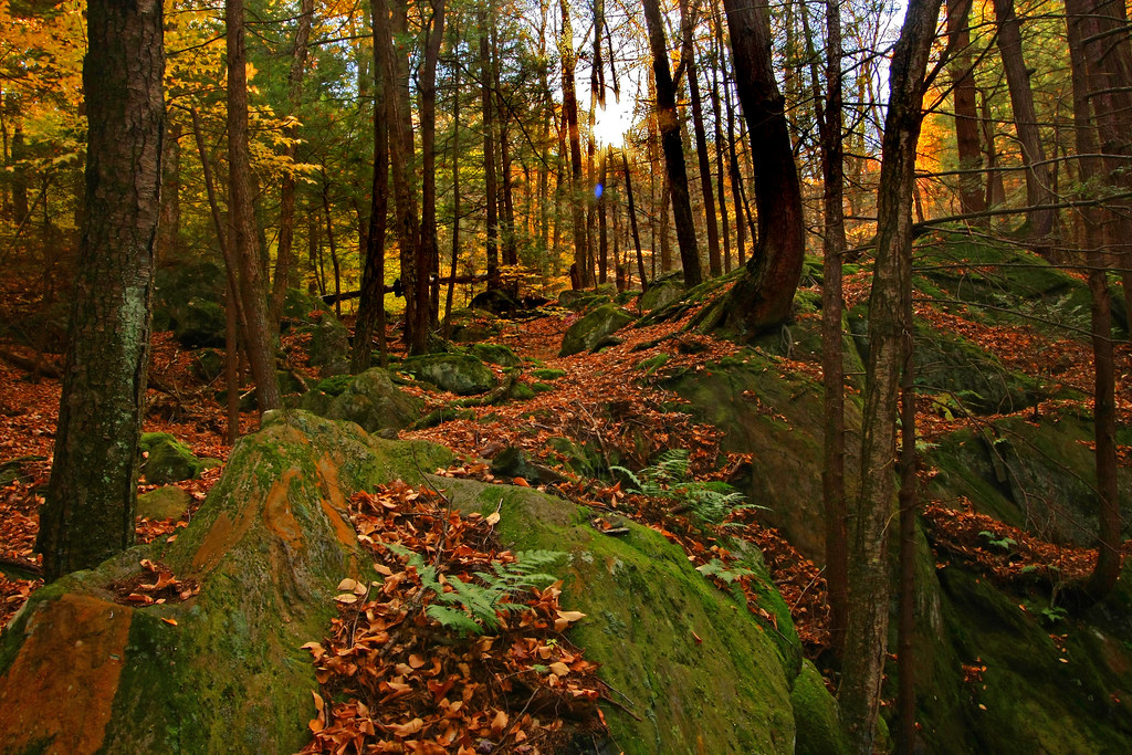
Climb toward the Sun
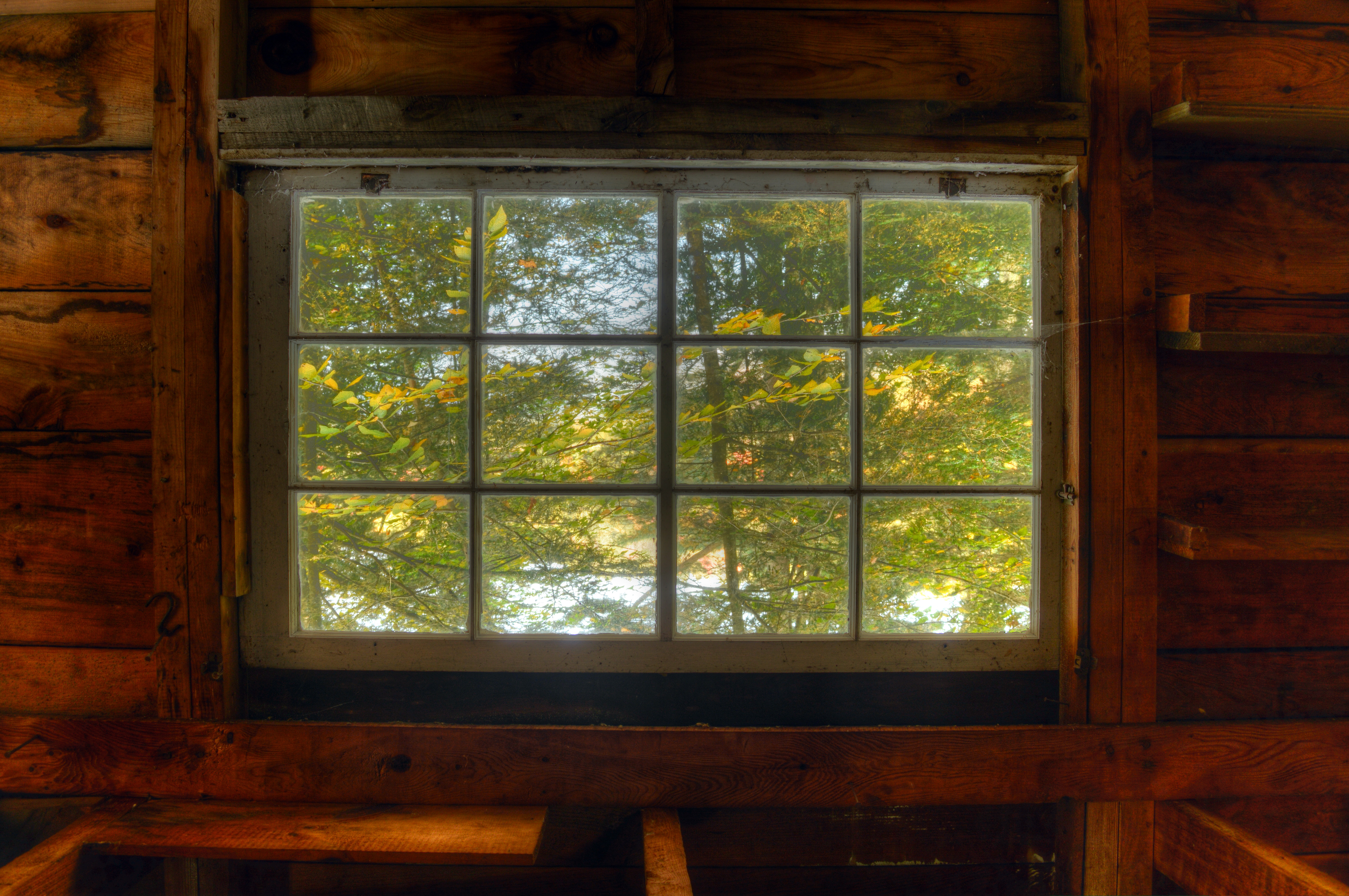
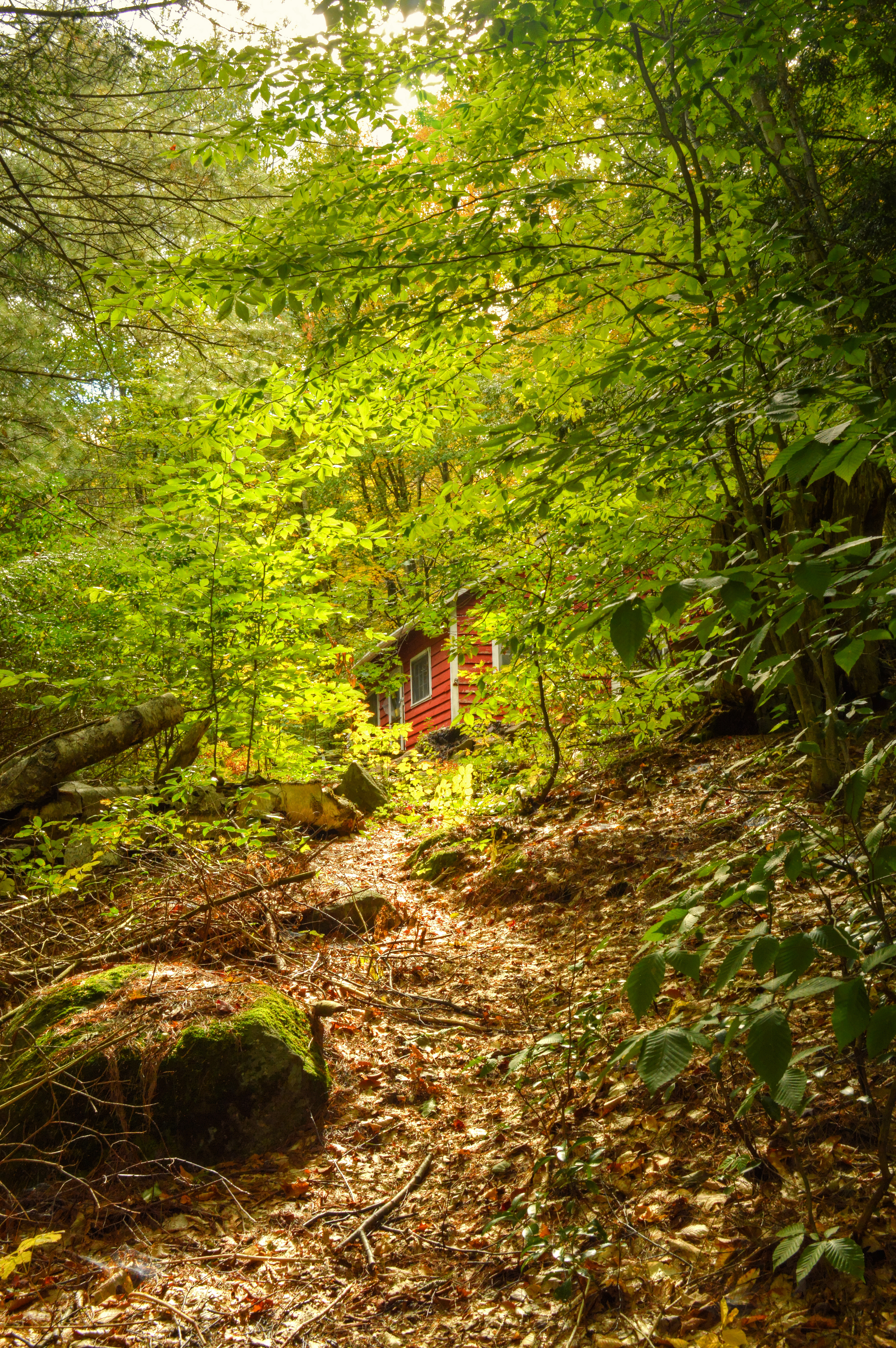
Camp Window in Autumn
View from car as we headed toward the MA/NY/CT border
Woodland Pool
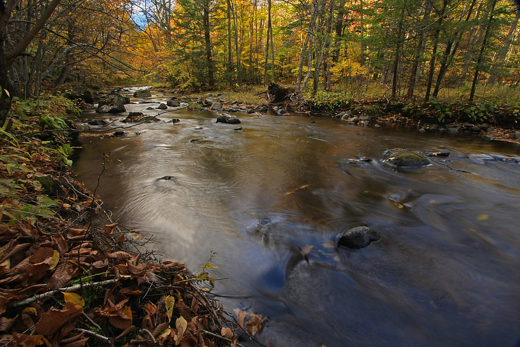
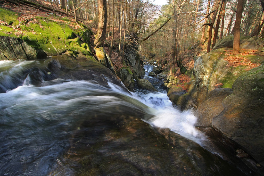
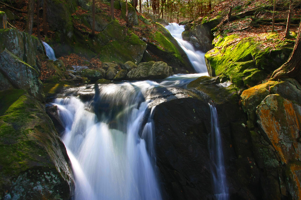
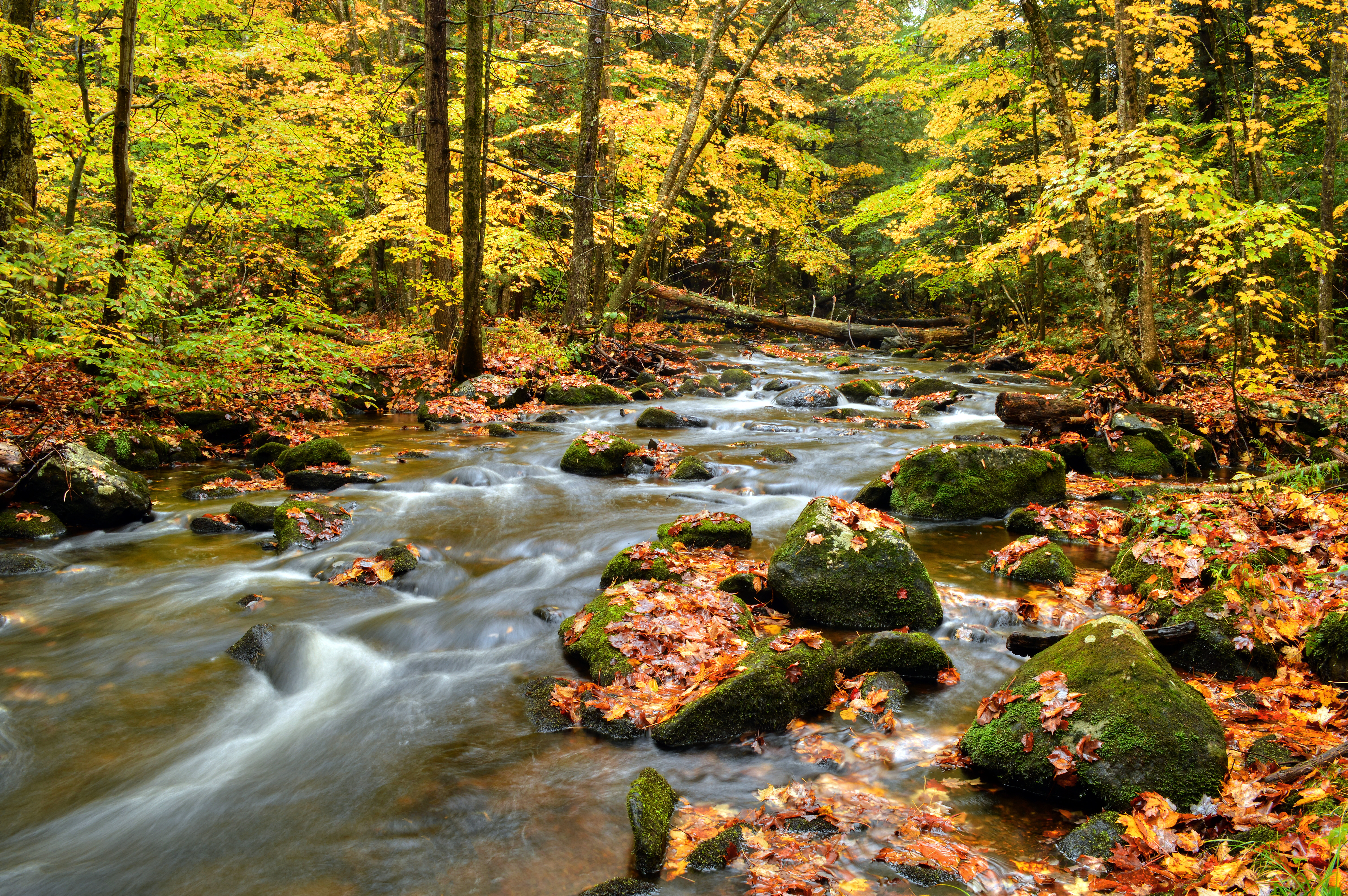
The Soothing Flow of a Woodland Stream

Spring Runoff
The Point of No Return
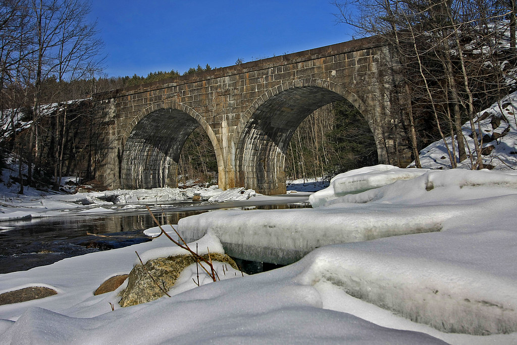
Double Arch
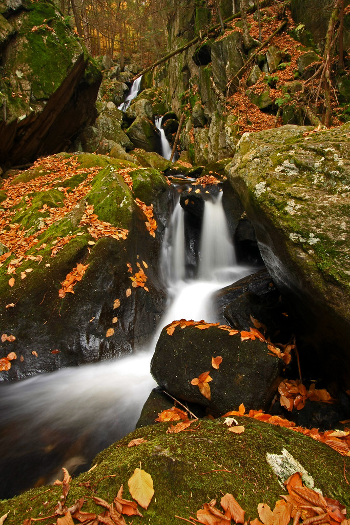
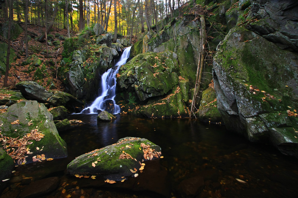
Tumble, Tumble
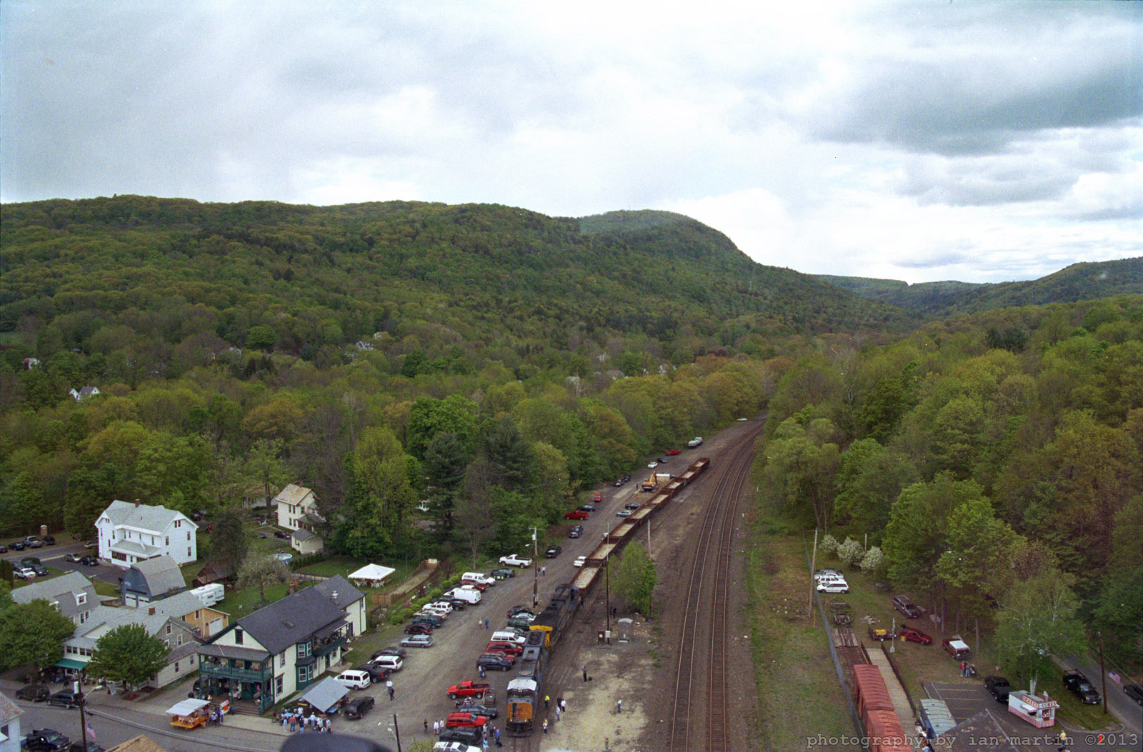
Aerial View

Always Seek the Blue Skies

Zig Zag

Crystal Waters
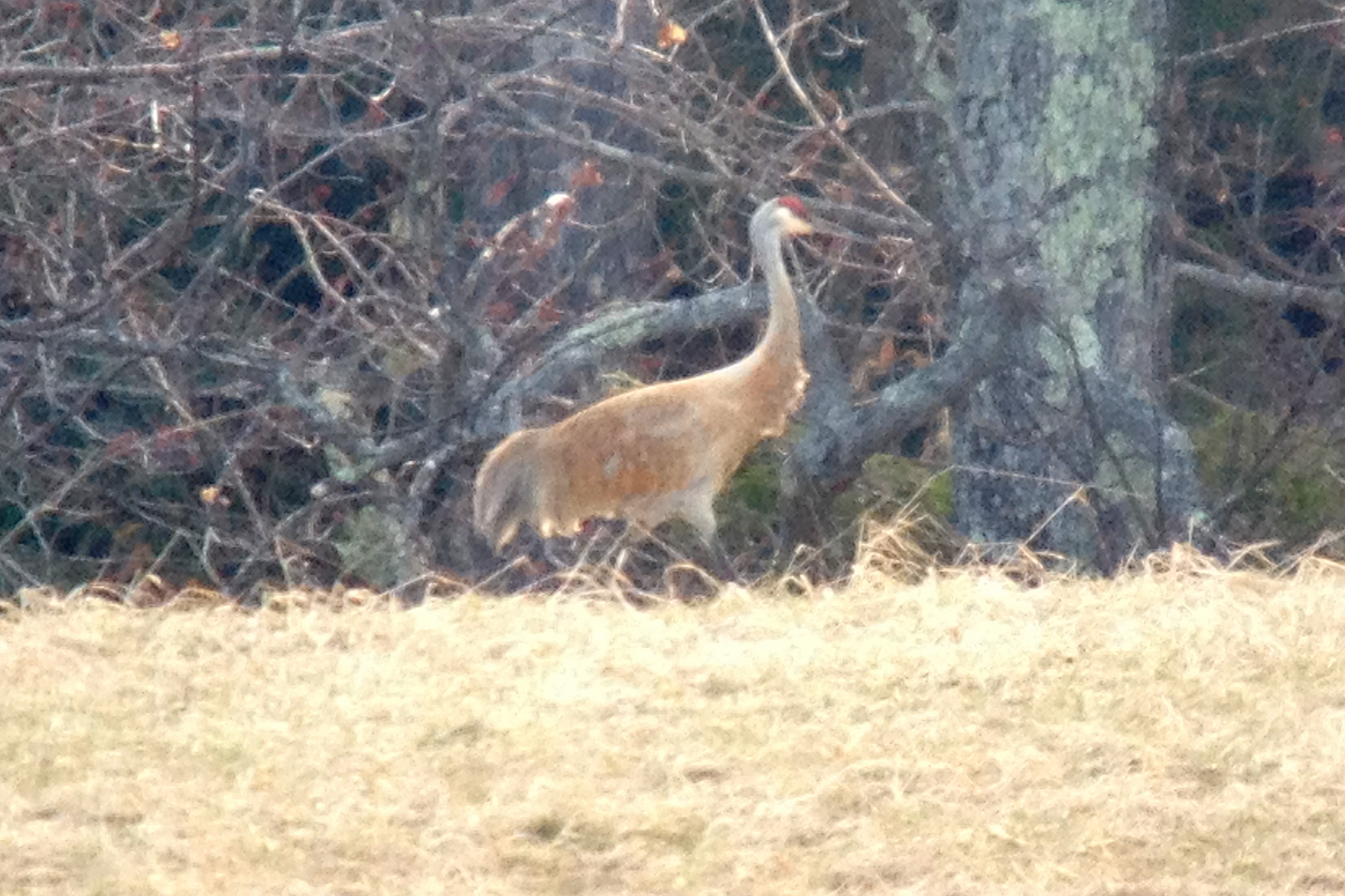
Sandhill Crane
A Touch of Green
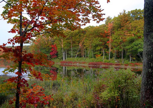
Tinge of Red
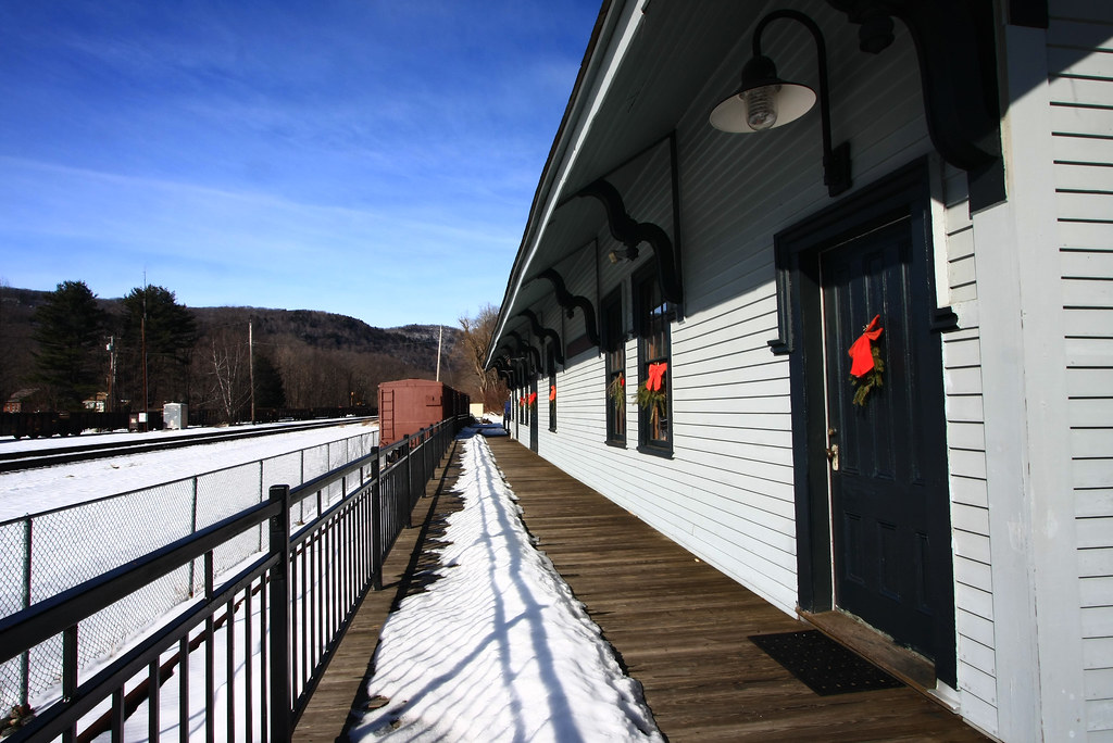
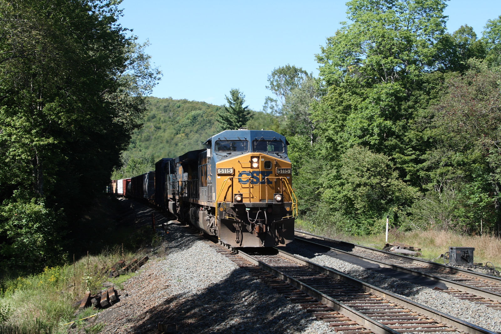
Chester Railway Station
Elevated View

Quarries Aura
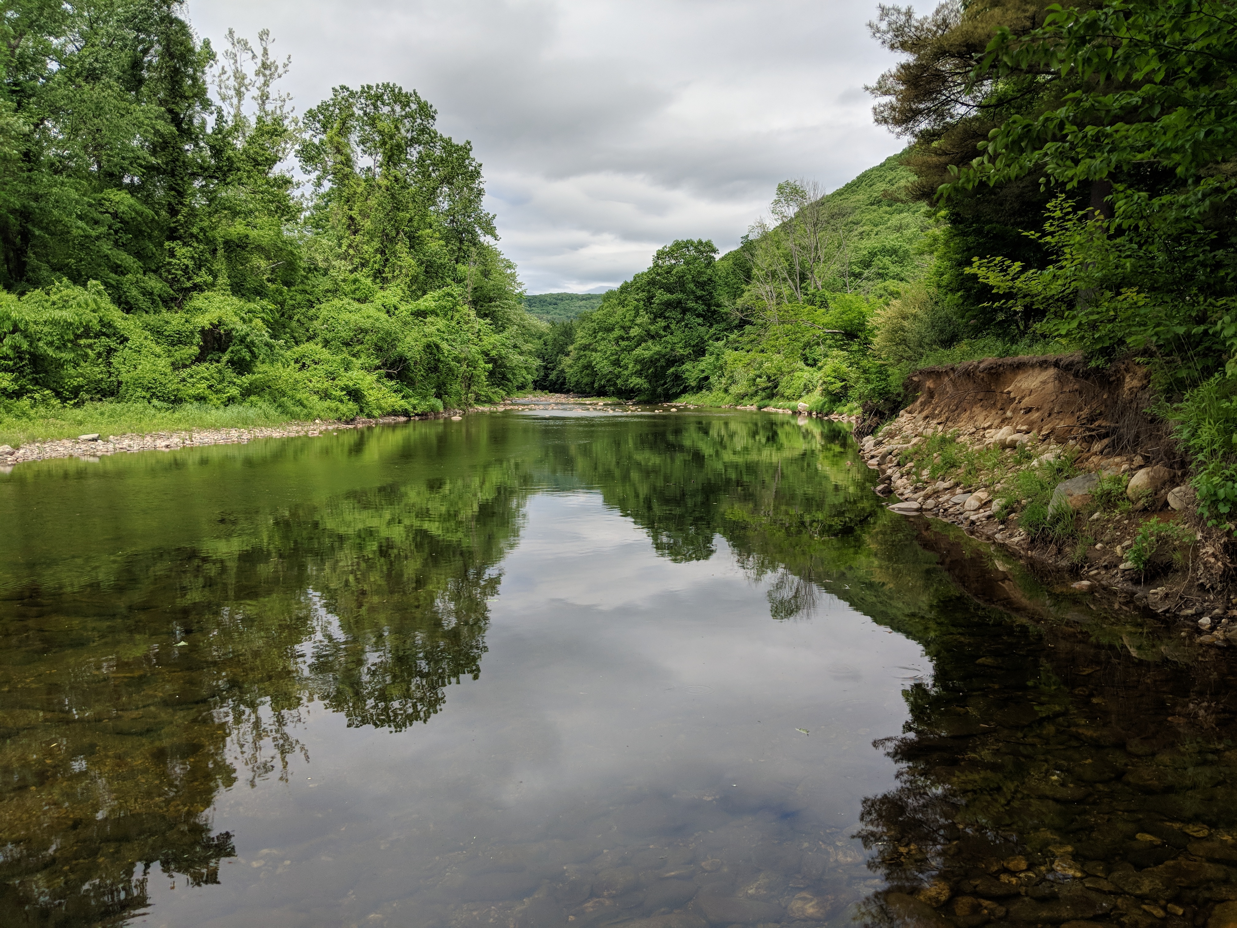
West Branch, Westfield River
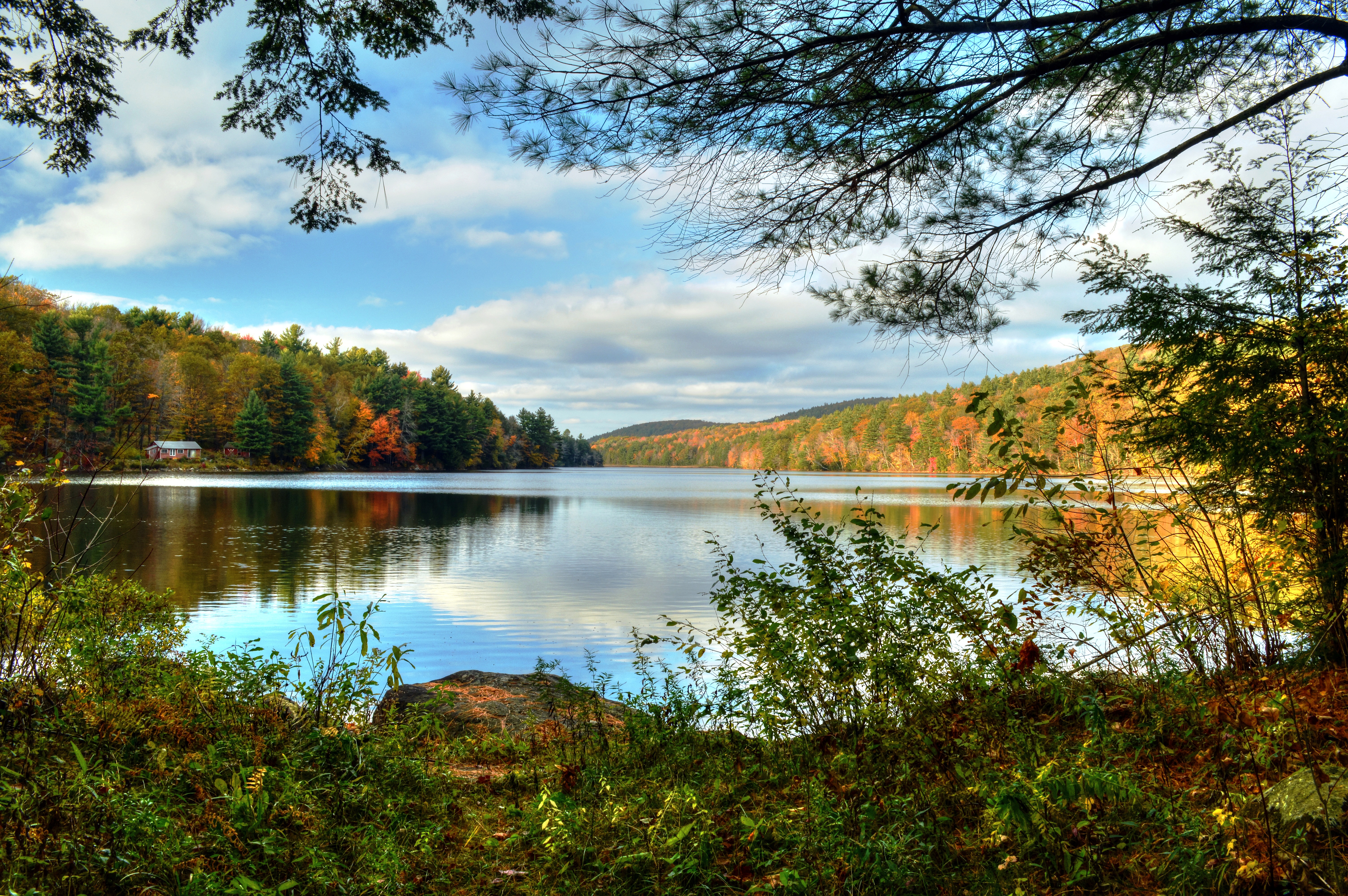
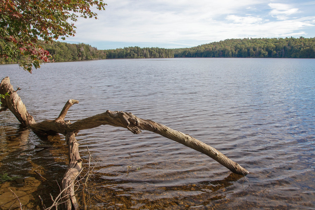
Lower Spectacle Pond

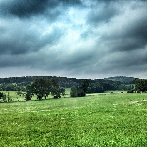
Apple Orchard - Storm Impression
WB_22A #2 IMG_20180531_105902

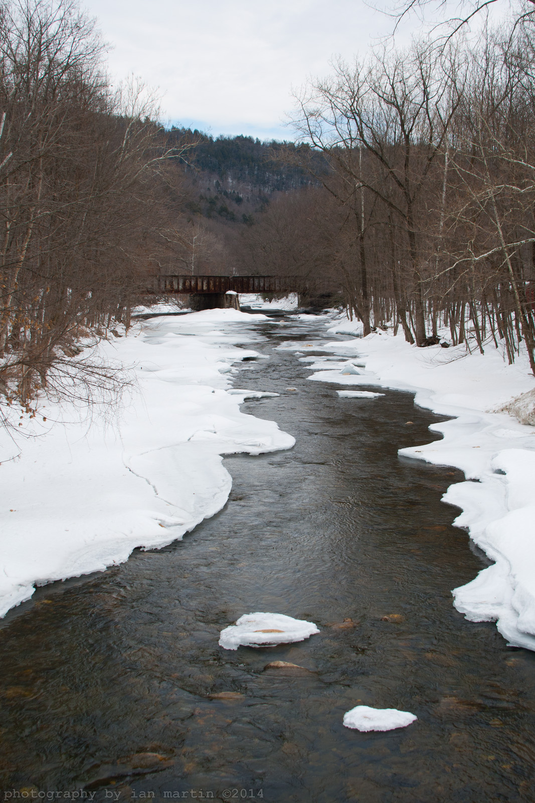
Still Frozen!!!

Buckley Dunton Lake

Shaw Pond #Massachusetts #ontheroad #skysnappers #skyporn #cloudporn #clouds #waterscapes #htcevo4glte #htc #weatherchannel #thisisnow
Buckley Dunton Lake
Fall River in October

Lake.

Shaw Pond-1
Trail To the Second Cabin

DSC_0932 - Version 2

Trail To Second Cottage
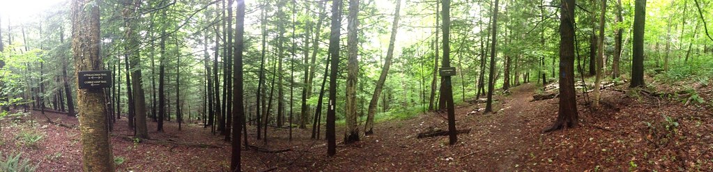
Intersection of Cobble Trail and Appalachian Trail
Tyringham Cobble with Nathan Householder
Topographic Map of Hopkins Lane, Hopkins Ln, Becket, MA, USA
Find elevation by address:

Places near Hopkins Lane, Hopkins Ln, Becket, MA, USA:
1516 Main St
Horn Pond
Center Pond
351 Bonny Rigg Hill Rd
Sherwood Forest
Sherwood Drive
15 Sir Walter Rd
275 Winter Dr
Becket Quarry
153 Sir Walter Ct
Old Abbey Lane West
Leland Road
136 Carter Rd
83 Pleasant St
93 Pleasant St
Becket
12 Brooker Hill Rd, Becket, MA, USA
38 Long Bow Ln
328 Woodmere Rd
221 Carter Rd
Recent Searches:
- Elevation of Snake Hill Rd, North Scituate, RI, USA
- Elevation of Lake Shore Dr, Warwick, RI, USA
- Elevation of E Brightview Ave, Pittsburgh, PA, USA
- Elevation of Cavendish Rd, Harringay Ladder, London N4 1RR, UK
- Elevation of 1 Zion Park Blvd, Springdale, UT, USA
- Elevation of Ganderbal
- Elevation map of Konkan Division, Maharashtra, India
- Elevation of Netaji Nagar, Hallow Pul, Kurla, Mumbai, Maharashtra, India
- Elevation of Uralsk, Kazakhstan
- Elevation of 45- Kahana Dr, Honokaa, HI, USA