Elevation of Hopkins Ave, Redwood City, CA, USA
Location: United States > California > San Mateo County > Redwood City > Mount Carmel >
Longitude: -122.25065
Latitude: 37.4787637
Elevation: 17m / 56feet
Barometric Pressure: 101KPa
Elevation Map:
Satellite Map:
Related Photos:

IMG_8090 Snowy Egret, Mountain View Shoreline Park, CA
Long Walks on Short Piers

Egret Strut

sometimes you just need to wet your beak | atherton, ca

View from the training center.

IMG_1380 Let Me Feed You, Honey.

Sun Burn
Egret landing

IMG_2314 Forster's Tern

If Trees Could Talk

IMG_3580 Black-Crowned Night Heron

St John's

Eared Grebe with just a hint of the breeding plumage

IMG_0173 Here I Come! Mountain View Shoreline Park, CA

folds of oblivion

view from the Palo Alto hills down to the bay.
Into the Sunset (Highway 101)

Night Bridge and Its Reflections

Having an epiphany at the Epiphany

take a load off | emerald lake, ca
Church Tomorrow

Heavenly shades of night are falling, it's twilight time ...

And the wind cries Mary

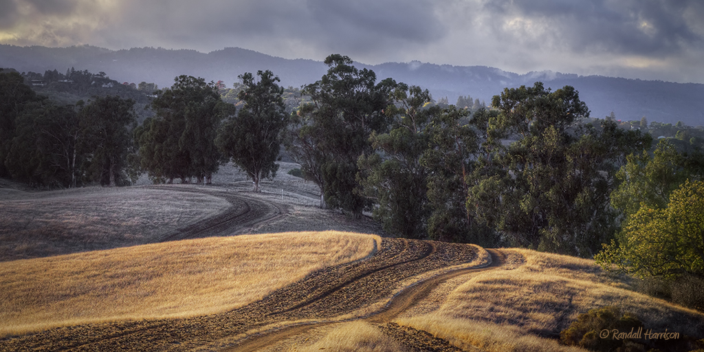
Fields of Gold
Arastradero Pasture

First image taken with my #iphone5 Fog lifting over the South Bay.

Strolling Rodeo Beach - California

Dumbarton Pier 06.jpg
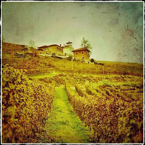
La Villa Tiboldi - Piedmont, Italy
April Skies | Palo Alto

Gentle Afterglow

Driving back from Castle Rock the fog started to roll in and things got mystical near Phleger Estate.

Trees and Rays

Redwood Shores

Way better than the DMV...

Power Meets Power

I wonder

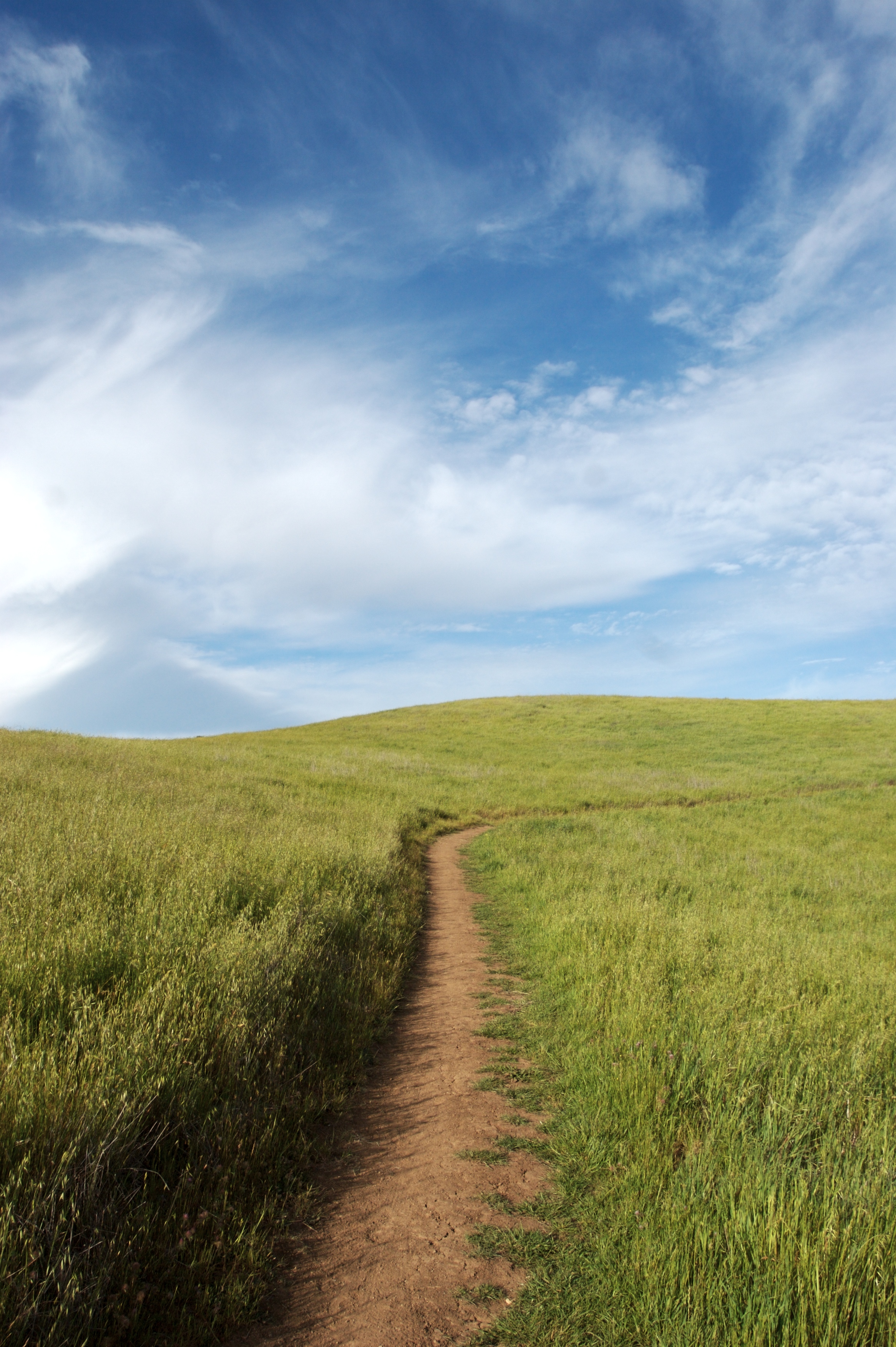
No Name Trail

Trieste Canal

An unusual view of San Francisco

Sun breaking through fog

Stanford and Palo Alto
Topographic Map of Hopkins Ave, Redwood City, CA, USA
Find elevation by address:

Places near Hopkins Ave, Redwood City, CA, USA:
132 Opal Ave
520 Upland Rd
Mount Carmel
1803 Brewster Ave
Brewster Avenue
3321 Dover Rd
Roosevelt
1406 Madison Ave
Redwood City
1056 Foothill St
426 Madison Ave
2016 Redwood Ave
423 Madison Ave
1250 Foothill St
Farm Hills
1400 Foothill St
1423 Virginia Ave
2919 Carson St
299 Franklin St
1452 Gordon St
Recent Searches:
- Elevation of E Brightview Ave, Pittsburgh, PA, USA
- Elevation of Cavendish Rd, Harringay Ladder, London N4 1RR, UK
- Elevation of 1 Zion Park Blvd, Springdale, UT, USA
- Elevation of Ganderbal
- Elevation map of Konkan Division, Maharashtra, India
- Elevation of Netaji Nagar, Hallow Pul, Kurla, Mumbai, Maharashtra, India
- Elevation of Uralsk, Kazakhstan
- Elevation of 45- Kahana Dr, Honokaa, HI, USA
- Elevation of New Mexico 30, NM-30, Española, NM, USA
- Elevation of Santmyer Way, Charles Town, WV, USA