Elevation of Hopedale, NL, Canada
Location: Canada > Newfoundland And Labrador > Division No. 10 >
Longitude: -60.211485
Latitude: 55.457954
Elevation: 1m / 3feet
Barometric Pressure: 101KPa
Elevation Map:
Satellite Map:
Related Photos:
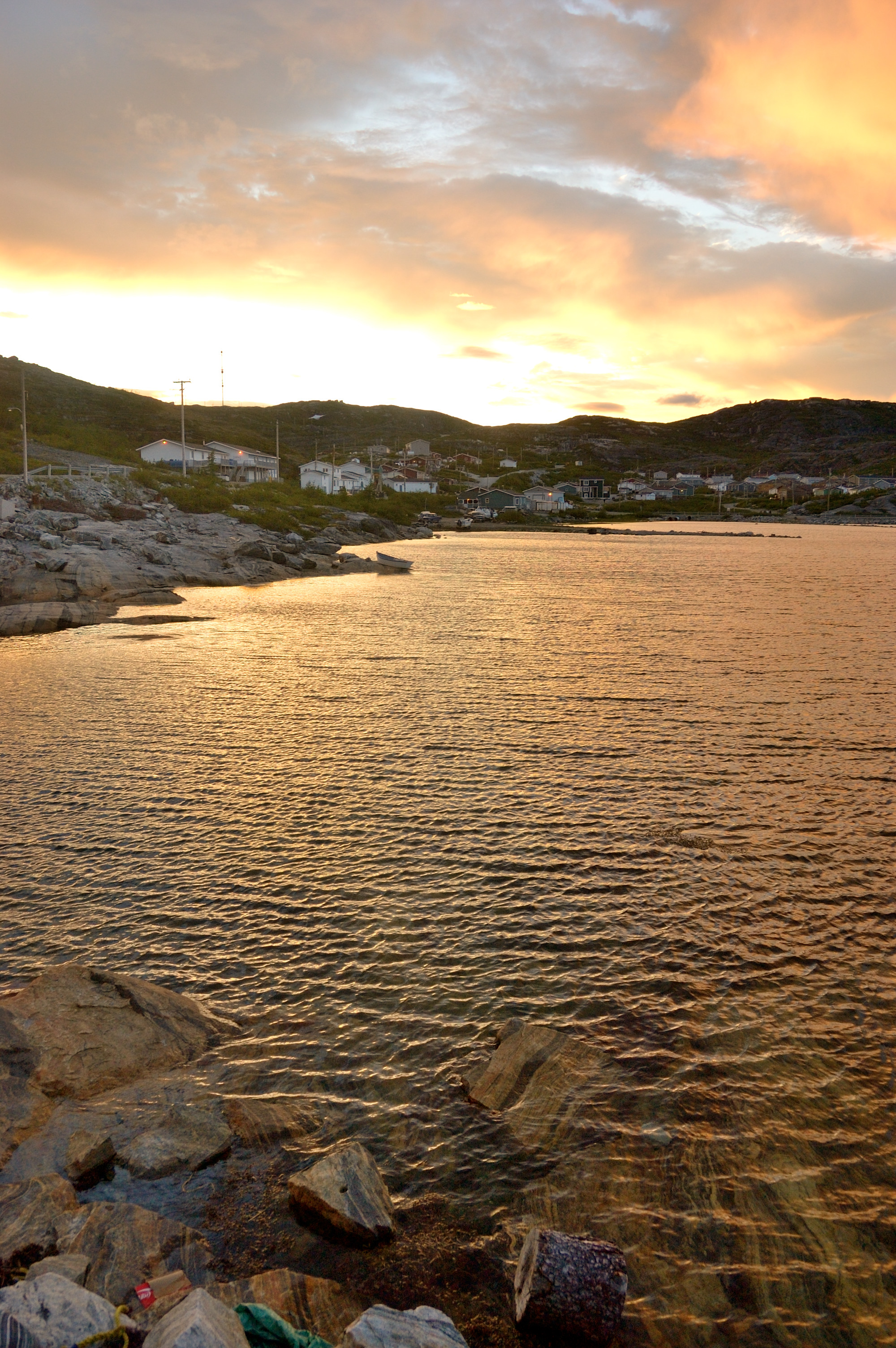
DSC_6162
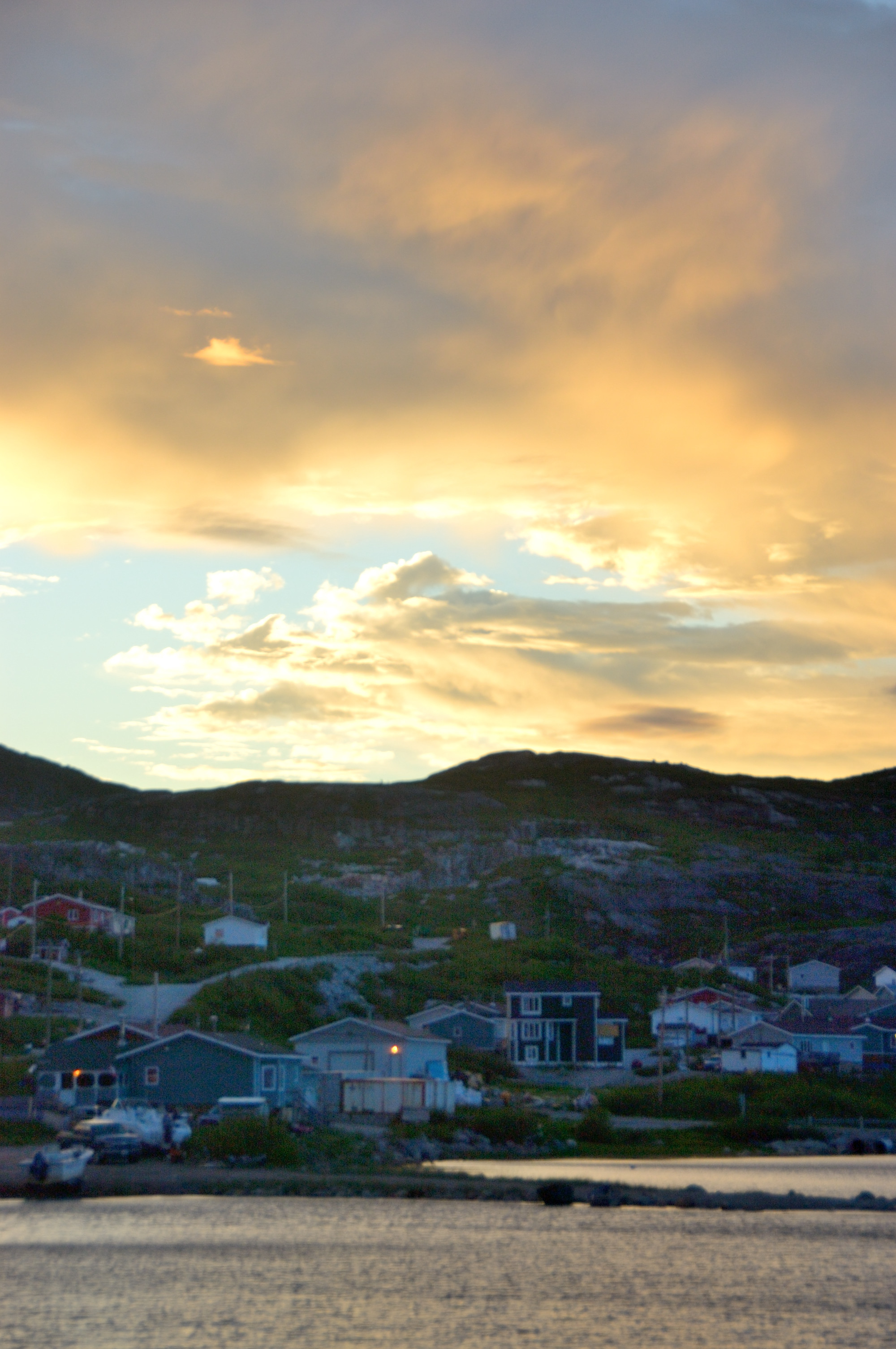
DSC_6164

The edge of Hopedale Airstrip
Topographic Map of Hopedale, NL, Canada
Find elevation by address:

Places in Hopedale, NL, Canada:
Places near Hopedale, NL, Canada:
11 Government Rd, Hopedale, NL A0P 1G0, Canada
Hopedale Airport
Division No. 10
1 Seaview Cres, Makkovik, NL A0P 1J0, Canada
Recent Searches:
- Elevation of Elwyn Dr, Roanoke Rapids, NC, USA
- Elevation of Congressional Dr, Stevensville, MD, USA
- Elevation of Bellview Rd, McLean, VA, USA
- Elevation of Stage Island Rd, Chatham, MA, USA
- Elevation of Shibuya Scramble Crossing, 21 Udagawacho, Shibuya City, Tokyo -, Japan
- Elevation of Jadagoniai, Kaunas District Municipality, Lithuania
- Elevation of Pagonija rock, Kranto 7-oji g. 8"N, Kaunas, Lithuania
- Elevation of Co Rd 87, Jamestown, CO, USA
- Elevation of Tenjo, Cundinamarca, Colombia
- Elevation of Côte-des-Neiges, Montreal, QC H4A 3J6, Canada