Elevation of Hope Ln, Tappahannock, VA, USA
Location: United States > Virginia > Essex County > Tappahannock > Tappahannock >
Longitude: -76.936148
Latitude: 37.9069306
Elevation: 45m / 148feet
Barometric Pressure: 101KPa
Elevation Map:
Satellite Map:
Related Photos:

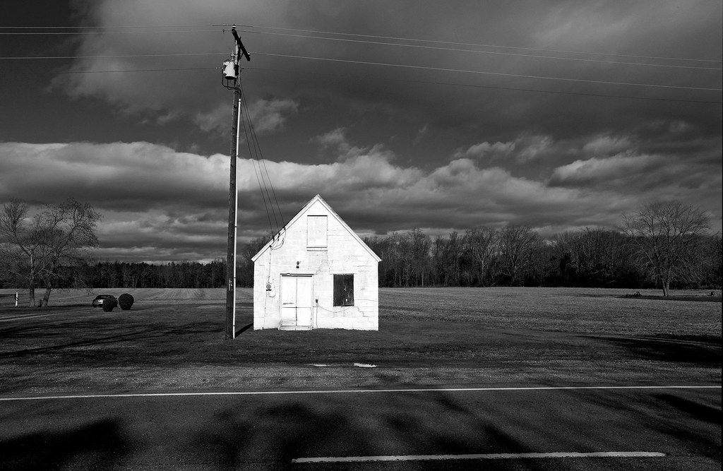
Tappahannock Methodist Church
Outside Tappahannock
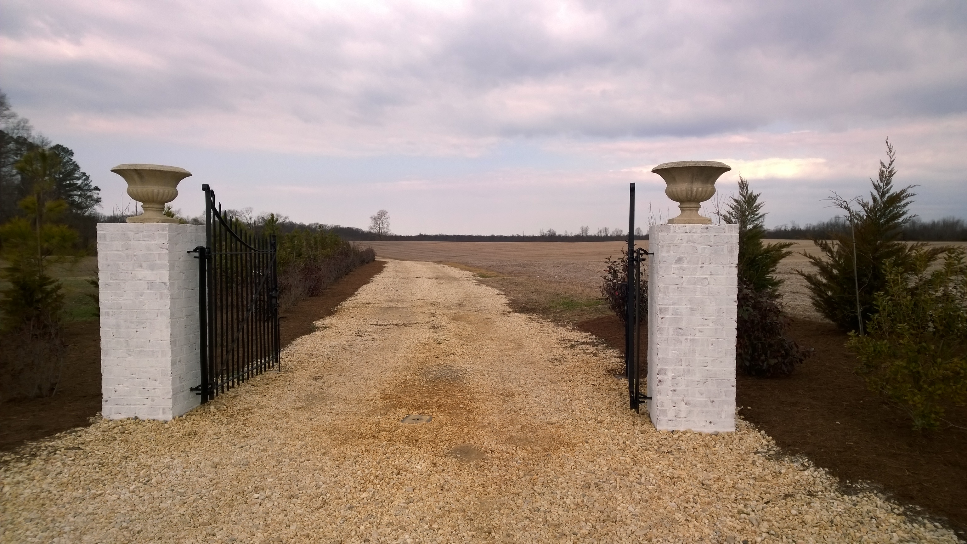
Mahockney Entrance Gate front view
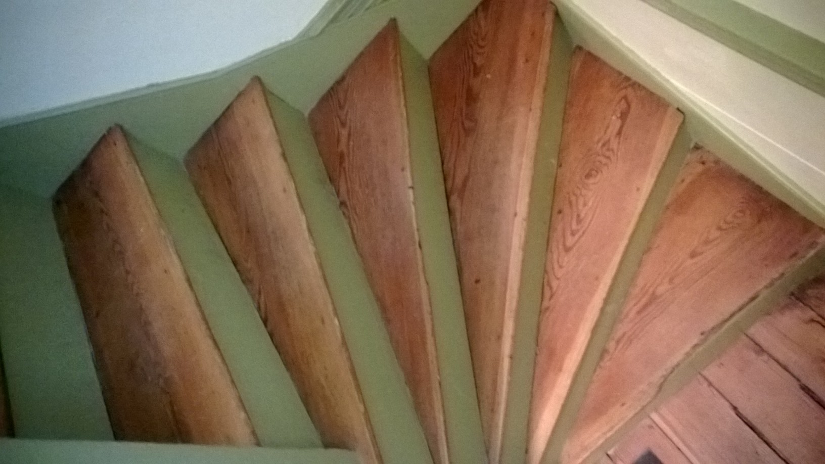
Pie-shaped stairs view
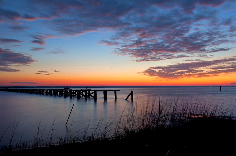
Rappahannock River Sunrise I
The Marsh

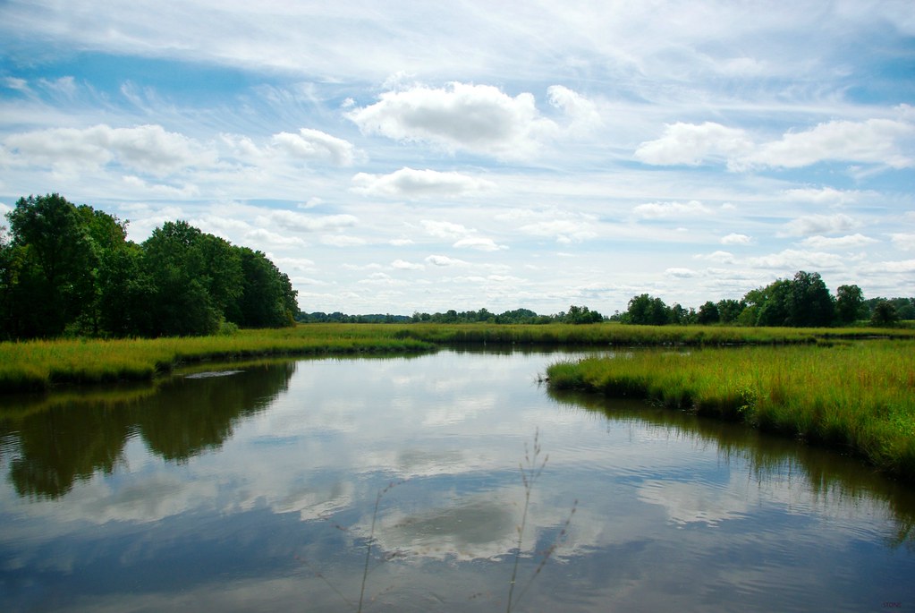
Rappahannock River Valley NWR
Sunrise Over Cat Point Creek
I don't mind being stuck on a bridge if it's a bridge over the Rappahannock.... ☀️

Under a Cloud-Gray Sky

Rappahannock River Valley NWR

Rappahannock River Valley NWR
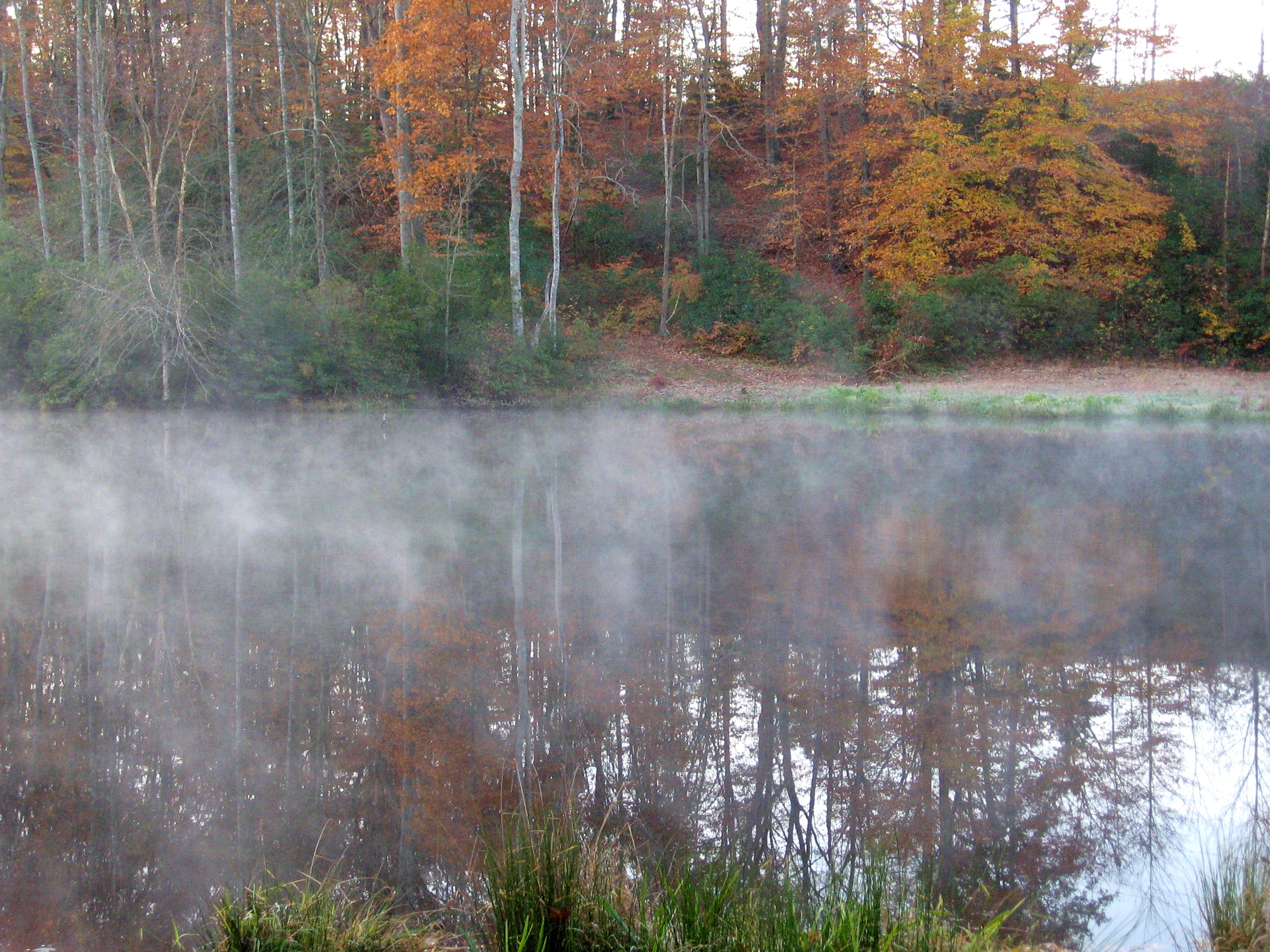
down at the lake, early morning

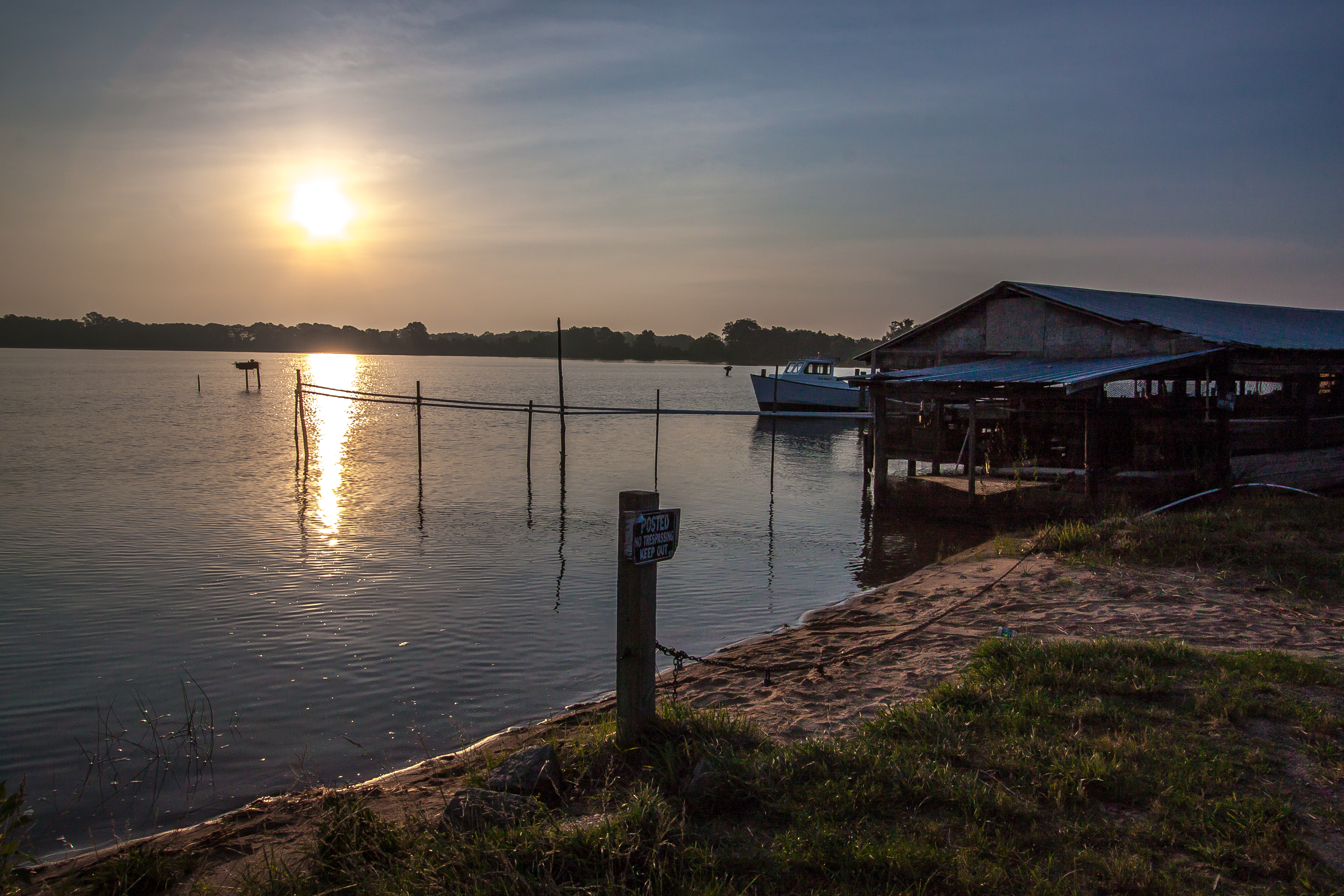
Piscataway Creek

Piscataway Creek
Big sky at Mahockney

Rappahannock River Valley NWR
The Marsh
Thomas J Downing Bridge

Demonstrating Soil and Water Quality Practices at Midway Farms

Rappahannock River Valley NWR
"Ripple"
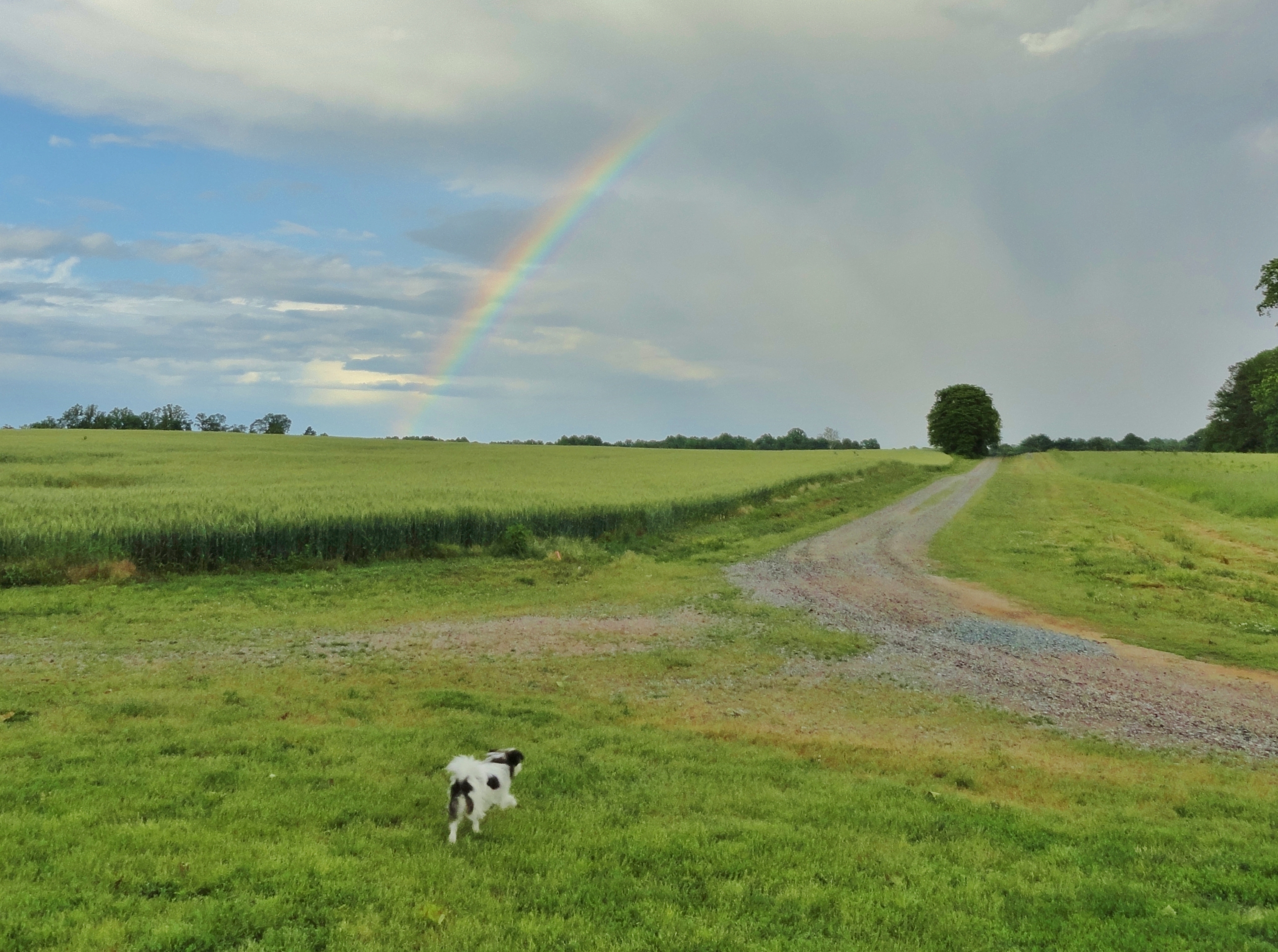
Zasu (the Zen-Master Japanese Chen) checks out our rainbow
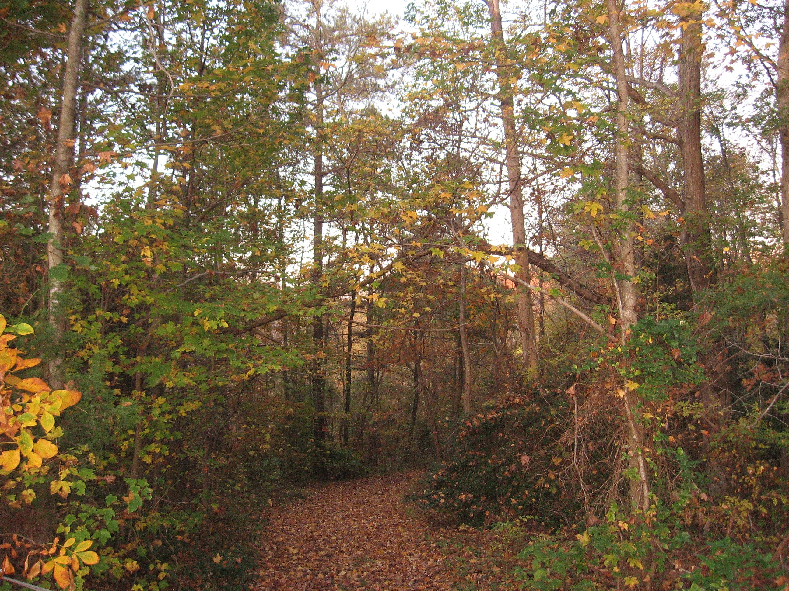
Path down to the lake

VIRGINIA: ESSEX COUNTY: LEBANON CHURCH: Lebanon United Methodist Church, 146 Lebanon Church Road (S.R. 634) rear cemetery
Topographic Map of Hope Ln, Tappahannock, VA, USA
Find elevation by address:

Places near Hope Ln, Tappahannock, VA, USA:
Sunnyside Rd, Tappahannock, VA, USA
Central
Mt Landing Rd, Tappahannock, VA, USA
2917 Richmond Hwy
Mt Landing Rd, Tappahannock, VA, USA
23500 Us-17
Essex County
Essex County
Essex County
Essex County
Essex County
Essex County
215 Clements Dr
1616 Tappahannock Blvd
621 Cralle Ave
State Rte, Tappahannock, VA, USA
Tappahannock
Tappahannock
556 Riverdale Rd
Island Farm Rd, Tappahannock, VA, USA
Recent Searches:
- Elevation of Rojo Ct, Atascadero, CA, USA
- Elevation of Flagstaff Drive, Flagstaff Dr, North Carolina, USA
- Elevation of Avery Ln, Lakeland, FL, USA
- Elevation of Woolwine, VA, USA
- Elevation of Lumagwas Diversified Farmers Multi-Purpose Cooperative, Lumagwas, Adtuyon, RV32+MH7, Pangantucan, Bukidnon, Philippines
- Elevation of Homestead Ridge, New Braunfels, TX, USA
- Elevation of Orchard Road, Orchard Rd, Marlborough, NY, USA
- Elevation of 12 Hutchinson Woods Dr, Fletcher, NC, USA
- Elevation of Holloway Ave, San Francisco, CA, USA
- Elevation of Norfolk, NY, USA