Elevation of Honor Camp Ln, Fordland, MO, USA
Location: United States > Missouri > Webster County > Green Hill Township > Fordland >
Longitude: -92.876427
Latitude: 37.152859
Elevation: 511m / 1677feet
Barometric Pressure: 95KPa
Elevation Map:
Satellite Map:
Related Photos:
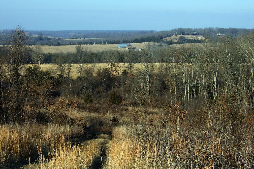
View from Compton Hollow Conservation Area
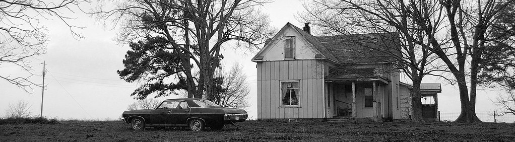
Near Olga, State Highway Z
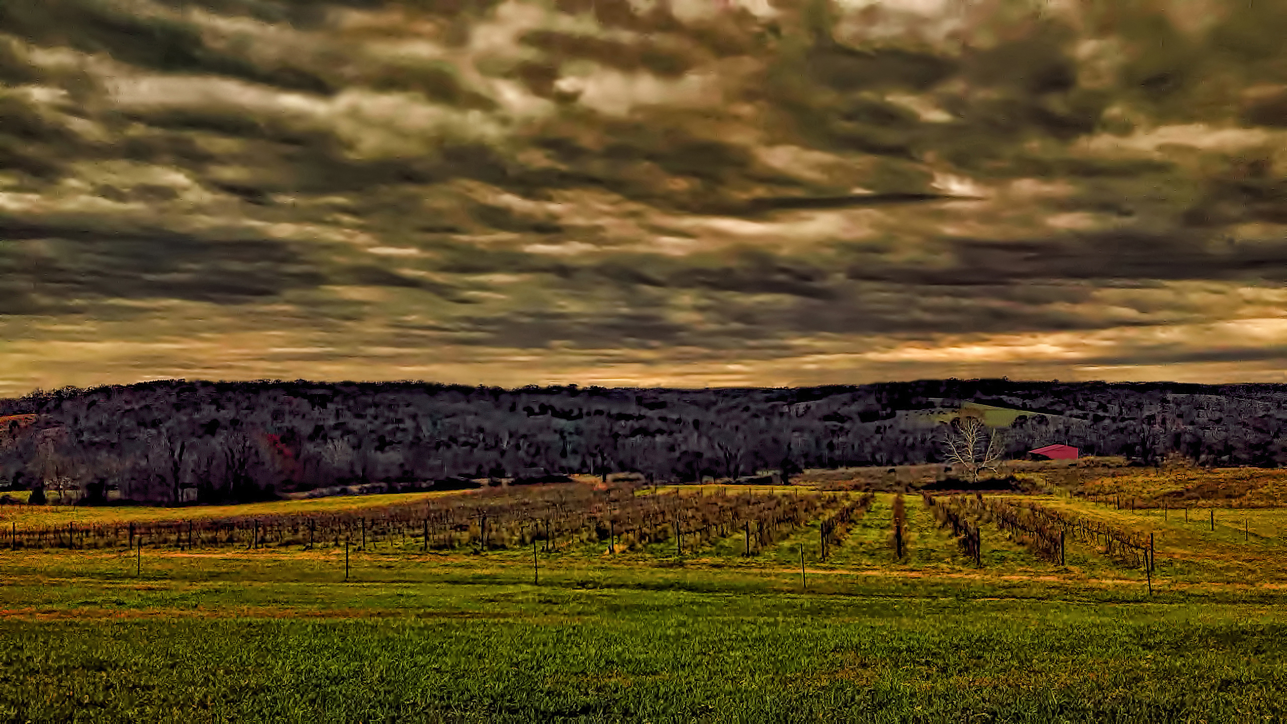
storm over the vineyard
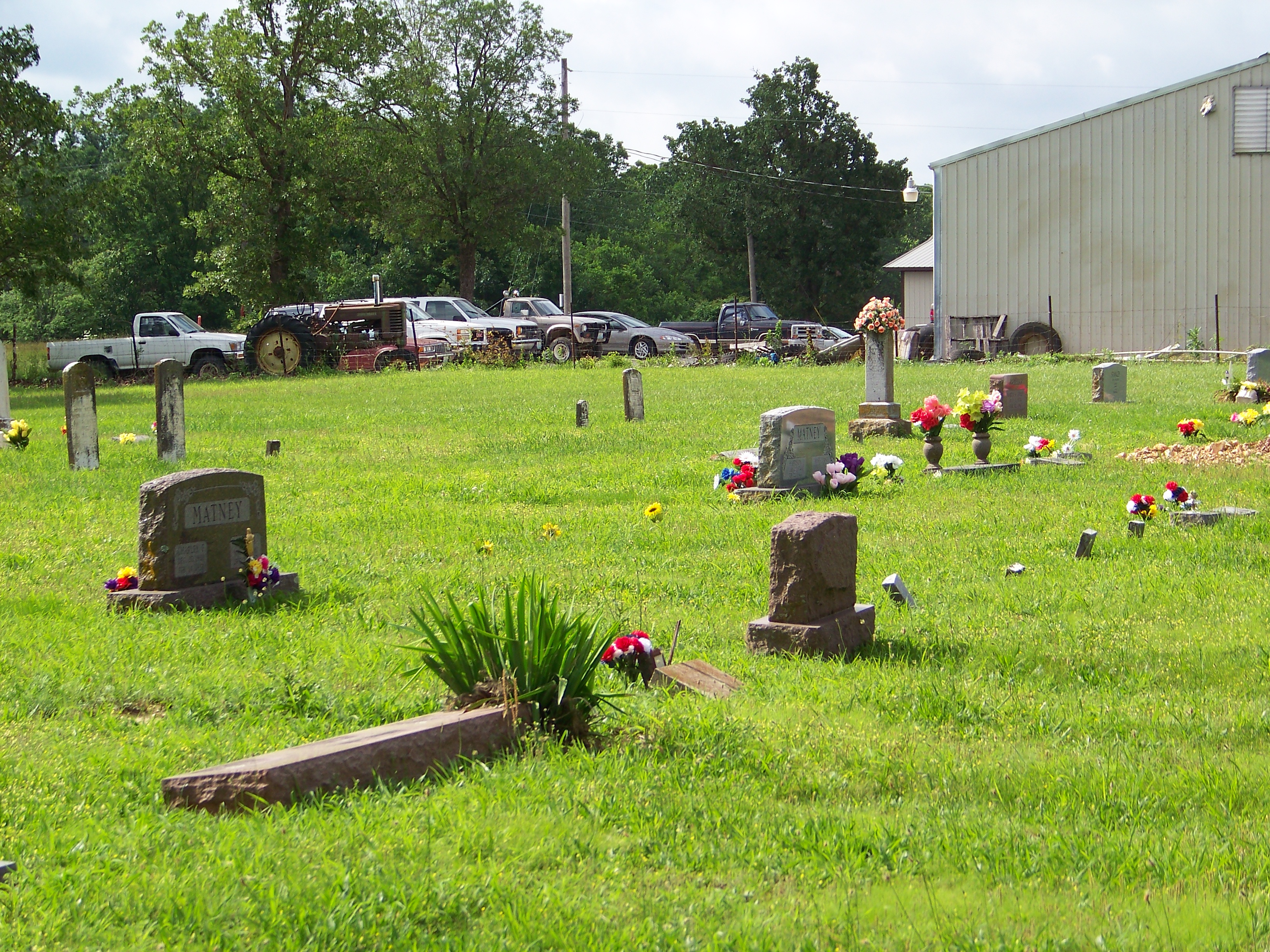
Matney Graves
052910-6
Ginger on a trail at Compton Hollow
052210-blackout6

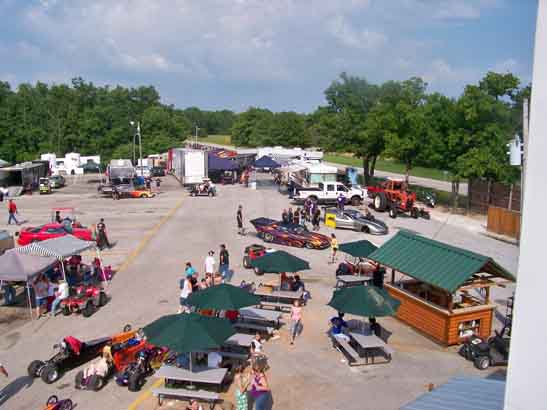
Afternoon Hike at Compton Hollow Conservation Area

2015-01-17-161411.jpg
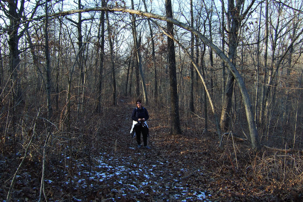
Spot the trail - Compton Hollow Conservation Area
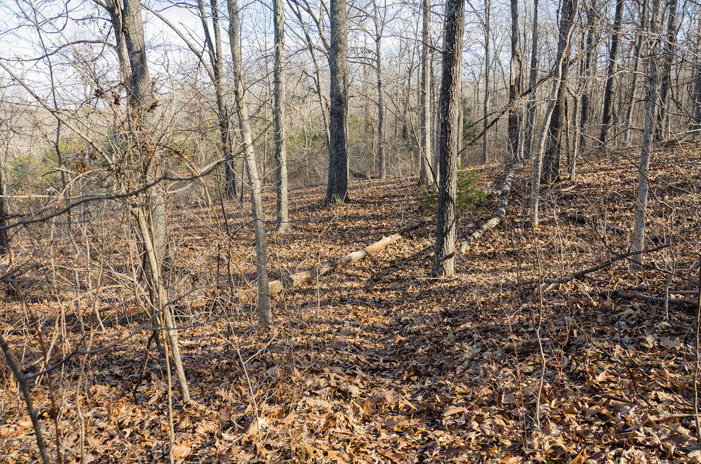
Afternoon Hike at Compton Hollow Conservation Area

Buna dimineatza! Park ii noapte, pahodu azi ii furtuna serioasa! :)
Topographic Map of Honor Camp Ln, Fordland, MO, USA
Find elevation by address:

Places near Honor Camp Ln, Fordland, MO, USA:
Diggins
US-60, Seymour, MO, USA
Green Hill Township
Diggins Township
Fordland
2023 Green Hill Rd
31 Hickory Hill Dr
Dallas Township
Stroud Hollow Lane
1099 Stroud Hollow Ln
4263 White Oak Rd
Benton Township
131 Bobwhite Rd
Rogersville
1145 State Hwy B
239 Shiloh Rd
Rogersville, MO, USA
6248 S State Hwy Vv
S Farm Rd, Rogersville, MO, USA
Taylor Township
Recent Searches:
- Elevation of 12 Hutchinson Woods Dr, Fletcher, NC, USA
- Elevation of Holloway Ave, San Francisco, CA, USA
- Elevation of Norfolk, NY, USA
- Elevation of - San Marcos Pass Rd, Santa Barbara, CA, USA
- Elevation of th Pl SE, Issaquah, WA, USA
- Elevation of 82- D Rd, Captain Cook, HI, USA
- Elevation of Harlow CM20 2PR, UK
- Elevation of Shenyang Agricultural University, Dong Ling Lu, Shen He Qu, Shen Yang Shi, Liao Ning Sheng, China
- Elevation of Alpha Dr, Melbourne, FL, USA
- Elevation of Hiroshima University, 1-chōme-3-2 Kagamiyama, Higashihiroshima, Hiroshima -, Japan