Elevation of Homeyer Rd, Sparrow Bush, NY, USA
Location: United States > New York > Sullivan County > Lumberland >
Longitude: -74.785546
Latitude: 41.42536
Elevation: 199m / 653feet
Barometric Pressure: 99KPa
Elevation Map:
Satellite Map:
Related Photos:
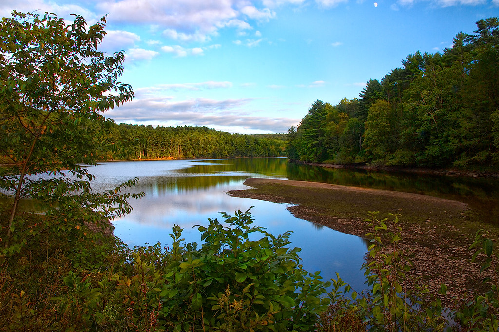
Moon Over Mongaup
High Point View
the Hawk's Nest by day
Great Lunch Spot

Down 'n' Out
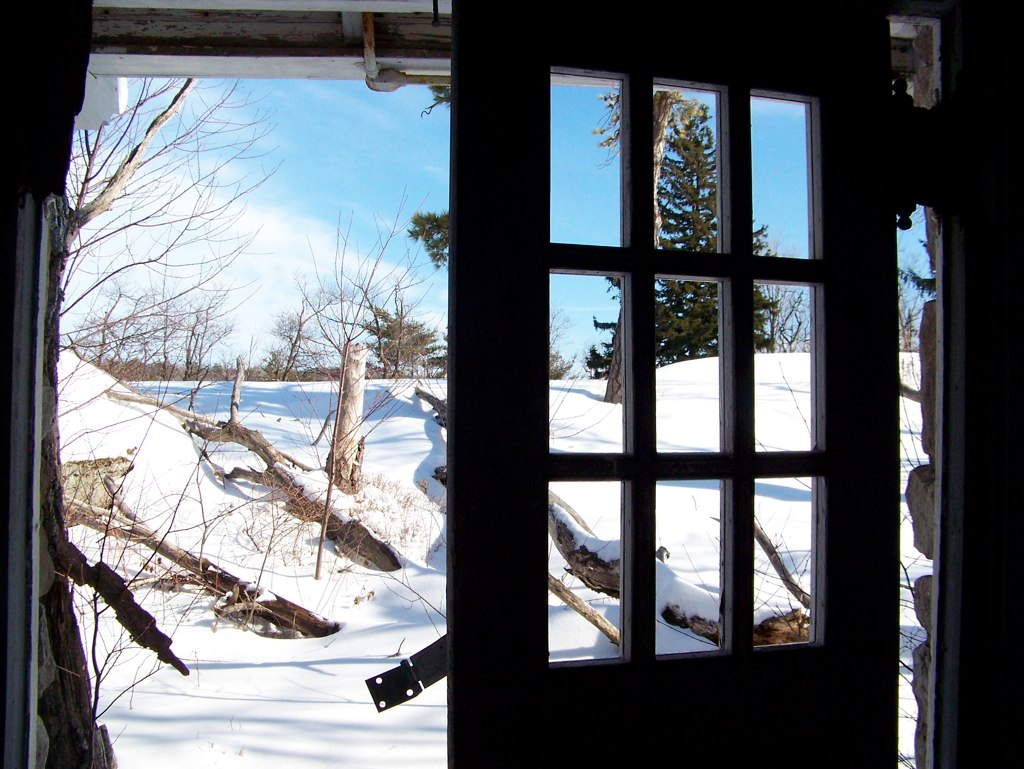
Baby, Its Cold Outside
High Point State Park views from the summit

Port Jervis Roundhouse and Engine Terminal
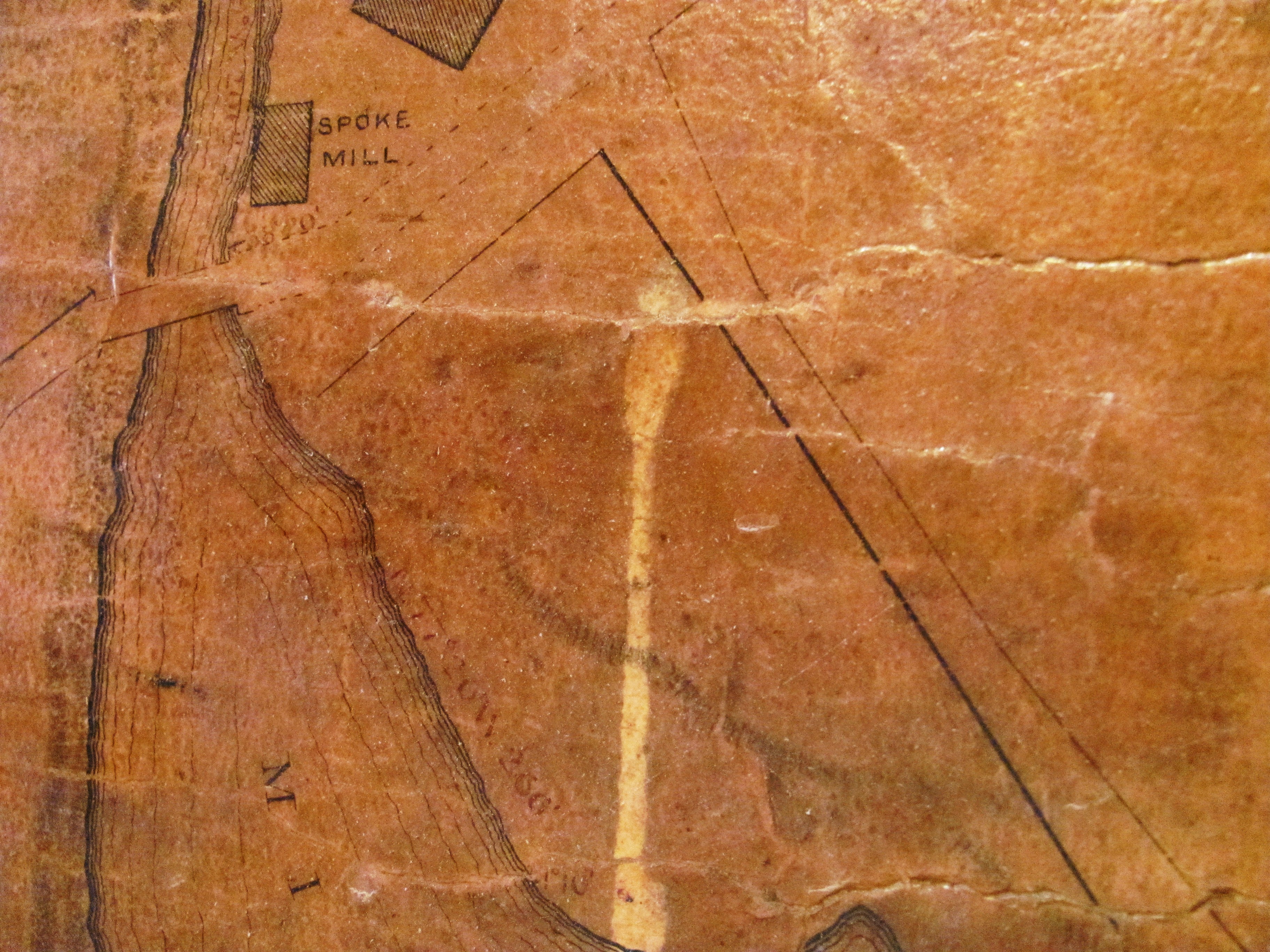
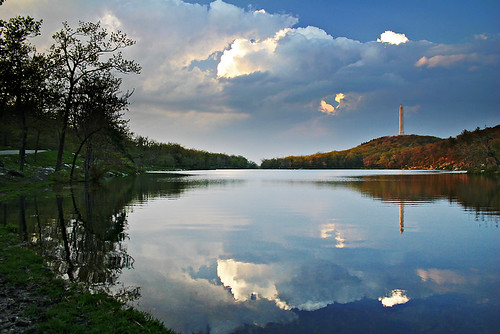
Sawkill Mill Pond, 1877

Mint Chocolate Chip

storm ahead
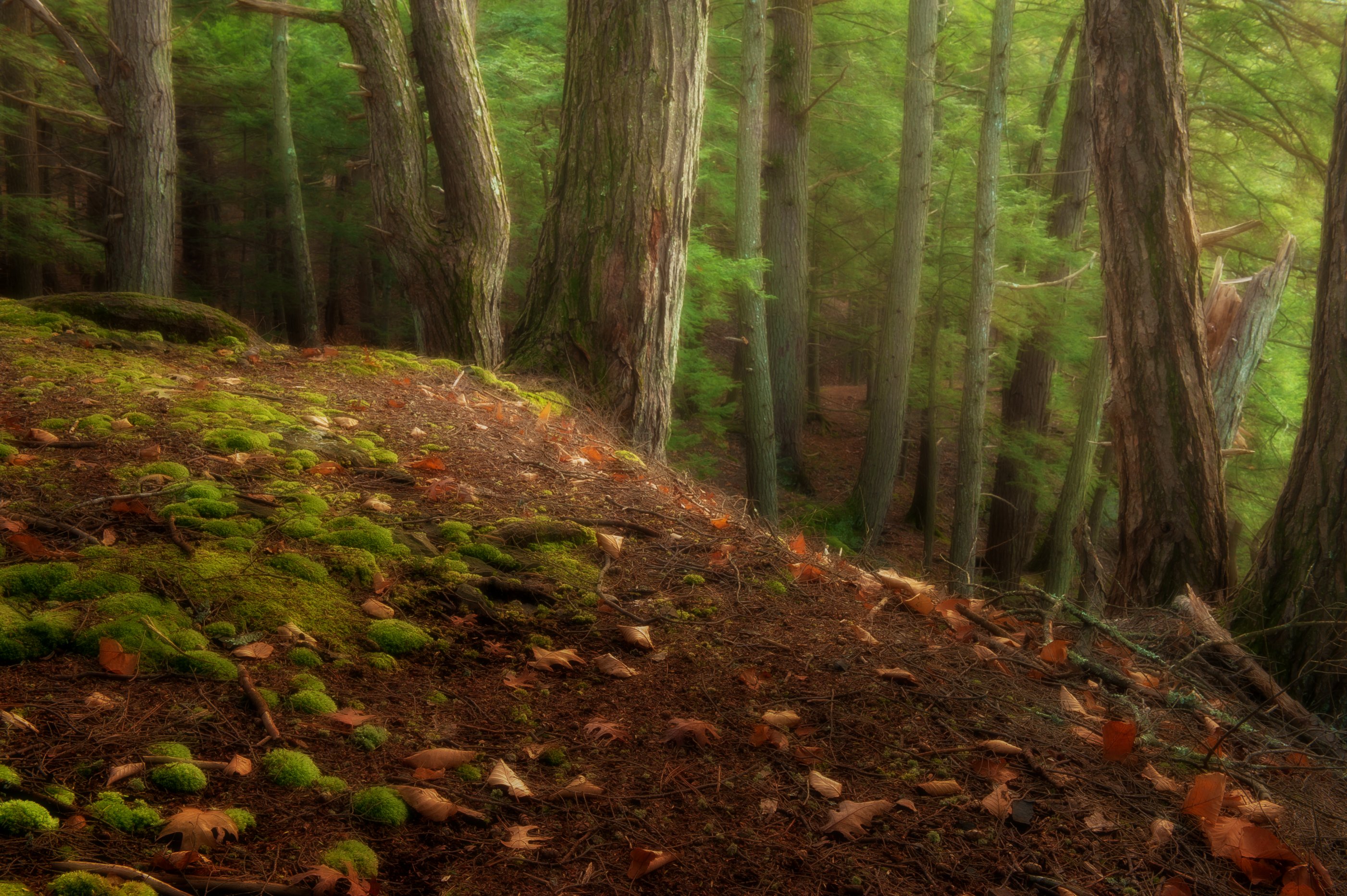
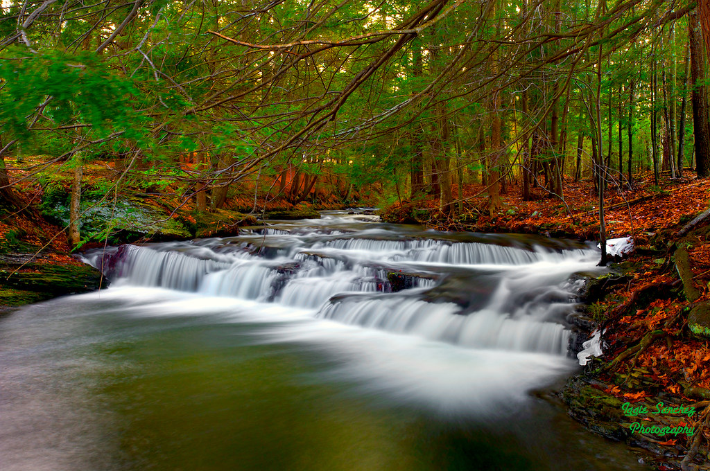
Raymondskill forest
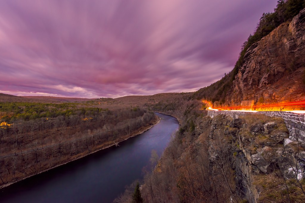
High Point Flare
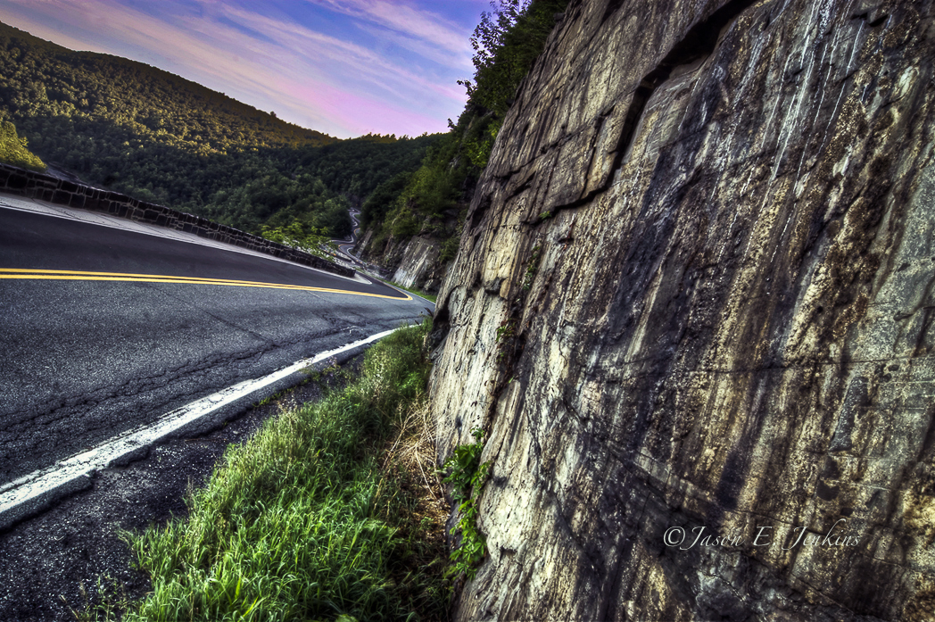
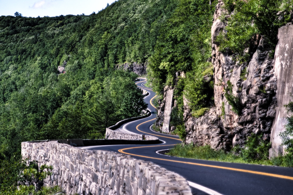
Switchbacks and S-curves

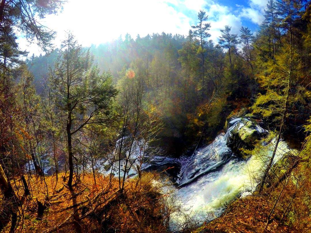
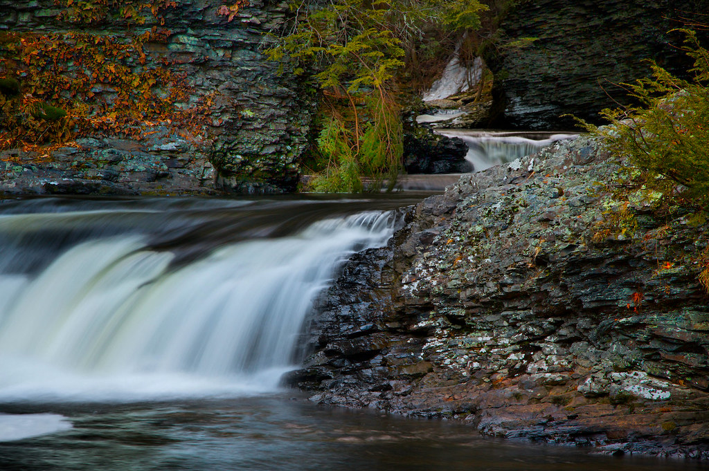
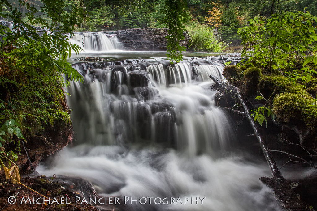
Raymondskill Falls
Views of Greenkill 2

~The World Is Wide-Open For Adventure~

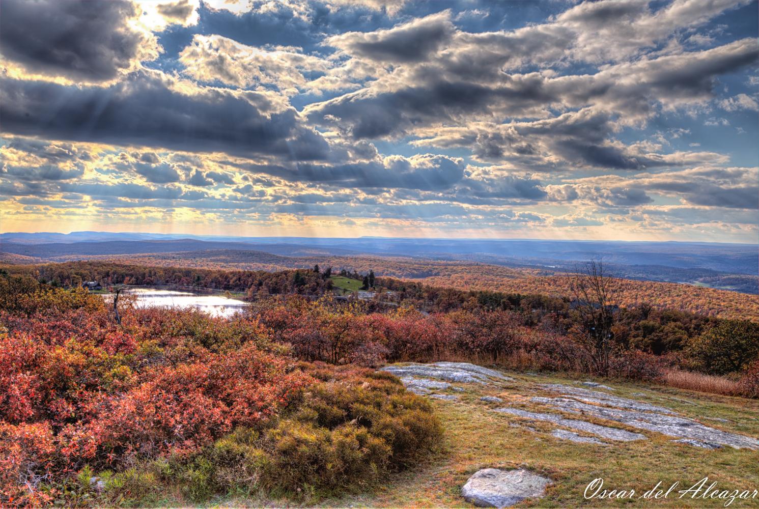
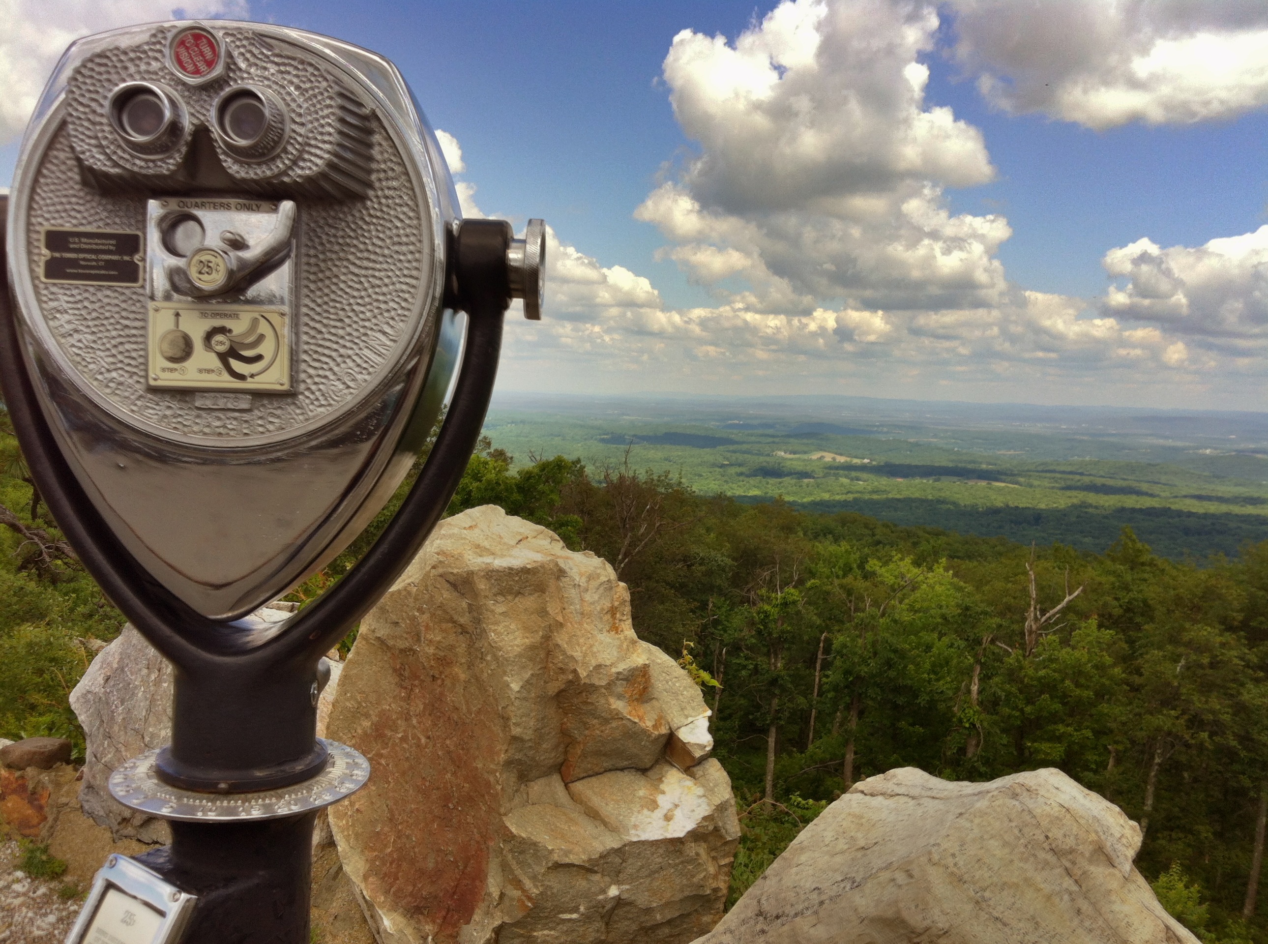
View From Milford Knob
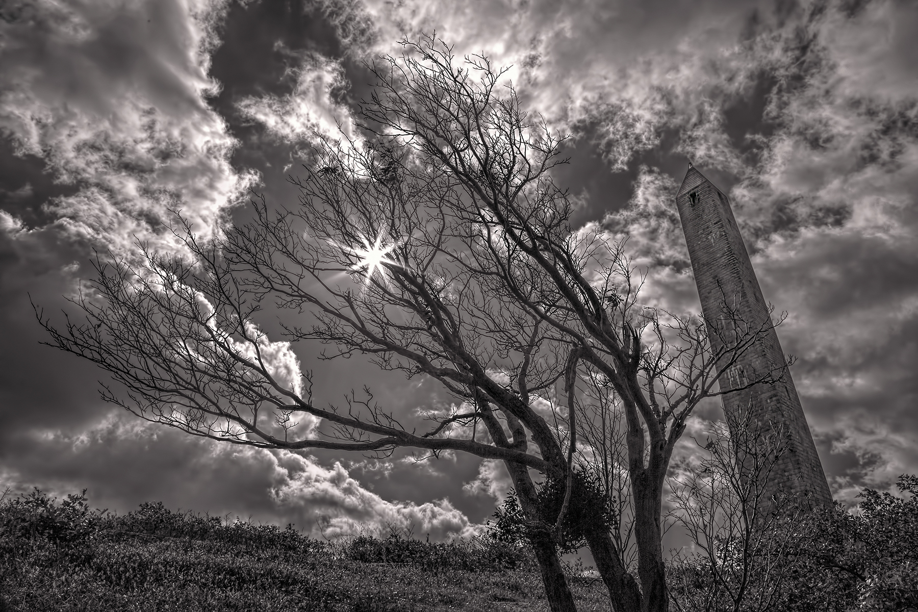
View from the top of the monument at High Point State Park

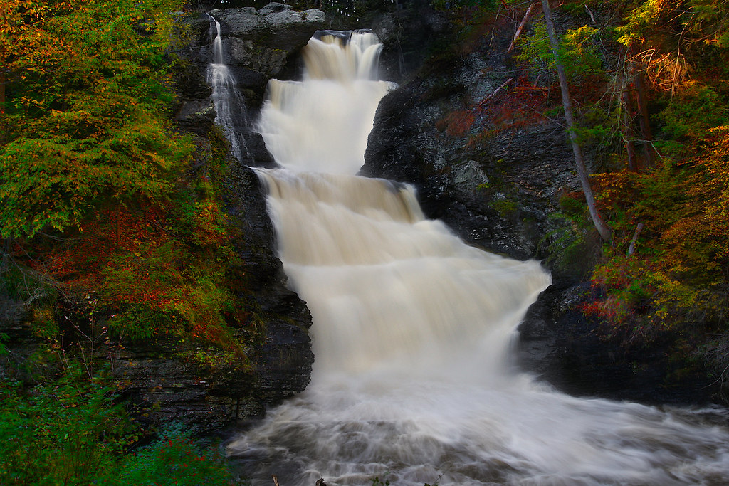
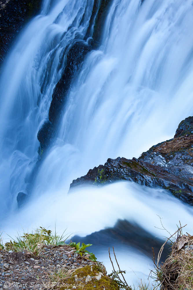
Raymondskill Falls II
Ridge Road

Just Breathe

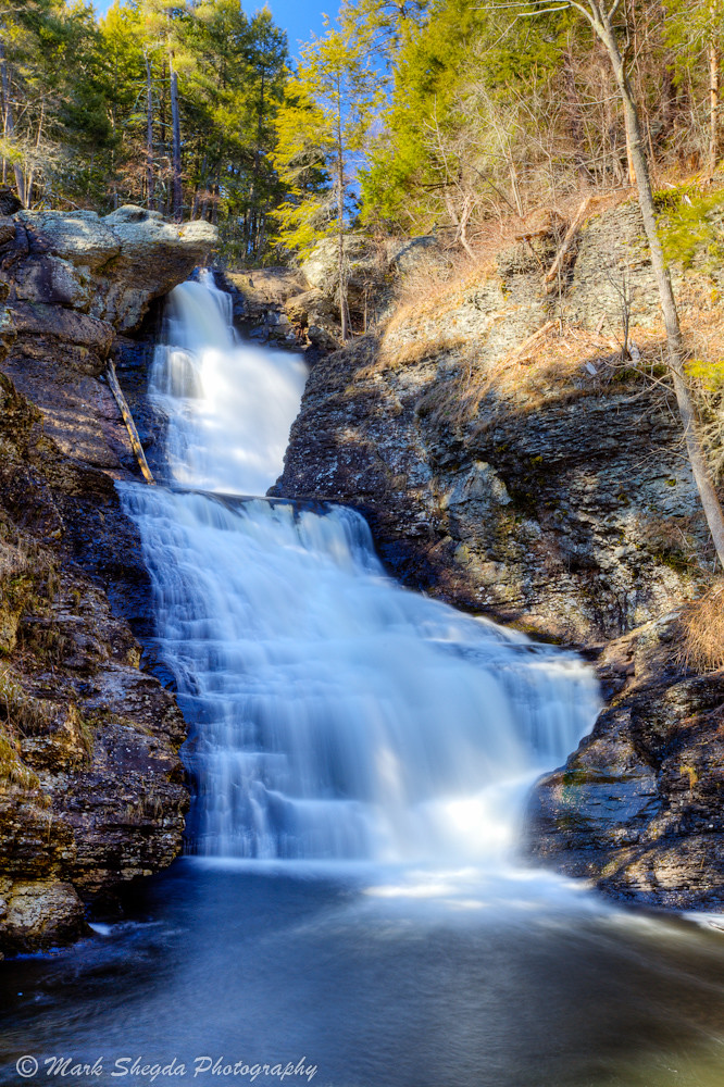
Raymondskill Falls
High Point Symmetry
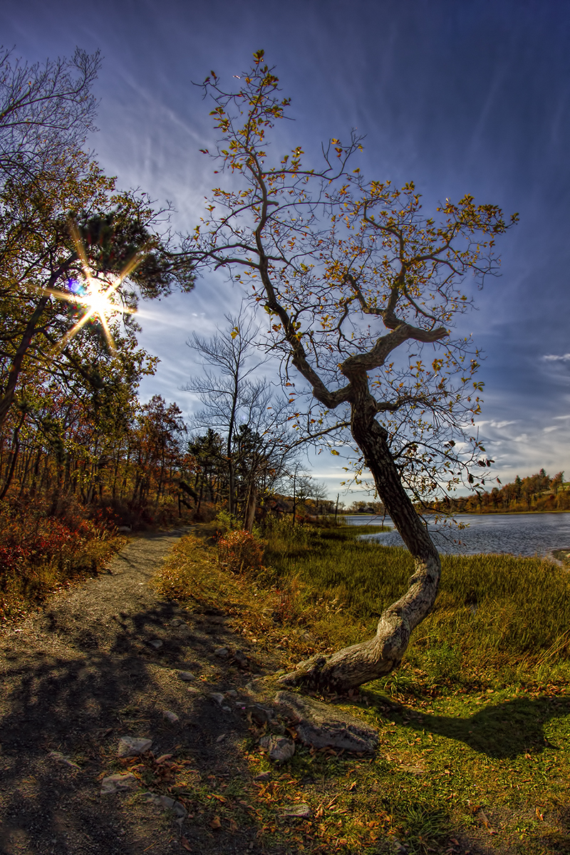
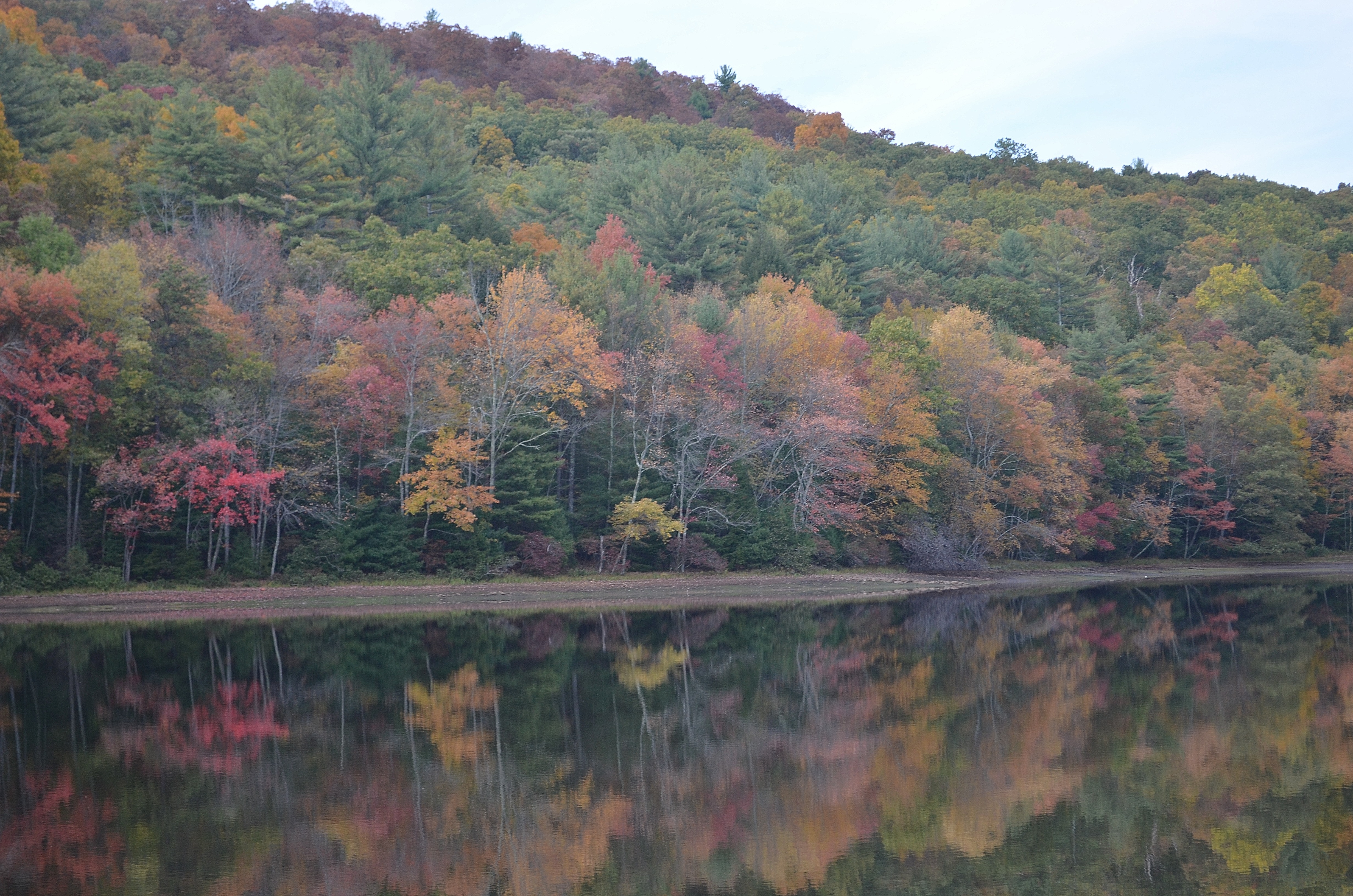
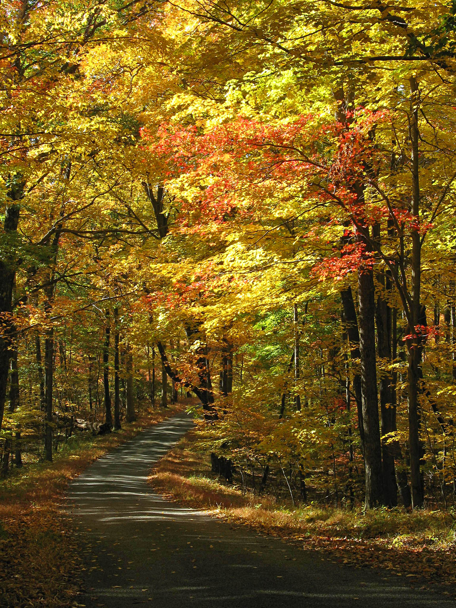
Autumnal Gnarliness
Excited for another weekend chasing waterfalls! ????
Adam's Creek
Playful Turns at Raymondskill Falls
Softness and Color - Raymondskill Falls

NY State Route97-1204.jpg

Hawks Nest

Ice Dancing Trees
_MG_7558_59_60_tonemapped_tonemapped.jpg
The Hawk's Nest on November 24, 2012
Shohola Falls

Coal Trestle
_MG_7597_7598 - Edit.jpg
Topographic Map of Homeyer Rd, Sparrow Bush, NY, USA
Find elevation by address:

Places near Homeyer Rd, Sparrow Bush, NY, USA:
51 Homeyer Rd
438 Decker Rd
277 White Rd
102 T-436
120 T-436
Pond Eddy Bridge
472 Hollow Rd
40 Akeson Rd, Glen Spey, NY, USA
56 Berm and Church Rd, Pond Eddy, NY, USA
Pond Eddy
Berm And Church Road
24 Anna Rd
Westfall Township
T-, Milford, PA, USA
940 Berme Church Rd
7 Sweeney Rd
7 Cherry Hill
Lumberland
Glen Spey, NY, USA
138 Field Stone Dr
Recent Searches:
- Elevation of Elwyn Dr, Roanoke Rapids, NC, USA
- Elevation of Congressional Dr, Stevensville, MD, USA
- Elevation of Bellview Rd, McLean, VA, USA
- Elevation of Stage Island Rd, Chatham, MA, USA
- Elevation of Shibuya Scramble Crossing, 21 Udagawacho, Shibuya City, Tokyo -, Japan
- Elevation of Jadagoniai, Kaunas District Municipality, Lithuania
- Elevation of Pagonija rock, Kranto 7-oji g. 8"N, Kaunas, Lithuania
- Elevation of Co Rd 87, Jamestown, CO, USA
- Elevation of Tenjo, Cundinamarca, Colombia
- Elevation of Côte-des-Neiges, Montreal, QC H4A 3J6, Canada