Elevation of Holtålen, Norway
Location: Norway > Sor-trondelag >
Longitude: 11.2226833
Latitude: 62.8985872
Elevation: 484m / 1588feet
Barometric Pressure: 96KPa
Elevation Map:
Satellite Map:
Related Photos:

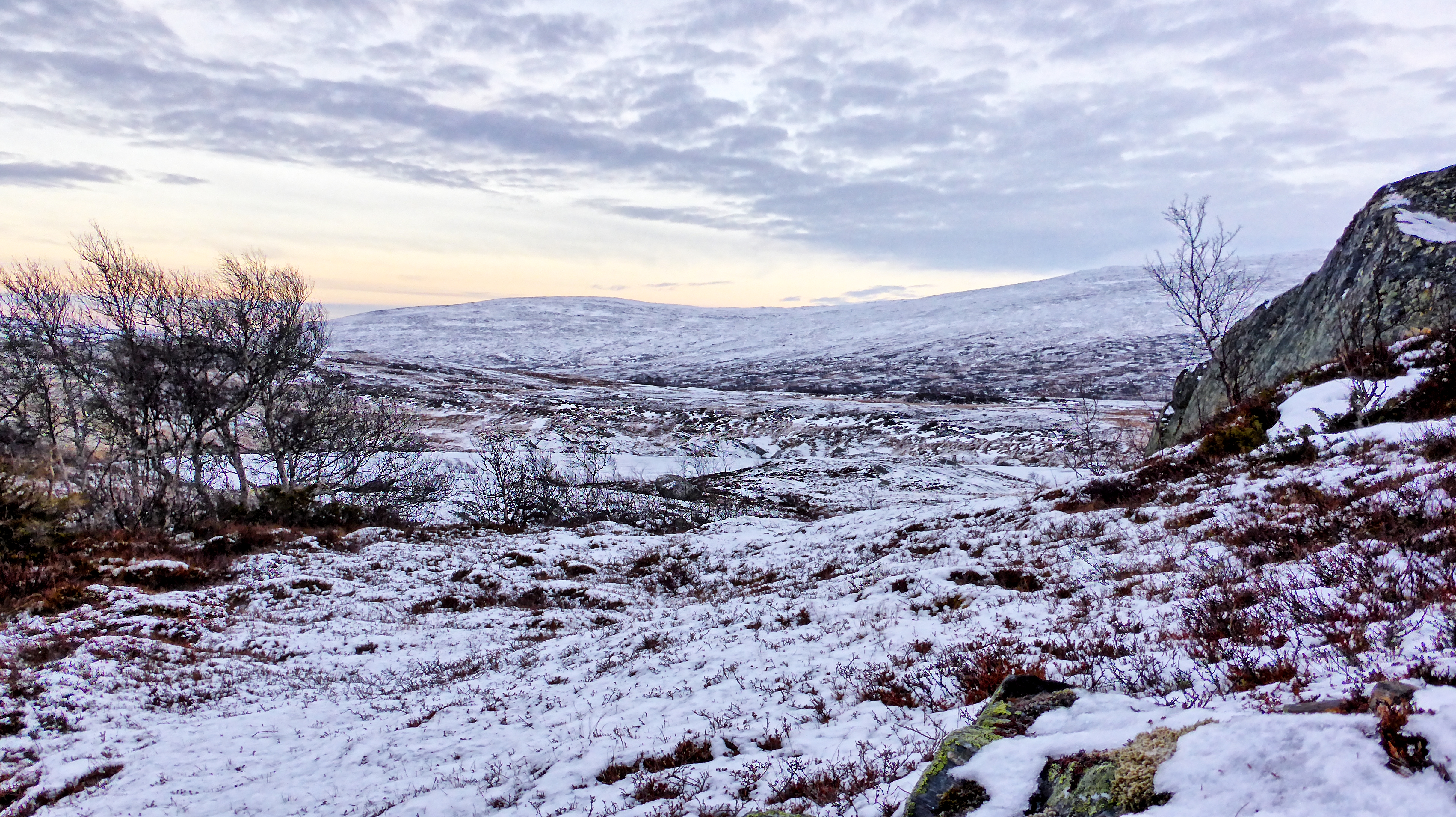
Frozen bog and pond
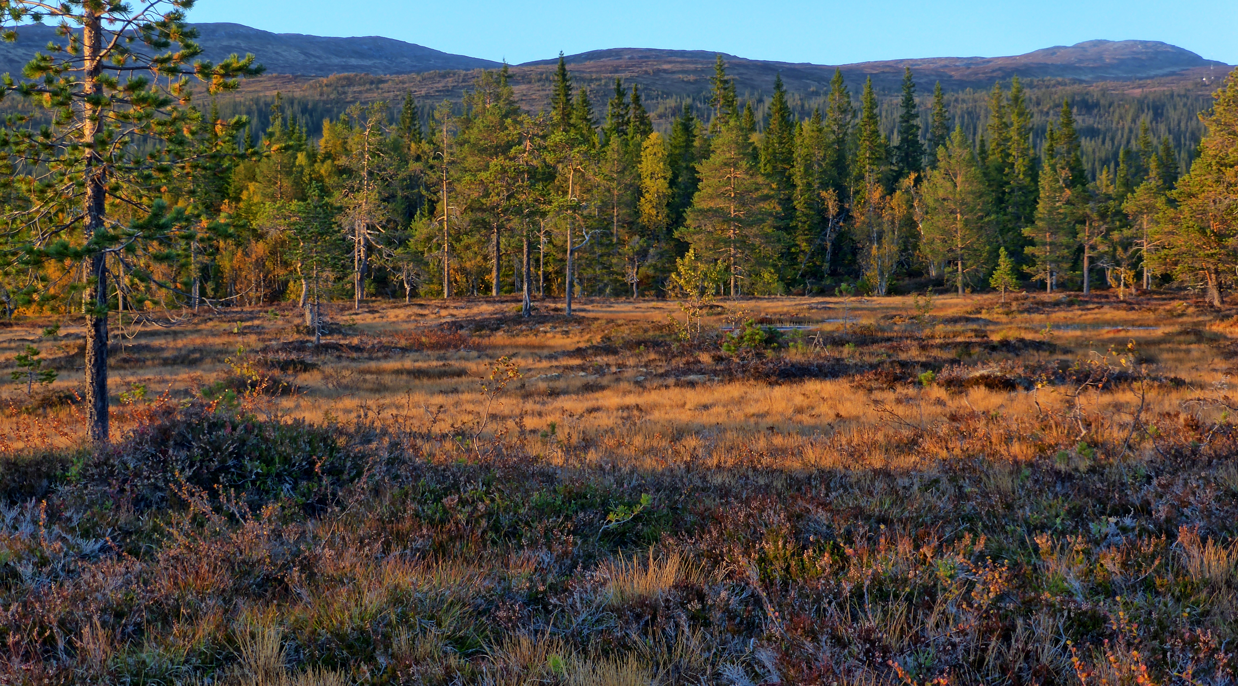
Autumn coloured bog in sunset light
Garddalstjønna
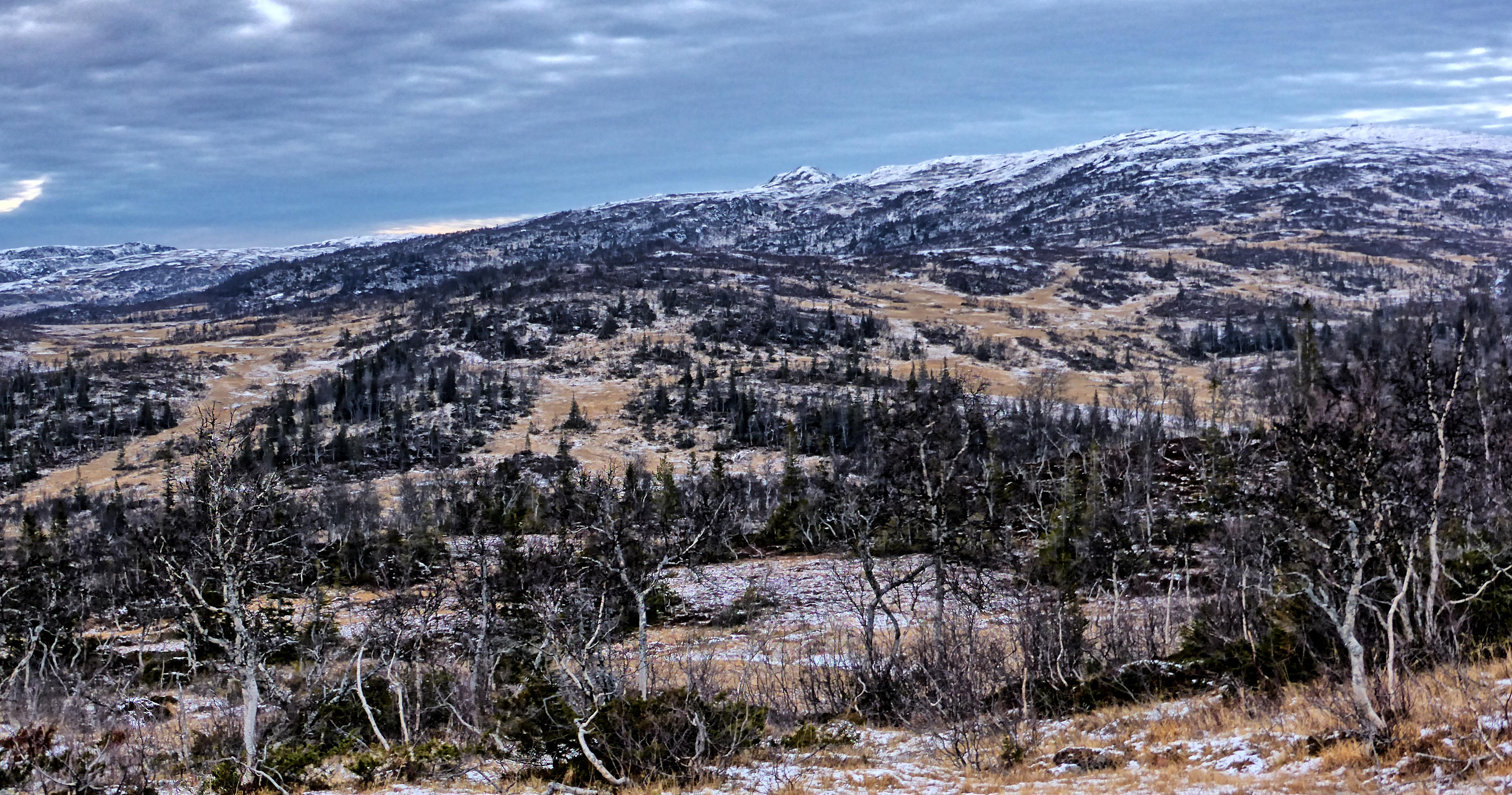
Late autumn landscape
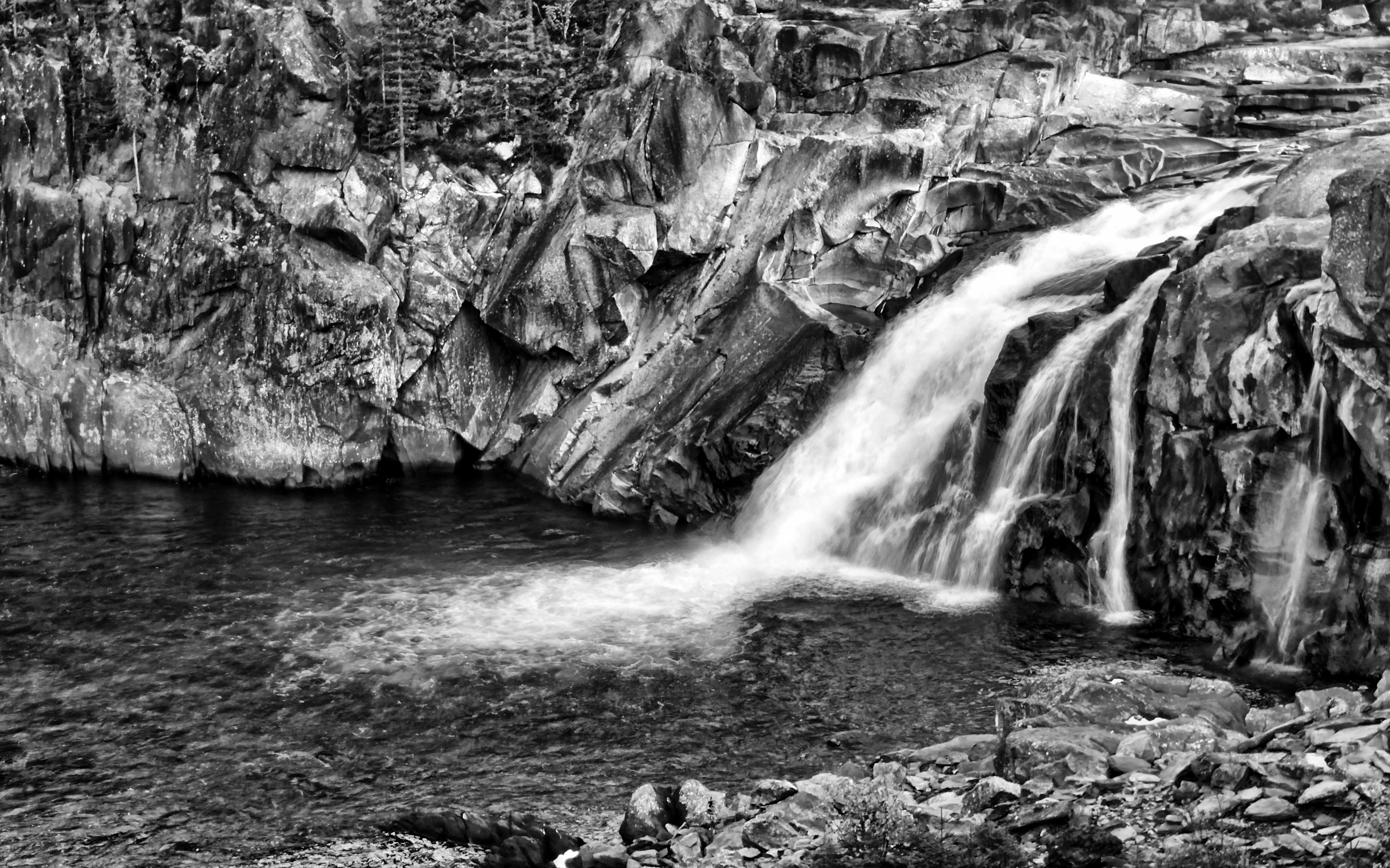
Eafossen in the river Gaula

Winter Oasis

Sunset over frozen creek
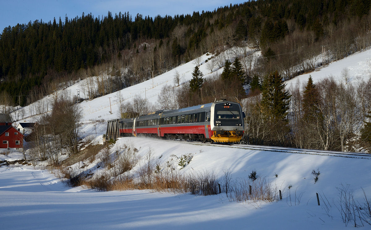
Tog 412 160218-9w Haltdalen Gåre

HDR sunset over Nålsjøen
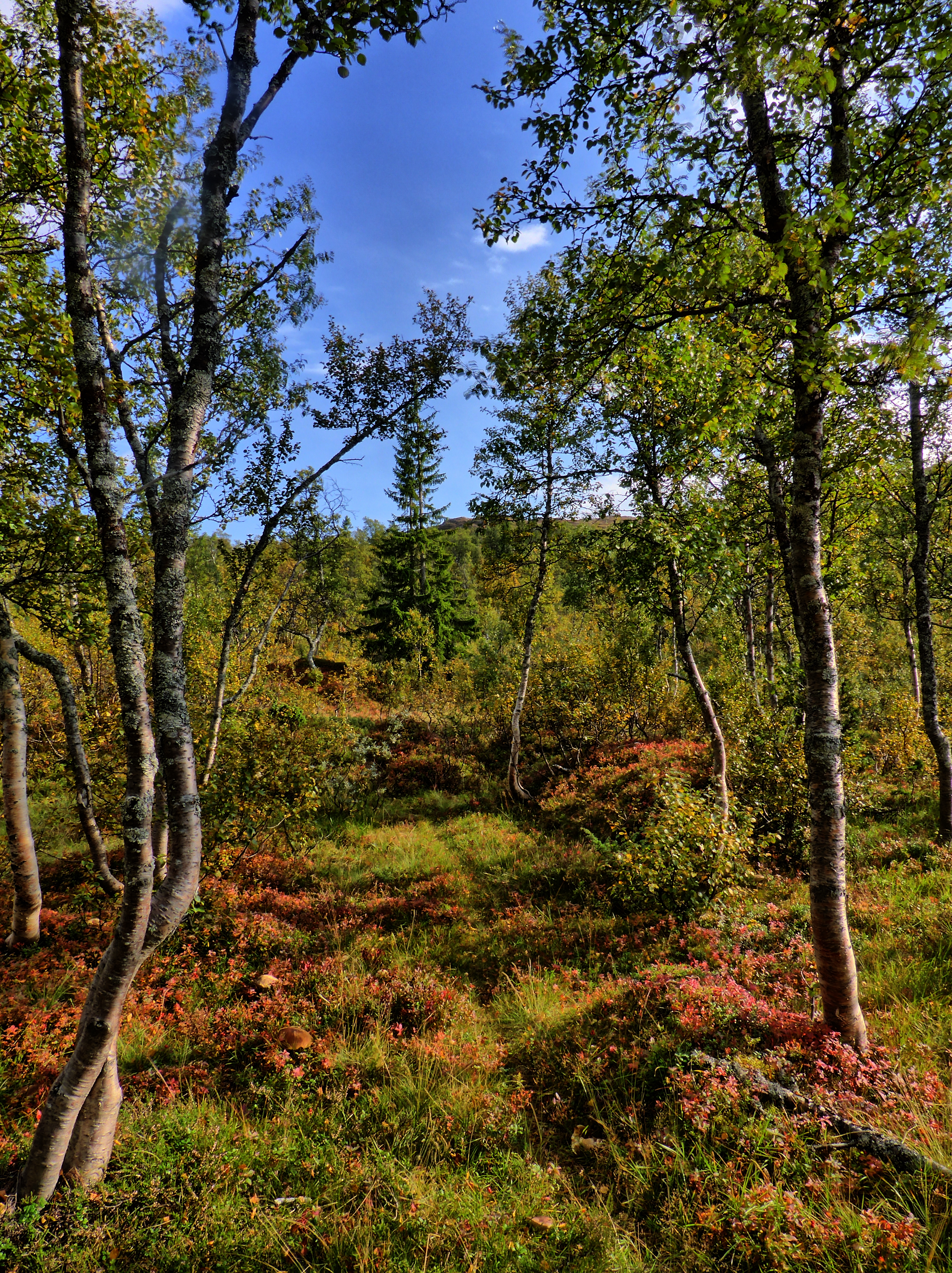
Footpath through autumn colours
Topographic Map of Holtålen, Norway
Find elevation by address:

Places in Holtålen, Norway:
Places near Holtålen, Norway:
Fv, Ålen, Norway
Haltdalen
Selbu
Fv 70, Singsås, Norway
Midtre Gauldal
Tynset
Tynset
Tynset
Smedgrindmoen, Tynset, Norway
Sor-trondelag
Melhus
Vassfjellvegen 10, Kvål, Norway
Kvikneskole
Alvdal Municipality
Loddgårdstrøa 30, Melhus, Norway
Soknedal
Rv3 10, Hanestad, Norway
Lerkeveien 35
Rv3, Rennebu, Norway
Innset
Recent Searches:
- Elevation of Leguwa, Nepal
- Elevation of County Rd, Enterprise, AL, USA
- Elevation of Kolchuginsky District, Vladimir Oblast, Russia
- Elevation of Shustino, Vladimir Oblast, Russia
- Elevation of Lampiasi St, Sarasota, FL, USA
- Elevation of Elwyn Dr, Roanoke Rapids, NC, USA
- Elevation of Congressional Dr, Stevensville, MD, USA
- Elevation of Bellview Rd, McLean, VA, USA
- Elevation of Stage Island Rd, Chatham, MA, USA
- Elevation of Shibuya Scramble Crossing, 21 Udagawacho, Shibuya City, Tokyo -, Japan