Elevation of Holly Park Cir, San Francisco, CA, USA
Location: United States > California > San Francisco County > San Francisco > Bernal Heights >
Longitude: -122.42110
Latitude: 37.7372125
Elevation: 82m / 269feet
Barometric Pressure: 100KPa
Elevation Map:
Satellite Map:
Related Photos:
My reward for not hitting the snooze button this morning.

IMG_2696-2.jpg
20101105 San Francisco 060.jpg

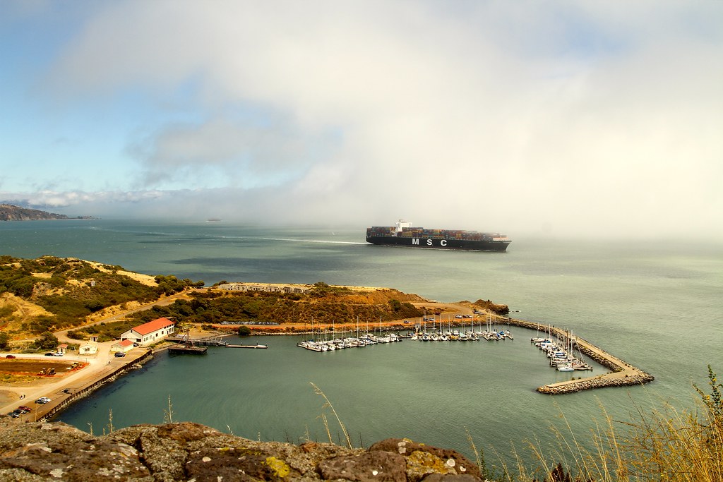
From Alcatraz

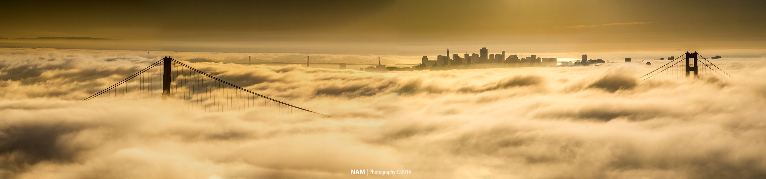
Golden Gate Fog and Moon
Gone Fishing
Reason to Hope
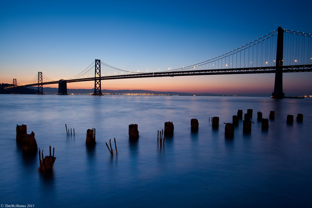
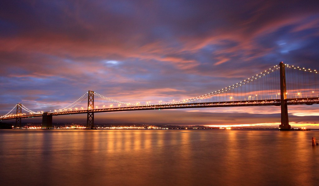
Bay Bridge at Blue Hour

Long Way Home

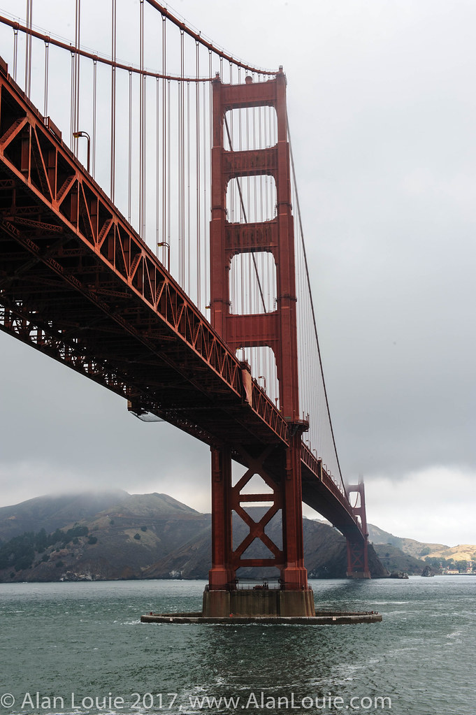
Golden Gate Light
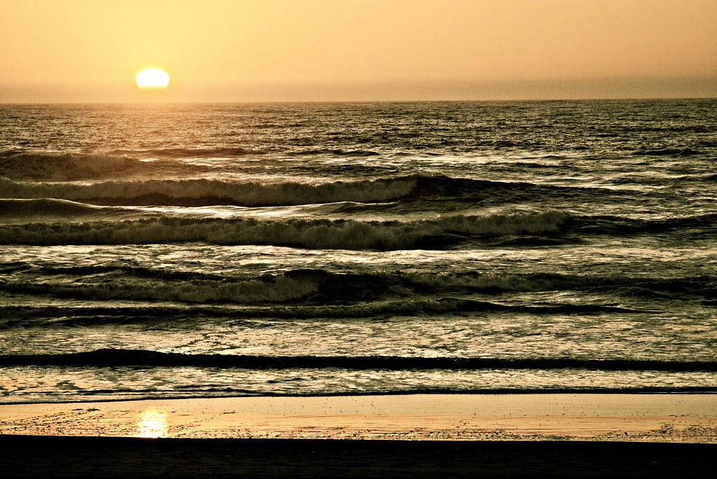
i'll be your sunset.
HORSESHOE BAY, SAUSALITO, SAN FRANCISCO, CA, USA.
GGB-Pano

#spring already?
Weather Report: 16 November
. c i r c l e s
Foghorns at the Golden Gate
Fort Point Wharf - San Francisco, California

Broken Seawall

Sunset @ Marshall Beach
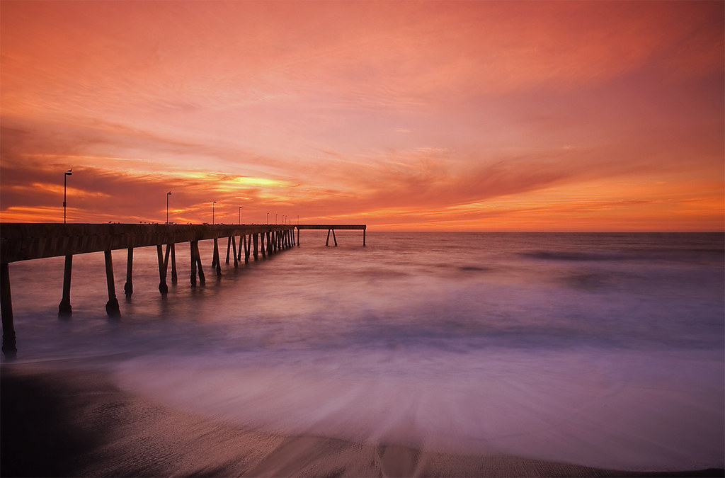
Pier to Sunset
Topographic Map of Holly Park Cir, San Francisco, CA, USA
Find elevation by address:

Places near Holly Park Cir, San Francisco, CA, USA:
Bernal Heights
162 Randall St
134 Trumbull St
160 Bemis St
240 Duncan St
1467 Shotwell St
77 Nevada St
3600 Cesar Chavez
20 Bessie St
San Francisco, CA, USA
934 Avalon Ave
734 Avalon Ave
Mission Silver Market
Excelsior
955 Excelsior Ave
Costa Street
430 Moscow St
777 Woolsey St
521 Moscow St
Silver Terrace
Recent Searches:
- Elevation of Felindre, Swansea SA5 7LU, UK
- Elevation of Leyte Industrial Development Estate, Isabel, Leyte, Philippines
- Elevation of W Granada St, Tampa, FL, USA
- Elevation of Pykes Down, Ivybridge PL21 0BY, UK
- Elevation of Jalan Senandin, Lutong, Miri, Sarawak, Malaysia
- Elevation of Bilohirs'k
- Elevation of 30 Oak Lawn Dr, Barkhamsted, CT, USA
- Elevation of Luther Road, Luther Rd, Auburn, CA, USA
- Elevation of Unnamed Road, Respublika Severnaya Osetiya — Alaniya, Russia
- Elevation of Verkhny Fiagdon, North Ossetia–Alania Republic, Russia