Elevation of Hořejší Těšov 32, 01 Hartmanice, Czech Republic
Location: Czech Republic > Plzeň Region > Klatovy District > Hartmanice > Hořejší Těšov >
Longitude: 13.4023267
Latitude: 49.1795265
Elevation: 815m / 2674feet
Barometric Pressure: 92KPa
Elevation Map:
Satellite Map:
Related Photos:

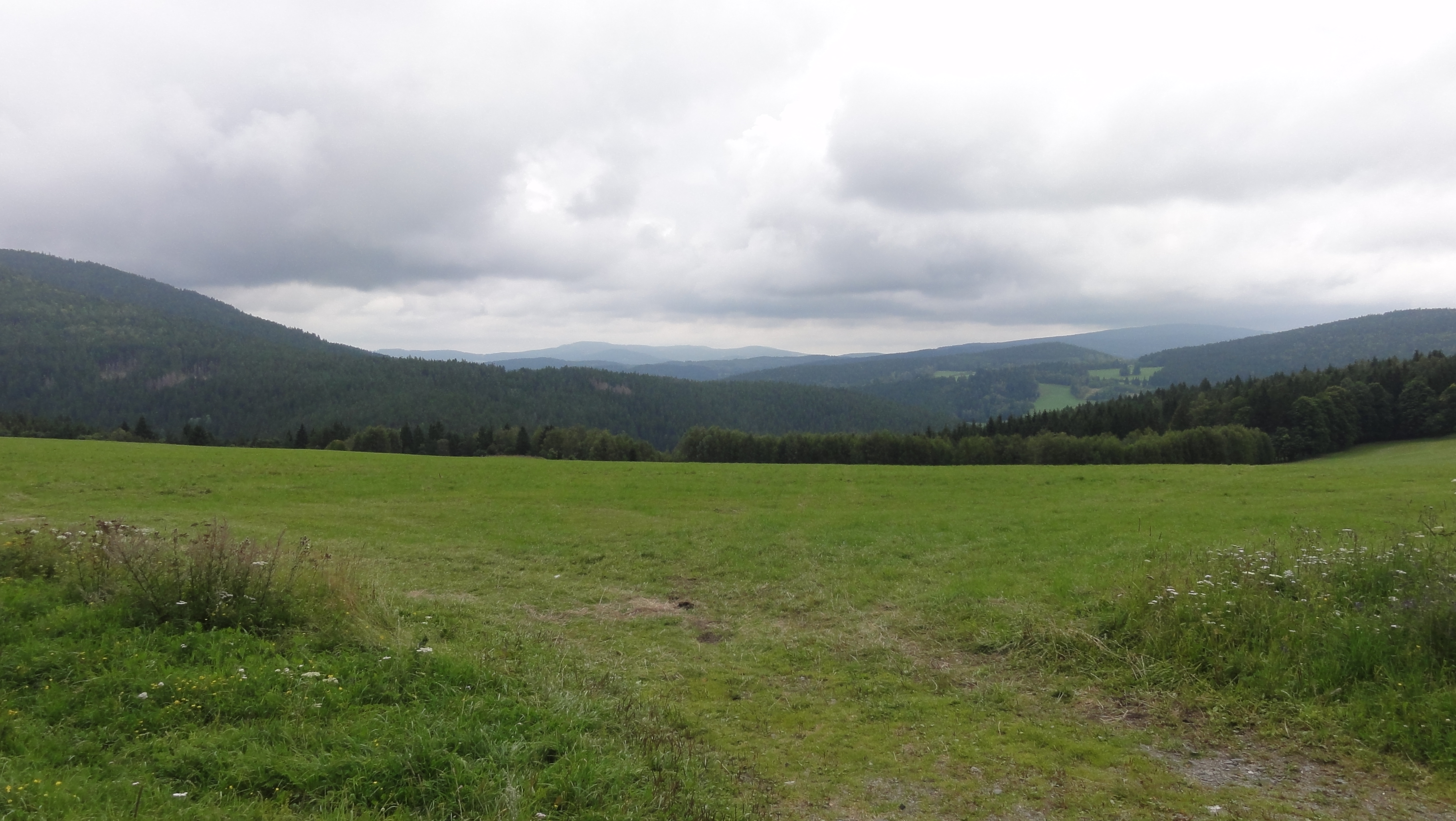
Landscape Photography

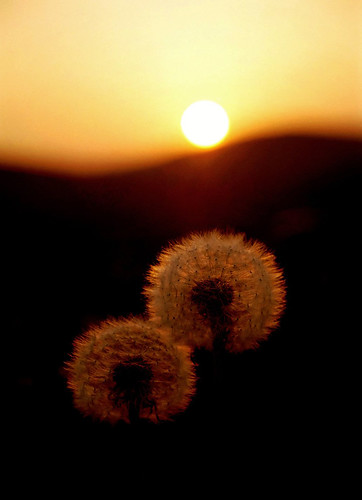
Landscape Photography
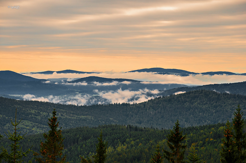
View from Špičák

Fels-Wurzler
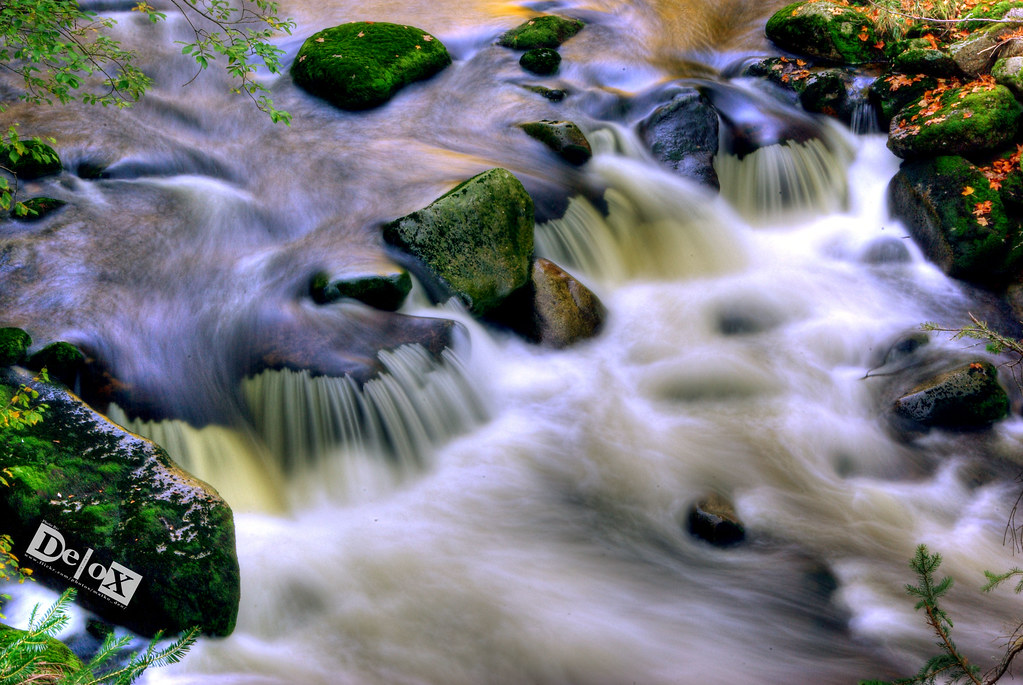
"Šumava" Cascade

Rest eines Riesen
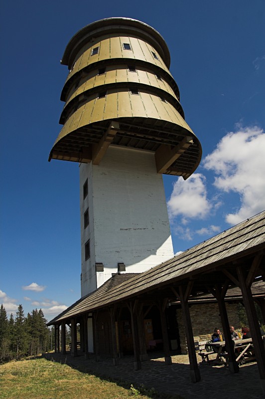
Poledník Lookout Tower
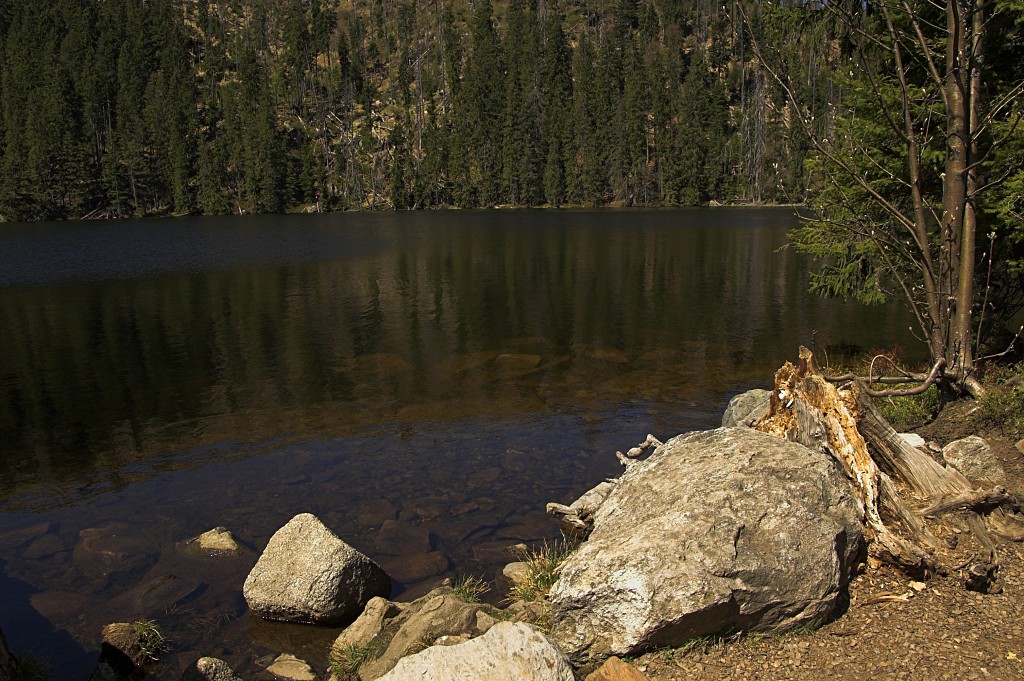
Prášilské Jezero (Prasily Lake)

Bayerisch Eisenstein 180711
coffee time view

Landscape Photography

Landscape Photography

Landscape Photography

Landscape Photography

Landscape Photography

Landscape Photography

Landscape Photography

Landscape Photography

Landscape Photography

Landscape Photography

Sunny Autumn in Šumava
Three suns

Landscape Photography

Forest River Photography

Forest Photography

Landscape Photography

Landscape Photography

Landscape Photography

Landscape Photography
Topographic Map of Hořejší Těšov 32, 01 Hartmanice, Czech Republic
Find elevation by address:

Places near Hořejší Těšov 32, 01 Hartmanice, Czech Republic:
Javoří
Javoří 6, 01 Hartmanice, Czech Republic
Hořejší Těšov
Hartmanice
Štěpanice 51, 01 Hartmanice, Czech Republic
Štěpanice
Srní
Kašperské Hory, 92 Kašperské Hory, Czech Republic
Kašperské Hory
Vchynice-tetov I
Vchynice-Tetov I 98, 92 Srní, Czech Republic
Železná Ruda
Vchynice-tetov Ii
Vchynice-Tetov II 22, 92 Modrava, Czech Republic
Modrava
Bayerisch Eisenstein
Černé Jezero
Dorfstraße 2, Bayerisch Eisenstein, Germany
Regenhütte
Zwiesel
Recent Searches:
- Elevation of Teiskontie 8, Tampere, Finland
- Elevation of Pacific View Dr, Malibu, CA, USA
- Elevation of Thorpe Cir, Thousand Oaks, CA, USA
- Elevation of Eldorado do Sul - RS, Brazil
- Elevation of Eldorado do Sul - Parque Eldorado, Eldorado do Sul - RS, -, Brazil
- Elevation of 35 Governors Ln, Hilton Head Island, SC, USA
- Elevation of Orangevale, CA, USA
- Elevation of Doe Cir, Clinton, OH, USA
- Elevation of Narhe, Pune, Maharashtra, India
- Elevation of Martins Mill Ct, Eagle Rock, NC, USA