Elevation of Hitchita, OK, USA
Location: United States > Oklahoma > Mcintosh County >
Longitude: -95.751379
Latitude: 35.5198247
Elevation: 198m / 650feet
Barometric Pressure: 99KPa
Elevation Map:
Satellite Map:
Related Photos:
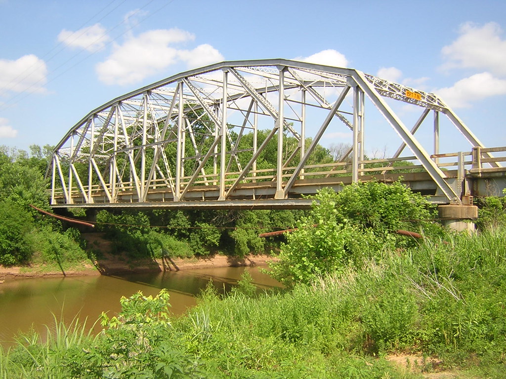
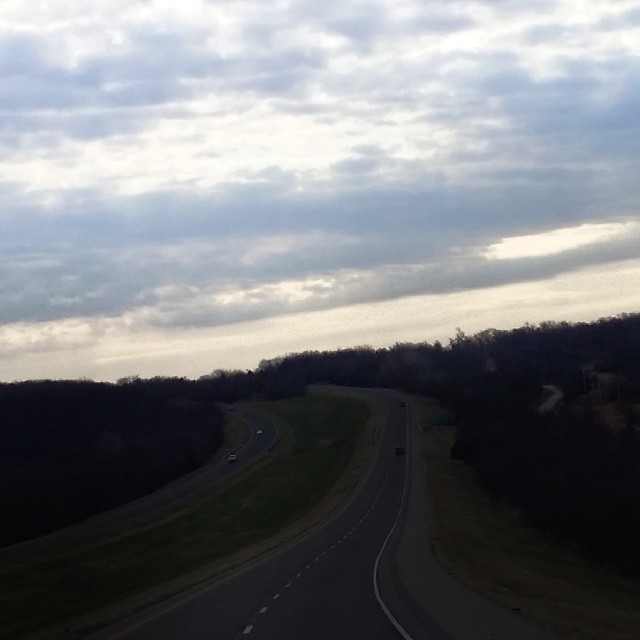
Deep Fork-Side View
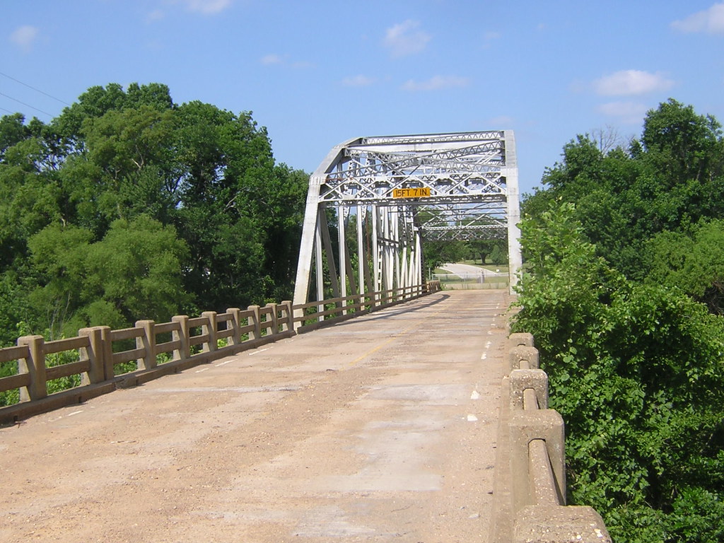
Deep Fork-Deck View

Thanksgiving at Eufaula
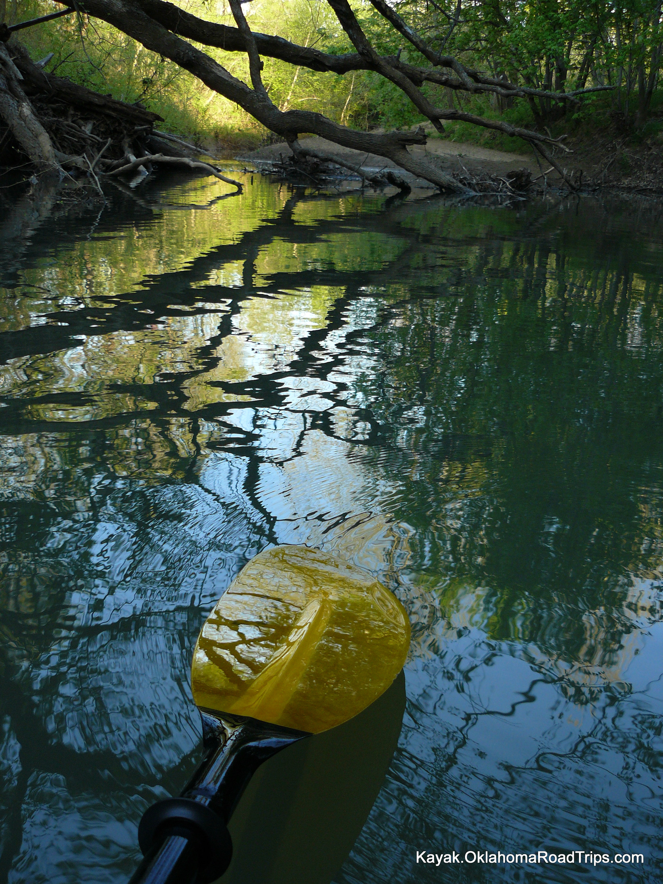
Paddle Season 2010 Begins

Golden Sunrise

Happy #motherearthday thank you for the #dandelions #flowers and #weeds #flowerstagram #weedstagram #earthday2016

Cutest backseat passenger
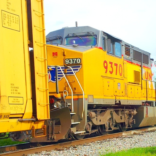
#UnionPacific #C40dash8W

#Reading my FAV magazine ~ @FAEMagazine love love love it @faeryheart. :) ♡

Rowan wool cotton 4 ply
@carrieunderwood #Checotah #Oklahoma #Trucking #today #hometown

Hot Pink Frenchy
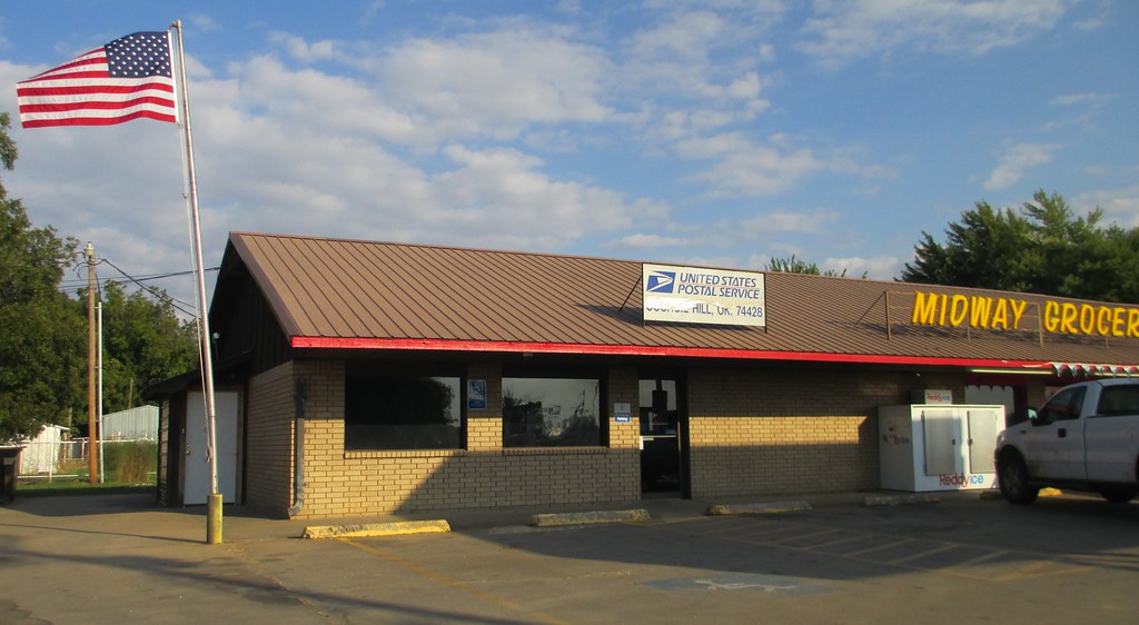
Post Office 74428 (Council Hill, Oklahoma)

Old Storefront Block (Council Hill, Oklahoma)
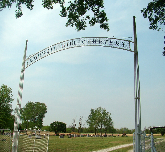
Council Hill Cemetery

Oil Storage Tank Ladder
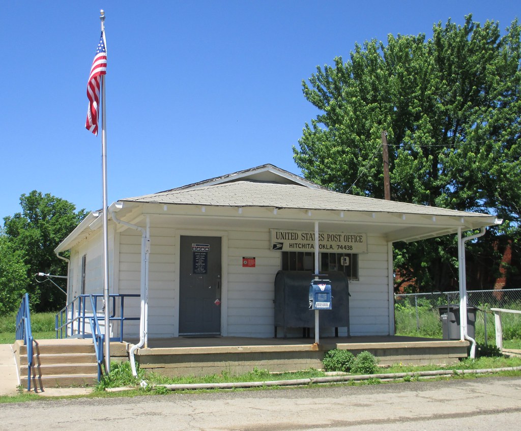
Post Office 74438 (Hitchita, Oklahoma)
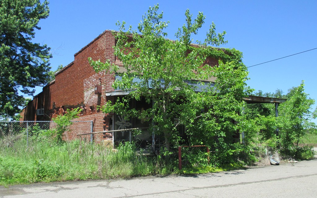
Old Storefront Building (Hitchita, Oklahoma)
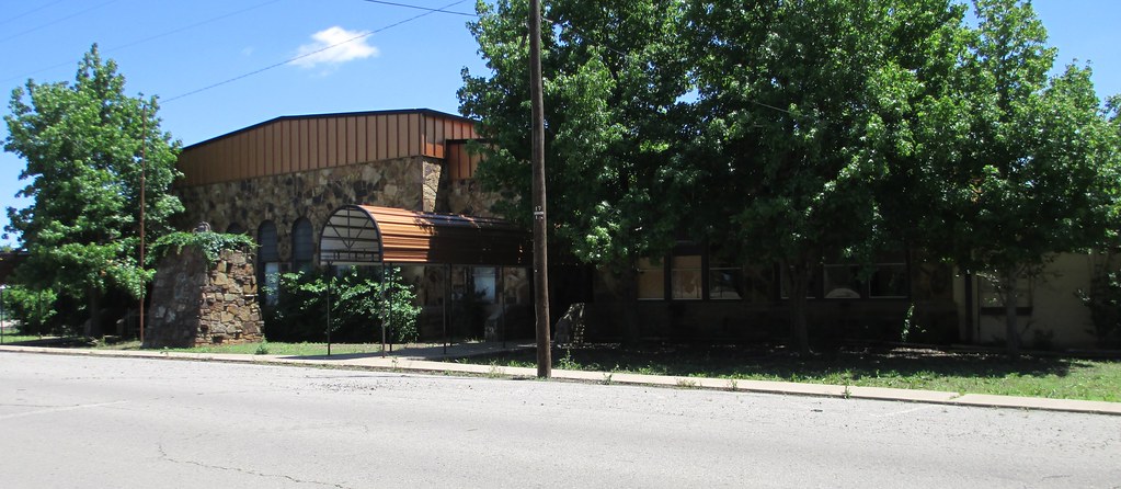
Old Hitchita School (Hitchita, Oklahoma)
Topographic Map of Hitchita, OK, USA
Find elevation by address:

Places in Hitchita, OK, USA:
Places near Hitchita, OK, USA:
Oklahoma Ave, Boynton, OK, USA
Hoffman
Hoffman
Main Blvd, Henryetta, OK, USA
Council Hill
5th, Oktaha, OK, USA
Bartlett Rd, Henryetta, OK, USA
225 W
Boynton
Mcintosh County
Robertson Hwy, Henryetta, OK, USA
19510 Herrick Rd
S Wood Dr, Okmulgee, OK, USA
Okmulgee
406474 Ok-9
Henryetta
Okmulgee County
Okmulgee County
Haskell
23530 S 306th E Ave
Recent Searches:
- Elevation of Warwick, RI, USA
- Elevation of Fern Rd, Whitmore, CA, USA
- Elevation of 62 Abbey St, Marshfield, MA, USA
- Elevation of Fernwood, Bradenton, FL, USA
- Elevation of Felindre, Swansea SA5 7LU, UK
- Elevation of Leyte Industrial Development Estate, Isabel, Leyte, Philippines
- Elevation of W Granada St, Tampa, FL, USA
- Elevation of Pykes Down, Ivybridge PL21 0BY, UK
- Elevation of Jalan Senandin, Lutong, Miri, Sarawak, Malaysia
- Elevation of Bilohirs'k