Elevation of Hillsdale Road, Hillsdale Rd, California, USA
Location: United States > California > Placer County > Meadow Vista >
Longitude: -121.02063
Latitude: 39.0187117
Elevation: 514m / 1686feet
Barometric Pressure: 95KPa
Elevation Map:
Satellite Map:
Related Photos:
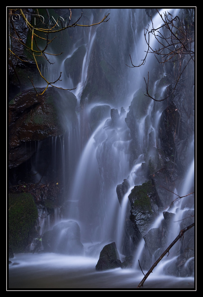
Grotto of the Falls
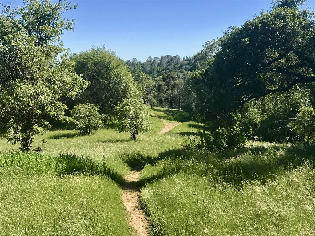
Trail View
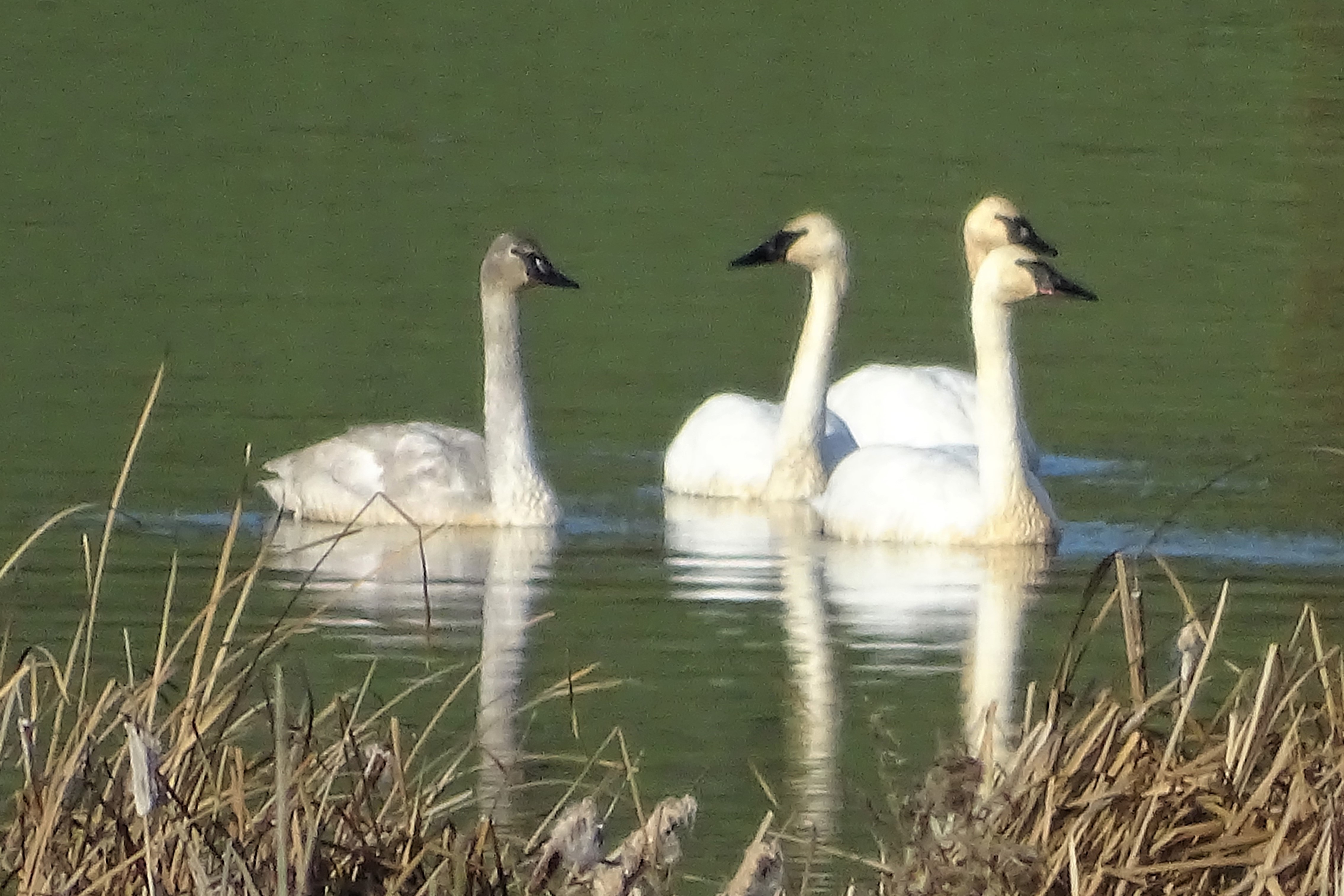
Trumpeter Swans--Cygnus buccinator
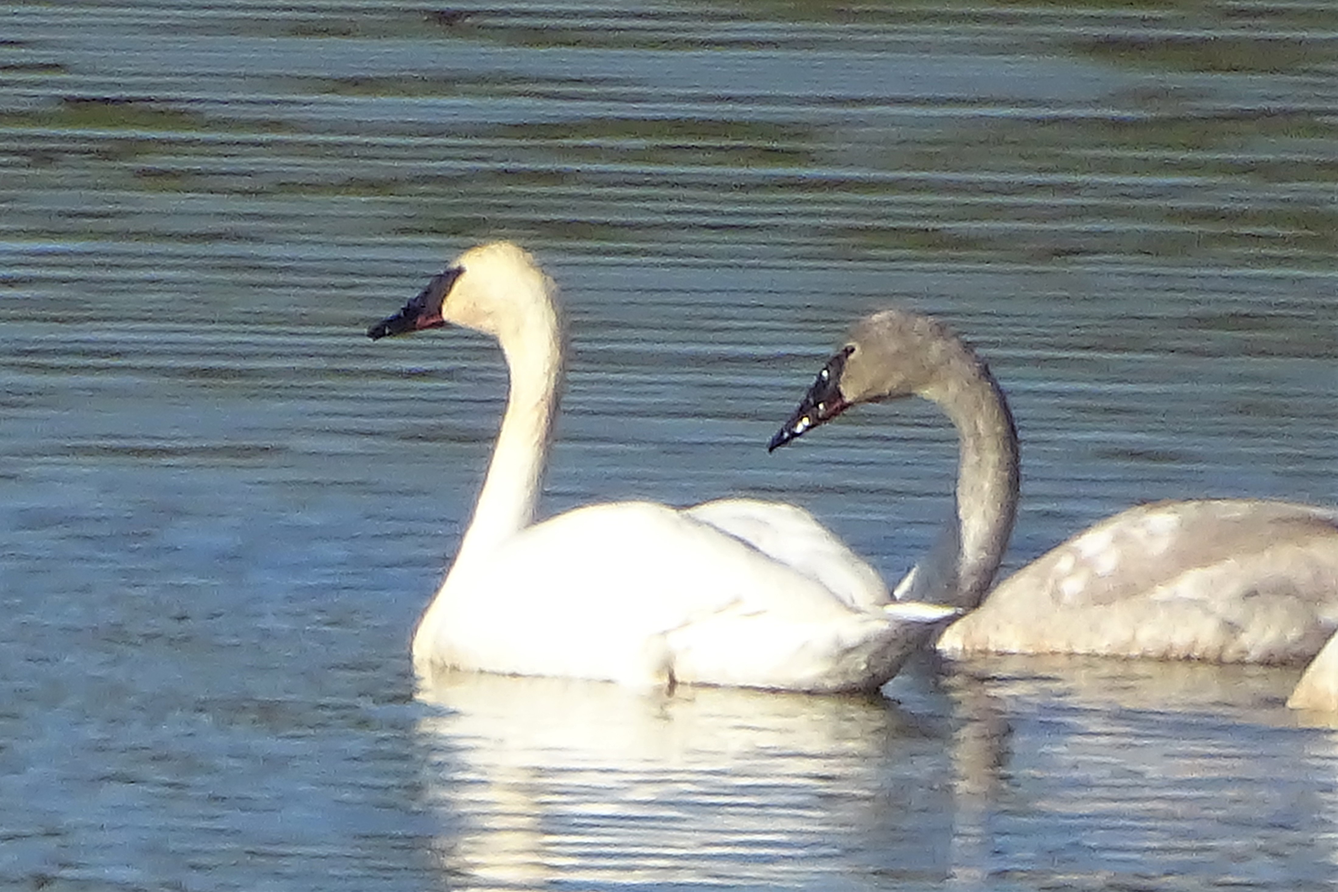
Trumpeter Swans--Cygnus buccinator
Full Sized Moon and Story 6479

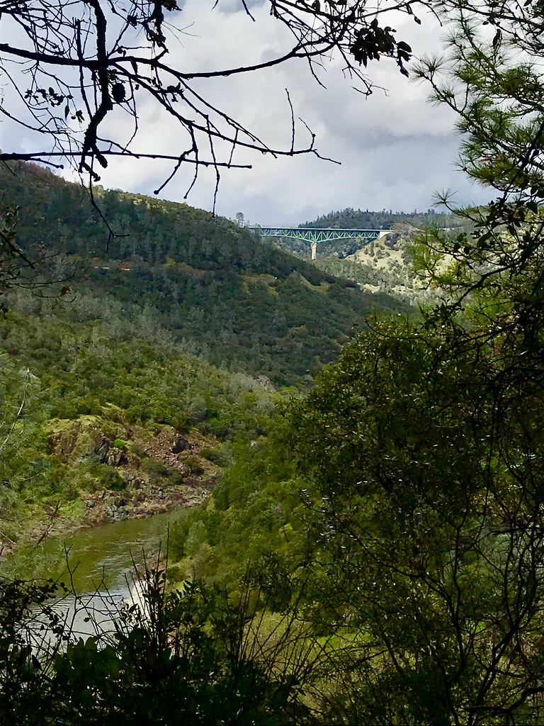
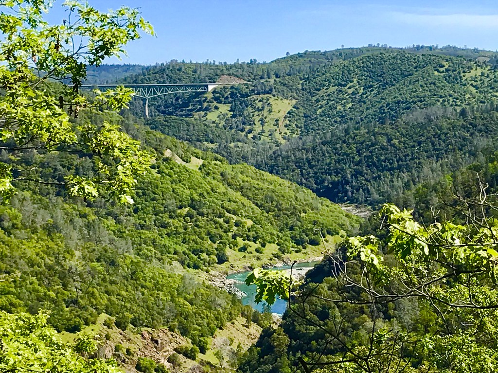
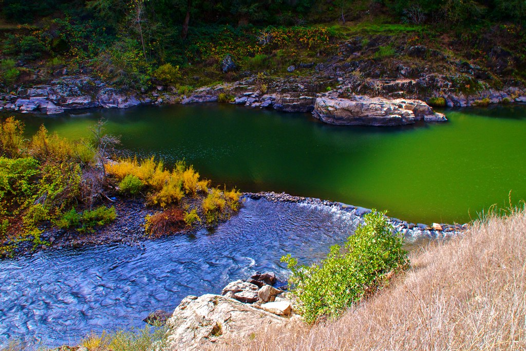
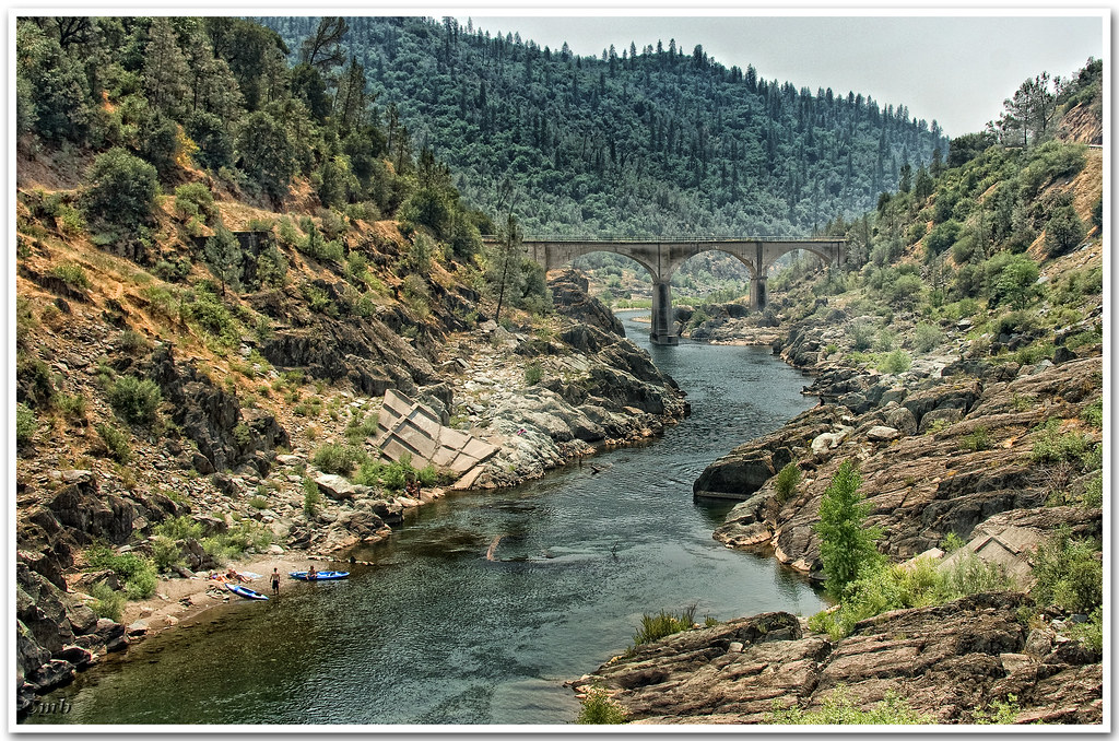
North Fork American River
Green. Blue. Good book. Good view. Perfect weather. #california #sunshine #view #peace #quiet
Mountain View
Courthouse View
Canyon View Preserve
From the Gold Country

Best rear view ever

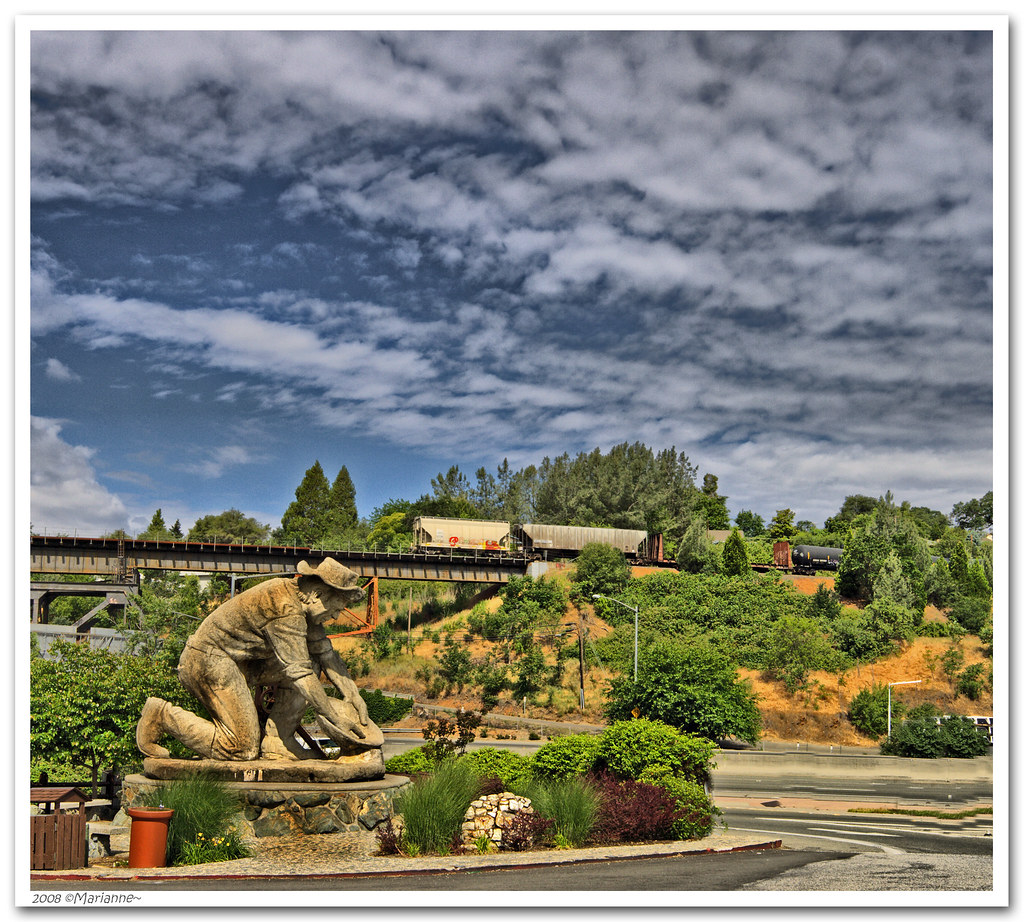
The Auburn Courthouse
View towards east abutment
Upstream View
North Fork of American River

Couple-2059
Scenes from Placer County
Aerial Views - Clouds above Auburn

Historic Placer County Courthouse

Greyhound 6909 Colfax (MCI 102DL3)

Falling Away
Down By the River

Yankee Jim's Waterfall
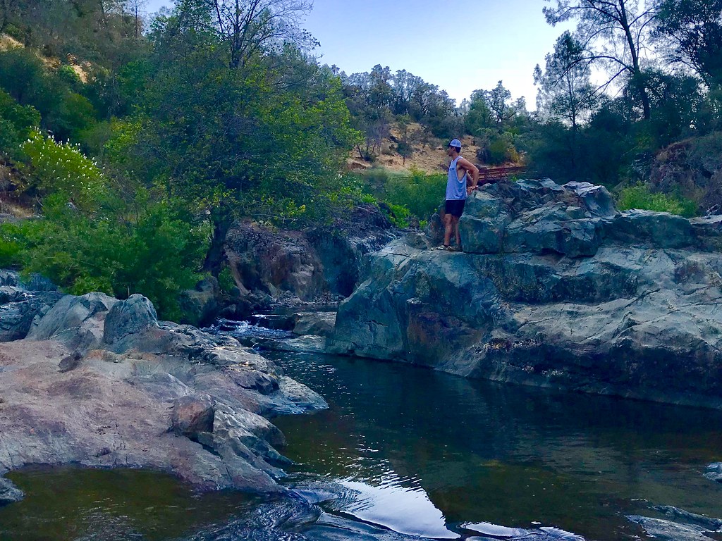
Bryan on the Rocks
No Hands Bridge

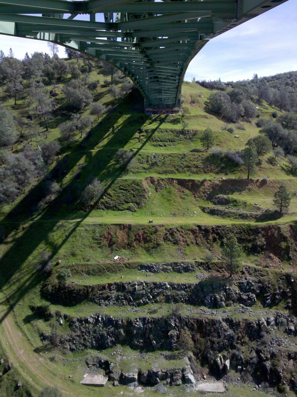
Cool Quarry
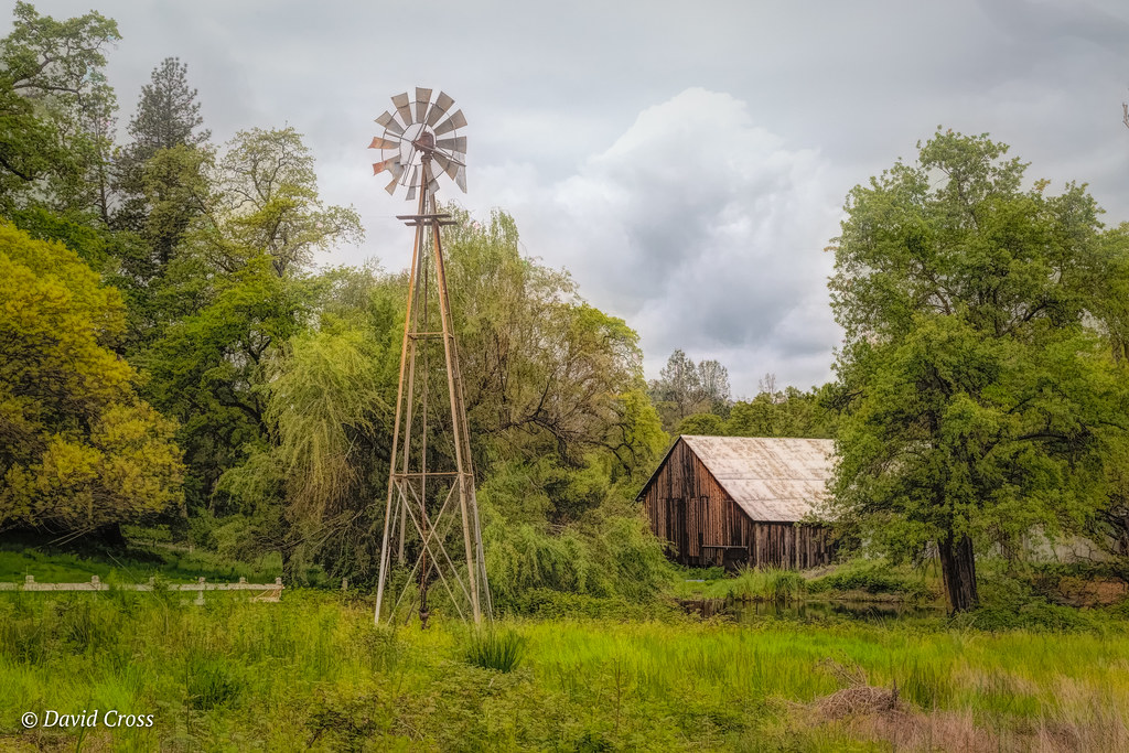
Down on the Farm
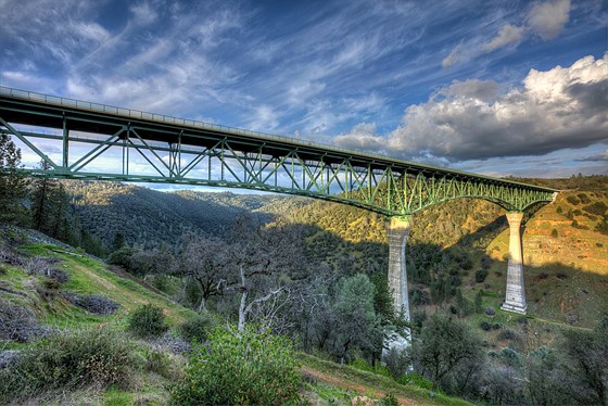
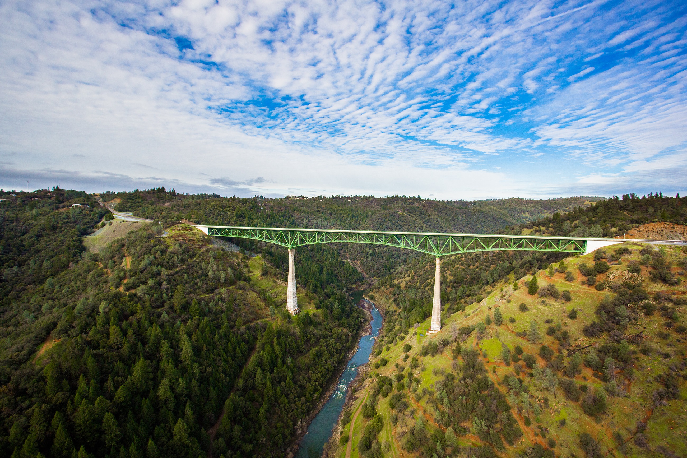
Forresthill Bridge
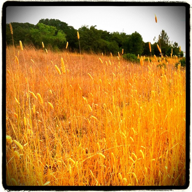
Amber waves
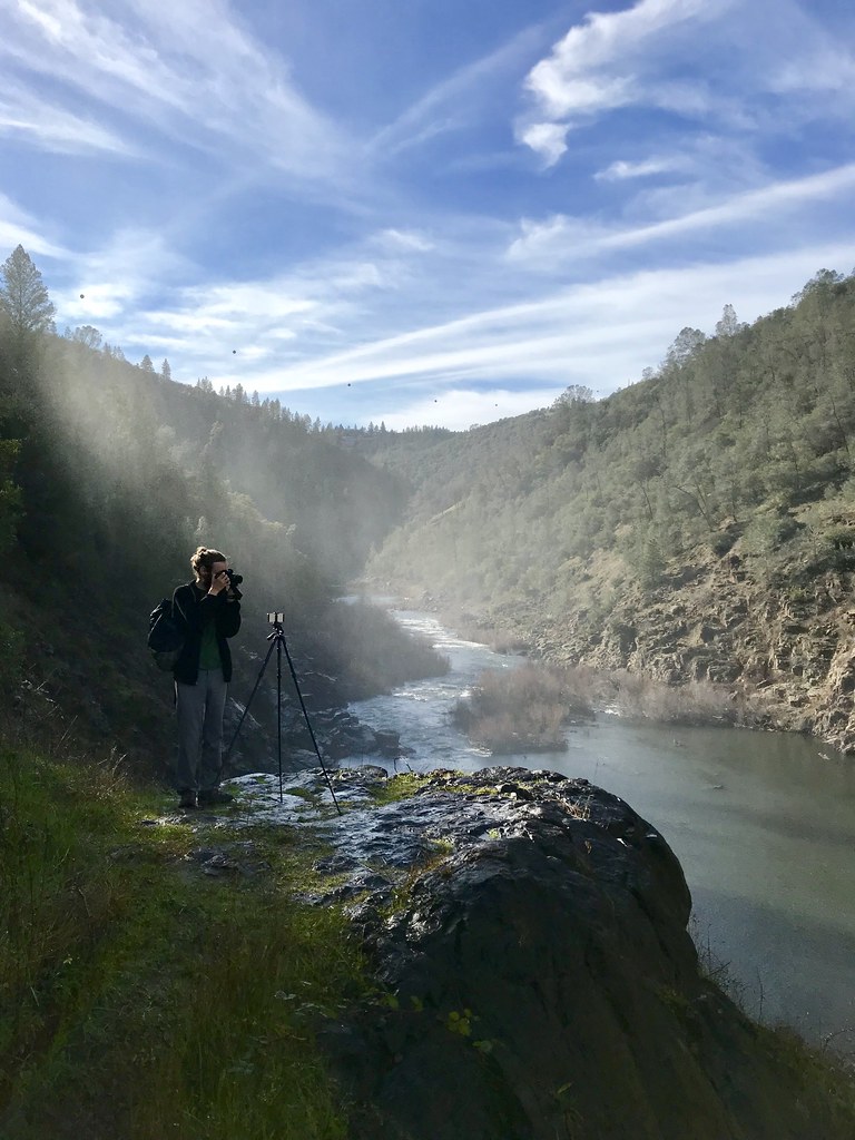
North Fork Photo Op
Foresthill Bridge
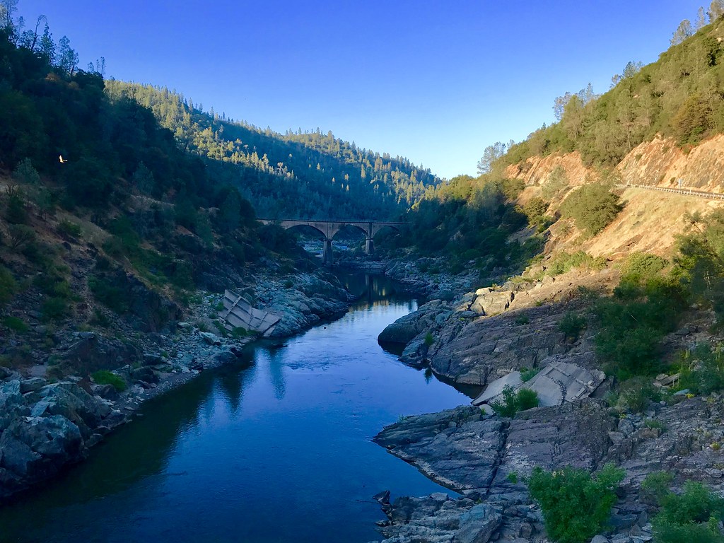
Morning on the American

Devil's Falls (Grunge)
Pines Peaking Through
Hidden Falls

Hidden Falls
On Belay
Trail Tree

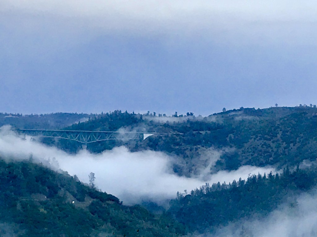
Canyon Clouds
Topographic Map of Hillsdale Road, Hillsdale Rd, California, USA
Find elevation by address:

Places near Hillsdale Road, Hillsdale Rd, California, USA:
2002 Oxbow Ct
929 Dunrovn Pl
Meadow Vista
871 Meadow Gate Rd
2330 Volley Rd
16818 Tudor Ln
446 Golden Oak Ln
18890 Blackberry Ln
1515 Meadow Vista Rd
255 Meadow Gate Rd
125 Crother Rd
719 Cole Rd
Applegate
1530 Ridgemore Dr
1535 Ridgemore Dr
Heather Glen
Winchester Country Club - Sales Office
The Point
90 Edelweiss Ln, Colfax, CA, USA
1431 Lodge View Dr
Recent Searches:
- Elevation of Woolwine, VA, USA
- Elevation of Lumagwas Diversified Farmers Multi-Purpose Cooperative, Lumagwas, Adtuyon, RV32+MH7, Pangantucan, Bukidnon, Philippines
- Elevation of Homestead Ridge, New Braunfels, TX, USA
- Elevation of Orchard Road, Orchard Rd, Marlborough, NY, USA
- Elevation of 12 Hutchinson Woods Dr, Fletcher, NC, USA
- Elevation of Holloway Ave, San Francisco, CA, USA
- Elevation of Norfolk, NY, USA
- Elevation of - San Marcos Pass Rd, Santa Barbara, CA, USA
- Elevation of th Pl SE, Issaquah, WA, USA
- Elevation of 82- D Rd, Captain Cook, HI, USA