Elevation of Hillrose St, Tujunga, CA, USA
Location: United States > California > Los Angeles County > Los Angeles > Shadow Hills > Tujunga >
Longitude: -118.28943
Latitude: 34.2630597
Elevation: 538m / 1765feet
Barometric Pressure: 95KPa
Elevation Map:
Satellite Map:
Related Photos:
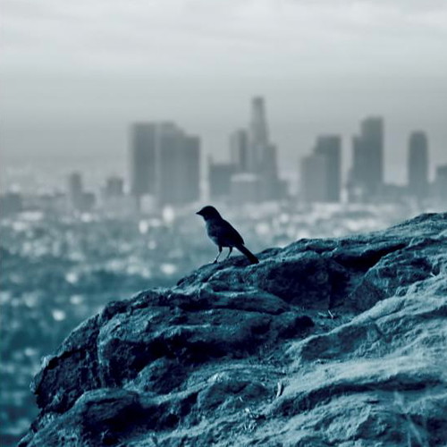
Bokeh City
Bugs-eye view of the Rose Bowl

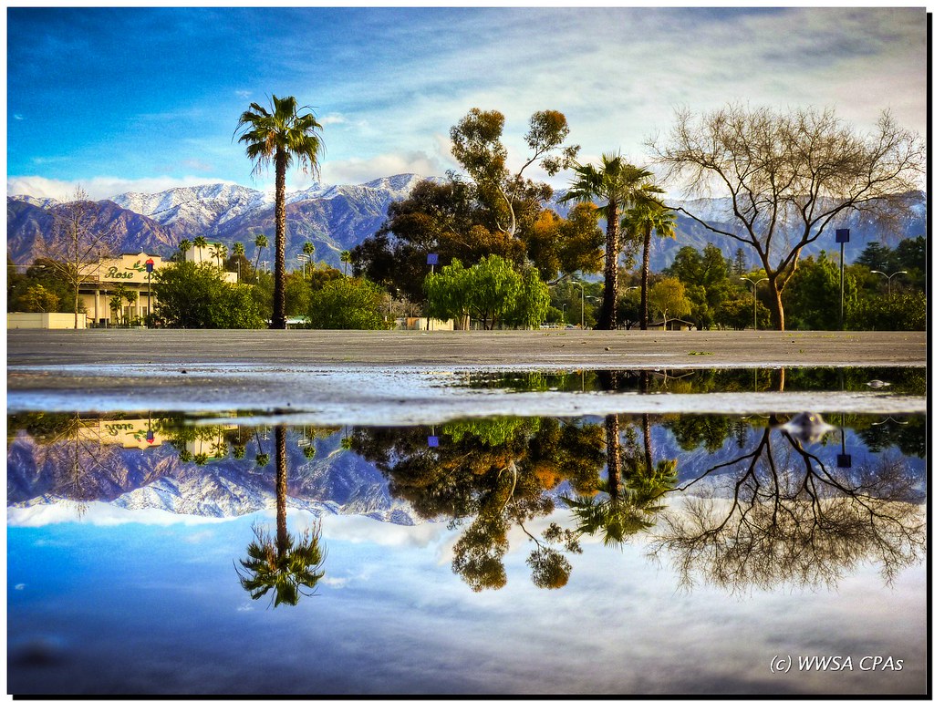
Reflexion......

Breathing Room

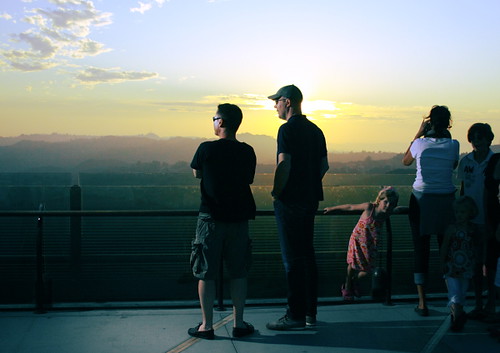
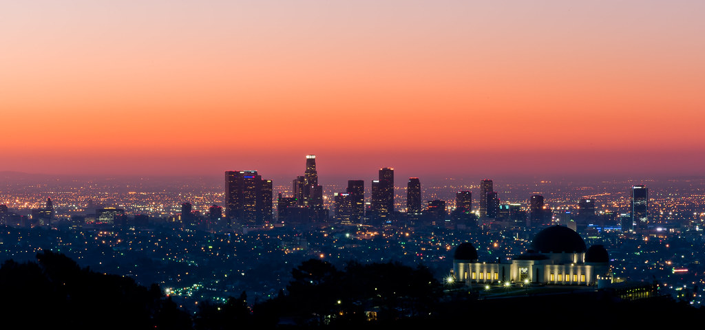
Los Angeles at sunset
Griffith Park
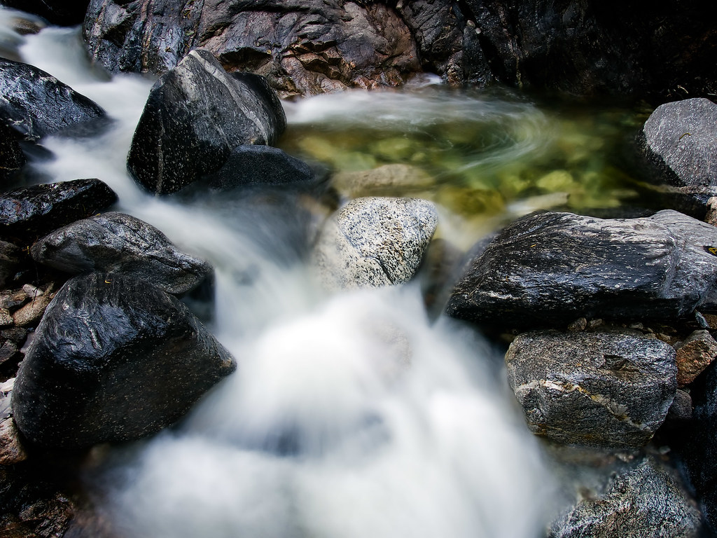
The Warm Eddie
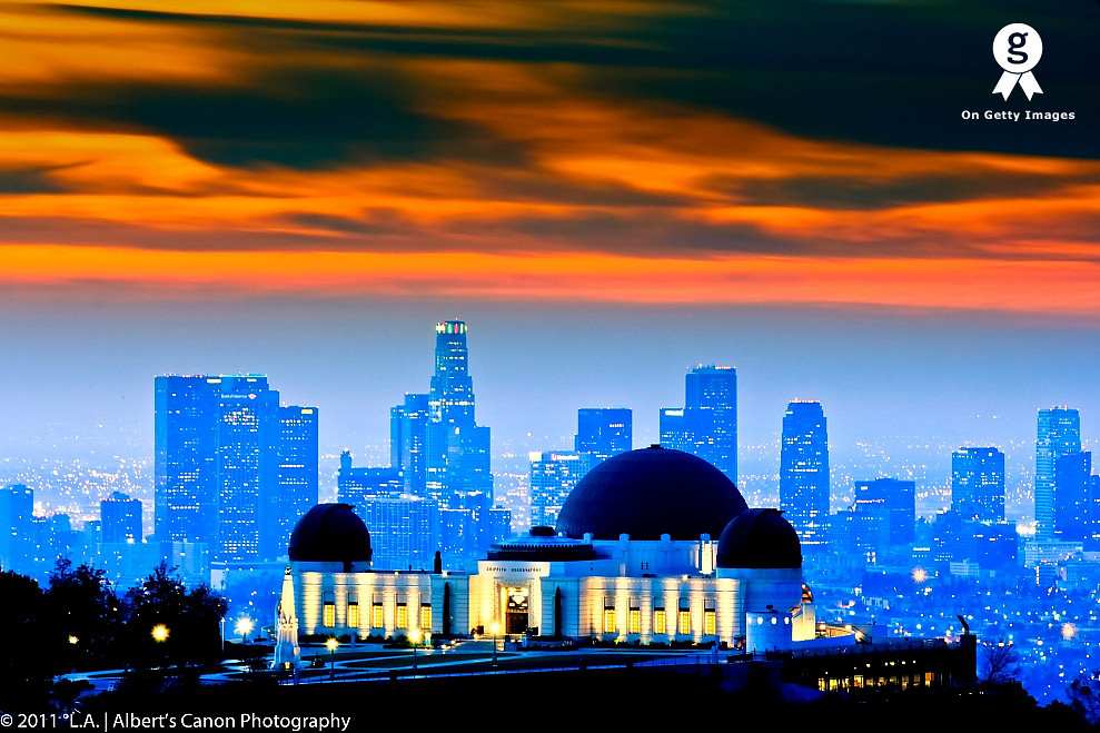
Observatory At Dawn
Fire in the LA Sky

Blue hour morning in LA!
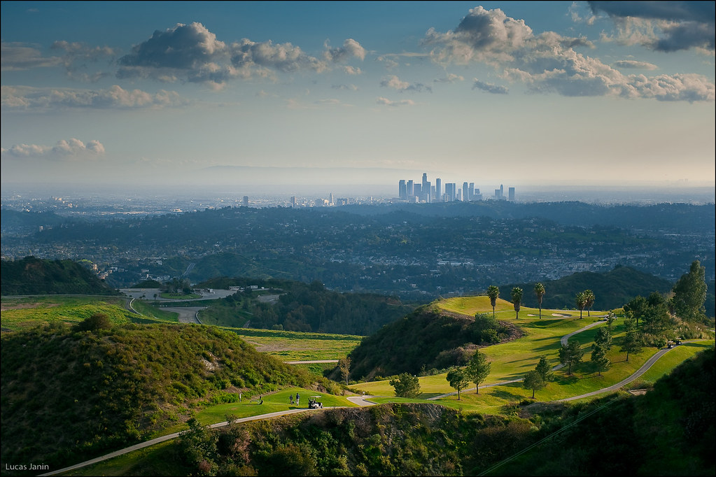
Golf at Los Angeles

City of the Lost Angels
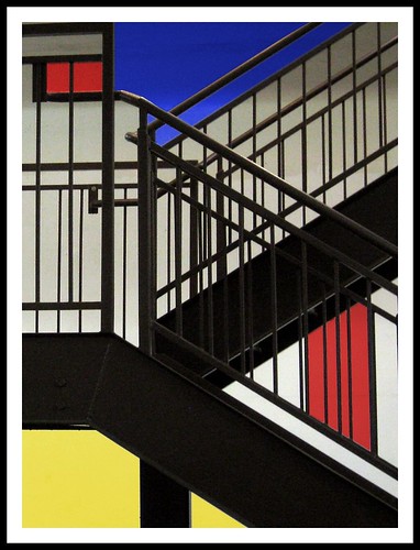
Mondrian Stairs
Griffith Observatory
Griffith Observatory

Hollywood Hills

Looking Over LA

Los Angeles
You're So Vane!

Ocean of lights
Destination "Awesome"
Topographic Map of Hillrose St, Tujunga, CA, USA
Find elevation by address:

Places near Hillrose St, Tujunga, CA, USA:
7230 Chetwood Dr
10611 Fitzroy Ave
10831 Sevenhills Dr
10510 Commerce Ave
10463 Samoa Ave
Tujunga
10771 Owens Pl
10931 Hillhaven Ave
10811 Owens Pl
10951 Hillhaven Ave
10834 Owens Pl
7010 Summitrose St
10314 Samoa Ave
10348 Wilsey Ave
7628 Le Berthon St
10145 Mountair Ave
7640 Wentworth St
7711 Forsythe St
6829 Day St
9925 Commerce Ave
Recent Searches:
- Elevation of Martins Mill Ct, Eagle Rock, NC, USA
- Elevation of Kippen, Stirling FK8, UK
- Elevation of Sieveringer Straße, Sieveringer Str., Wien, Austria
- Elevation of Bratskaya Ulitsa, 24, Kurgan, Kurganskaya oblast', Russia
- Elevation of Paradisvegen, Biri, Norway
- Elevation of Crystal Cir, Birmingham, AL, USA
- Elevation of N Railroad Ave, West Palm Beach, FL, USA
- Elevation of 55 Cassick Valley Rd, Wellfleet, MA, USA
- Elevation of Ironwood Dr, Minden, NV, USA
- Elevation of 高尾山口駅, Takaomachi, Hachioji, Tokyo -, Japan