Elevation of Hill Rd, Bethel, VT, USA
Location: United States > Vermont > Windsor County > Bethel >
Longitude: -72.615058
Latitude: 43.7351575
Elevation: 440m / 1444feet
Barometric Pressure: 96KPa
Elevation Map:
Satellite Map:
Related Photos:
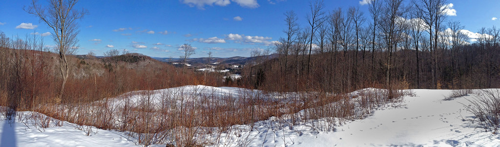
Foliage Frame

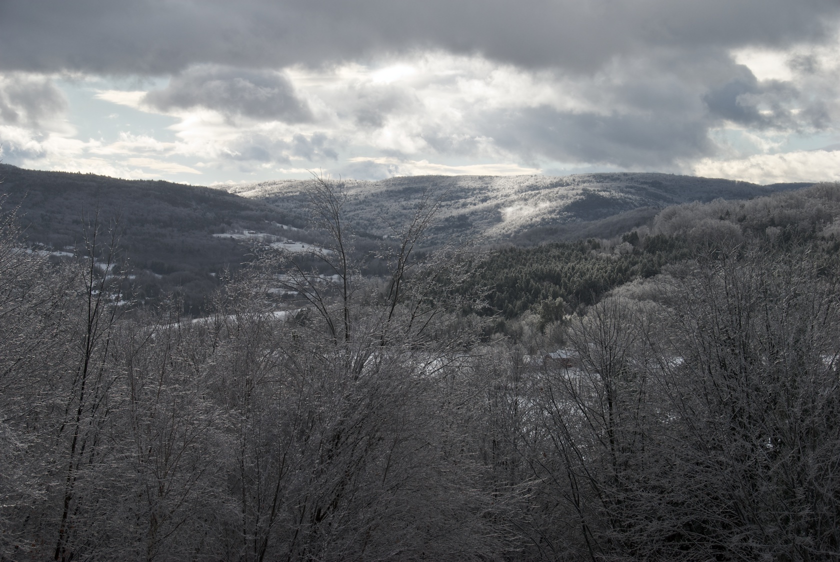
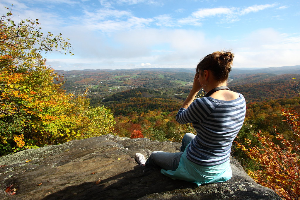
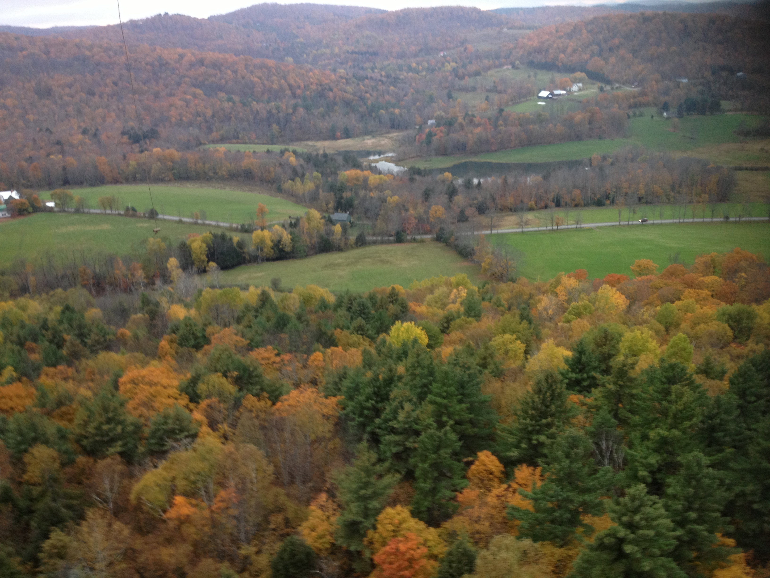
Autunm in Vermont

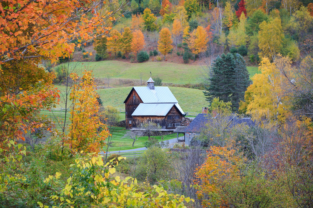
[... sleepy hollow farm]
Room with an Autumnal View

The Light at the End of the Tunnel

Yellow Caterpillar; Orgyia definita?

May your trails be crooked, winding, lonesome, dangerous, leading to the most amazing view. May your mountains rise into and above the clouds. ~ Edward Abbey Brazilian Quartz Point Shop link in profile Namasté -------#healing #healingcrystals #healings
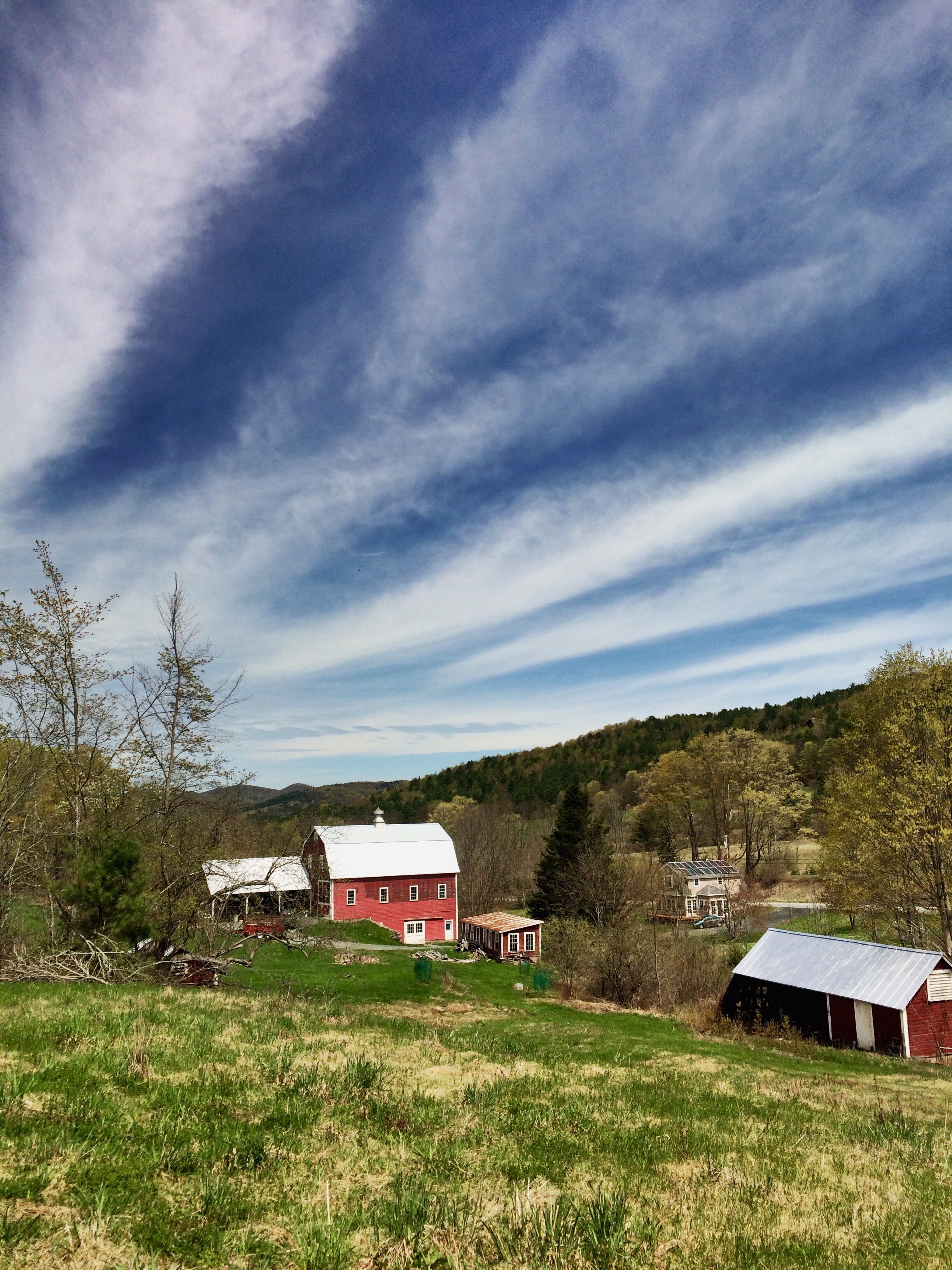
Piedmont Farm
View West from Deck
Views from the Bogburn

Cleansing Breath

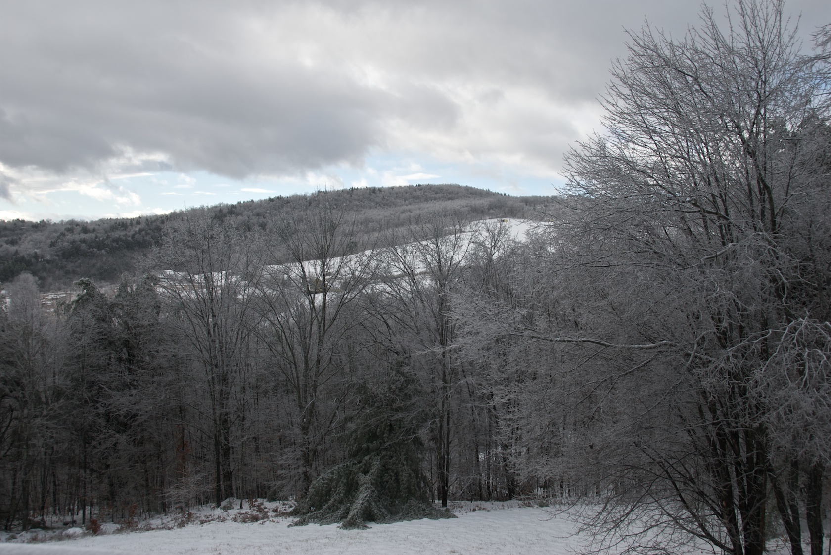
Mount Peg

View South from Deck (Telephoto)
View South from Deck

Nearing The Ledge
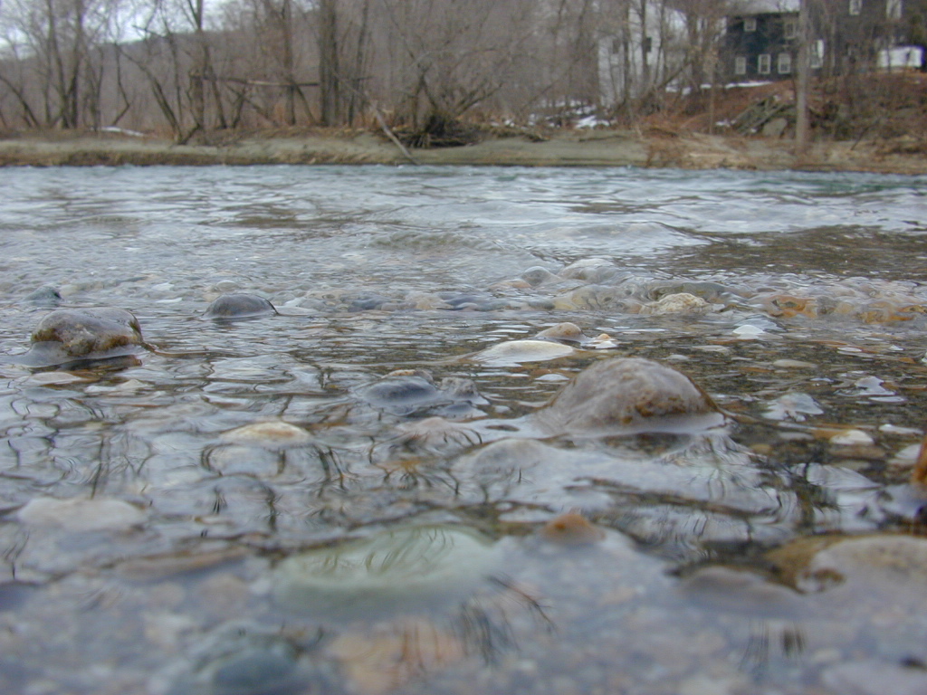
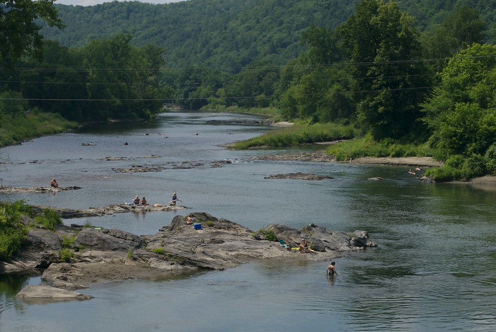
River-level view
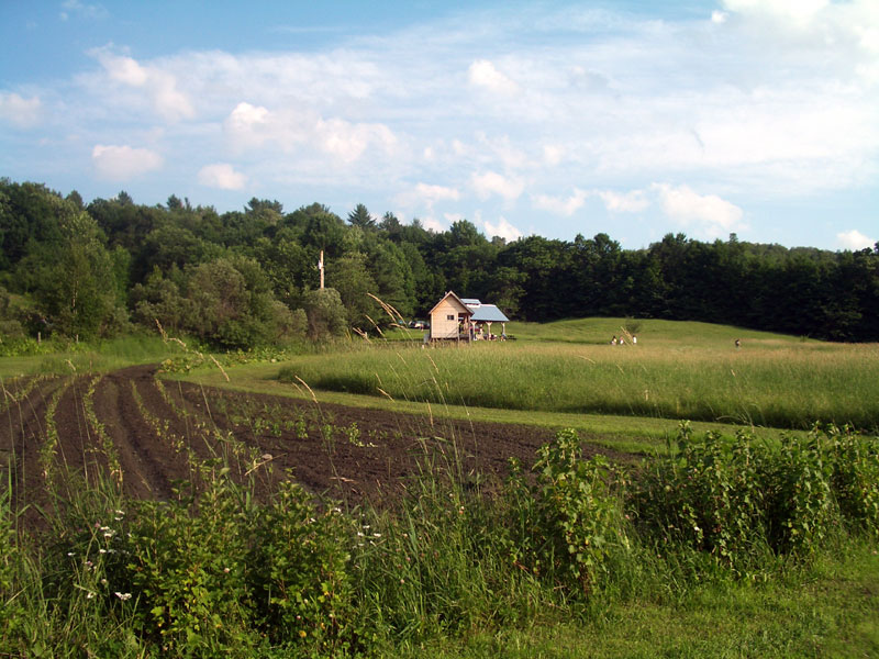
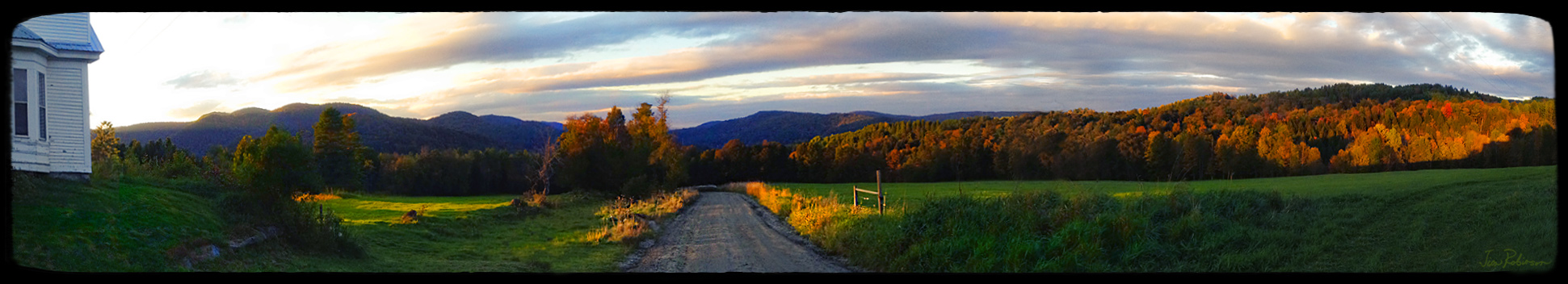
Uphill View of the Farm
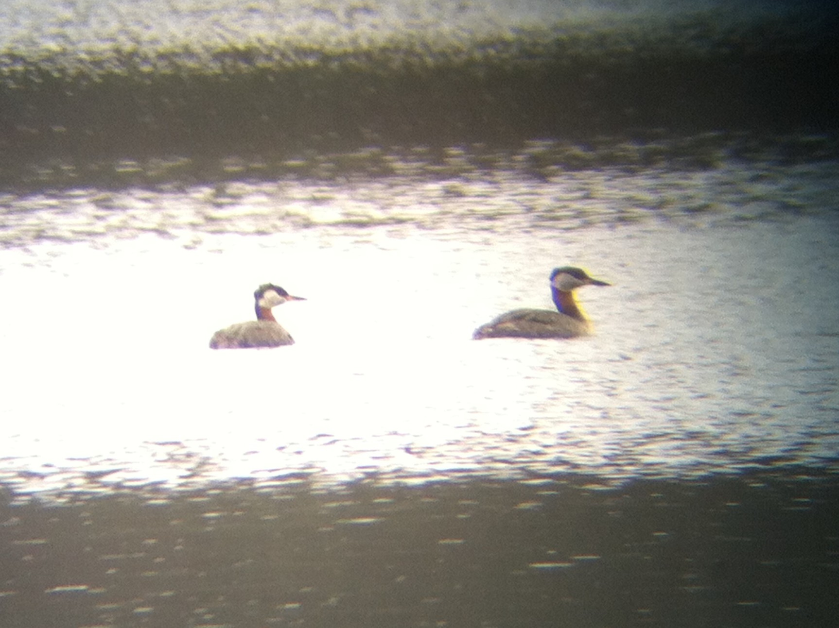
Red-necked Grebe, Silver Lake, Barnard, VT, 26-Apr-2014
Taking A Picture Up On Kent's Ledge
View West from Deck (Telephoto)
White River Summer
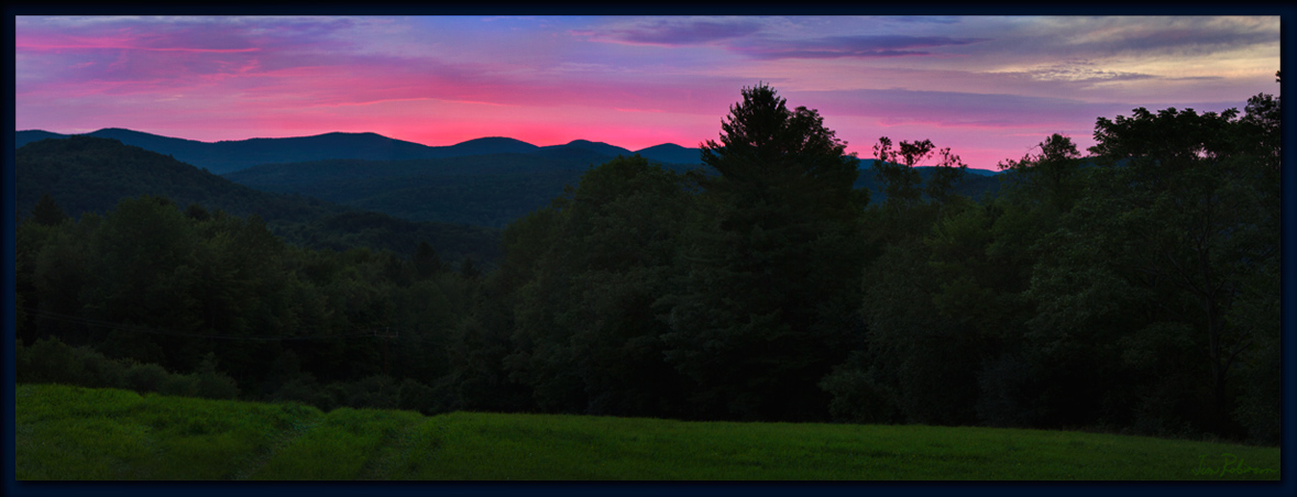
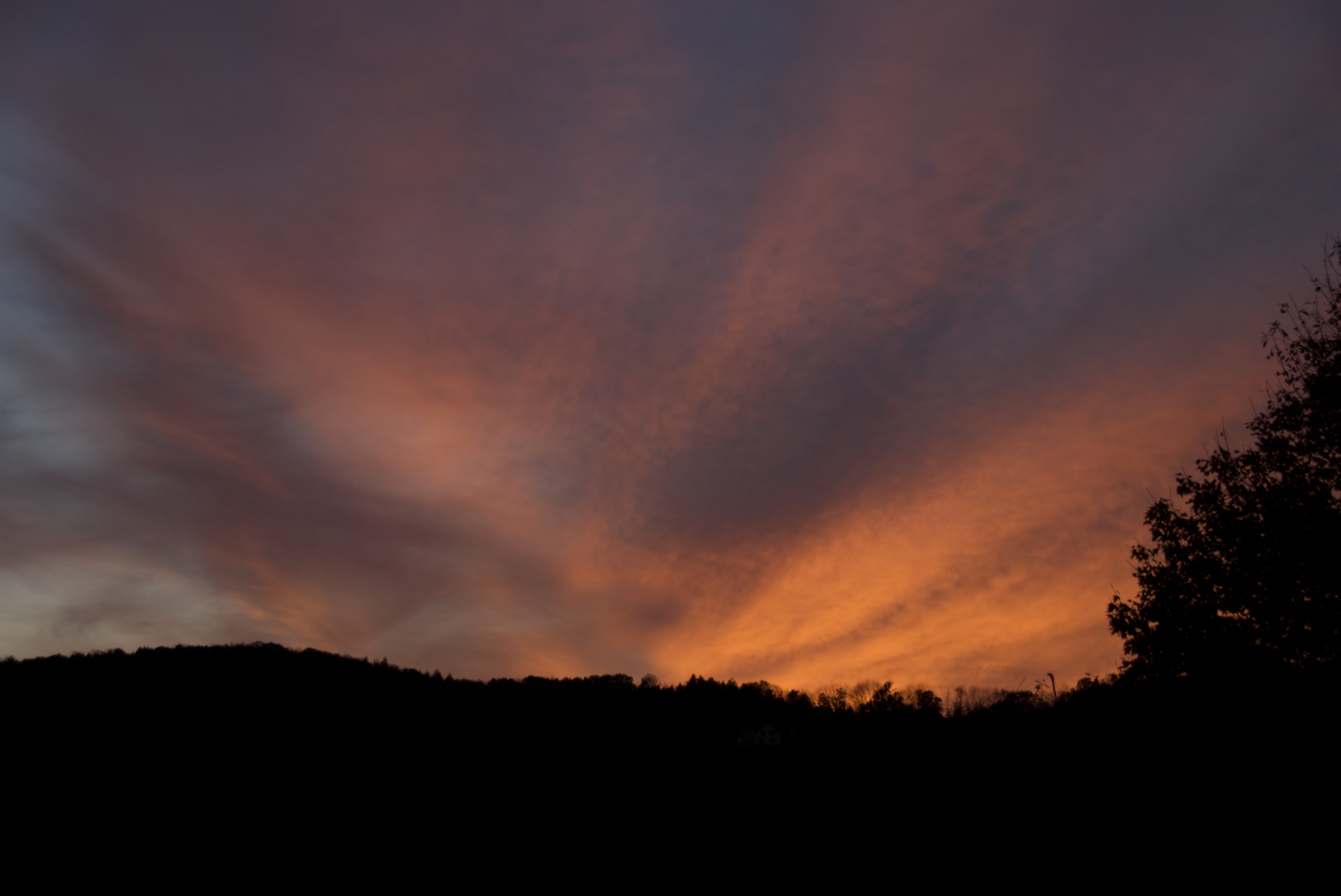
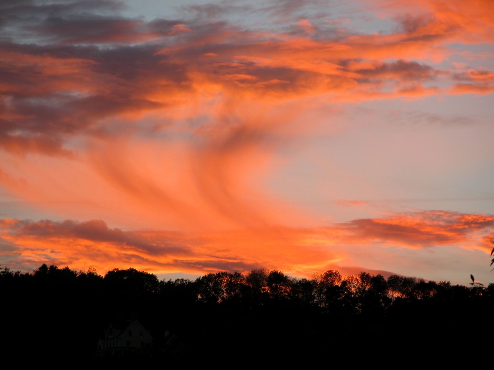
the After Glow

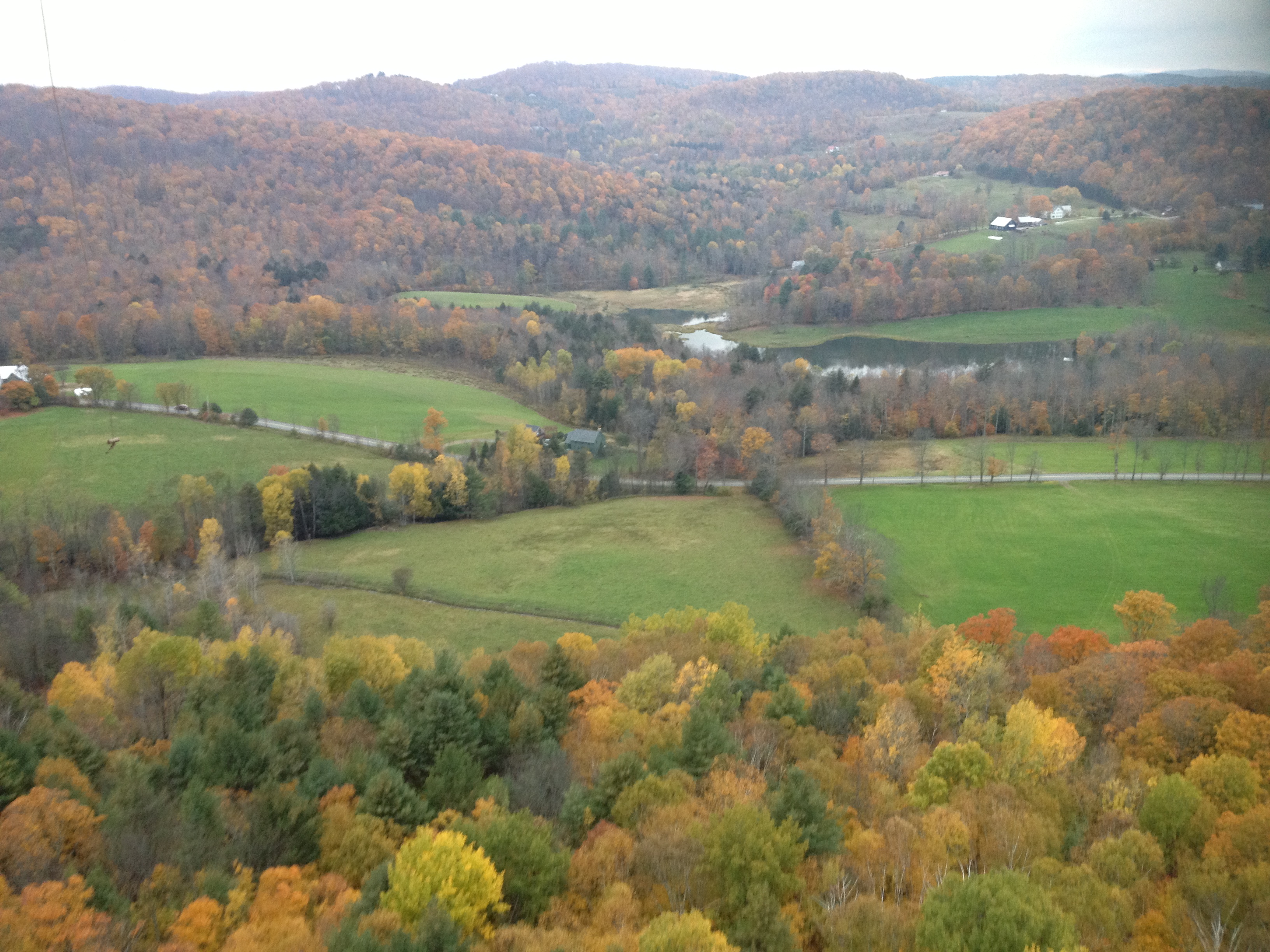
Autumn Dream
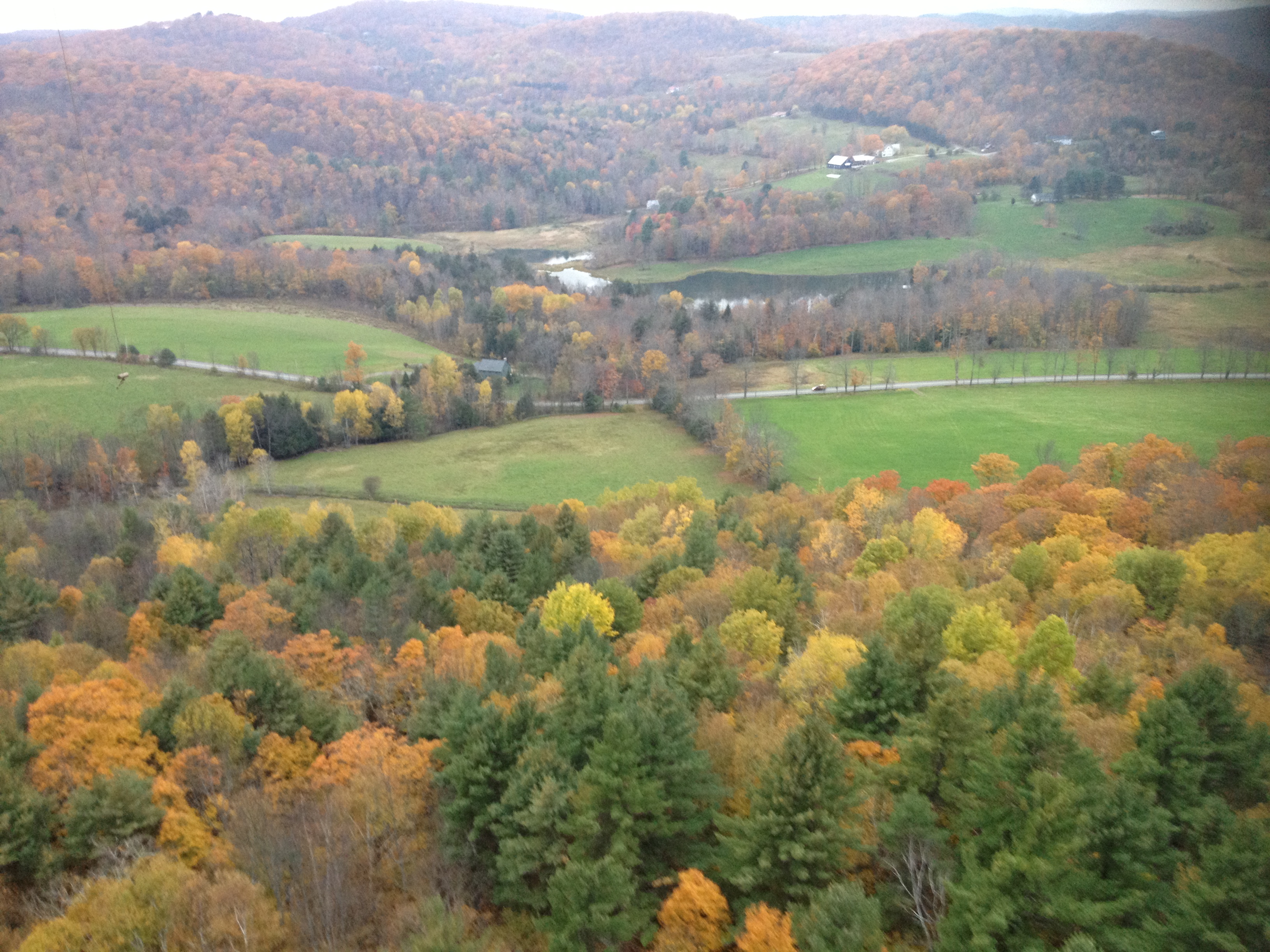
2013-10-12 17.51.31
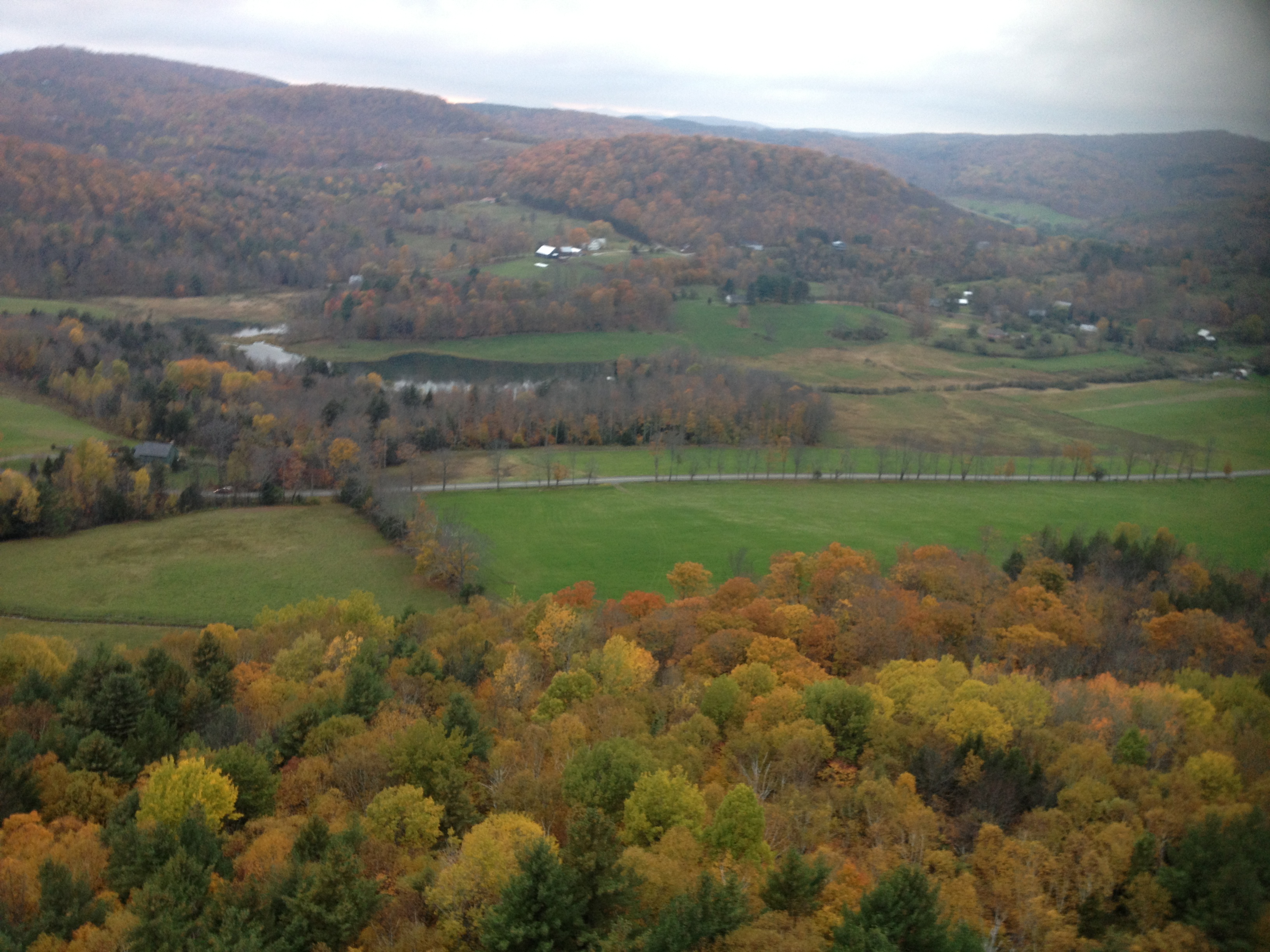
2013-10-12 17.51.37
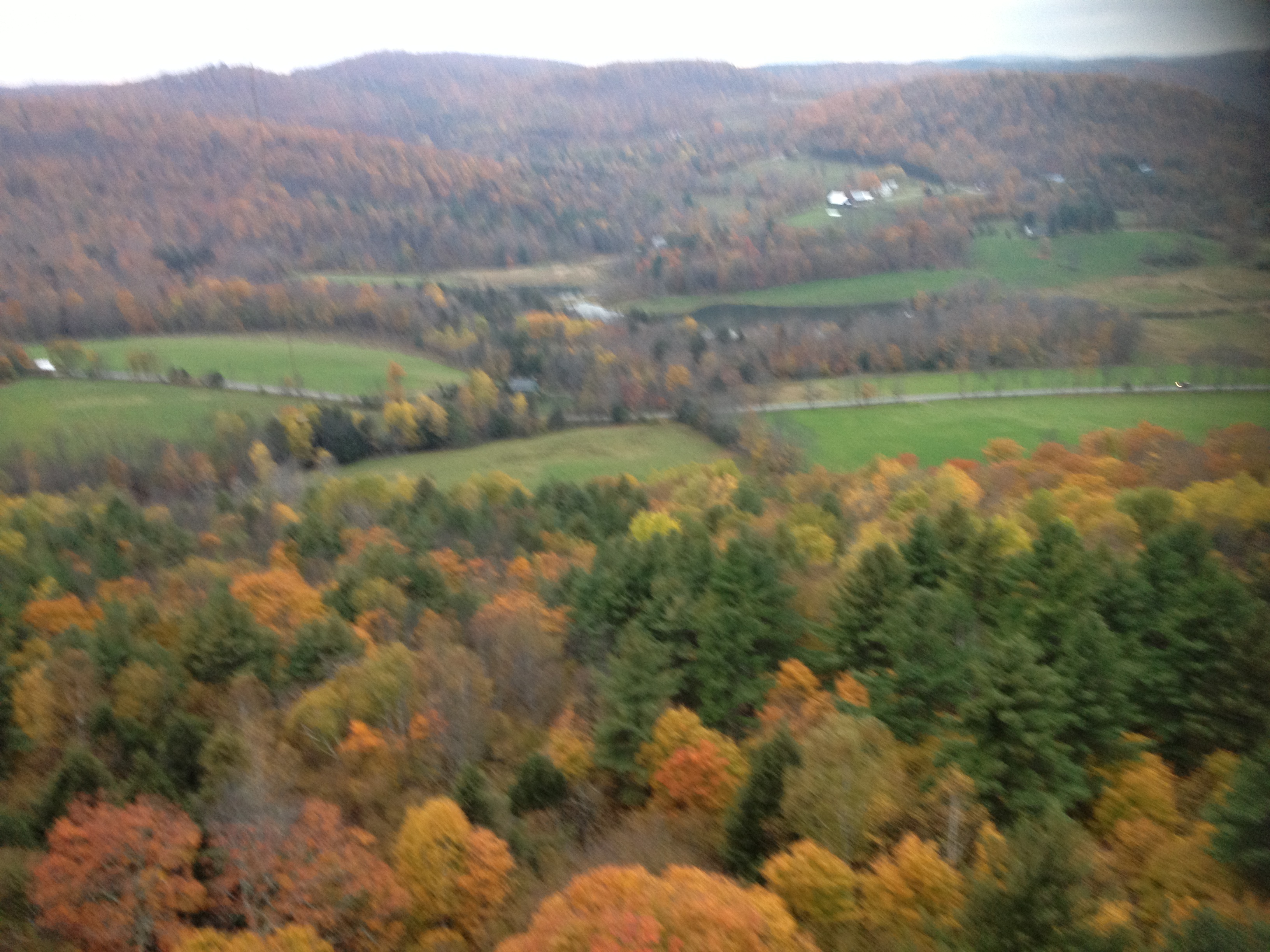
2013-10-12 17.51.23
2013-10-12 17.51.27

Bonnie Acker, Woodstock Gallery, Vermont
2013-10-12 17.51.47

0E3A8258.jpg
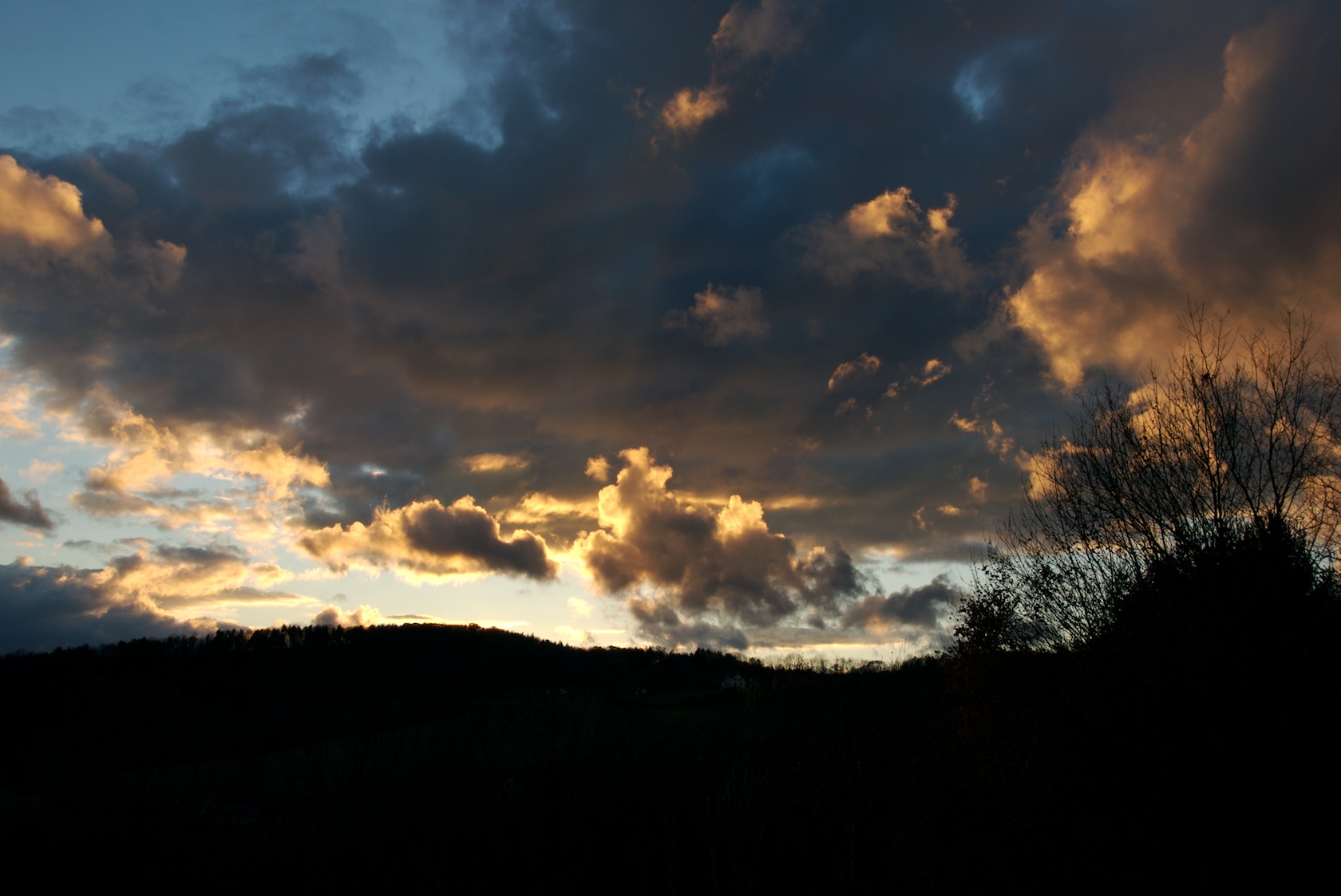
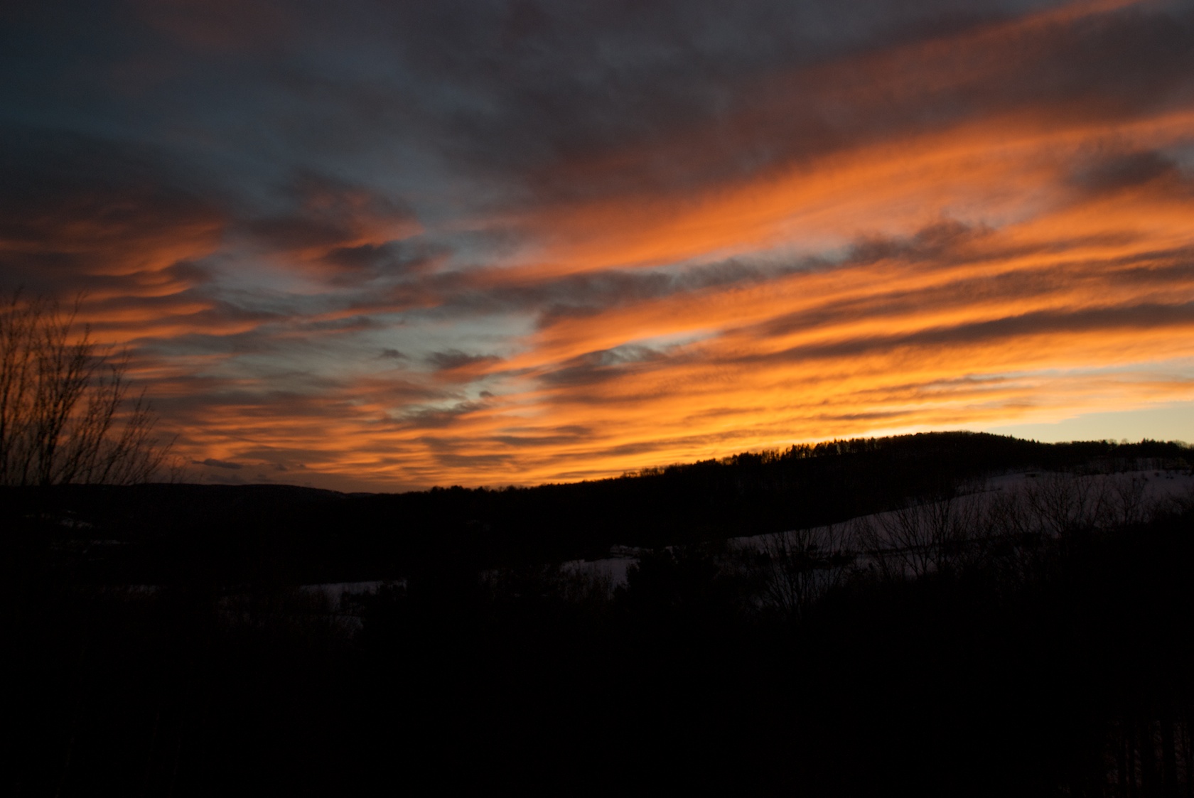
Sunset 15
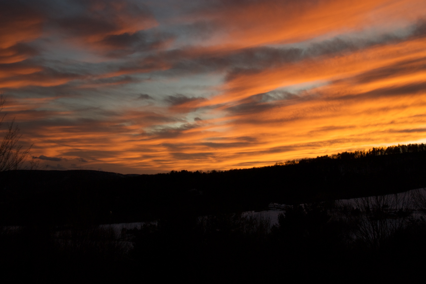
Sunset 9
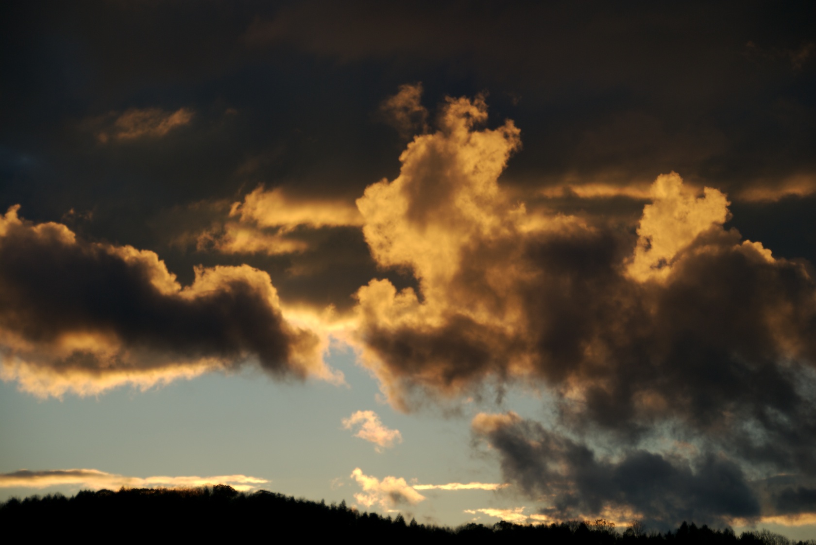
Sunset 8
Sunset 9
Sunset 12
Sunset Over Quechee 3
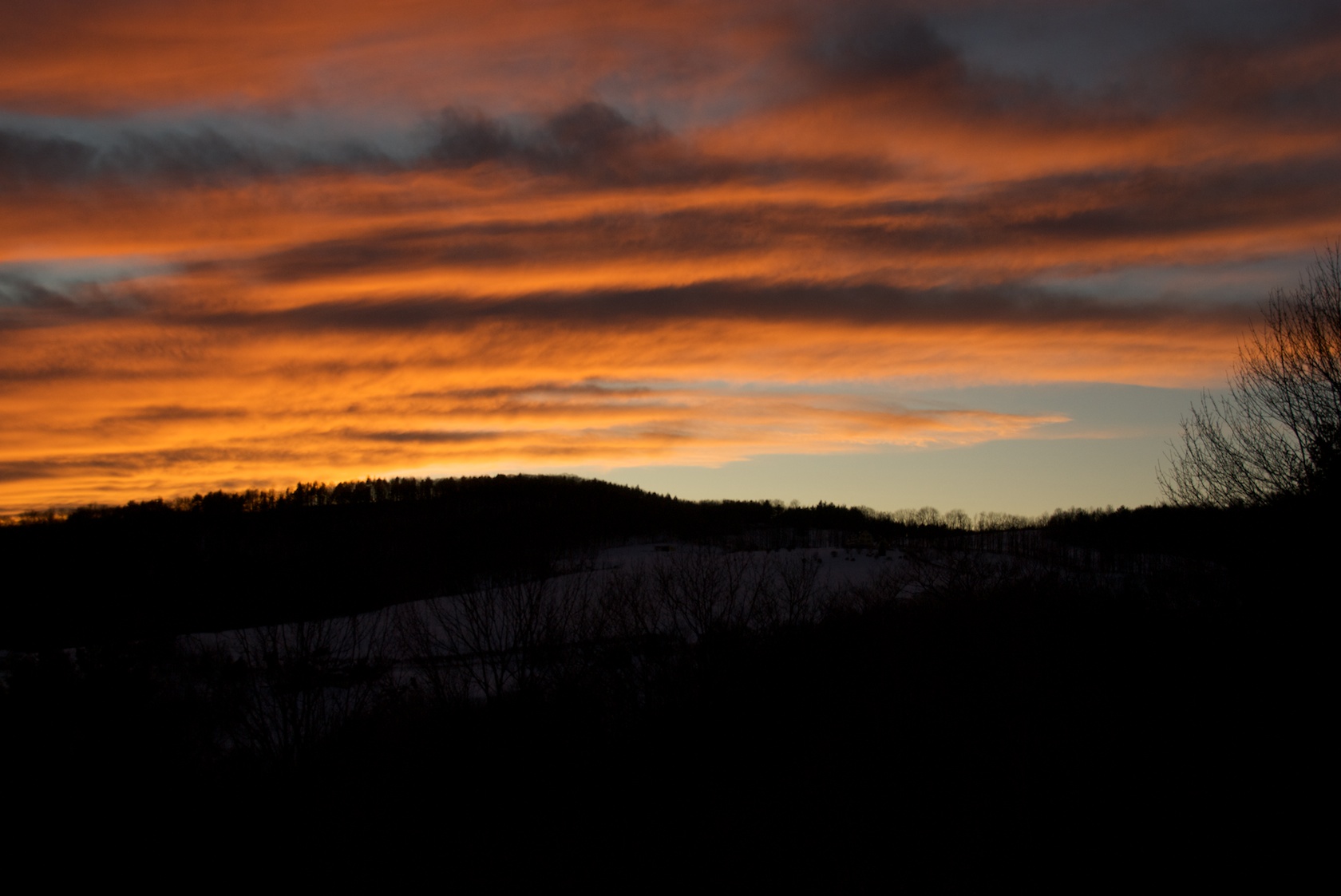
Sunset 12

Sunset 10
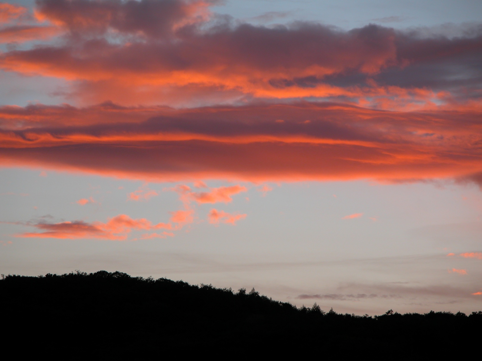
Sunset Over Quechee 5
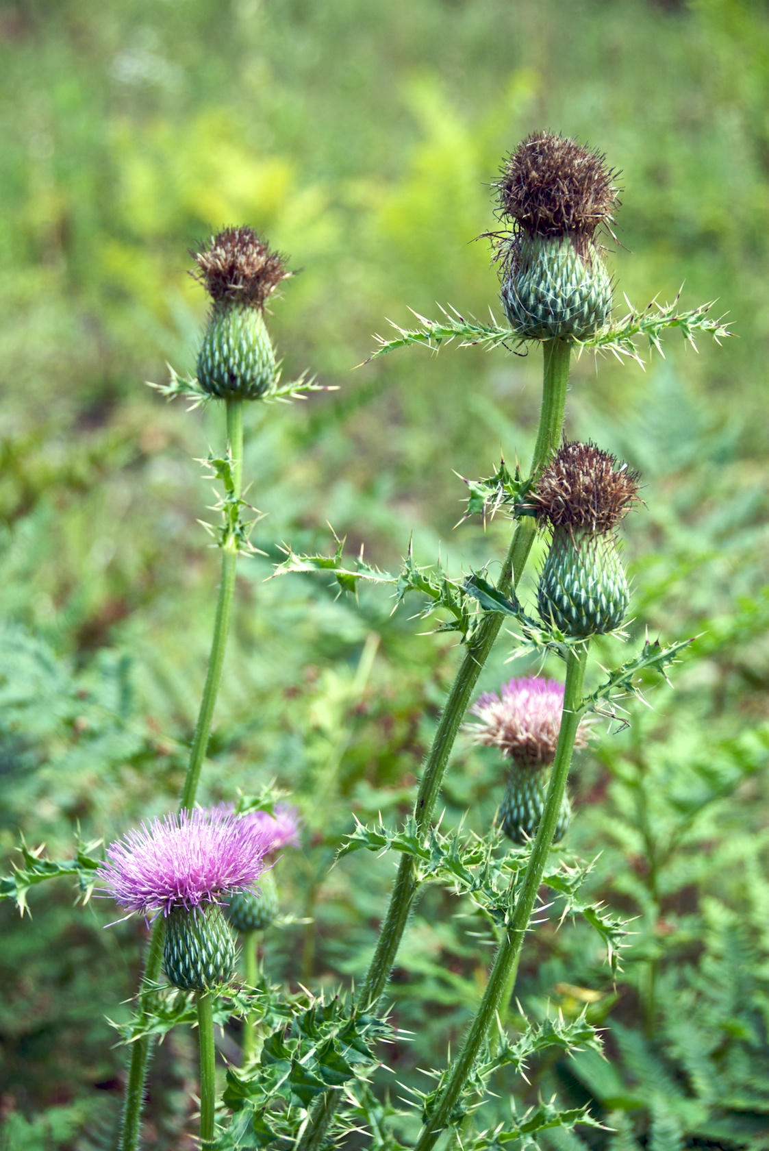
Flowers in Yard 8
Topographic Map of Hill Rd, Bethel, VT, USA
Find elevation by address:

Places near Hill Rd, Bethel, VT, USA:
Barnard
Barnard, VT, USA
5778 Vt-12
317 Bowman Rd
Bowman Road
817 Gulf Rd
3521 Stage Rd
Cowdrey Outlook
694 Walker Hill Rd
2463 Webster Hill Rd
1453 Webster Hill Rd
550 Webster Hill Rd
VT-12, Woodstock, VT, USA
2 Totman Hill Rd
592 Austin Rd
South Pomfret
4496 Pomfret Rd
Pomfret
216 Galaxy Hill Rd
176 Rudge Rd
Recent Searches:
- Elevation of Royal Ontario Museum, Queens Park, Toronto, ON M5S 2C6, Canada
- Elevation of Groblershoop, South Africa
- Elevation of Power Generation Enterprises | Industrial Diesel Generators, Oak Ave, Canyon Country, CA, USA
- Elevation of Chesaw Rd, Oroville, WA, USA
- Elevation of N, Mt Pleasant, UT, USA
- Elevation of 6 Rue Jules Ferry, Beausoleil, France
- Elevation of Sattva Horizon, 4JC6+G9P, Vinayak Nagar, Kattigenahalli, Bengaluru, Karnataka, India
- Elevation of Great Brook Sports, Gold Star Hwy, Groton, CT, USA
- Elevation of 10 Mountain Laurels Dr, Nashua, NH, USA
- Elevation of 16 Gilboa Ln, Nashua, NH, USA